Every image is free to use — no credit required. See license below.
Jason D’s VisionSweden
450 scenes
Sweden
Dagens ord · Word of the daybaka“to bake”·“Vi bakar äppelpaj på söndag.”“We bake apple pie on Sunday.”Day 298 of 365
Our promise to creators
Beautiful, realistic imagery should never stand between a creator and their work. Everything in this gallery is free to use — for any purpose, forever, with no credit required. We make these images so the people doing the work always have something stunning to build on.
Gallery split across 3 pages — search & filters apply to this page only (scenes 301–450 of 450).
No scenes match your search.
SE-01-298
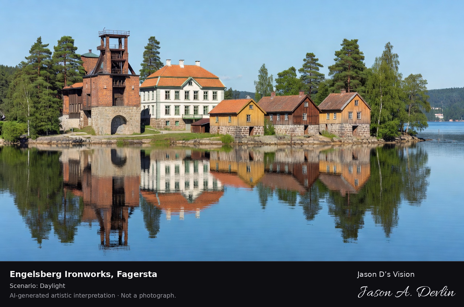
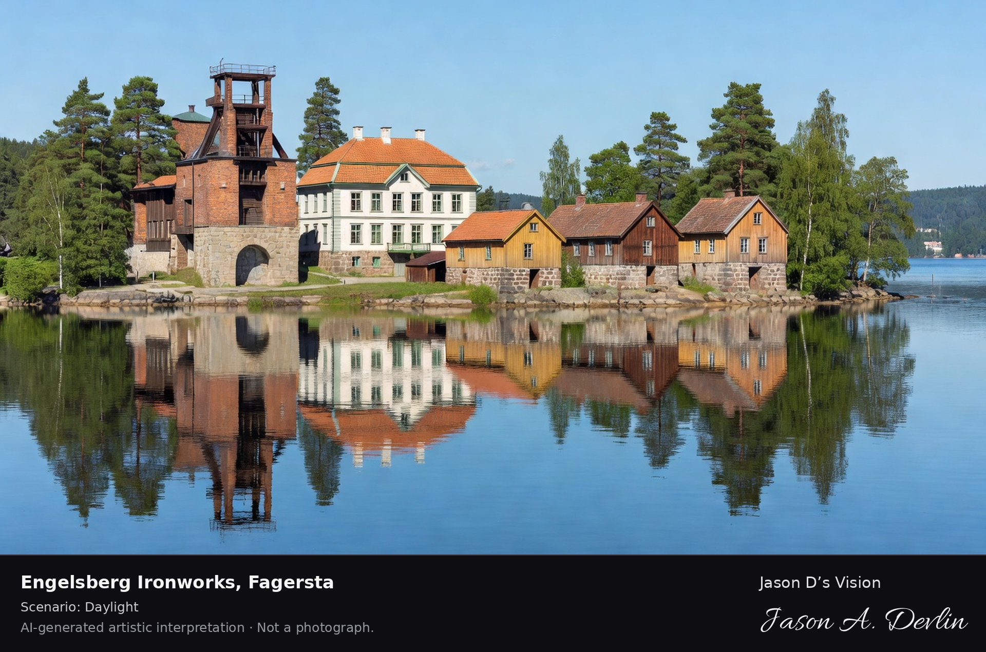
Engelsberg Ironworks, Fagersta
Scenario: Daylight
Engelsberg Ironworks' complete 18th-century industrial ensemble on the strait, the UNESCO-listed blast furnace, manor and workers' houses reflected in the water.
Bright daylight on the strait at Engelsberg Ironworks, Fagersta — the UNESCO-listed 18th-century industrial ensemble: the brick blast-furnace tower, the manor, and rows of workers' houses mirrored in the calm water.
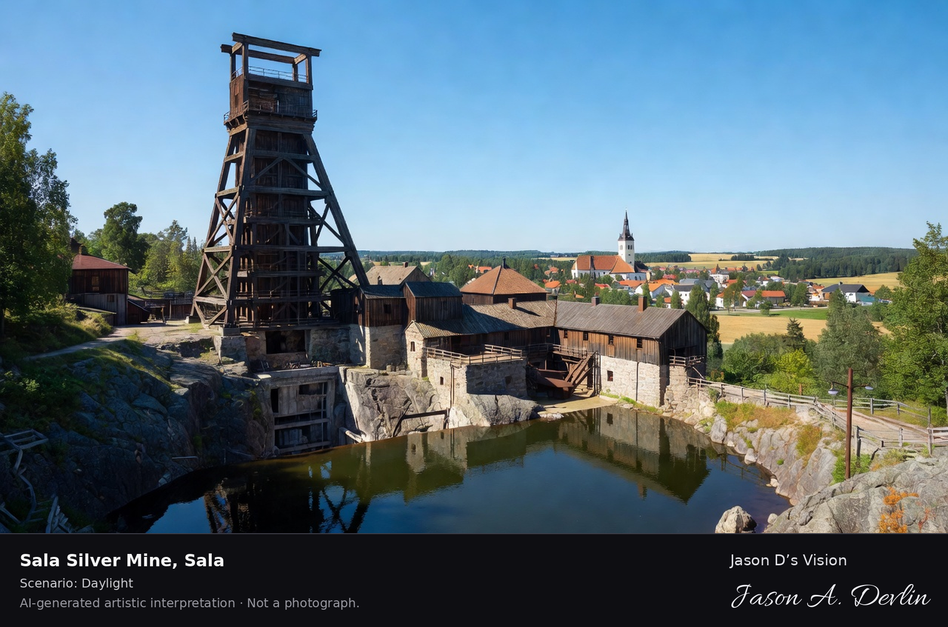
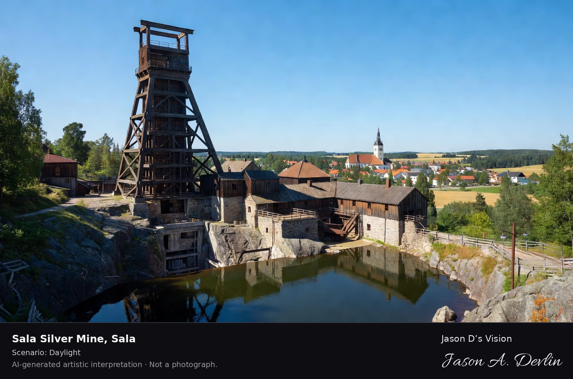
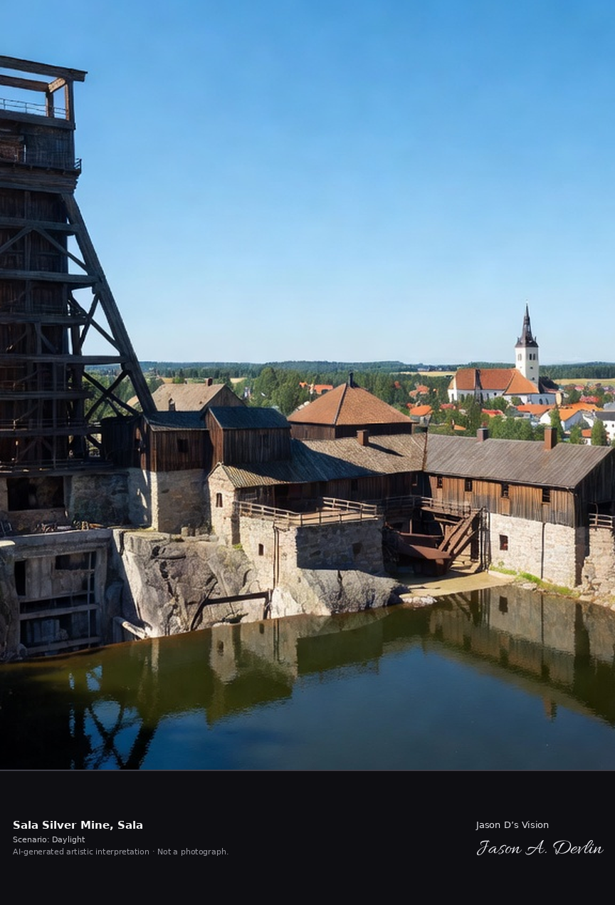
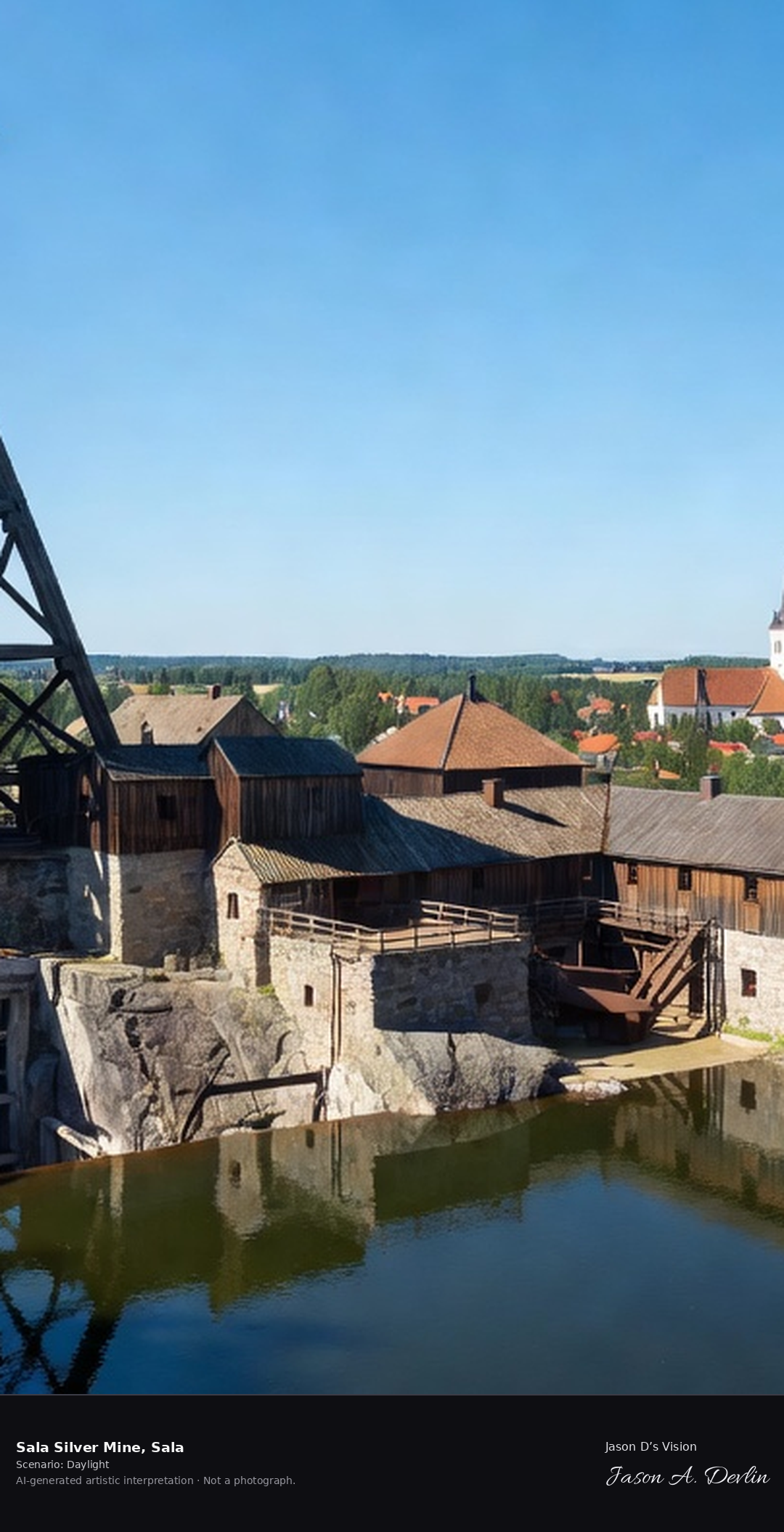
Sala Silver Mine's Queen Christina's shaft headframe above the 300-meter-deep mine, the historic silver works with its underground lake and the town's church beyond.
Bright daylight over Sala Silver Mine, Sala — Queen Christina's tall timber shaft headframe above the 300-meter-deep mine, the historic silver-works buildings, the water basin, and the town church spire on the horizon.
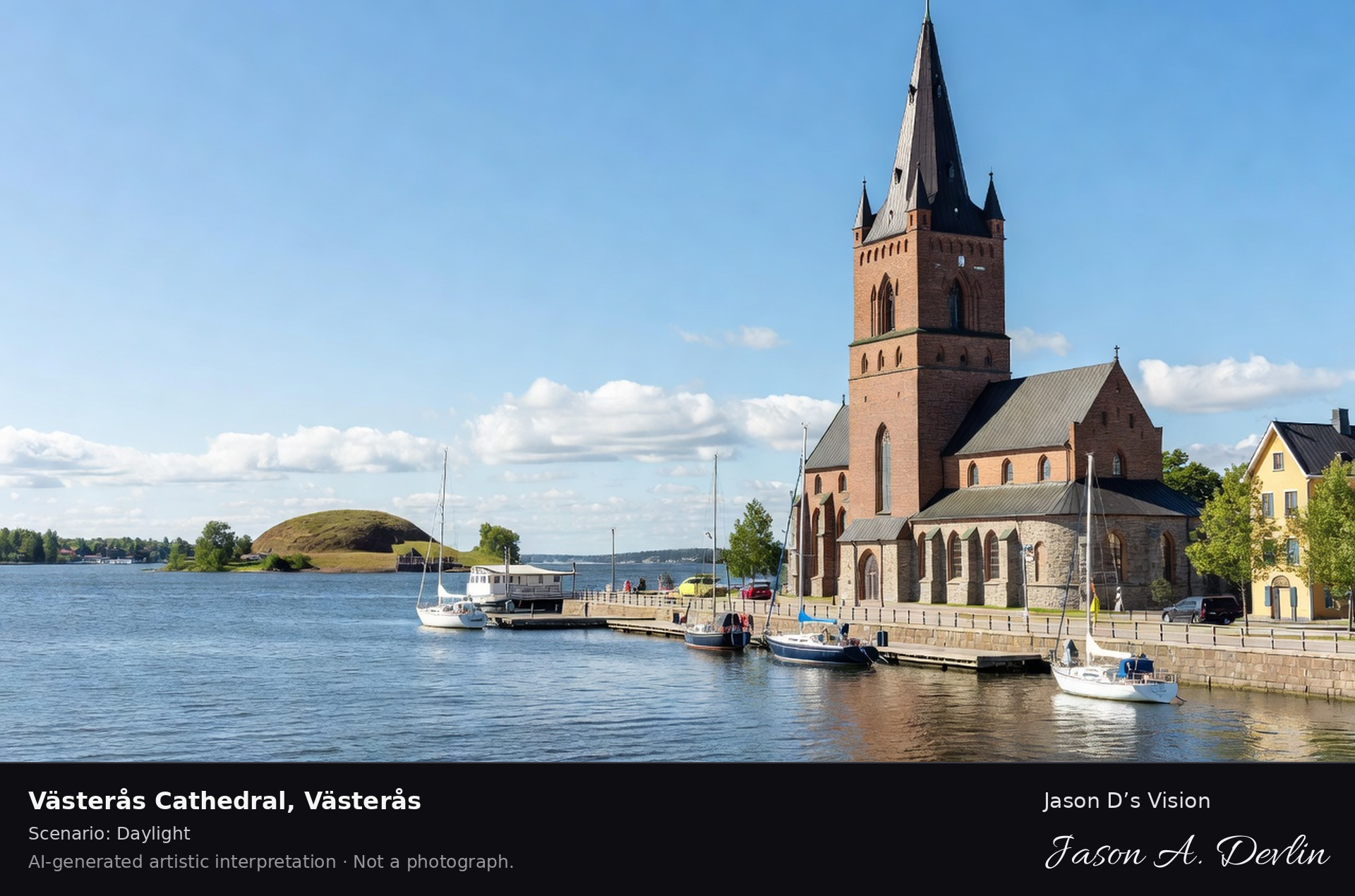
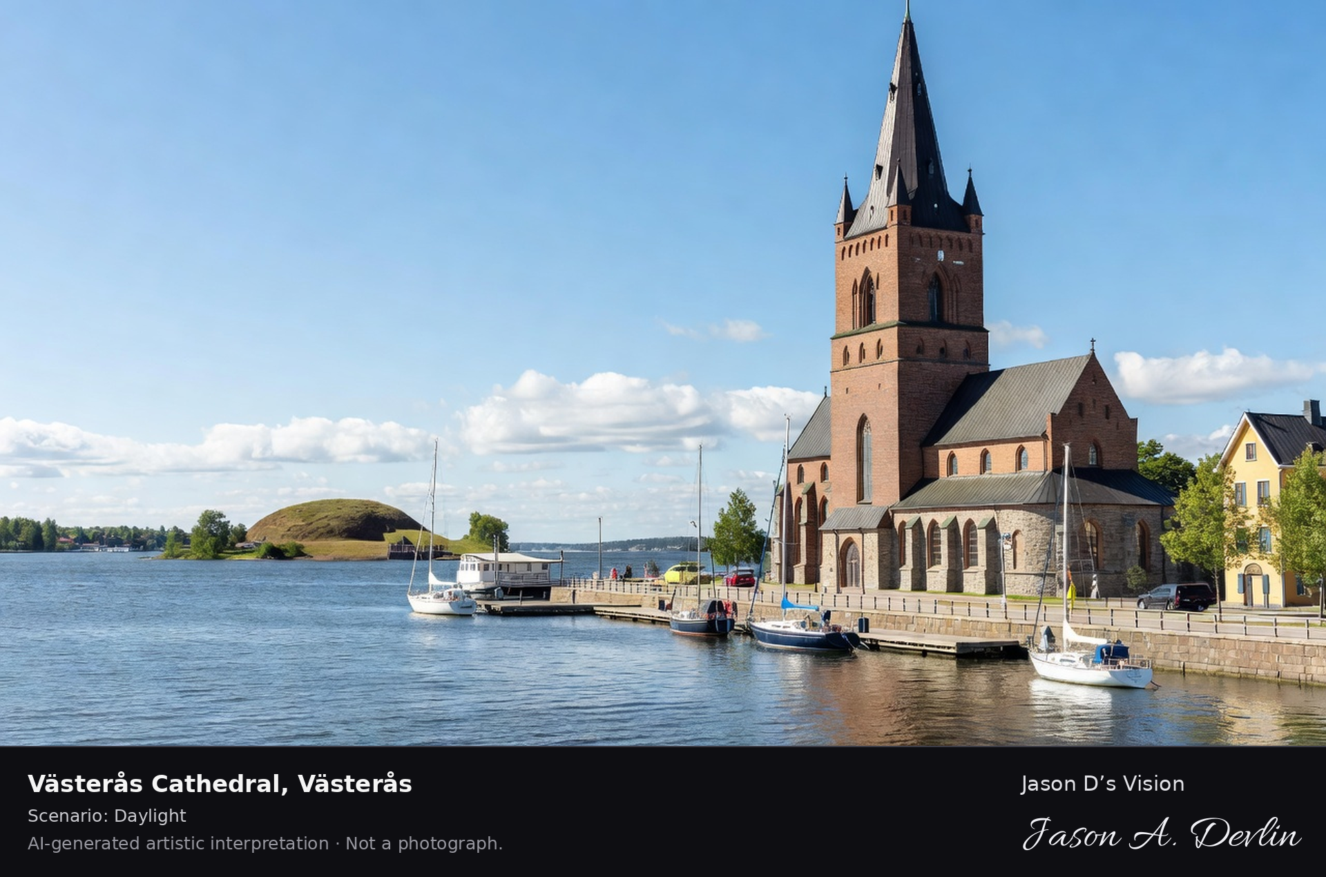
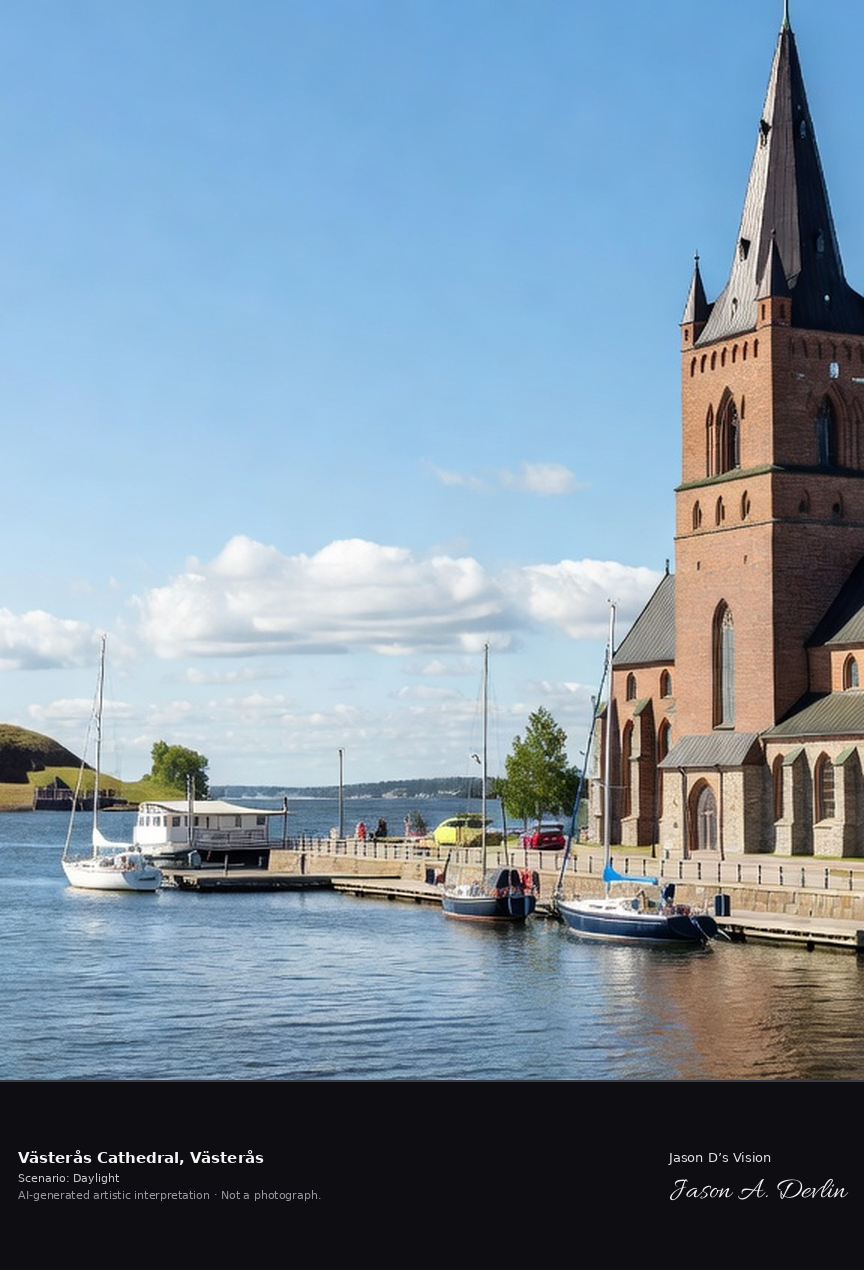
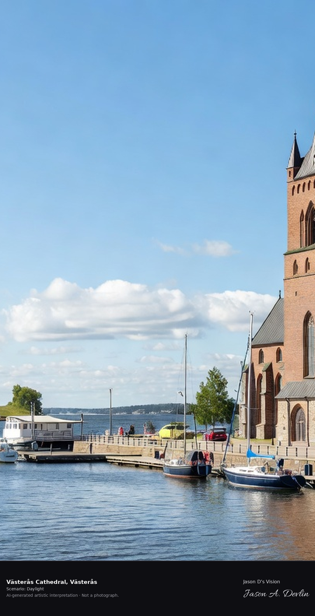
Västerås Cathedral's 92-meter brick tower above the Mälaren harbor, Scandinavia's oldest cathedral chapter with the Anundshög burial mound visible across the water.
Bright daylight over Västerås Cathedral, Västerås — the 92-meter red-brick Gothic tower with its tall dark spire above the Mälaren harbor, moored sailboats along the quay, and the grass-topped Anundshög burial mound visible across the water.
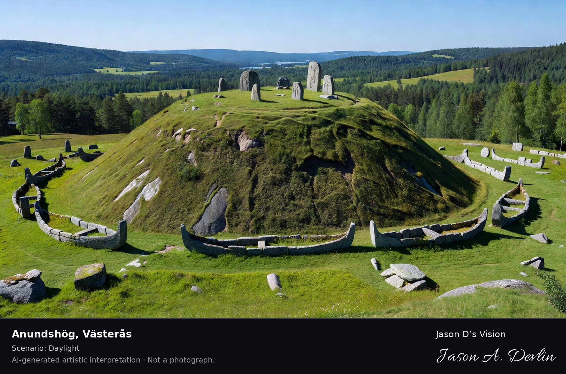
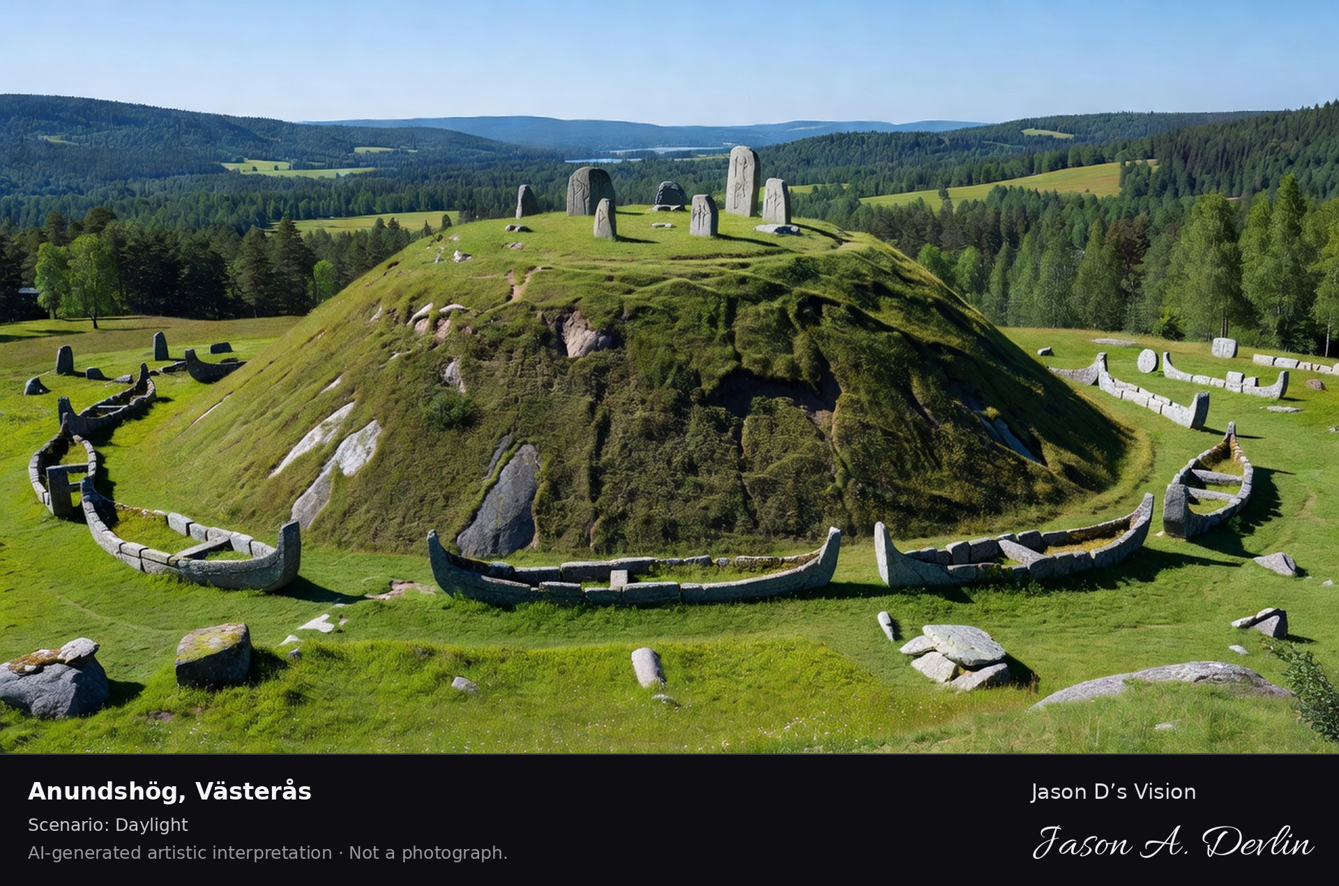
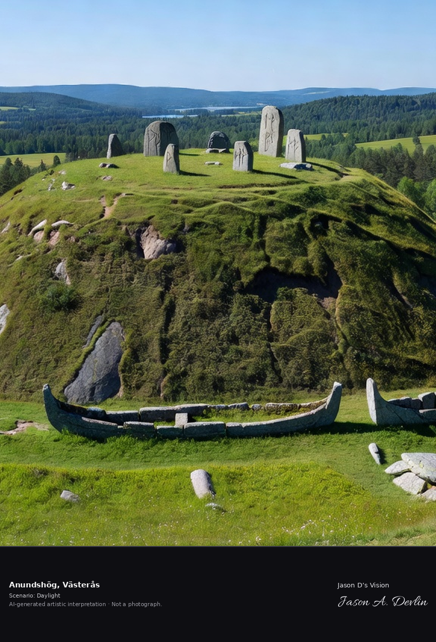
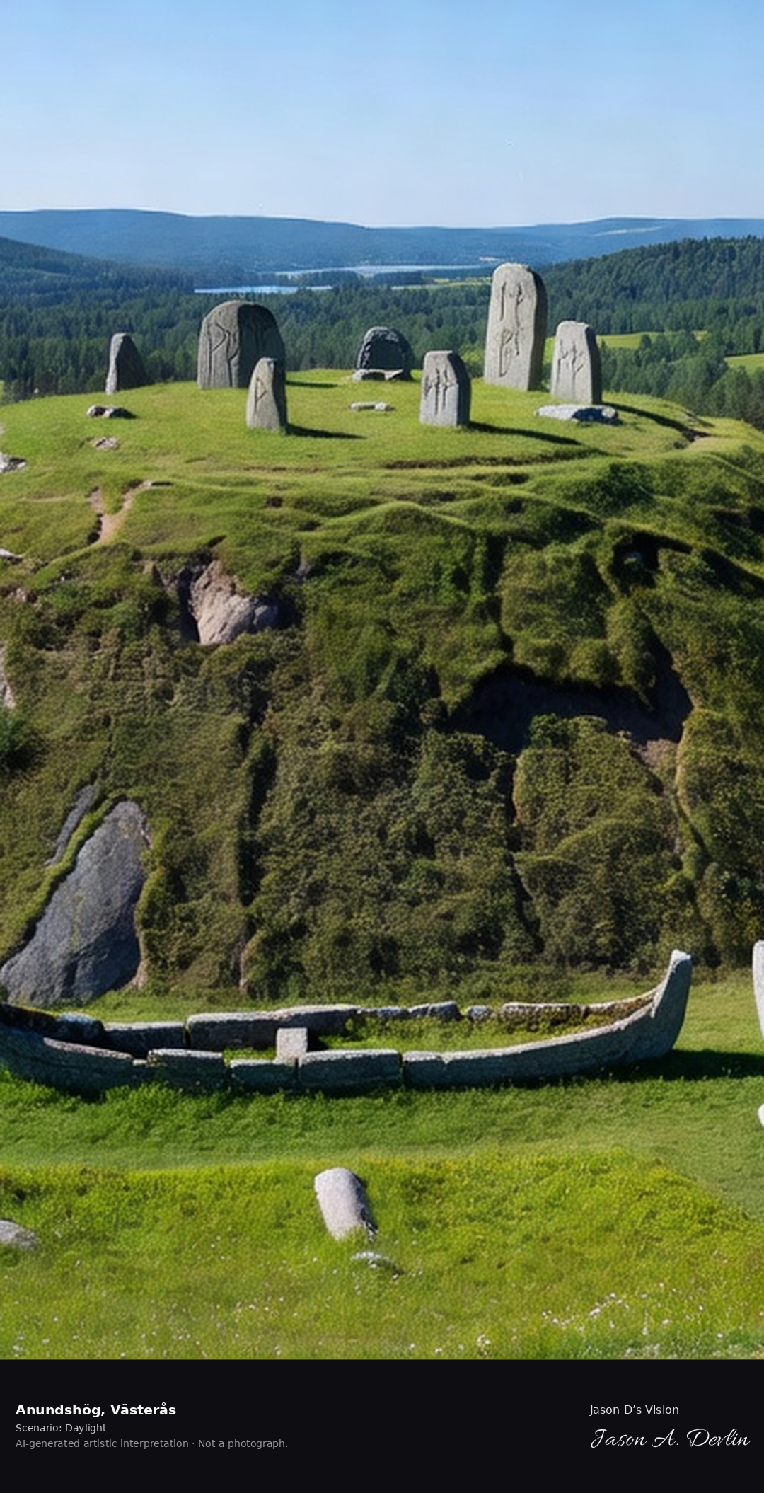
Anundshög, Sweden's largest burial mound at 68 meters wide, with its stone ship settings and the Eriksgata runestones on the ridge above the Mälaren valley.
Bright daylight over Anundshög, Västerås — Sweden's largest burial mound, a great grass dome 68 meters wide crowned with the Eriksgata runestones, stone ship settings ringing its base, the Mälaren valley and its lake spreading green beyond.
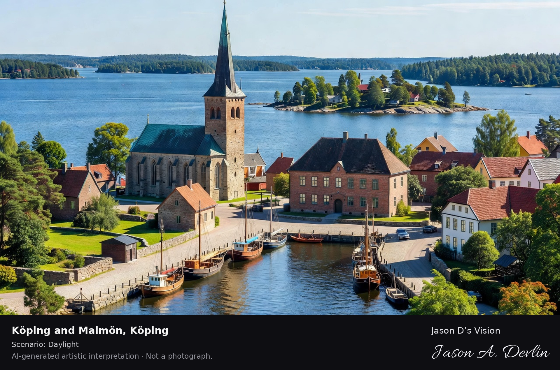
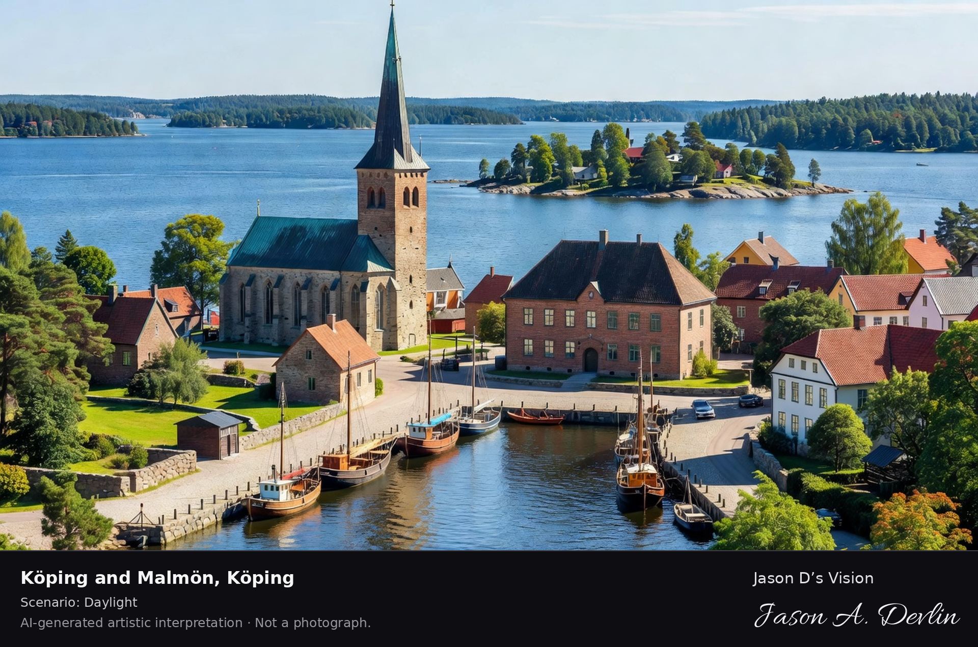
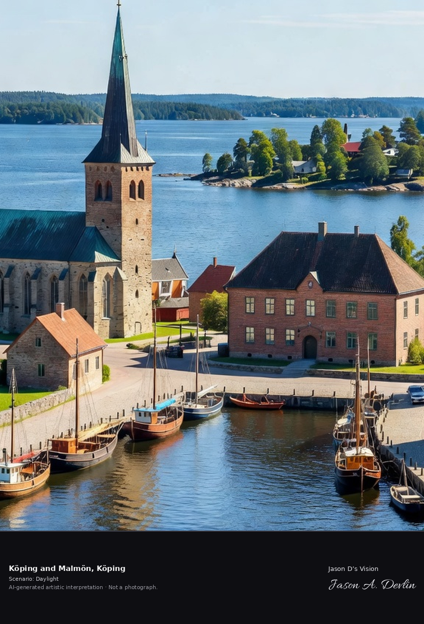
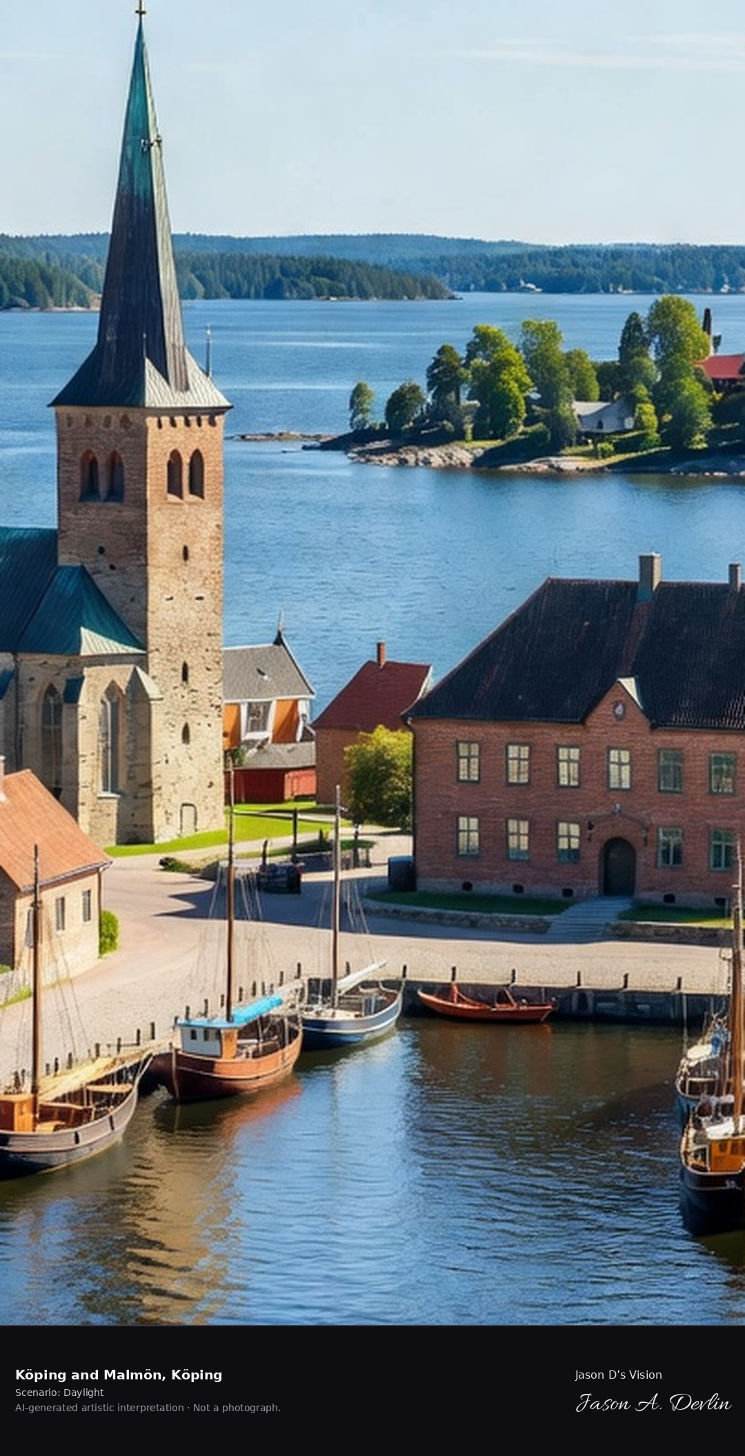
Köping's medieval church and the historic harbor on Lake Mälaren, the old shipping town with its 17th-century town hall and the lake beyond.
Bright daylight over Köping and Malmön — Köping's medieval stone church with its tall spire beside the historic harbor on Lake Mälaren, moored boats along the quay, the 17th-century town-hall row and old shipping town, the lake's wooded island beyond.
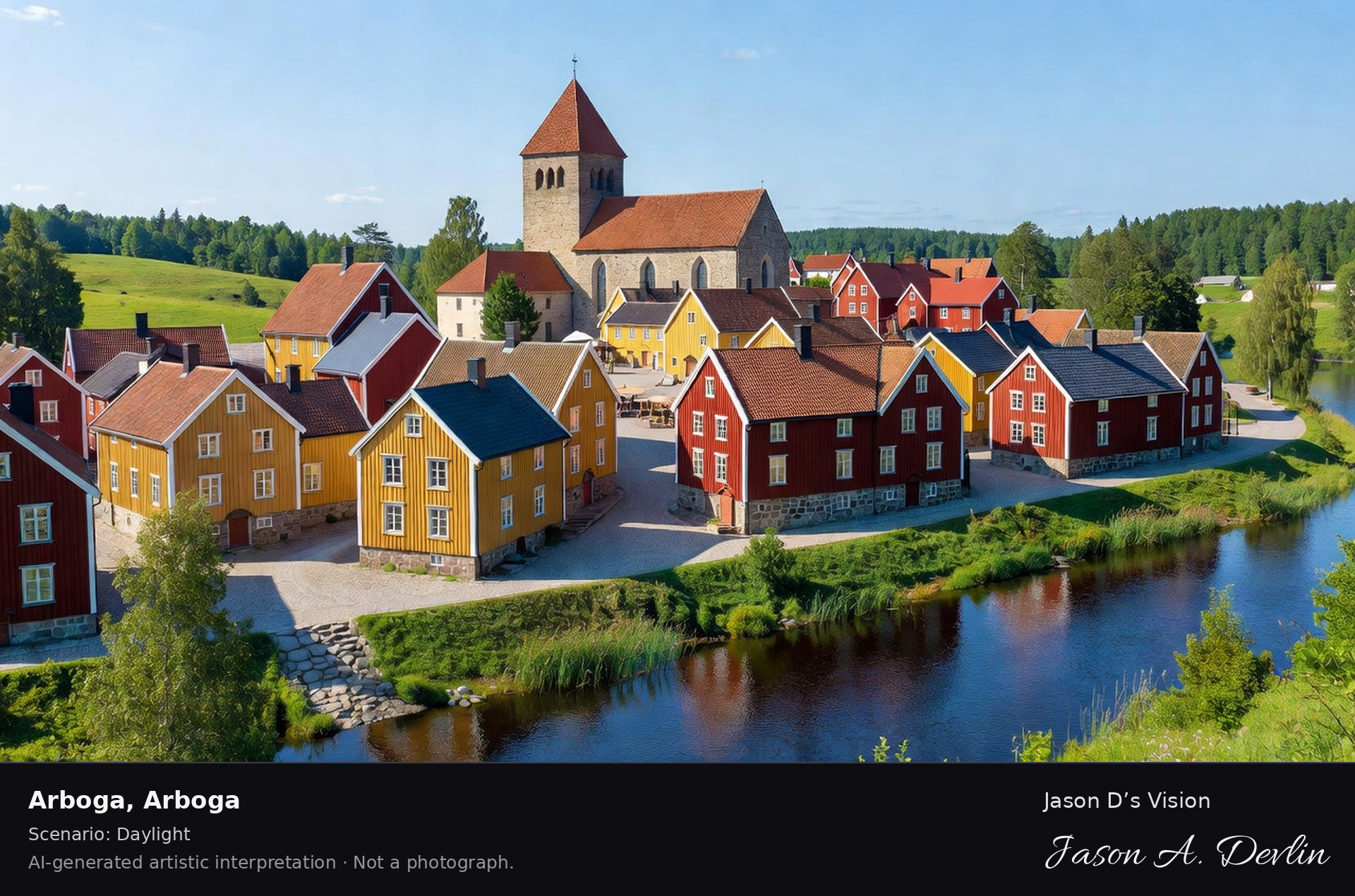
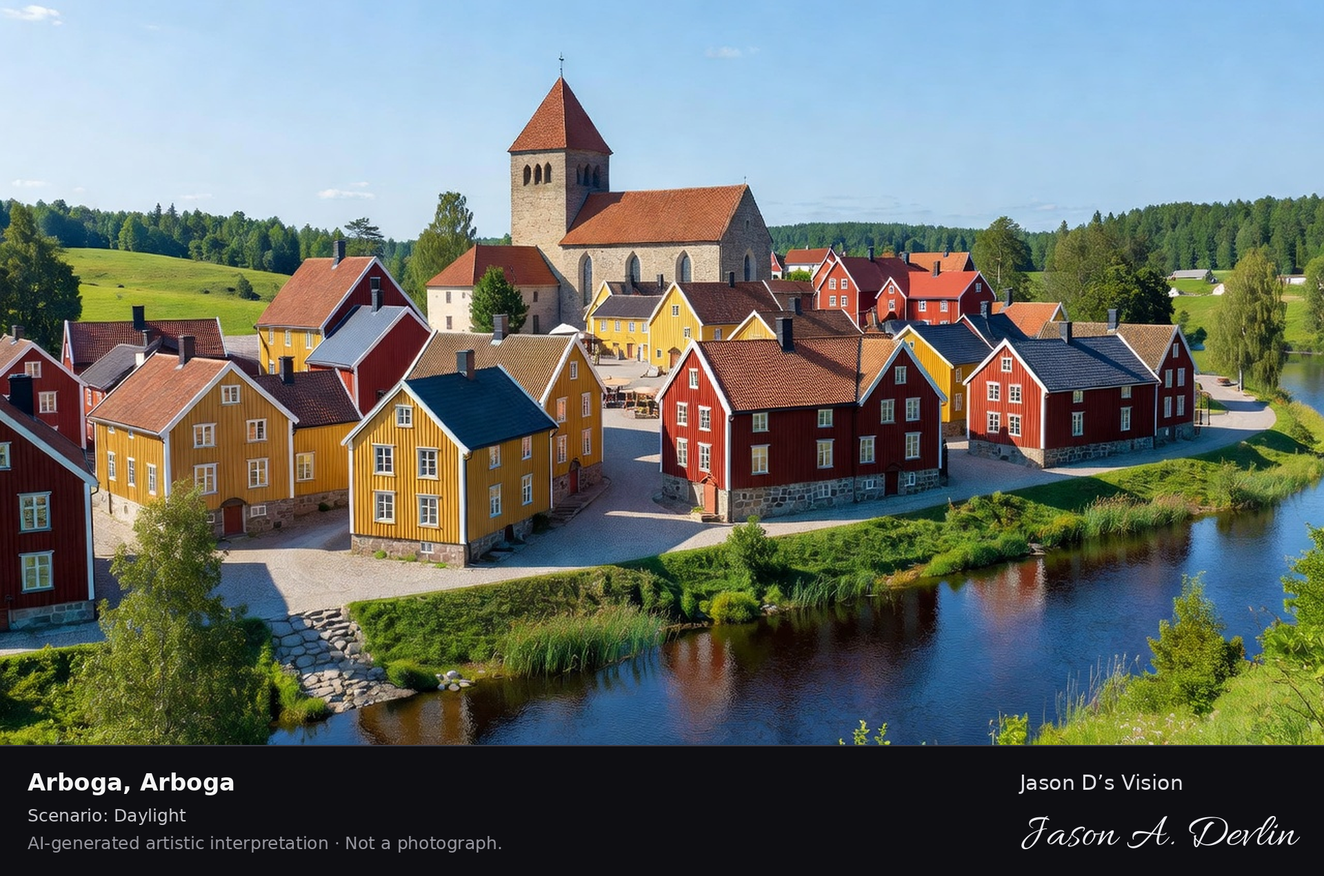
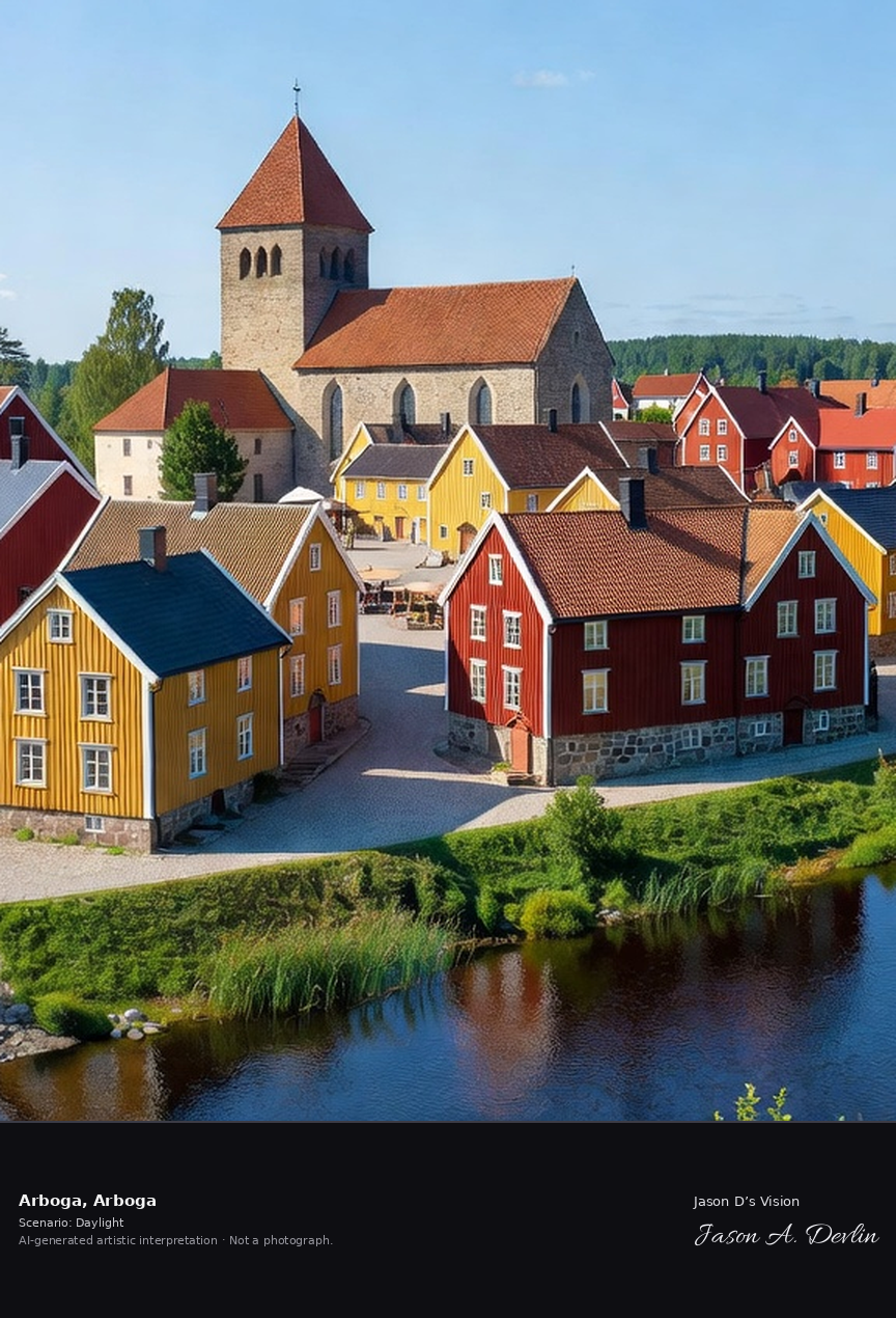
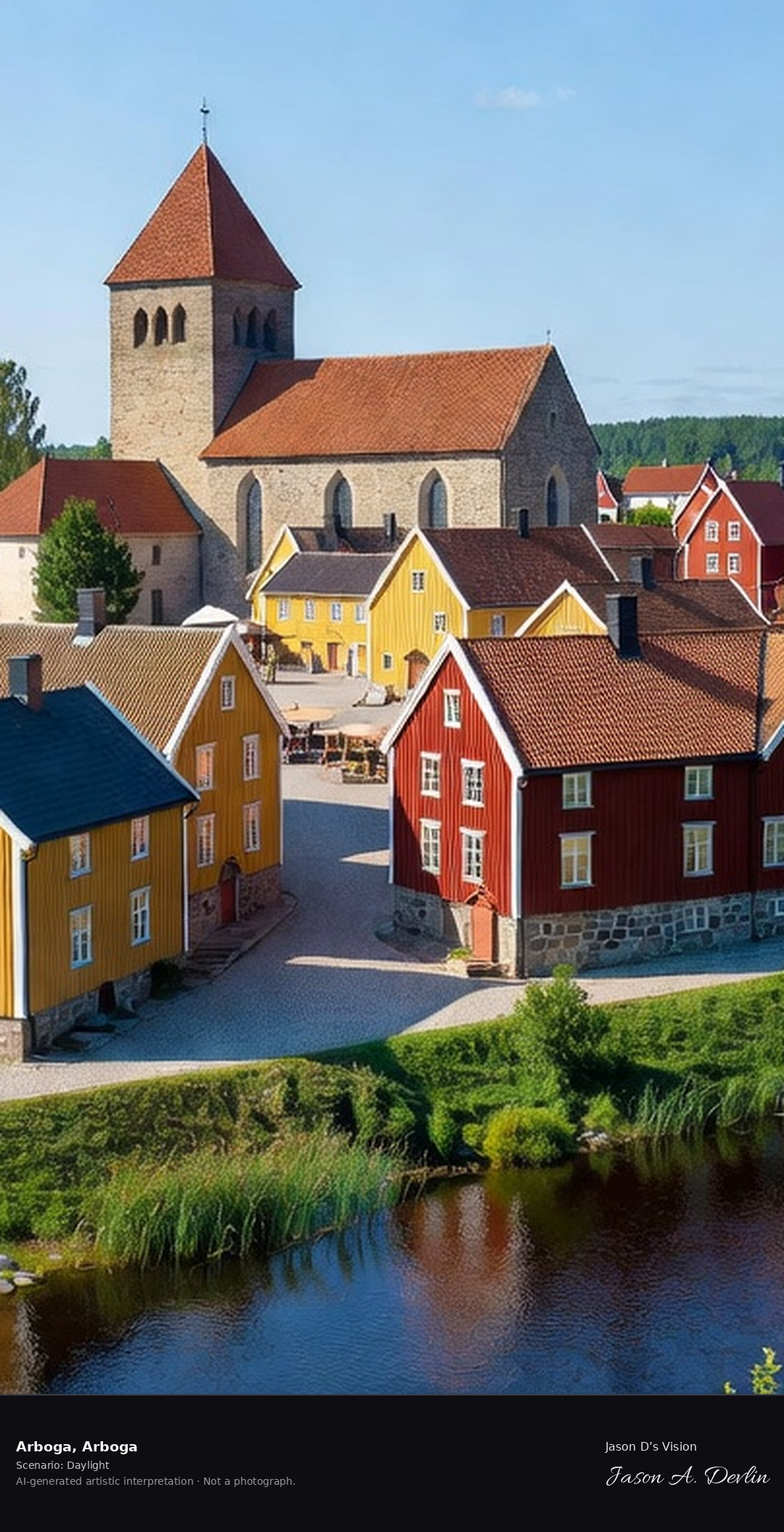
Arboga's medieval town center with the Heliga Trefaldighet church and the Arbogaån river, the town of Sweden's first parliament in 1435.
Bright daylight over Arboga — Arboga's medieval town center with the Heliga Trefaldighet stone church and its tall spire, colorful wooden merchant houses, the Arbogaån river in the foreground and green hills beyond. The town of Sweden's first parliament in 1435.
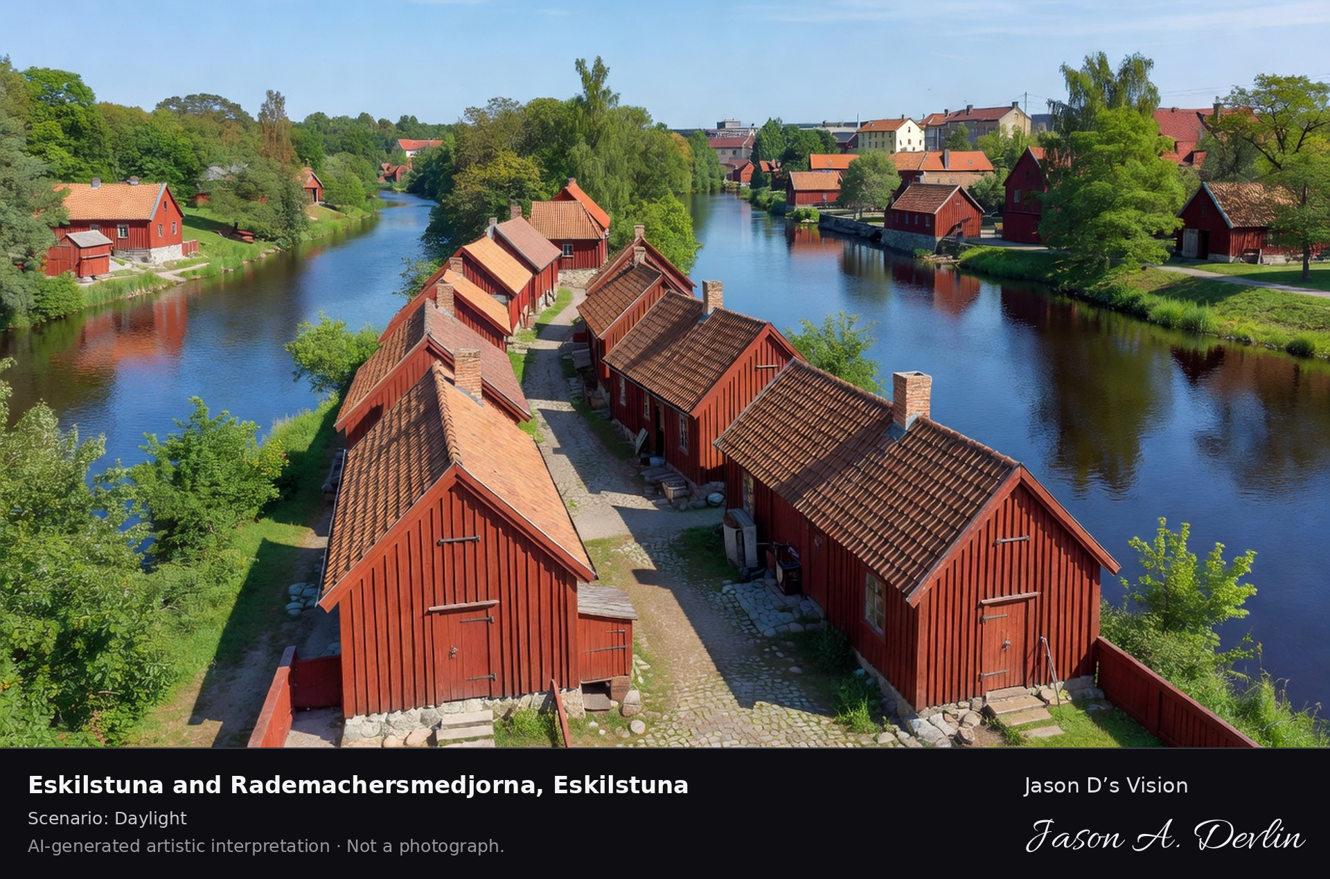
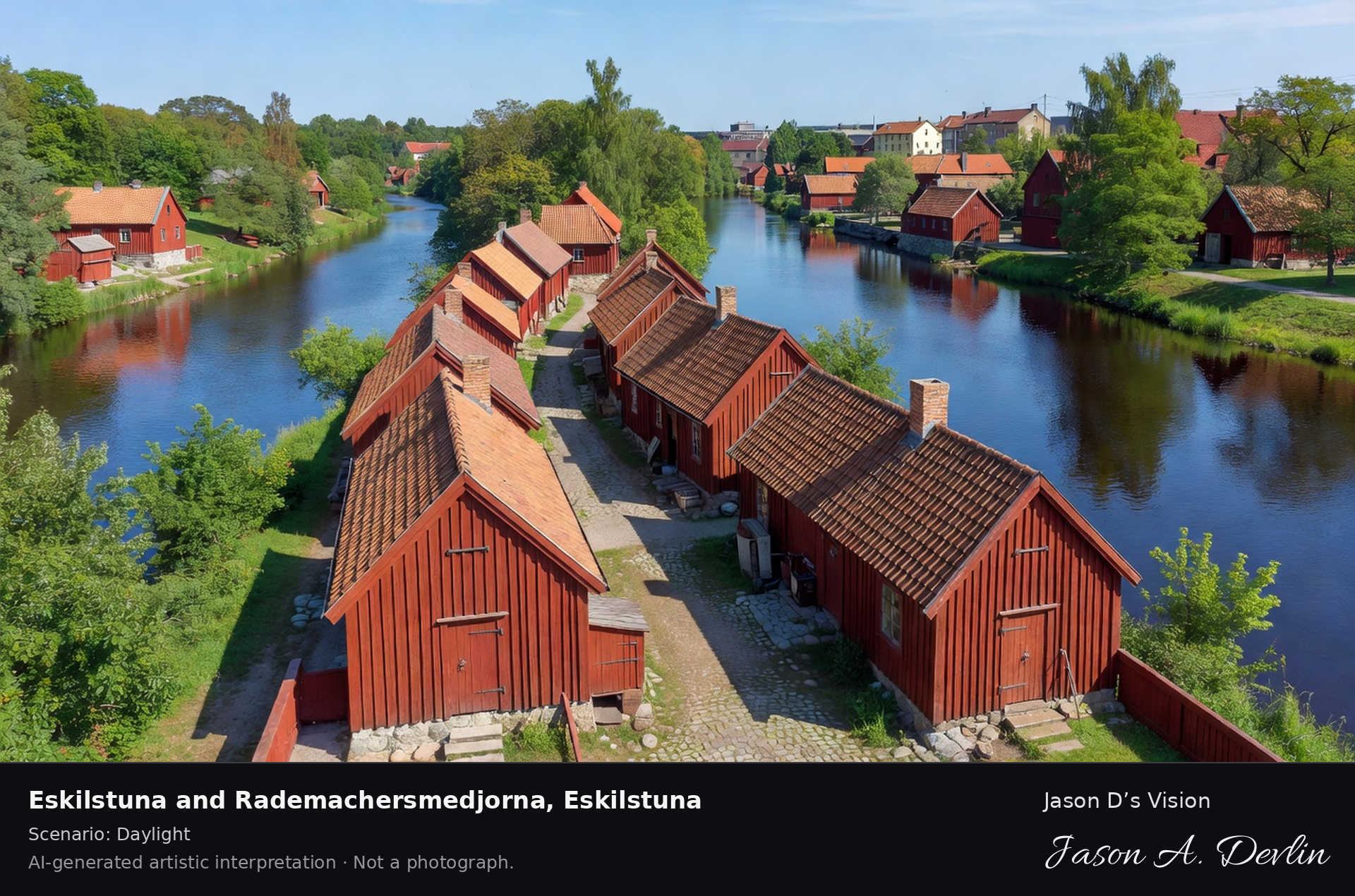
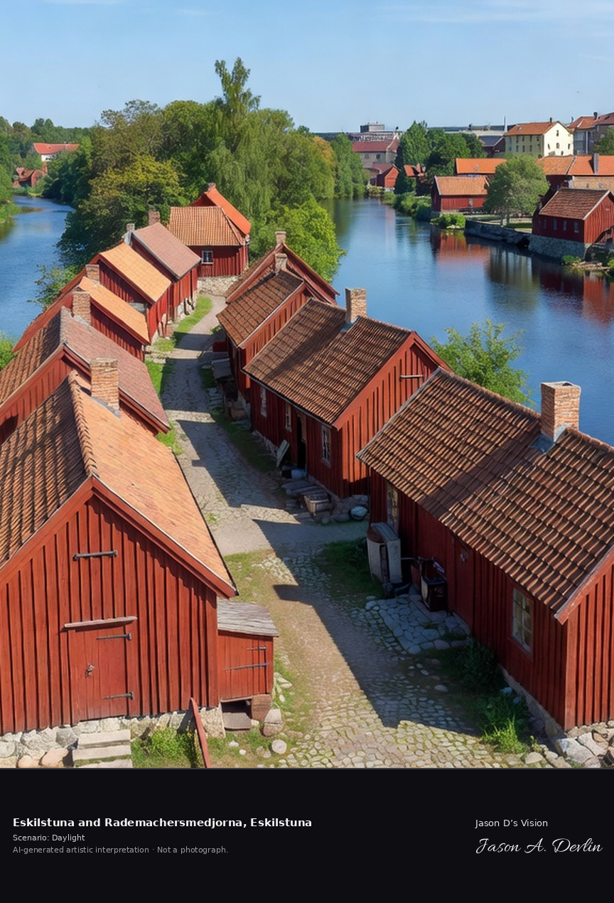
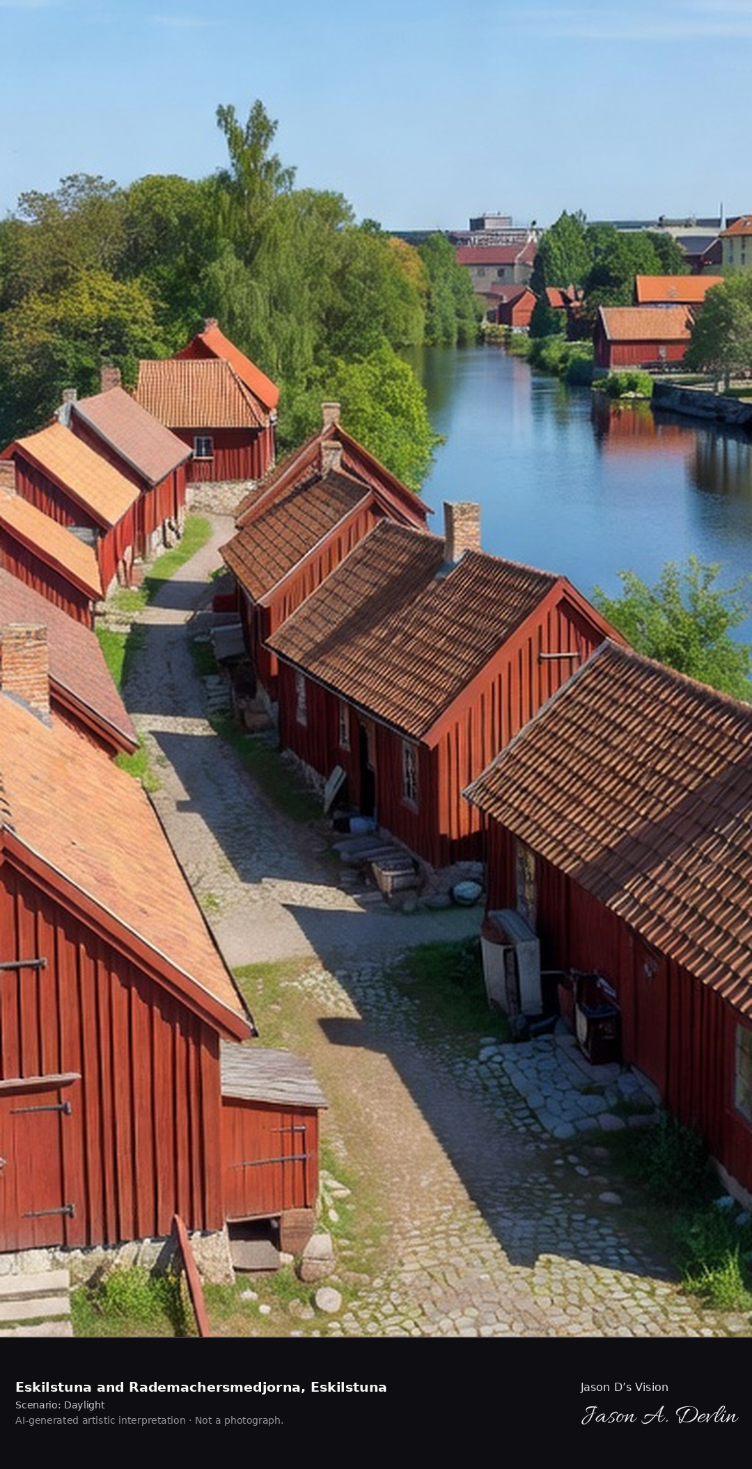
Rademachersmedjorna's 17th-century forge cottages along the Eskilstunaån, the preserved smiths' quarter with its red workshops and the river running through.
Bright daylight over Eskilstuna and Rademachersmedjorna — the preserved 17th-century smiths' quarter with rows of red wooden forge cottages and tile roofs along the cobblestone lane, the Eskilstunaån river running through on both sides, green trees and the town beyond.
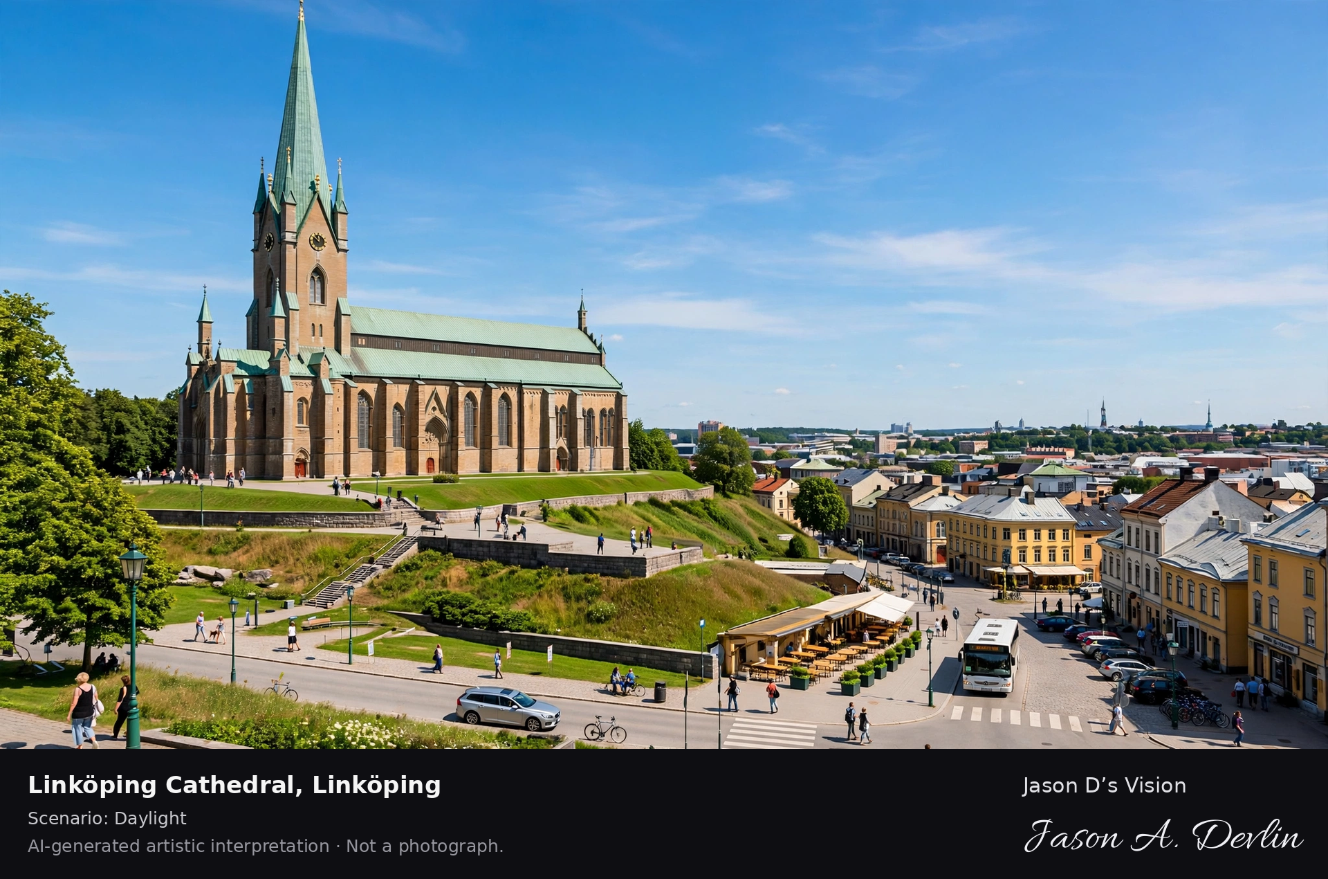
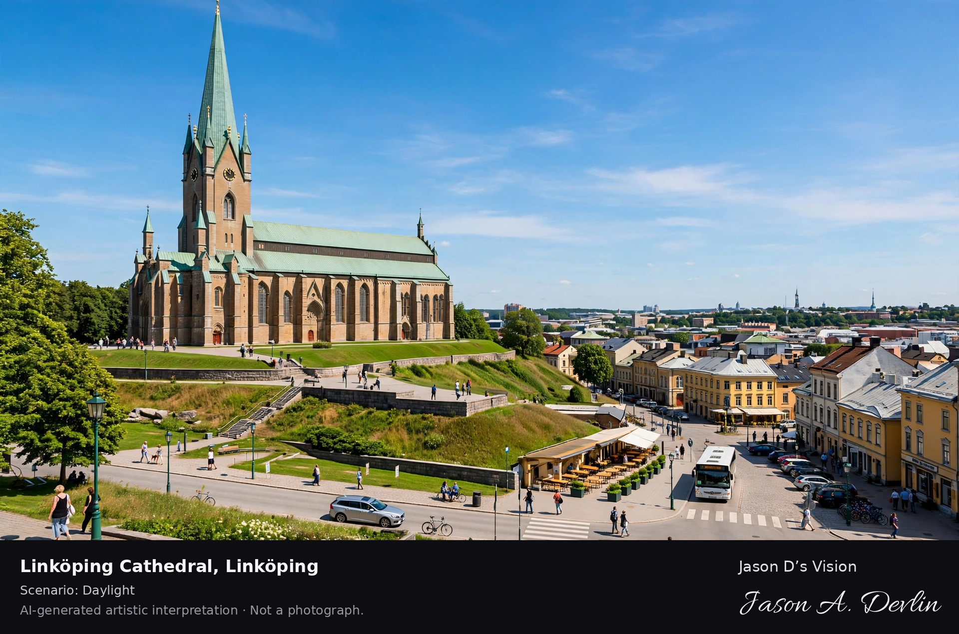
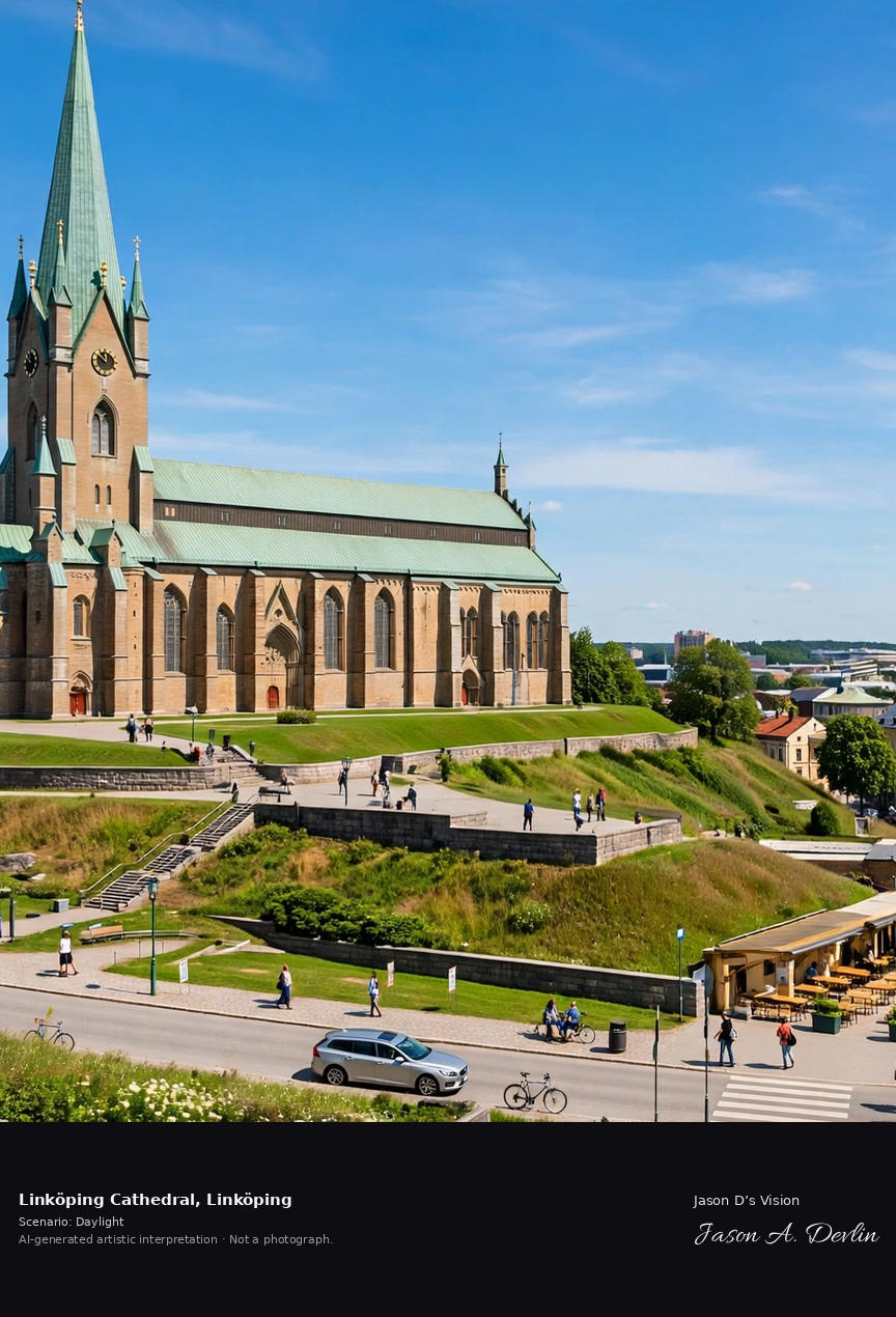
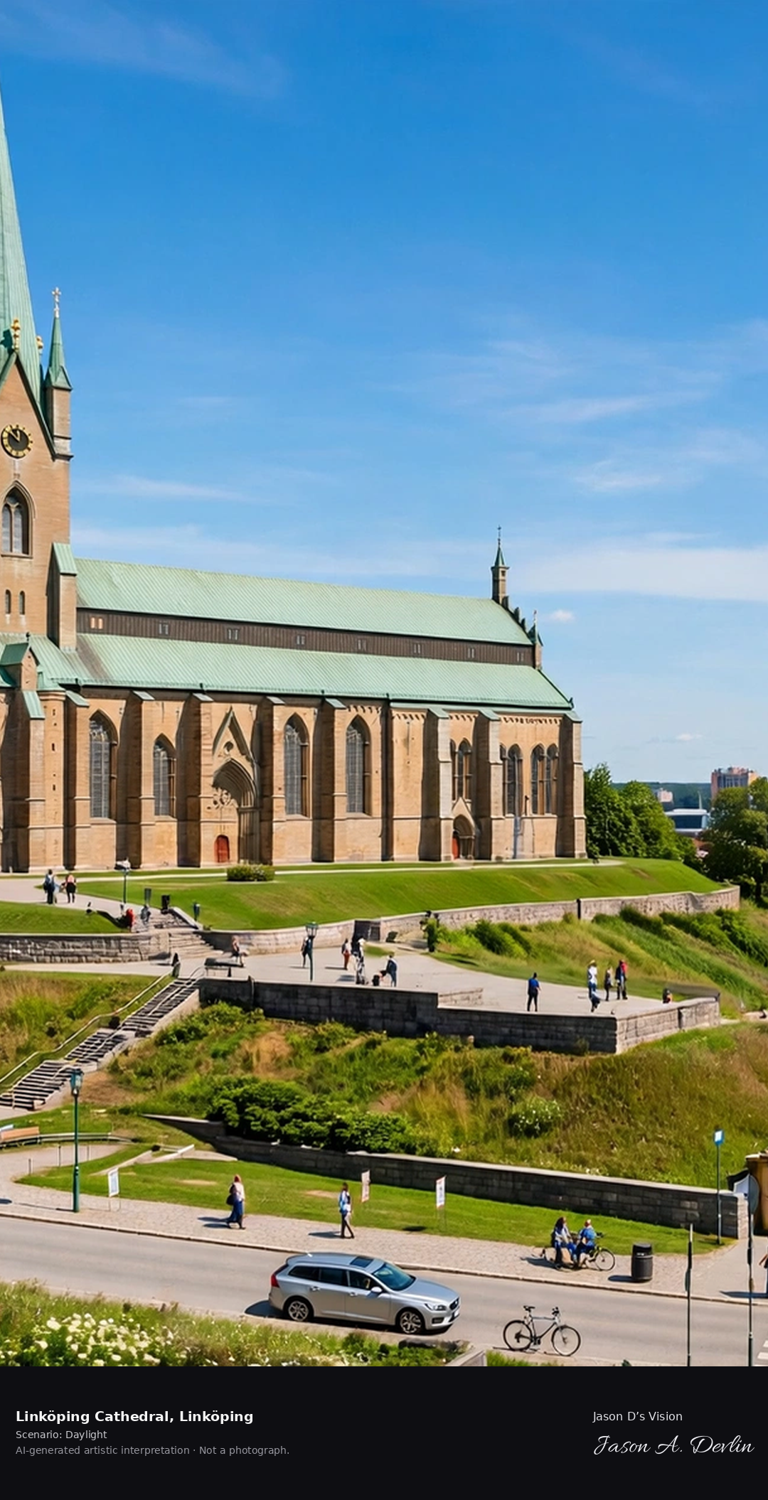
Linköping Cathedral's 107-meter tower above the Stångån river, the Gothic cathedral with its distinctive green copper spire and the old town's wooden houses below.
Bright daylight over Linköping Cathedral — the Gothic cathedral with its 107-meter tower and distinctive green copper spire above the Stångån river, the old town's colorful wooden houses along the riverfront below.
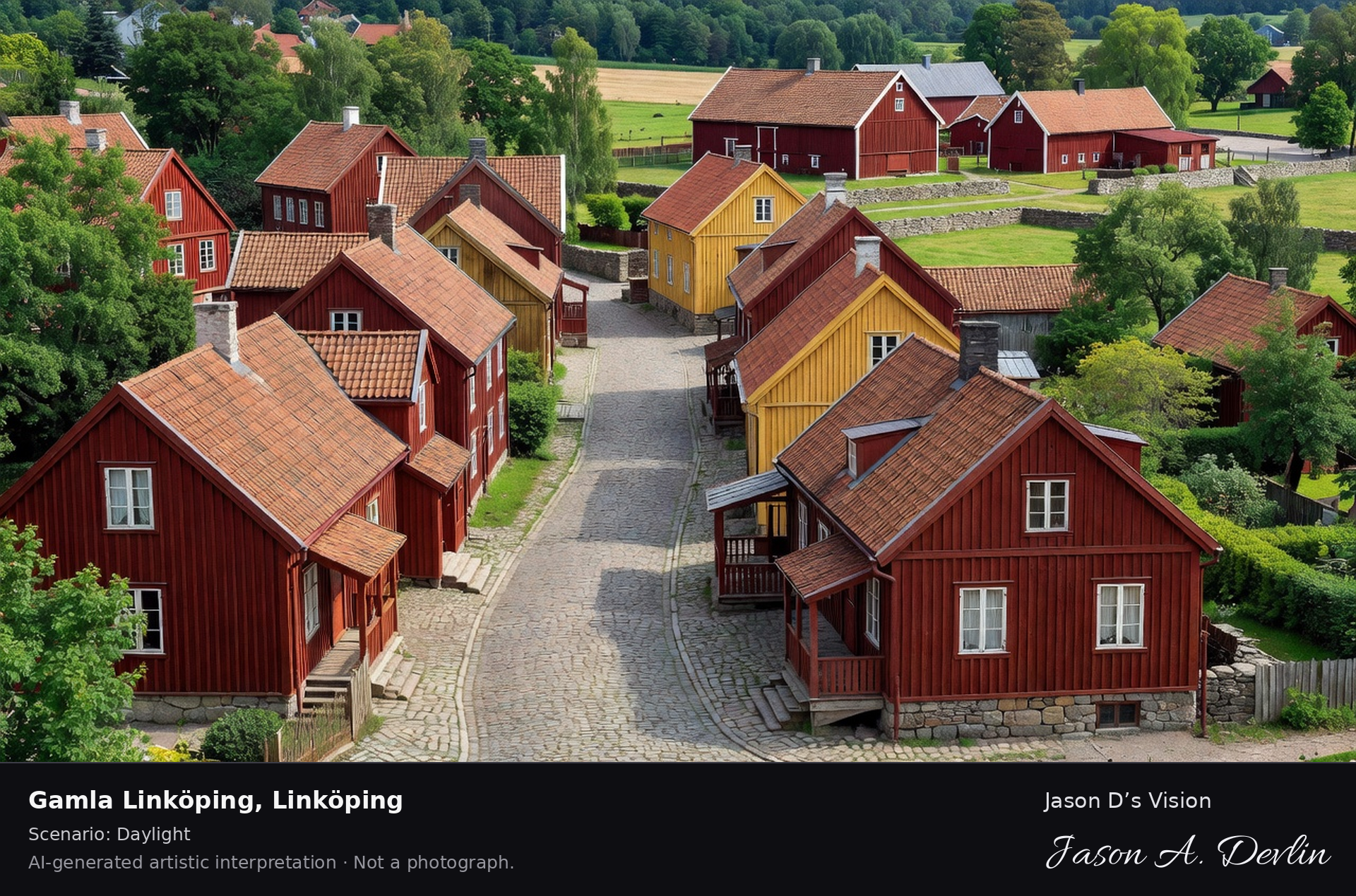
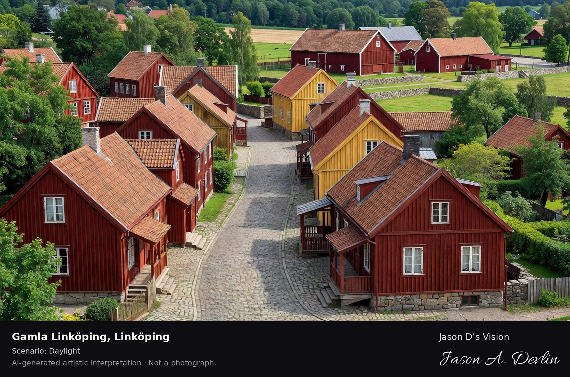
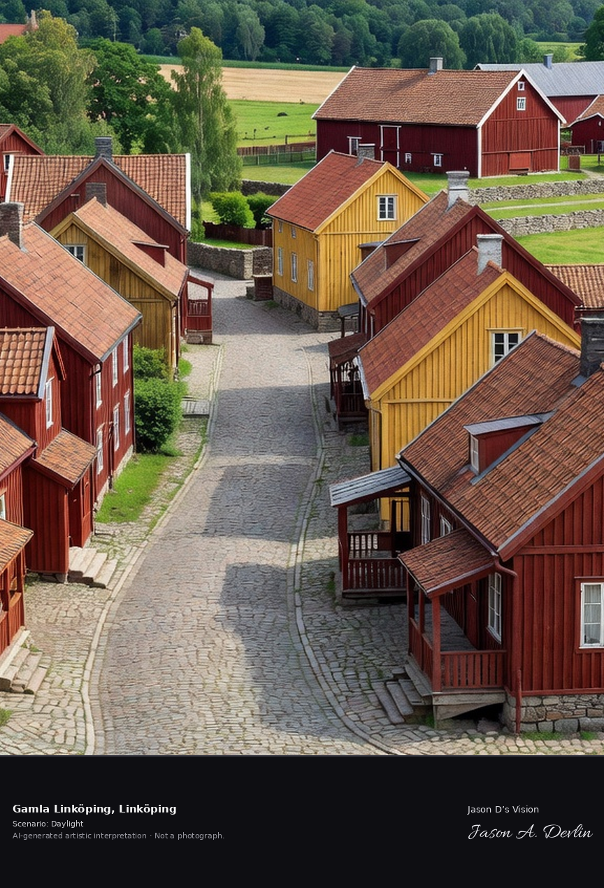
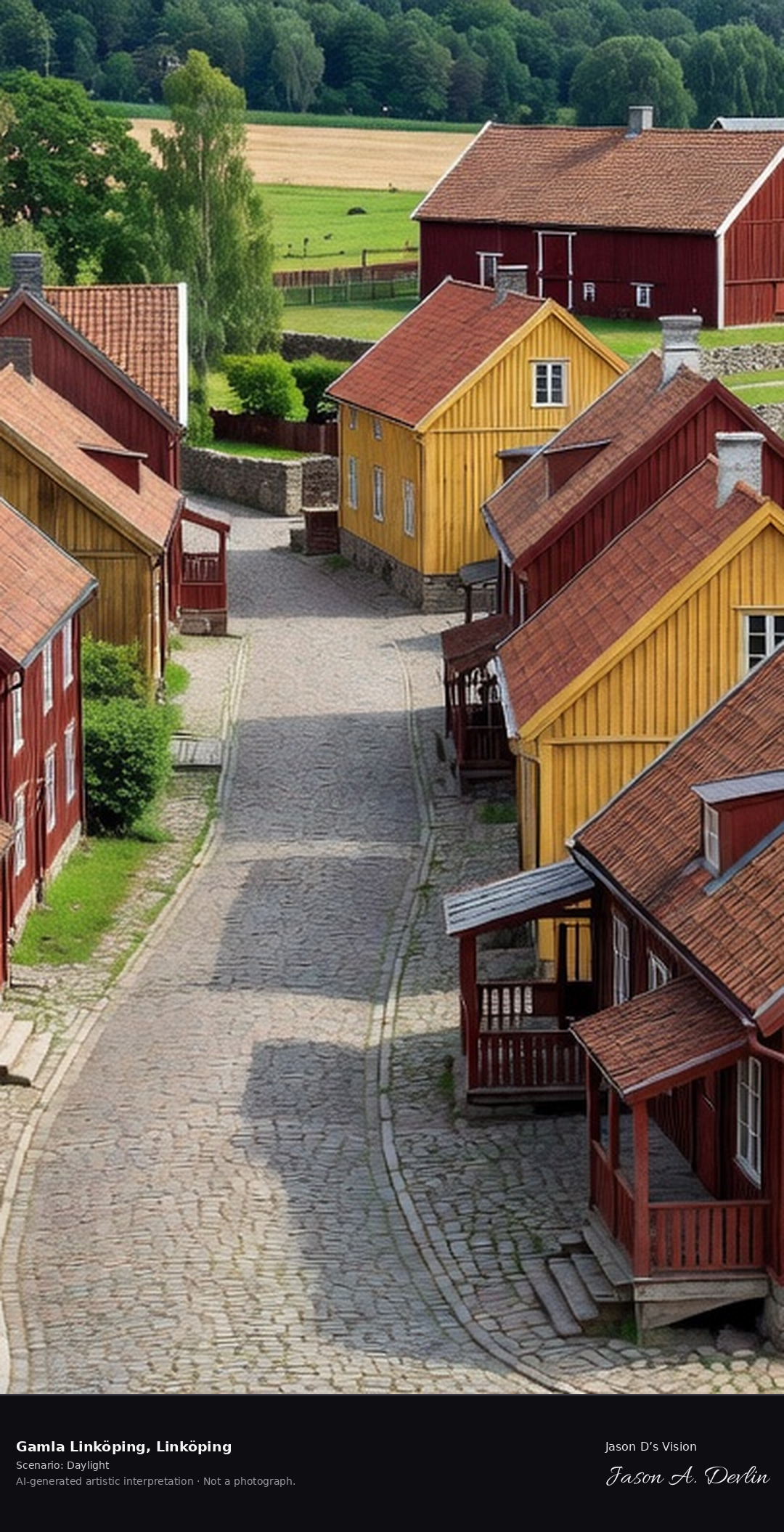
Gamla Linköping's open-air museum streets, 19th-century wooden town houses and cobbled lanes with the Valla farm behind, preserving the old Linköping townscape.
Bright daylight over Gamla Linköping — the open-air museum streets of 19th-century Falu-red and ochre wooden town houses along cobbled lanes, the Valla farm fields and trees behind.
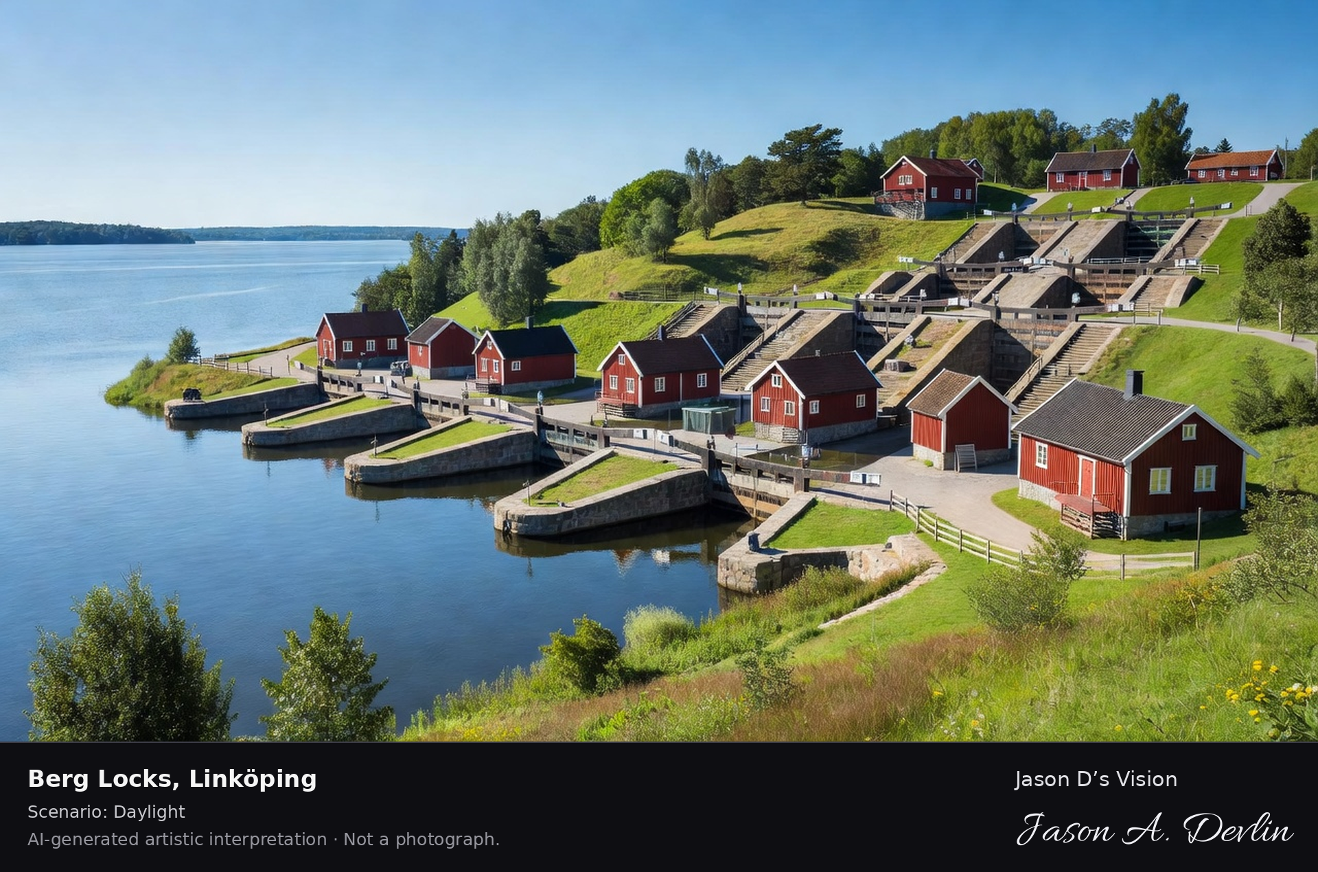
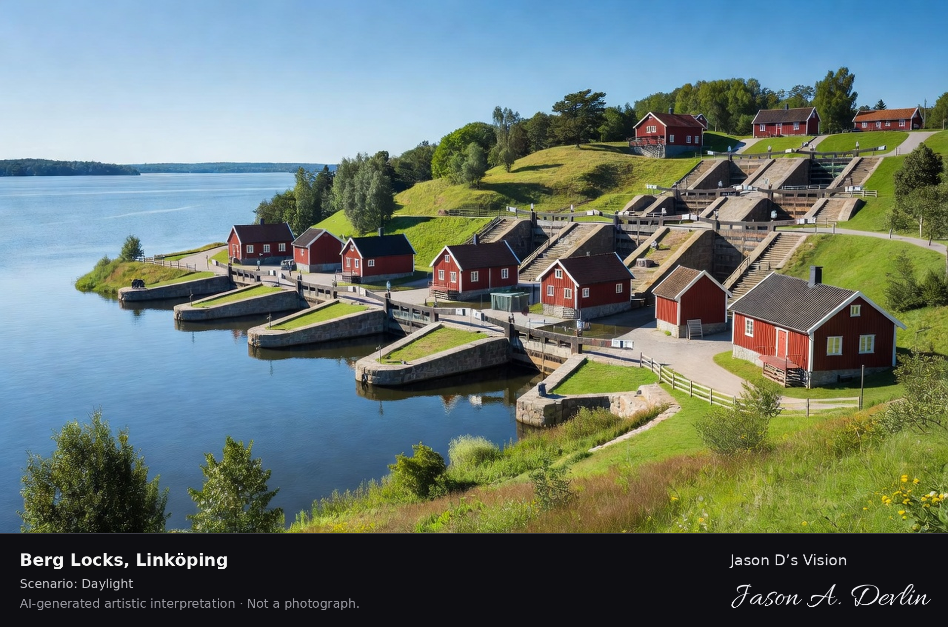
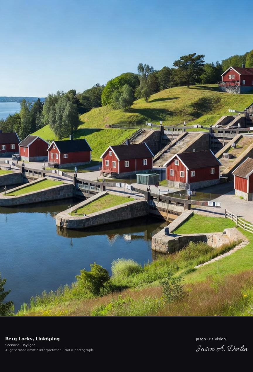
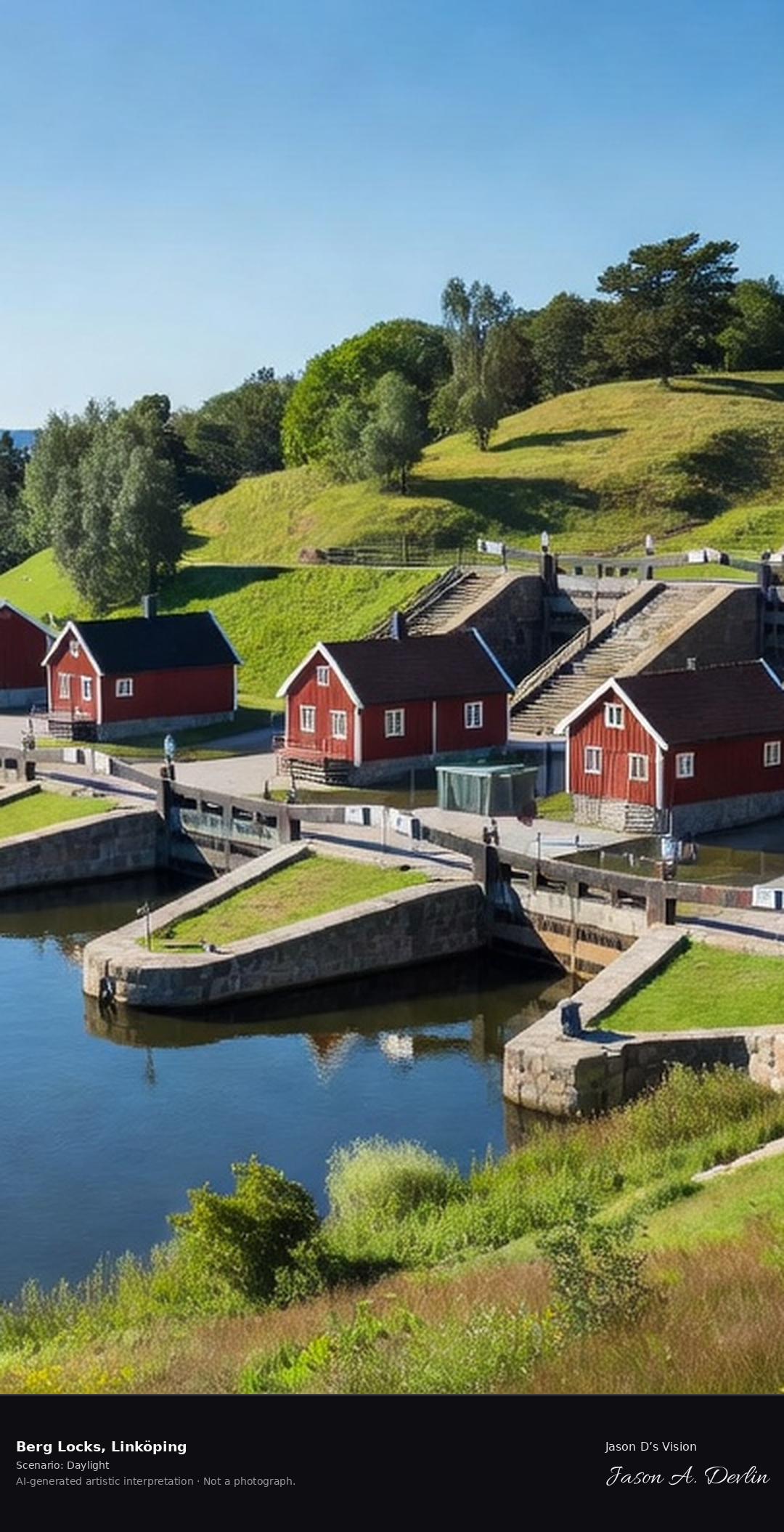
The Berg lock staircase on the Göta Canal, seven locks climbing the hill with the historic lock-keeper's cottages and Lake Roxen below. Sweden's greatest canal engineering.
Bright daylight over Berg Locks — the seven-lock staircase climbing the grassy hill on the Göta Canal, historic Falu-red lock-keeper's cottages and Lake Roxen below.
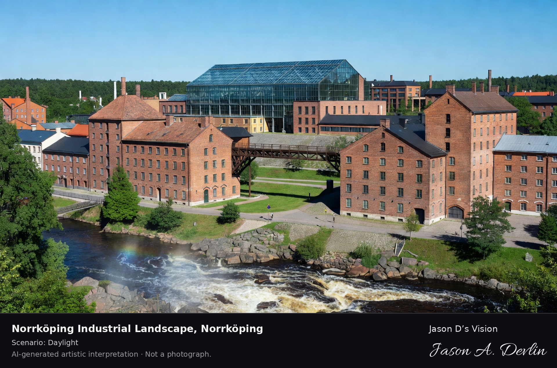
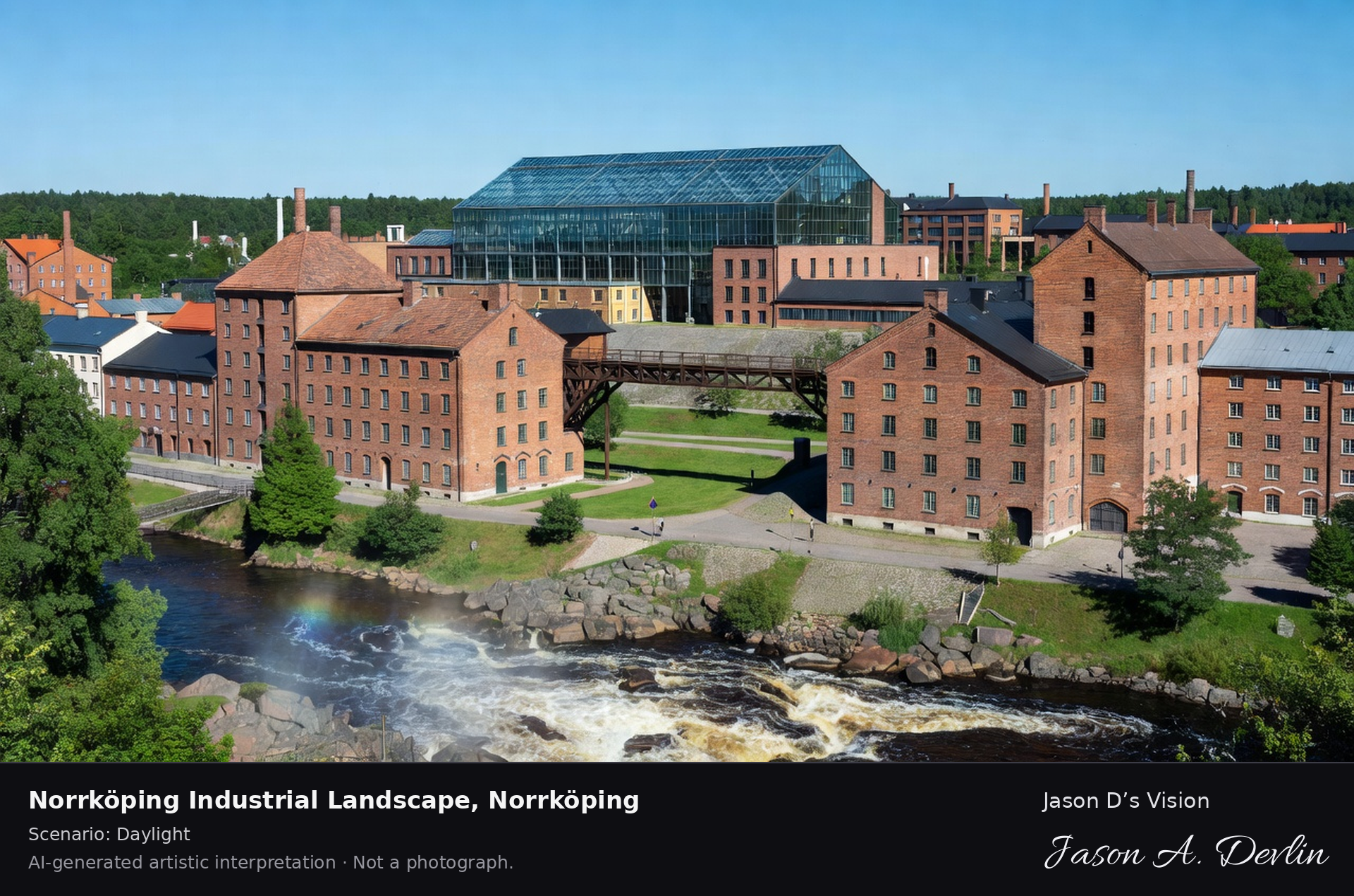
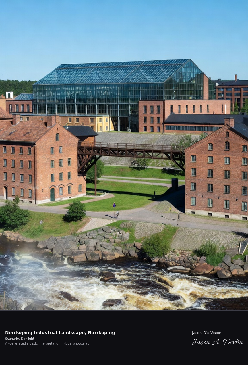
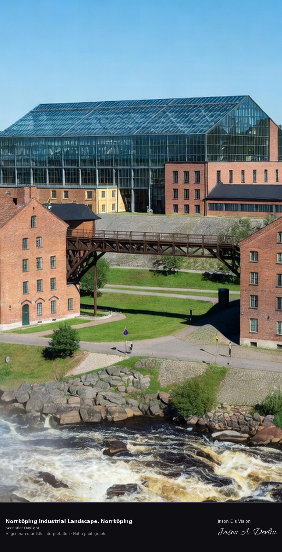
Norrköping's Industrilandskapet, the 19th-century textile mills along the Motala ström rapids with the Louis De Geer concert hall, Sweden's most complete industrial cityscape.
Bright daylight over Norrköping's Industrilandskapet — 19th-century red-brick textile mills lining the Motala ström rapids with the glass-roofed Louis De Geer concert hall.
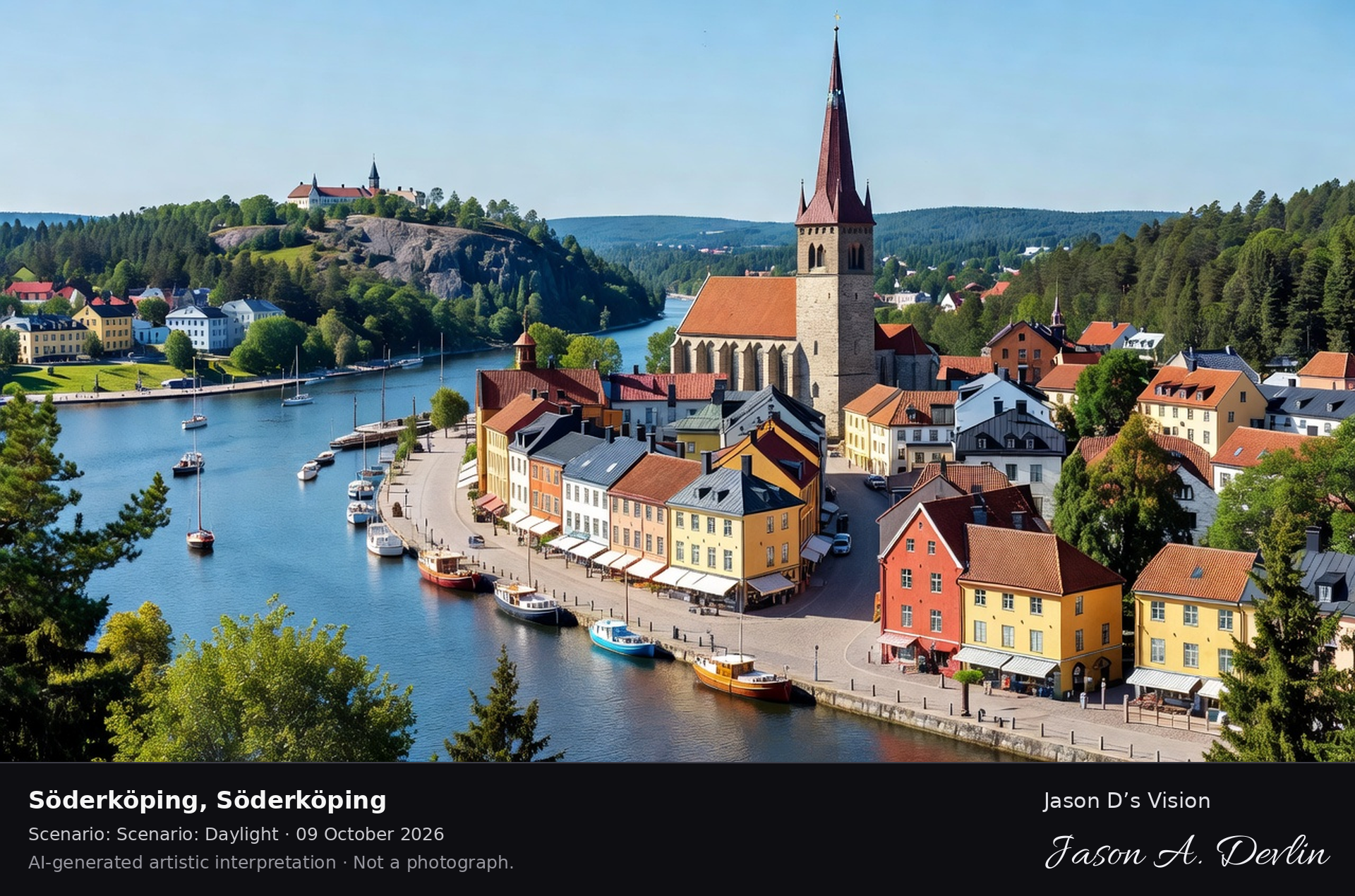
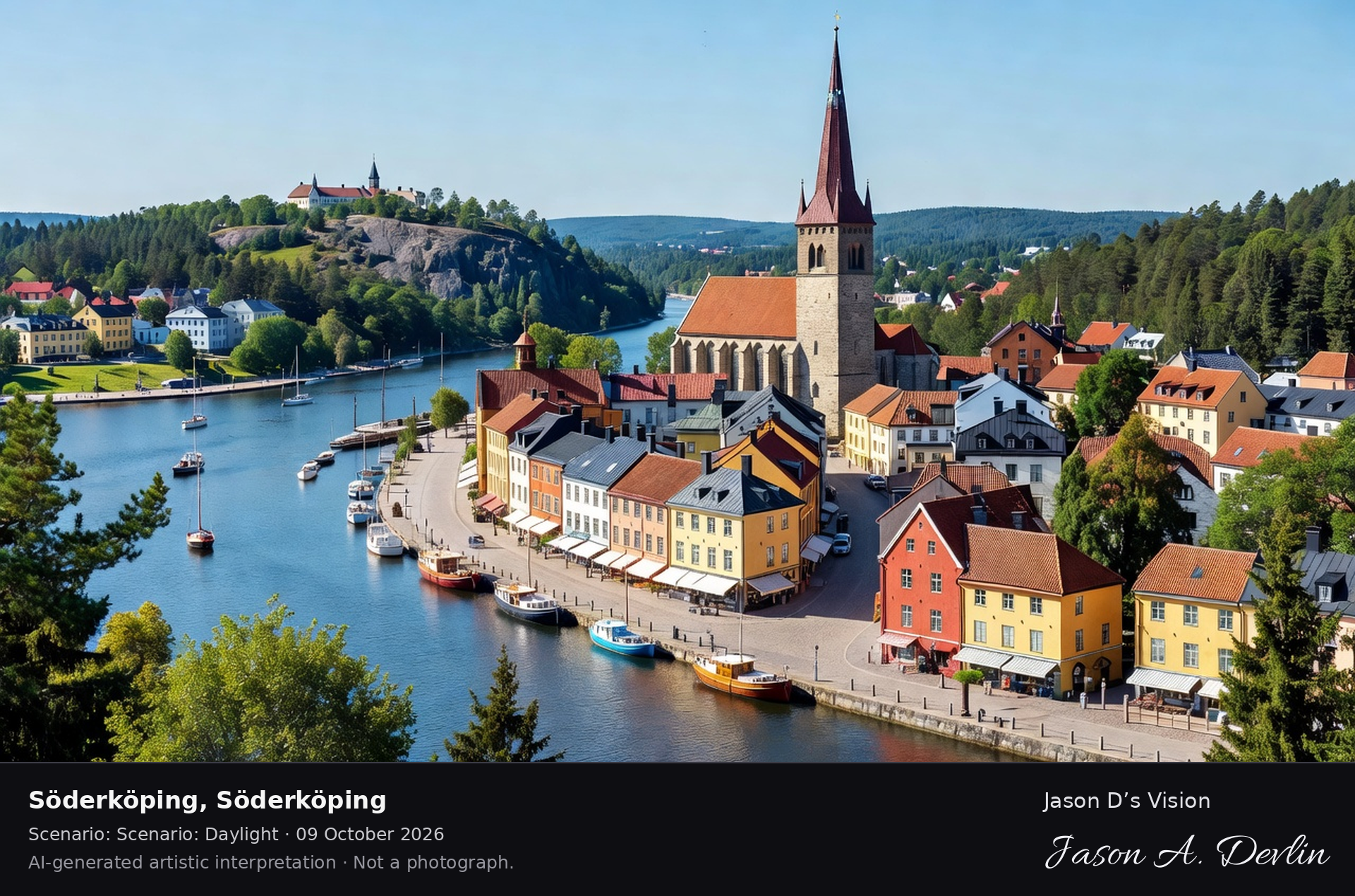
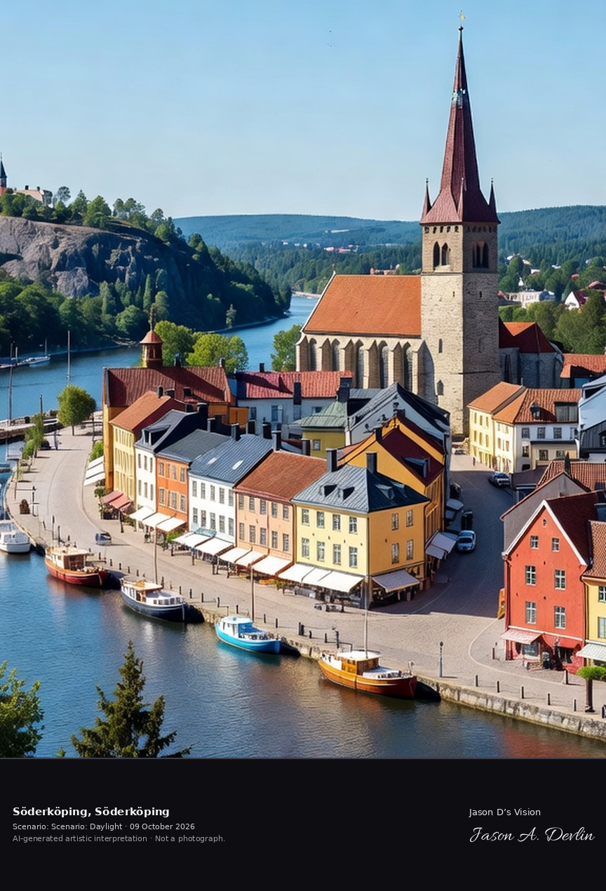
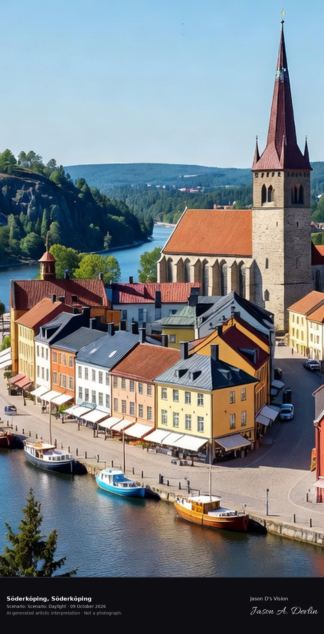
Söderköping's medieval town center with St. Lawrence church and the Göta Canal harbor, the historic meeting town with its ice cream-famous main street and the Ramunderberget viewpoint.
From the elevated classic viewpoint above Söderköping, the view sweeps across the Göta Canal harbor to the medieval town center: St. Lawrence church's tall spire dominating the rooftops, the canal curving through the foreground with boats moored along the stone quay, and the ice-cream-famous main street's colorful housefronts packed shoulder to shoulder. Behind the town rises the rocky, forested ridge of Ramunderberget. A bright summer-day panorama of Östergötland's meeting town, rendered in honest natural daylight.
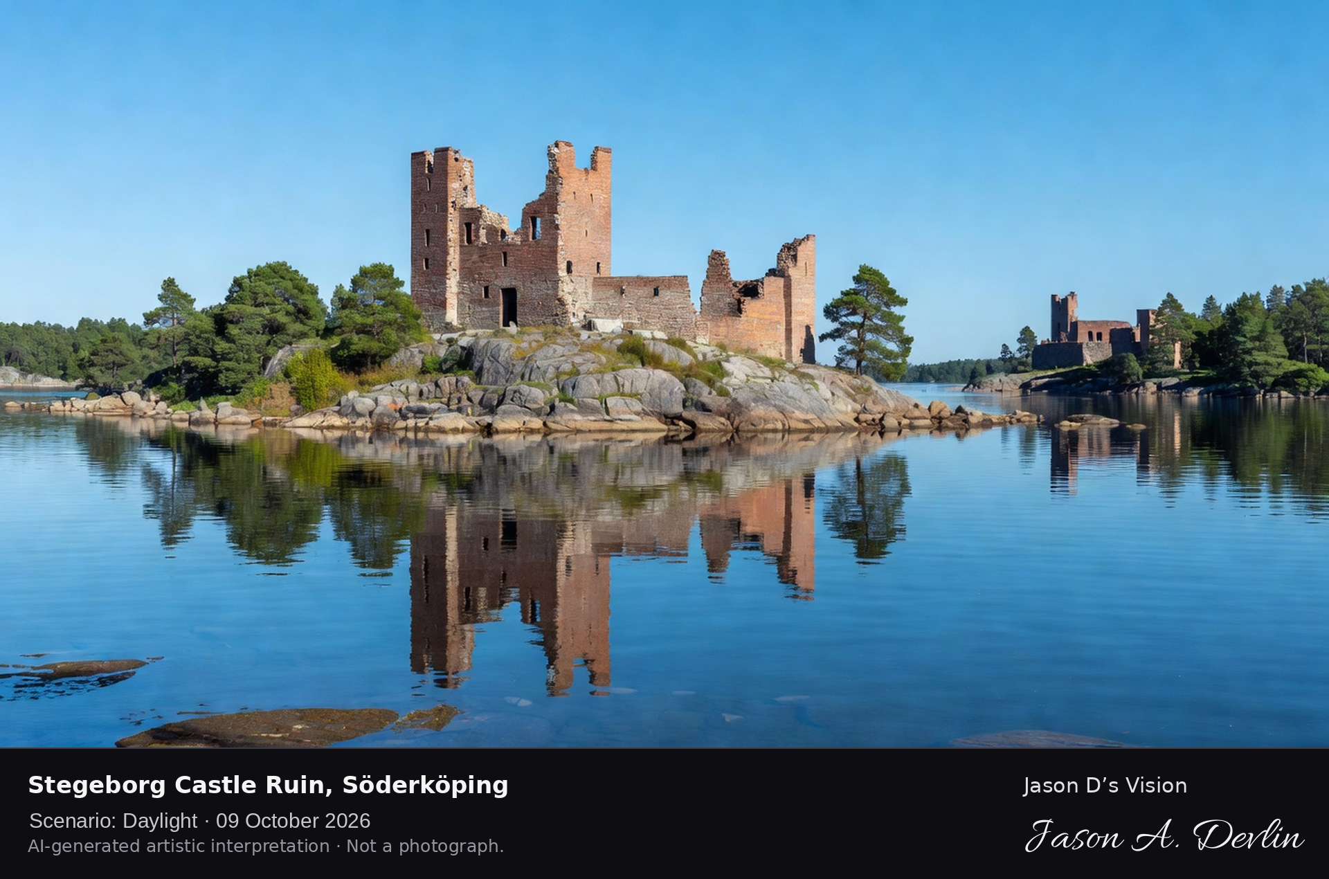
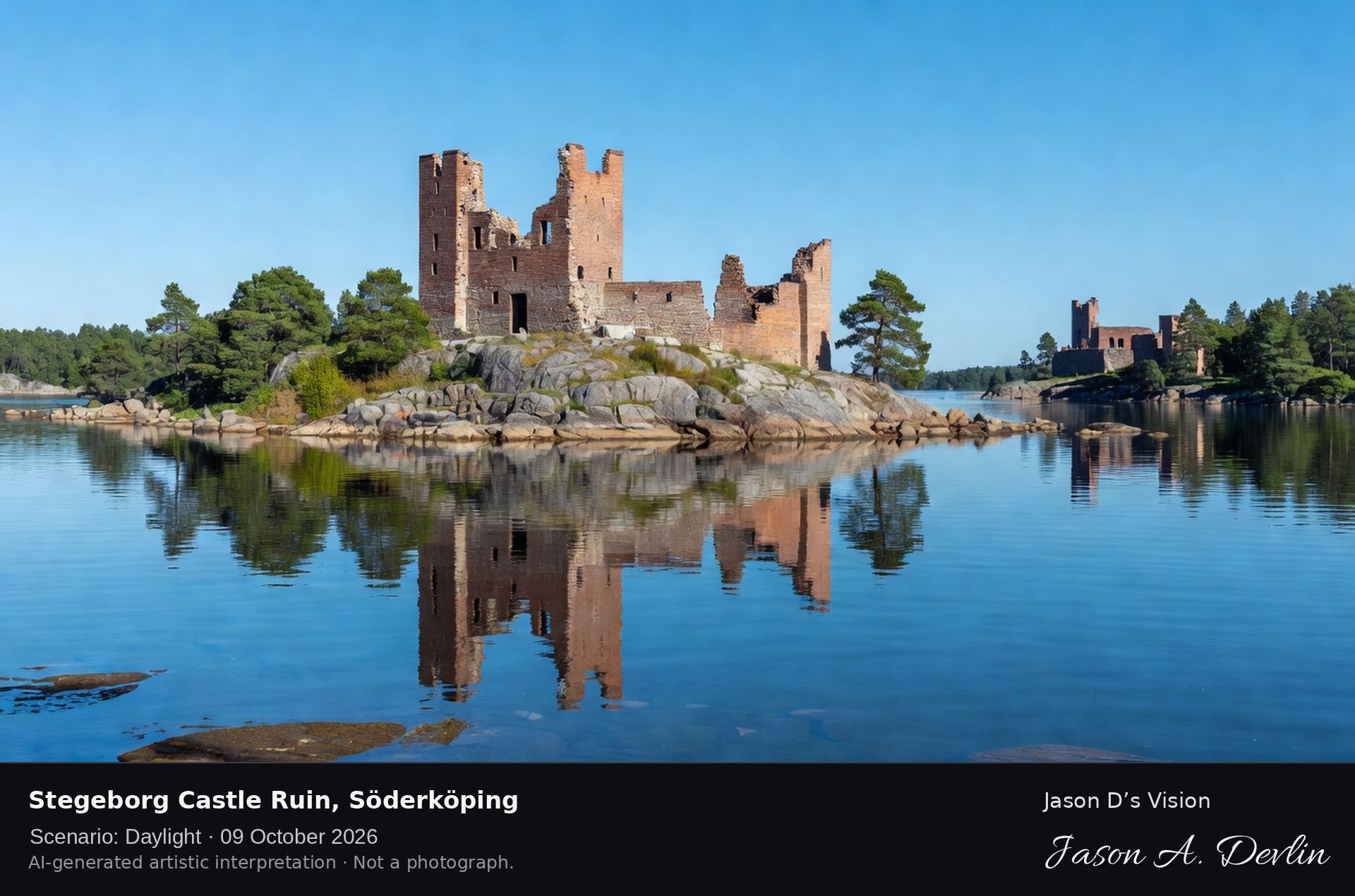
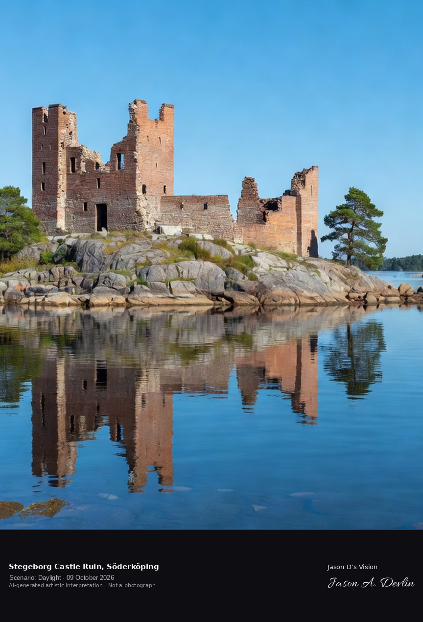
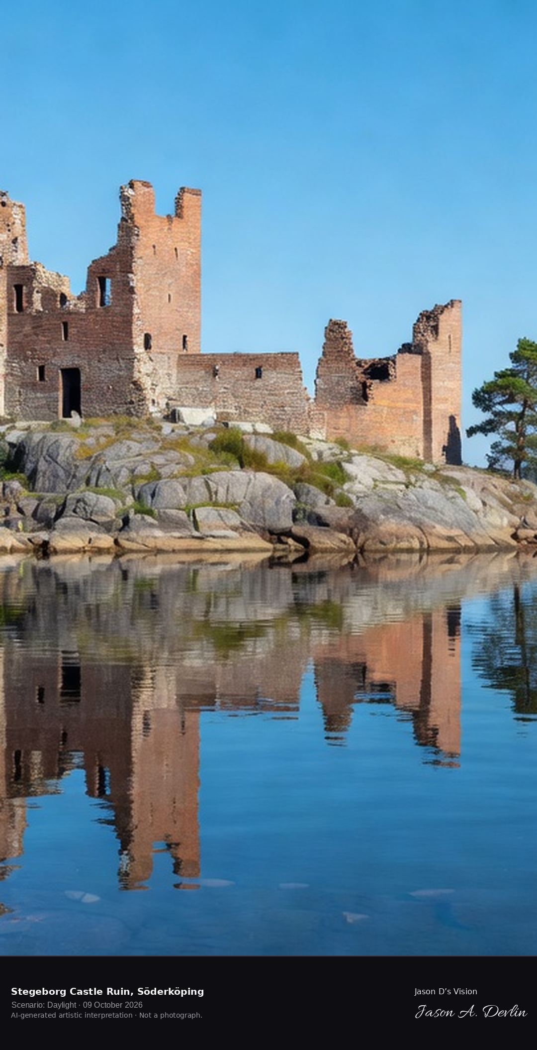
Stegeborg's castle ruins on the island in Slätbaken bay, the medieval fortress where the Folkungas held court, brick towers reflected in the Baltic inlet.
Across the glassy water of Slätbaken bay, the brick towers of Stegeborg's medieval castle ruin rise from a rocky islet, their crumbled walls doubled in the mirror of the Baltic inlet. The Folkunga-era fortress stands as a brick shell against a clear blue sky, with a second ruin block on the far shore and pine-covered skerries on the horizon. A bright daylight study of Östergötland's most evocative medieval ruin, rendered in honest natural light.
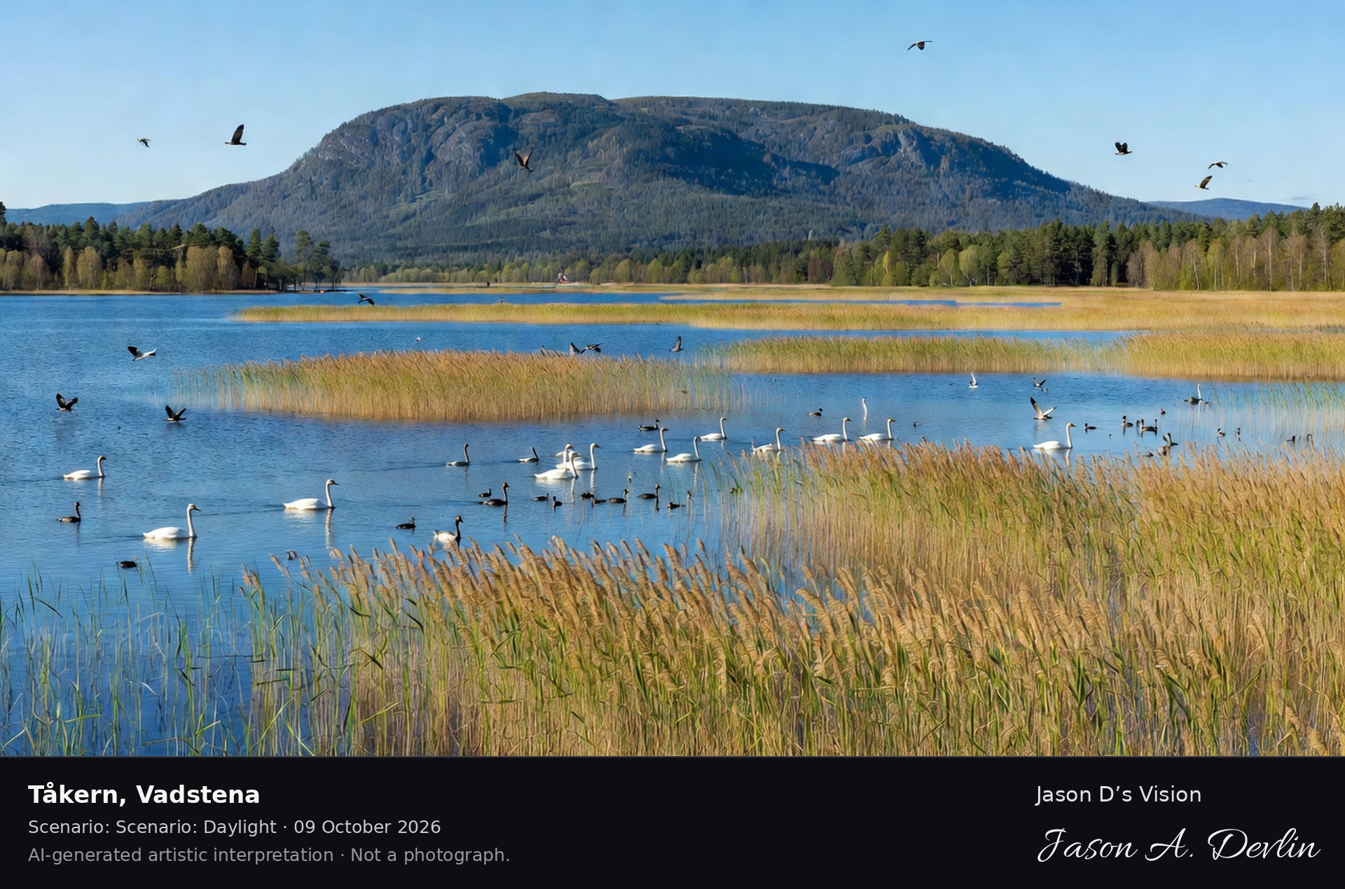
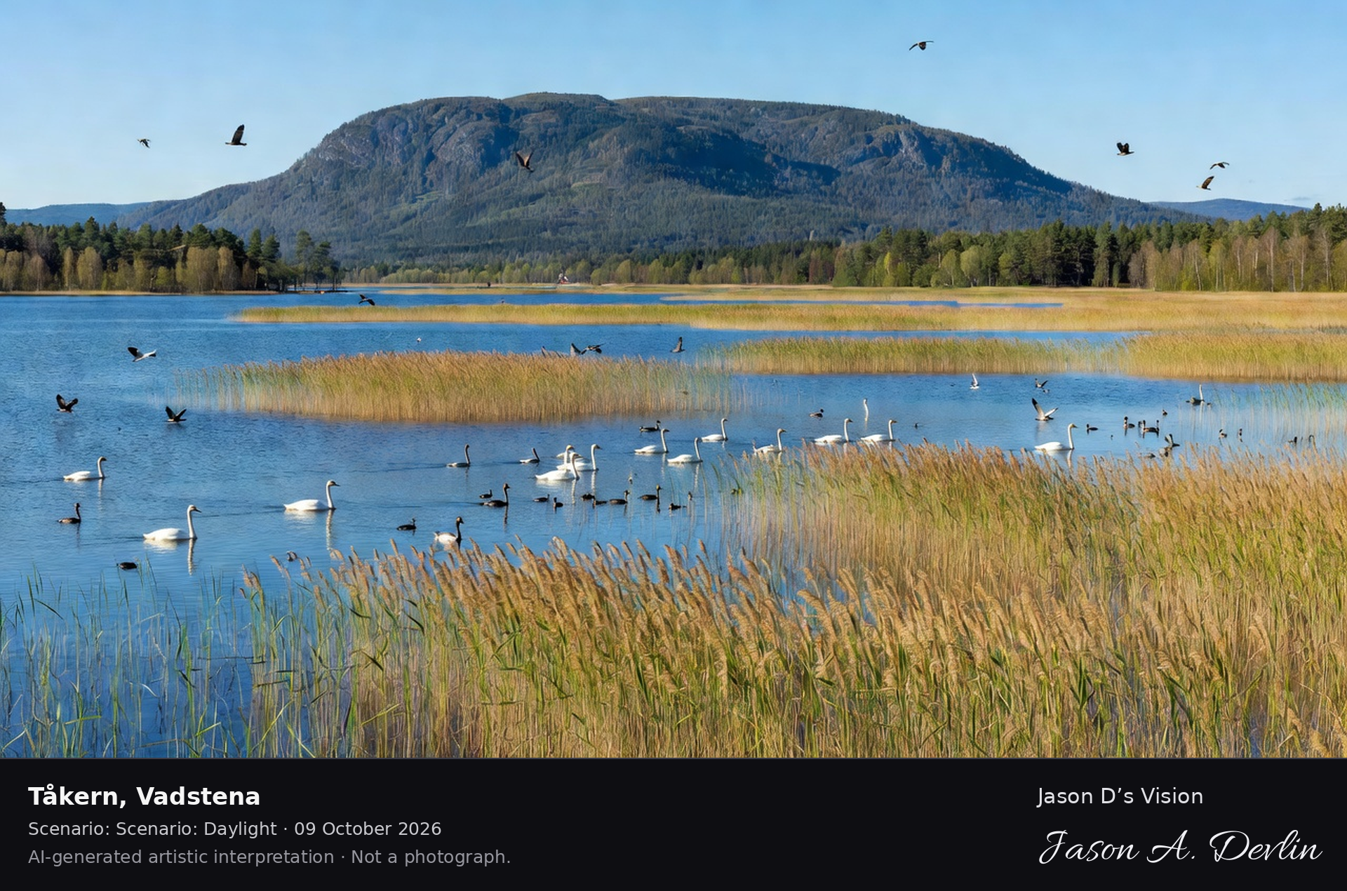
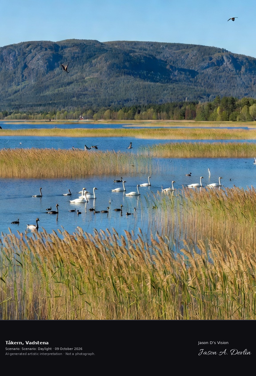
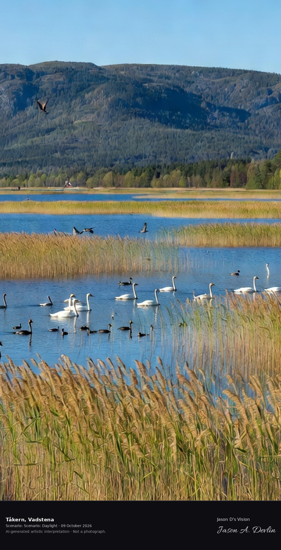
Lake Tåkern's vast reed beds, one of Europe's premier bird lakes with its rich birdlife and the Omberg mountain rising behind. A Ramsar wetland of international importance.
From the lakeside viewpoint at Tåkern, Sweden's famous bird lake, the calm blue water is dotted with white swans, ducks and grebes, framed by golden reed beds in the foreground while birds wheel overhead. Behind the water rises the long, forest-covered ridge of Omberg mountain against a clear sky. A bright summer-day wildlife panorama of Östergötland's nature reserve, rendered in honest natural daylight.
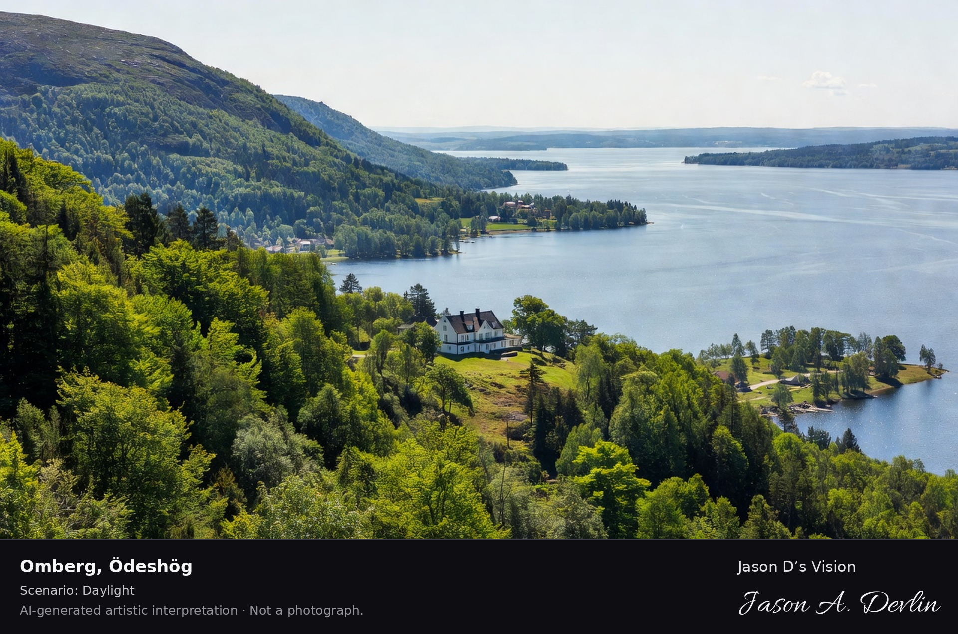
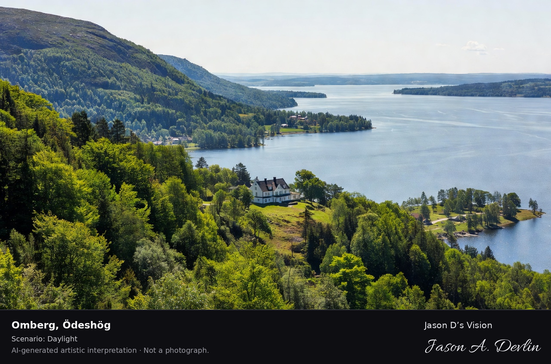
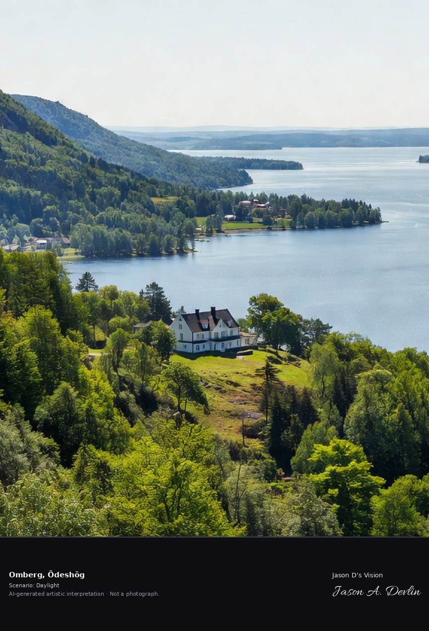
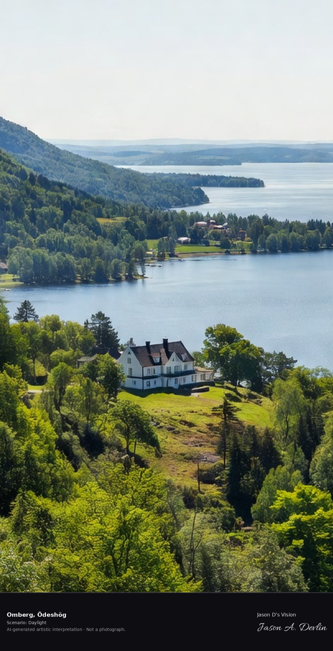
Omberg's beech forest slopes above Lake Vättern, the 'mountain' with its Ellen Key villa Strand and the panoramic view across the great lake from Hjässan.
From the Hjässan viewpoint on Omberg, Ödeshög, the beech-forest slopes of Östergötland's famous 'mountain by the lake' rise above the calm expanse of Lake Vättern. The white villa Strand, writer Ellen Key's villa, sits on the grassy slope above the shoreline, and the panoramic lake stretches to distant headlands under bright daylight — a classic Swedish summer landscape in honest natural light.
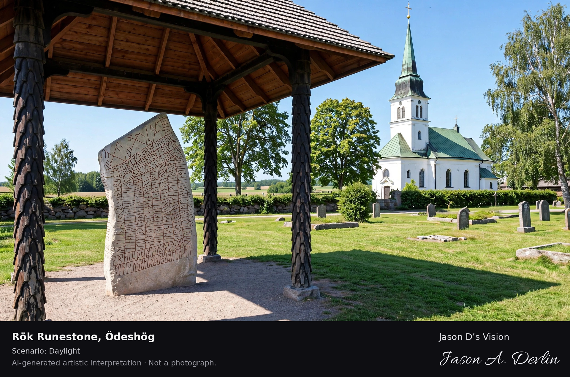
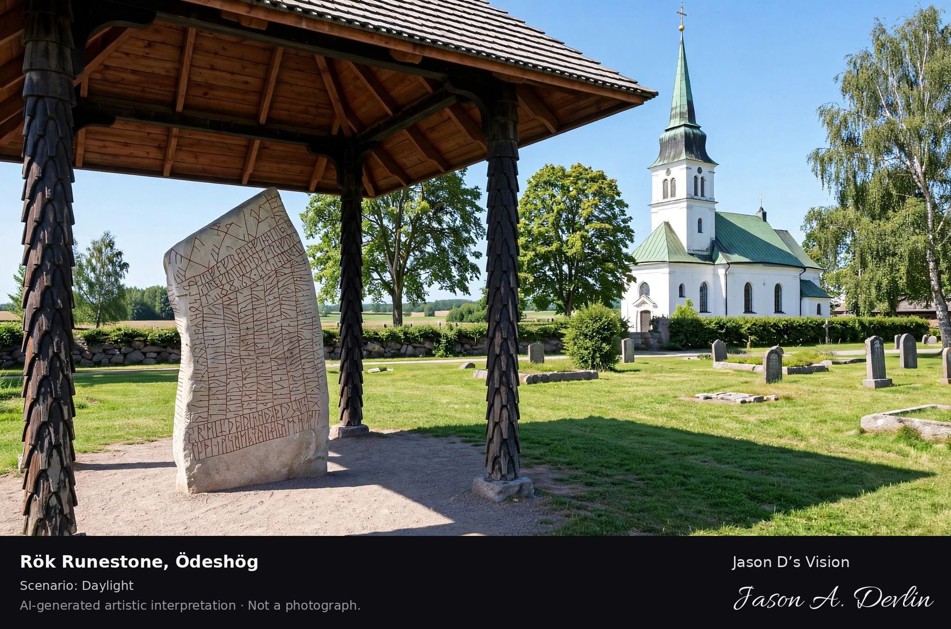
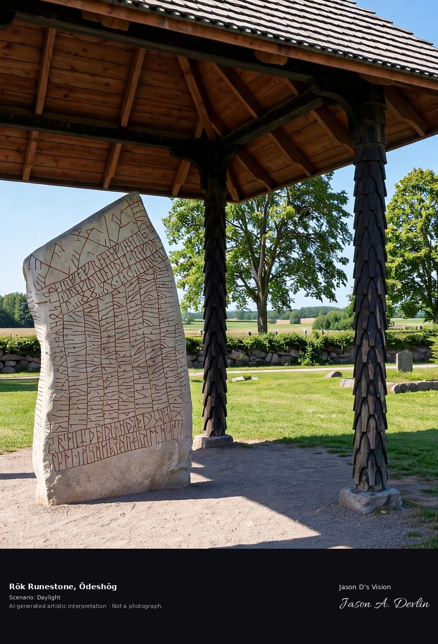
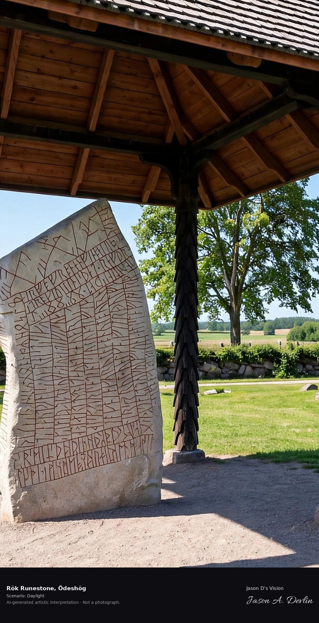
The Rök runestone, the world's most famous Viking-age runestone with its 760 characters of cryptic text, standing by the church in the Östergötland farmland.
At Rök churchyard in Ödeshög, the world's most famous Viking-age runestone stands carved with its cryptic 9th-century text, the medieval stone church rising behind it and golden rapeseed and wheat fields rolling to the treeline. A bright-daylight cultural-heritage panorama of Östergötland, rendered in honest natural light.
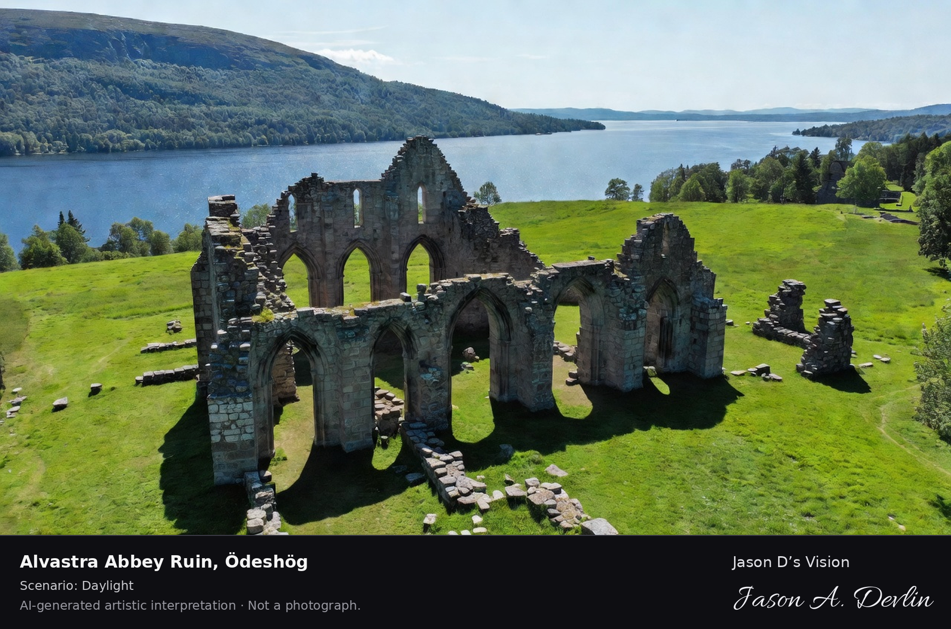
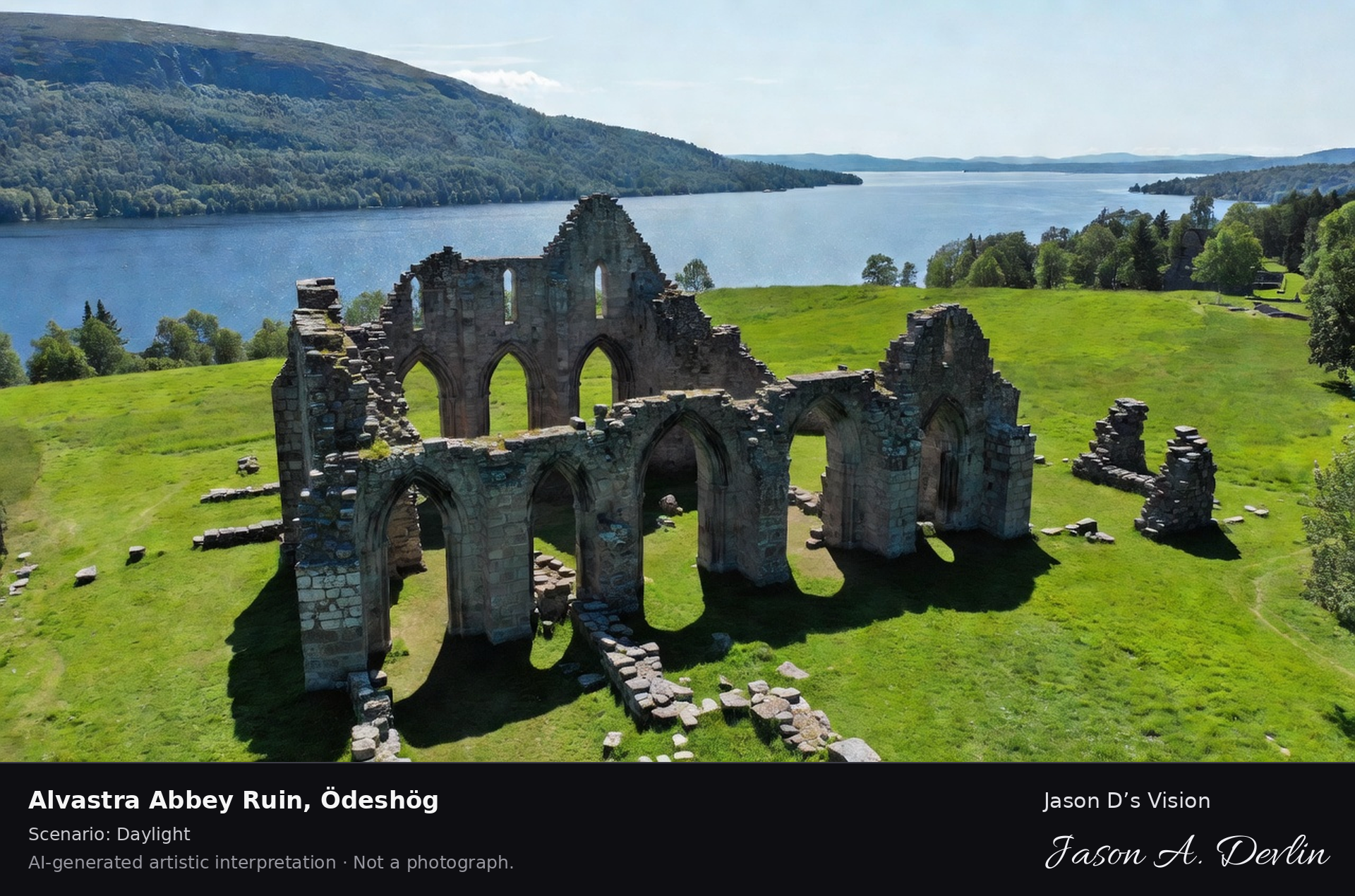
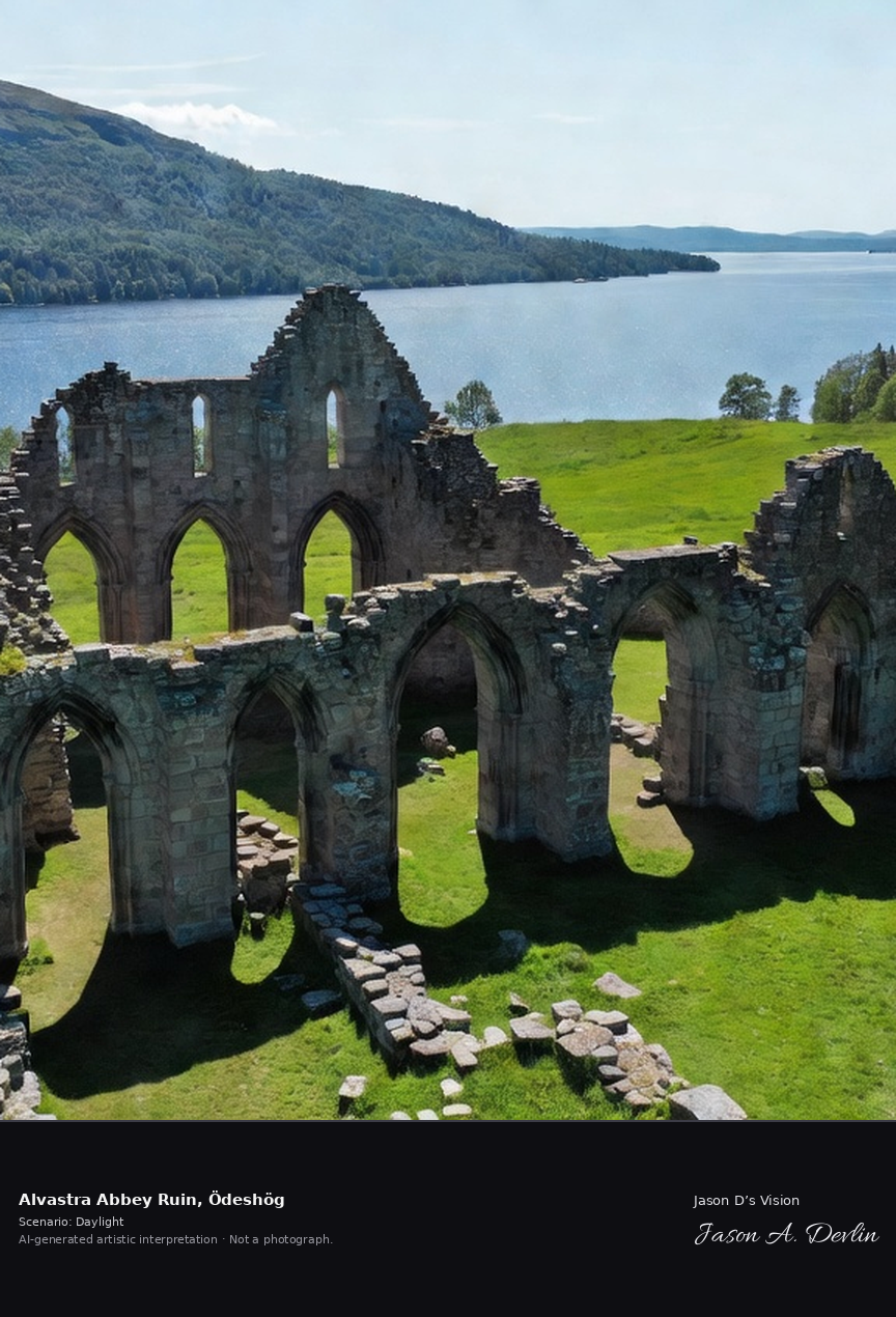
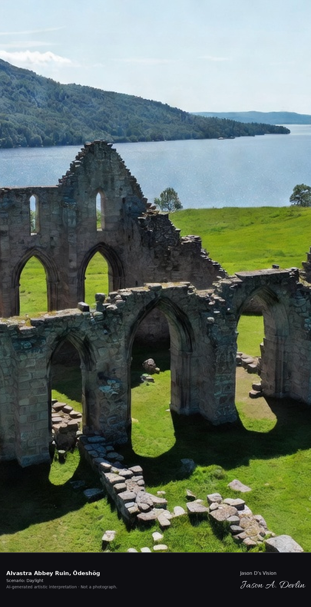
Alvastra Abbey's Cistercian ruins at Omberg's foot, Sweden's oldest monastery founded 1143, grey stone arches in the meadow by Lake Vättern with St. Bridget's memory.
Alvastra Abbey's grey stone Cistercian arches stand in green meadow at the foot of Omberg, Sweden's oldest monastery founded in 1143, with the forested mountain ridge rising behind and Lake Vättern glinting beyond. A bright-daylight heritage panorama of Östergötland, rendered in honest natural light.
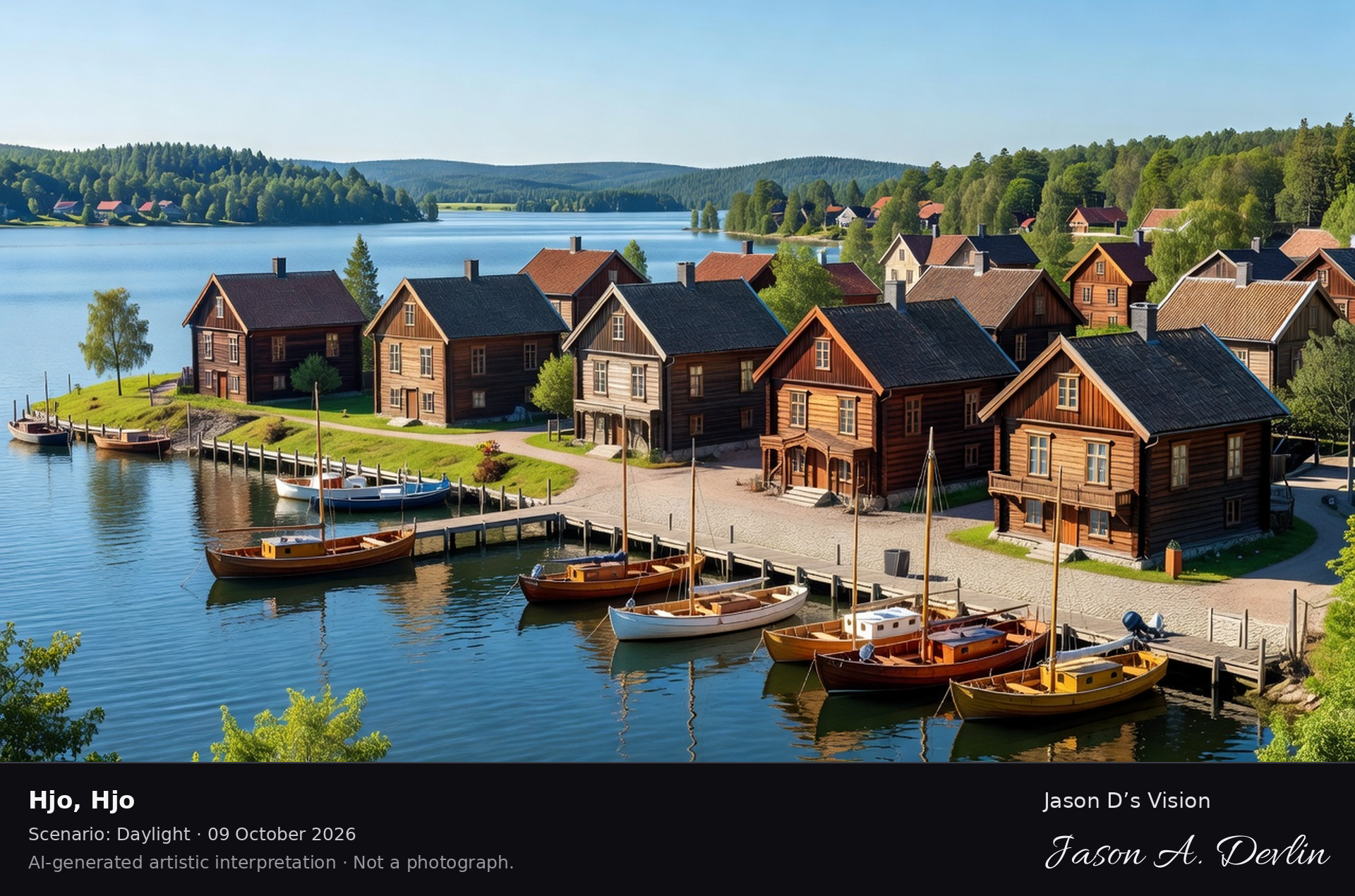
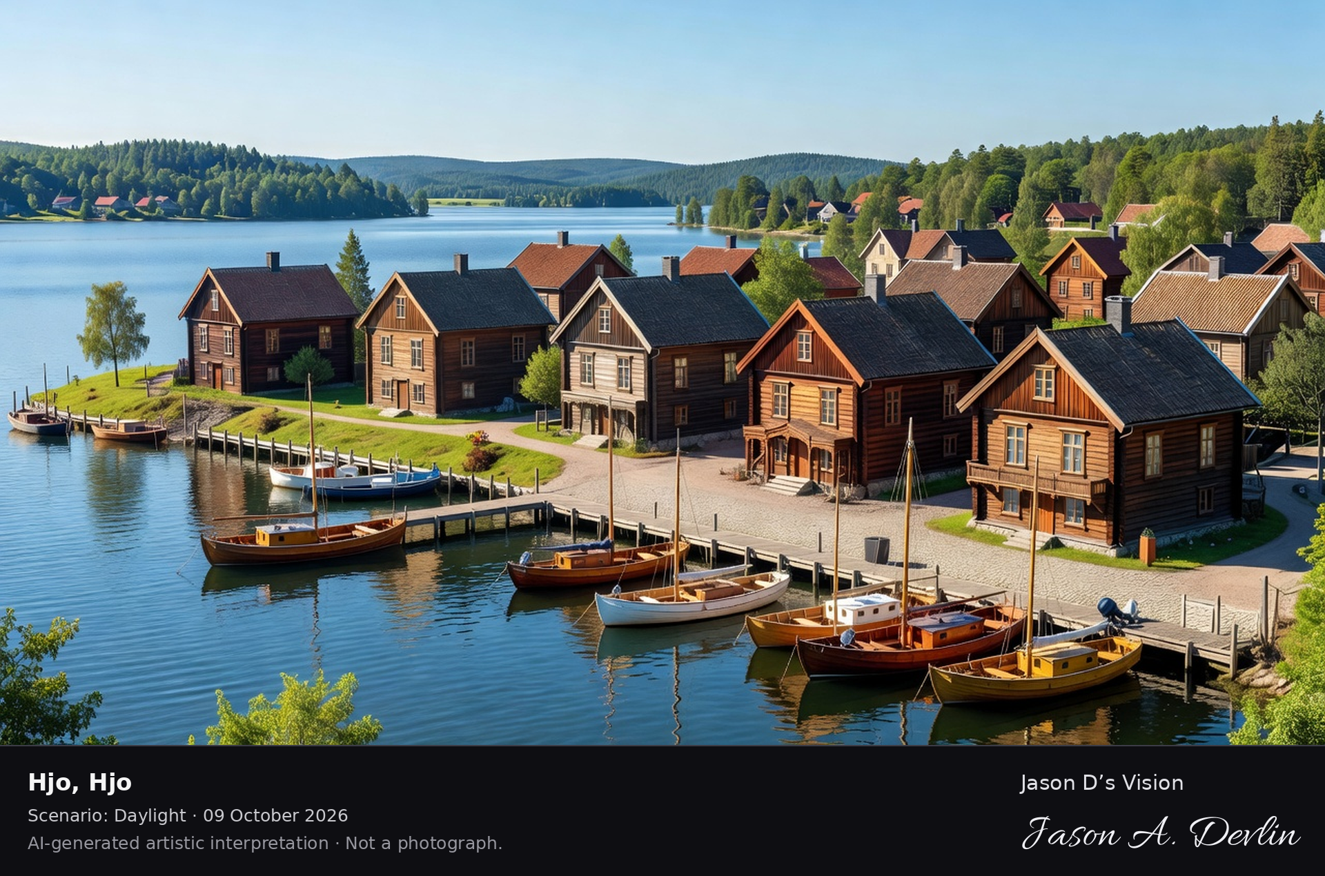
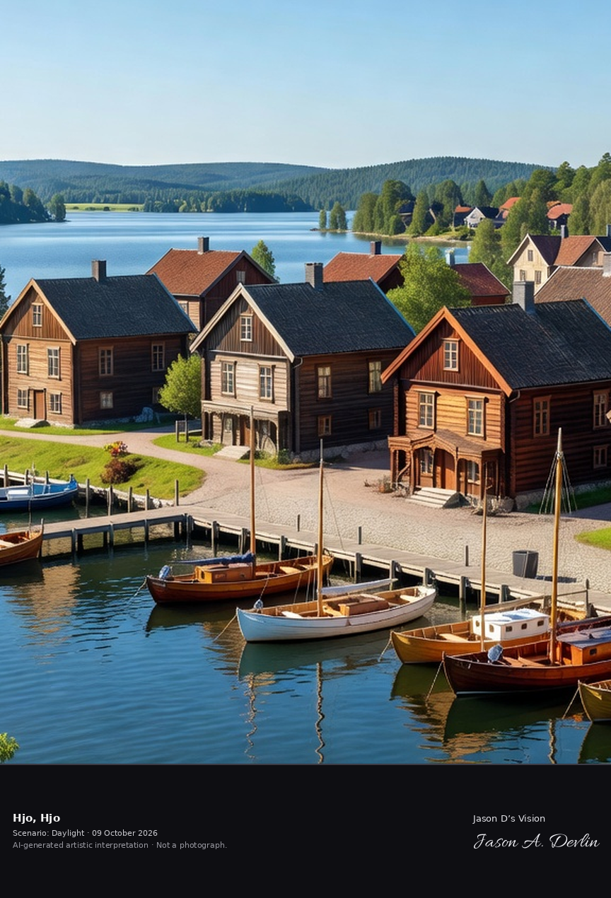
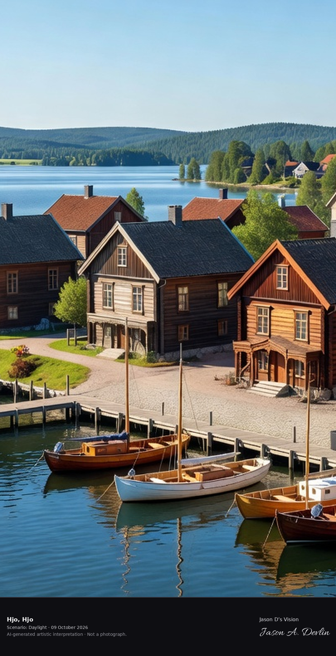
Hjo's wooden town on Lake Vättern's shore, the 'pearl of Vättern' with its 19th-century bathhouse villas and the harbor, one of Sweden's three wooden towns.
From an elevated viewpoint above Hjo's harbor the view runs across the water to Sweden's celebrated wooden town: rows of dark-timber gabled houses from the 19th century — one of Sweden's three wooden towns — descending to the shore of Lake Vattern, the 'pearl of Vattern' with its bathhouse villas. In the foreground sailboats in varnished wood, white and blue ride at their moorings along the wooden jetty, while across the broad lake a forested far shore rises under a clear sky — a timeless lakeside town rendered in bright natural daylight.
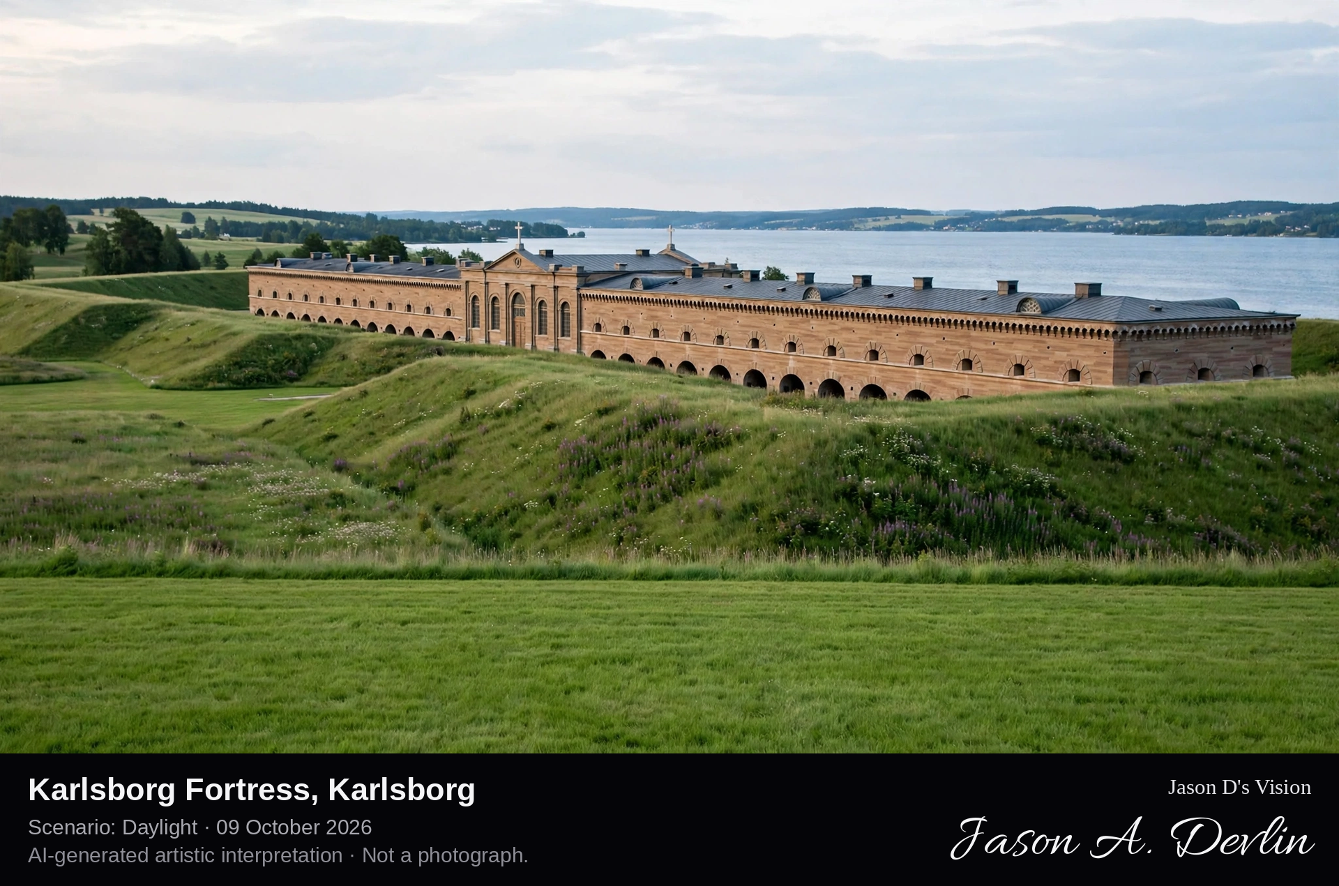
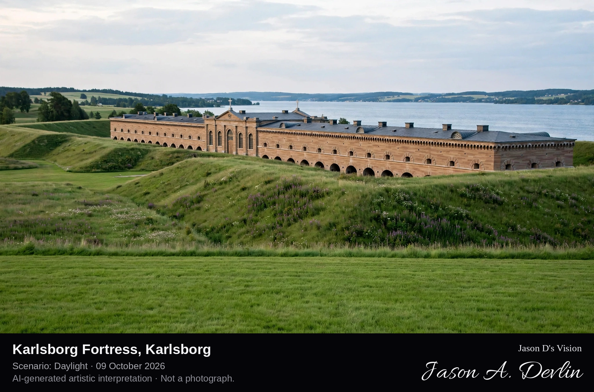
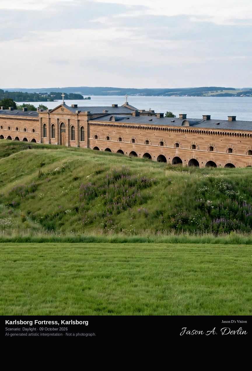
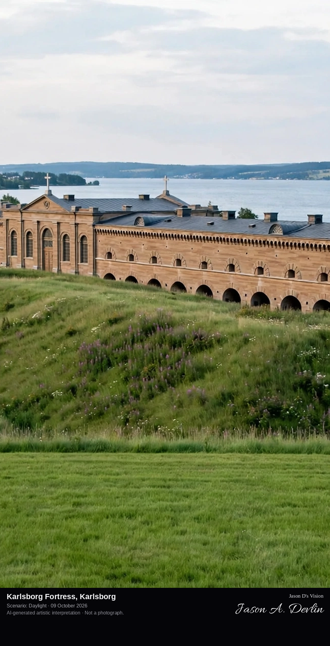
Karlsborg Fortress's vast 19th-century walls on the Vättern shore, Sweden's 'reserve capital' fortress with its church and the Göta Canal below the ramparts.
From an elevated viewpoint the view takes in Karlsborg Fortress, Sweden's 'reserve capital': vast 19th-century bastion walls of grey stone facing Lake Vattern, with the garrison church's tall slender spire rising above the ramparts. The Gota Canal runs below the fortress walls at right, and across the broad blue lake a forested far shore rises under a clear sky — one of Sweden's great fortress landscapes, rendered in bright natural daylight.
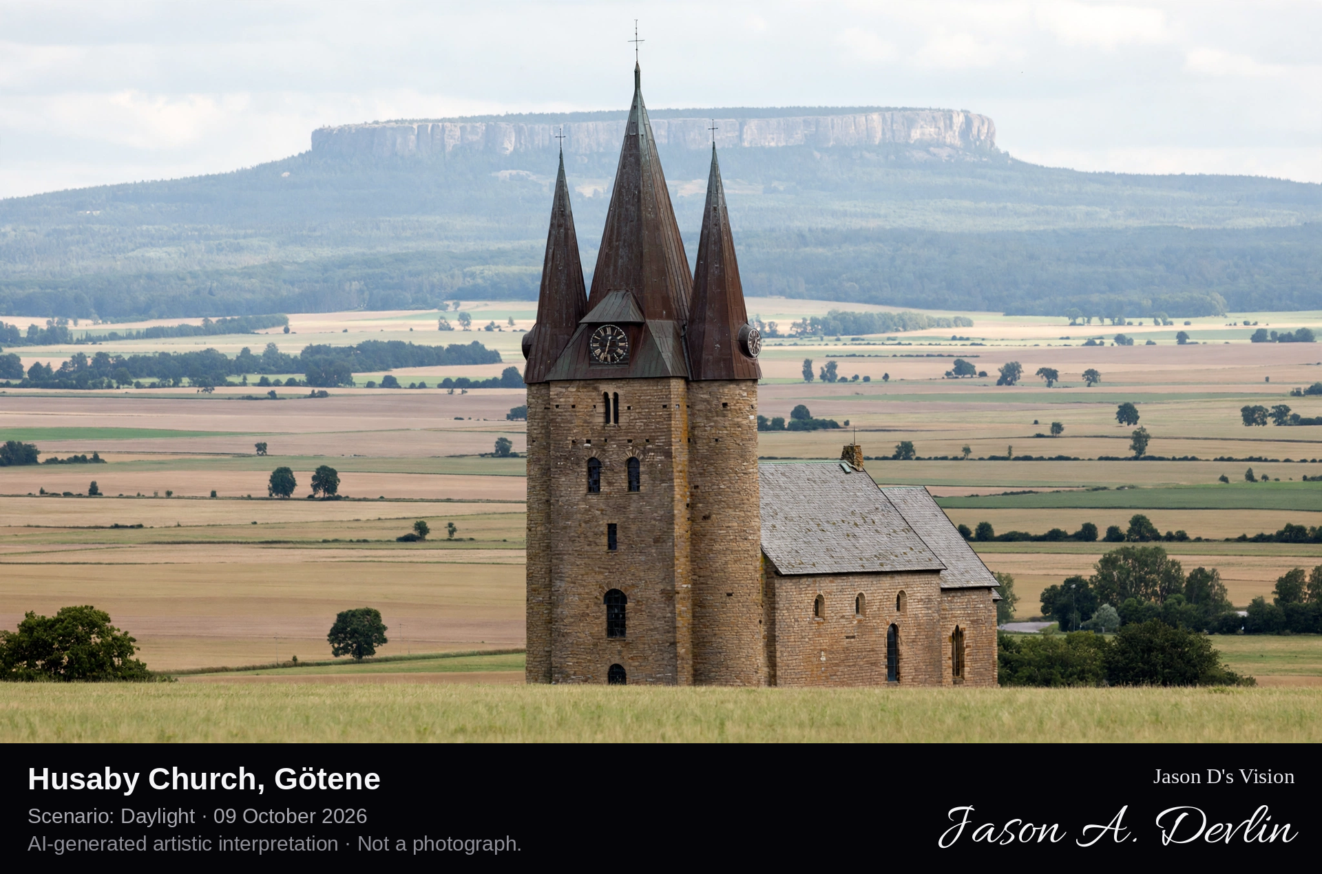
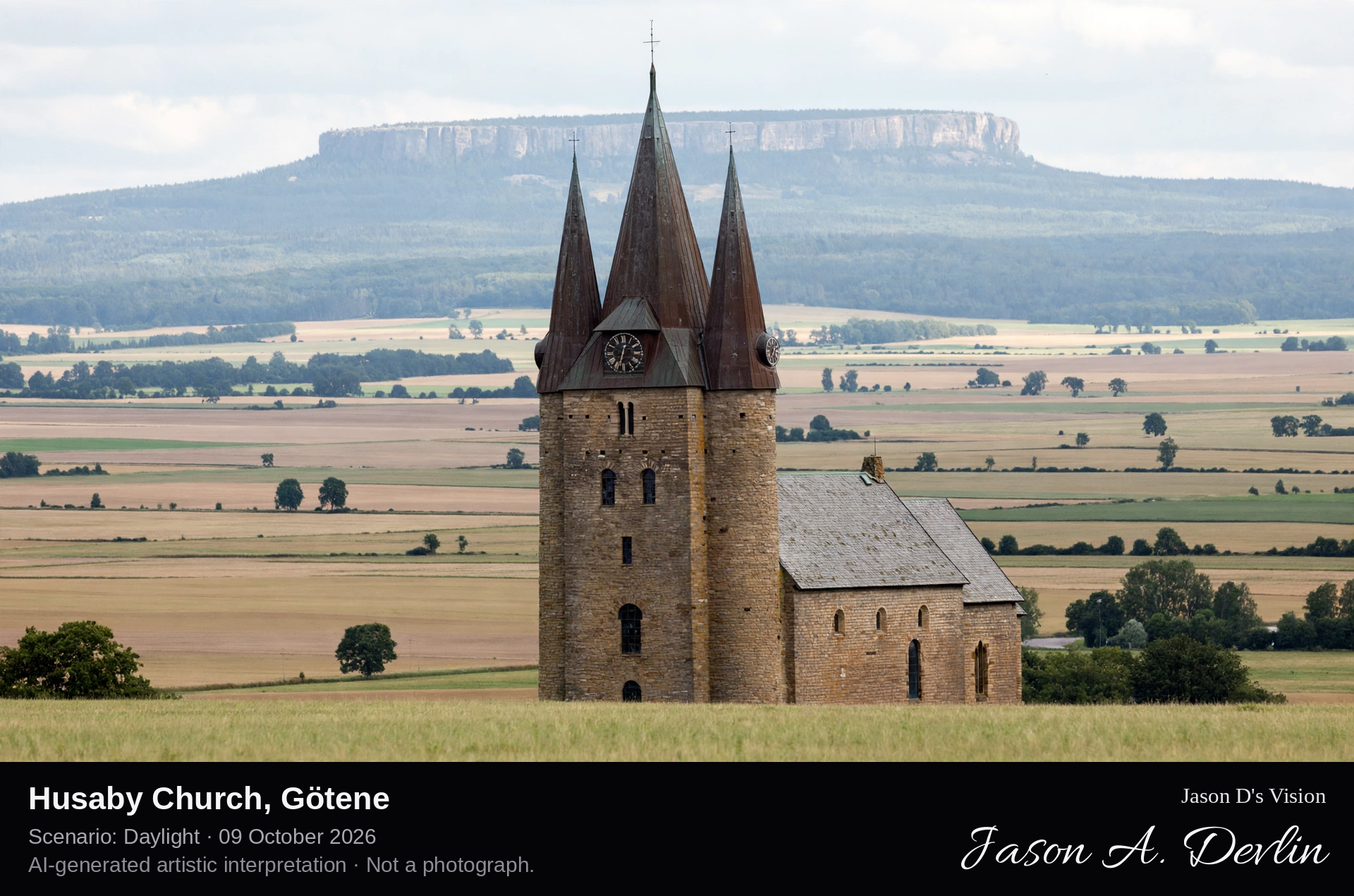
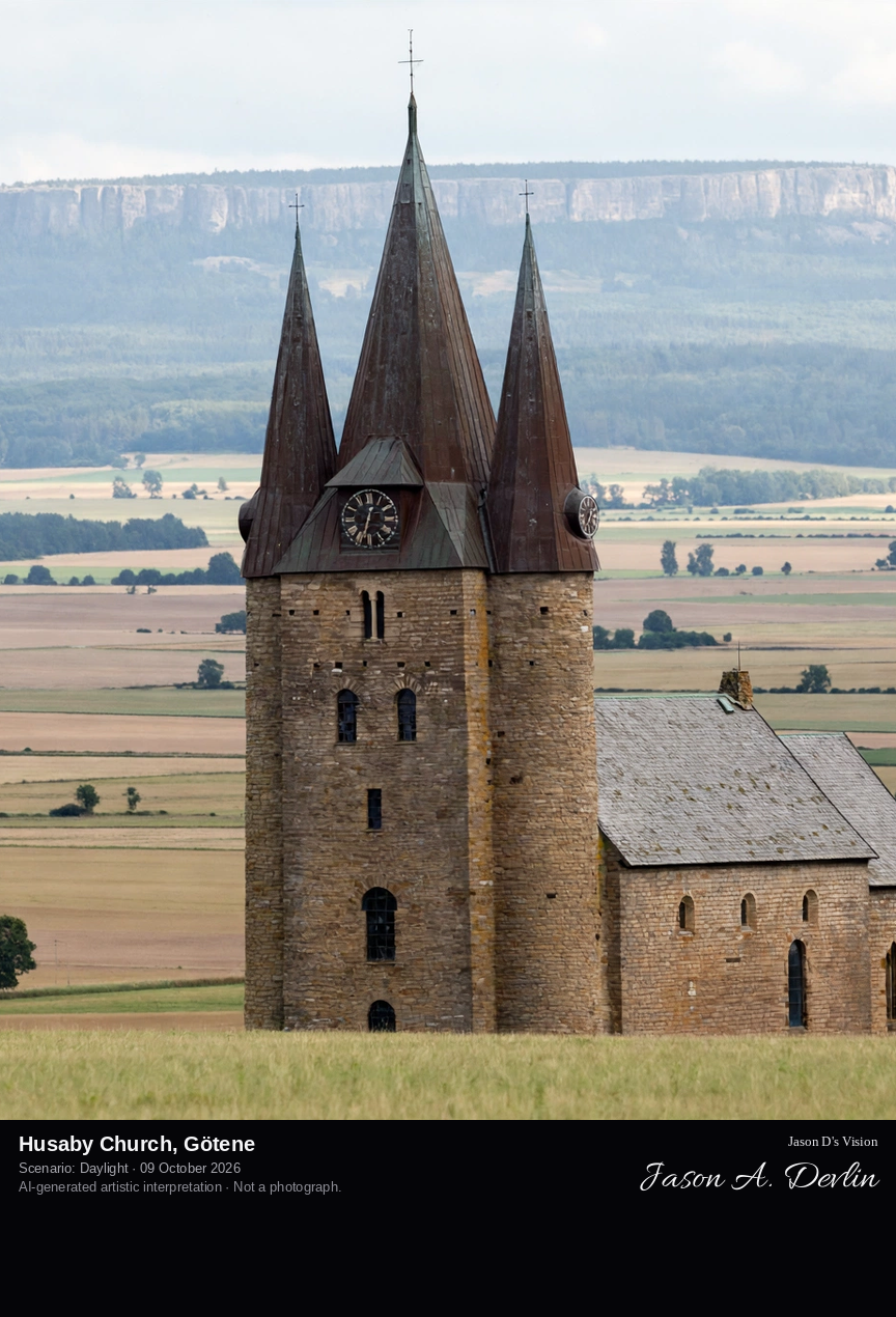
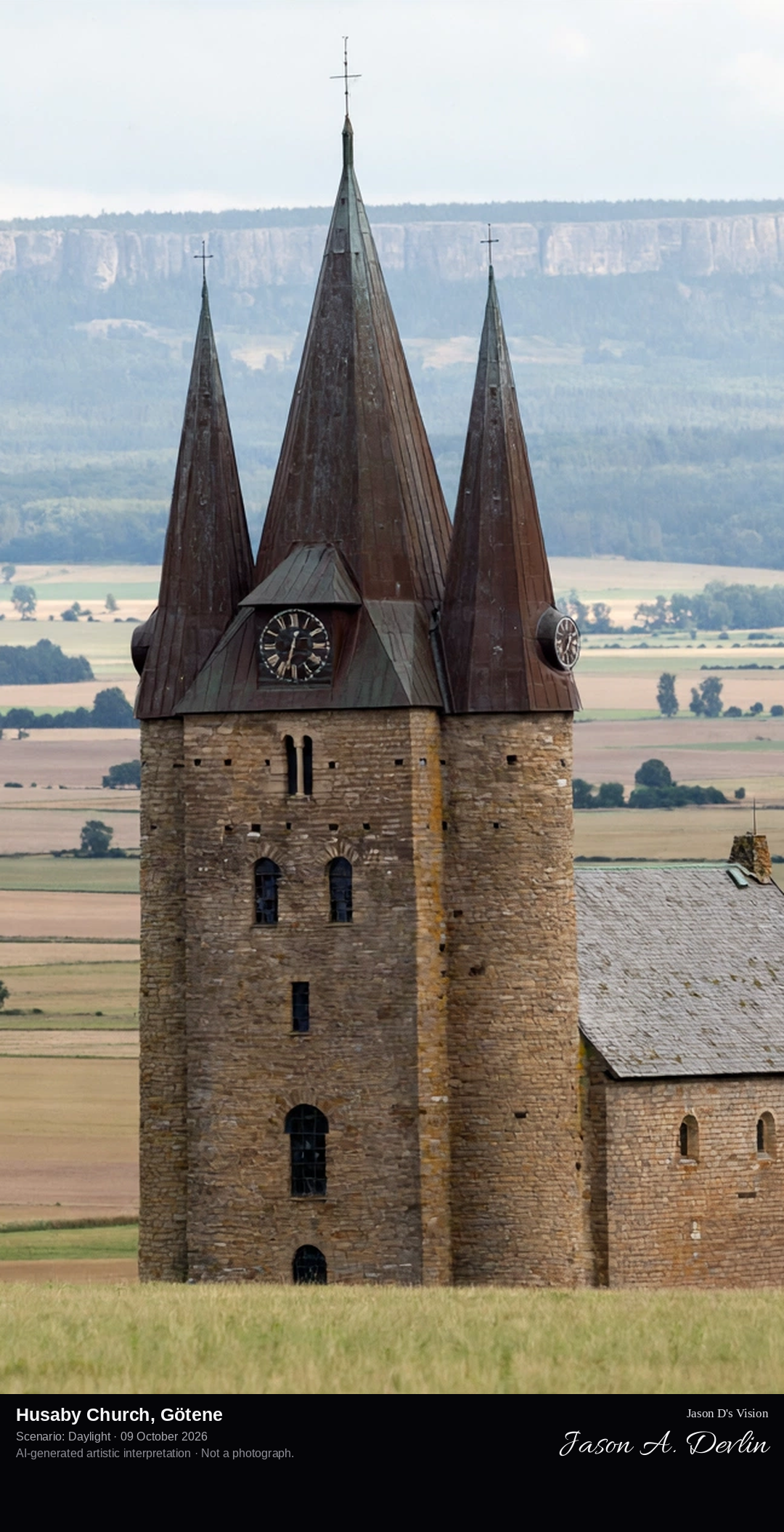
Husaby's 12th-century stone church with its distinctive stepped gables, where Olof Skötkonung was baptized around 1008, above the Kinnekulle slopes.
From the meadow below, the view takes in Husaby Church, the 12th-century stone church where Olof Skotkonung was baptized around 1008: a compact grey-stone church with distinctive stepped gables and a small stone porch, standing above a green meadow ringed by a low stone wall. The forested slopes of Kinnekulle rise behind it under a clear sky — one of Vastergotland's oldest church landscapes, rendered in bright natural daylight.
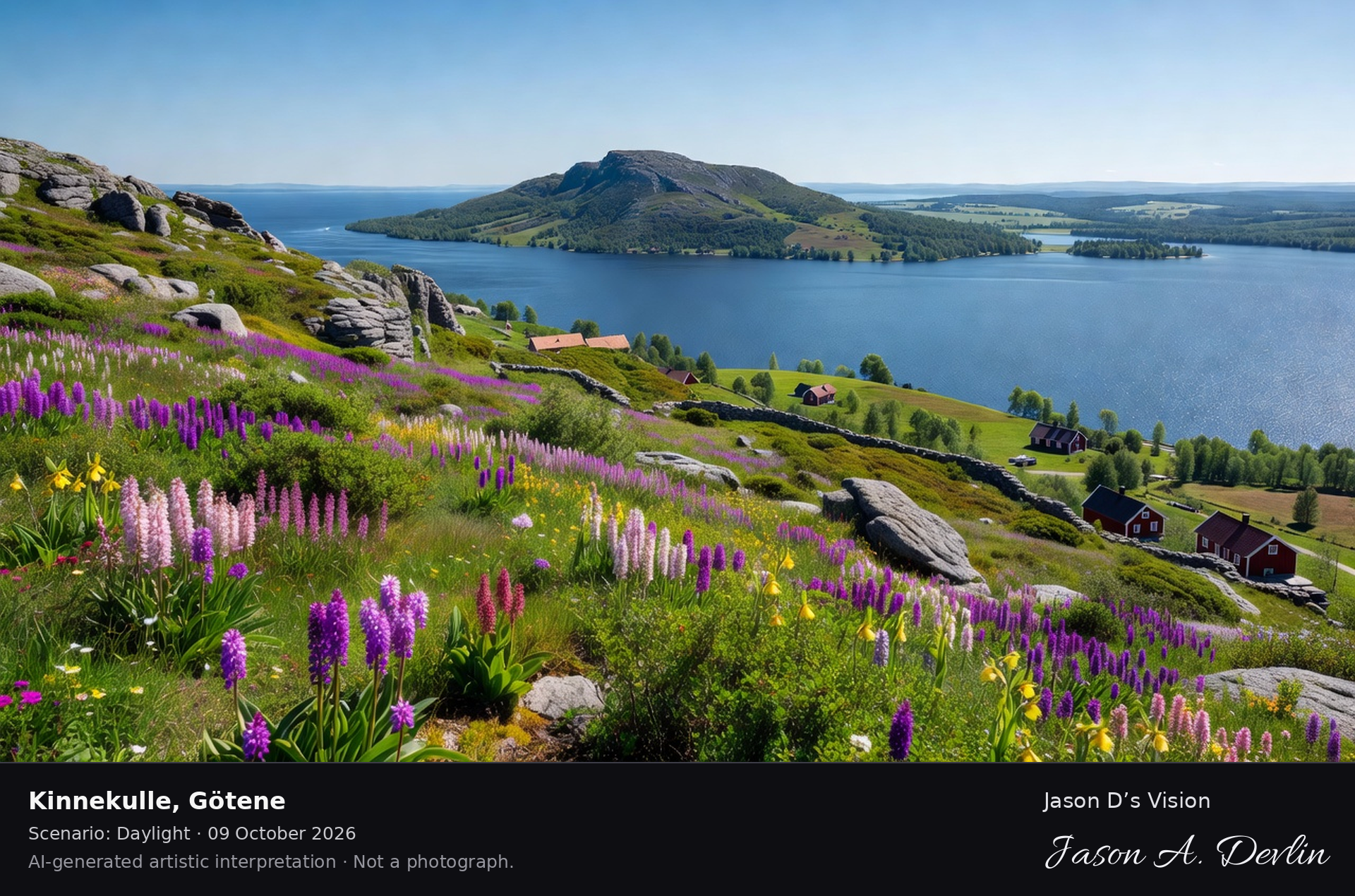
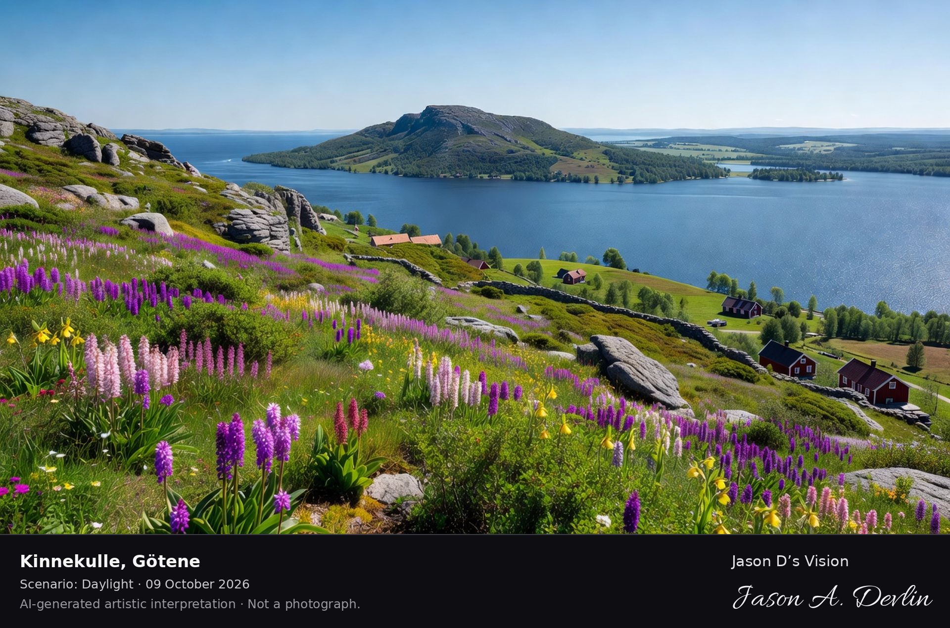
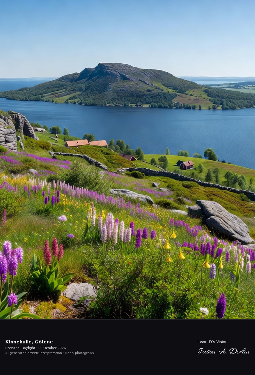
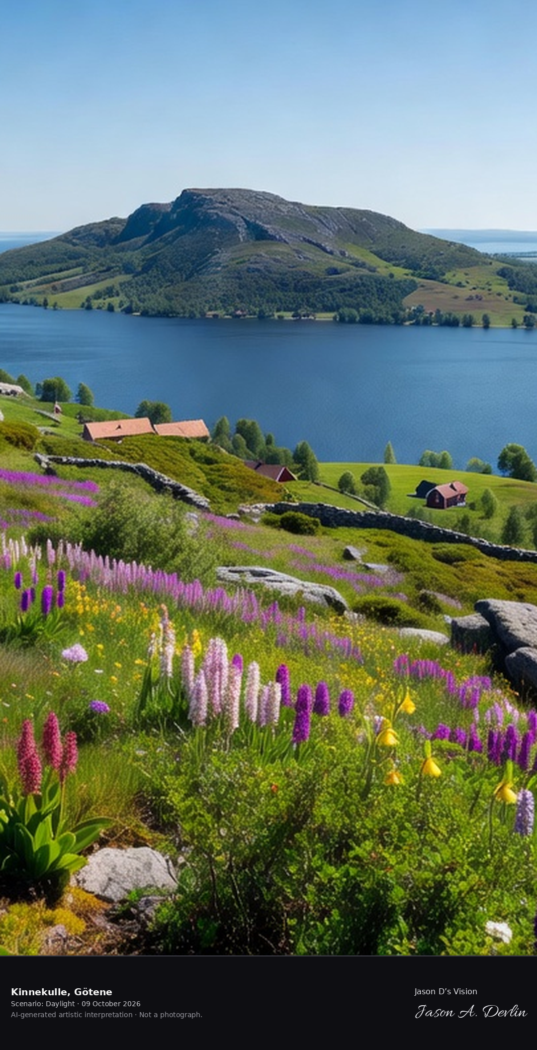
Kinnekulle's flowering mountain above Lake Vänern, the 'flowering mountain' with its orchid-rich limestone slopes and the panoramic view across Sweden's largest lake.
From the tourist viewpoint on Kinnekulle's slopes above Lake Vanern: the 'flowering mountain' in bloom — purple, pink and white orchids covering the limestone slopes, grey limestone boulders scattered through the meadow, red cottages tucked along the green shoreline, and the vast blue of Sweden's largest lake under bright natural daylight.
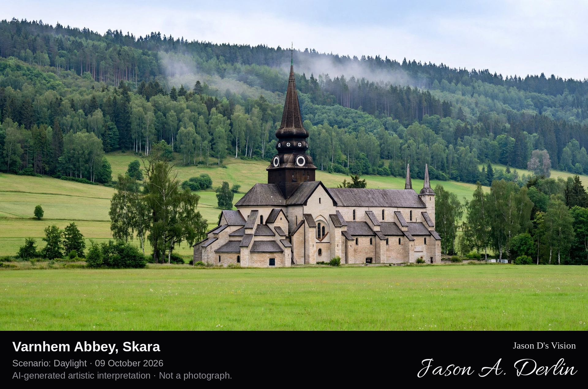
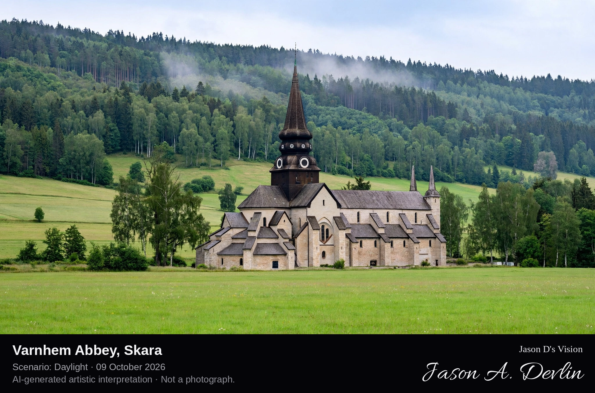
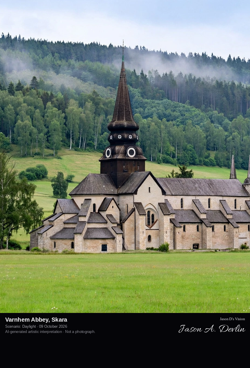
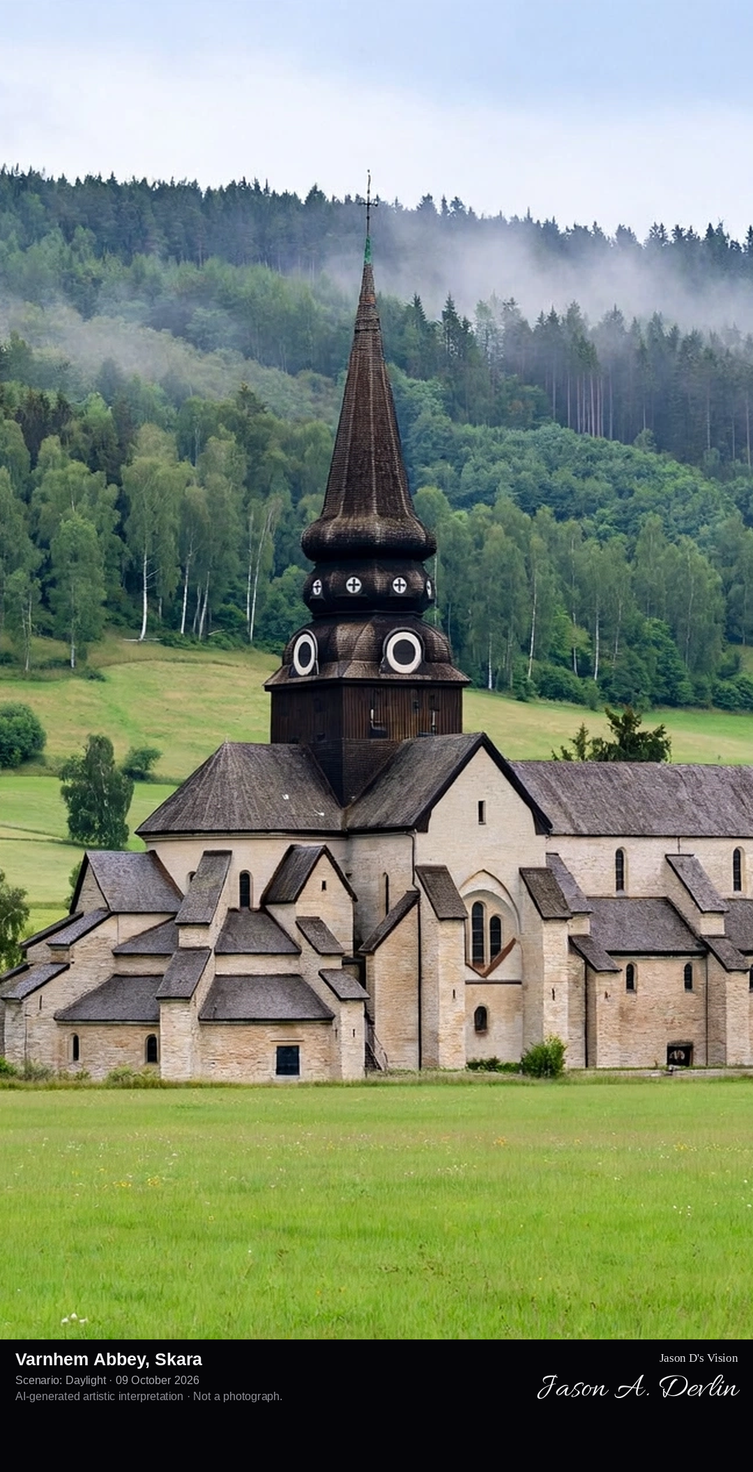
Varnhem Abbey's tall Cistercian church, complete and roofed with its slender spire, on lawns in the Västergötland plain below the wooded slope of Kinnekulle, with Birger Jarl's supposed grave.
From the tourist viewpoint at Varnhem Abbey in the Vastergotland plain: the tall Cistercian abbey church standing complete and roofed, pale stone with its slender spire, on lawns below the wooded slope of Kinnekulle, including Birger Jarl's supposed grave, all rendered in bright natural daylight.
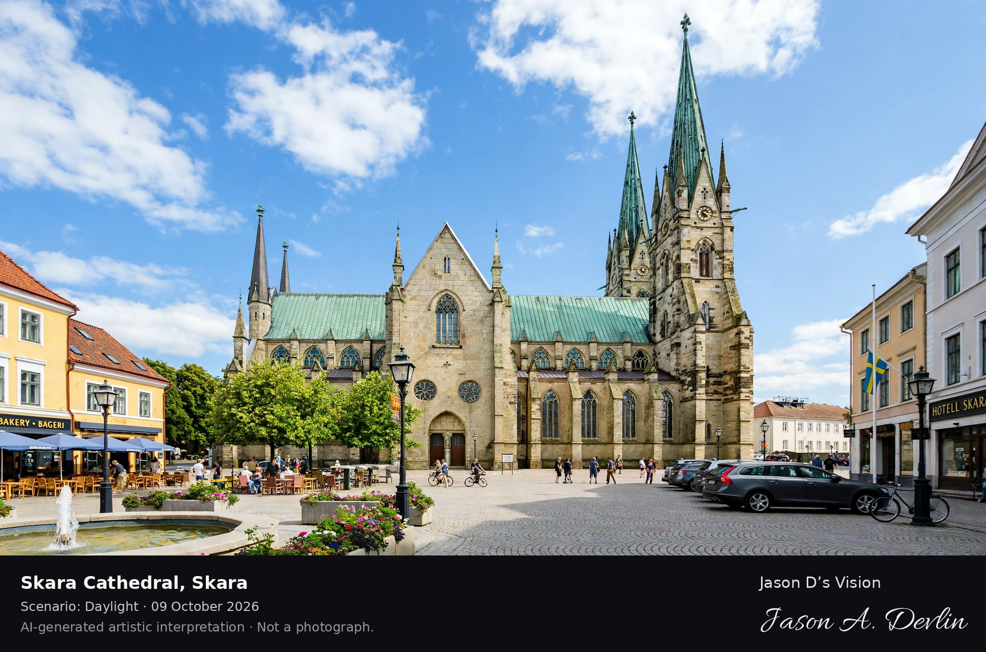
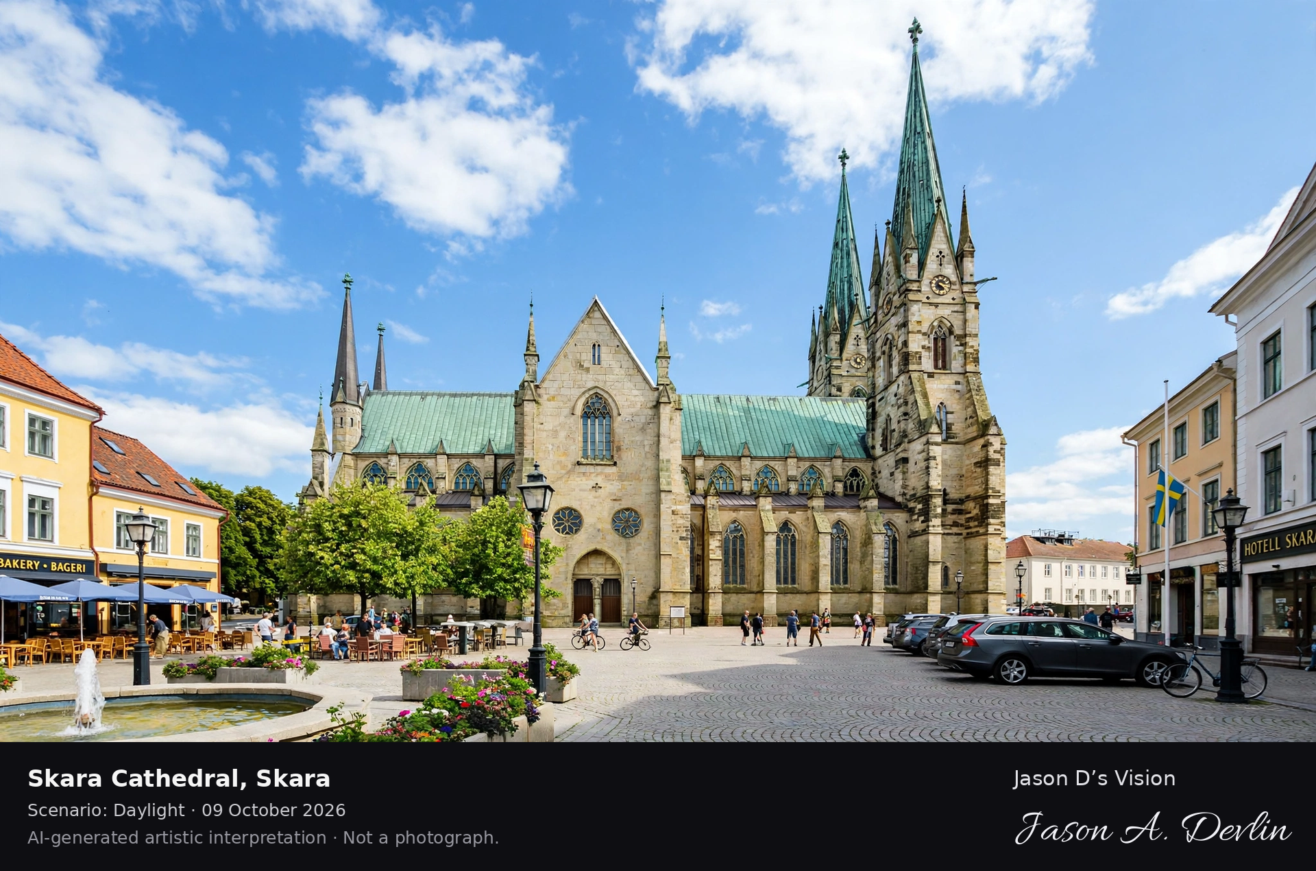
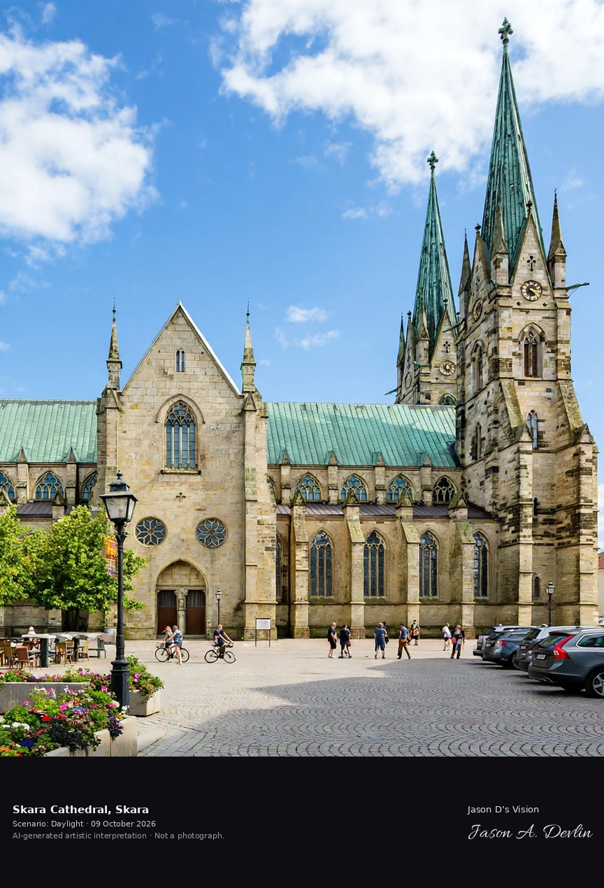
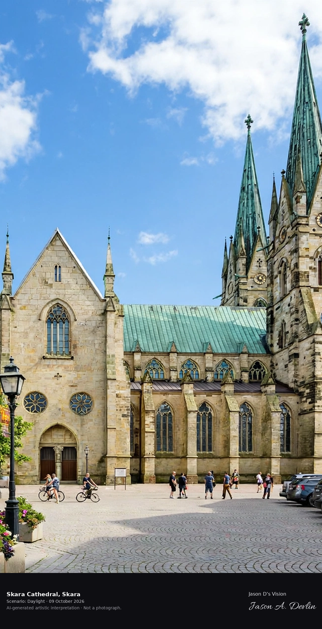
Skara Cathedral's twin Gothic towers above the Västergötland plain, one of Sweden's oldest churches with its 13th-century crypt and the diocese's 1,000-year history.
From the tourist viewpoint at Skara Cathedral: the twin Gothic spires of one of Sweden's oldest churches, the grey-stone nave with its rose window and Gothic tracery, standing above the flat Vastergotland farmland with stone walls and green fields under bright natural daylight.
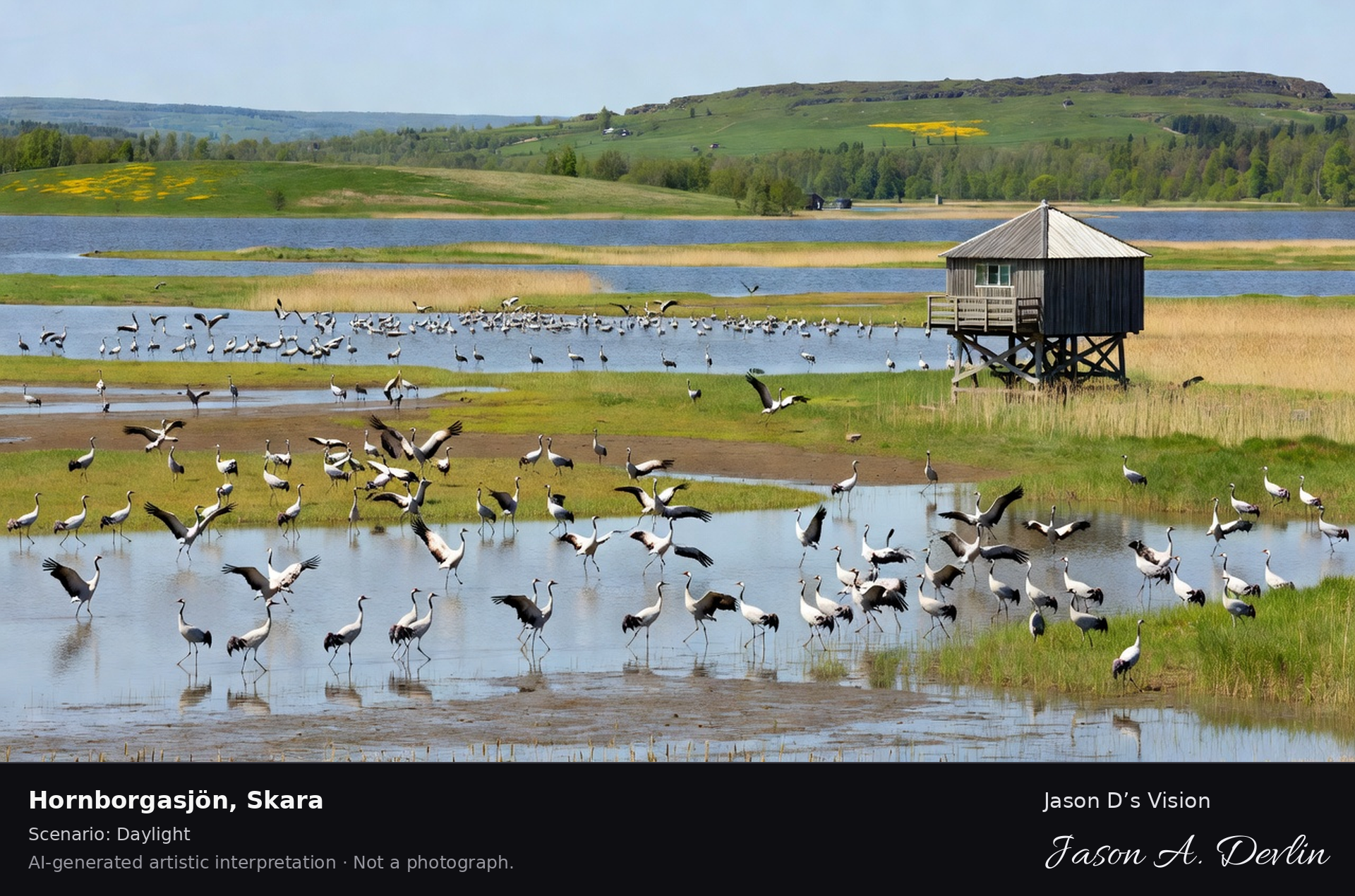
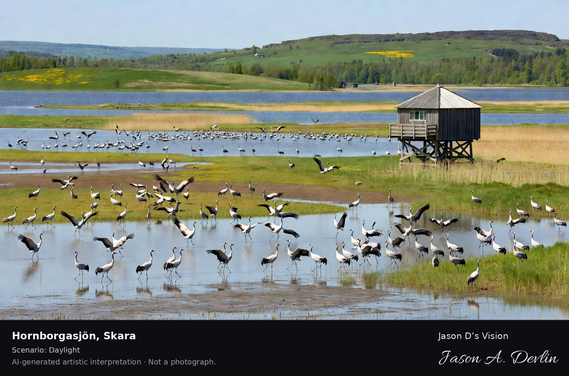
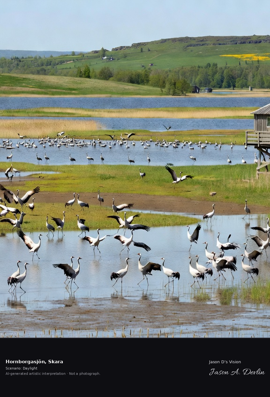
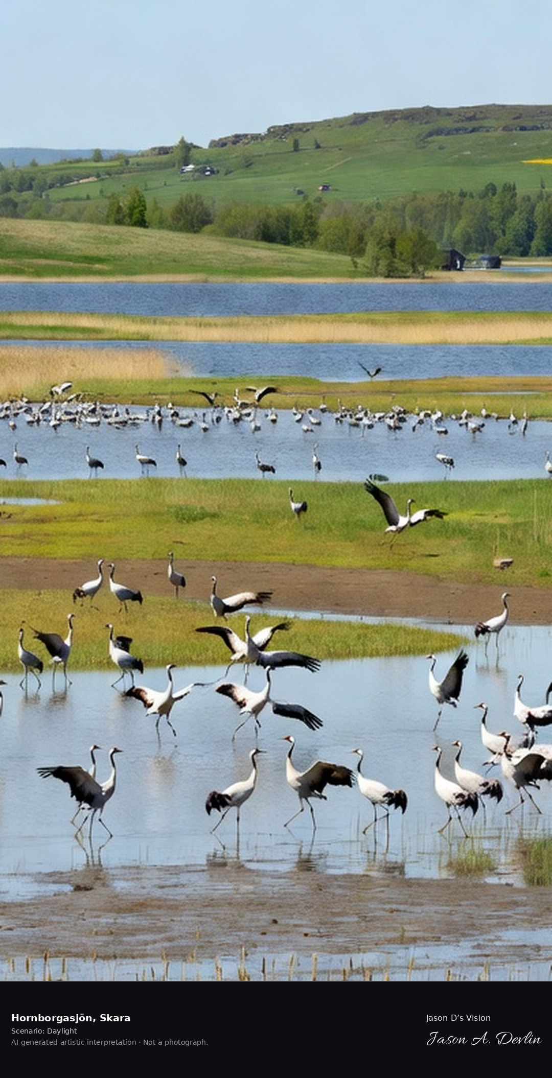
Lake Hornborgasjön's restored wetlands with thousands of dancing cranes in spring, the famous crane lake with its bird observatory and the Kinnekulle hills beyond.
From the classic birdwatching viewpoint at Lake Hornborgasjön near Skara: the restored wetlands dotted with dozens of dancing cranes in spring plumage, the wooden bird observatory tower on stilts at right, open lake water and reed beds with the Kinnekulle hills beyond — all in bright natural daylight.
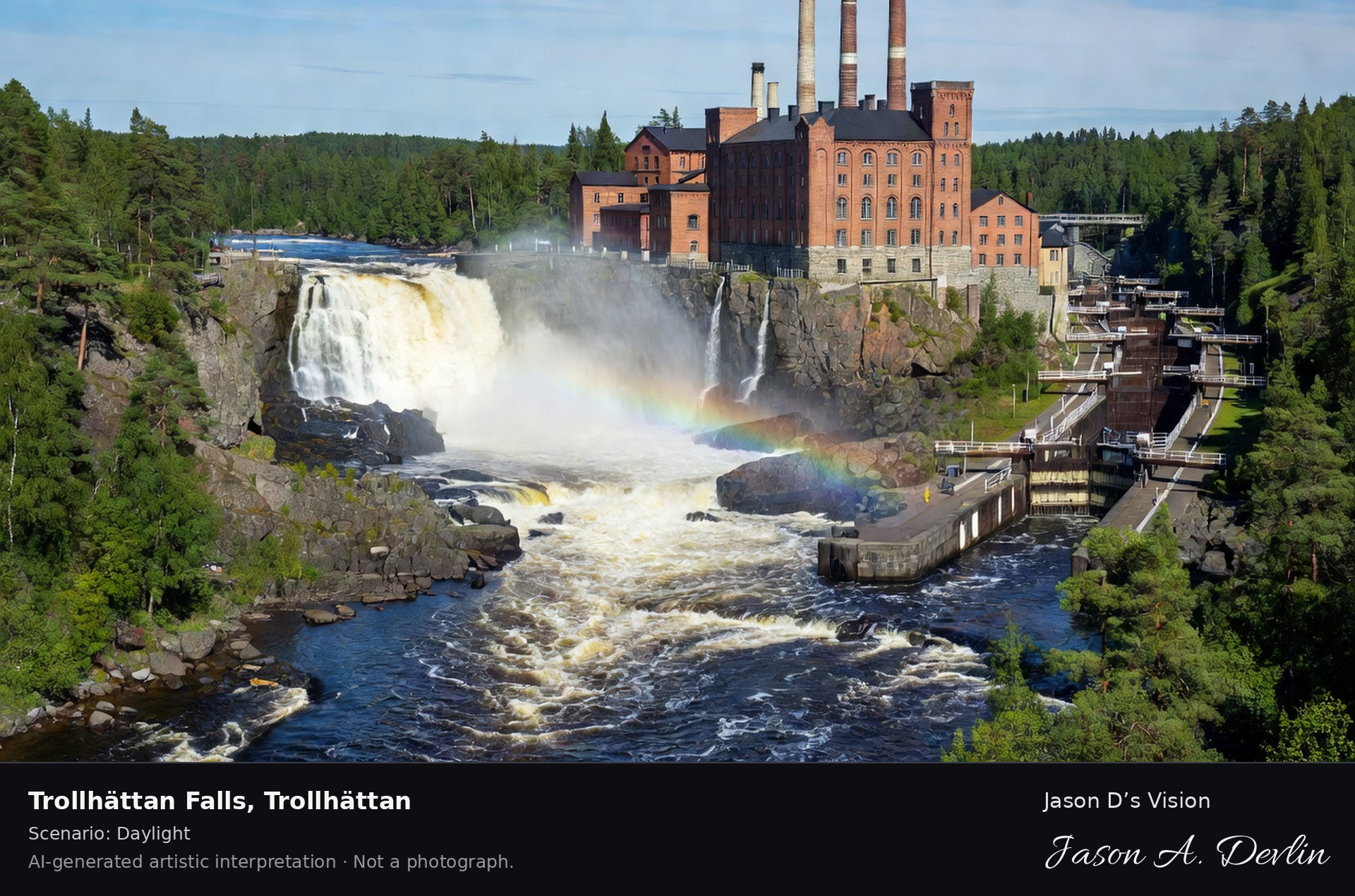
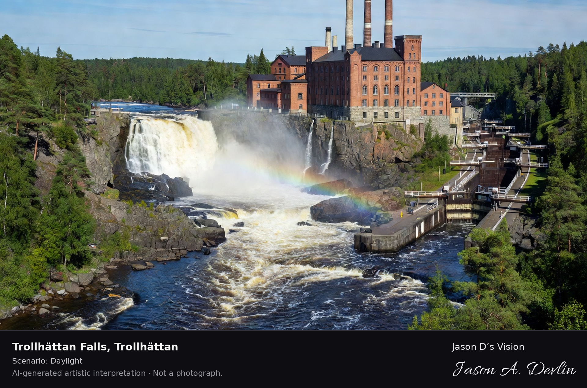
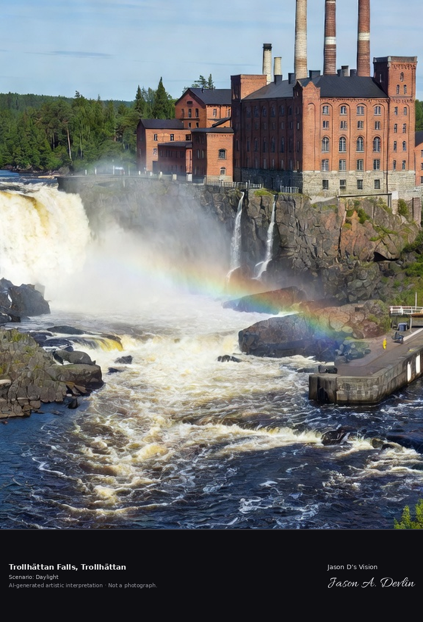
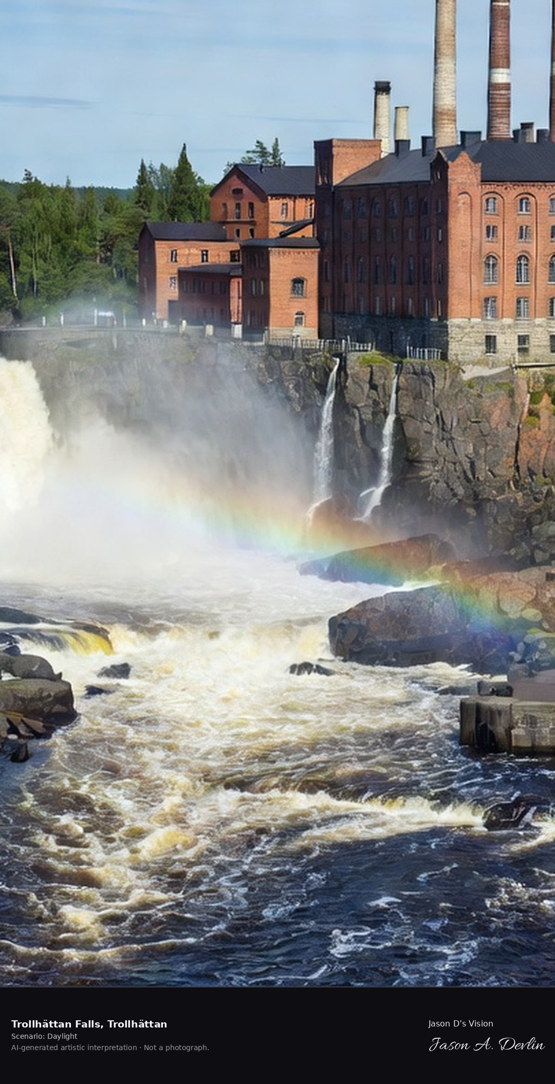
Trollhättan's historic falls released from the dam, the mighty Göta Älv thundering through the old riverbed with the Olidan power station and the canal locks alongside.
From the classic viewpoint at the historic falls in Trollhättan: the mighty Göta Älv thundering through the old riverbed on a falls-release day, the red-brick Olidan power station (opened 1910, Sweden's first large-scale hydroelectric plant) rising above with its tall chimneys, and the canal lock flight alongside — all in bright natural daylight.
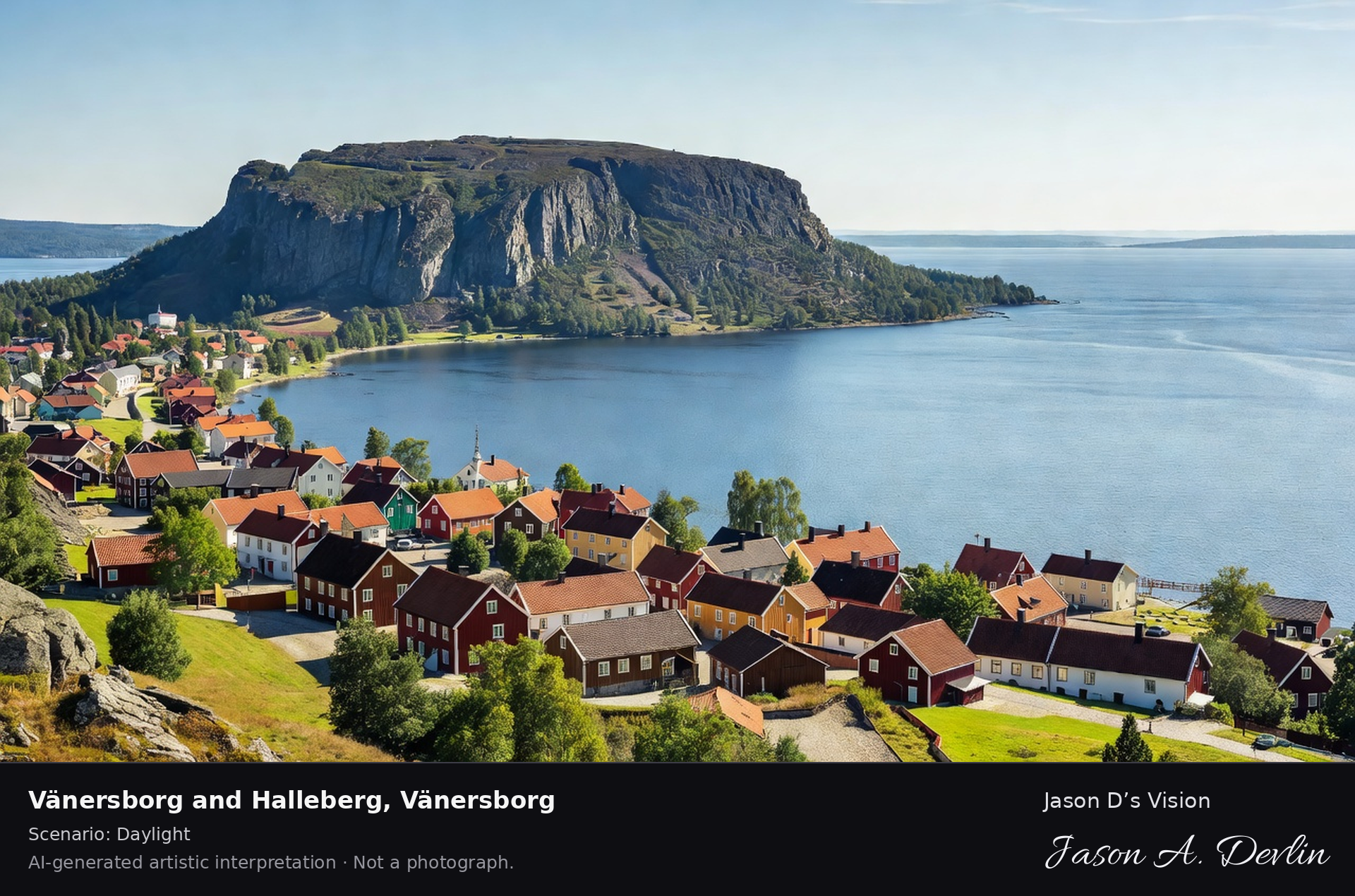
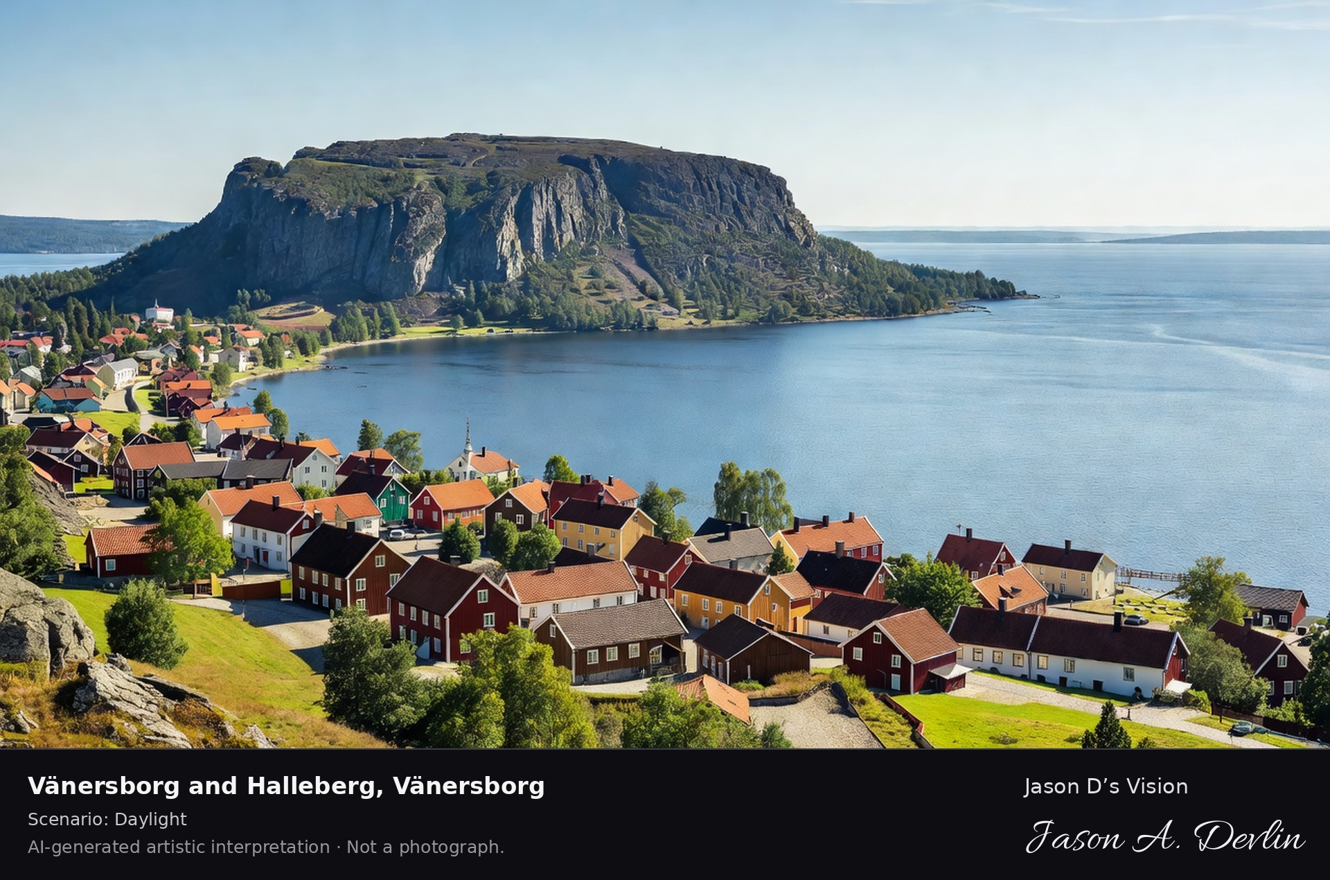
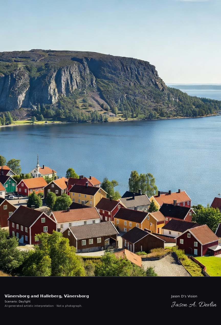
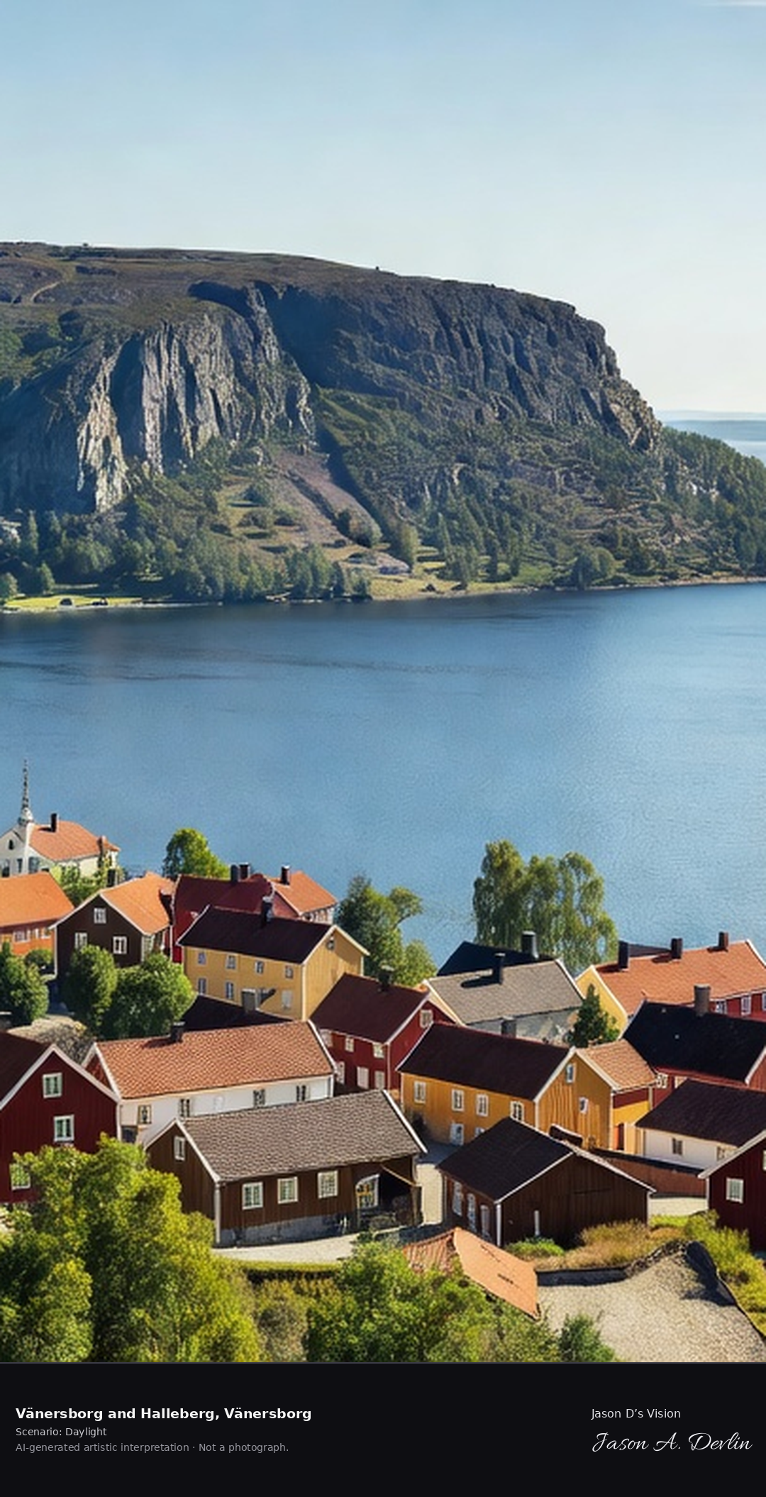
Halleberg's plateau mountain above Lake Vänern at Vänersborg, the distinctive table mountain with its ancient hillfort and the panoramic view over the inland sea.
From the elevated viewpoint over Vänersborg toward Halleberg: the distinctive cliff-sided plateau of the Halleberg table mountain (155 m, part protruding into Lake Vänern) rising above the inland sea, with Vänersborg's red rooftops and church spire in the foreground — all in bright natural daylight.
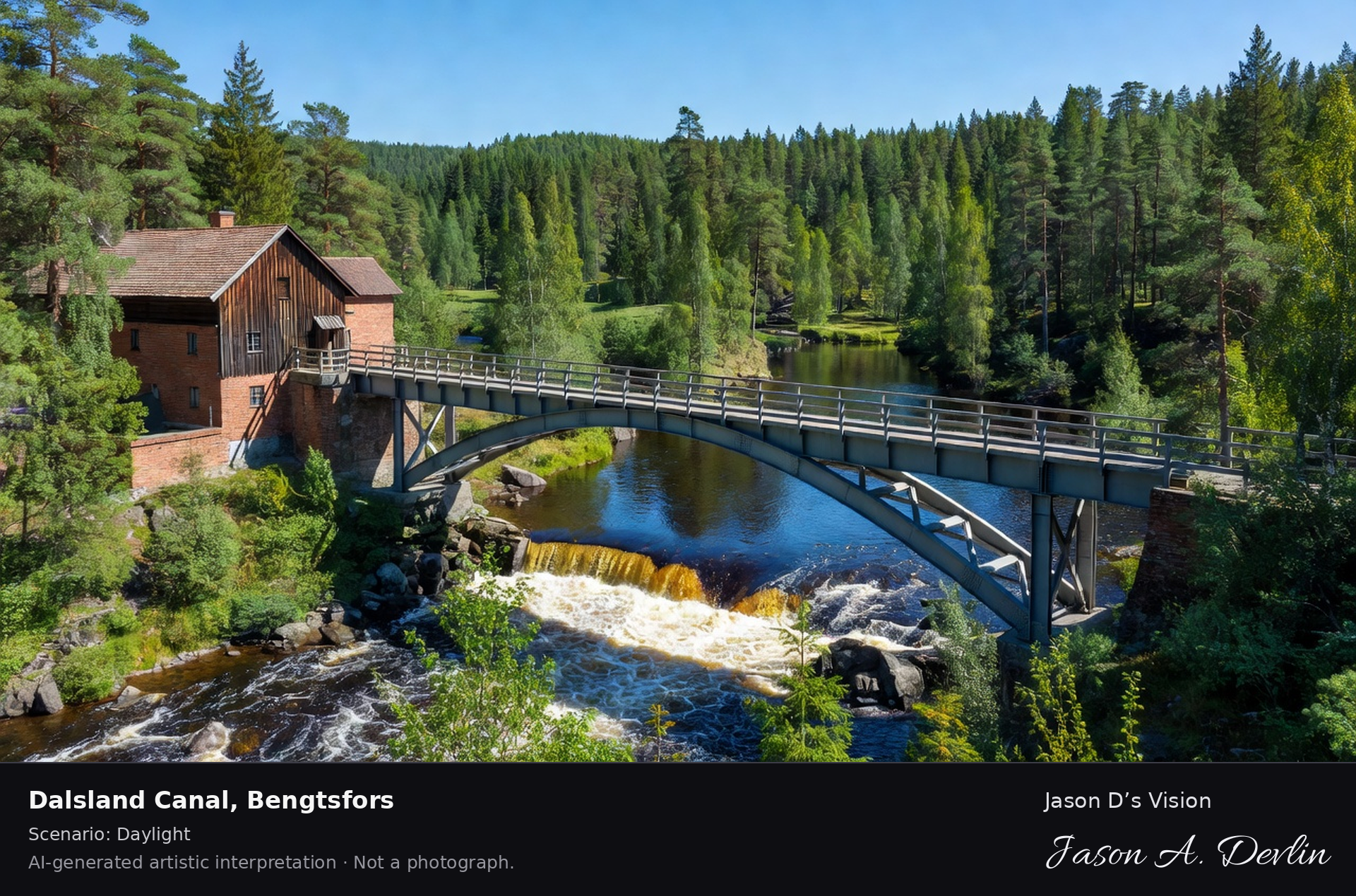
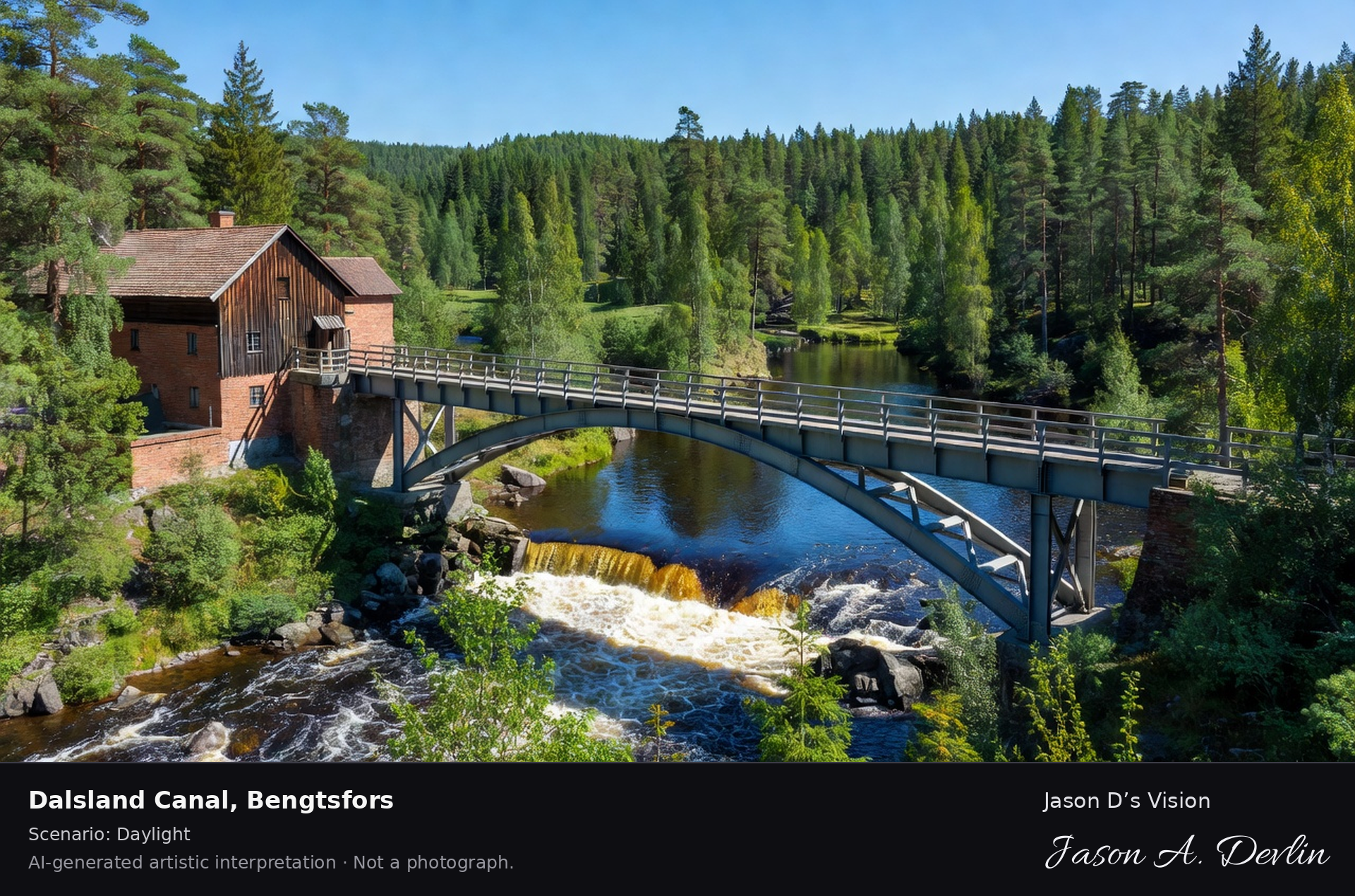
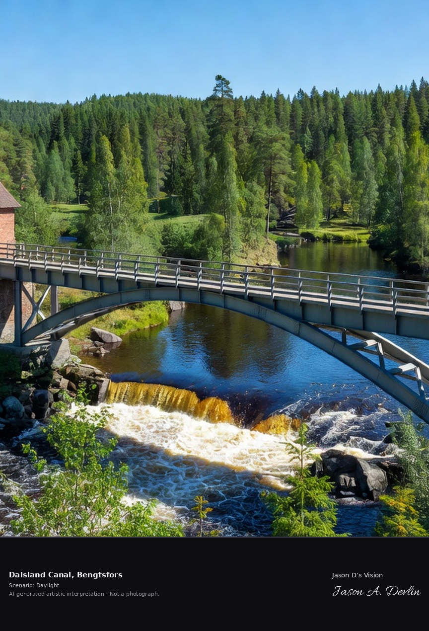
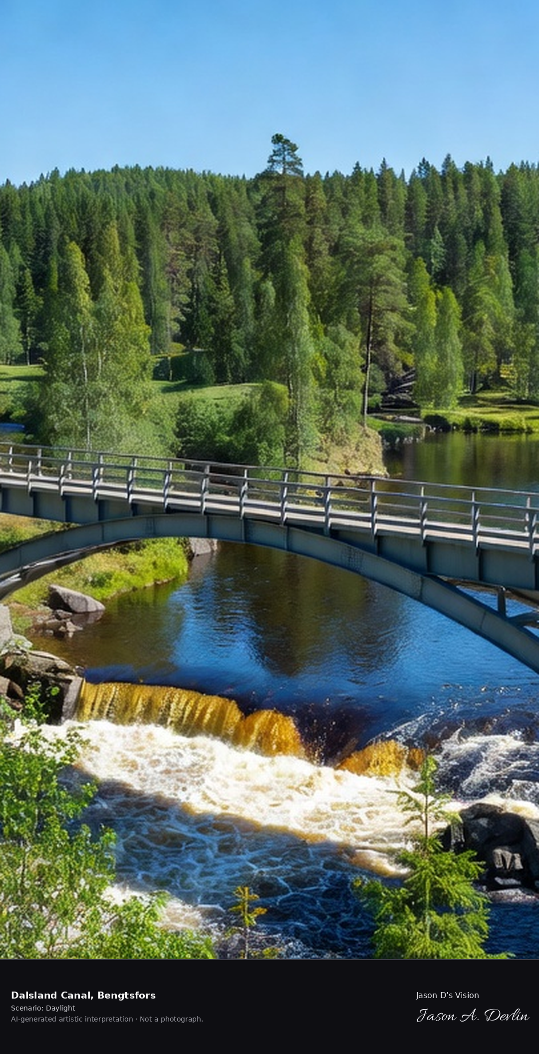
The Dalsland Canal's famous aqueduct at Håverud, where the canal crosses the rapids on a steel bridge with the old paper mill and the Dalsland forest beyond.
At Håverud the Dalsland Canal crosses the rapids on its famous steel aqueduct. Below stands the old paper mill, with the Dalsland forest beyond, in bright natural daylight.
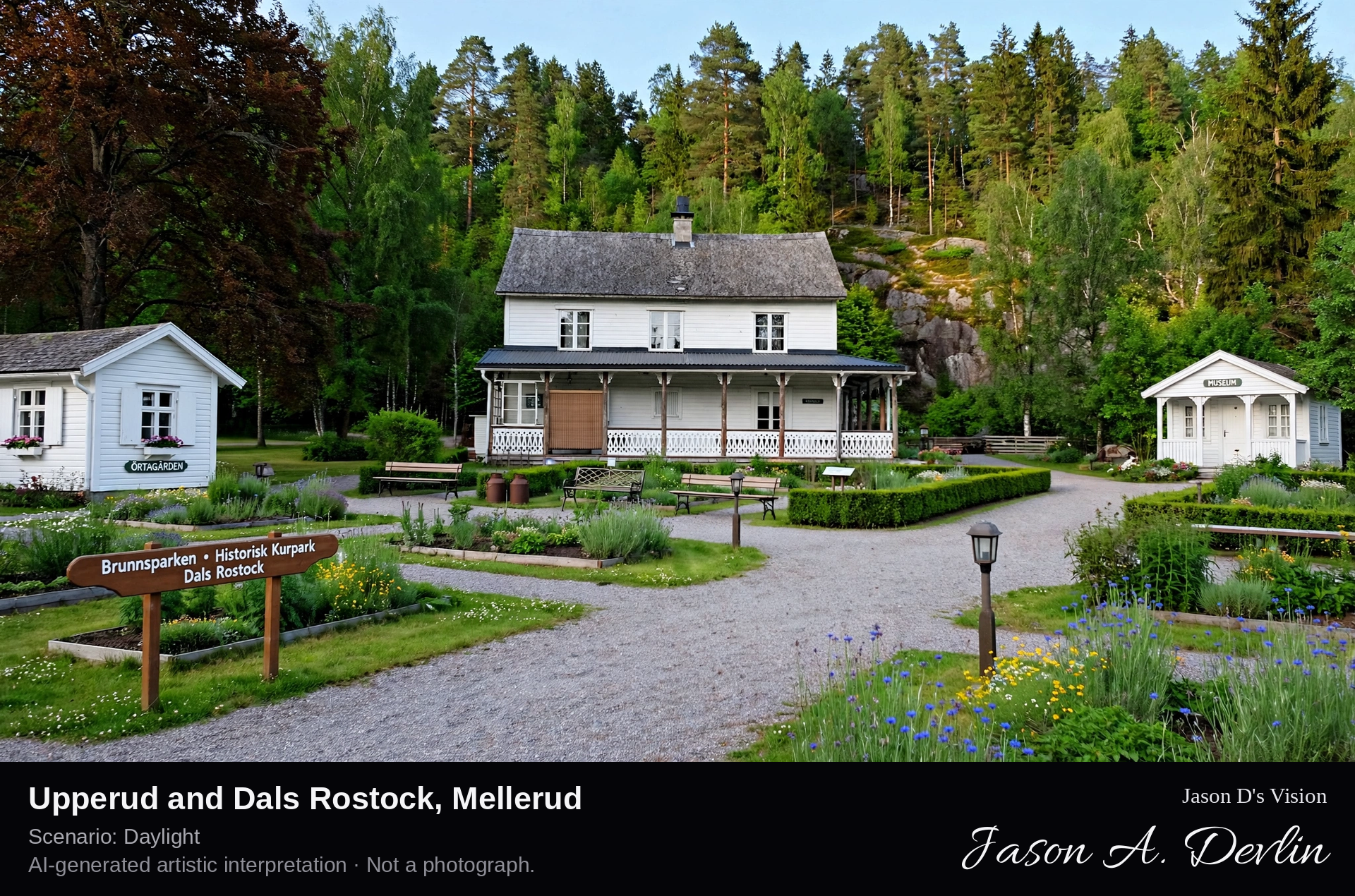
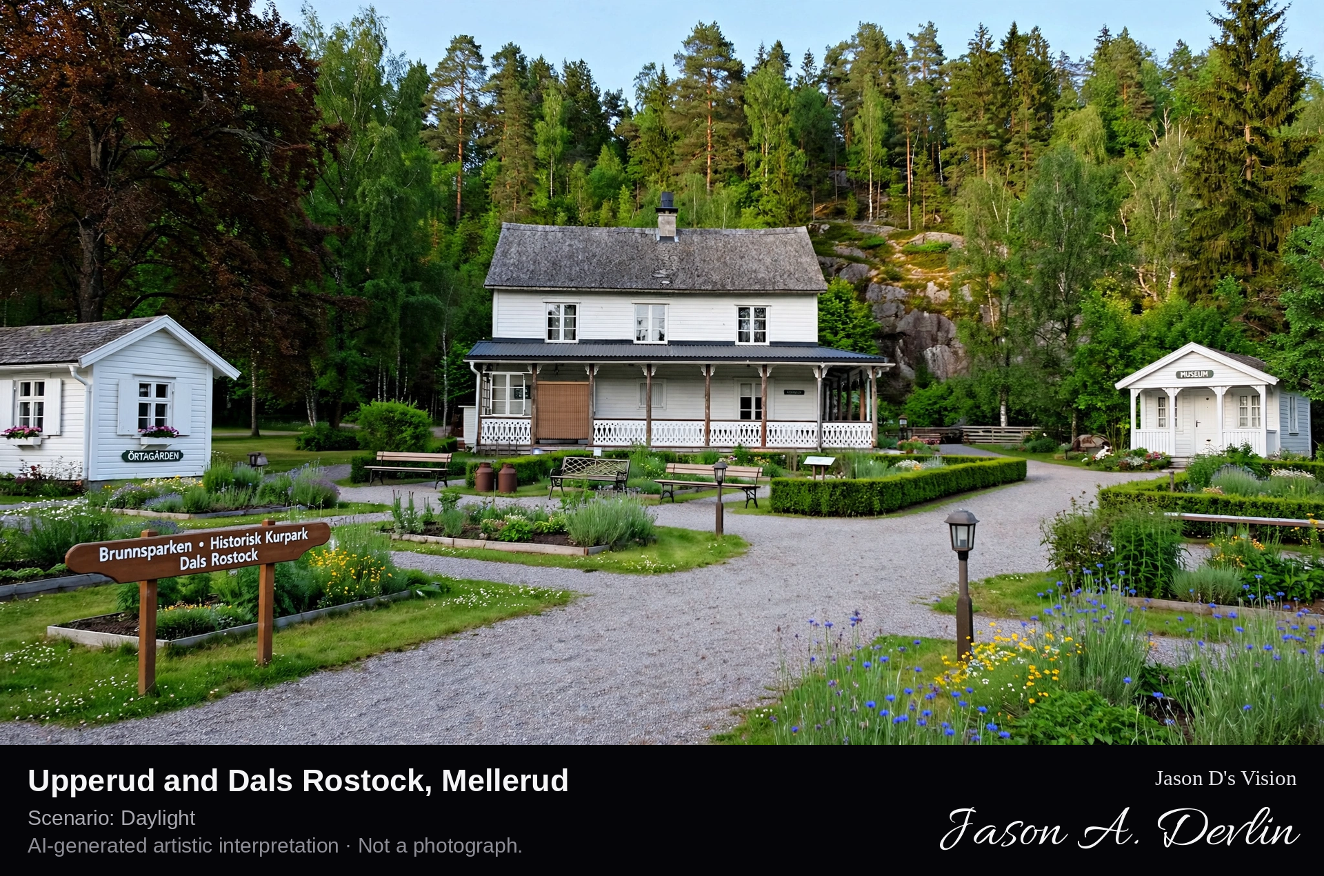
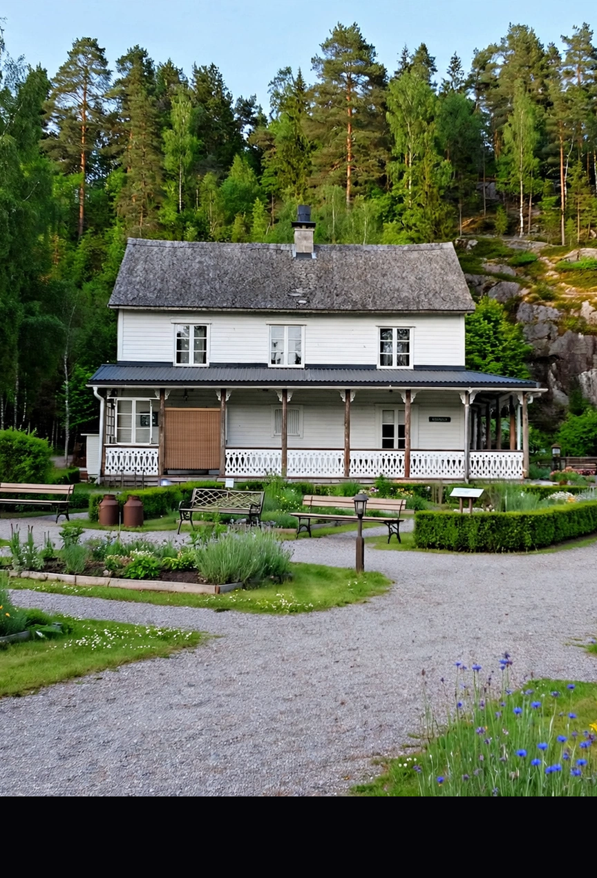
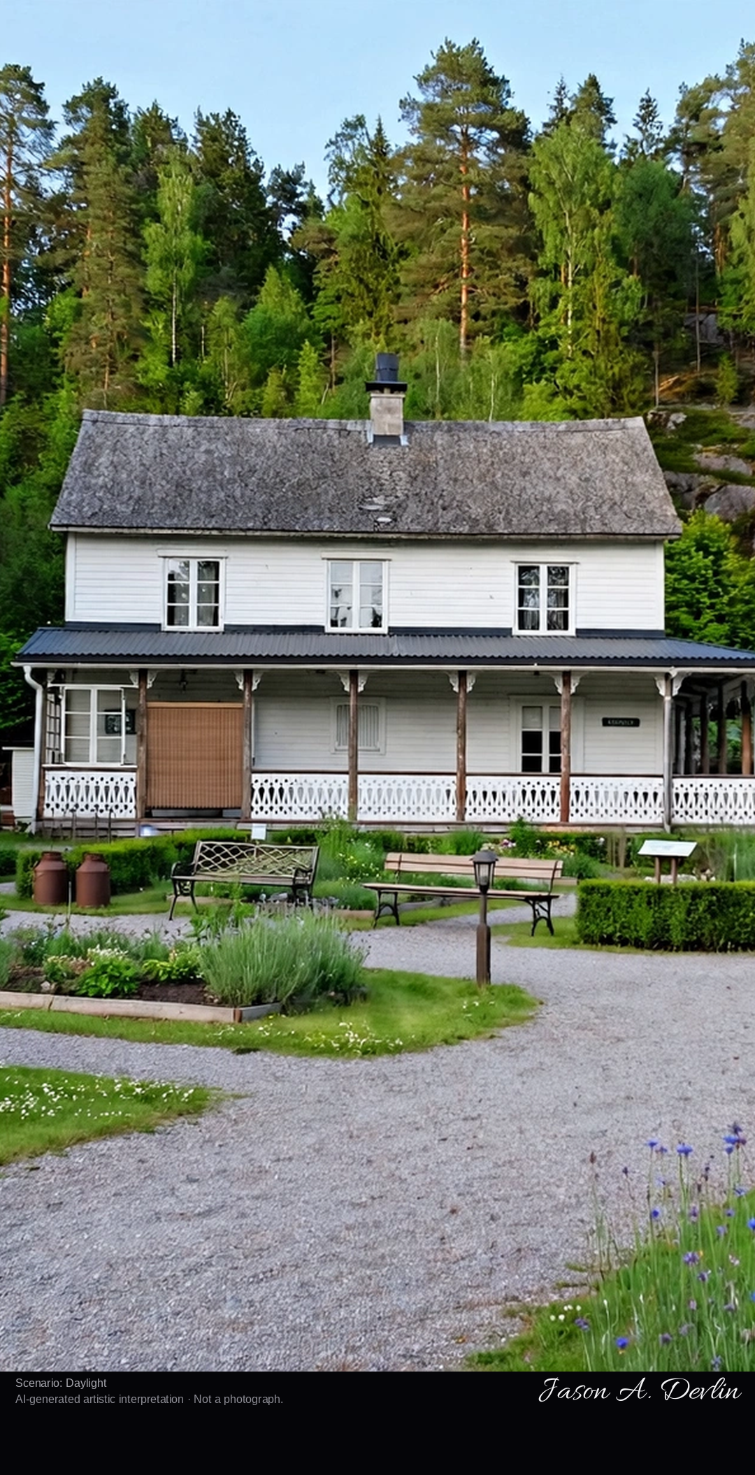
Brunnparken, the historic spa park at Dals Rostock in the Dalsland forest — white wooden pavilions, the herb garden and the little museum of the old health resort.
Brunnparken, the historic spa park at Dals Rostock in the Dalsland forest — white wooden pavilions, the herb garden and the little museum of the old health resort. In bright natural daylight.
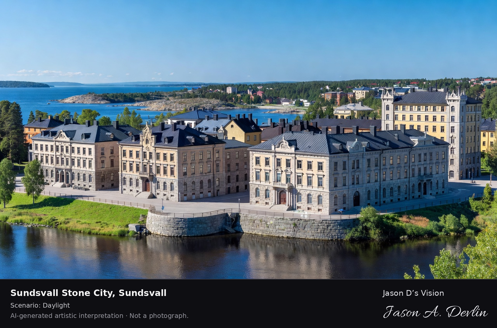
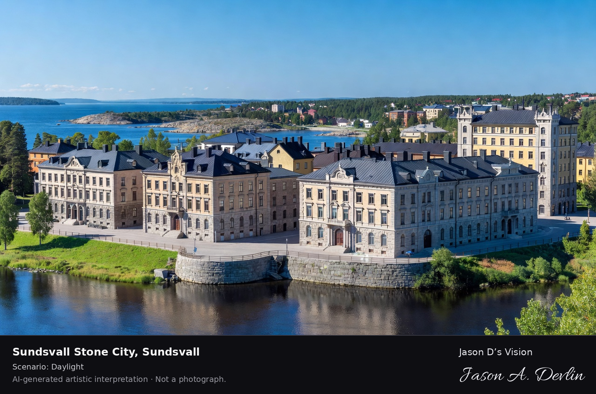
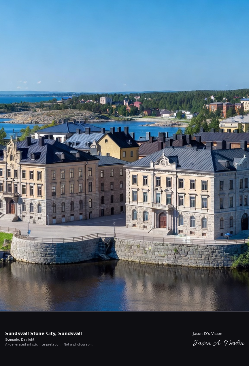
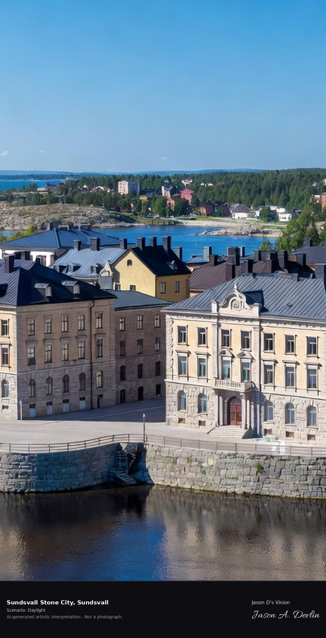
Sundsvall's Stenstan, the stone city rebuilt after the 1888 fire, grand neo-Renaissance facades along Storgatan with the Selångersån river and the Norrland coast beyond.
Along Storgatan run the grand neo-Renaissance facades of Sundsvall’s Stenstan, the stone city rebuilt after the 1888 fire. Beyond lie the Selångersån river and the Norrland coast, in bright natural daylight.
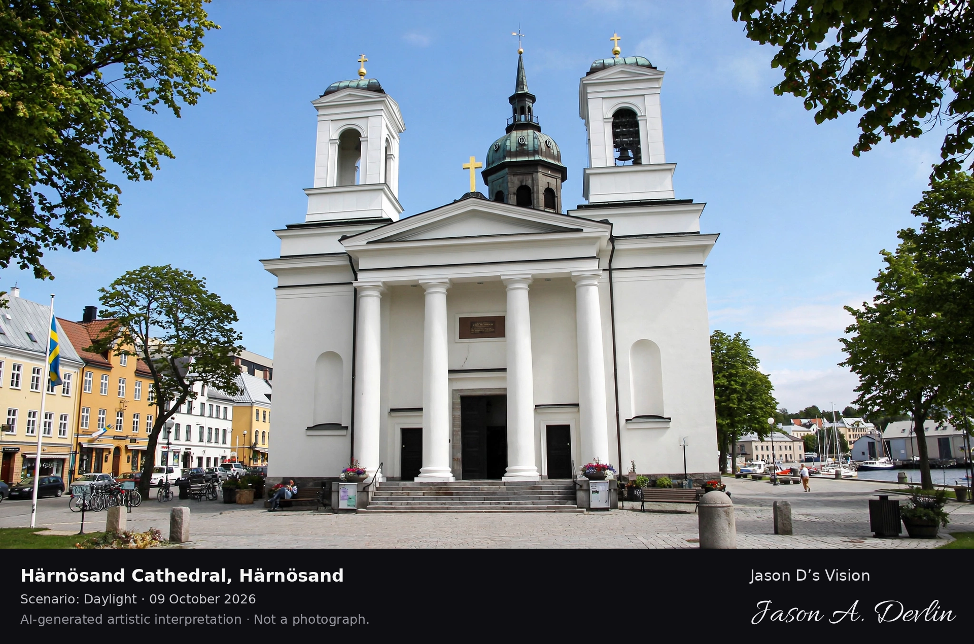
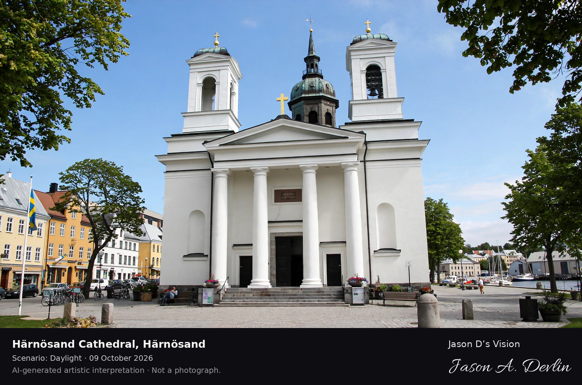
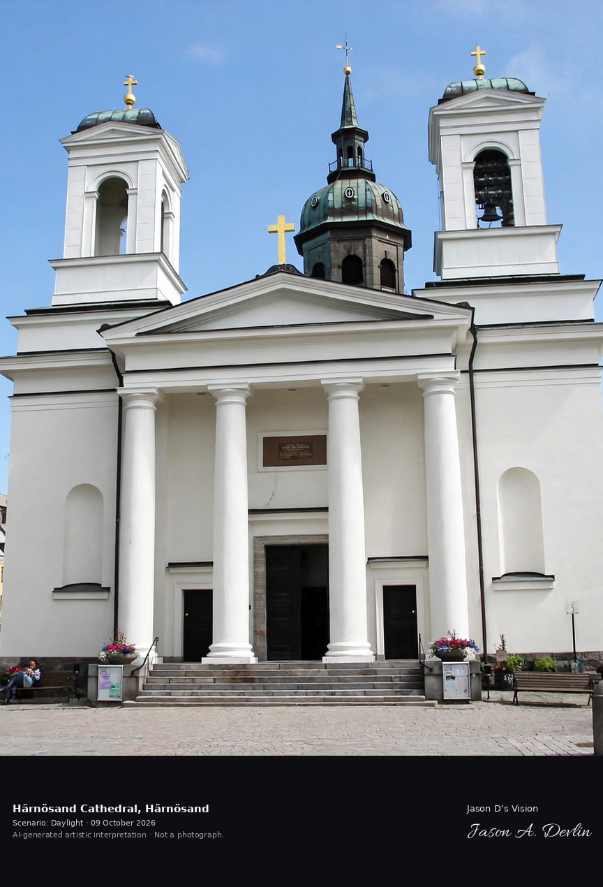
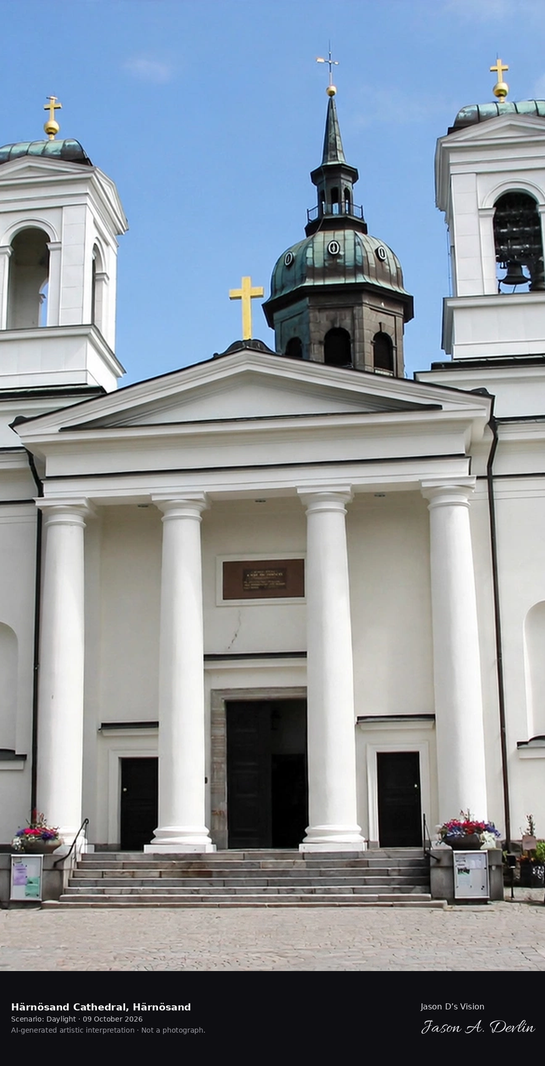
Härnösand Cathedral's neoclassical dome above the Ångermanälven estuary, the northern diocese's 19th-century church with the High Coast hills beyond.
The neoclassical dome of Härnösand Cathedral rising above the Ångermanälven estuary — the northern diocese's 19th-century church framed against the rolling High Coast hills, all in bright natural daylight.
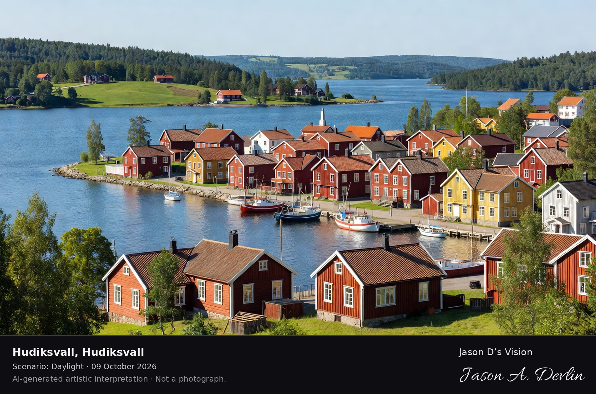
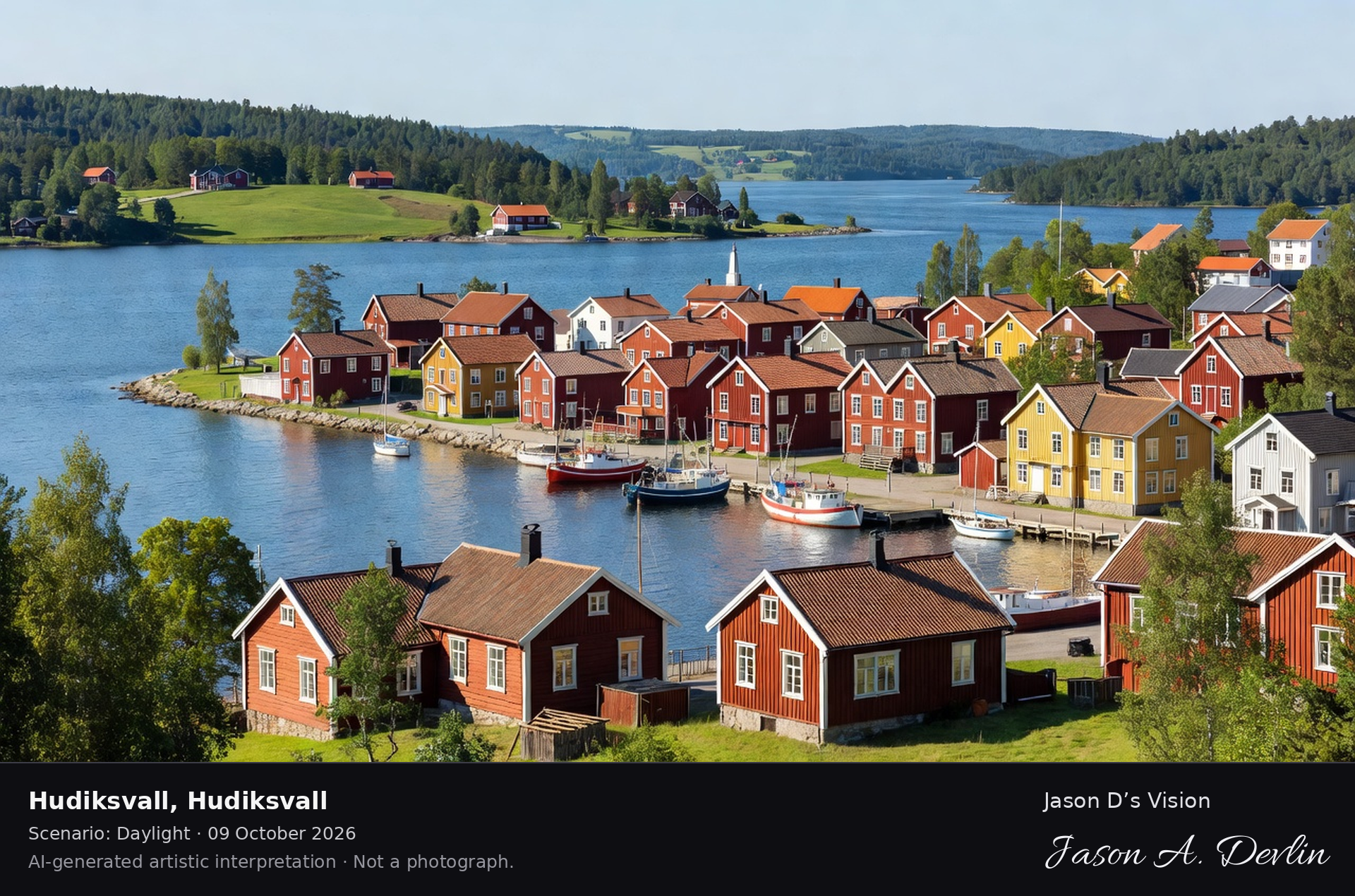
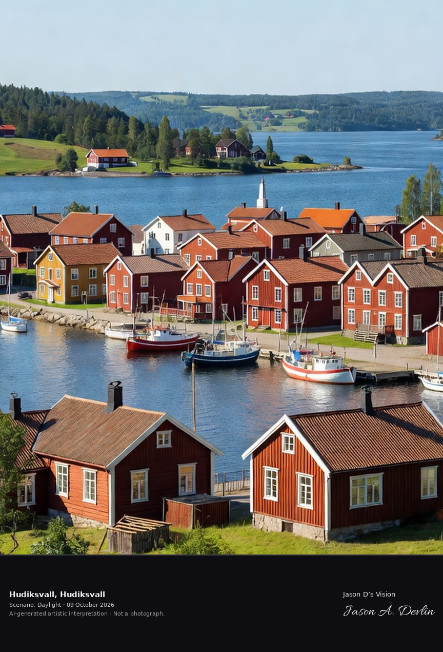
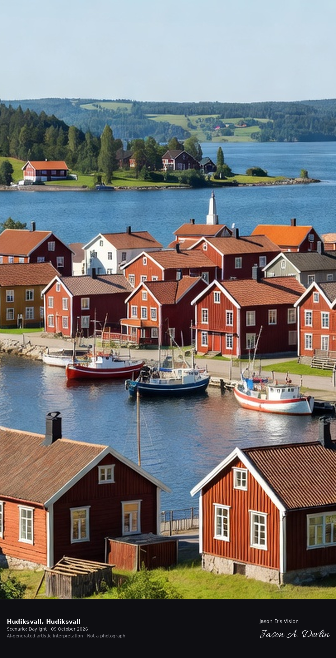
Hudiksvall's wooden town on the Bothnian coast, the 'pearl of Hälsingland' with its 19th-century wooden houses and the harbor, gateway to the Hälsingegårdar.
Hudiksvall's wooden town on the Bothnian coast — the 'pearl of Hälsingland' with its red and ochre 19th-century wooden houses clustered around the harbor, boats moored along the quays, all in bright natural daylight.
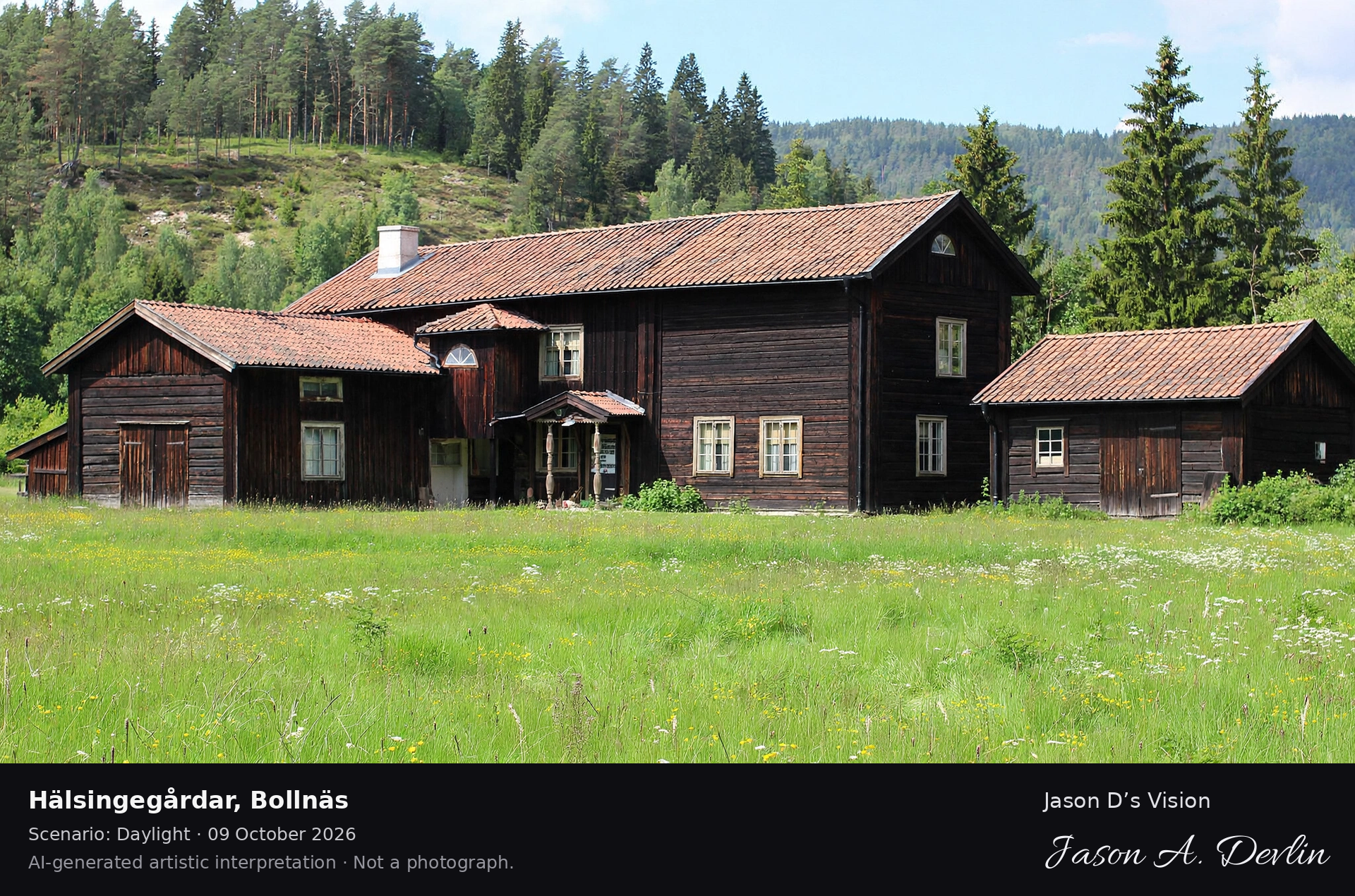
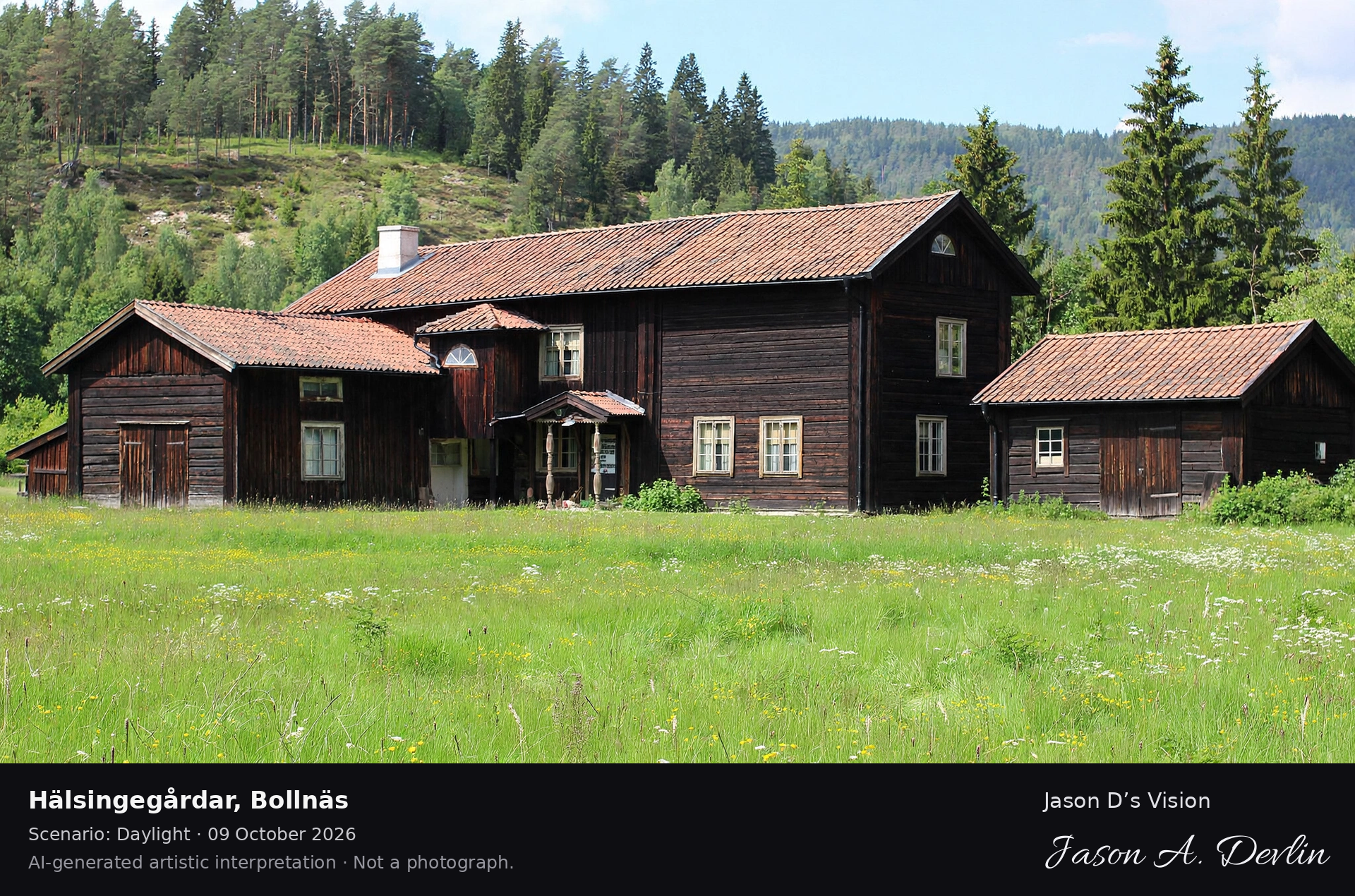
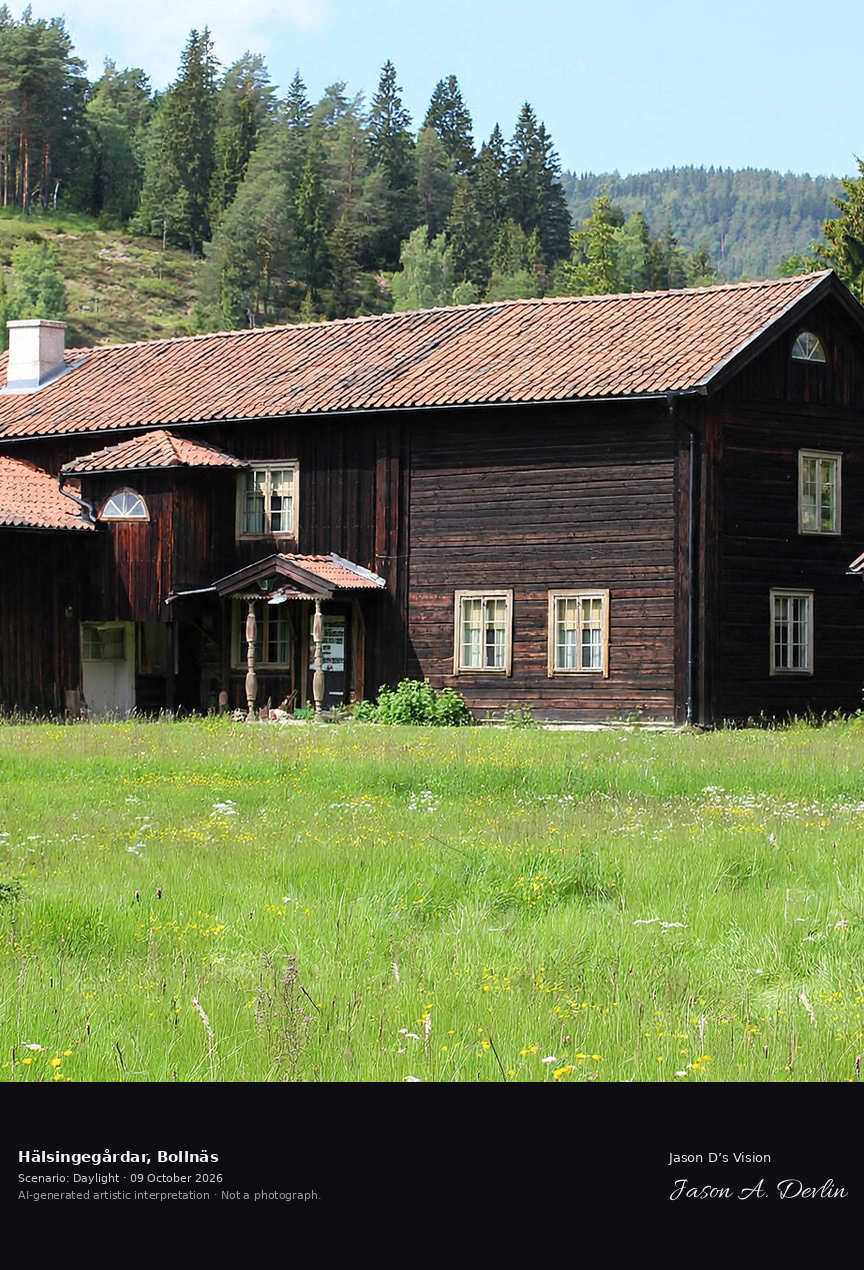
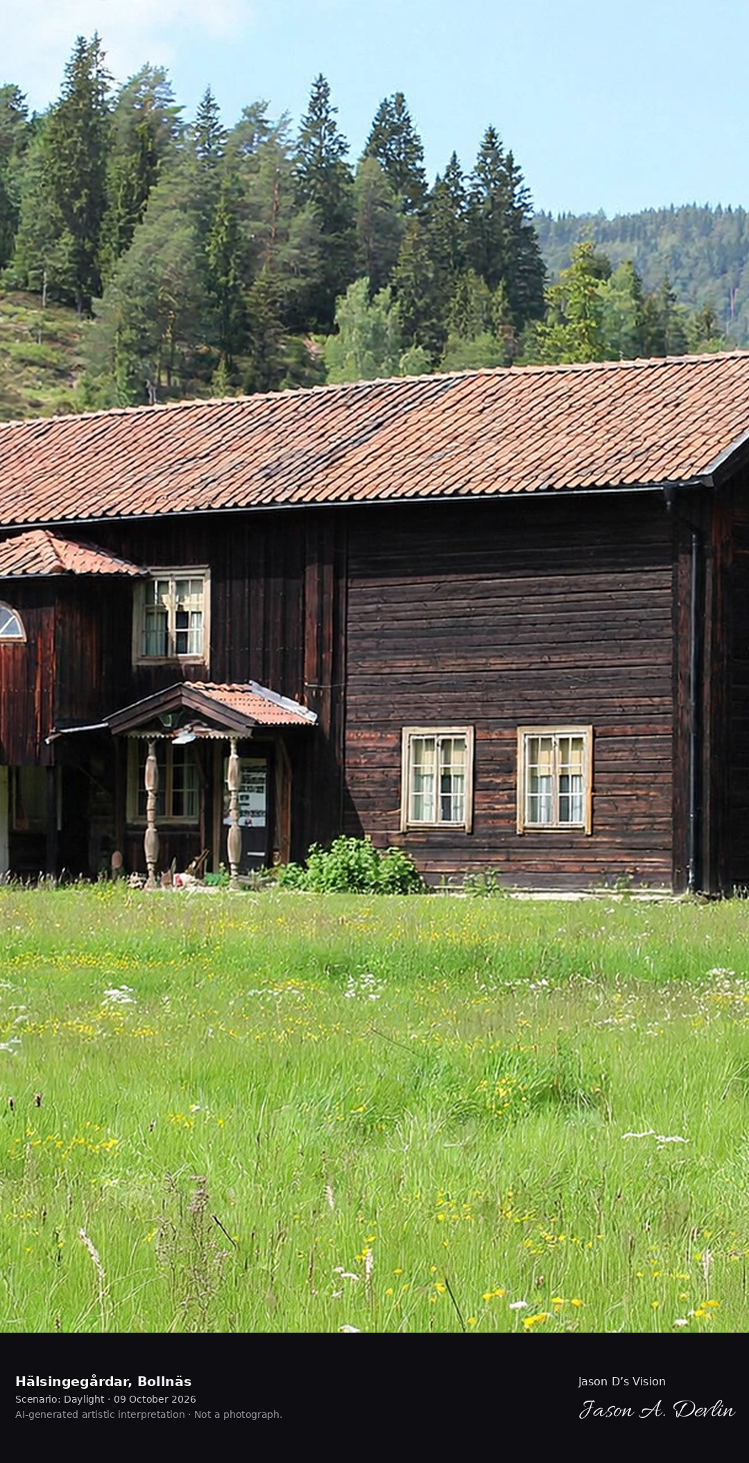
A Hälsingegård decorated farmhouse in Bollnäs, the UNESCO-listed painted farm with its grand timber buildings and folk-art interiors, the 'palaces of the farmers'.
A Hälsingegård decorated farmhouse in Bollnäs — the UNESCO-listed painted farm with its grand timber buildings and folk-art painted walls and shutters, the 'palaces of the farmers', all in bright natural daylight.
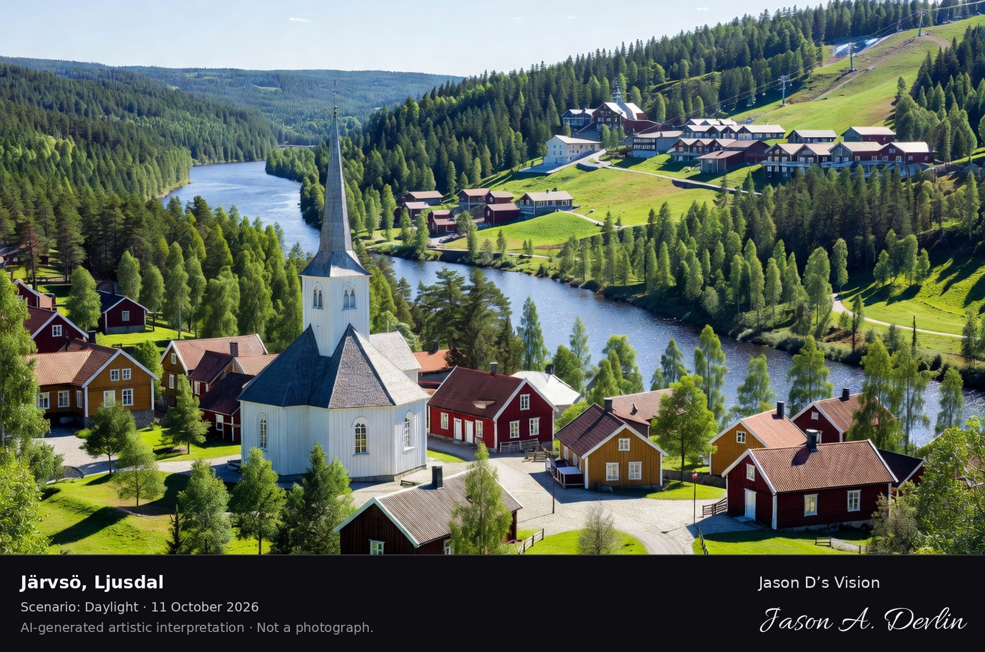
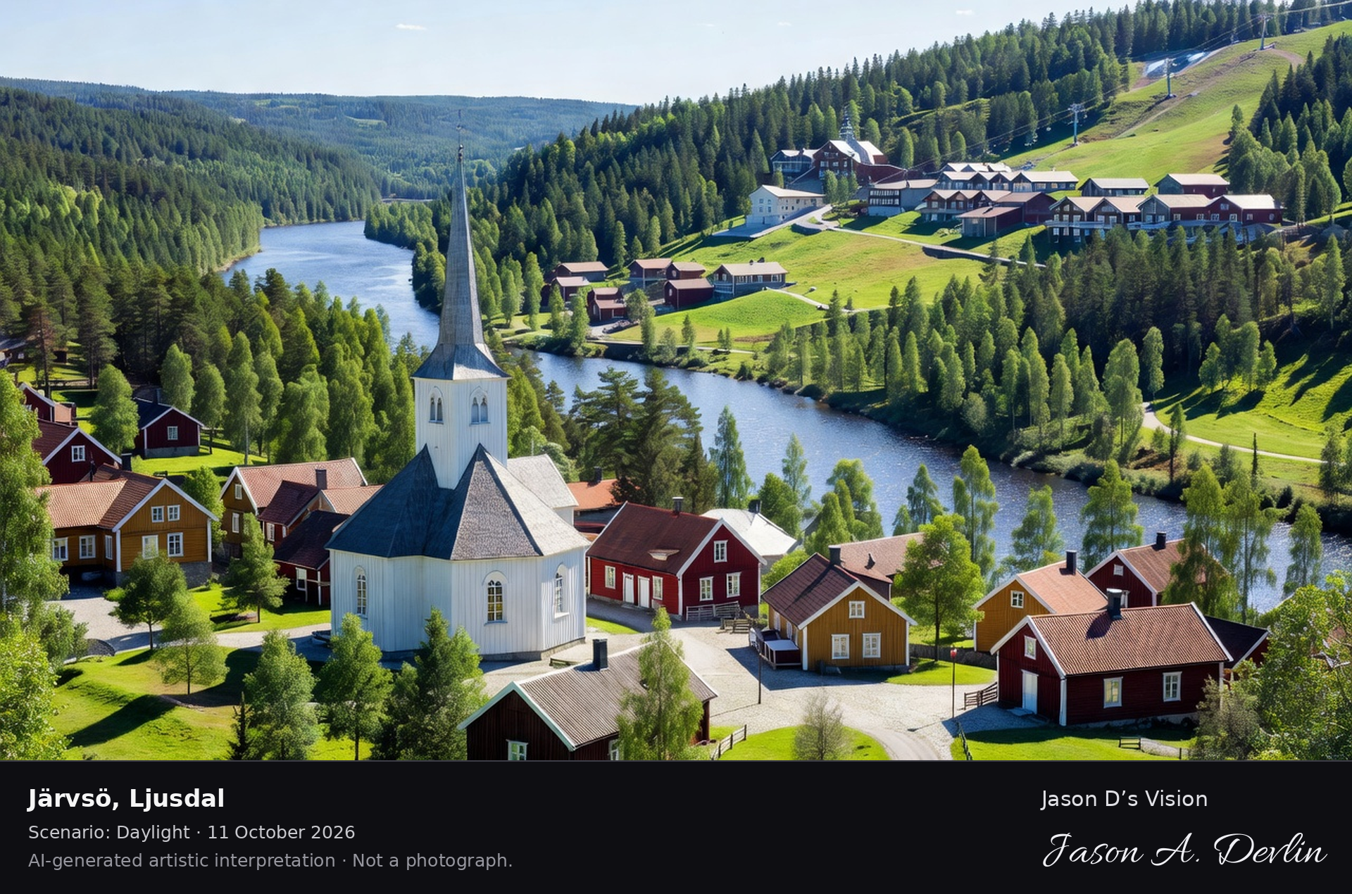
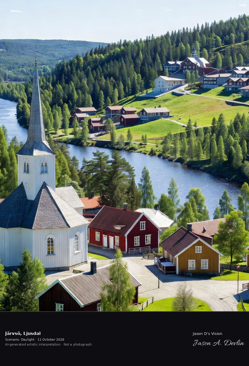
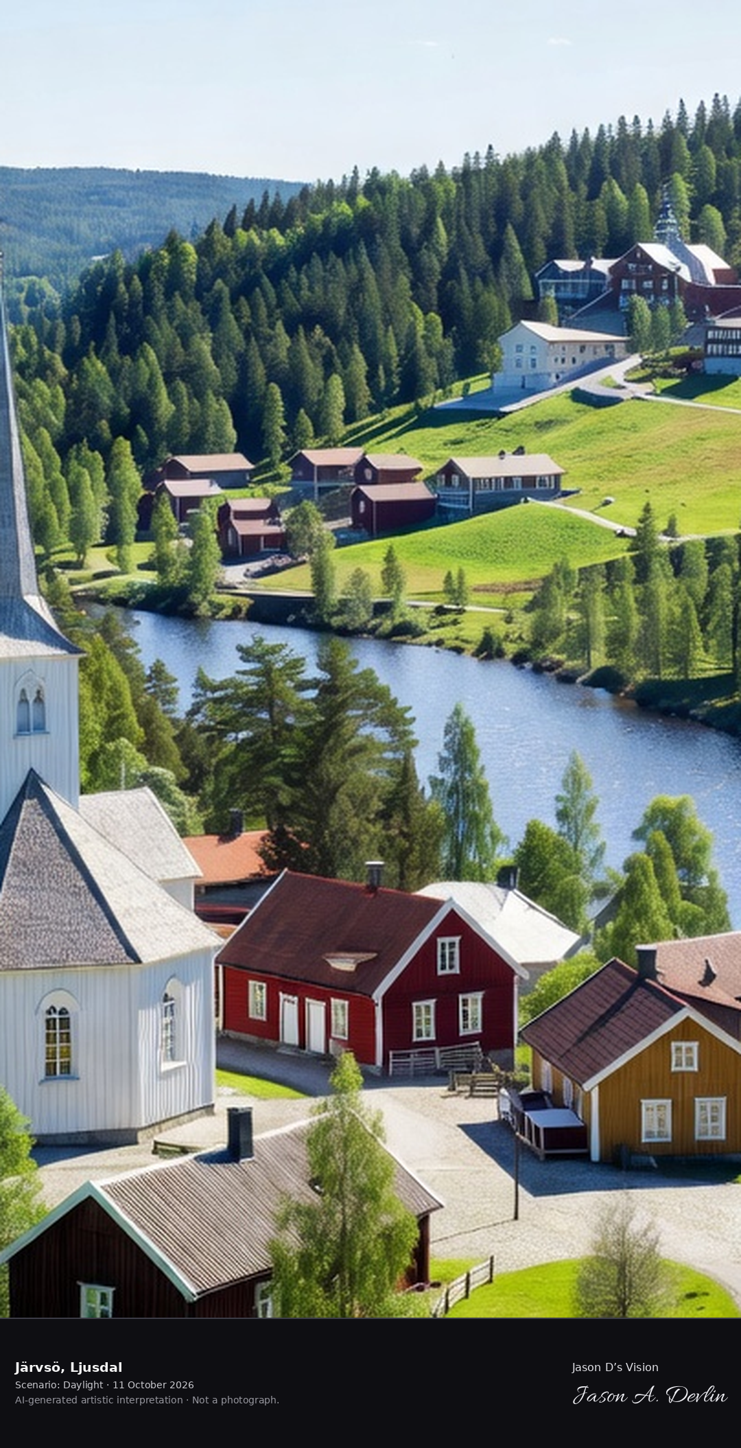
Järvsö's church and the Ljusnan river valley, the Hälsingland tourist village with its ski slopes and the historic church town on the hillside.
Järvsö's church town in Ljusdal — the white church with its tall spire above the Ljusnan river valley, the Hälsingland tourist village with its ski slopes rising behind the hillside church town, all in bright natural daylight.
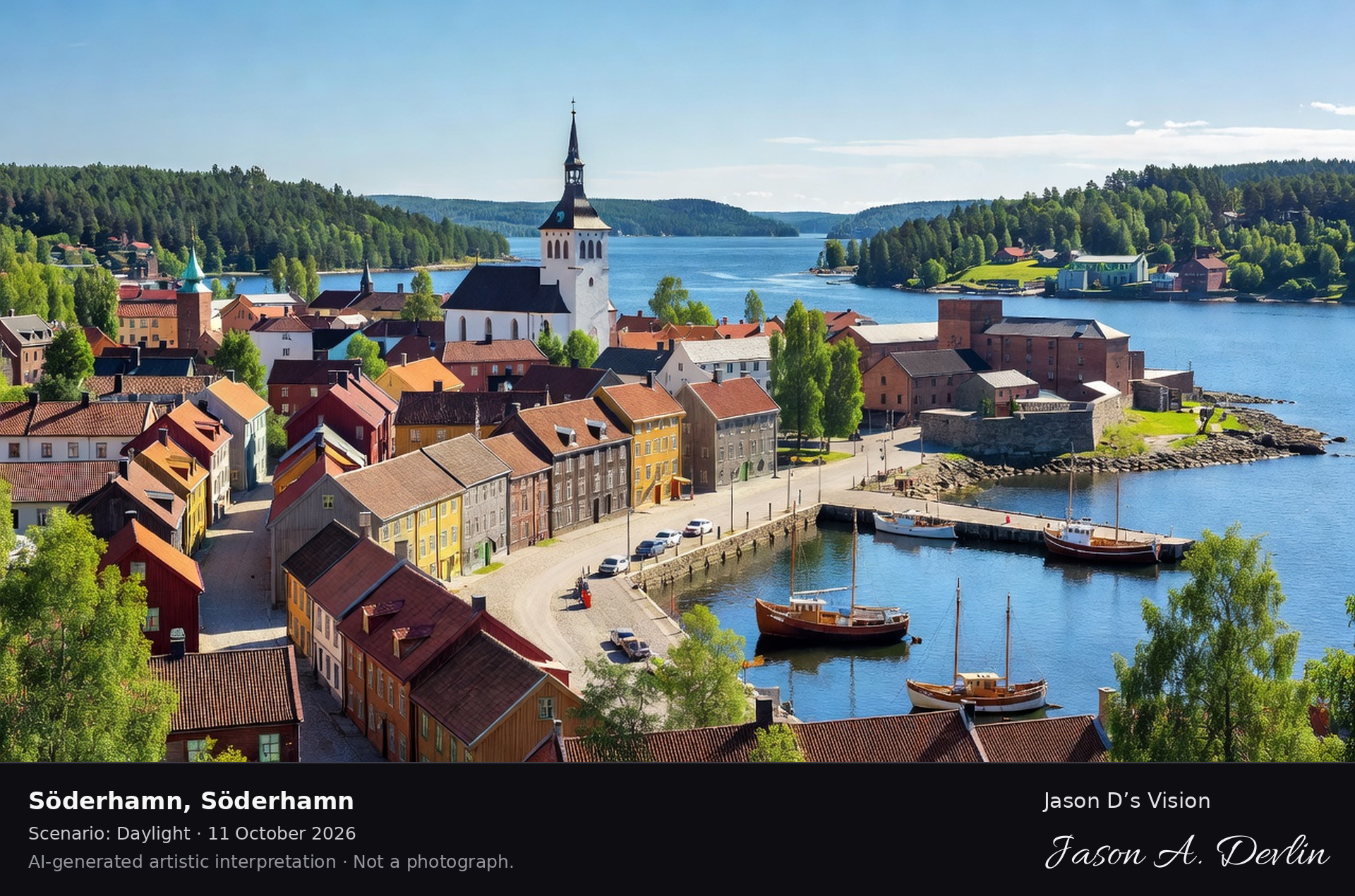
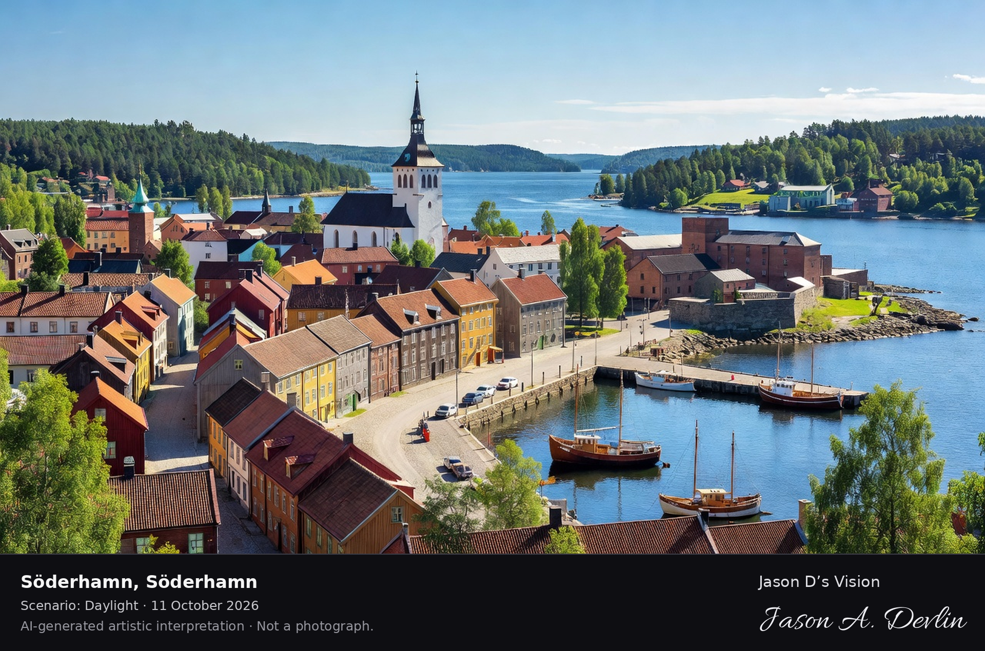
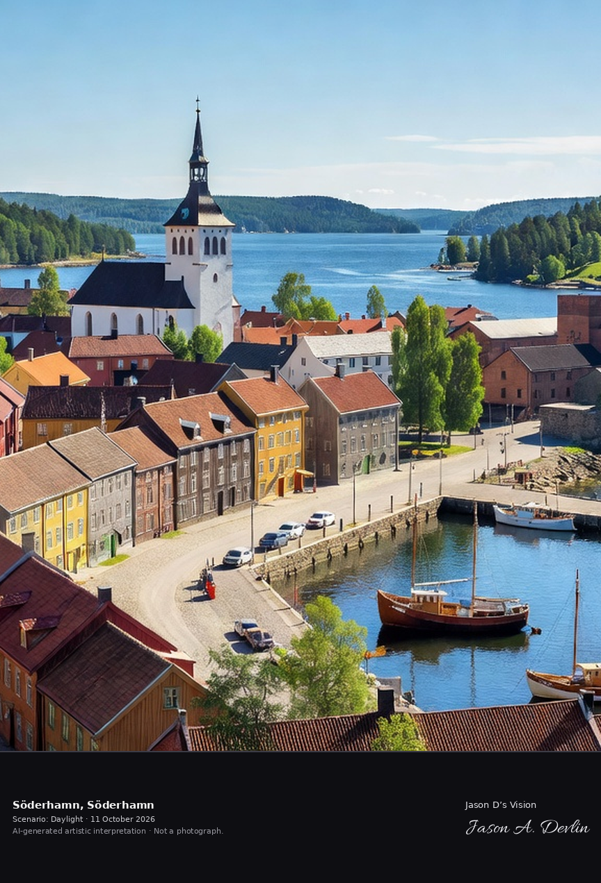
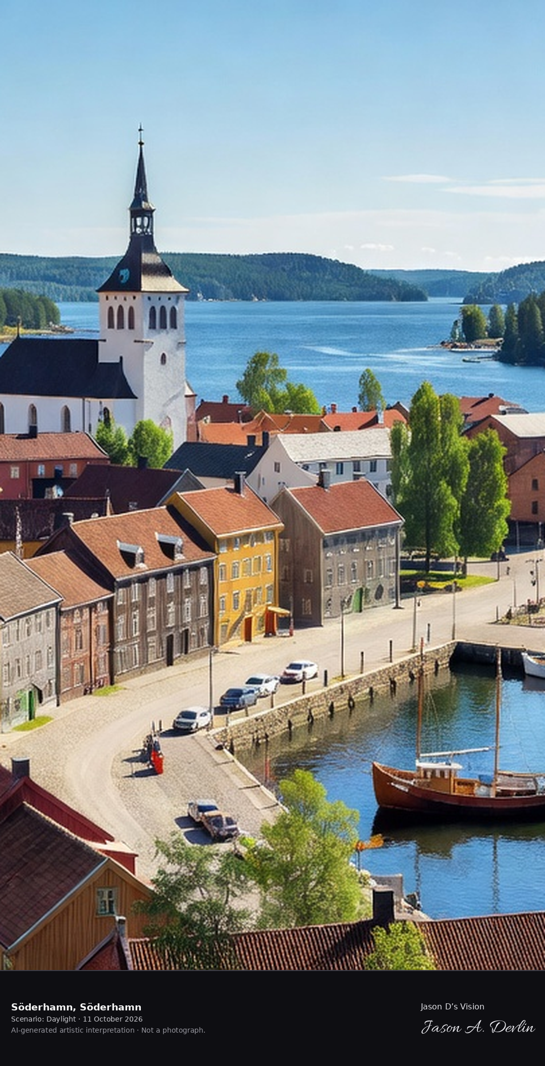
Söderhamn's 17th-century town plan with the Ulrika Eleonora church and the harbor on the Bothnian Sea, the historic arms-manufacturing town.
Söderhamn's historic centre in Hälsingland — the Ulrika Eleonora church with its tall spire over the 17th-century grid of colourful wooden houses and stone merchant buildings, with the working harbor on the Bothnian Sea, all in bright natural daylight.
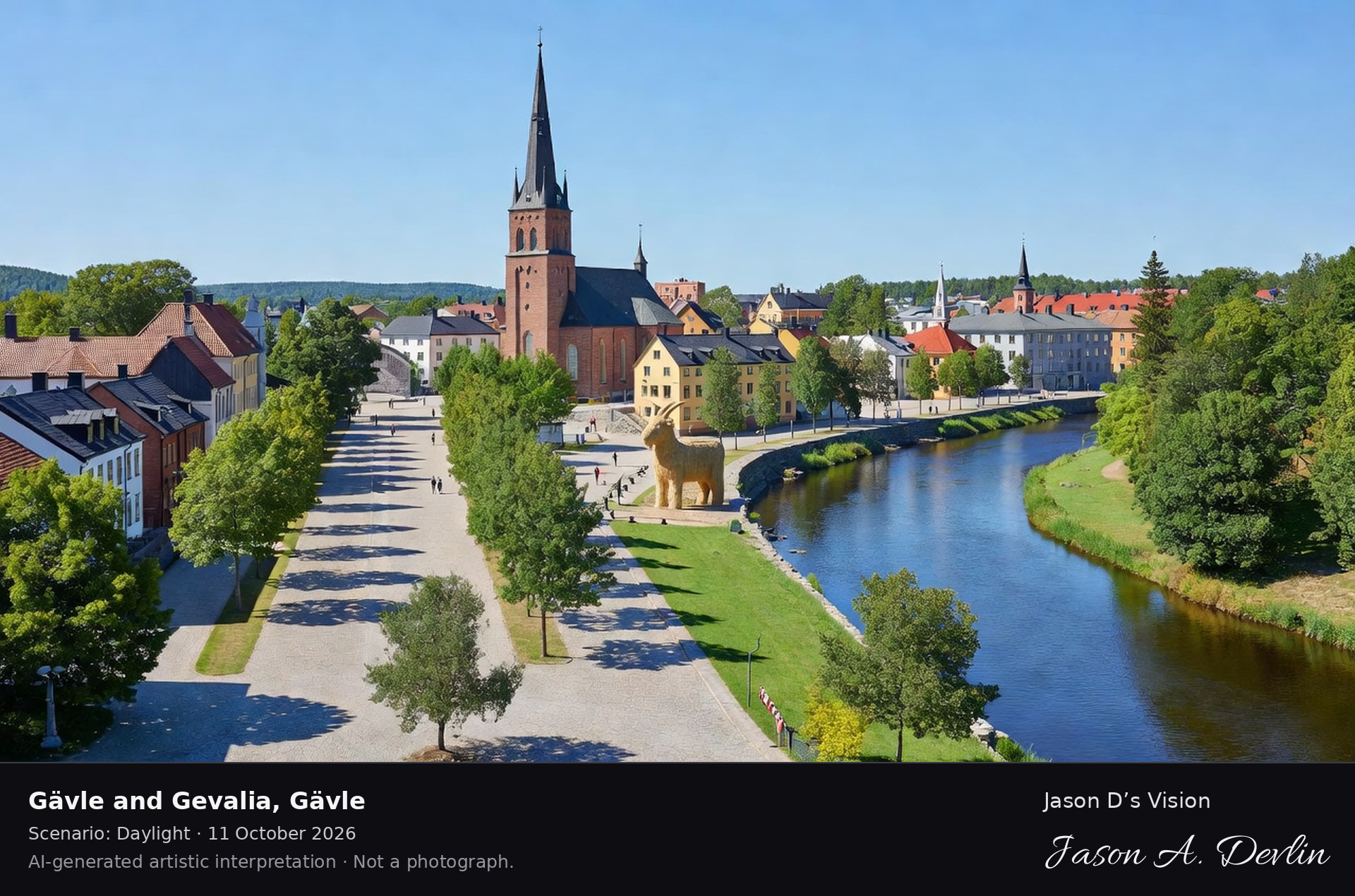
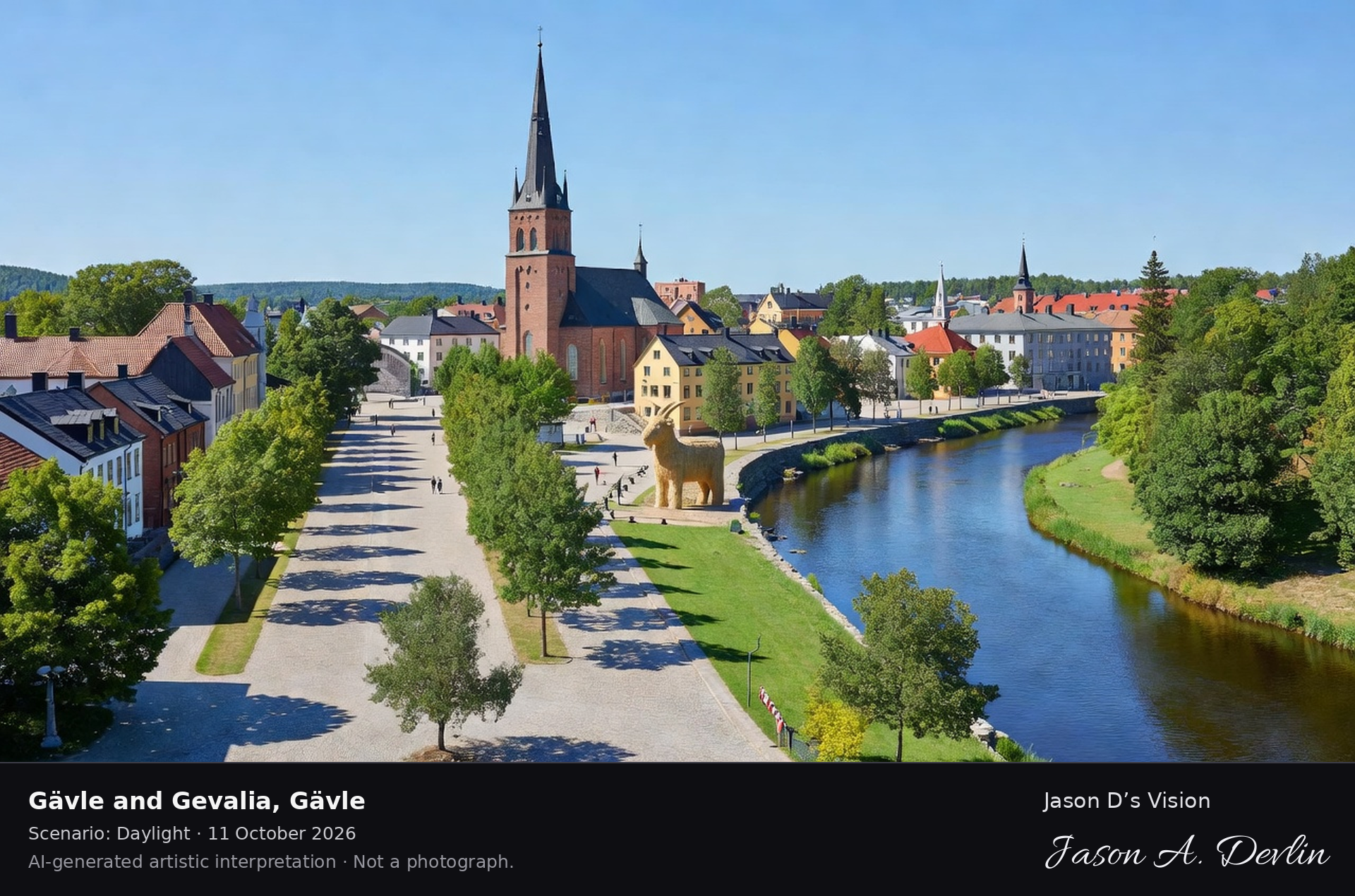
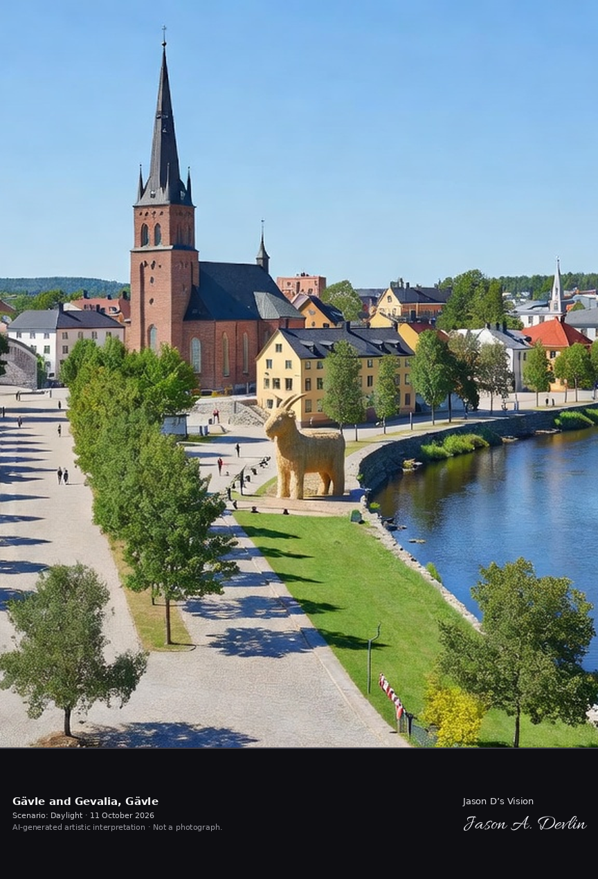
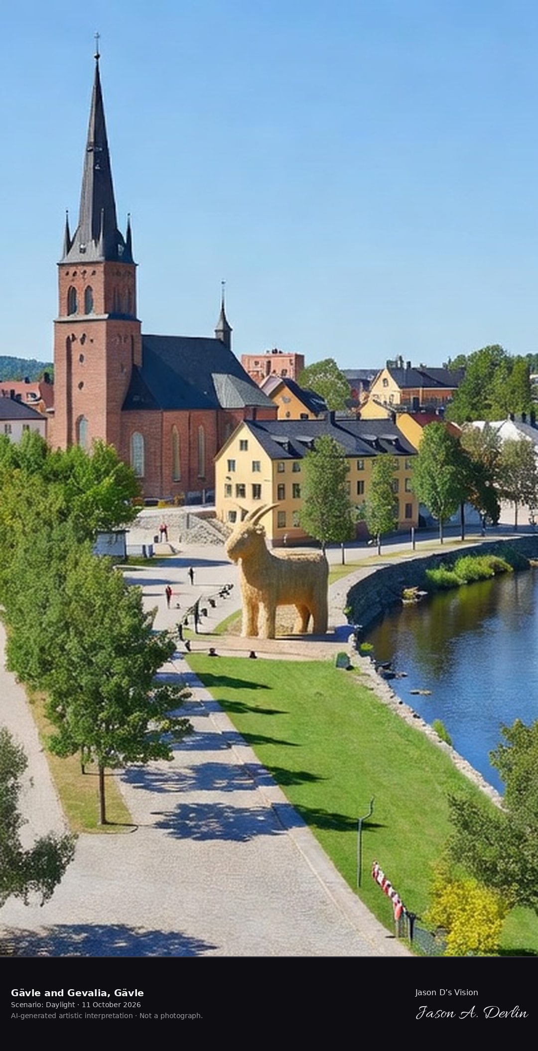
Gävle's historic center with the Heliga Trefaldighet church and the Gavleån river, the famous Gävle Goat's town with its 19th-century esplanades.
Gävle's historic centre in Gästrikland — the Heliga Trefaldighet church with its tall spire beside the curving Gavleån river, the giant straw Gävle Goat sculpture on the riverside, and the tree-lined 19th-century esplanade, all in bright natural daylight.
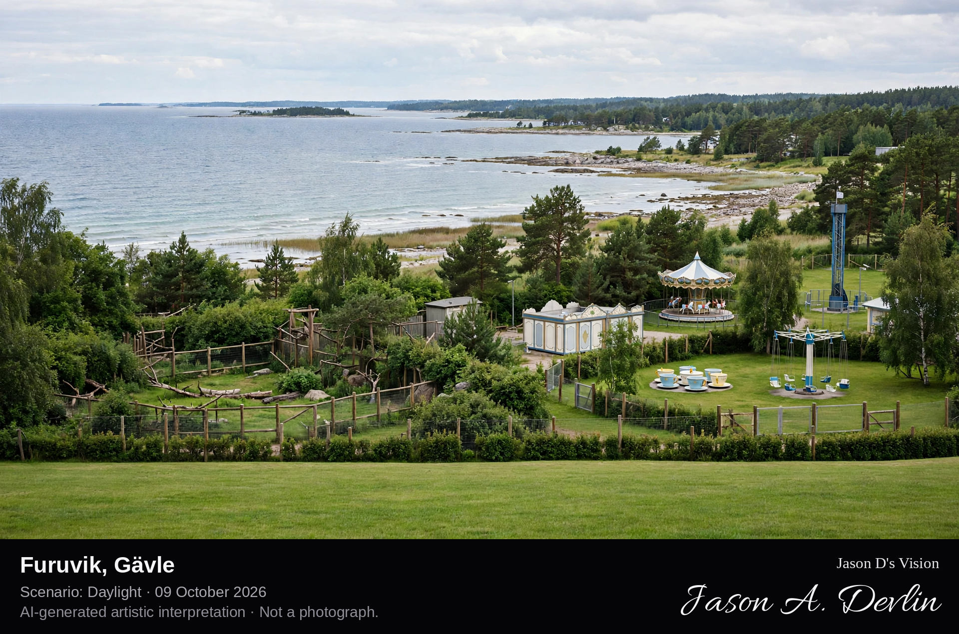
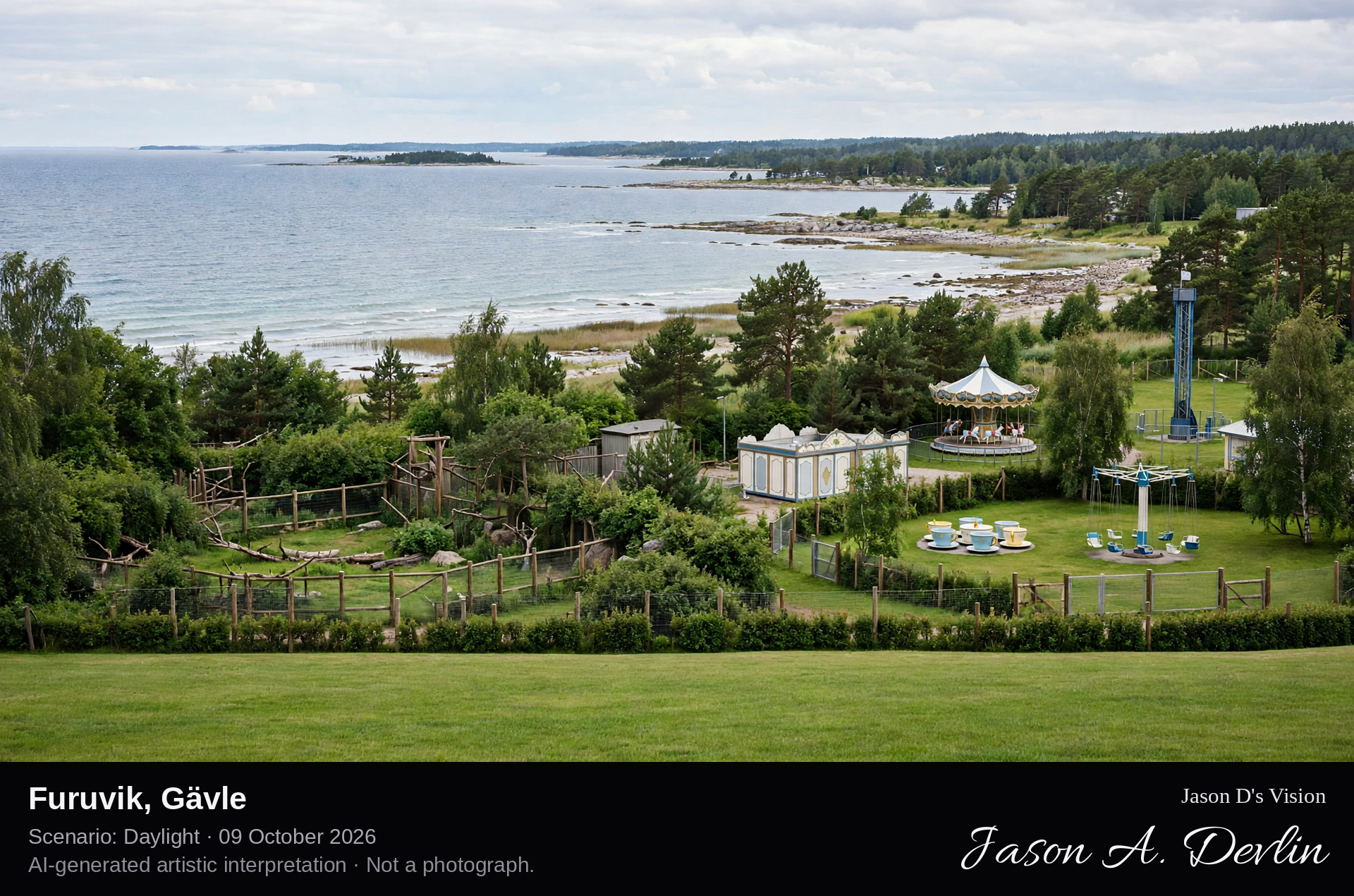
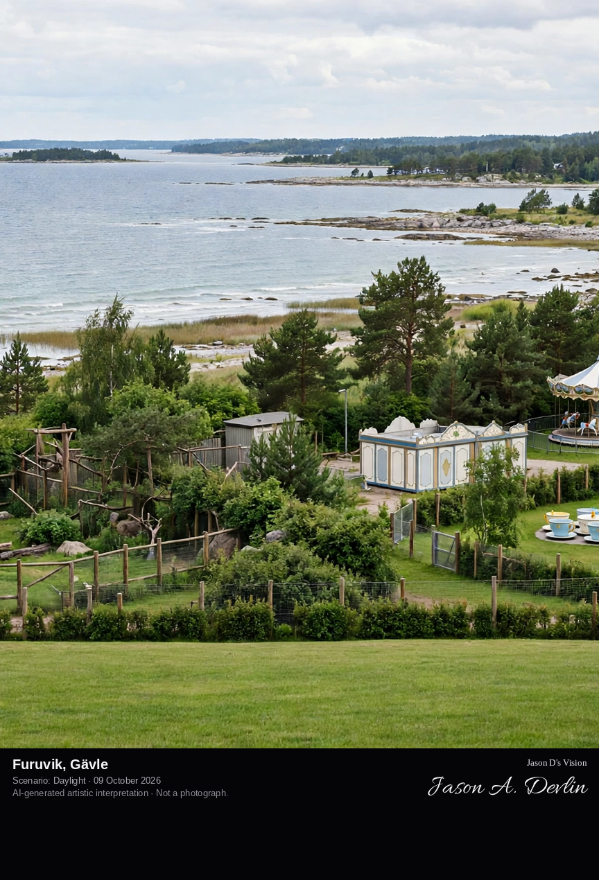
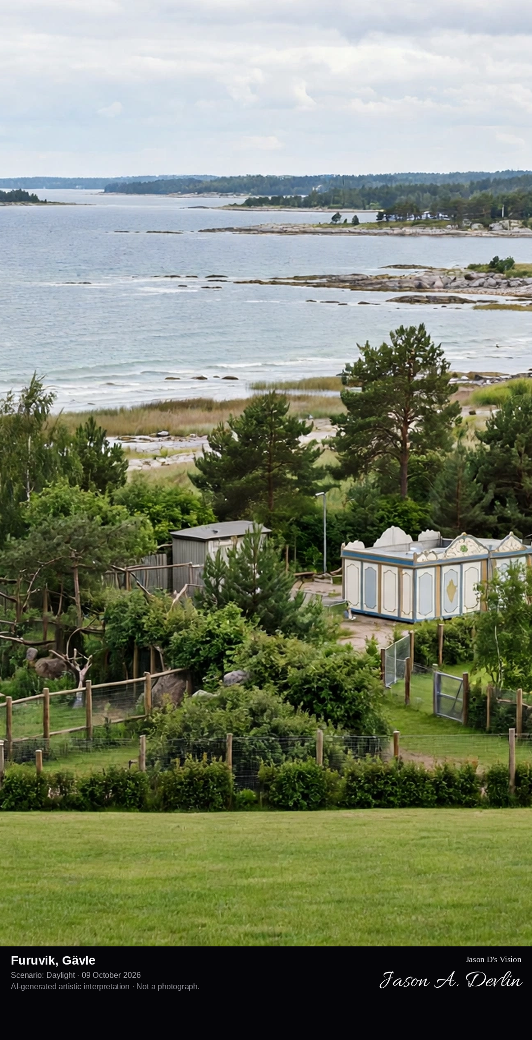
Furuvik's seaside amusement park and zoo on the Bothnian coast outside Gävle, the historic 1900s park with its vintage rides and the sea beyond.
Furuvik's seaside amusement park on the Bothnian coast outside Gävle — the vintage carousel, the wooden rollercoaster sweeping through the pines, and the Ferris wheel rising against the open sea beyond the rocky shoreline, all in bright natural daylight.
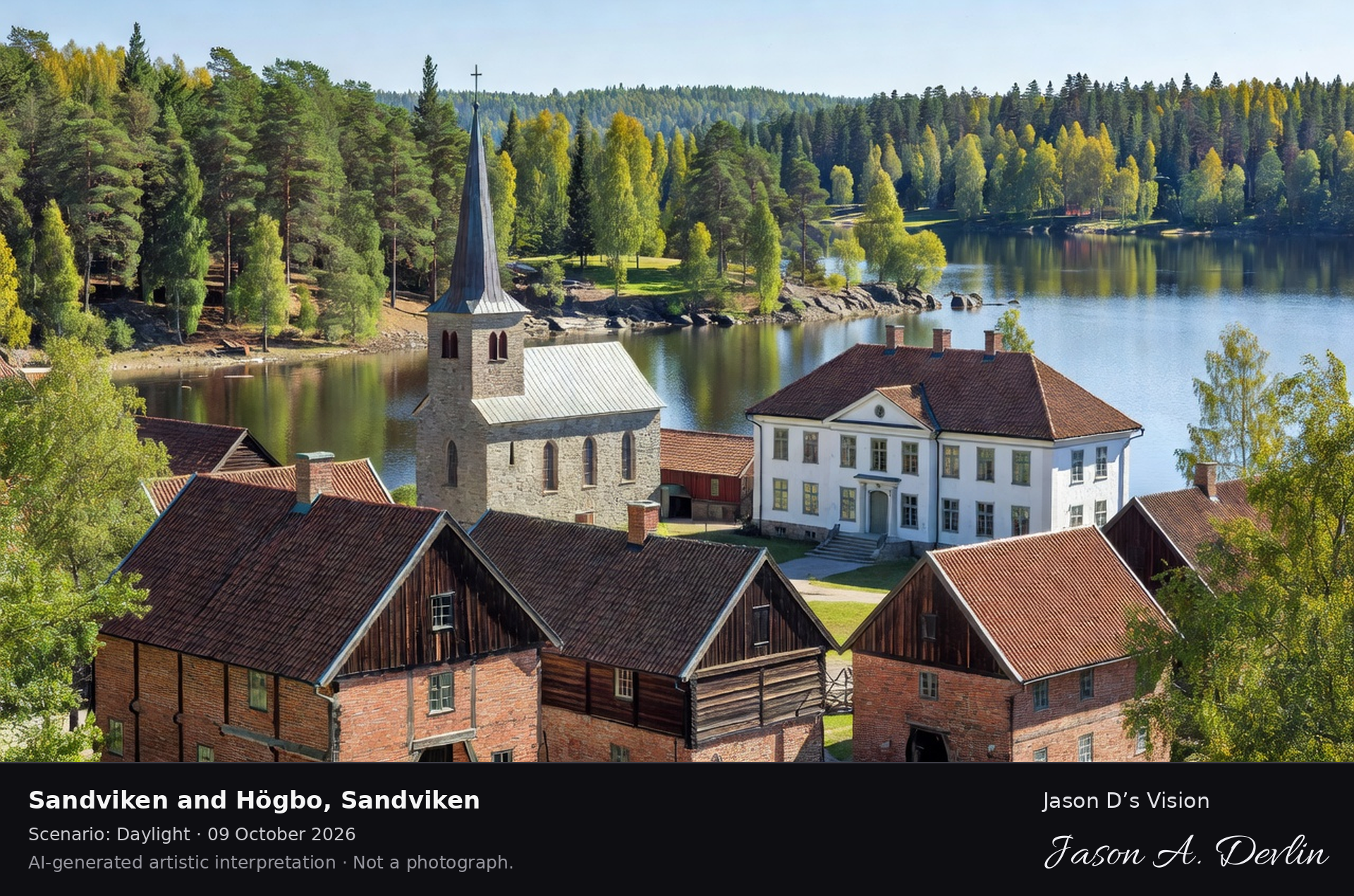
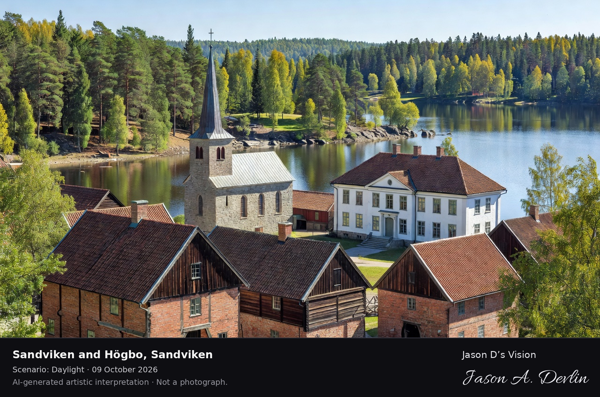
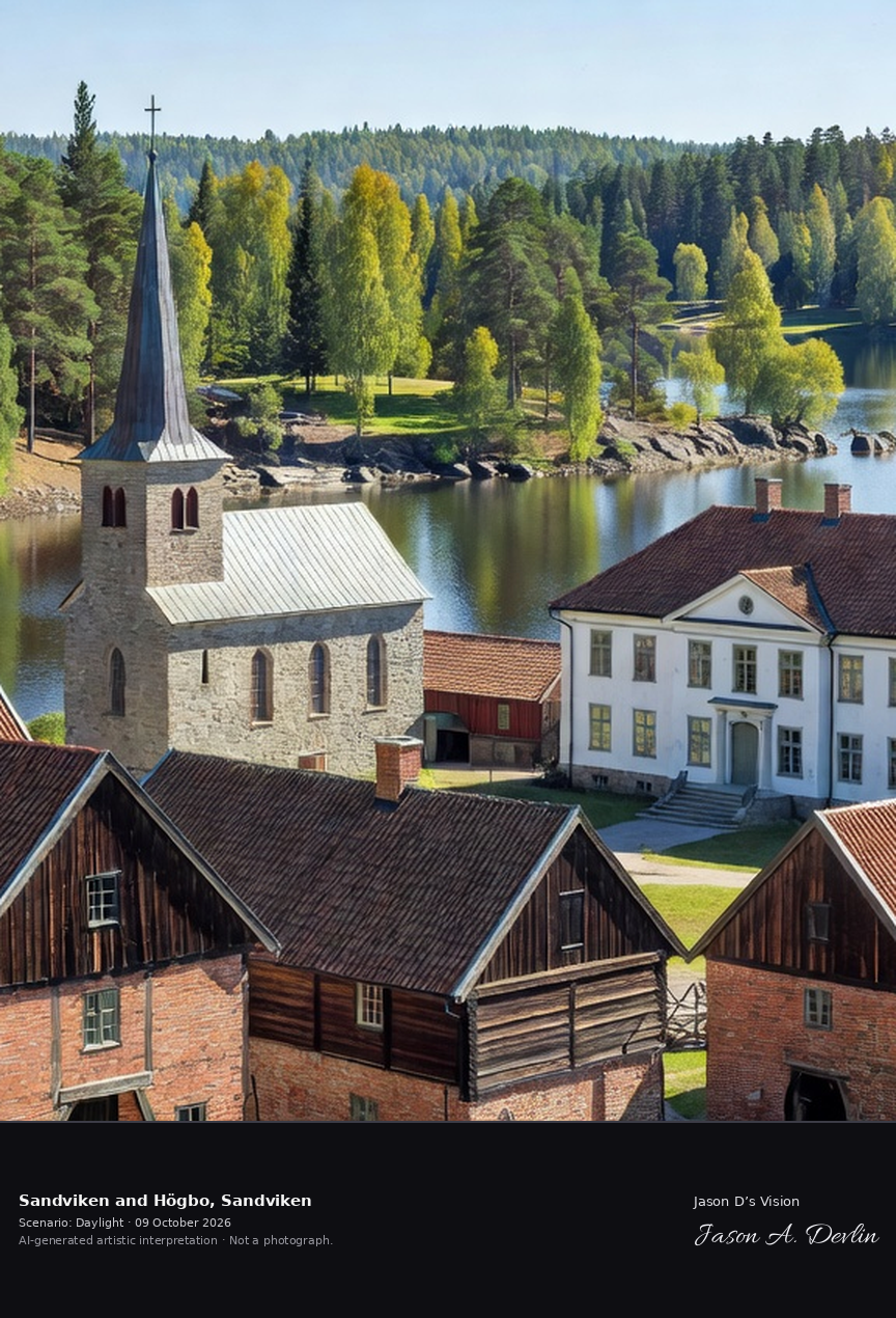
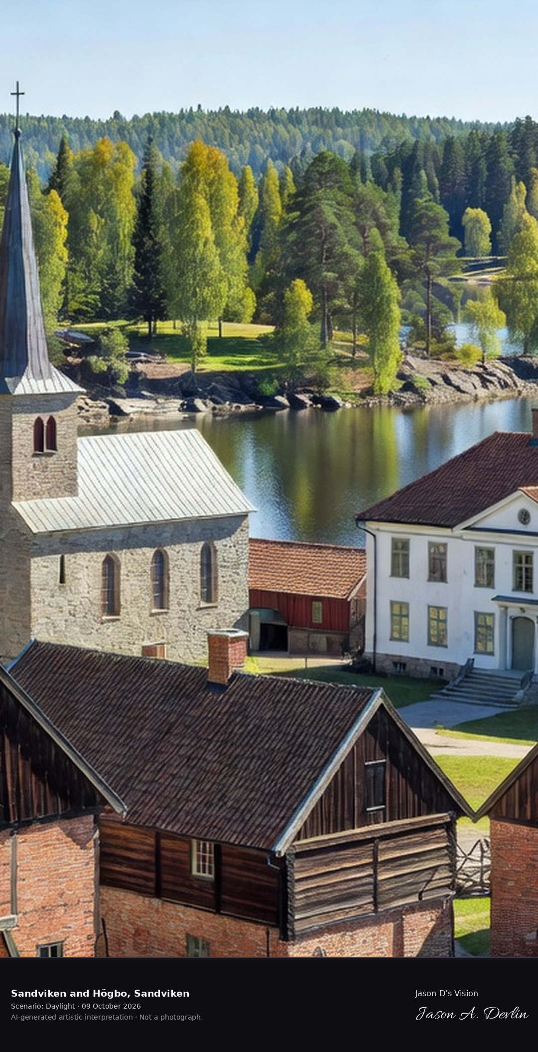
Högbo Bruk's historic ironworks village outside Sandviken, the preserved 17th-century works with its manor, church and the lake, in the Gästrikland forest.
Högbo Bruk's historic ironworks village outside Sandviken — the red-brick and timber works buildings with tiled roofs, the stone church with its tall slate spire, the white manor house, and the still lake in the Gästrikland forest, all in bright natural daylight.
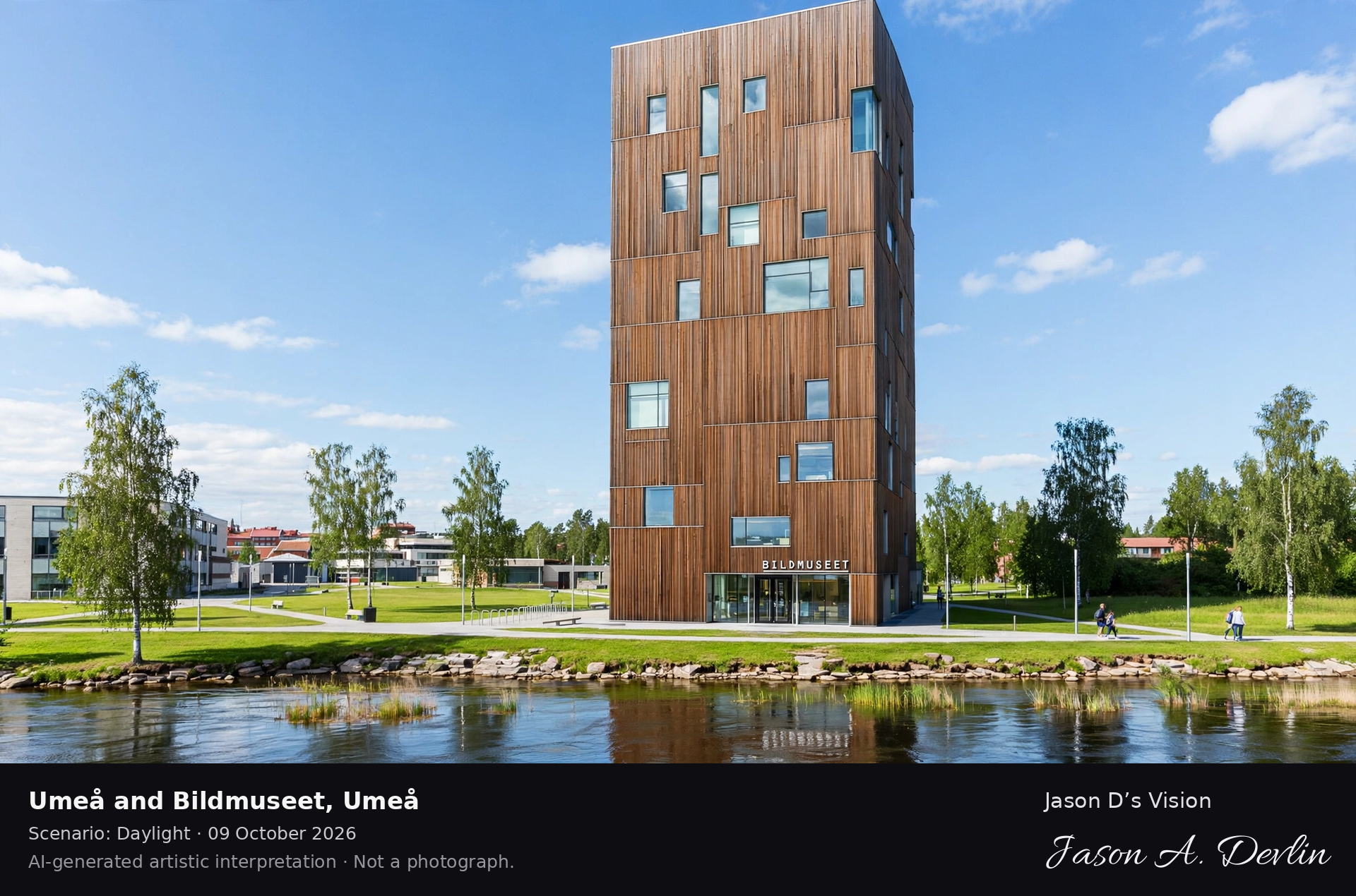
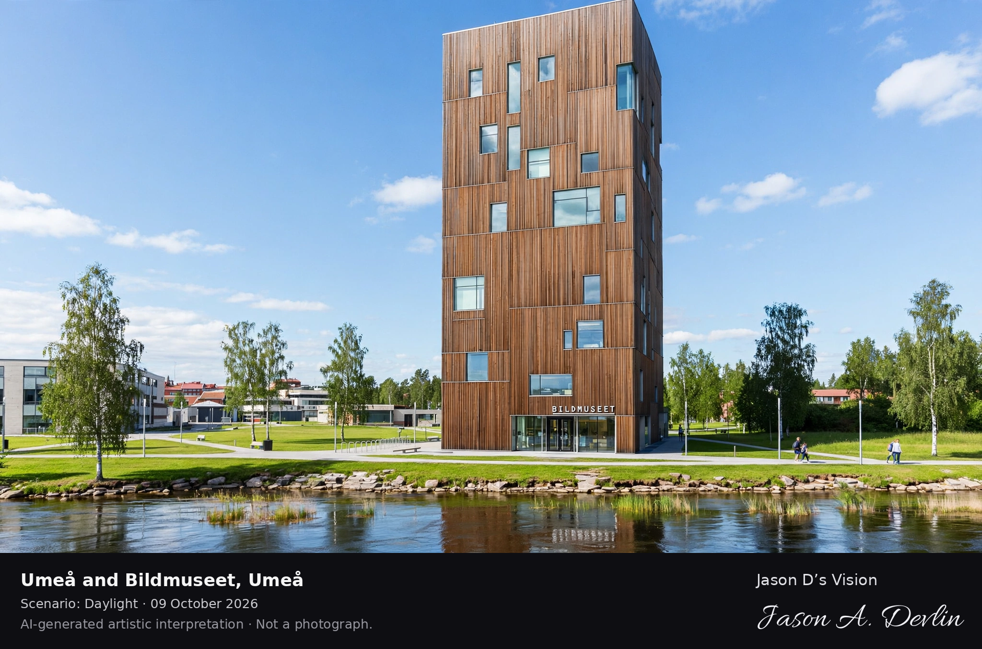
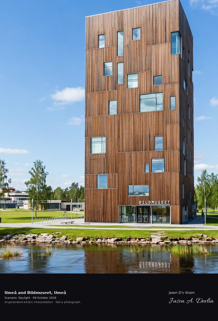
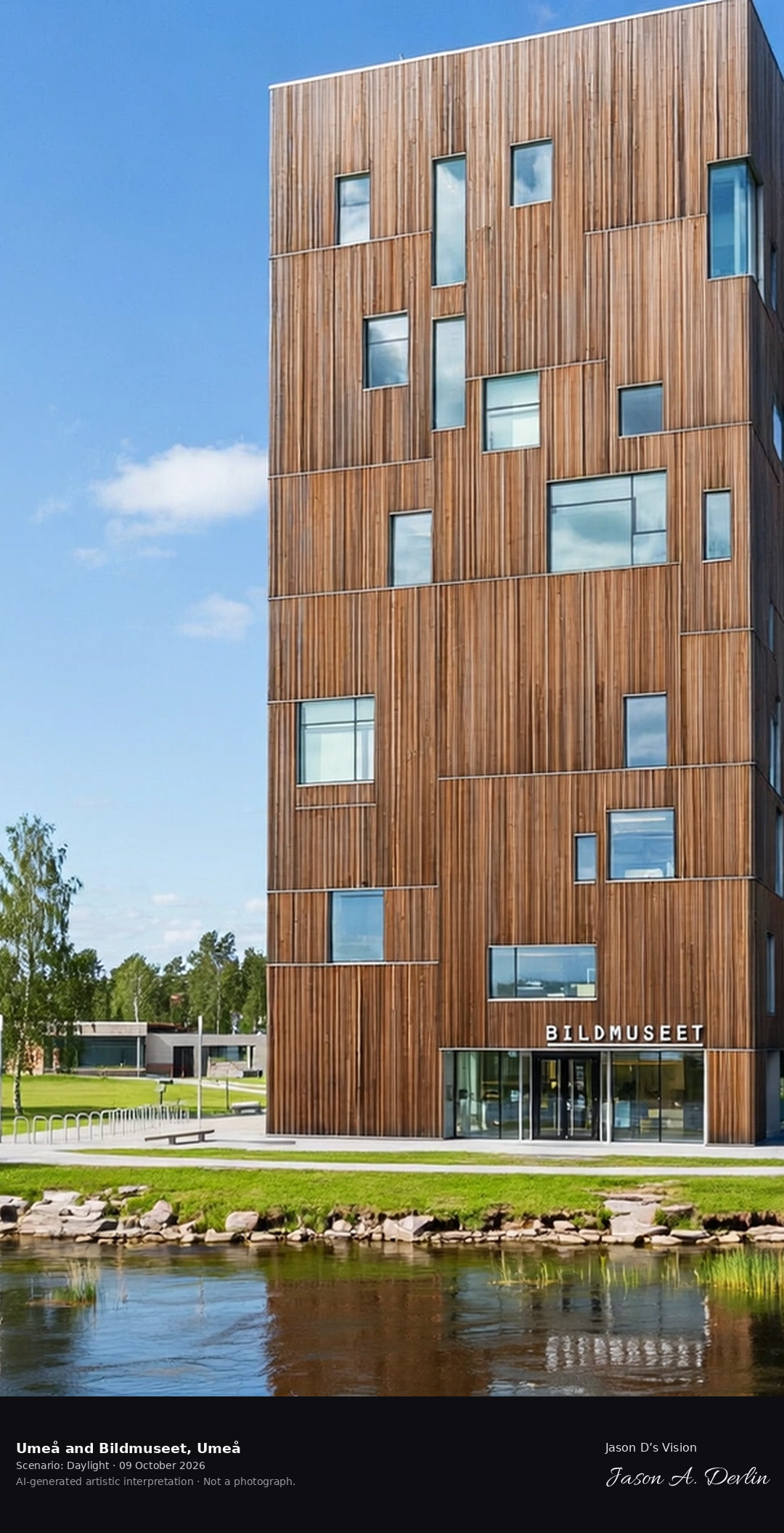
Umeå's Bildmuseet contemporary art museum on the Ume River campus, the white cube with its distinctive window pattern above the northern river, in the City of Birches.
Umeå's Bildmuseet contemporary art museum on the Ume River campus — the white cube with its distinctive window pattern rising above the northern river, reflected in the water among the birch groves of the City of Birches, all in bright natural daylight.
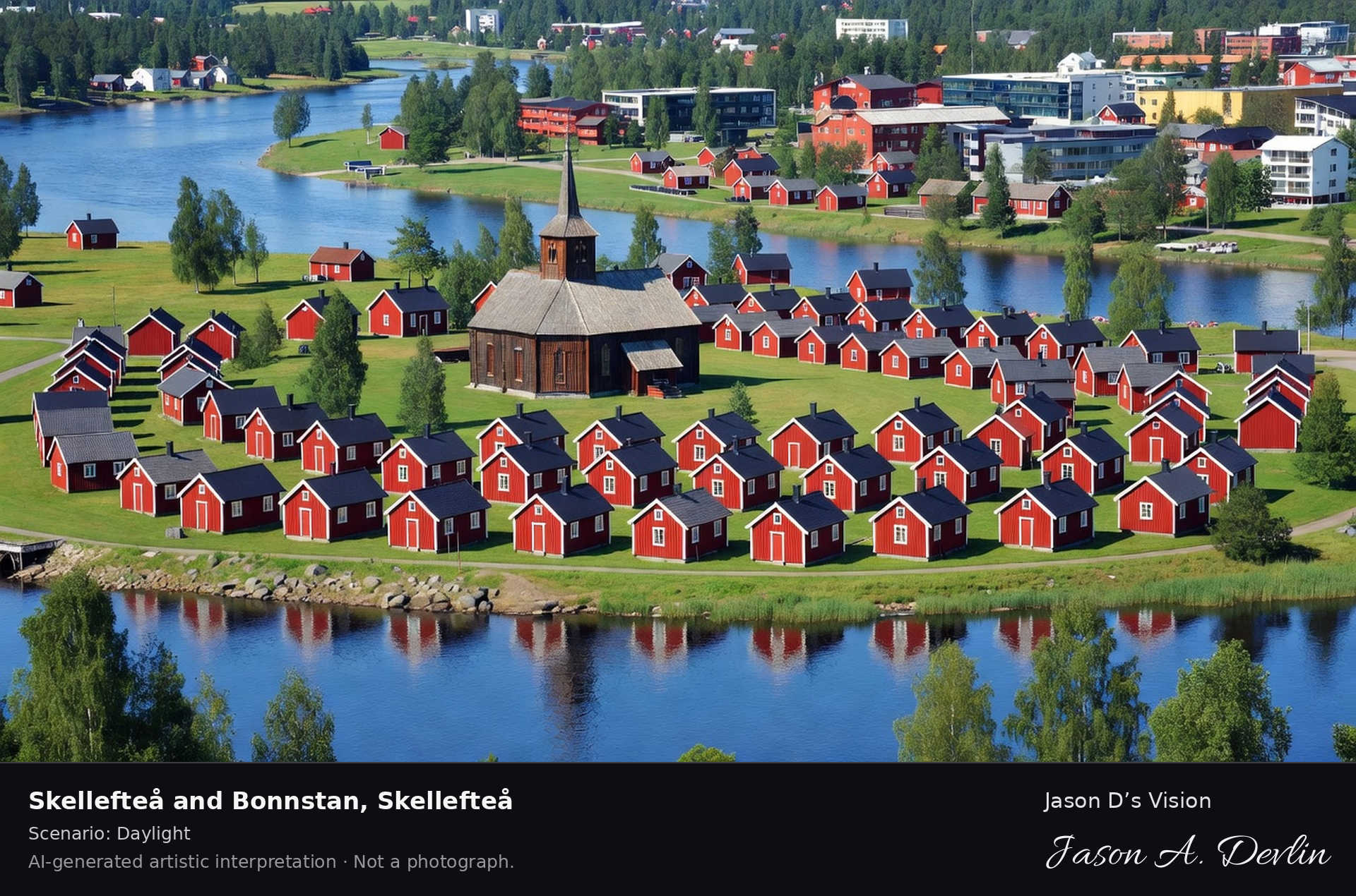
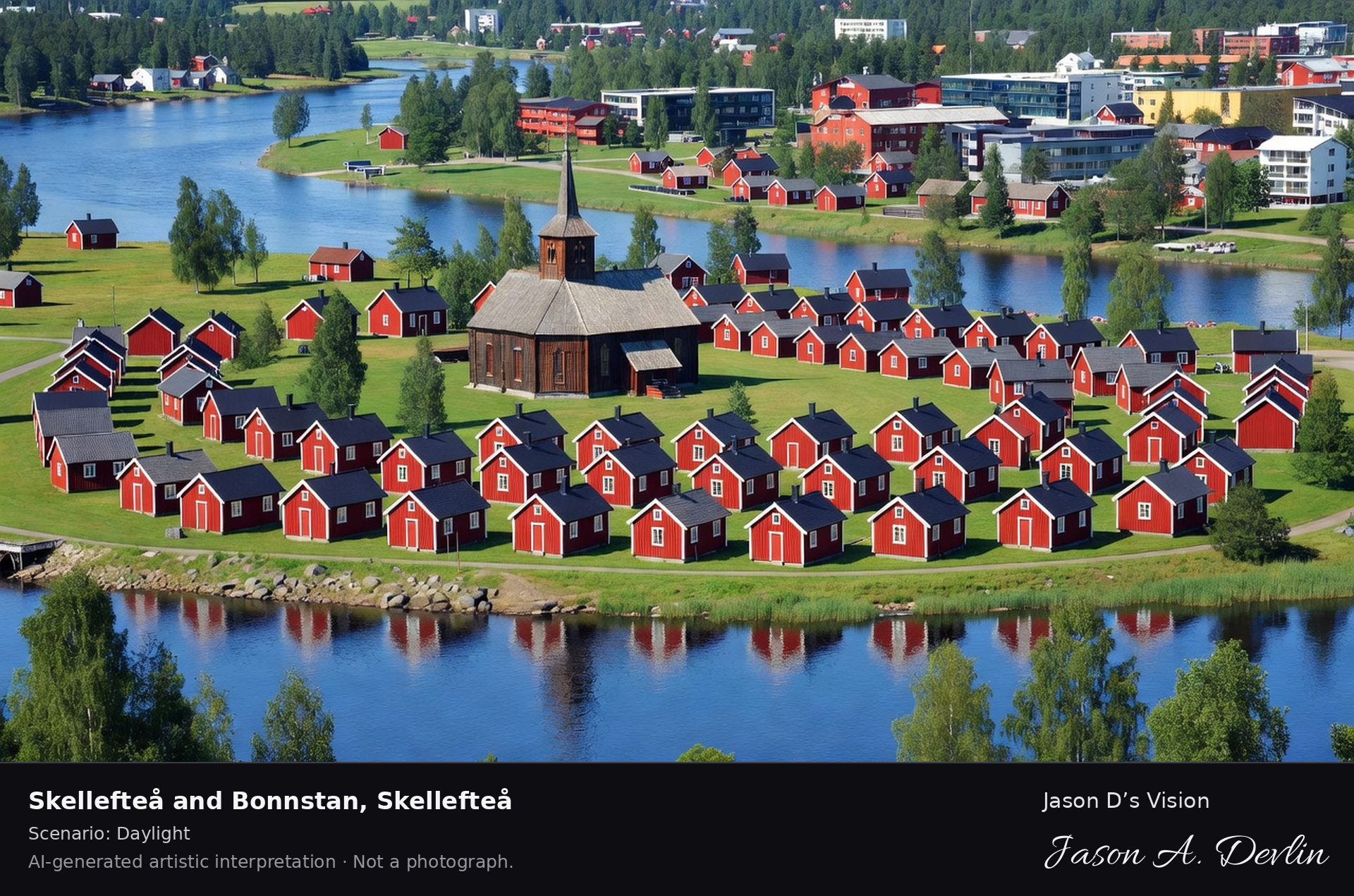
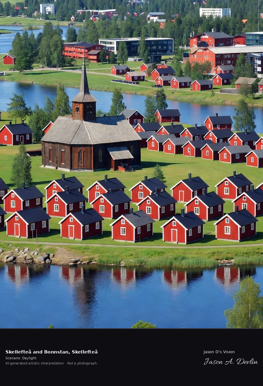
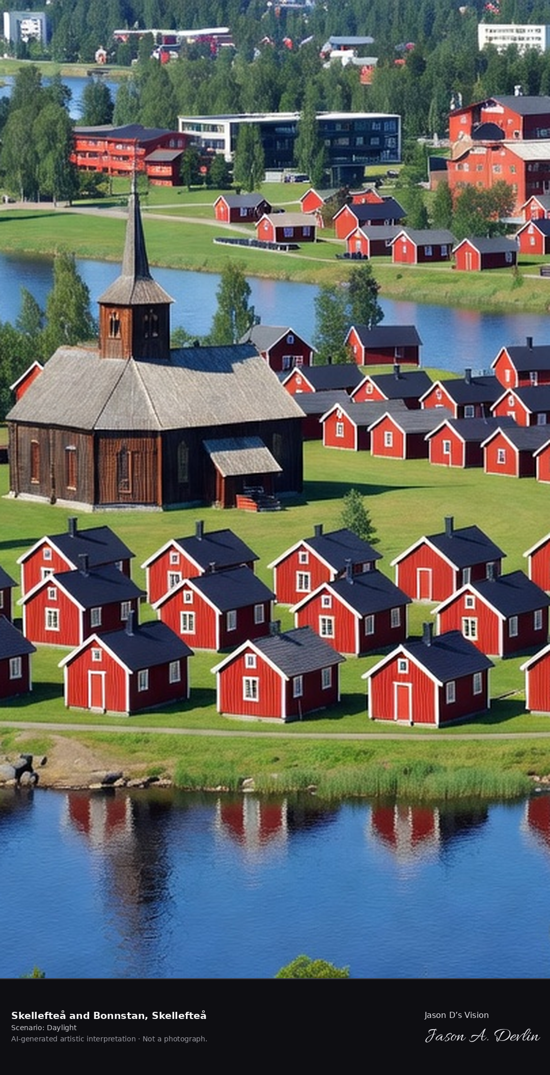
Bonnstan church town in Skellefteå, 116 red cottages around the 18th-century church on the Skellefte River, the northern church town tradition in Västerbotten.
Around the 18th-century church at Bonnstan in Skellefteå stand 116 red cottages of the church town. They stand on the Skellefte River, part of the northern church town tradition in Västerbotten, in bright natural daylight.
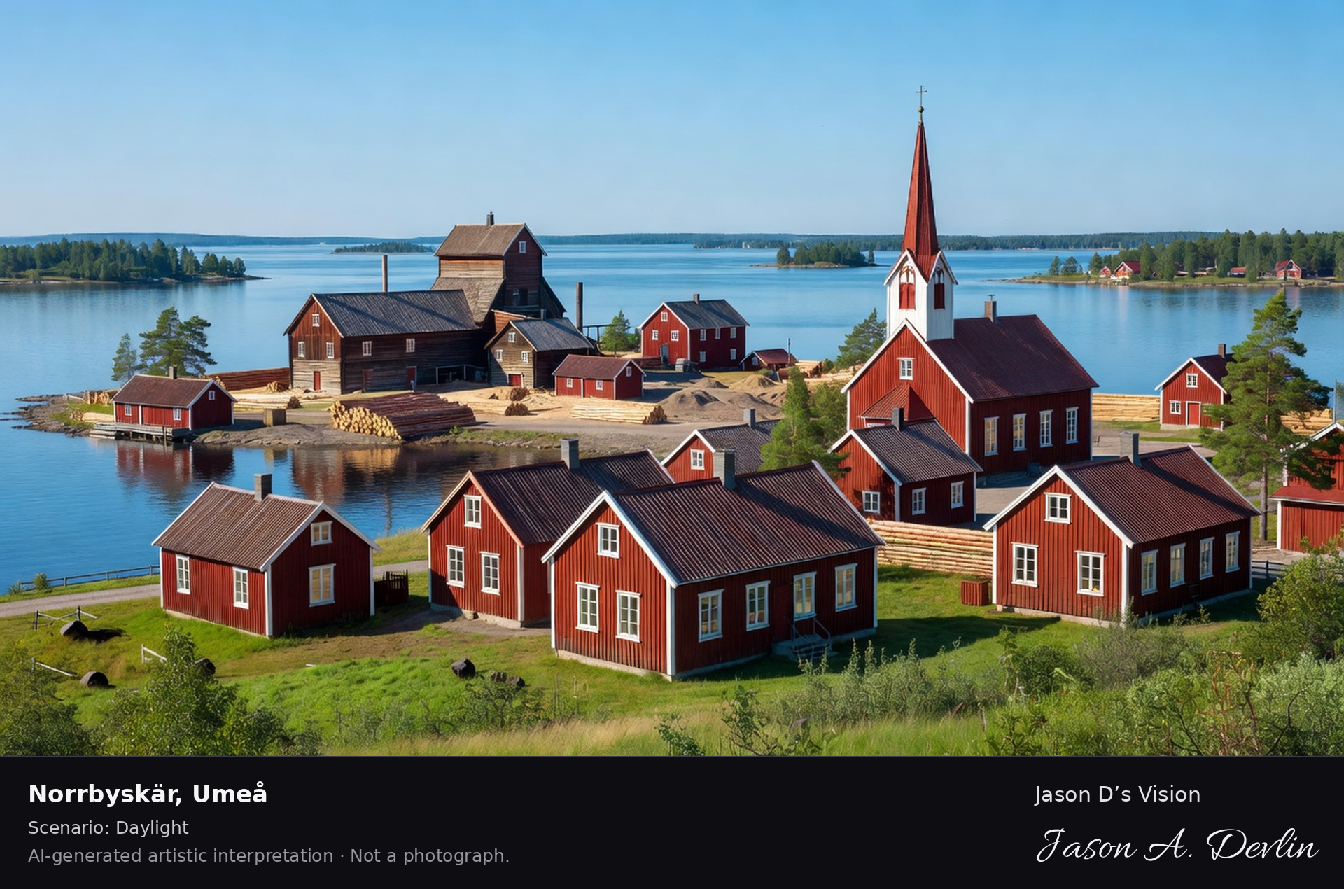
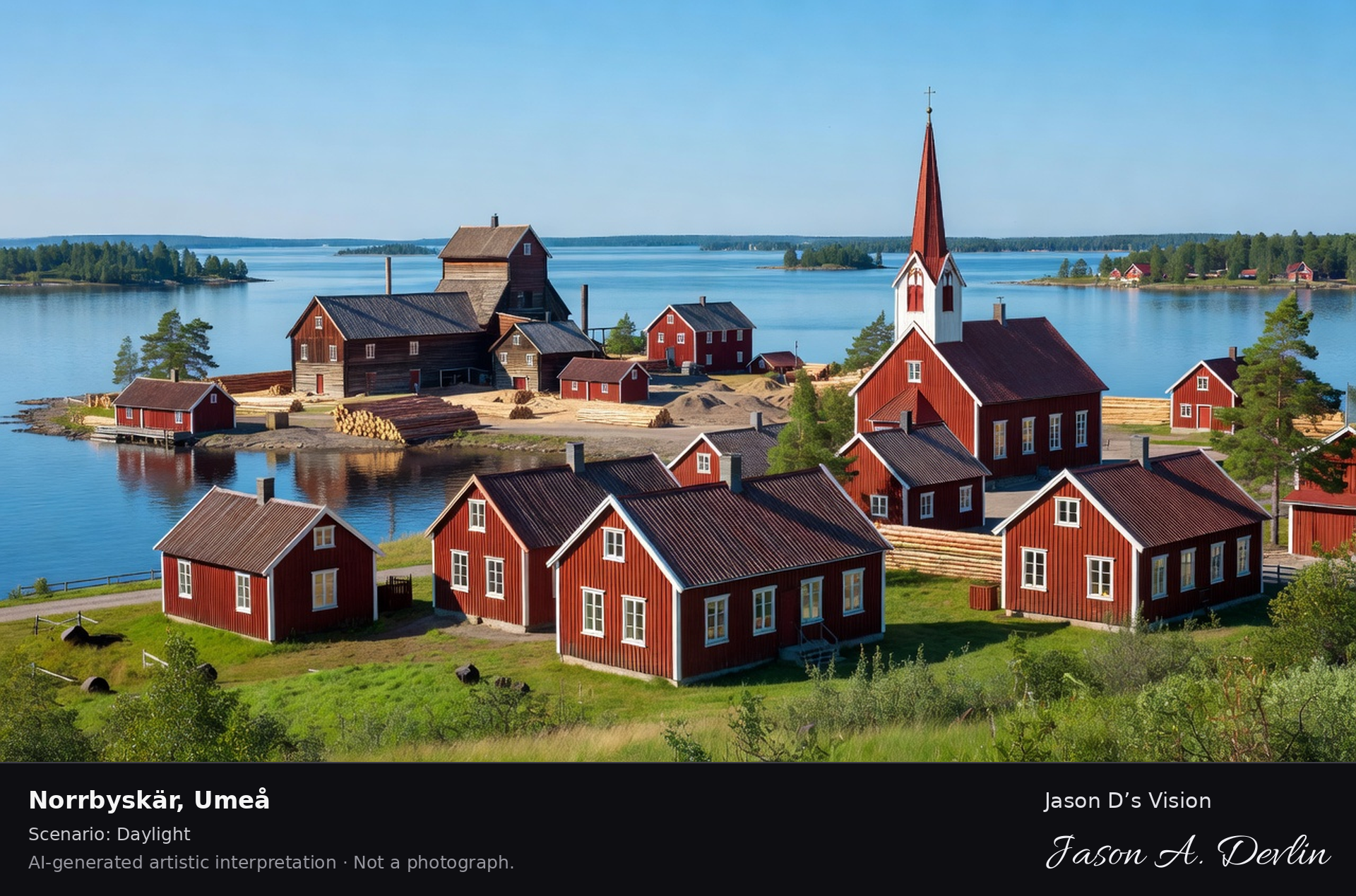
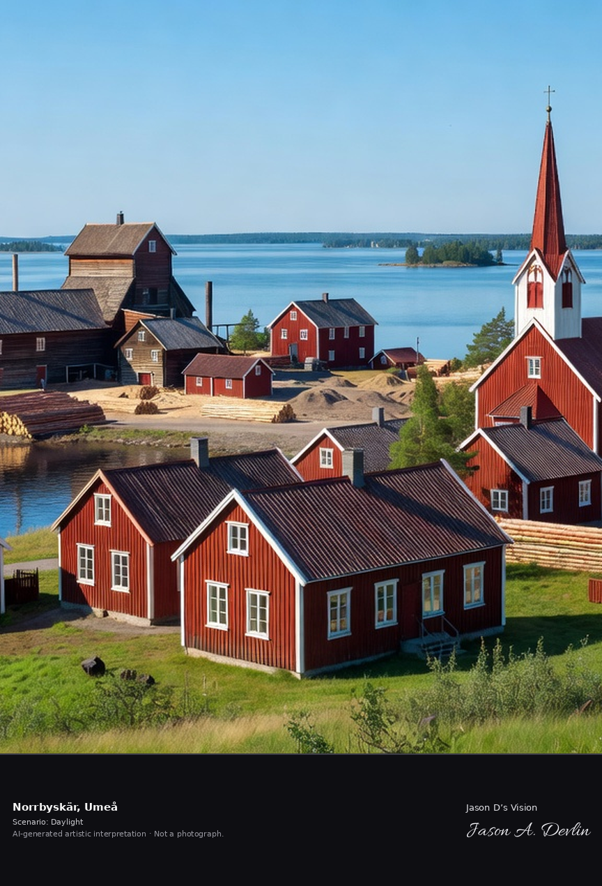
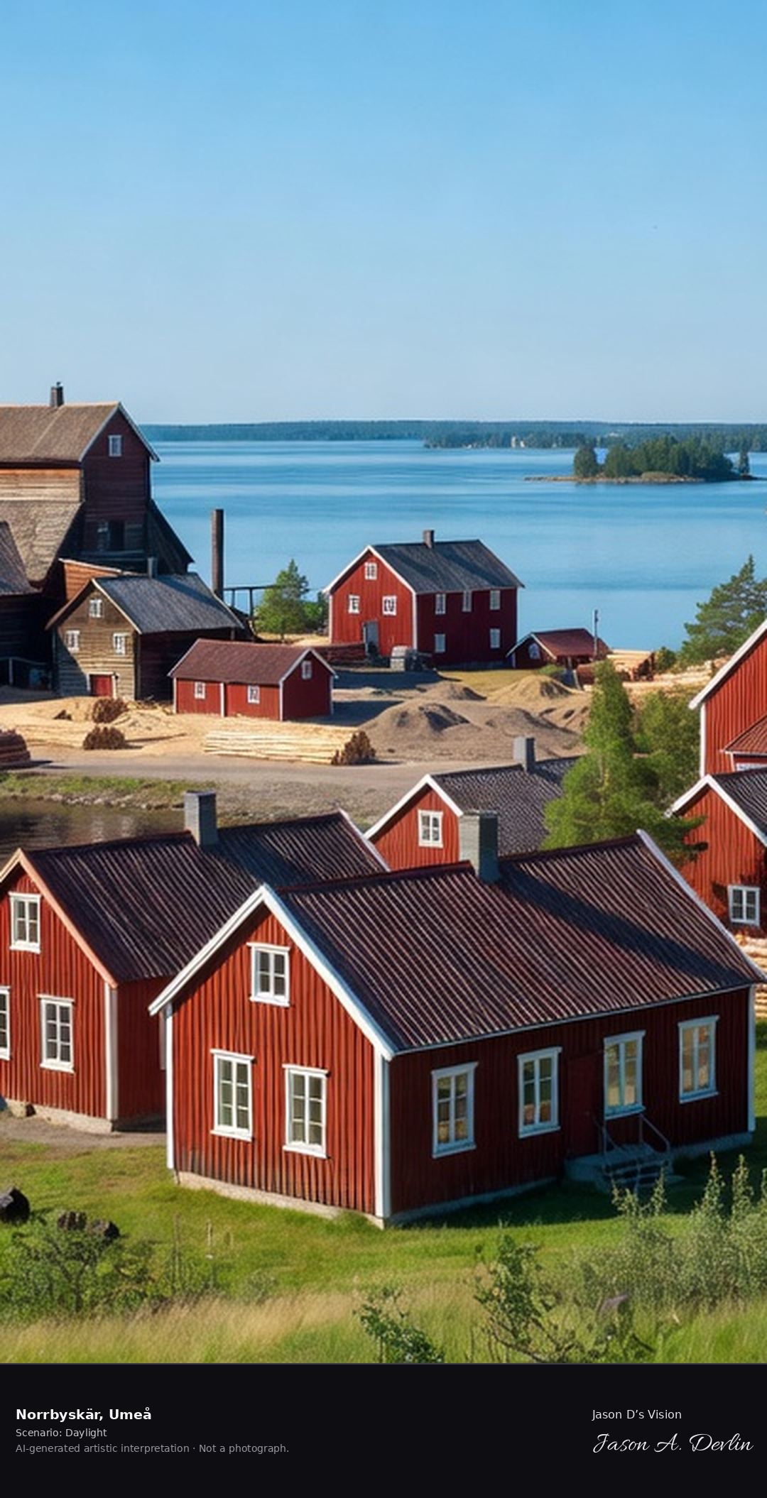
Norrbyskär's sawmill island community in the Umeå archipelago, the perfectly preserved 1890s company town with its church, school and workers' houses on the Bothnian islands.
On its Bothnian island, Norrbyskär’s sawmill community keeps its 1890s company town intact, with church, school and workers’ houses. The perfectly preserved island settlement lies in the Umeå archipelago, in bright natural daylight.
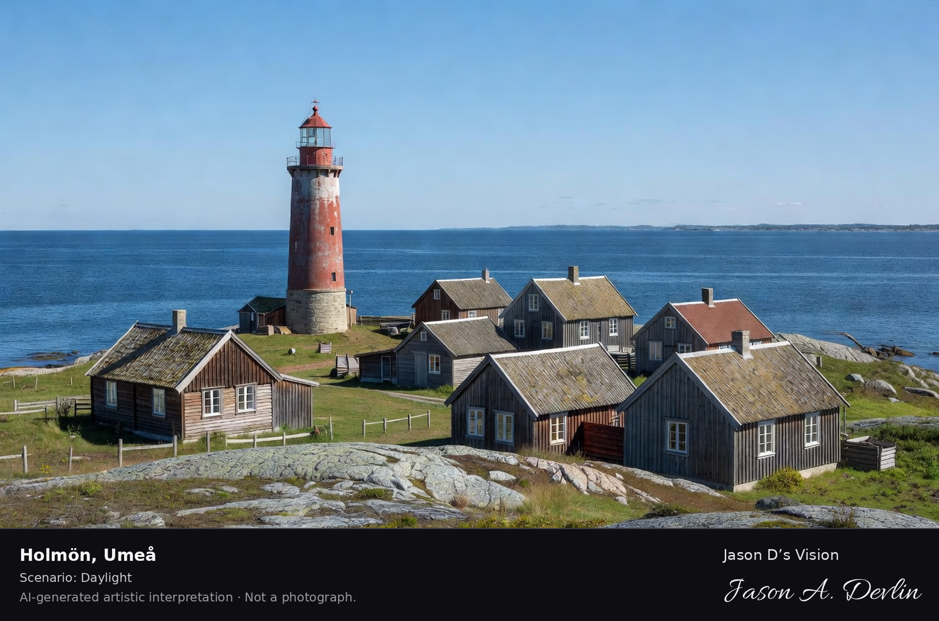
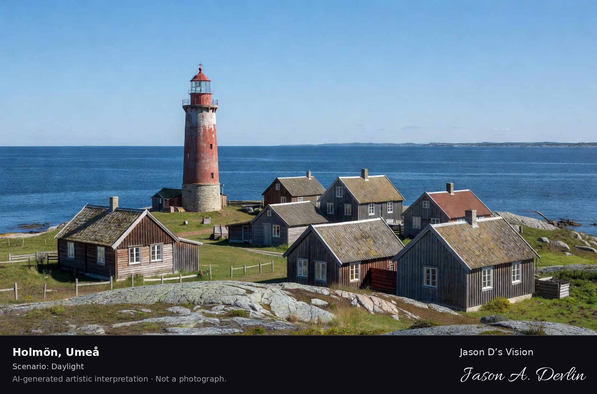
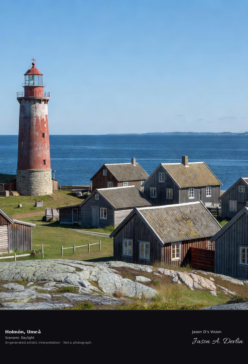
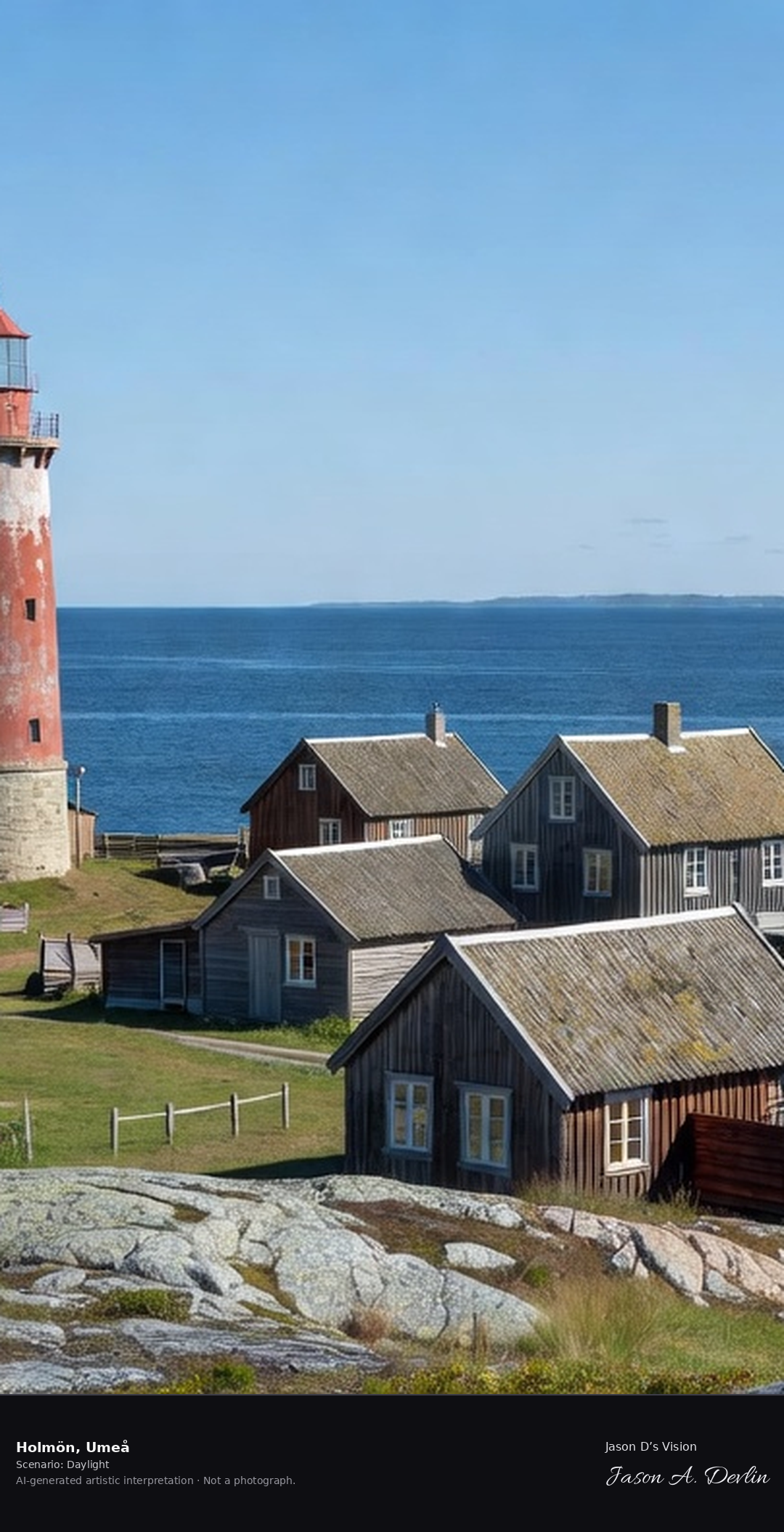
Holmön island's lighthouse and fishing village in the Norra Kvarken, the outermost Umeå archipelago island with its distinctive light and the Bothnian Sea horizon.
On Holmön, the outermost island of the Umeå archipelago in the Norra Kvarken, stand the lighthouse and the fishing village. Beyond them runs the Bothnian Sea horizon, in bright natural daylight.
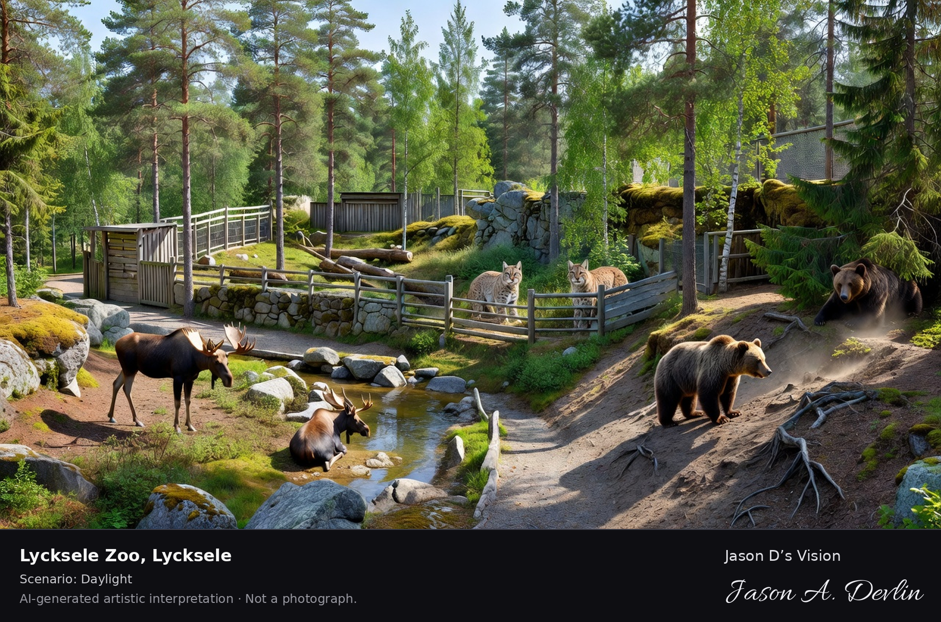
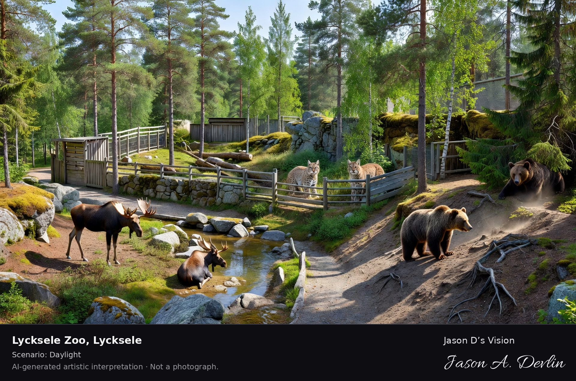
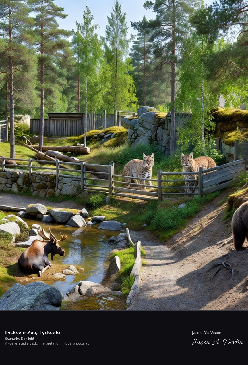
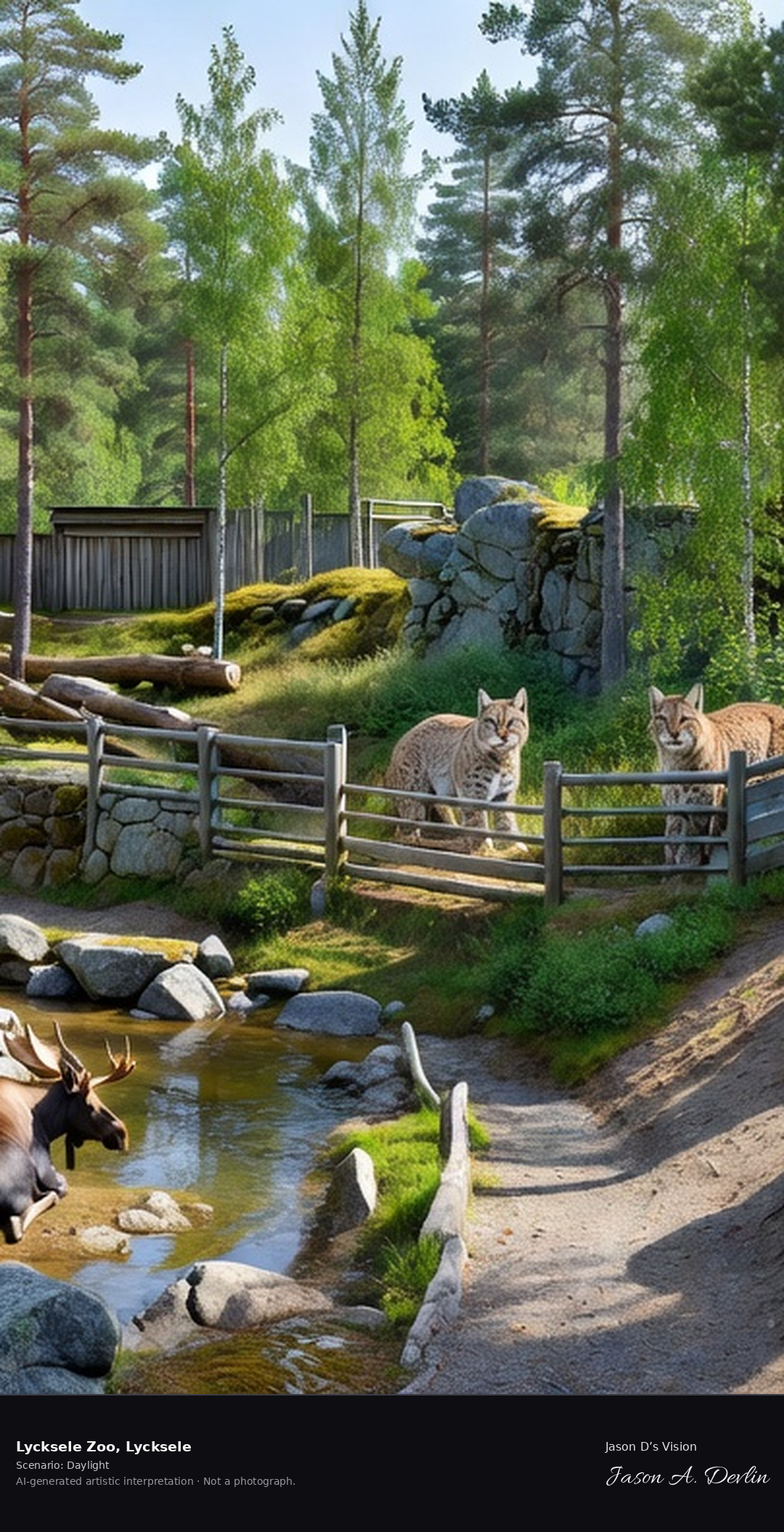
Lycksele Djurpark's northern wildlife enclosures in the Västerbotten forest, Sweden's northernmost zoo with its moose, bears and lynx in naturalistic habitats.
Lycksele Zoo in Lycksele: Sweden's northernmost zoo, with moose, lynx and brown bears in naturalistic enclosures set among the tall pines and rock outcrops of the Västerbotten forest — a classic northern wildlife collection in bright daylight.
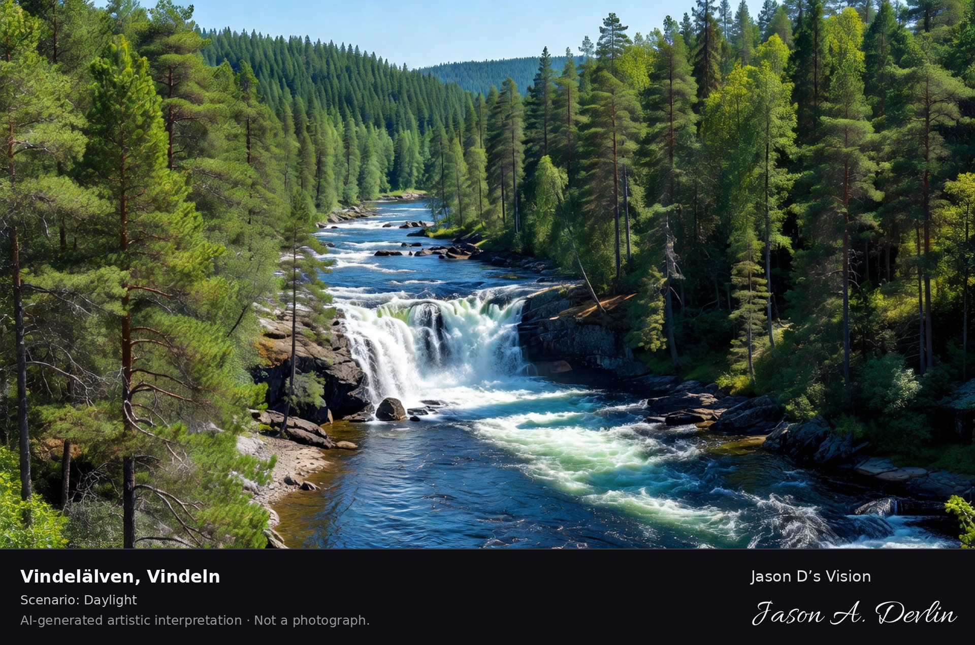
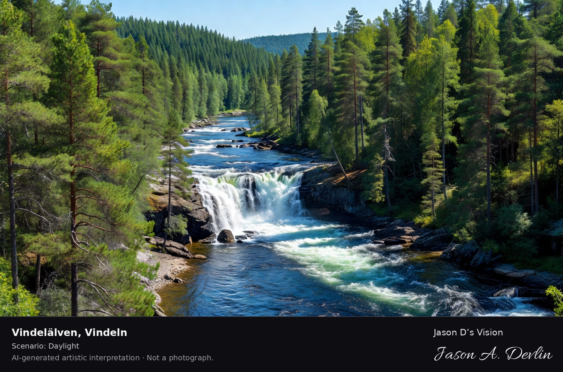
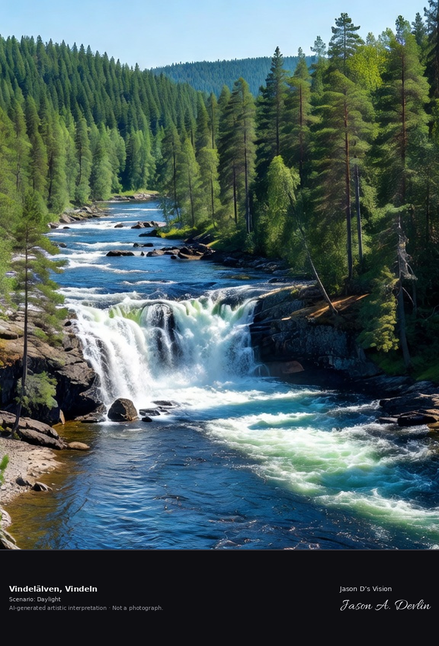
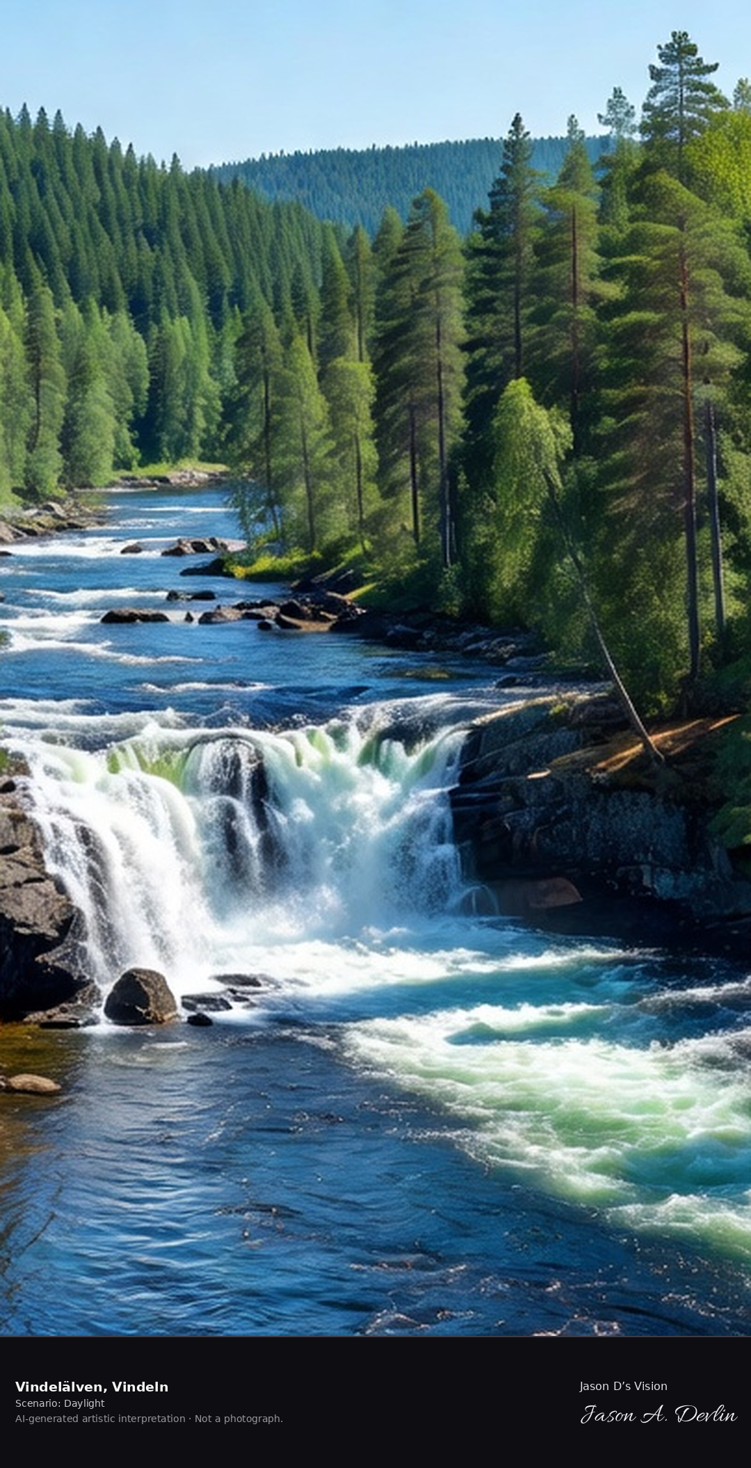
The Vindel River's free-flowing rapids, one of Sweden's last unregulated great rivers, with the Mårdsele falls and the pristine valley forest in the Västerbotten interior.
Vindelälven in Vindeln: the Vindel River's free-flowing rapids, one of Sweden's last unregulated great rivers, cascading through the Mårdsele falls with the pristine valley forest of the Västerbotten interior rising on both banks — classic northern Swedish wilderness in bright daylight.
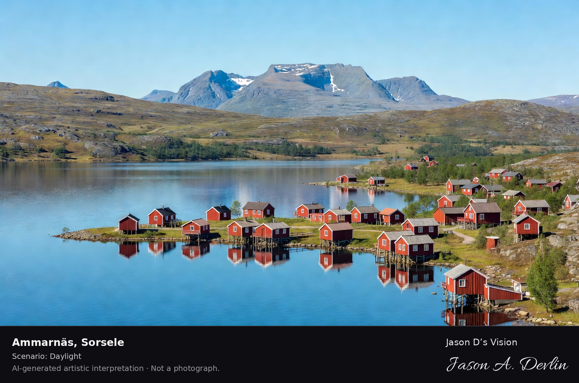
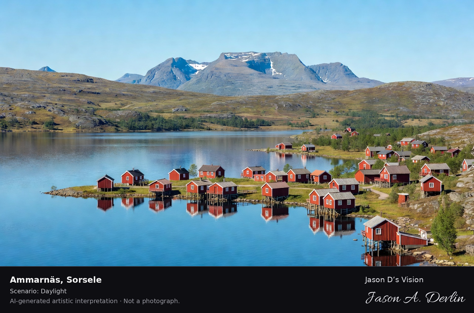
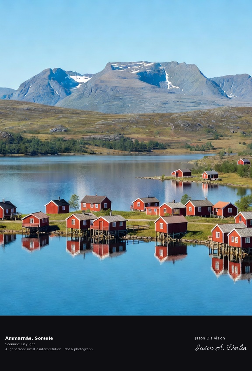
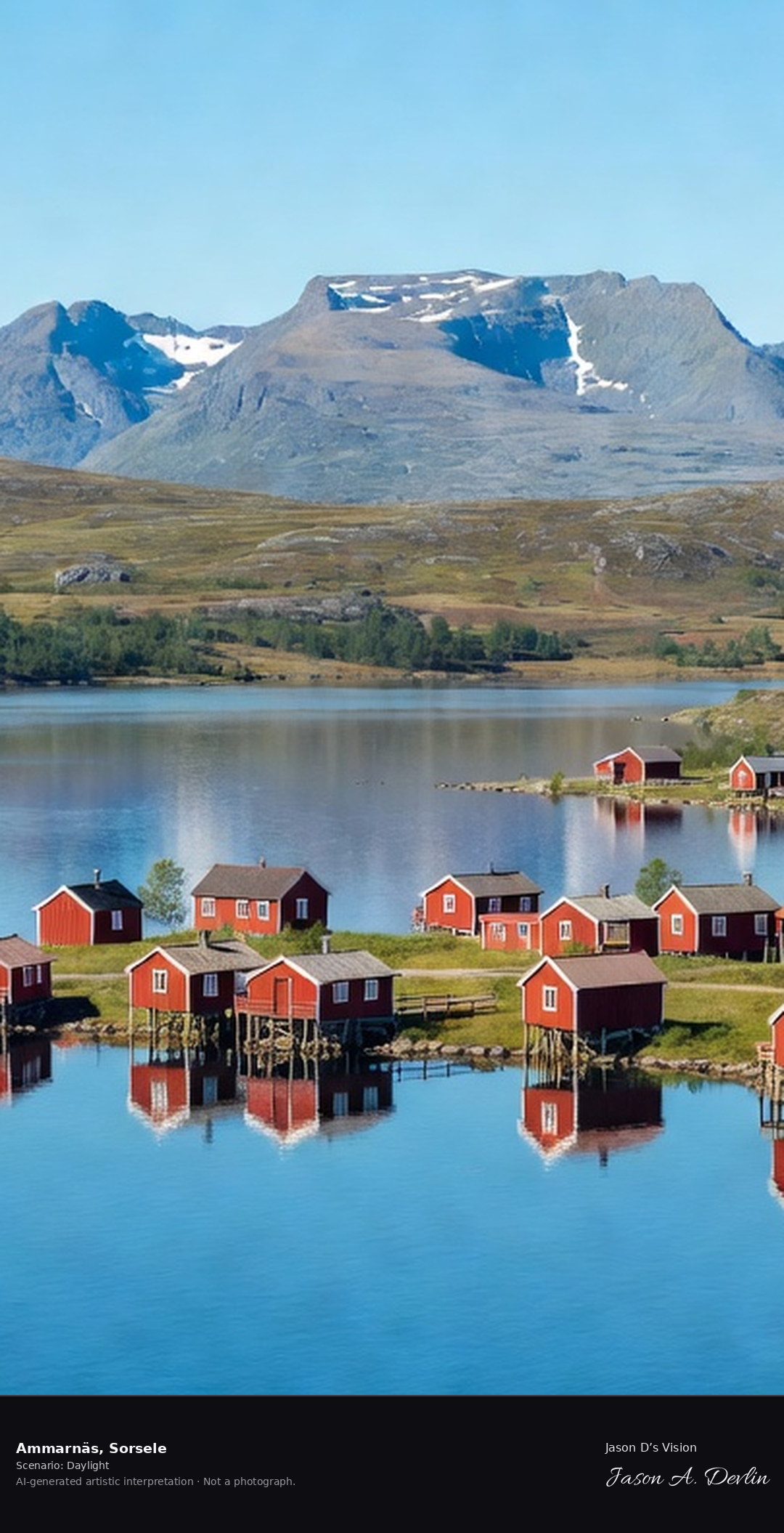
Ammarnäs village at the gateway to the Vindelfjällen nature reserve, the fell village on Lake Gautsträsk with the Norra Storfjället massif beyond.
Ammarnäs in Sorsele: the red Falu-red cottages of the fell village clustered along the shore of Lake Gautsträsk, the Norra Storfjället massif rising beyond — the gateway village to the Vindelfjällen nature reserve in bright Lapland daylight.
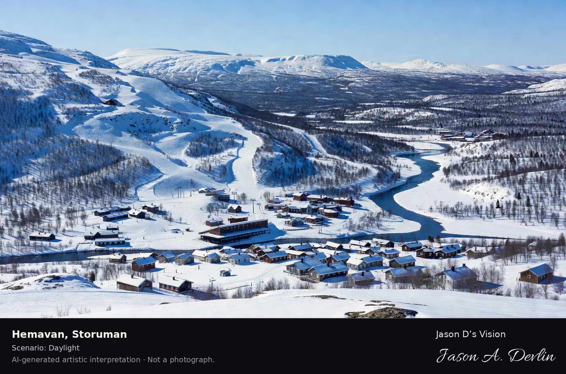
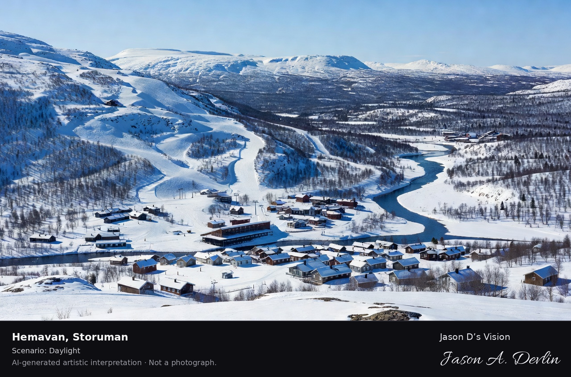
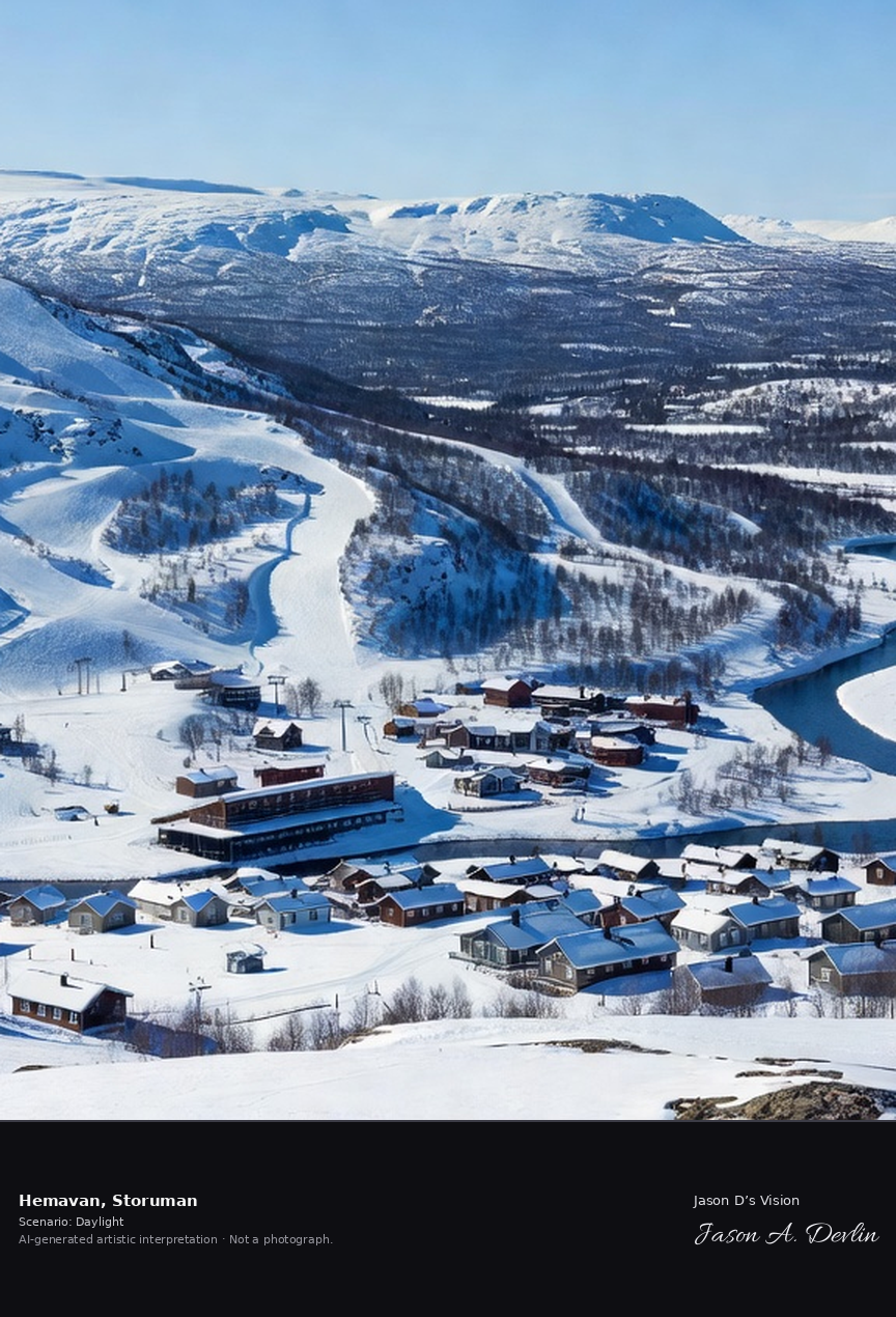
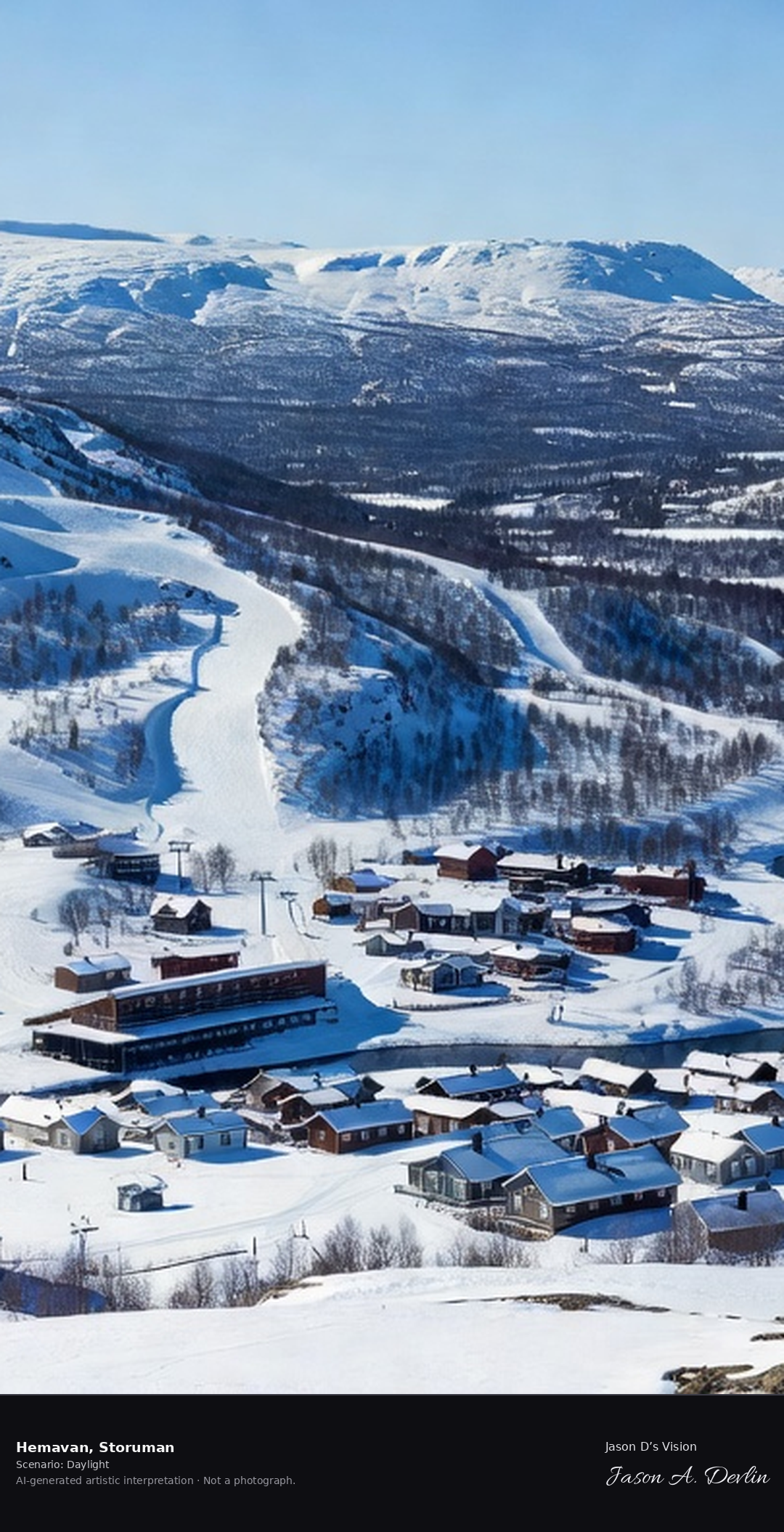
Hemavan's ski slopes below the Norra Storfjället, the fell resort village on the Ume River with the Vindelfjällen wilderness rising behind.
Below the Norra Storfjället spread Hemavan’s ski slopes, above the fell resort village on the Ume River. Behind rises the Vindelfjällen wilderness, in bright natural daylight.
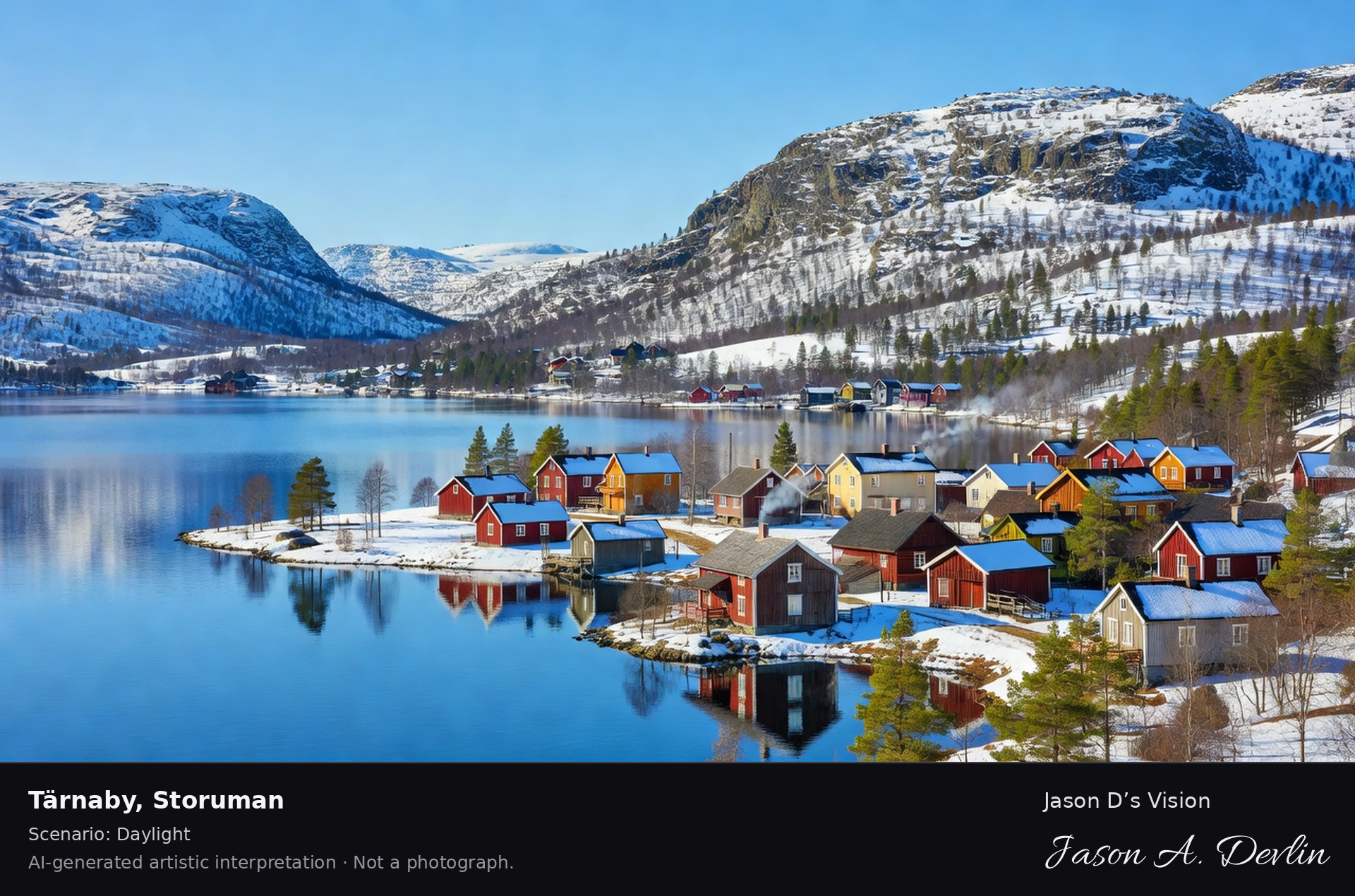
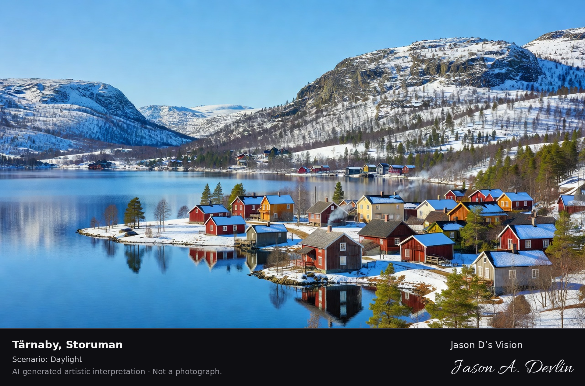
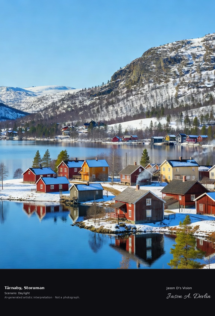
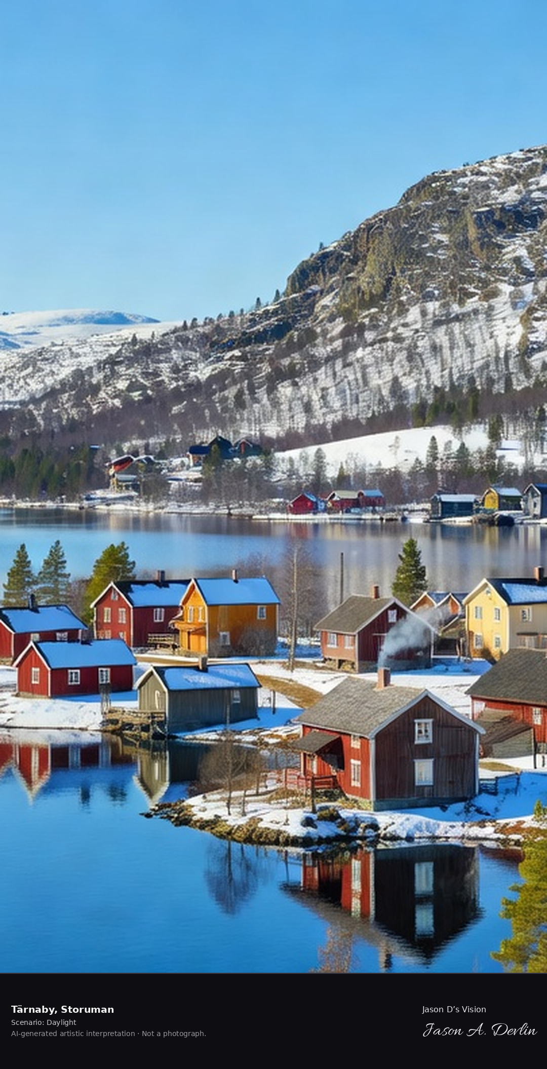
Tärnaby's lakeside village with the Ingemar Stenmark legacy, the fell slopes above Lake Gautsträsk where Sweden's greatest skier learned, in the southern Lapland mountains.
On the shore of Lake Gautsträsk sits Tärnaby’s lakeside village, below the fell slopes of the southern Lapland mountains. The slopes above the lake are where Sweden’s greatest skier, Ingemar Stenmark, learned, in bright natural daylight.
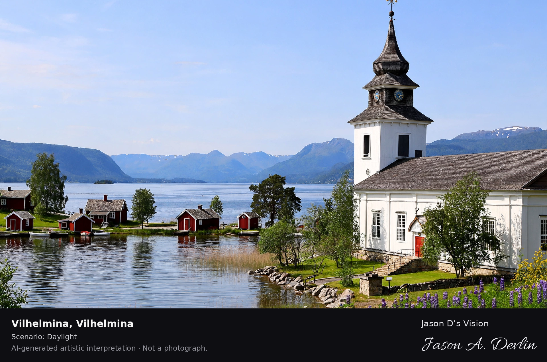
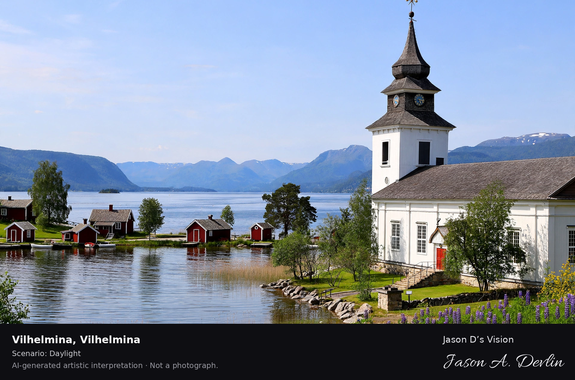
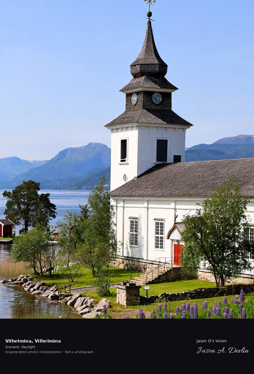
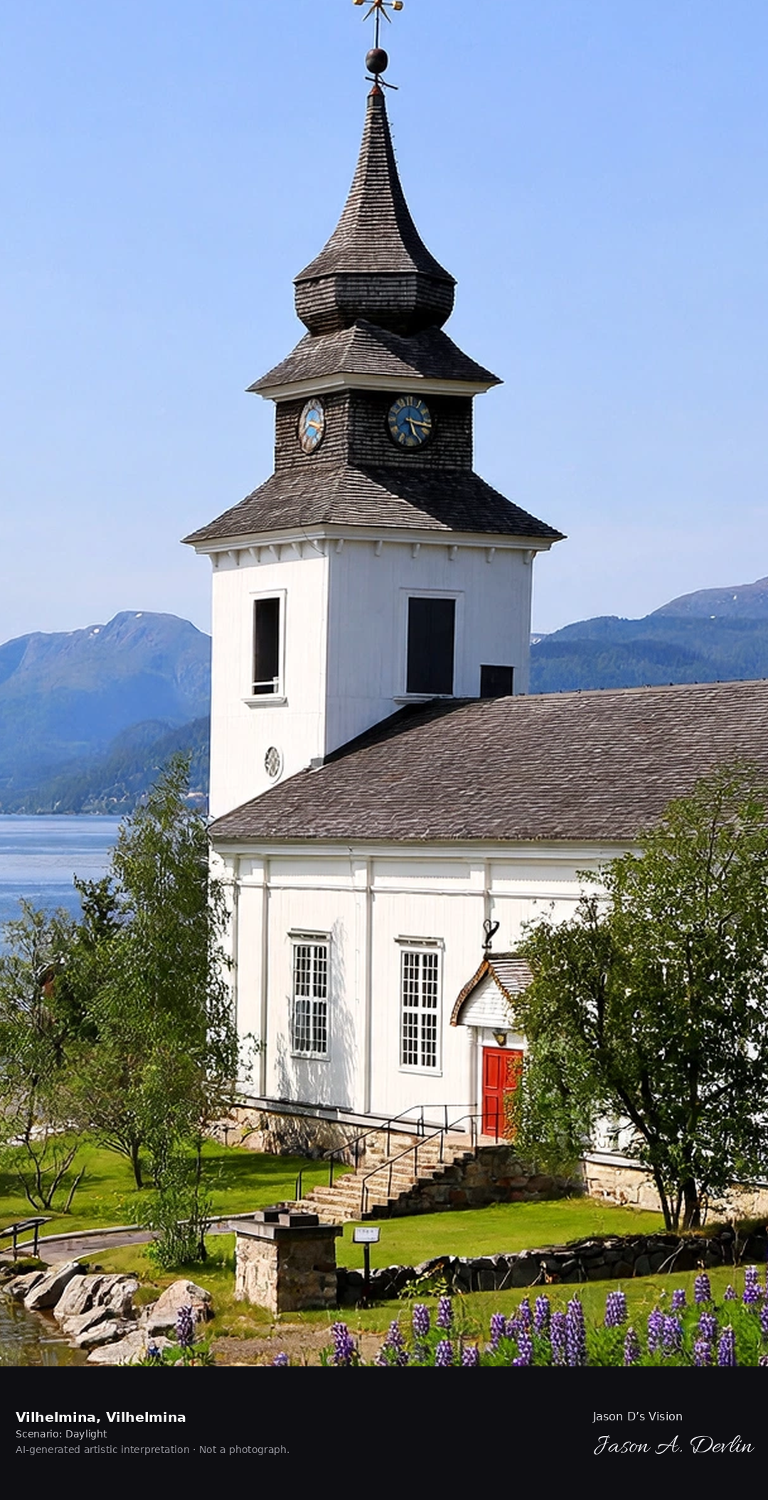
Vilhelmina's church town on Lake Volgsjön, the southern Lapland town with its 18th-century church and the fell landscape of the Marsfjällen beyond.
On Lake Volgsjön stands Vilhelmina’s church town, with its 18th-century church. Beyond the southern Lapland town spreads the fell landscape of the Marsfjällen, in bright natural daylight.
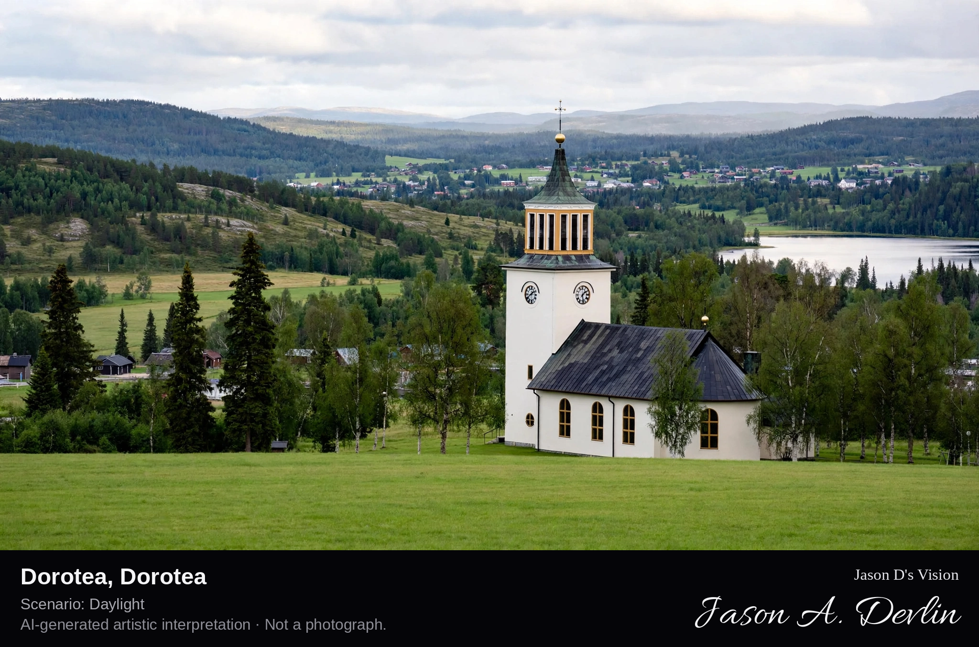
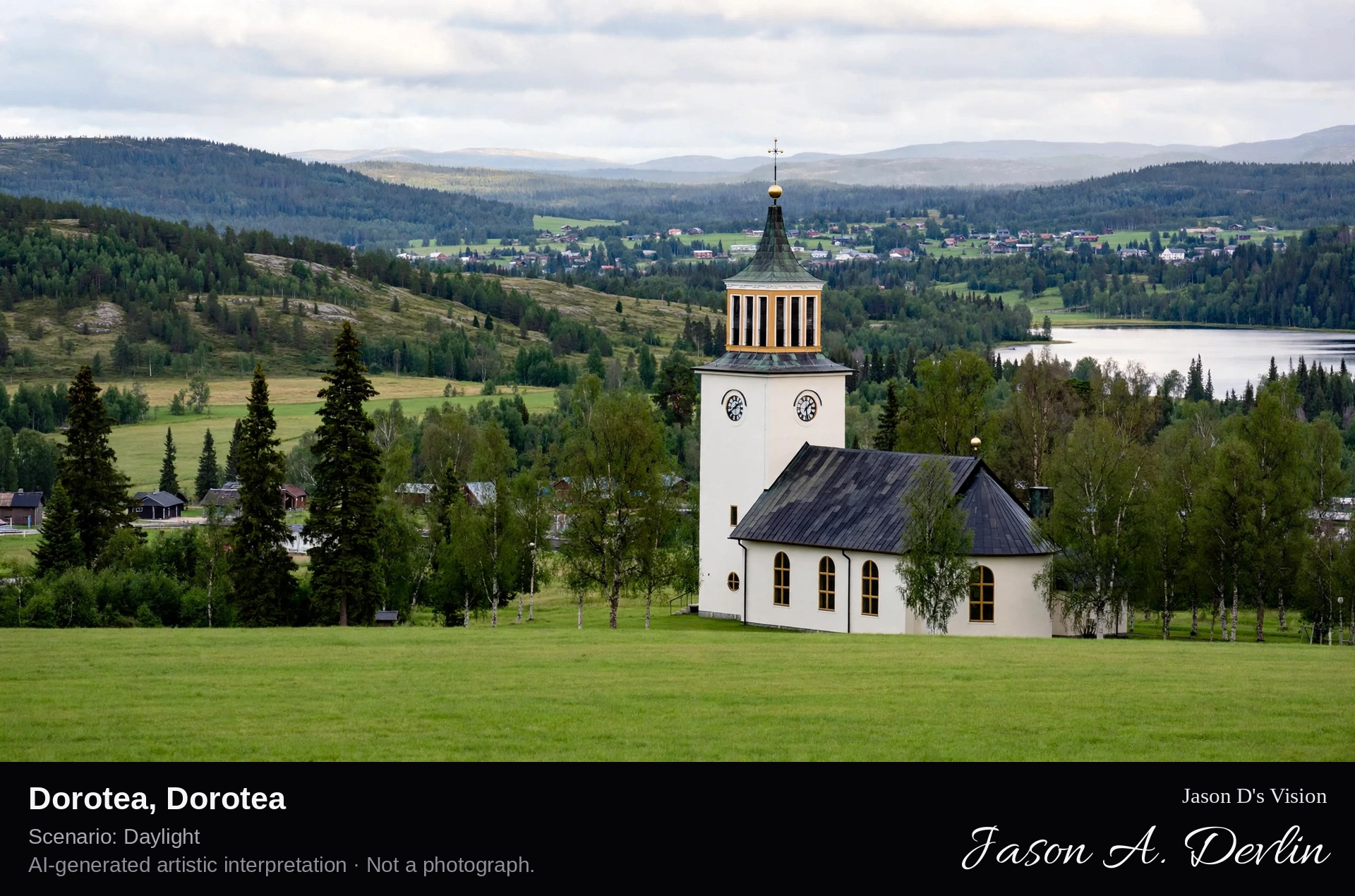
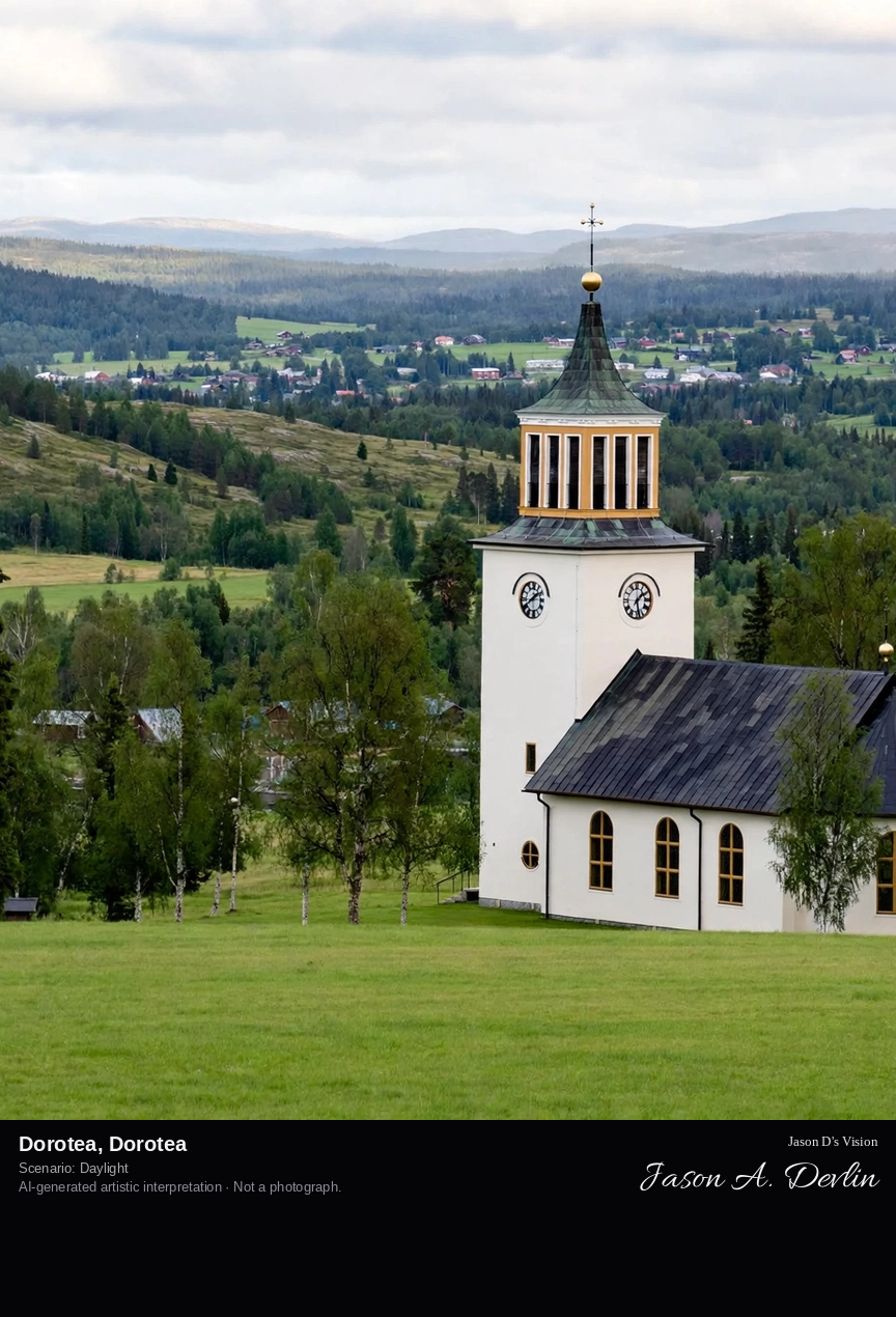
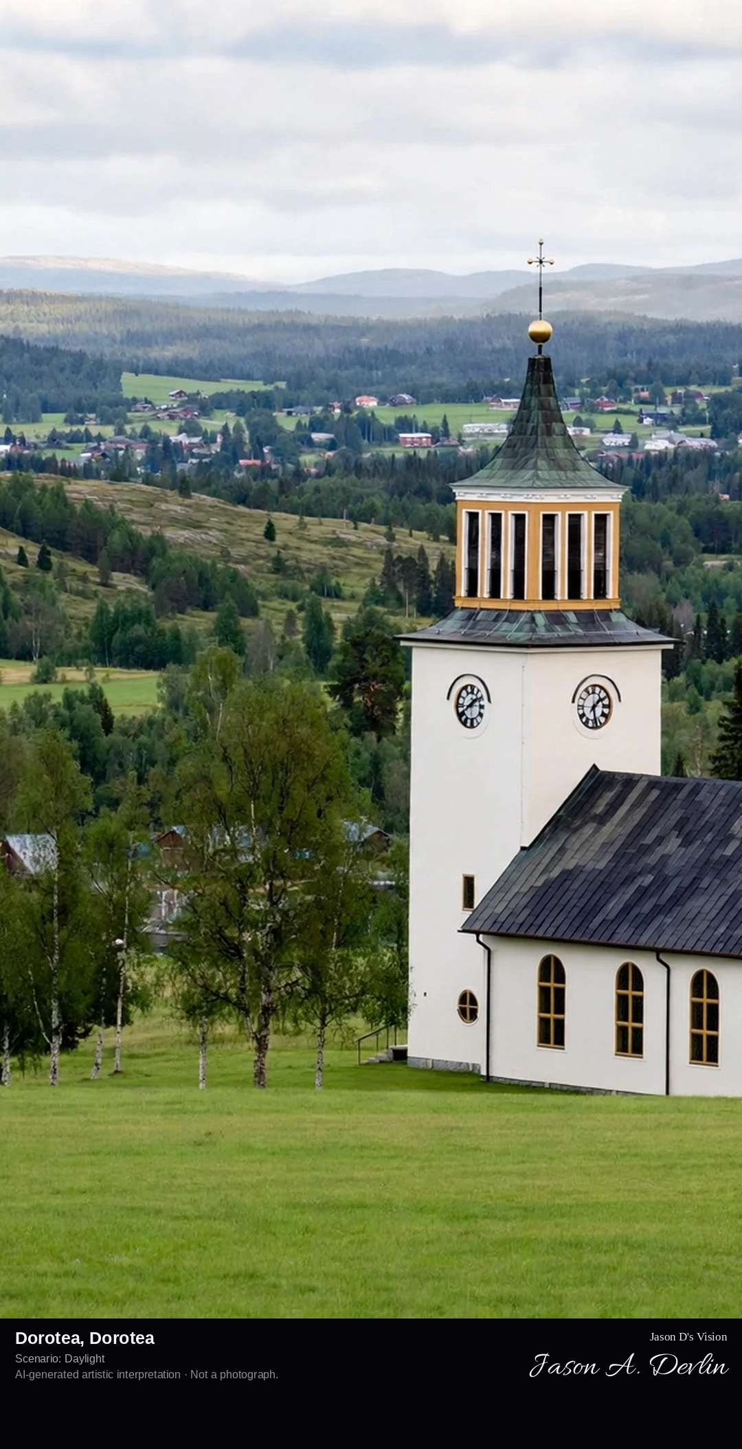
Dorotea's church village in the Ångermanland-Lapland border forest, the small northern town with its 18th-century church and the wilderness beyond.
Dorotea in Dorotea: the 18th-century wooden church with tall spire amid timber church-town cottages, the border forest of the Angermanland-Lapland frontier stretching to the horizon in bright Lapland daylight.
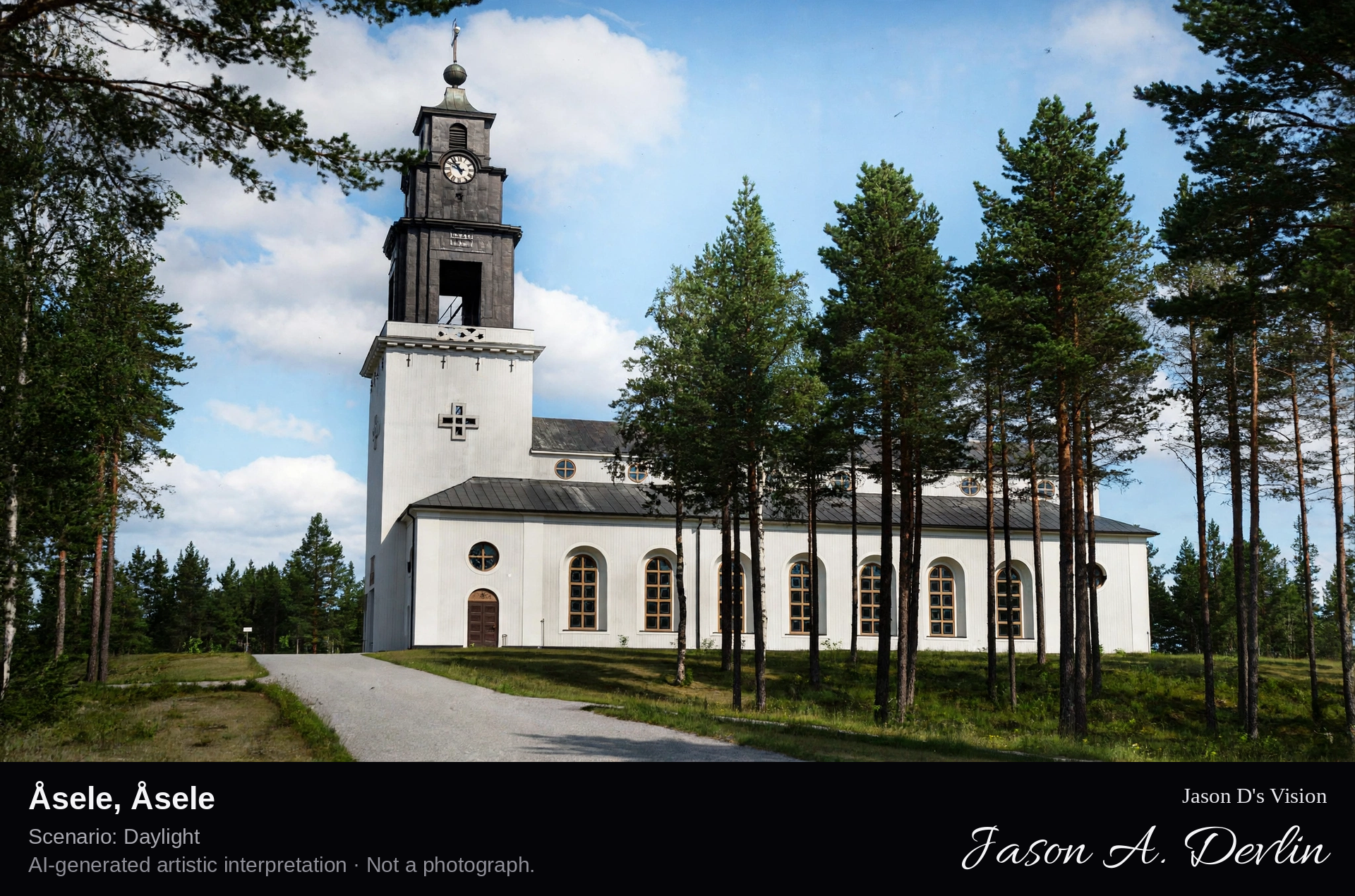
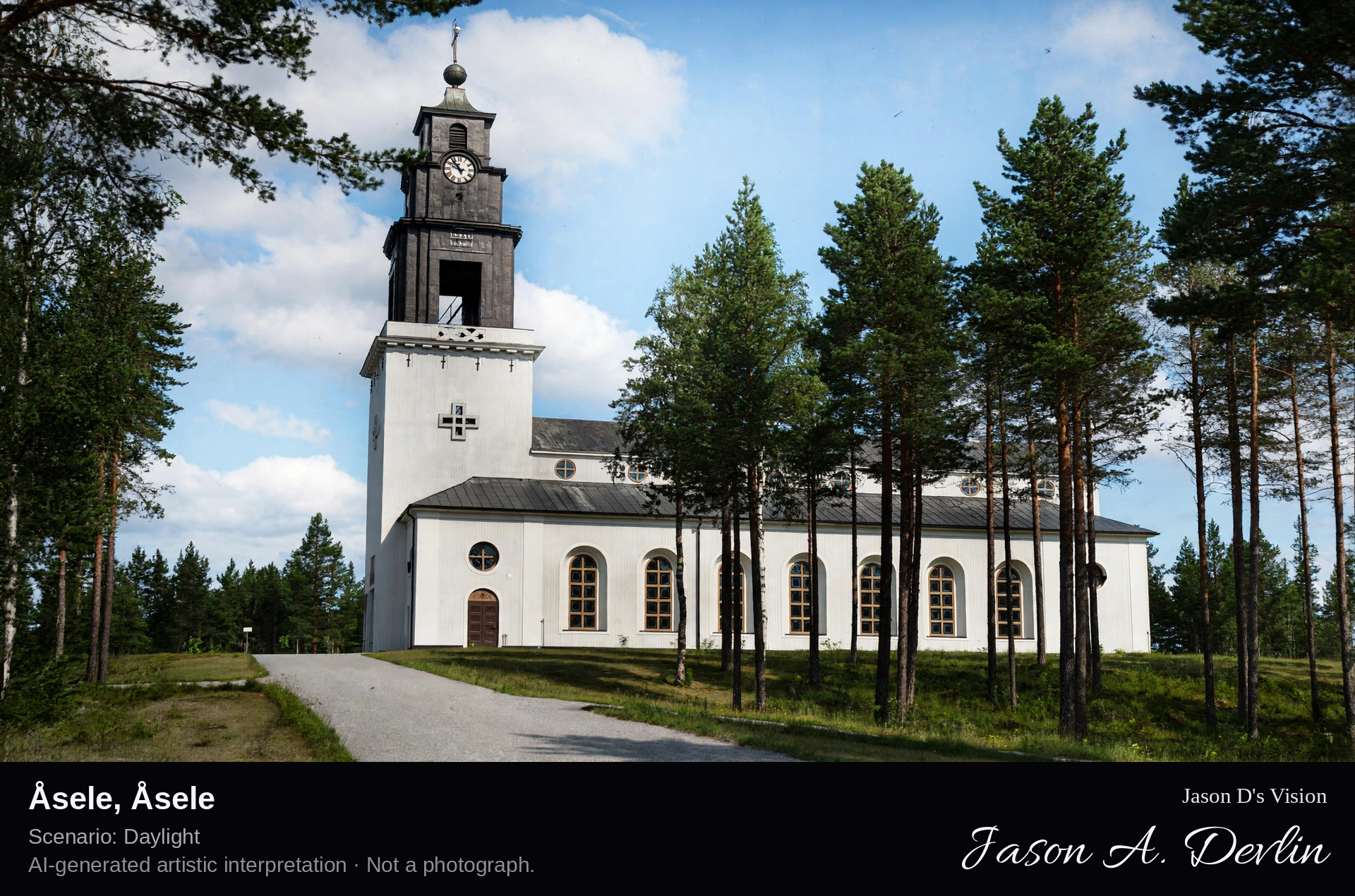
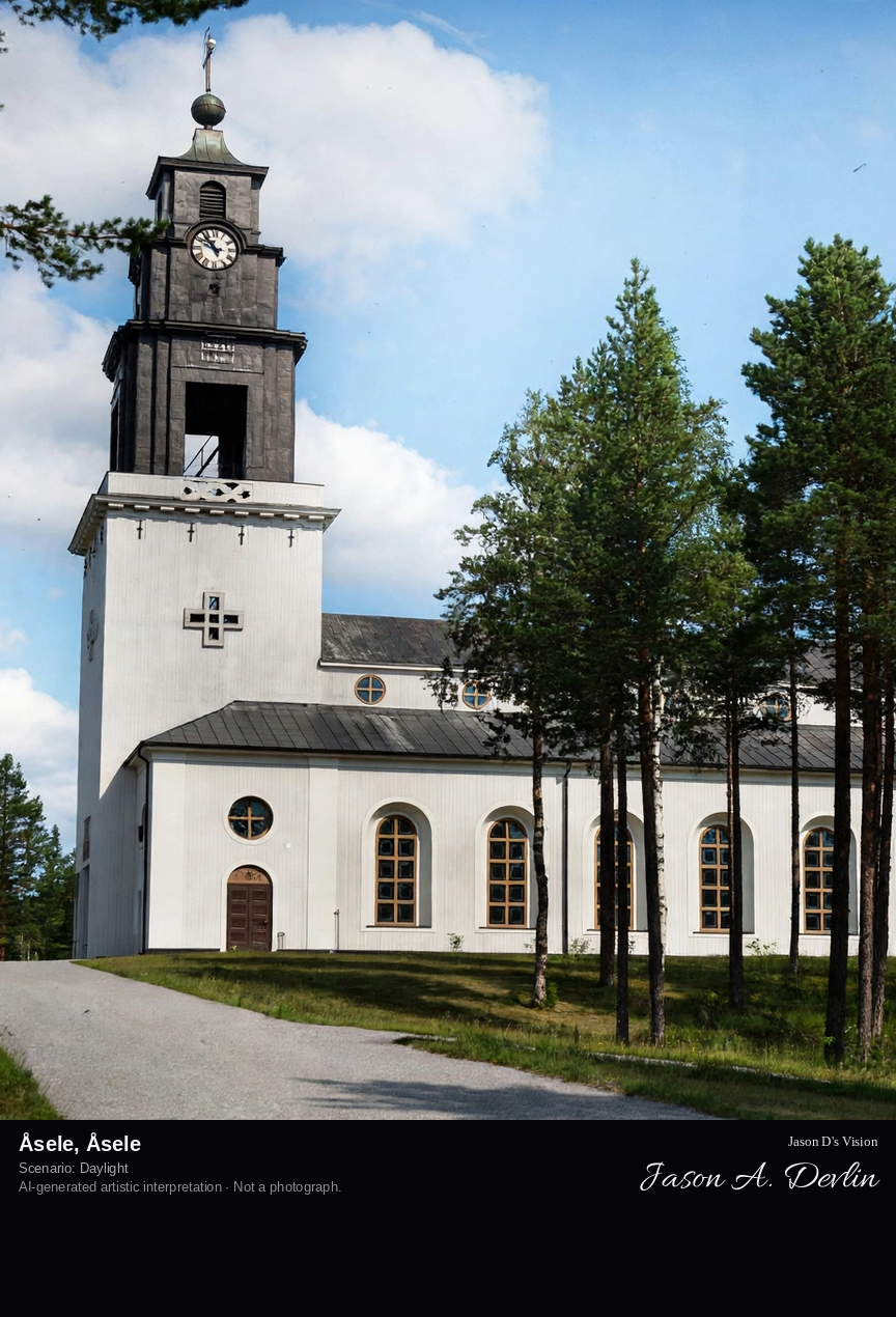
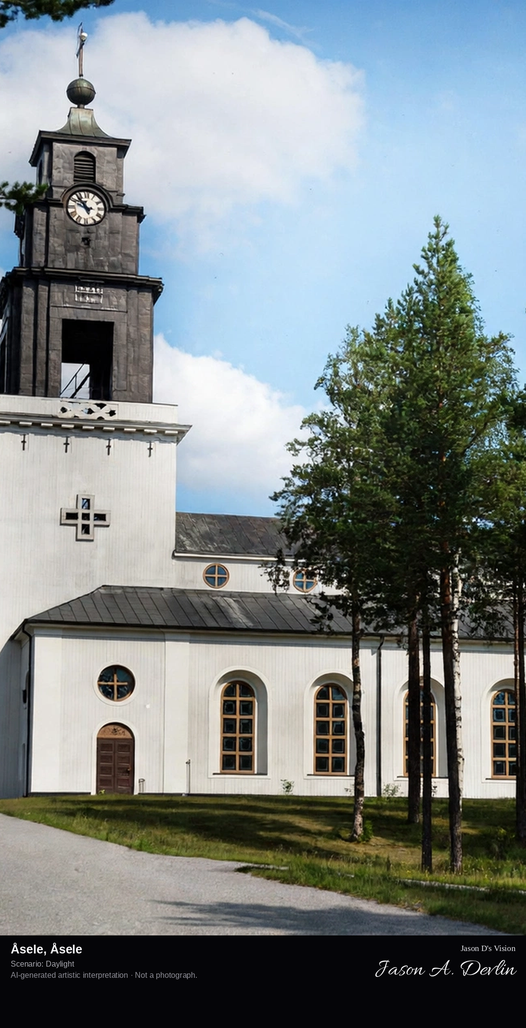
Åsele's church town on the Ångermanälven, the historic market town with its 17th-century church and the river valley's forested hills.
Asele in Asele: the wooden 17th-century church and red church-town cottages on the banks of the Angermanalven, the forested hills of the river valley rising beyond in bright Lapland daylight.
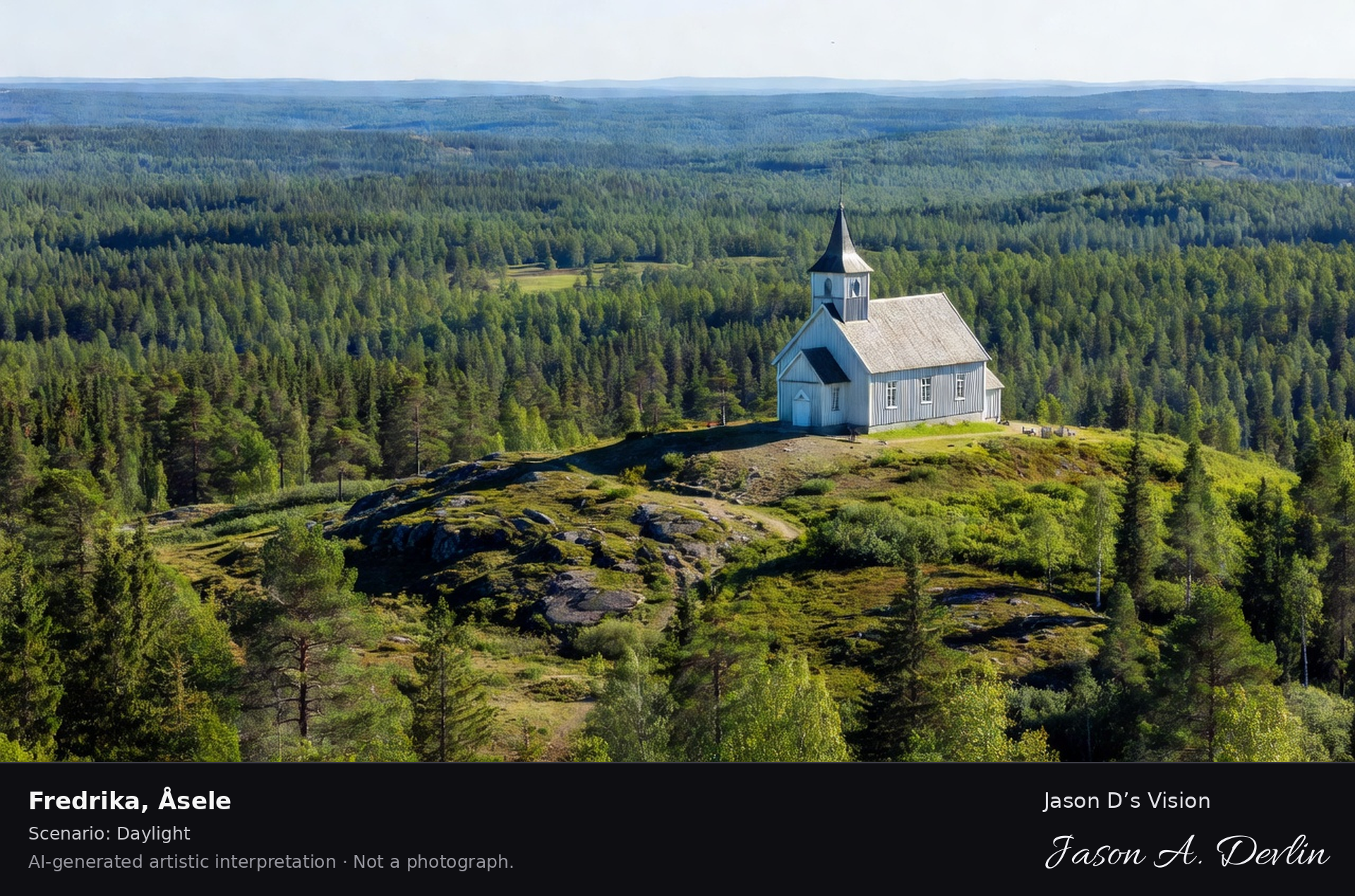
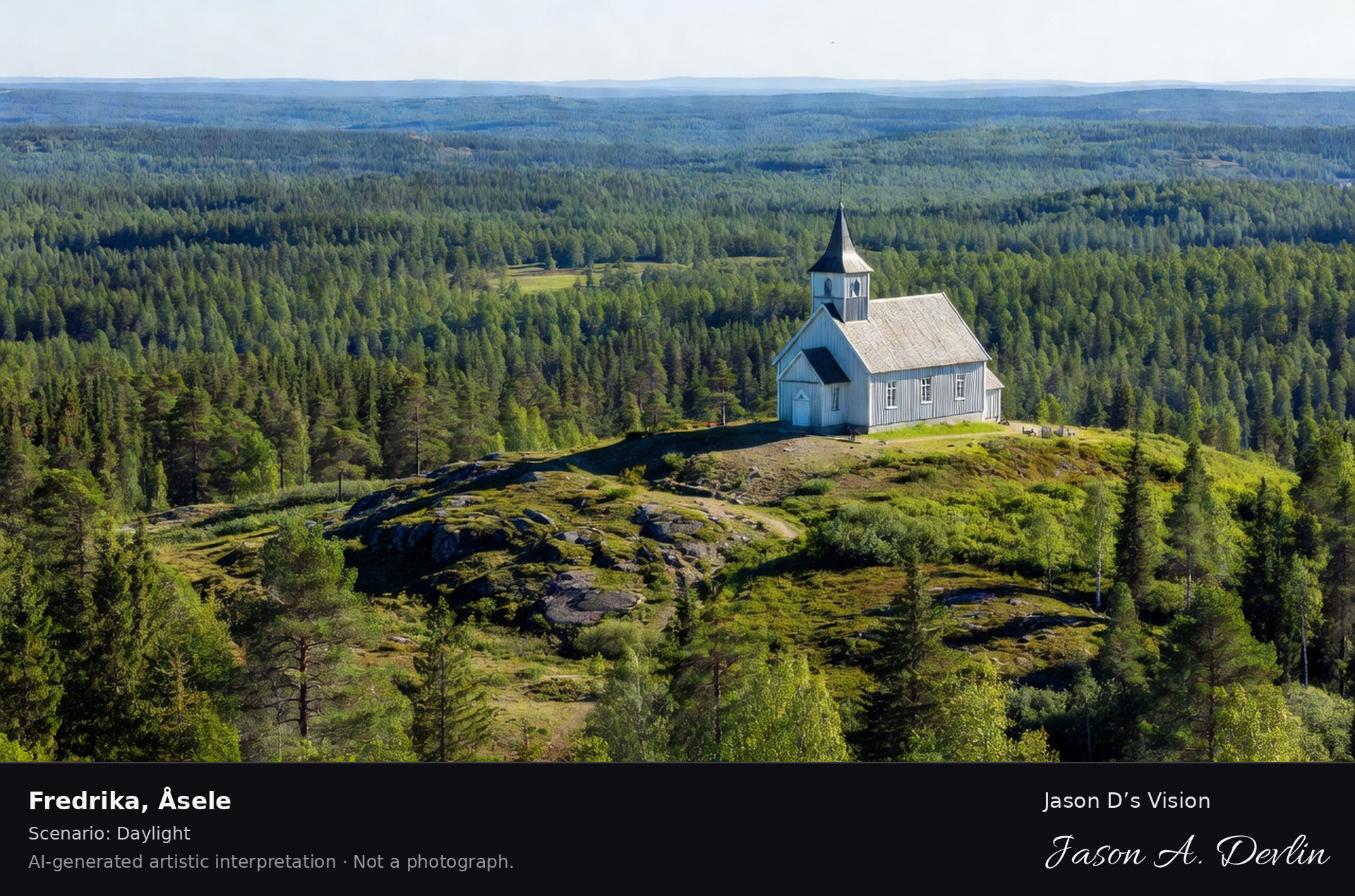
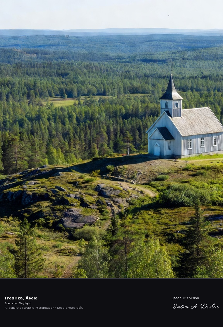
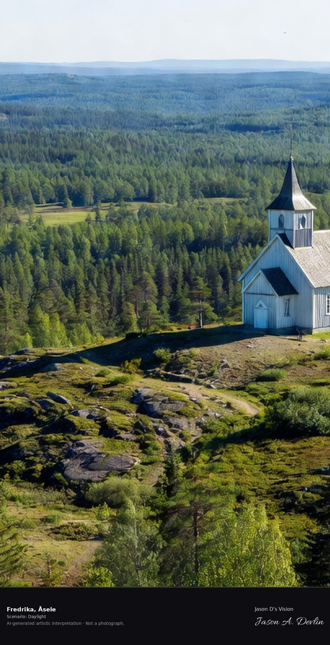
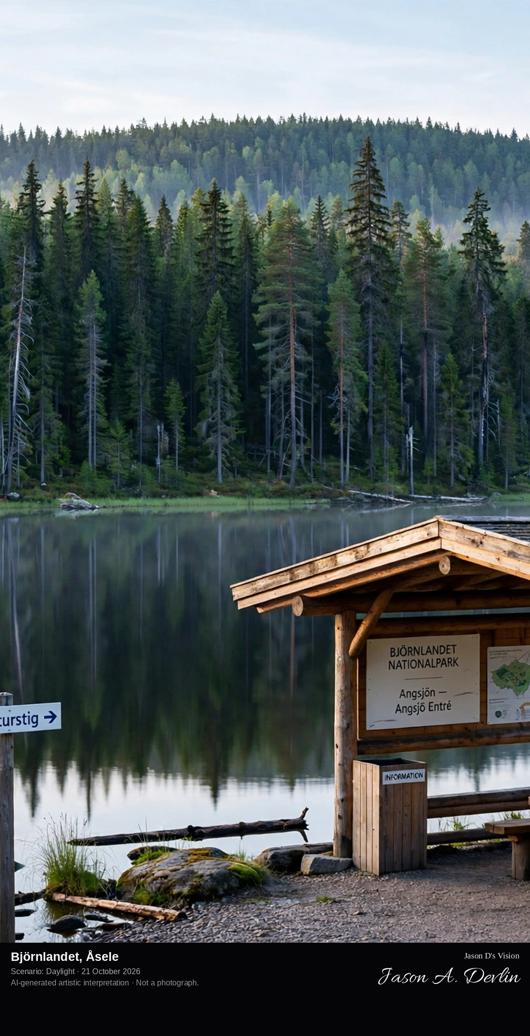
Fredrika's hilltop church above the northern forest, the small Lapland parish with its panoramic view over the wilderness from the church hill.
Fredrika in Asele: the wooden parish church with tall spire on the rocky church hill above the northern forest, the Lapland wilderness stretching to the horizon in bright daylight.
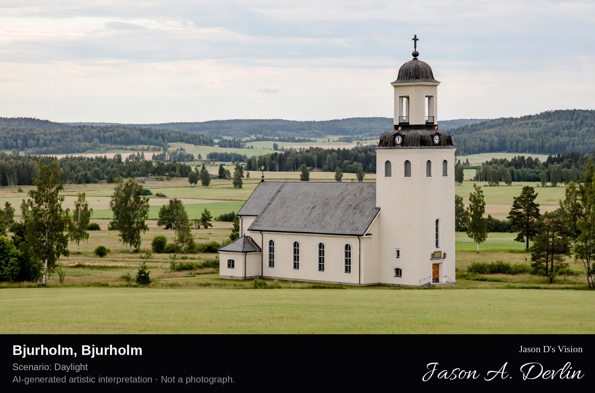
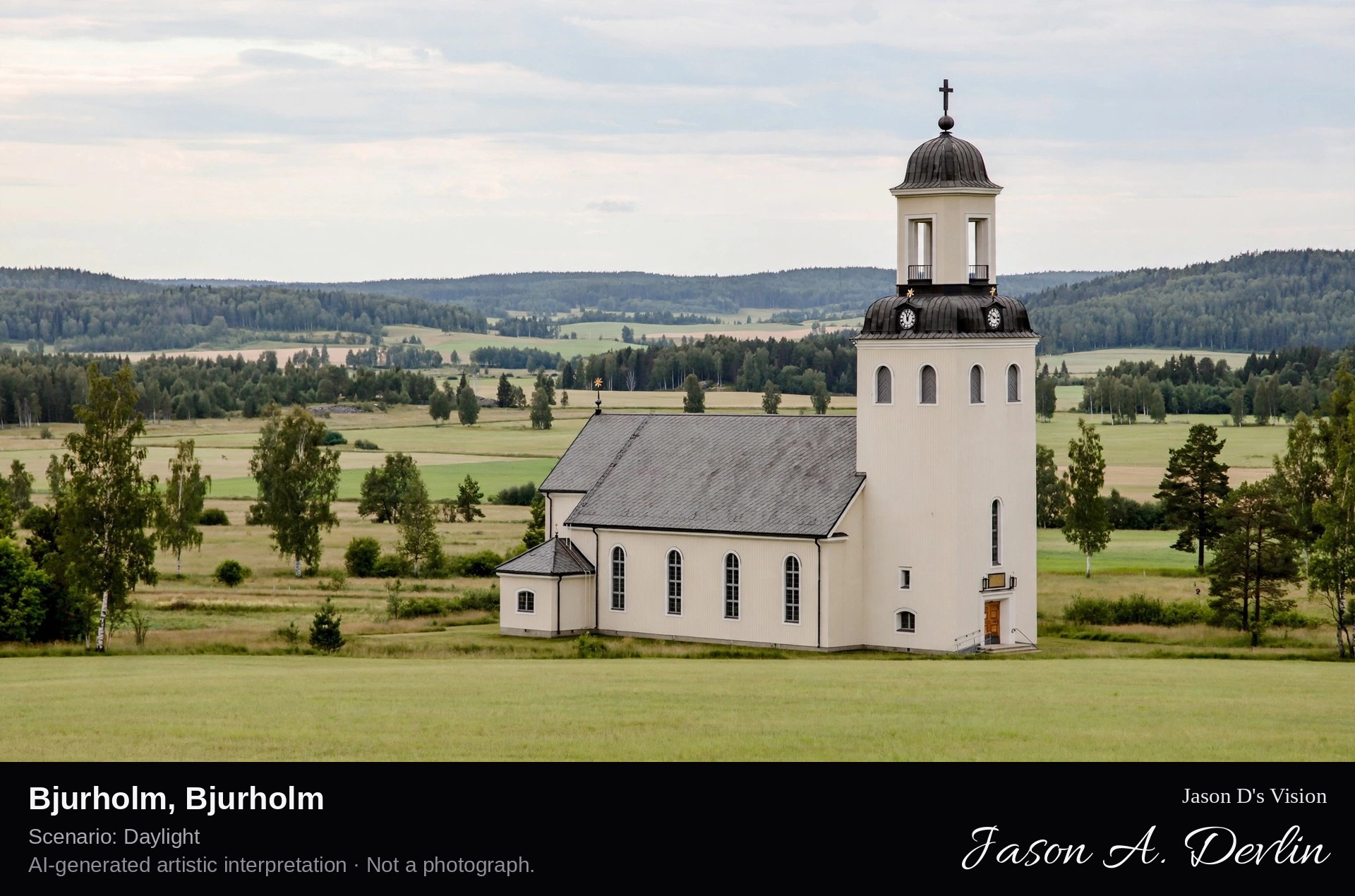
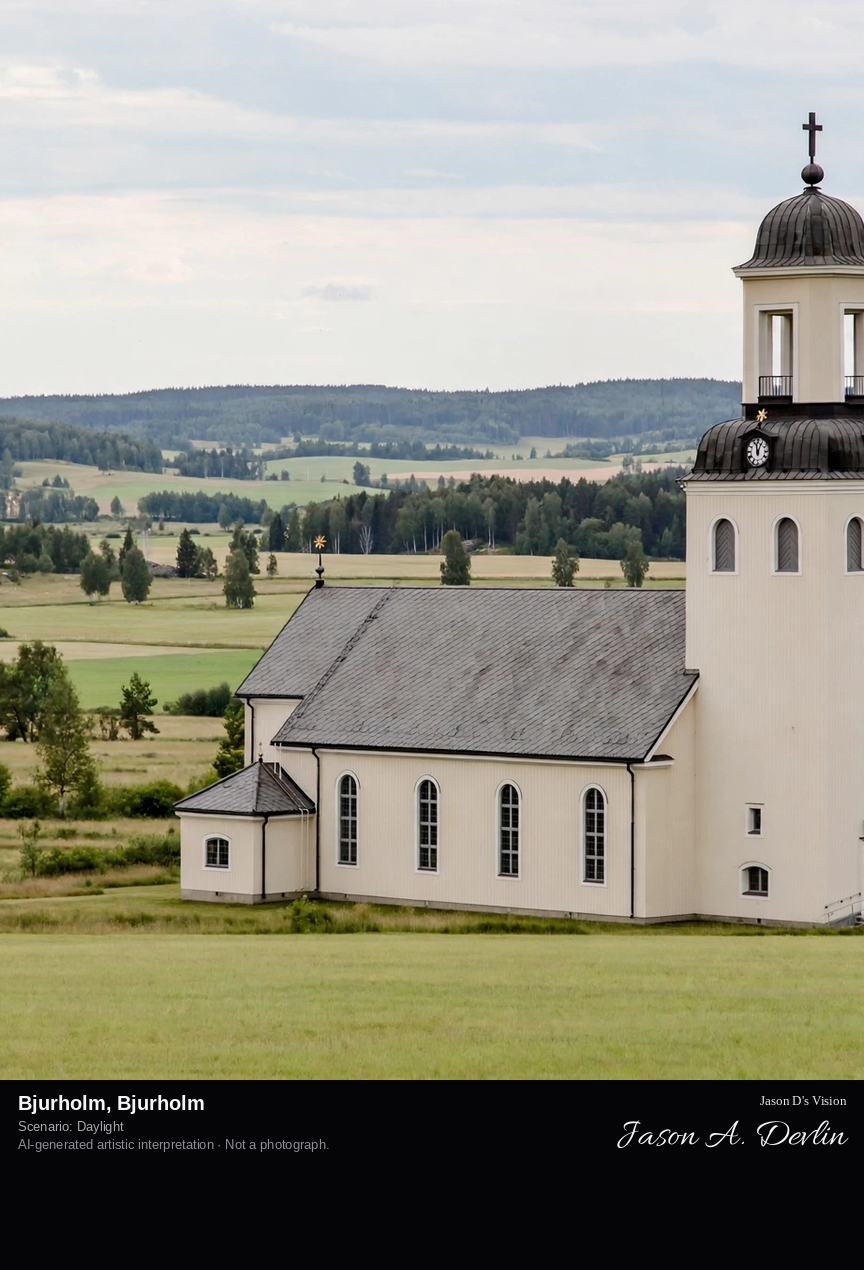
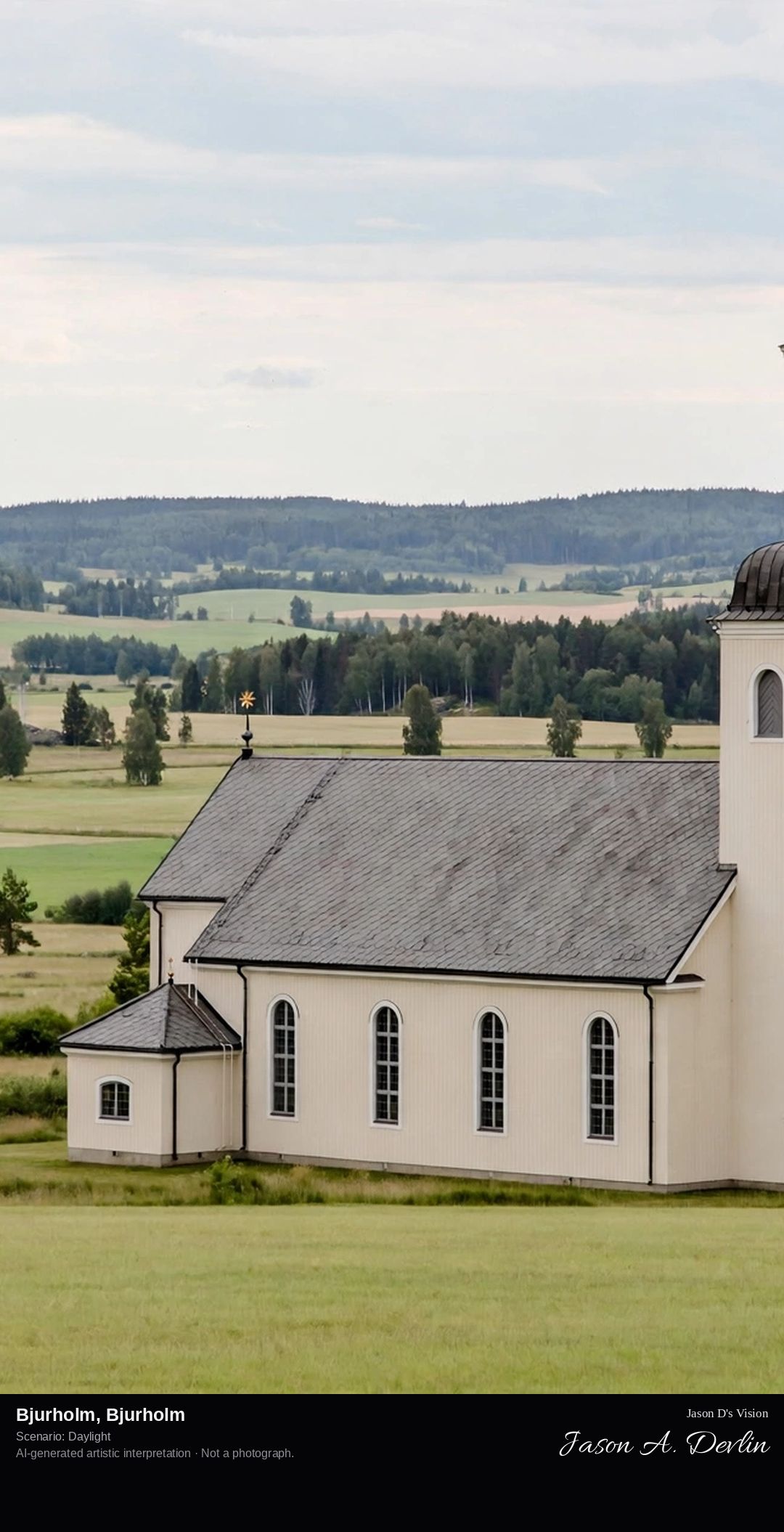
Bjurholm's church village, Sweden's smallest municipality center, with its 19th-century church in the Ångermanland forest interior.
Bjurholm in Bjurholm: the 19th-century red parish church with tall spire and its parish cottages in the Ångermanland forest interior, Sweden's smallest municipality center, all in bright daylight.
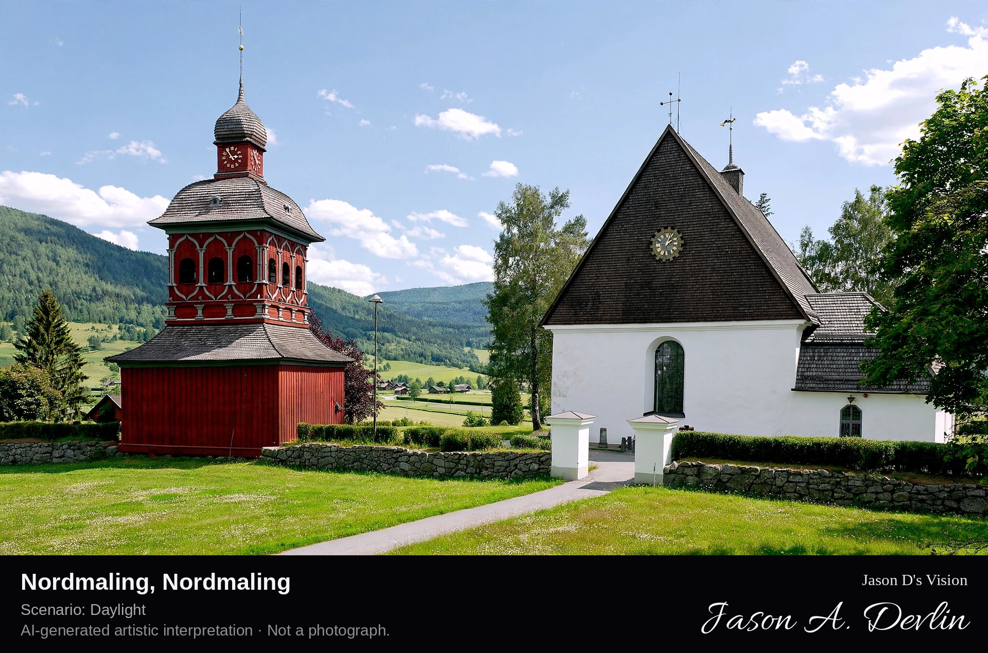
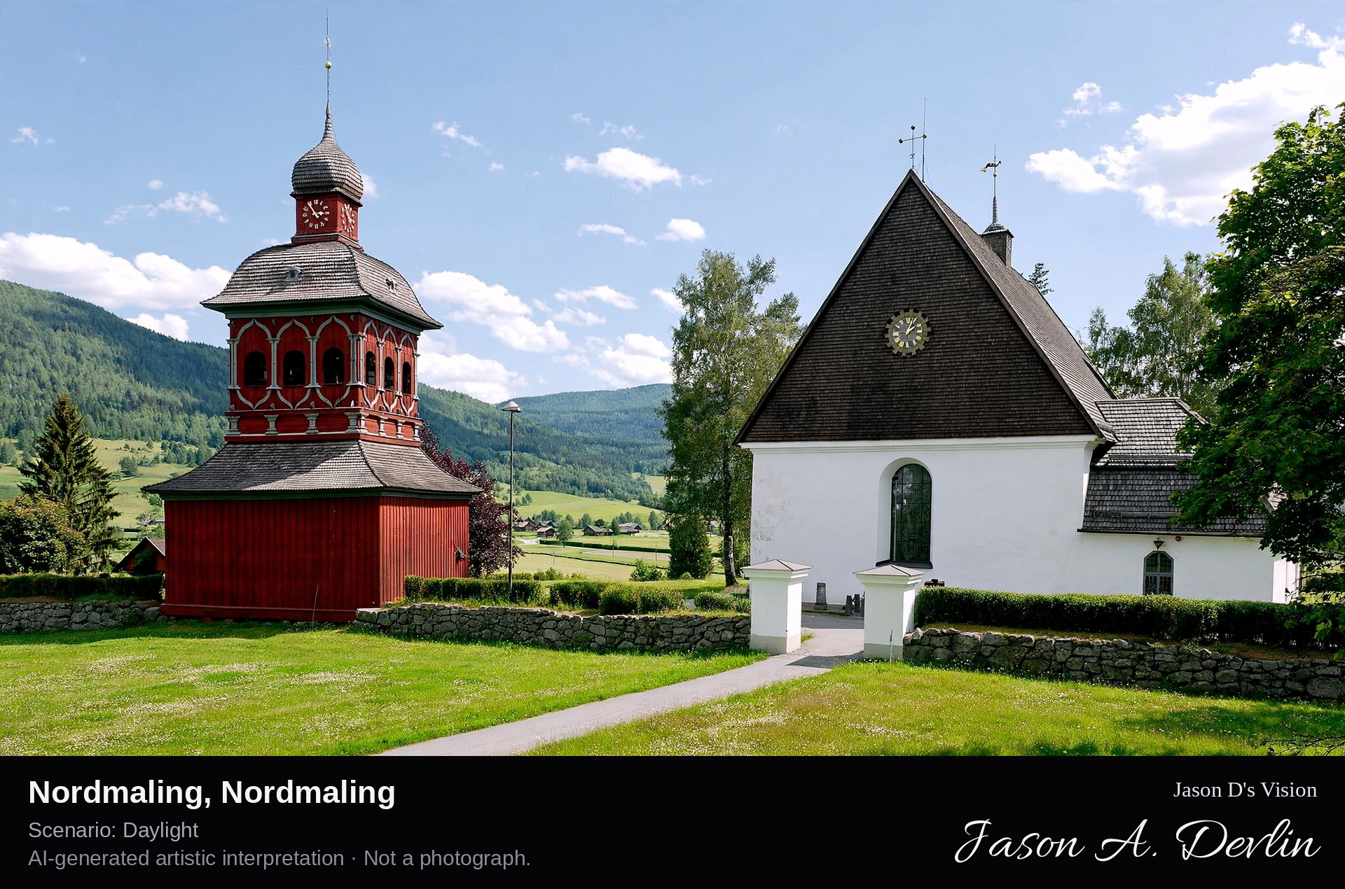
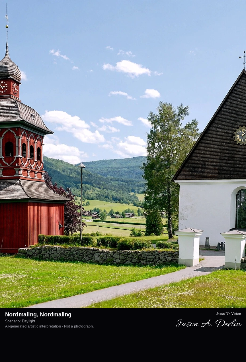
Nordmaling's coastal church town on the Bothnian Sea, the historic parish with its 19th-century church and the harbor, gateway to the High Coast's north.
Nordmaling in Nordmaling: the historic stone parish church with spire above its churchyard, the red boathouses and the harbor on the Bothnian Sea, gateway to the High Coast's north, all in bright daylight.
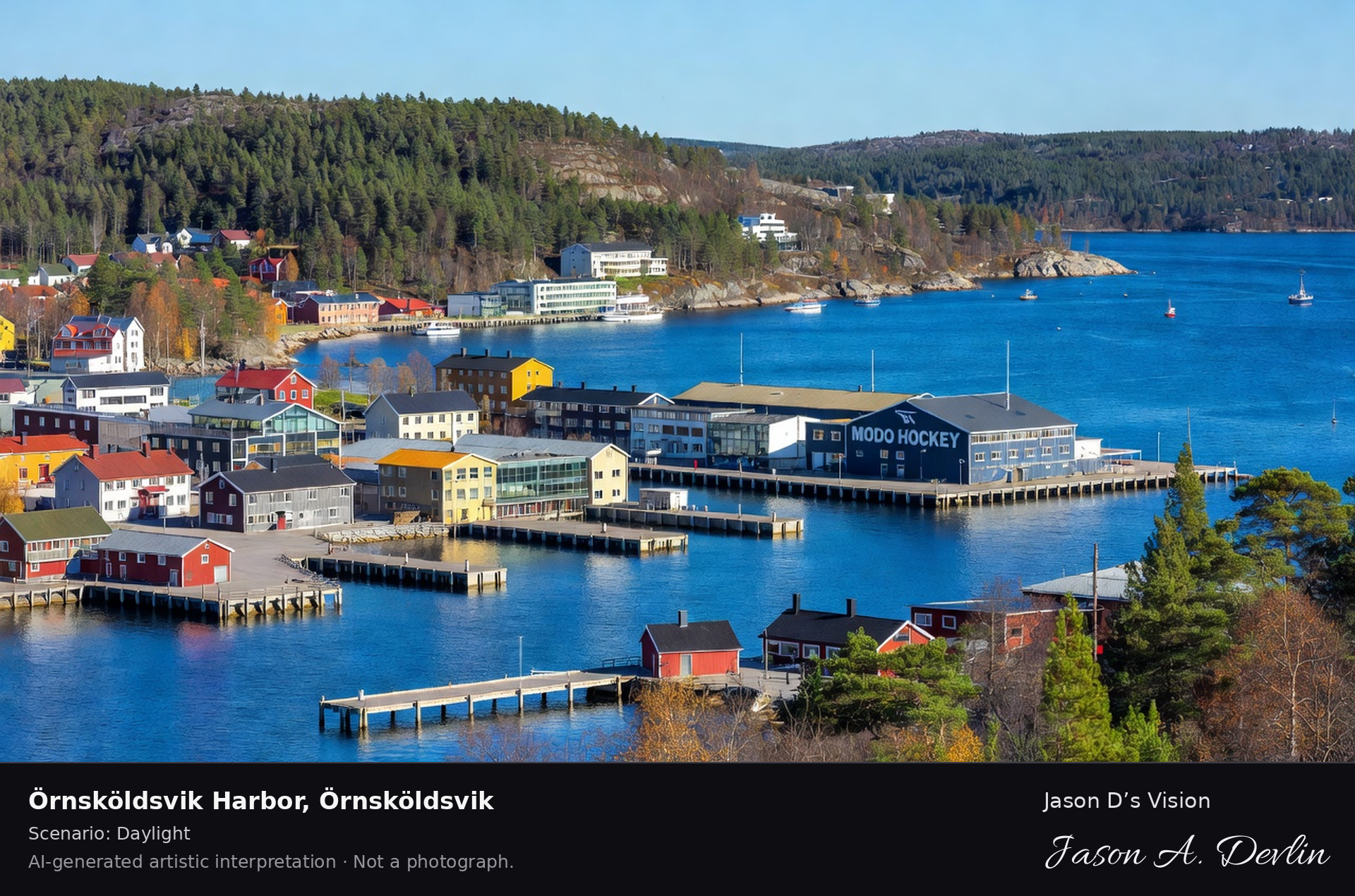
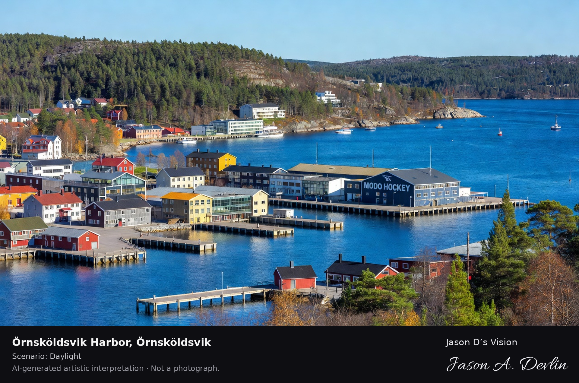
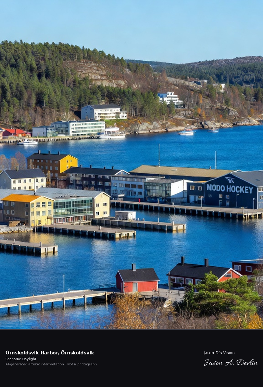
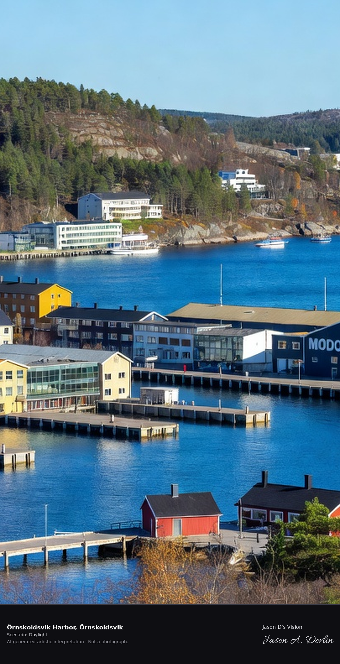
Örnsköldsvik's harbor town on the Bothnian Sea, the High Coast's largest town with its waterfront and the Modo hockey heritage, backed by the coastal hills.
Örnsköldsvik Harbor in Örnsköldsvik: the harbor town waterfront with piers and colorful harbor houses, the forested coastal hills behind on the Bothnian Sea, the High Coast's largest town, all in bright daylight.
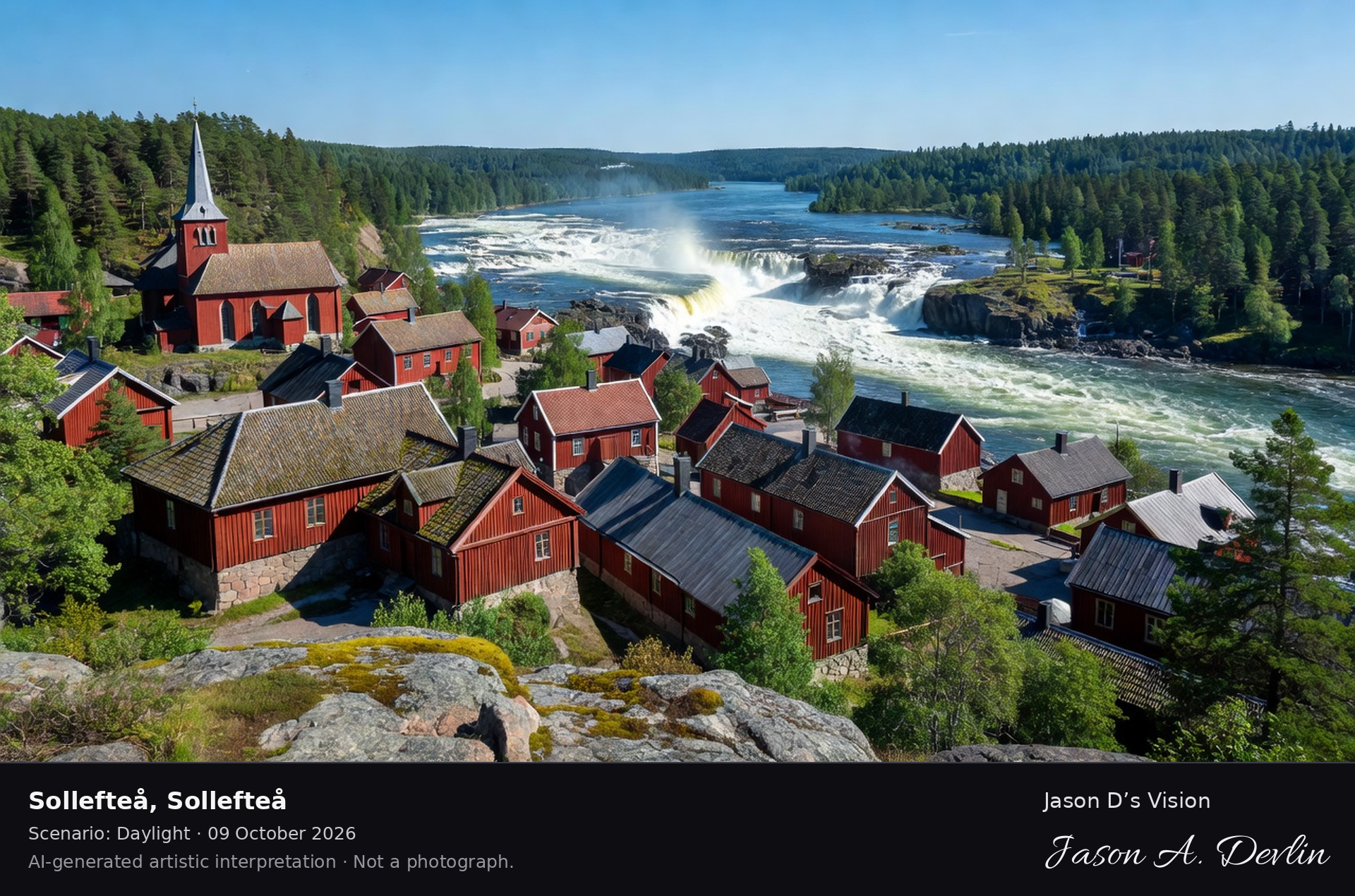
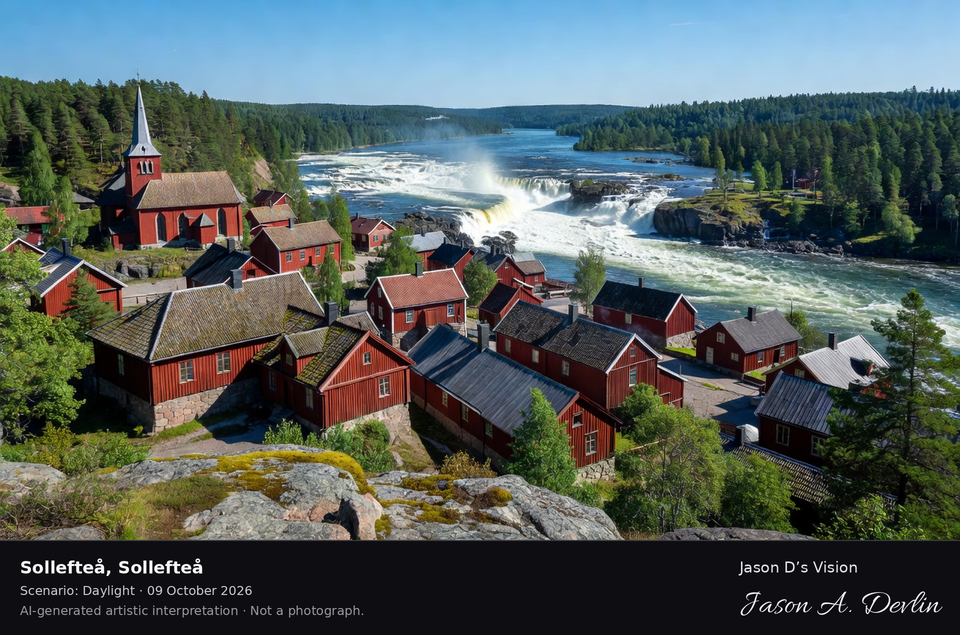
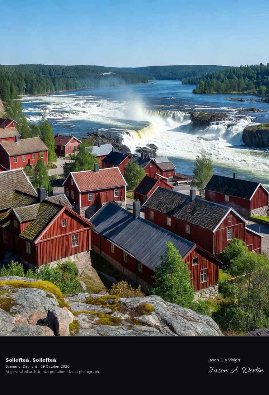
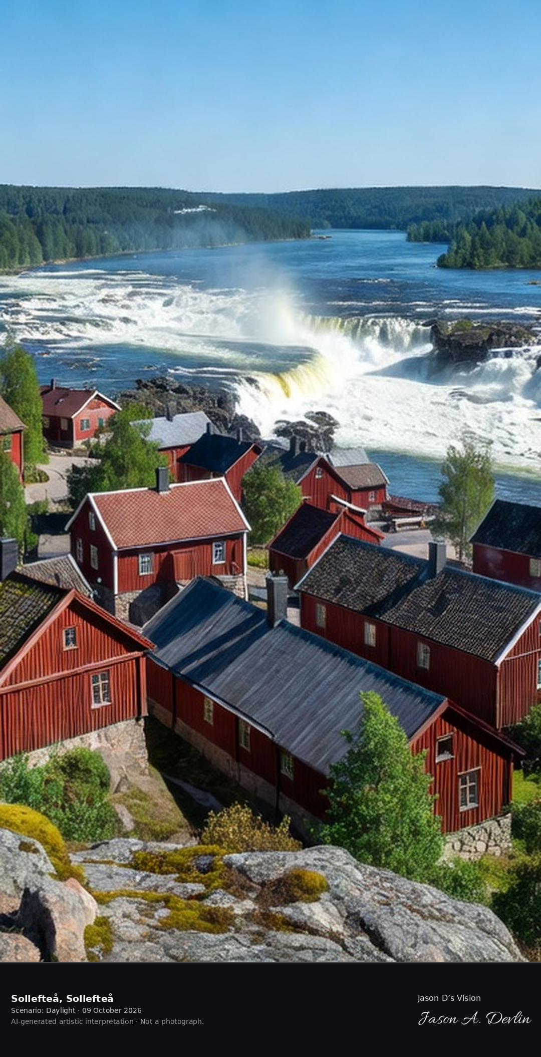
Sollefteå's historic town on the Ångermanälven rapids, the former garrison town with its 18th-century church and the mighty river's falls.
Sollefteå in Sollefteå: the historic red timber town on the Ångermanälven rapids, the 18th-century church by the falls, the mighty river and forested valley, all in bright daylight.
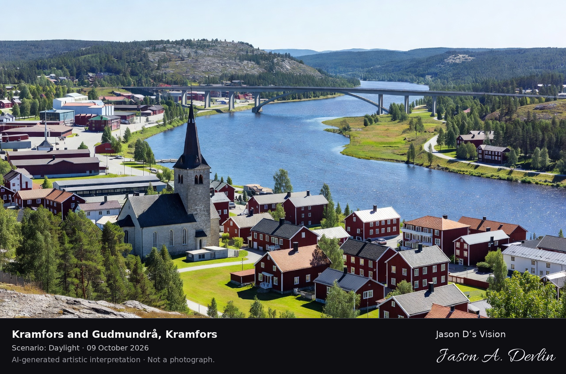
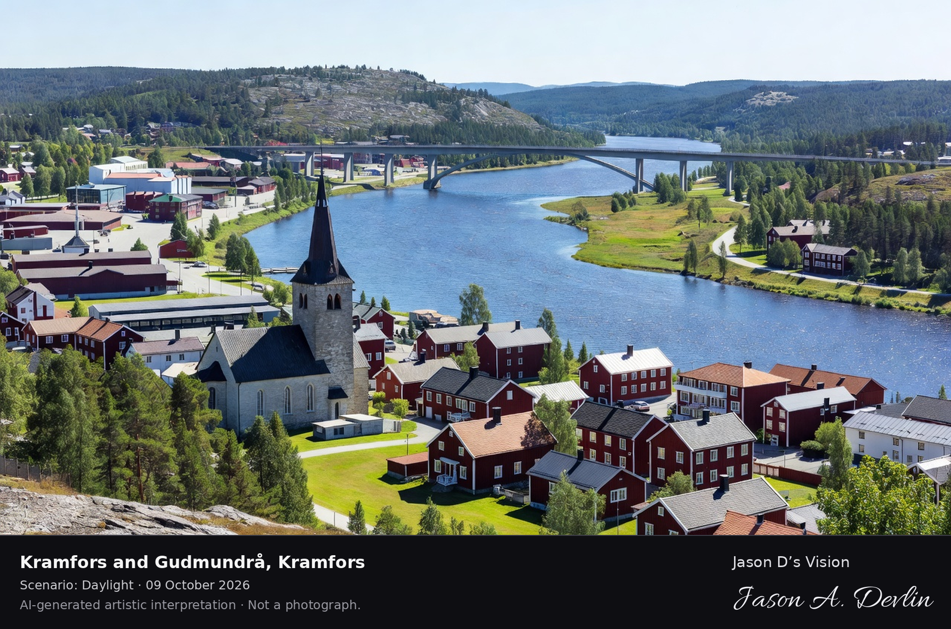
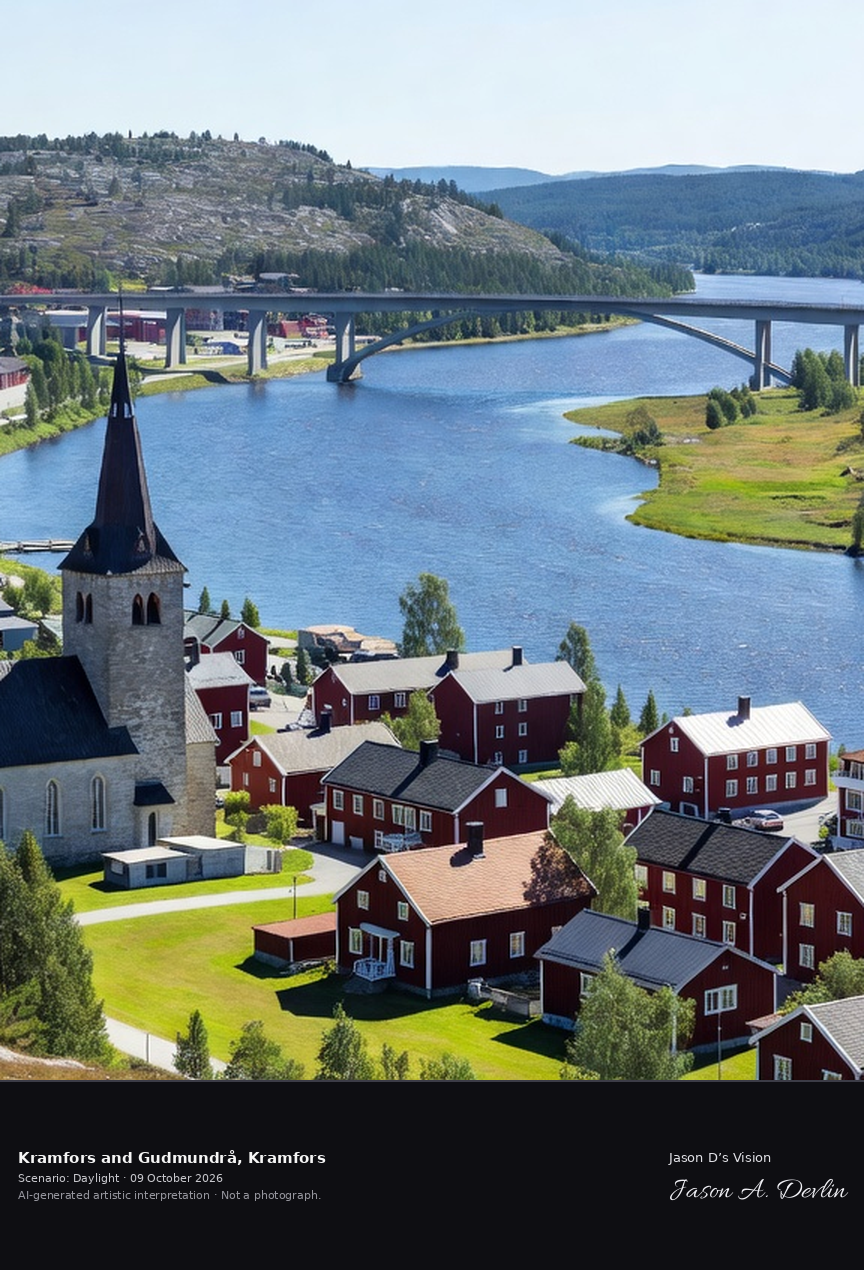
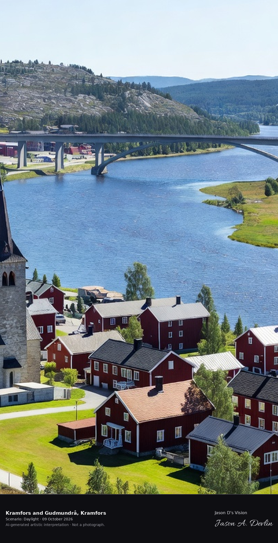
Kramfors town on the Ångermanälven with the Gudmundrå church's distinctive tower, the High Coast's industrial heart with the river and the Sandö Bridge.
Kramfors and Gudmundrå in Kramfors: the town on the Ångermanälven with the Gudmundrå church's distinctive tower, the long arched bridge over the river and the High Coast's industrial shore, all in bright daylight.
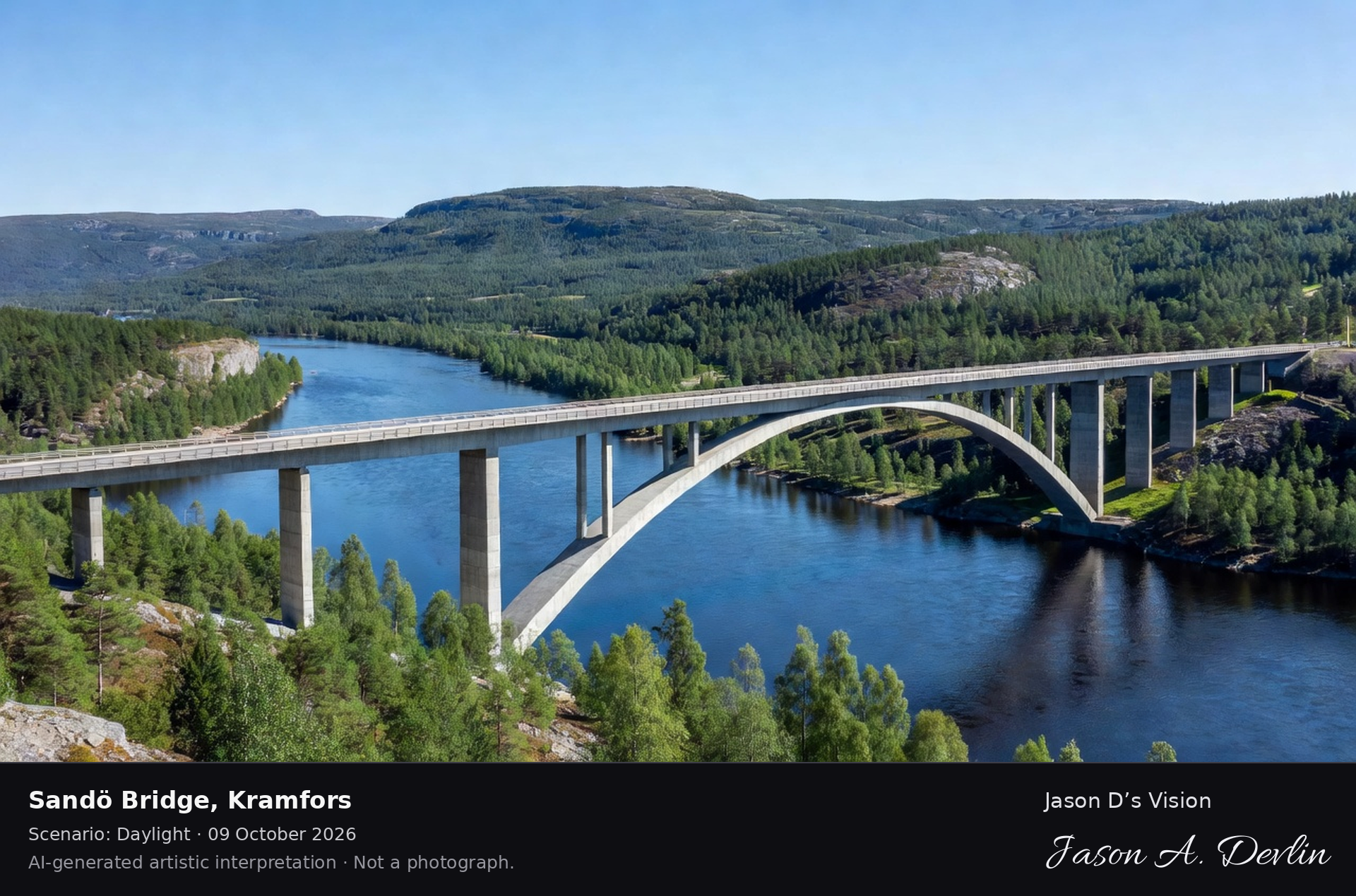
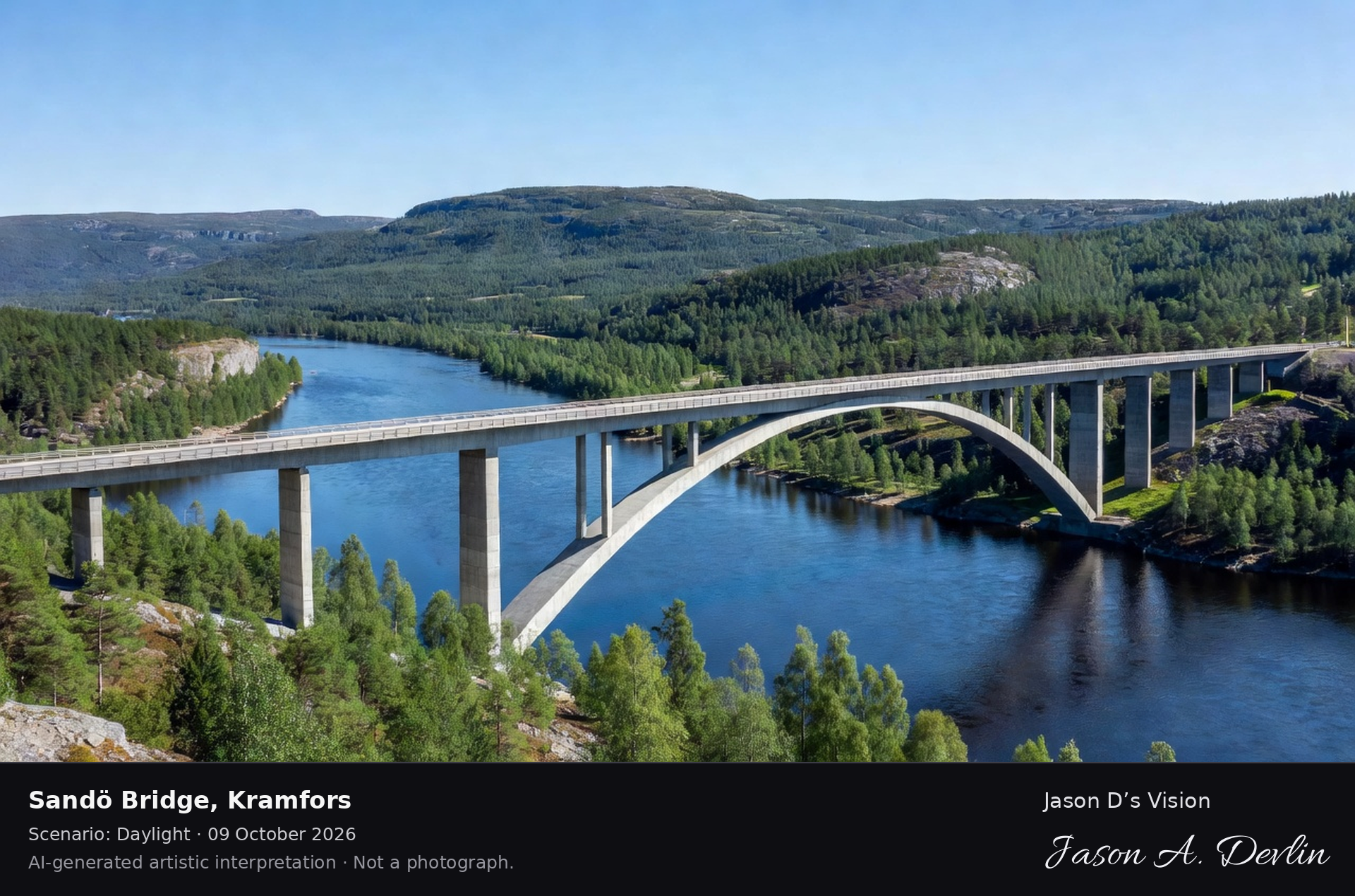
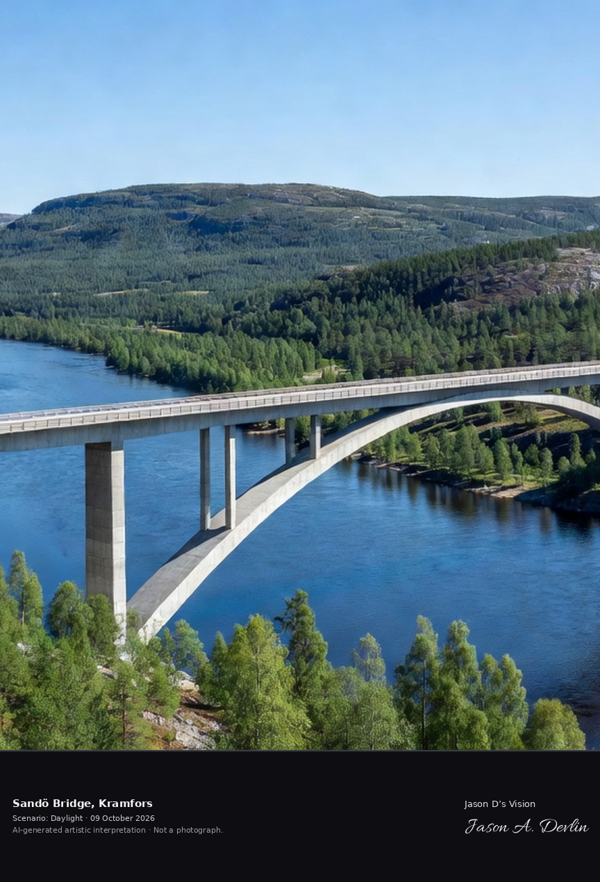
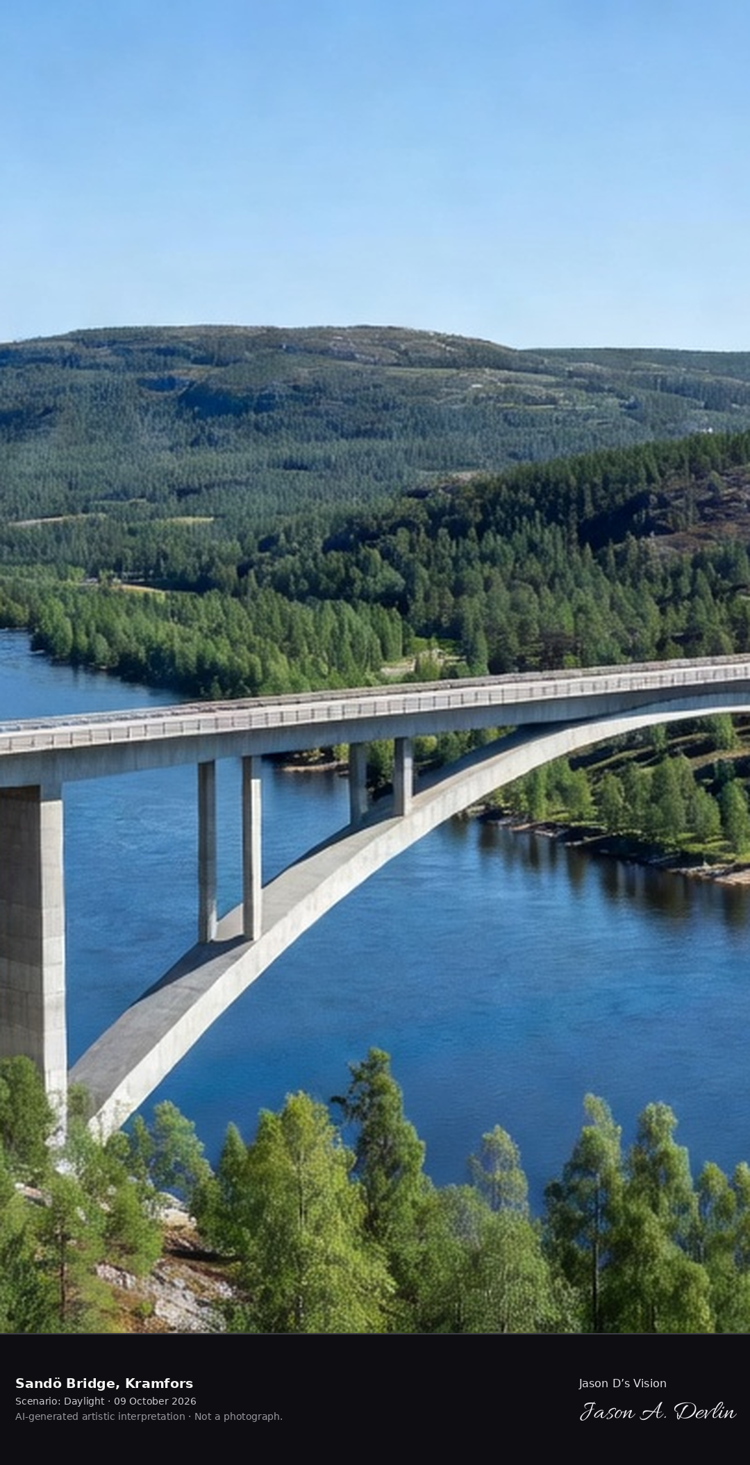
The Sandö Bridge's concrete arch spanning the Ångermanälven, Sweden's longest single-span concrete arch bridge with the High Coast hills and the river below.
Sandö Bridge in Kramfors: the concrete arch spanning the Ångermanälven, Sweden's longest single-span concrete arch bridge, with the High Coast hills and the river below, all in bright daylight.
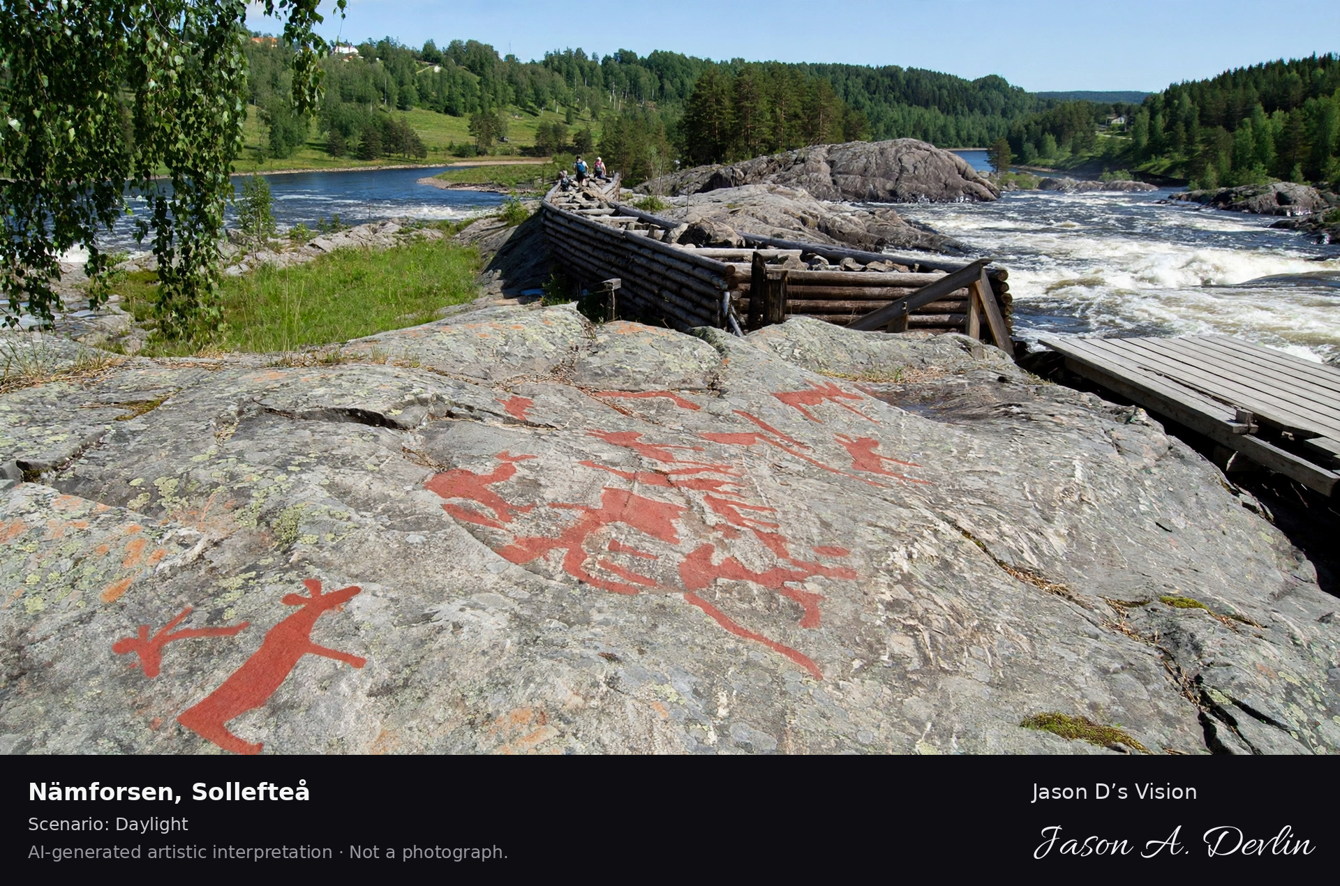
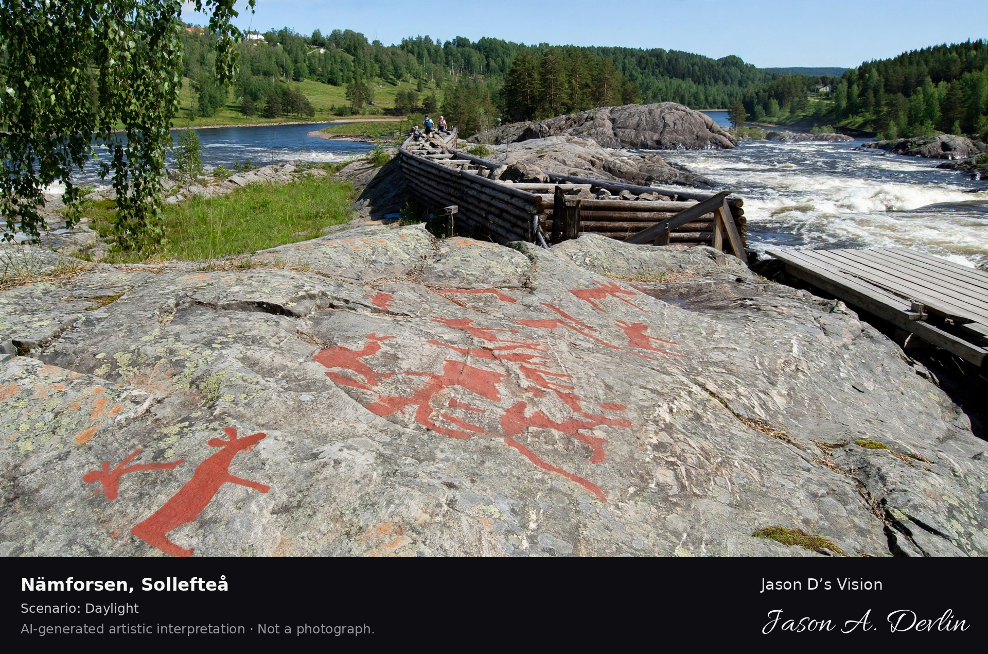
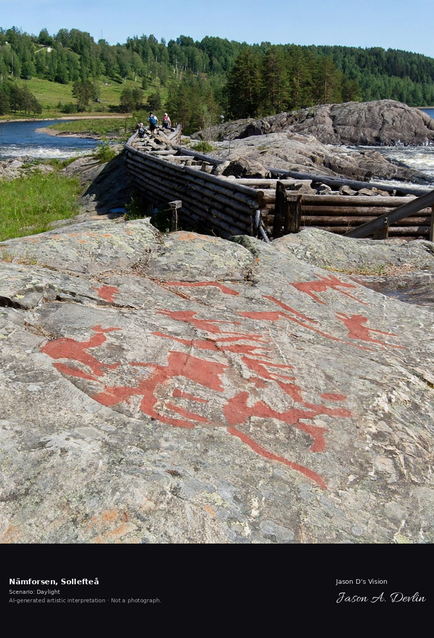
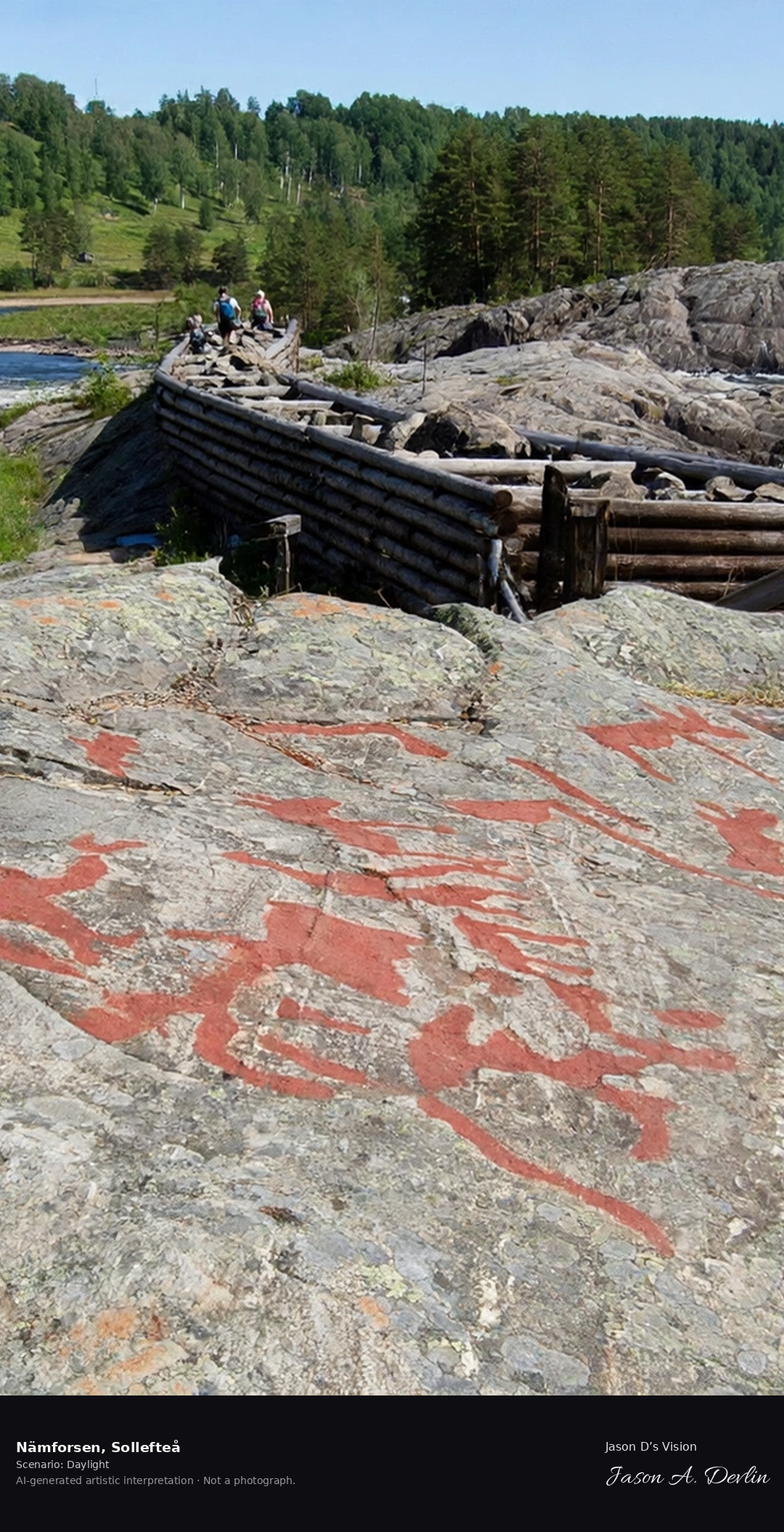
Nämforsen's rock carvings on the Ångermanälven rapids, one of Europe's largest Stone Age rock art sites with 2,500 figures carved 4,000-6,000 years ago.
Nämforsen in Sollefteå: the Stone Age rock carvings beside the Ångermanälven rapids, one of Europe's largest rock art sites with 2,500 figures carved 4,000–6,000 years ago, all in bright daylight.
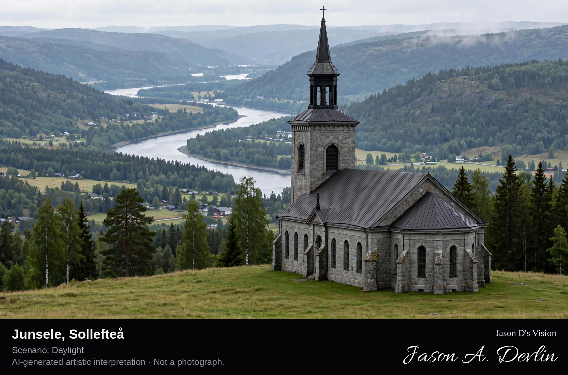
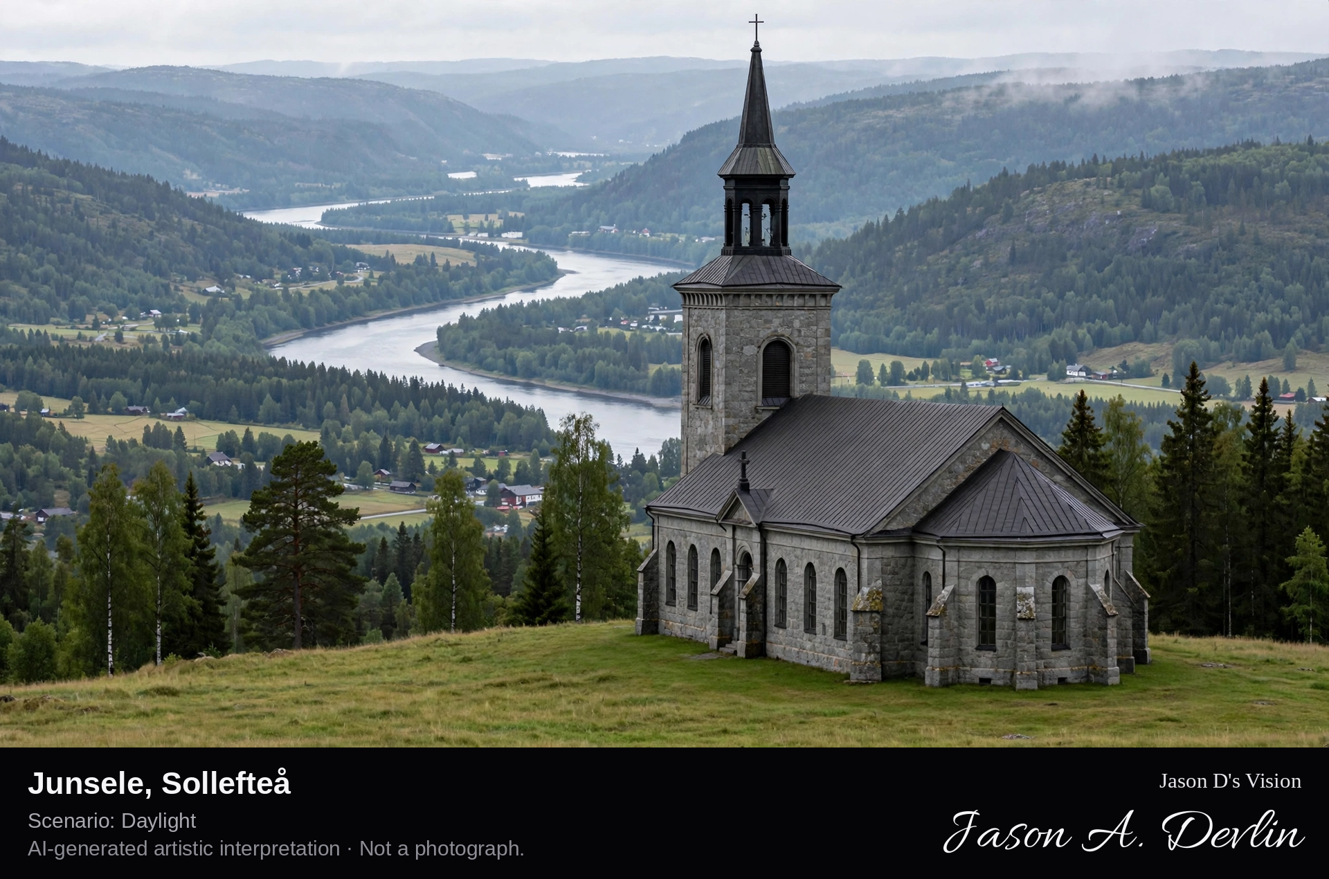
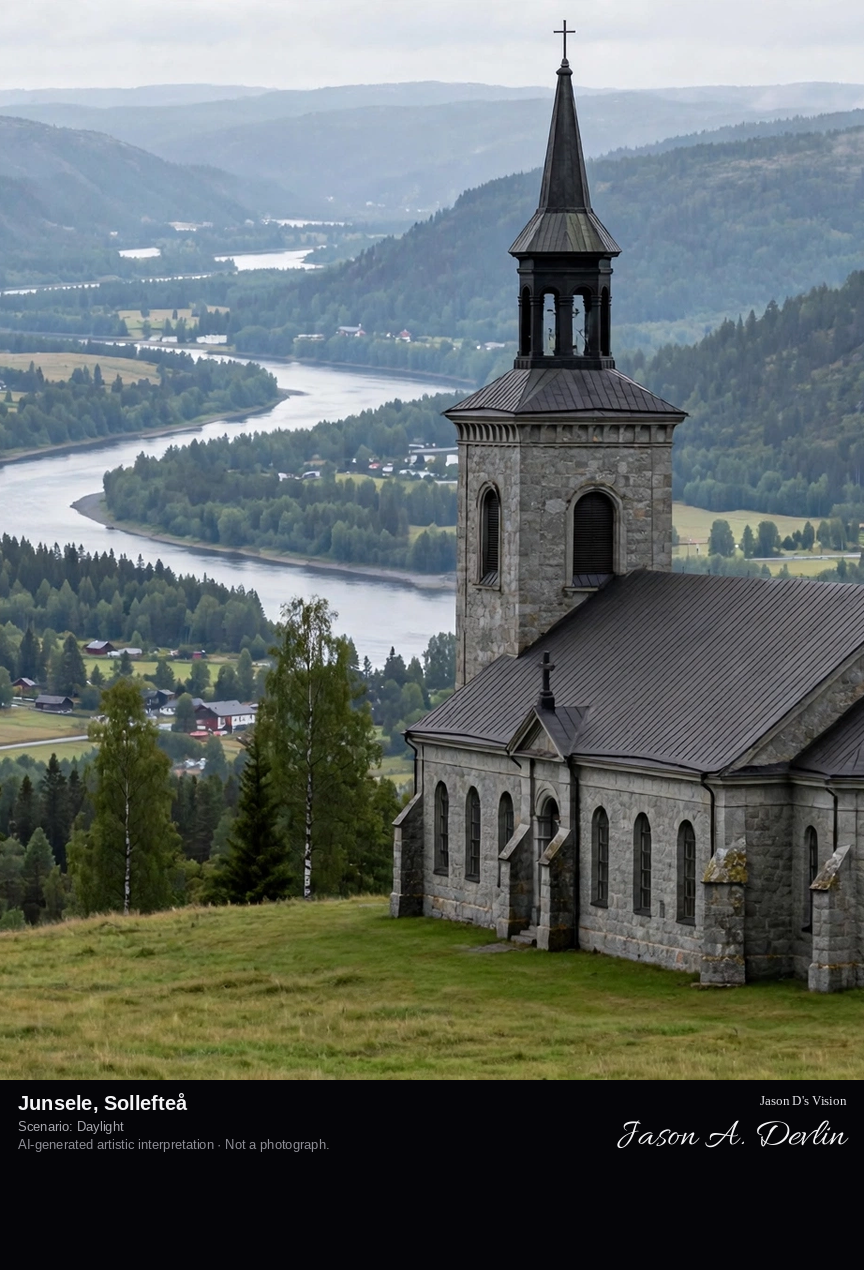
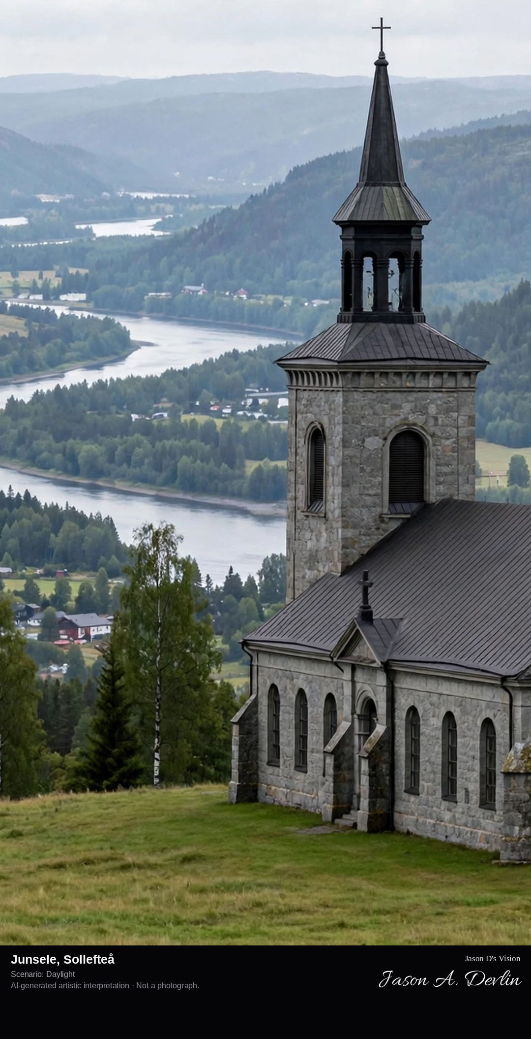
Junsele's church village on the Ångermanälven, the historic parish with its 18th-century church and the river valley's forested hills in the Ångermanland interior.
Junsele in Sollefteå: the historic church village on the Ångermanälven, with its 18th-century wooden church and red farmhouses set in the forested river valley of the Ångermanland interior, all in bright daylight.
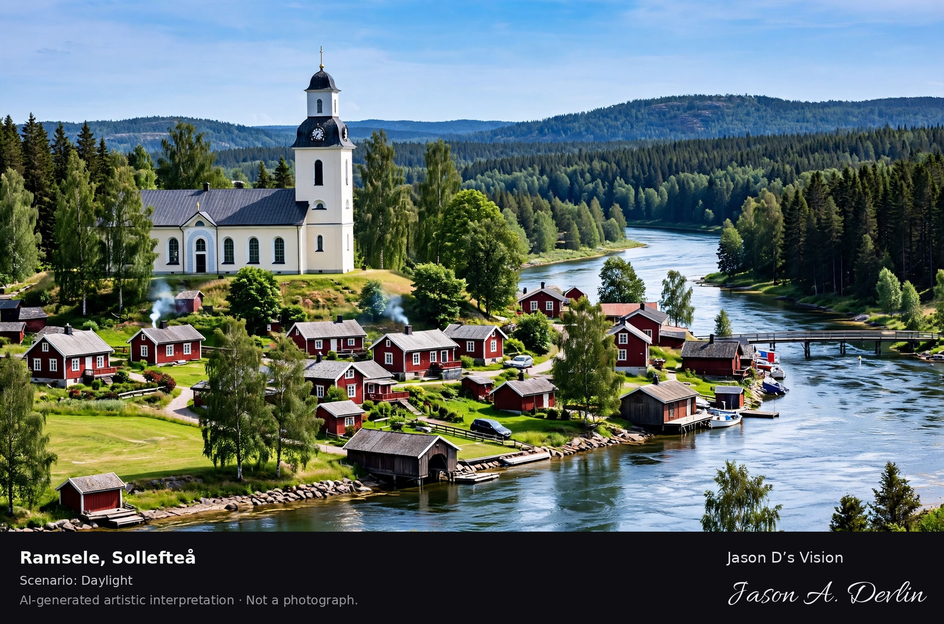
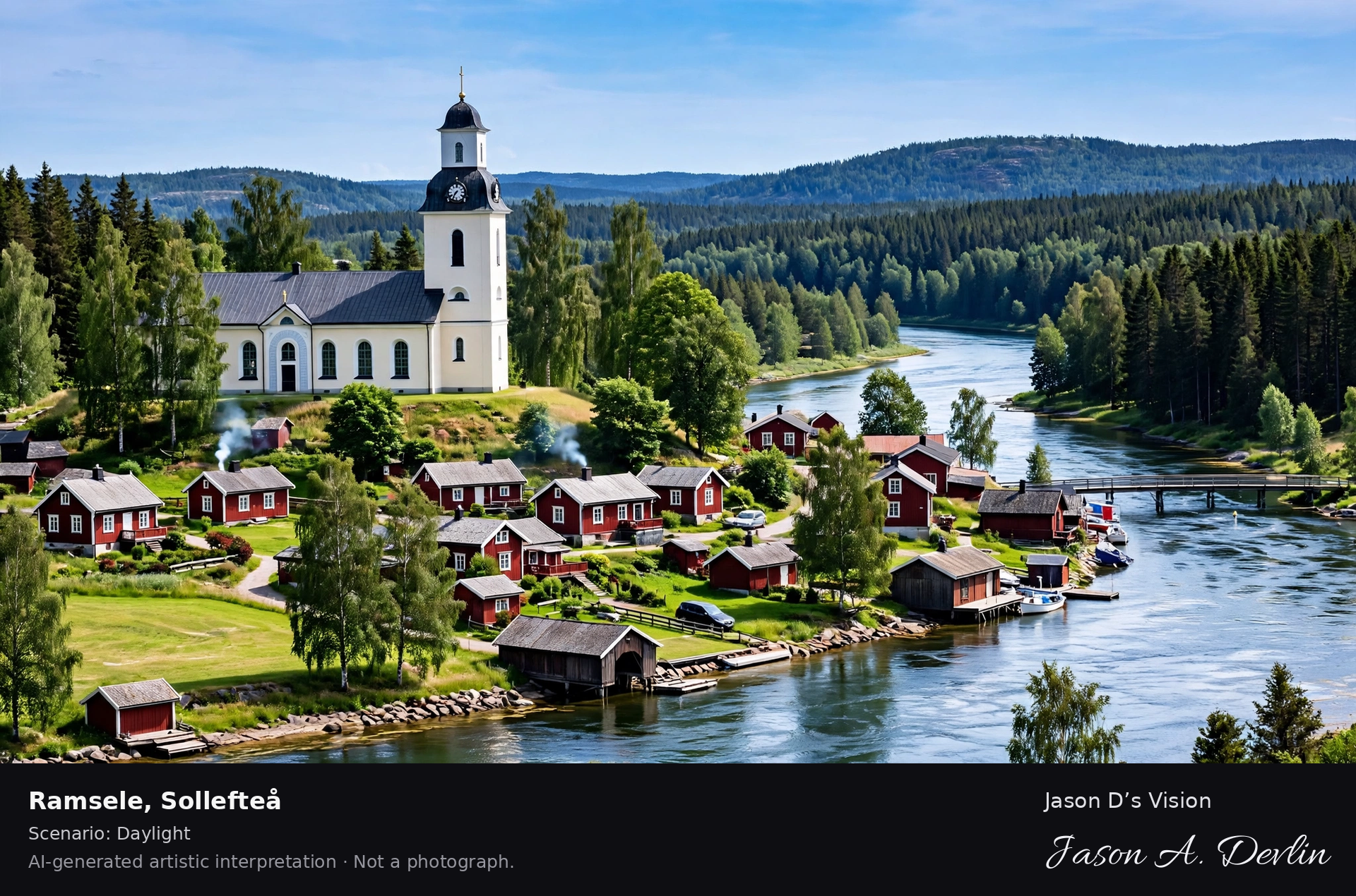
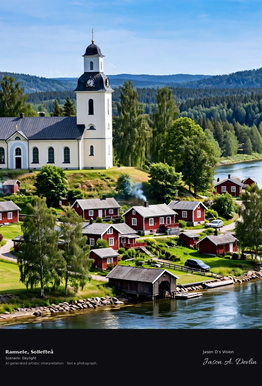
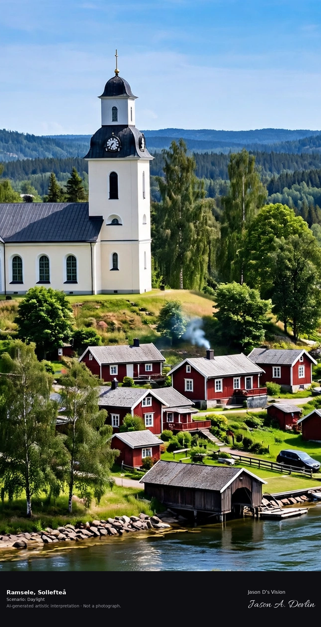
Ramsele's old church village on the Faxälven, the historic parish with its 19th-century church and the northern river landscape.
Ramsele in Sollefteå: the old church village on the Faxälven, the historic parish with its 19th-century church and the northern river landscape, all in bright daylight.
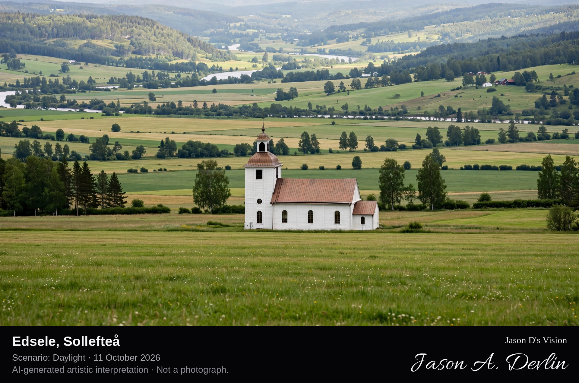
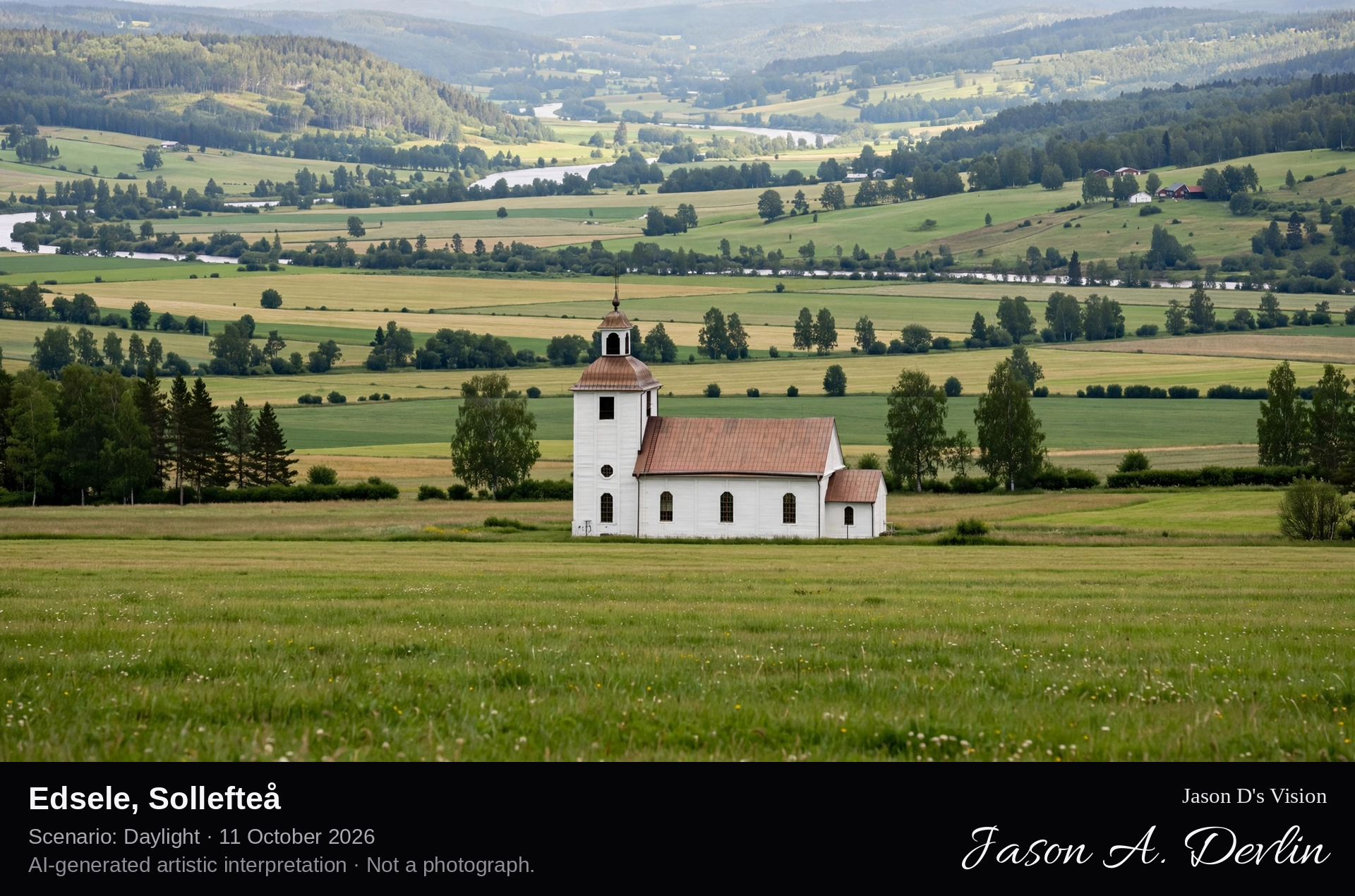
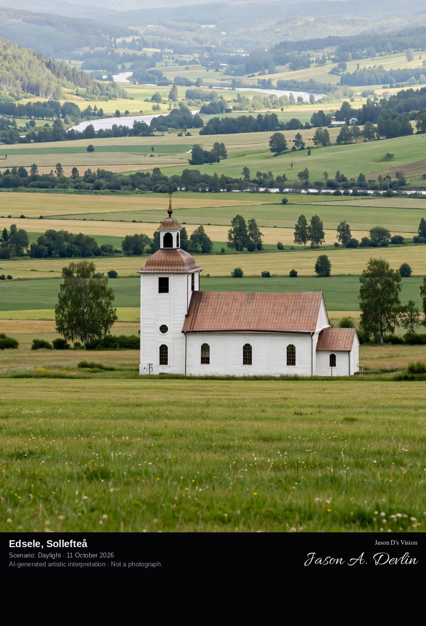
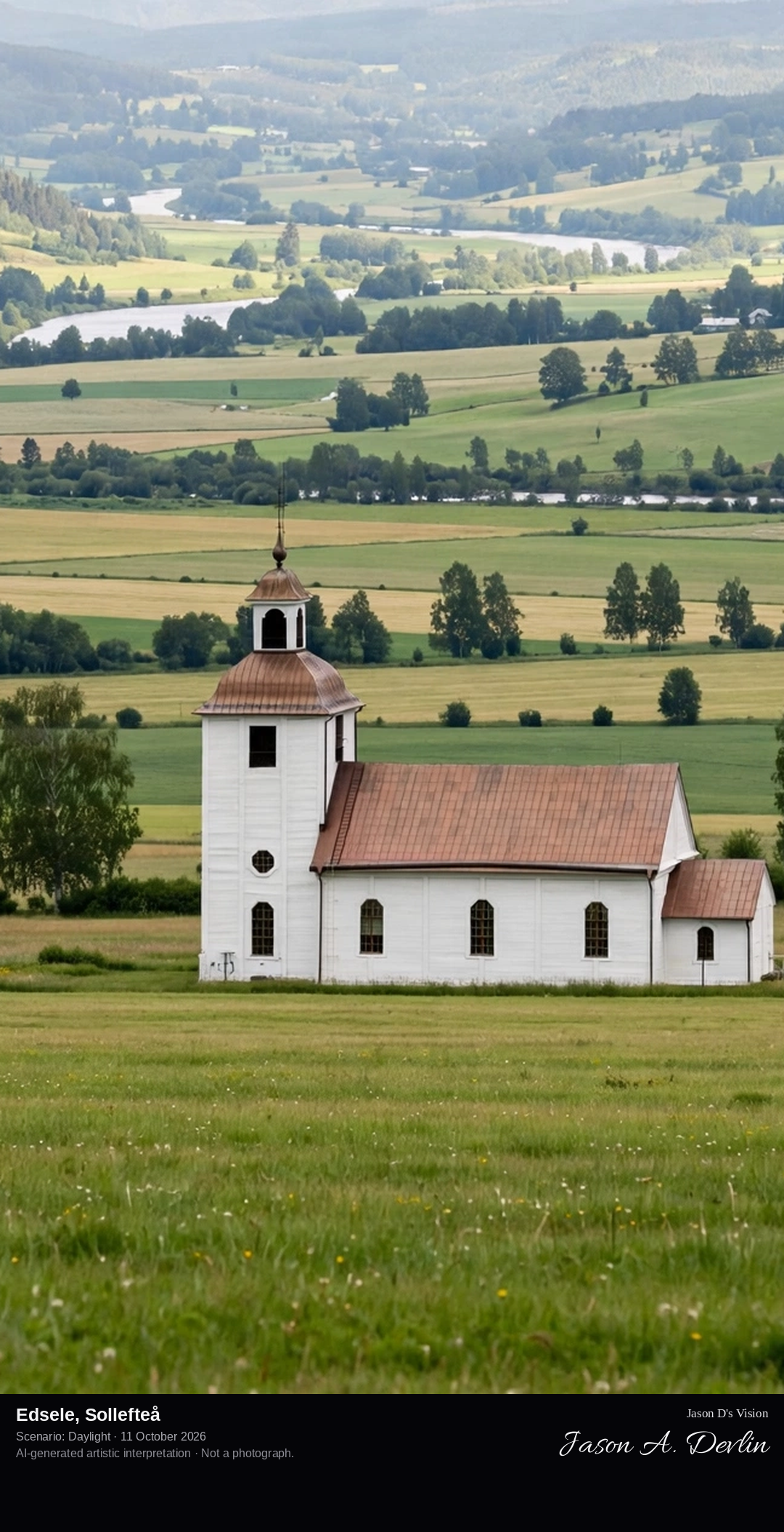
Edsele's forest church village in the Ångermanland interior, the small parish with its wooden church among the northern pines.
Edsele's forest church village in the Ångermanland interior: the small red wooden parish church with its steeple standing in a rocky clearing among tall northern pines, moss and moraine stones at its feet, all in bright natural daylight.
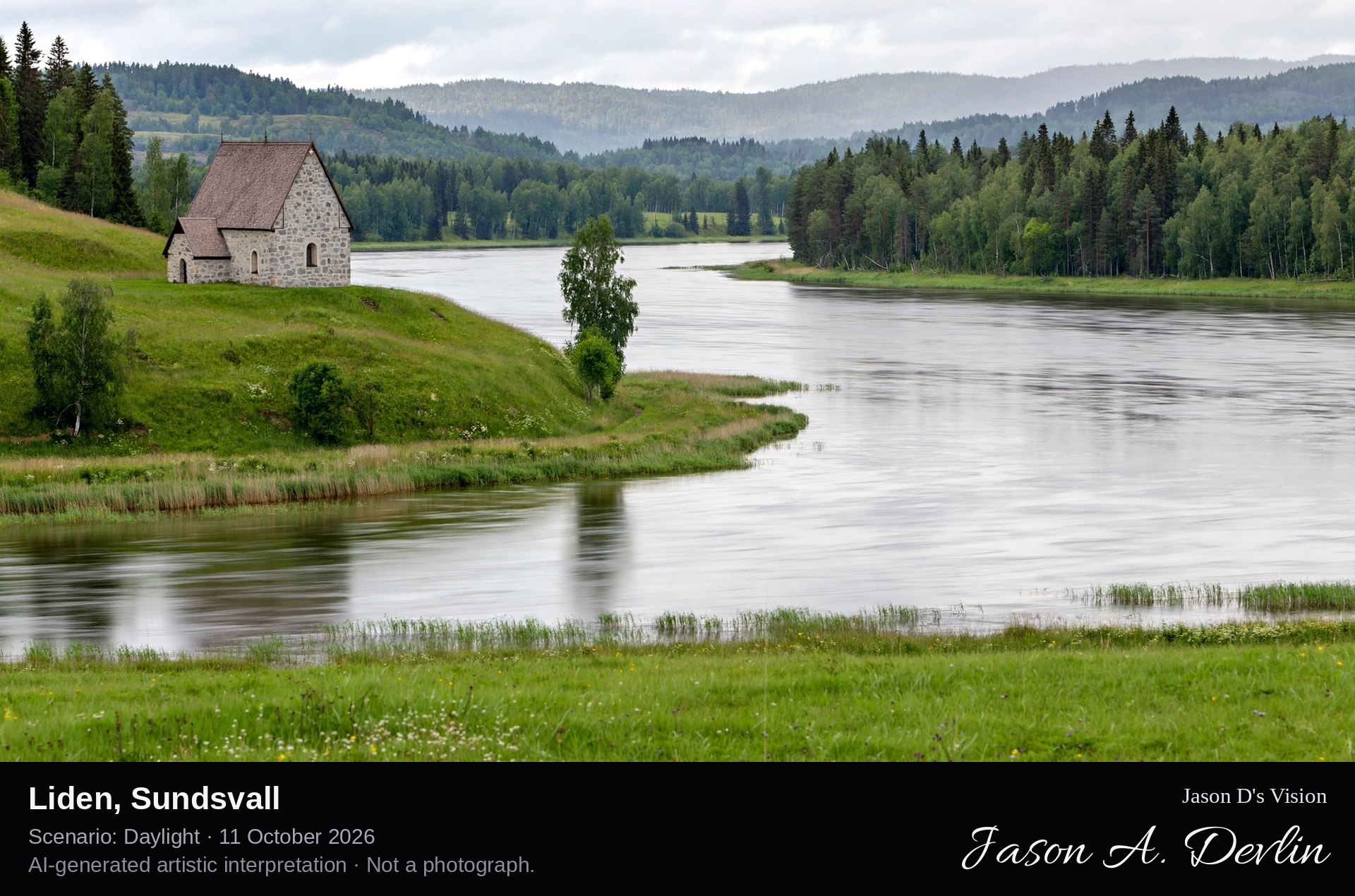
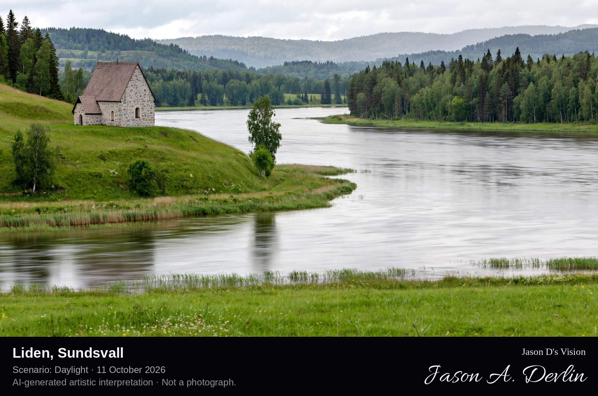
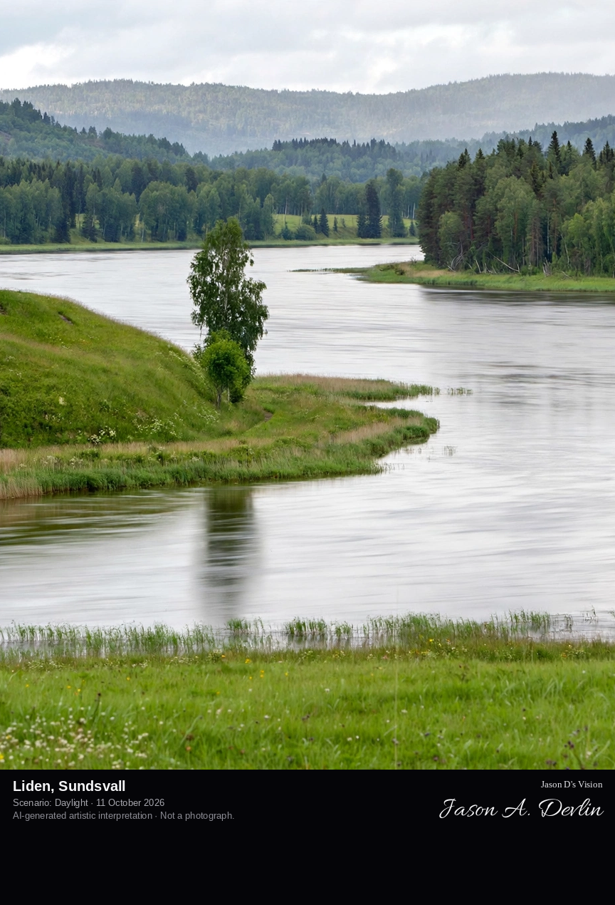
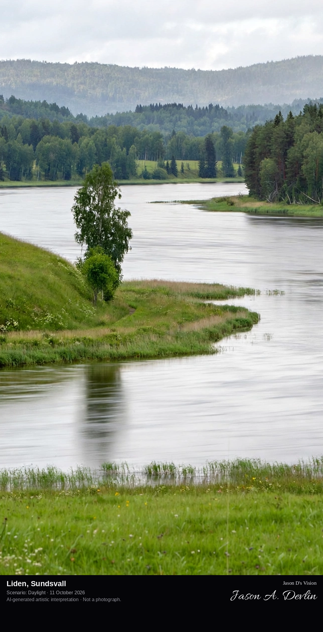
Liden's old church village on the Indalsälven, the historic parish with the Döda Fallet's dry rapids nearby and the Medelpad forest hills.
Liden's old church village on the Indalsälven: the historic Medelpad parish of timber houses and a church with steeple along the river's banks, white water rushing over the rapids, forested hills rising beyond — bright natural daylight.
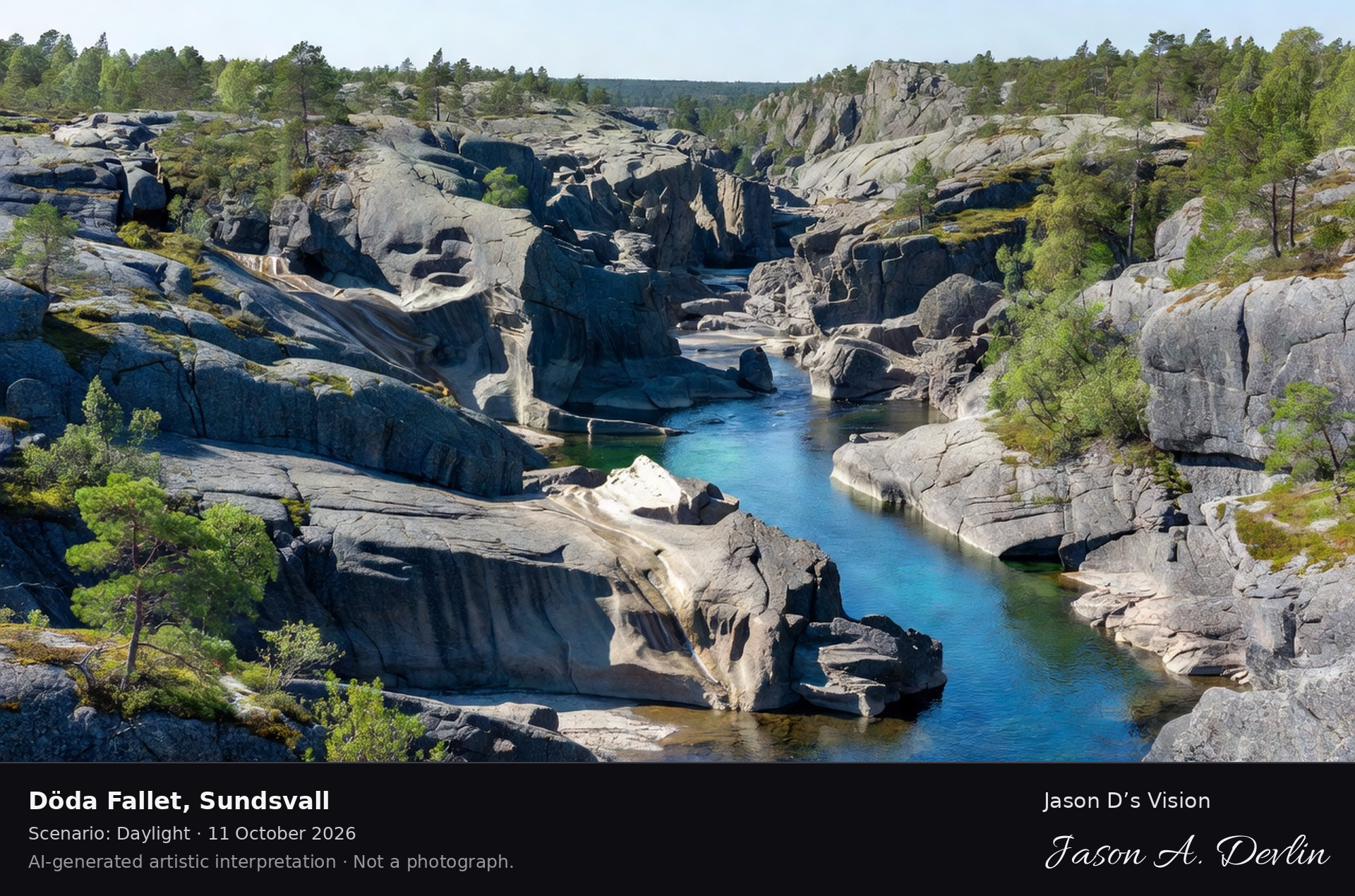
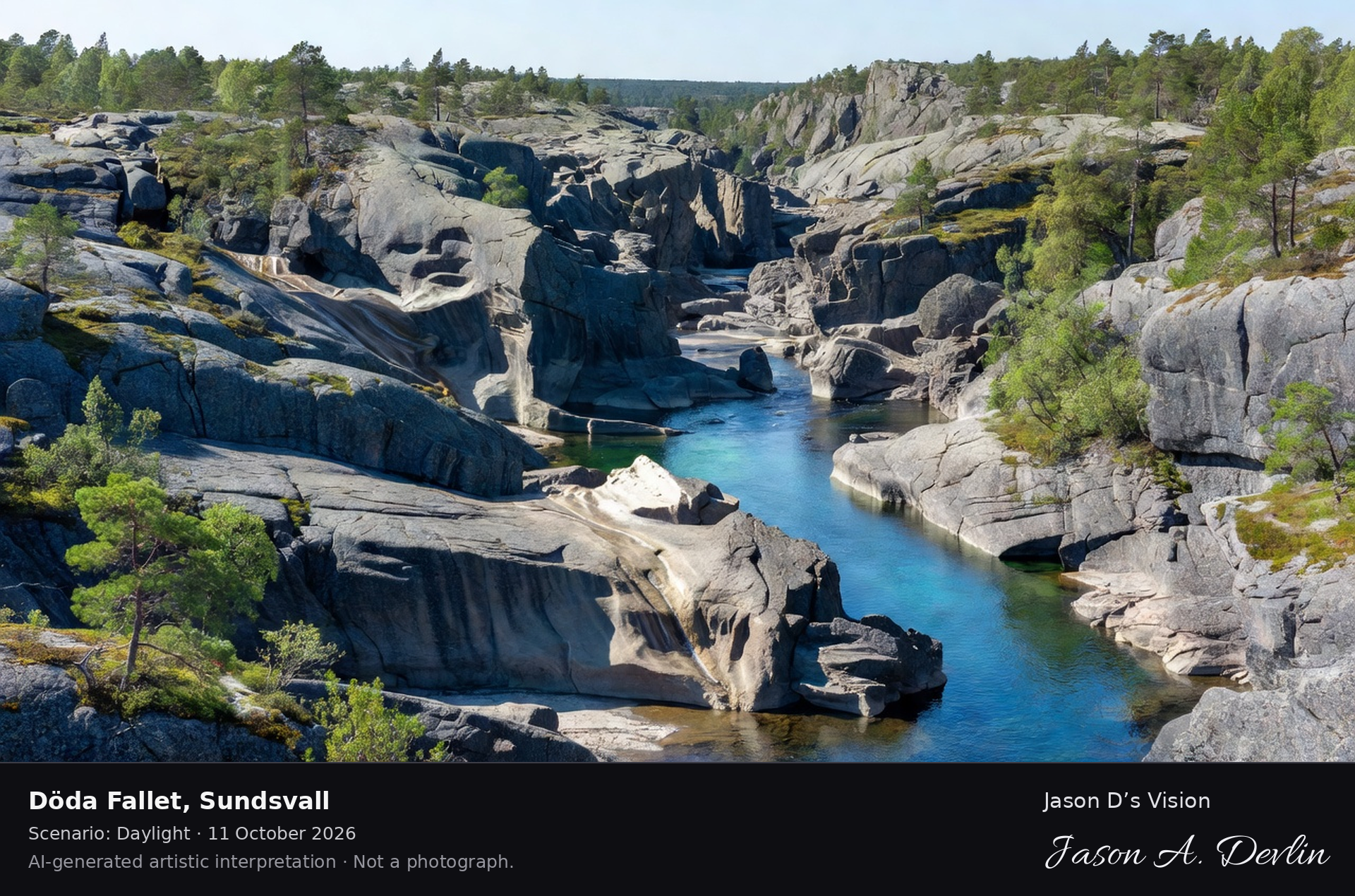
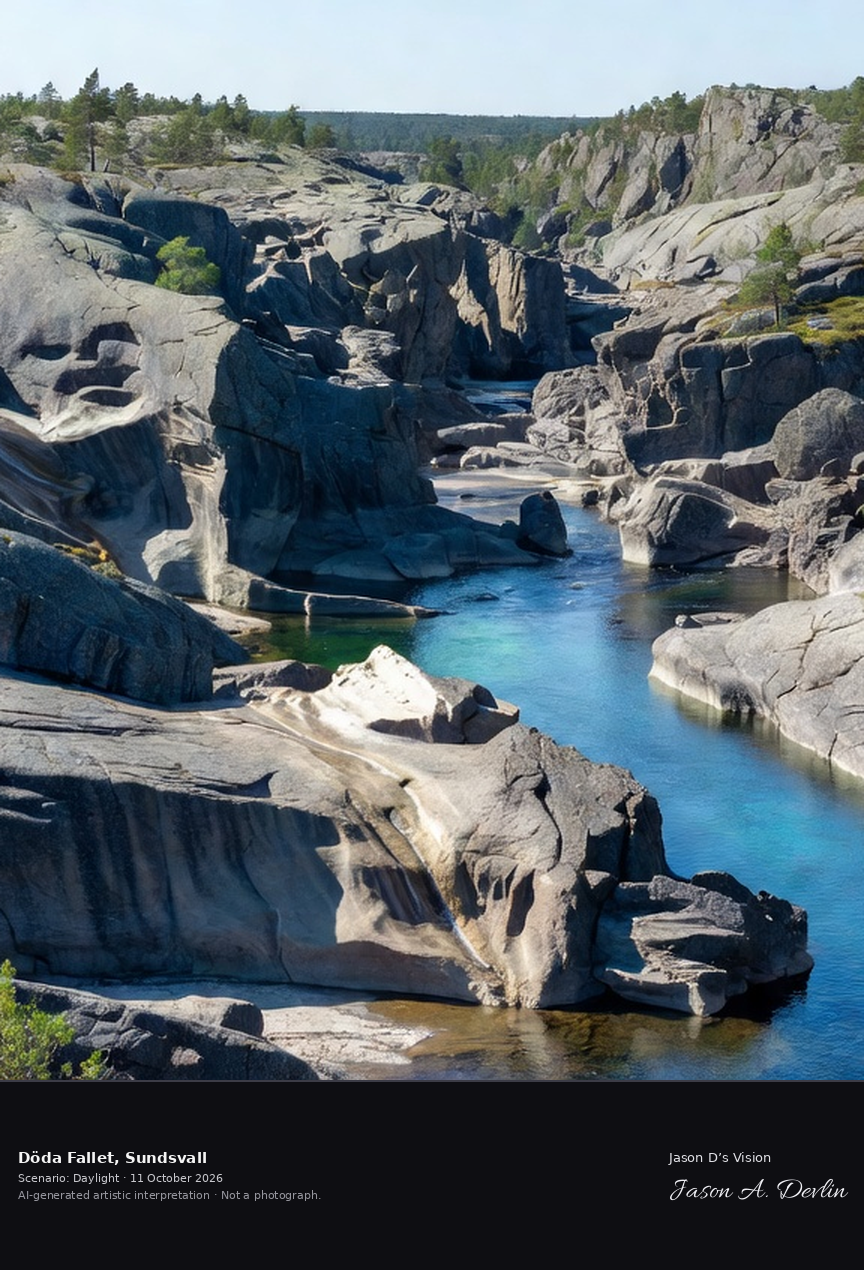
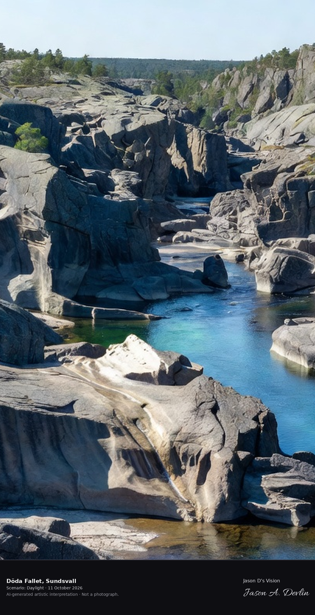
Döda Fallet's dry rapids, the 'dead falls' where the Indalsälven was diverted in 1796, now a dramatic canyon of sculpted rock with the new river channel beside it.
Döda Fallet's dead falls: the dramatic canyon of sculpted rock where the Indalsälven was diverted in 1796 — giant water-worn potholes and smooth carved walls, the new river channel running with white rapids beside the dry old bed, in bright natural daylight.
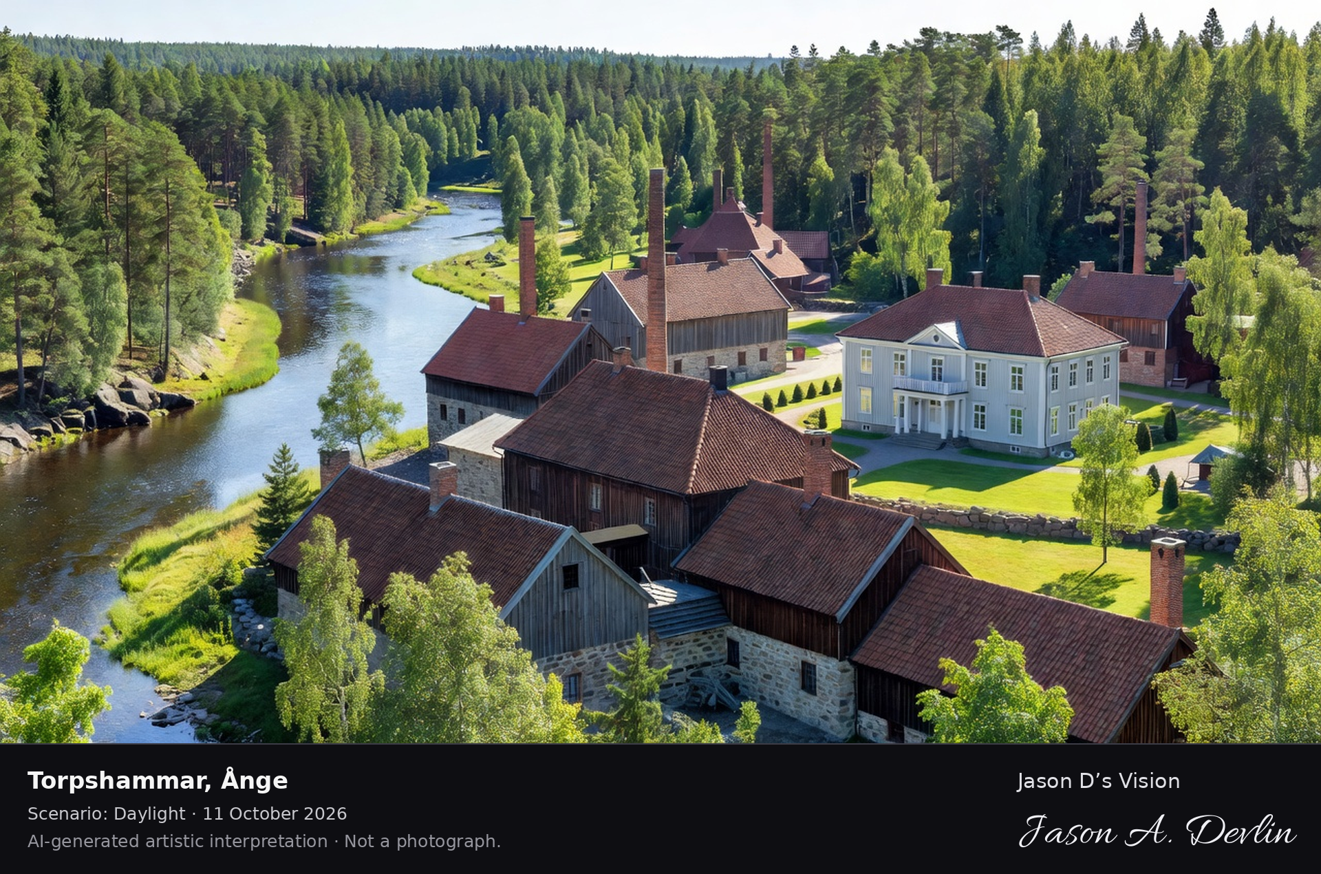
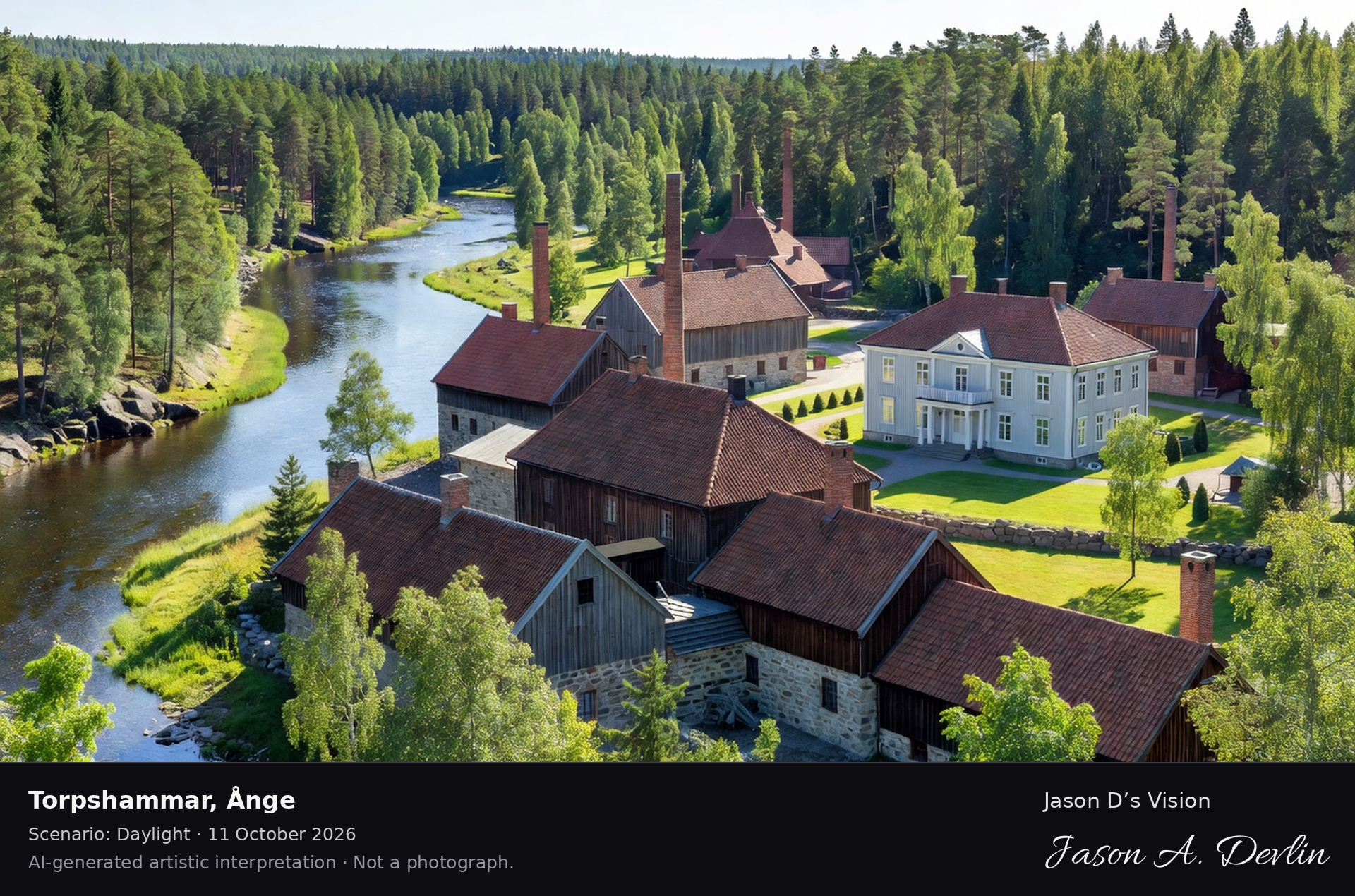
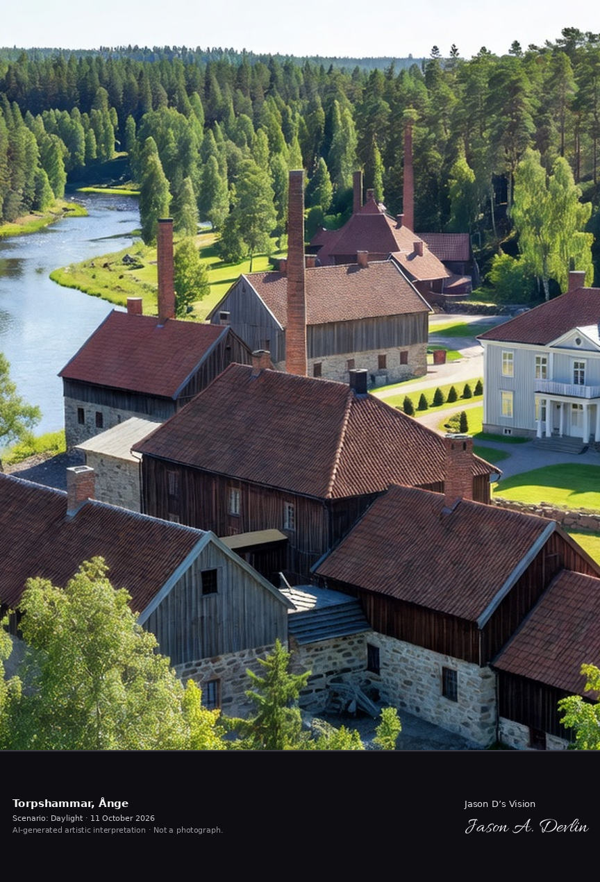
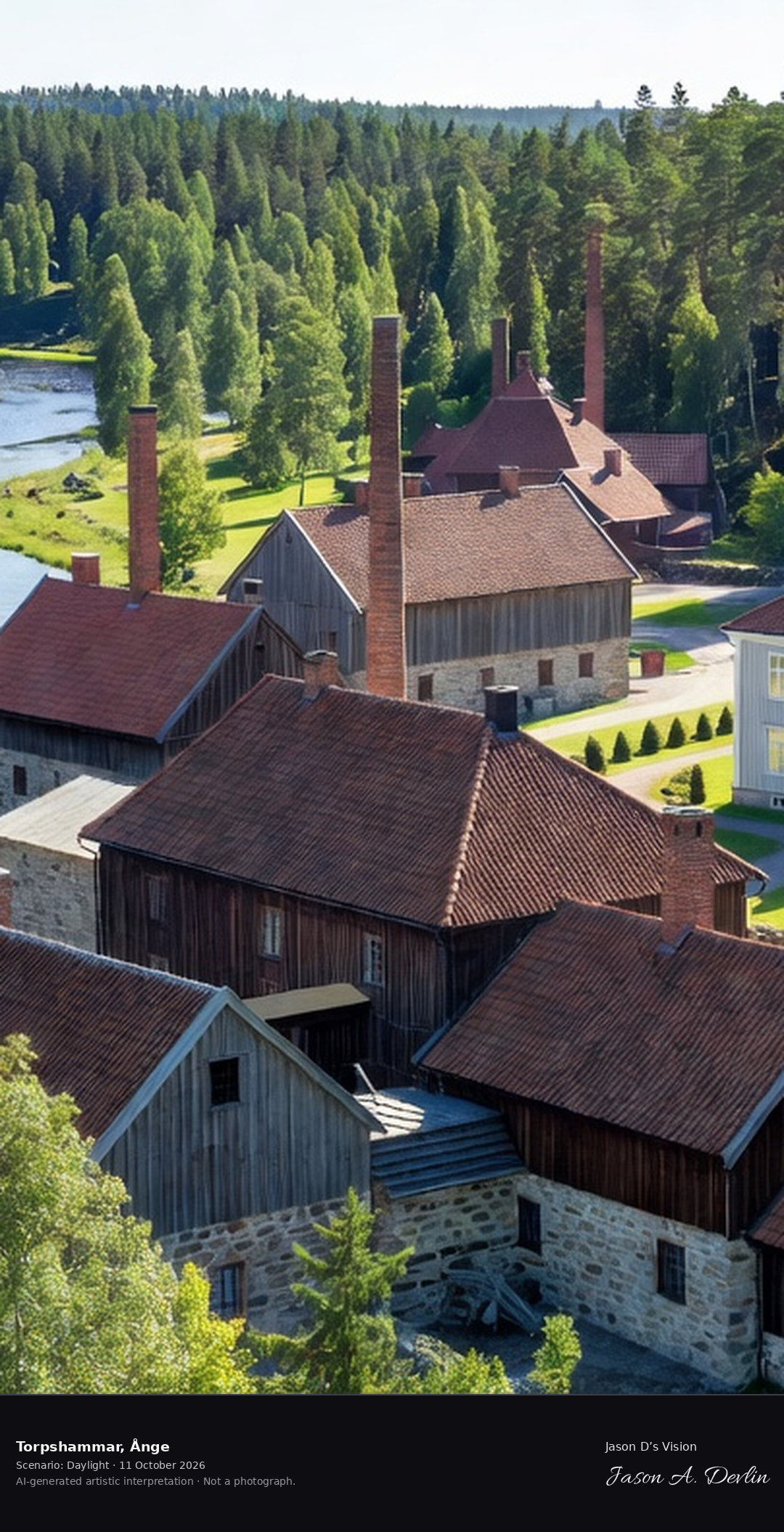
Torpshammar's historic ironworks village on the Ljungan, the preserved 18th-century works with its manor and the river in the Medelpad forest.
Torpshammar's historic ironworks village on the Ljungan: the preserved 18th-century works with its tall brick chimneys, dark timber buildings and red-tiled roofs, the white manor house with its lawn, and the river winding through the Medelpad pine forest, in bright natural daylight.
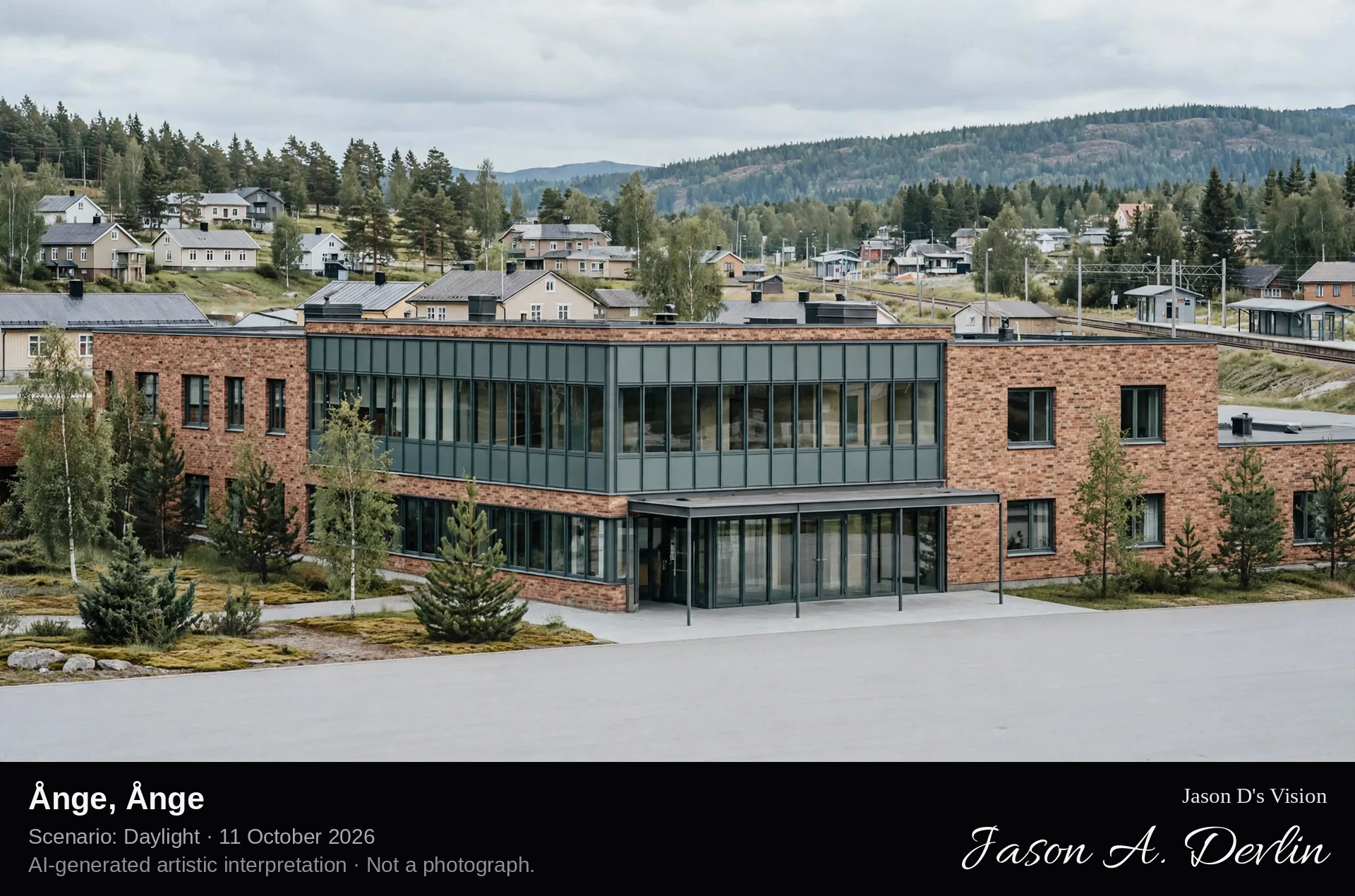
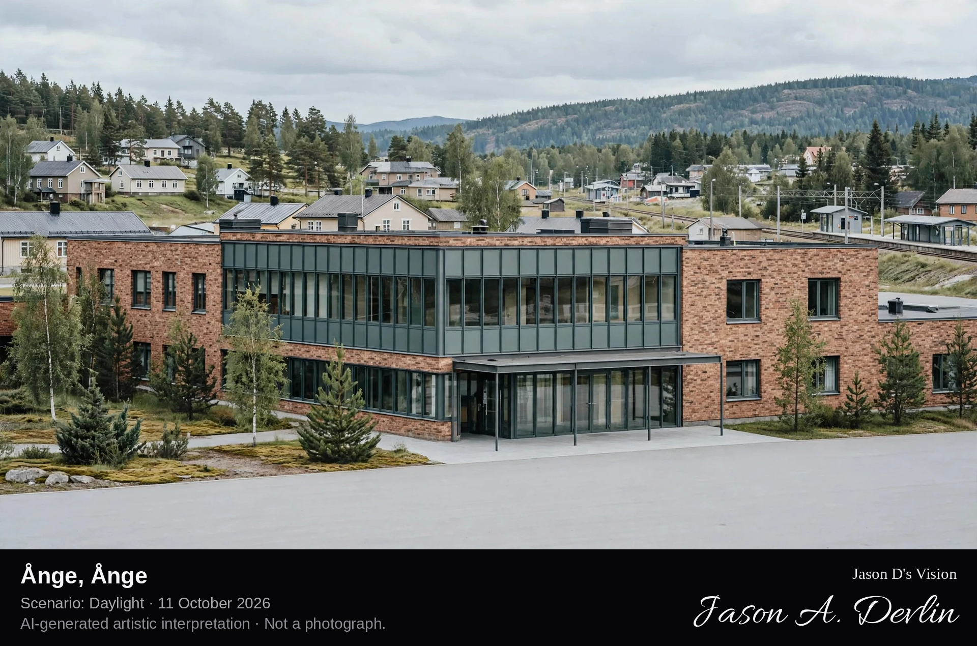
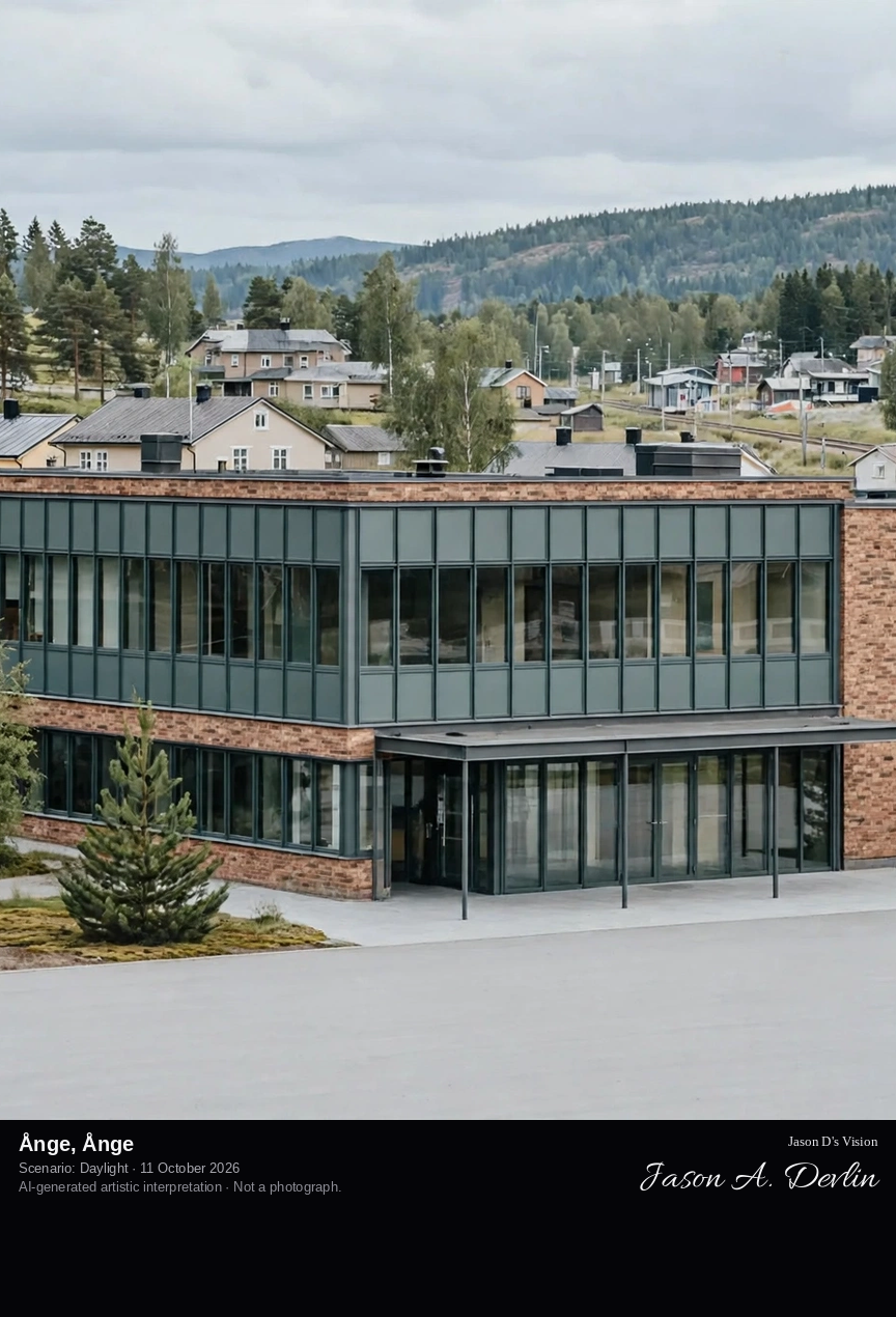
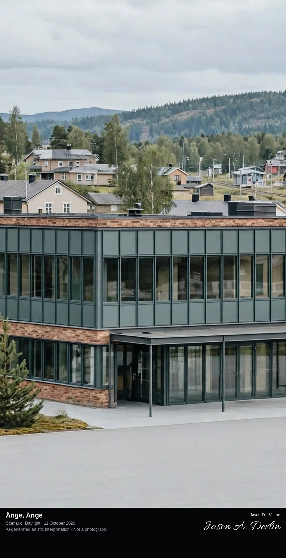
Ånge's railway town center, the historic junction where the northern main line meets the Mittbanan, with its 19th-century station and the Medelpad forest beyond.
Ånge's railway town center: the historic junction where the northern main line meets the Mittbanan, the 19th-century brick station with its platform canopy, junction tracks and signals curving through the Medelpad pine forest, in bright natural daylight.
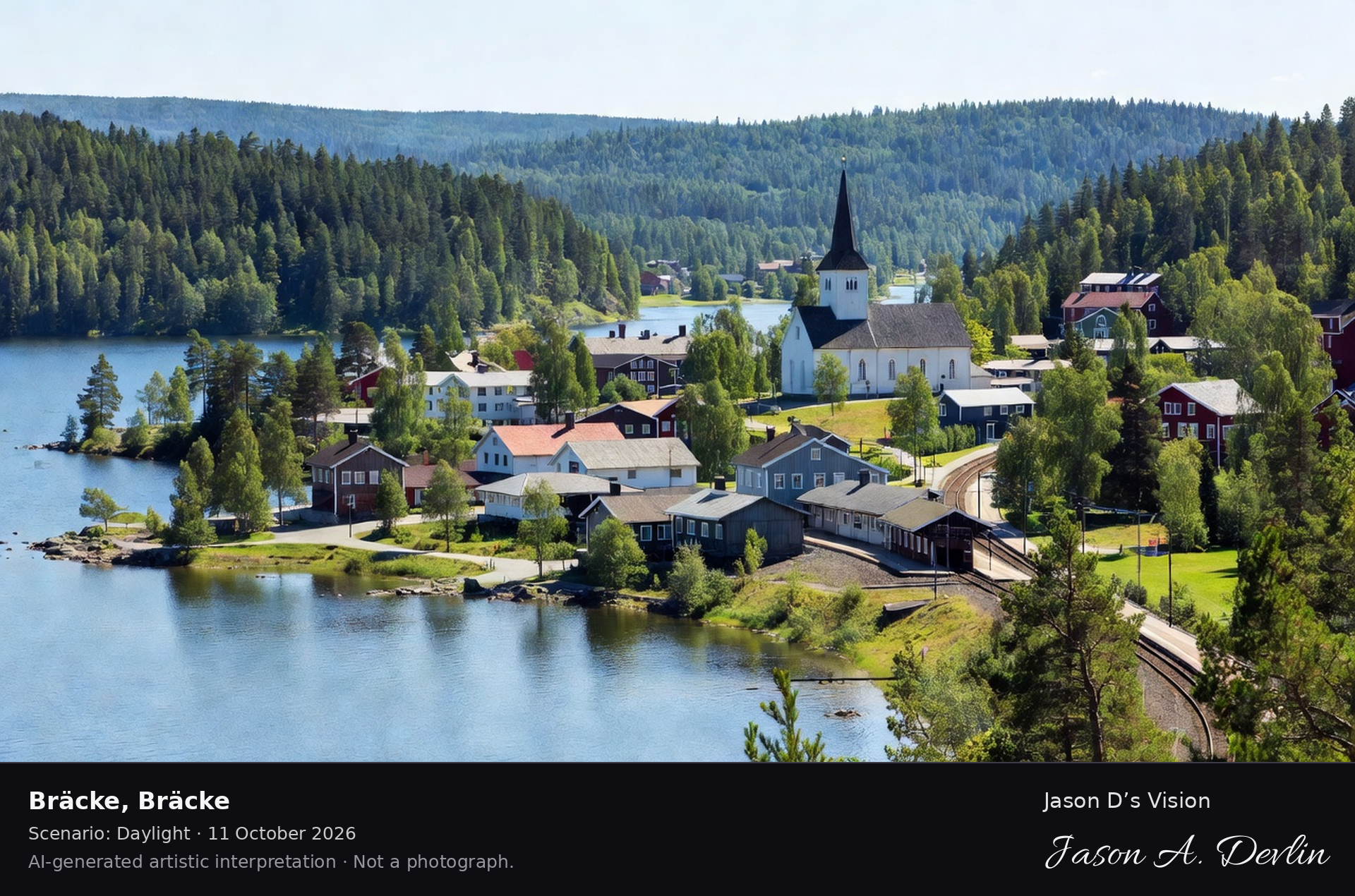
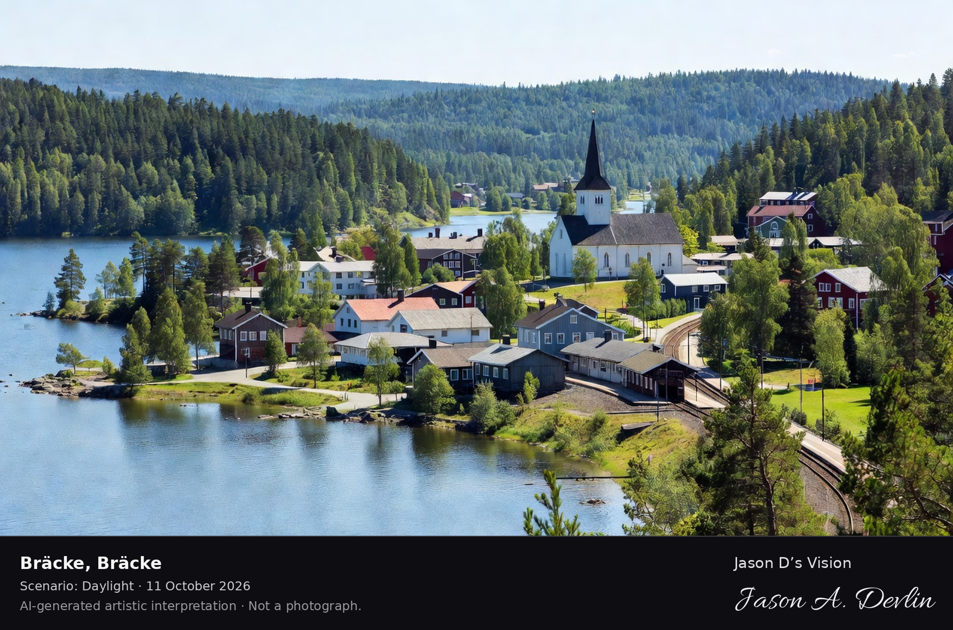
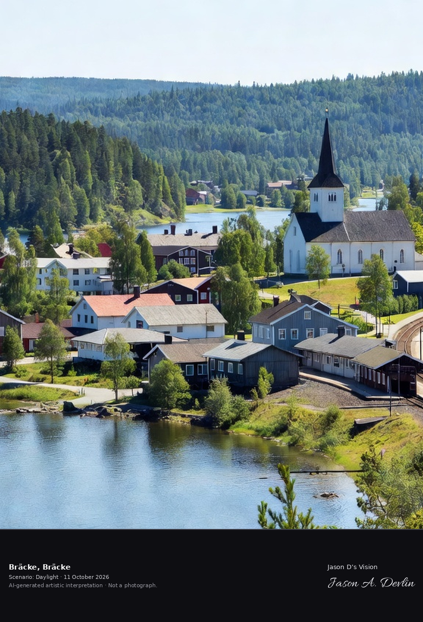
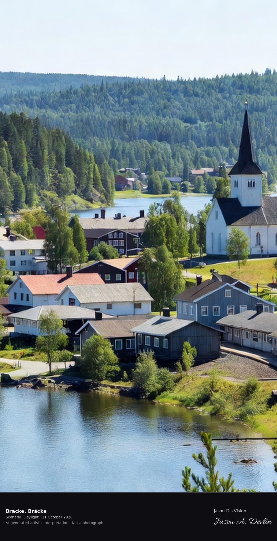
Bräcke's lakeside town on Lake Revsund, the Jämtland railway town with its church and the forested hills of the Norrland interior.
Bräcke's lakeside town on Lake Revsund: the Jämtland railway town with its white church and tall spire among red and white timber houses on the lake shore, the railway curving through, and the forested hills of the Norrland interior beyond, in bright natural daylight.
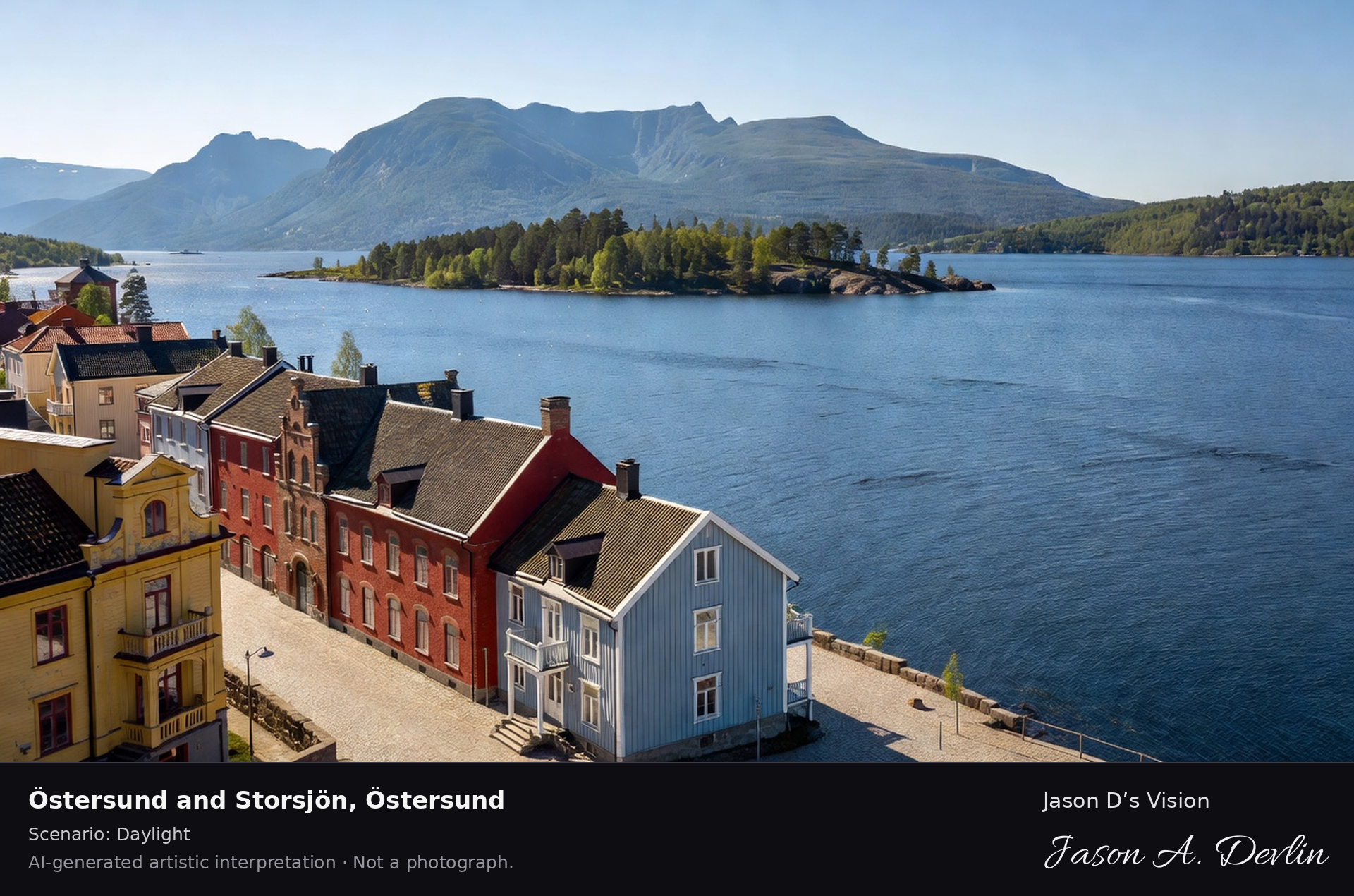
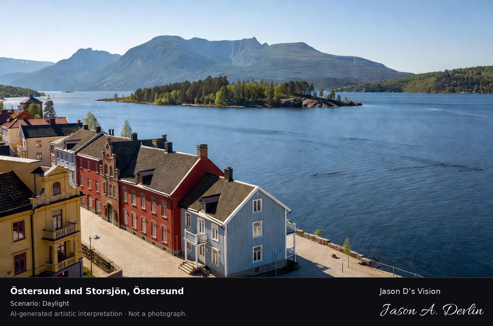
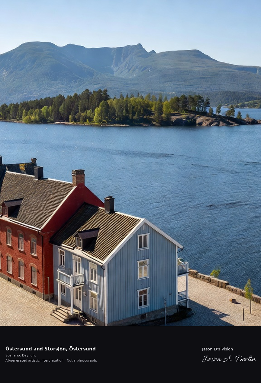
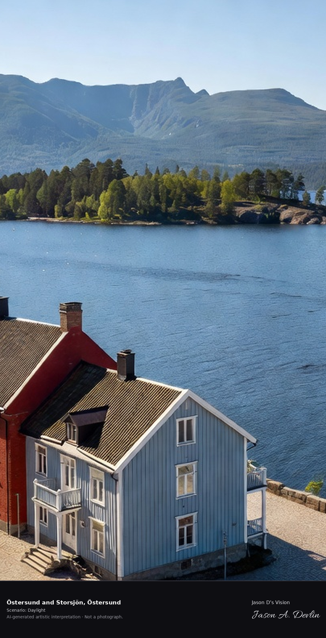
Östersund's waterfront on Lake Storsjön with the Frösön island and the Oviksfjällen beyond, the Jämtland capital with its 19th-century town and the Great Lake Monster's home waters.
Östersund’s waterfront runs along Lake Storsjön, with Frösön island in the lake and the Oviksfjällen beyond. The Jämtland capital’s 19th-century town stands on the home waters of the Great Lake Monster, in bright natural daylight.
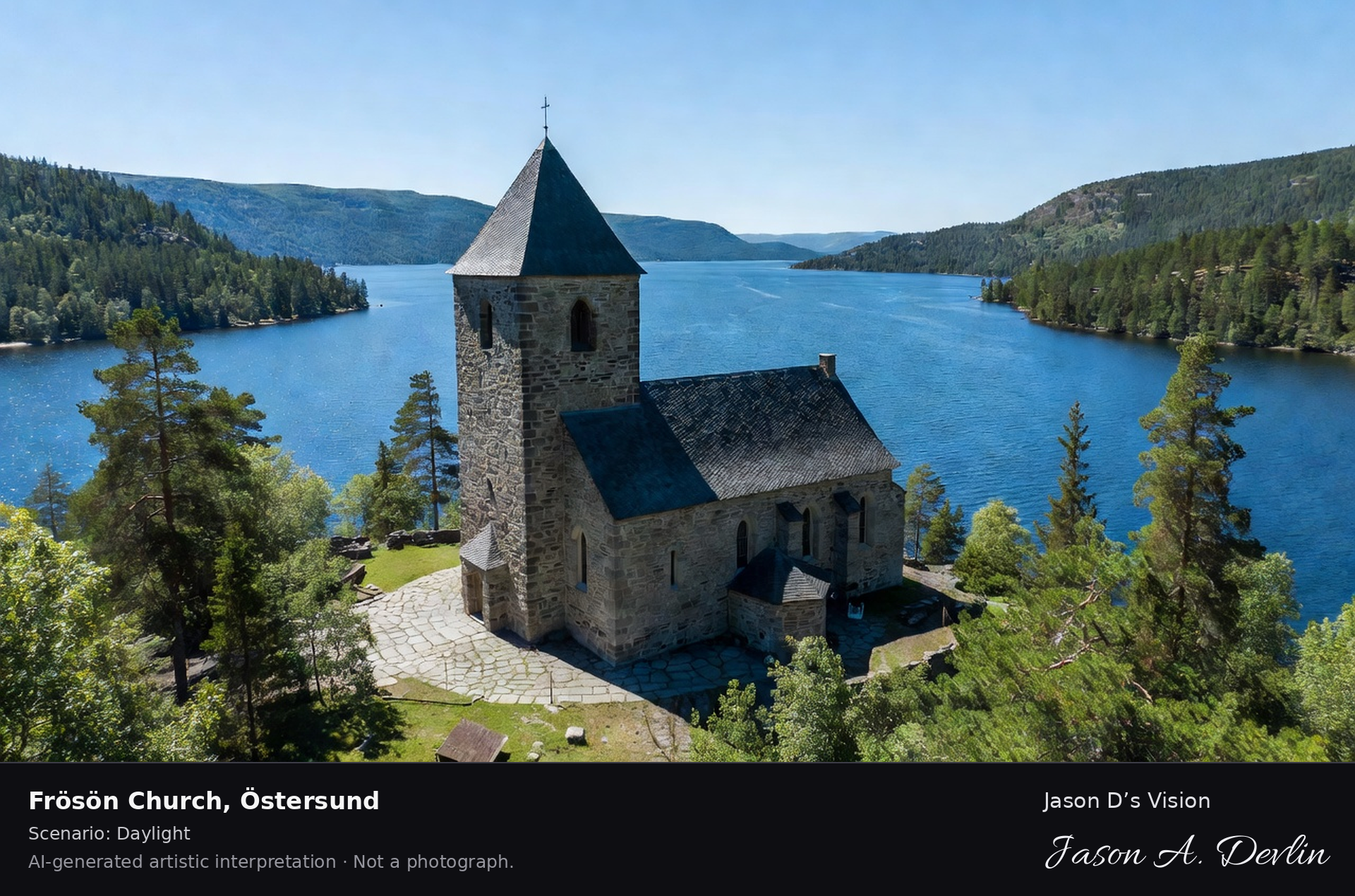
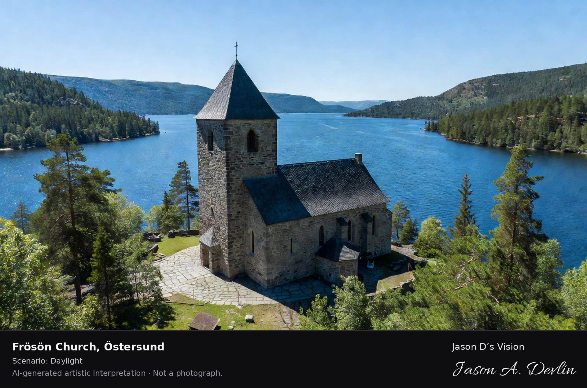
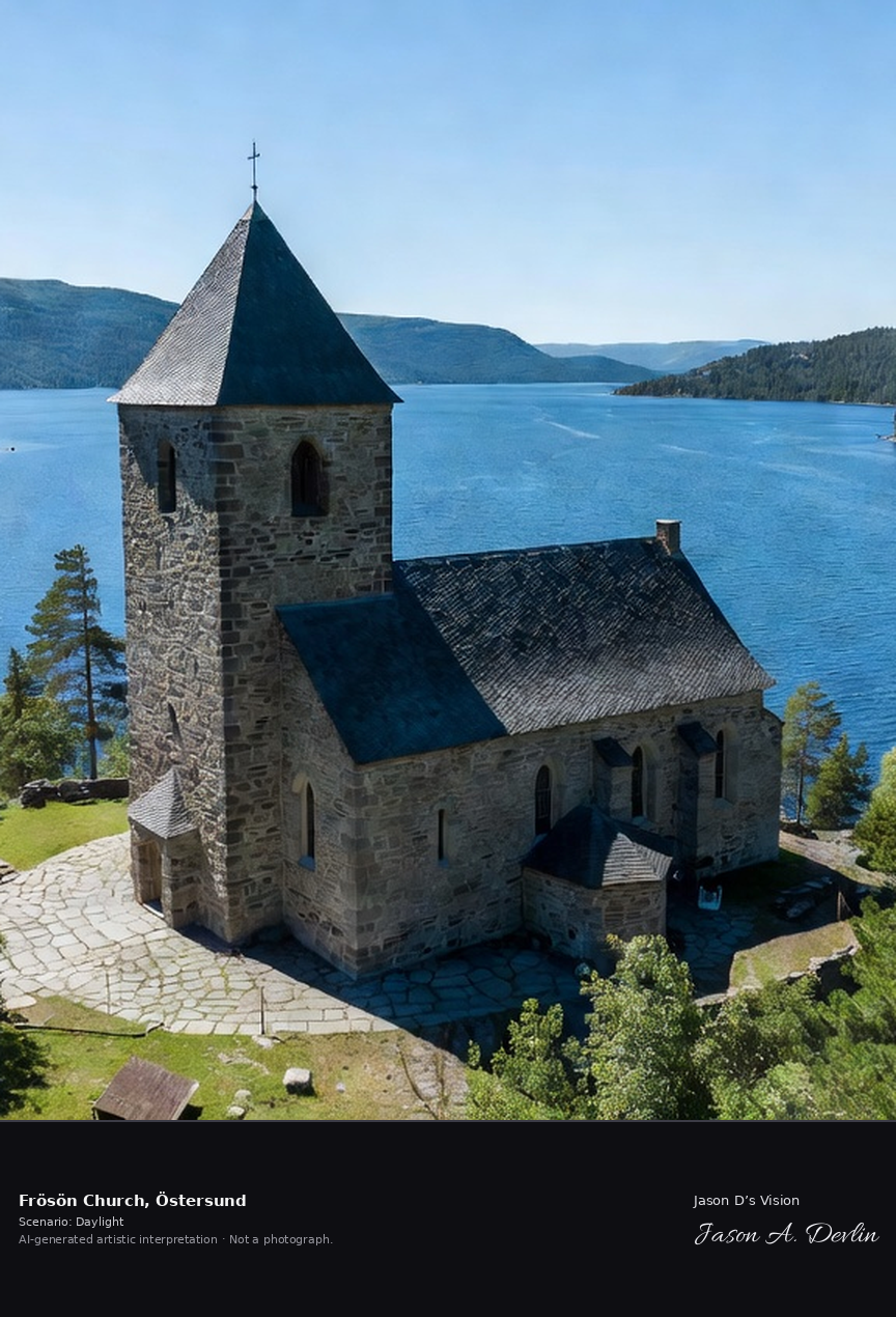
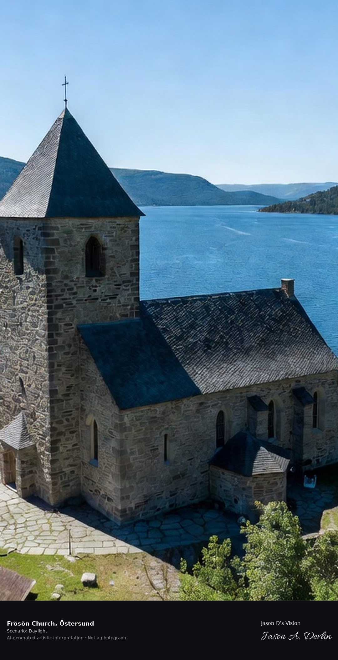
Frösön's medieval stone church on the island in Lake Storsjön, the 12th-century church with its distinctive tower and the lake panorama, Jämtland's oldest church.
On Frösön, the island in Lake Storsjön, stands the medieval stone church with its distinctive tower. The 12th-century church, Jämtland’s oldest, overlooks the lake panorama, in bright natural daylight.
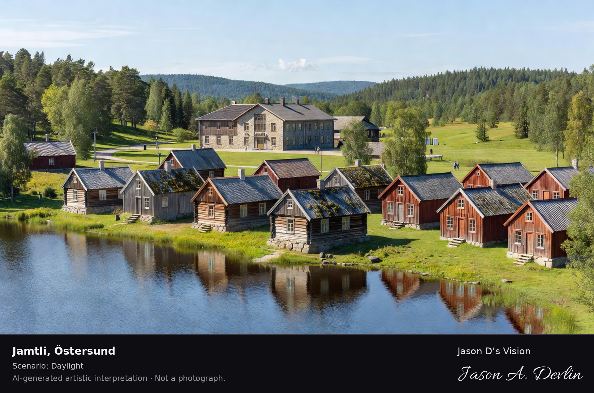
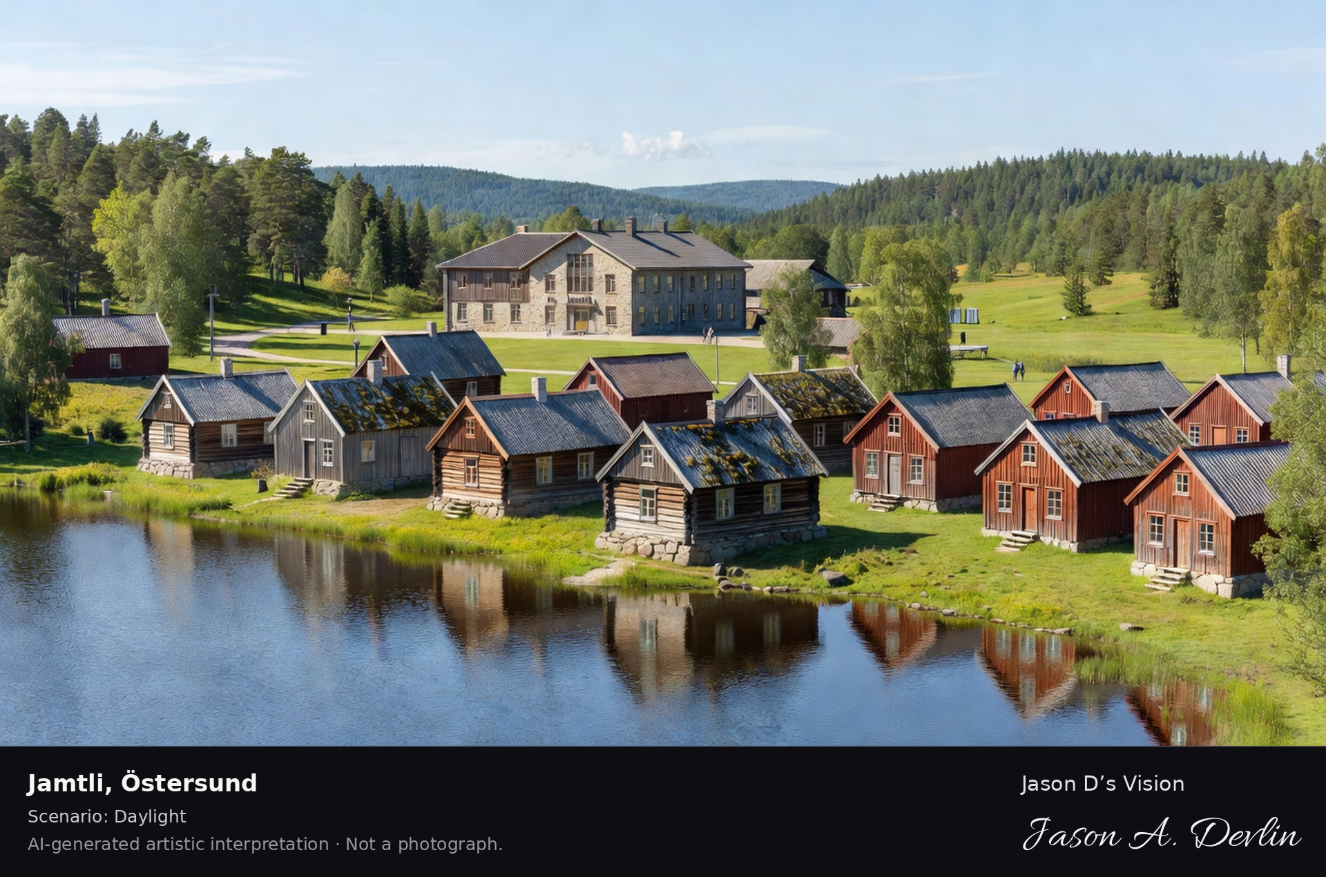
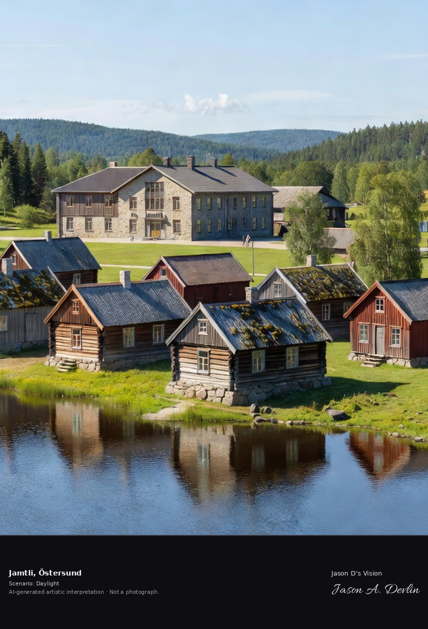
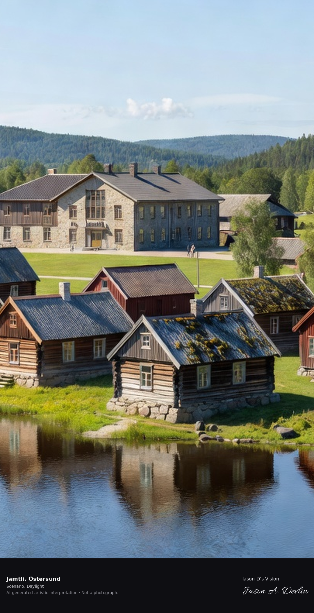
Jamtli's open-air museum with its historic Jämtland farmhouses around the lake, the 1912-founded museum with the Viking tapestry and the 18th-century Per Albin cottages.
Around the lake at Jamtli, Östersund’s open-air museum, stand historic Jämtland farmhouses. Founded in 1912, the museum holds the Viking tapestry and the 18th-century Per Albin cottages, in bright natural daylight.
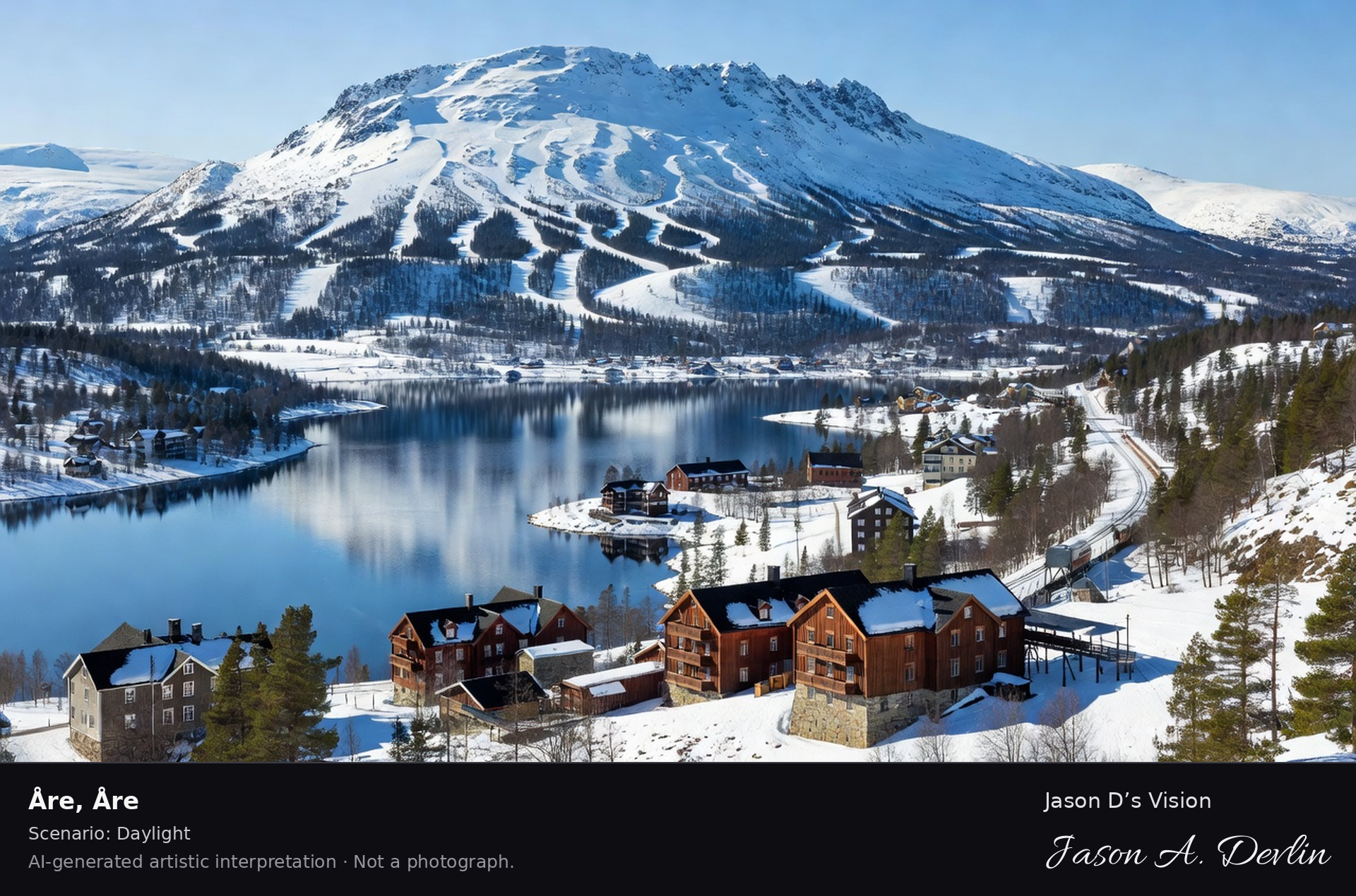
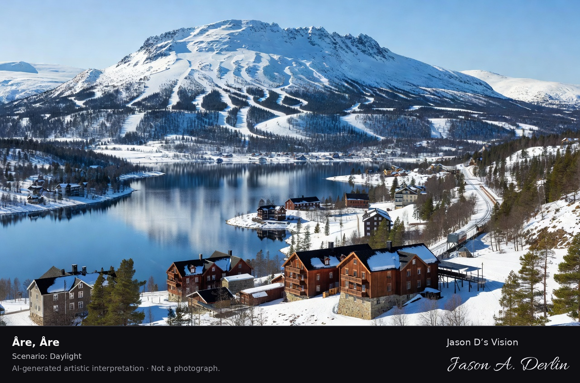
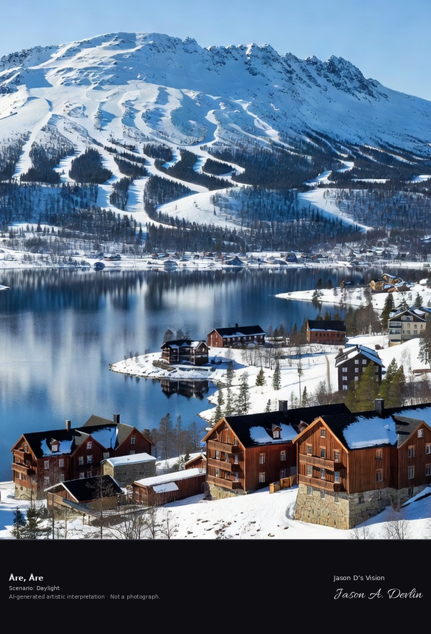
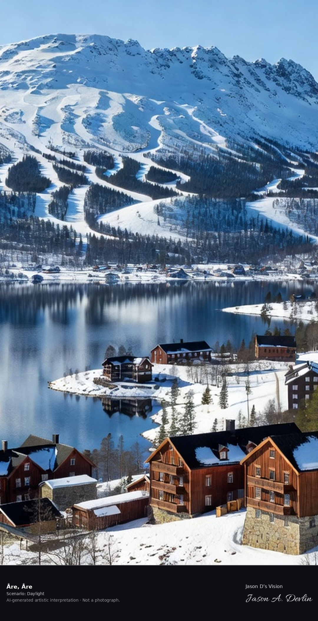
Åre's ski slopes below the Åreskutan massif with Lake Åresjön below, Sweden's premier alpine resort village with its historic 19th-century hotels and the fell railway.
Below the Åreskutan massif spread Åre’s ski slopes, with Lake Åresjön below the village. Sweden’s premier alpine resort village keeps its historic 19th-century hotels and the fell railway, in bright natural daylight.
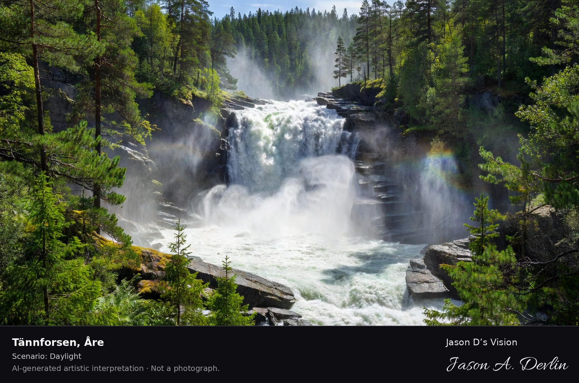
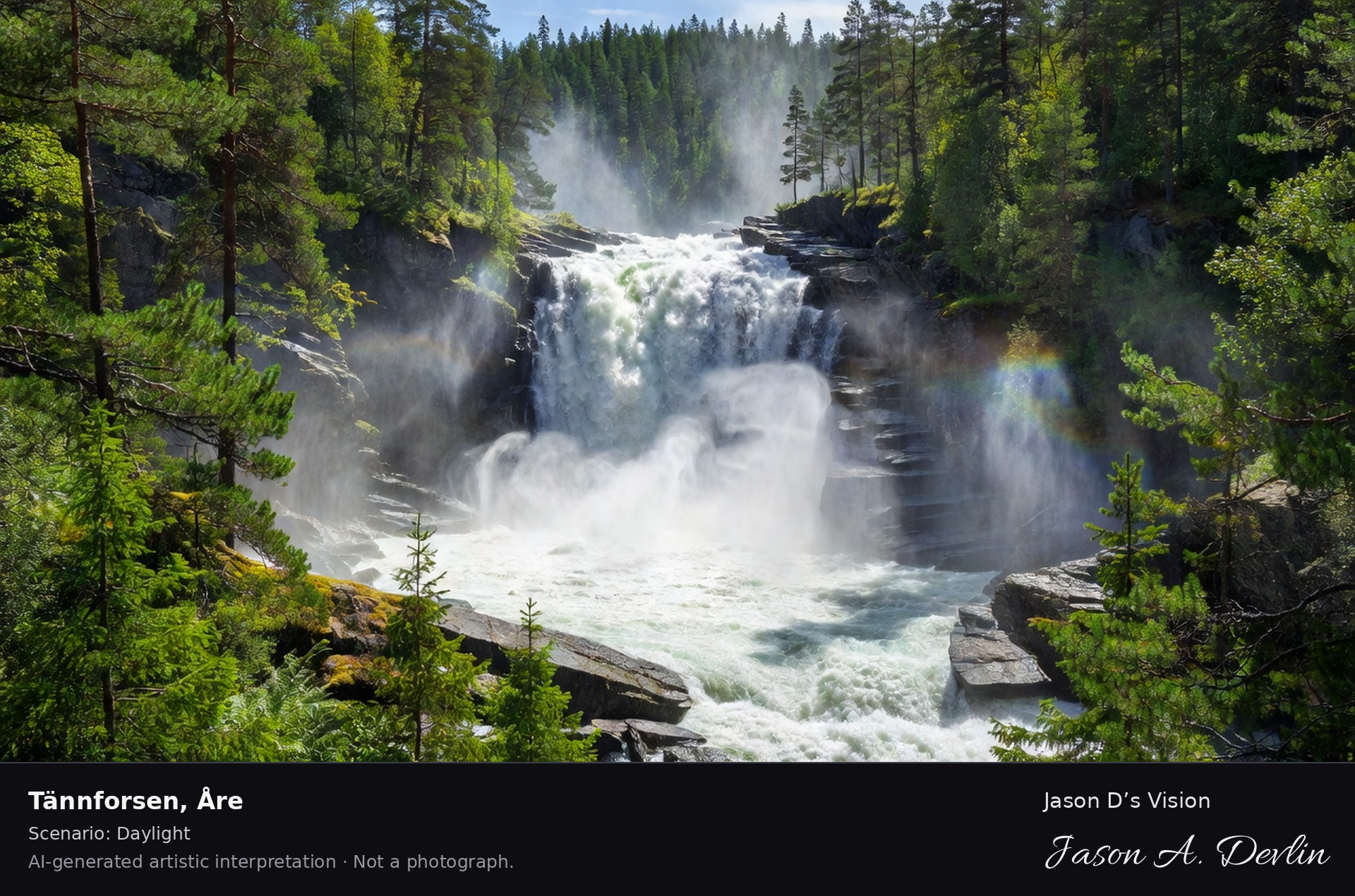
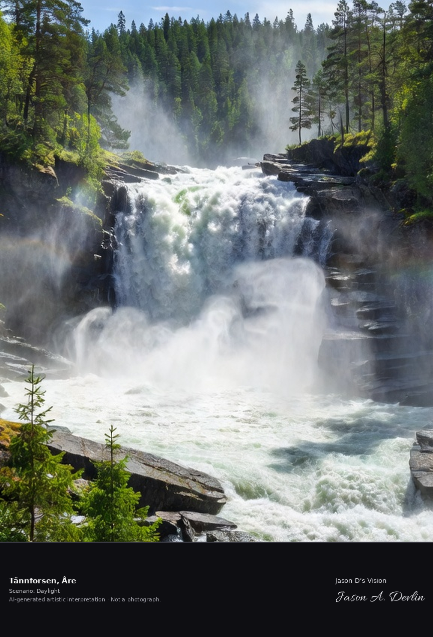
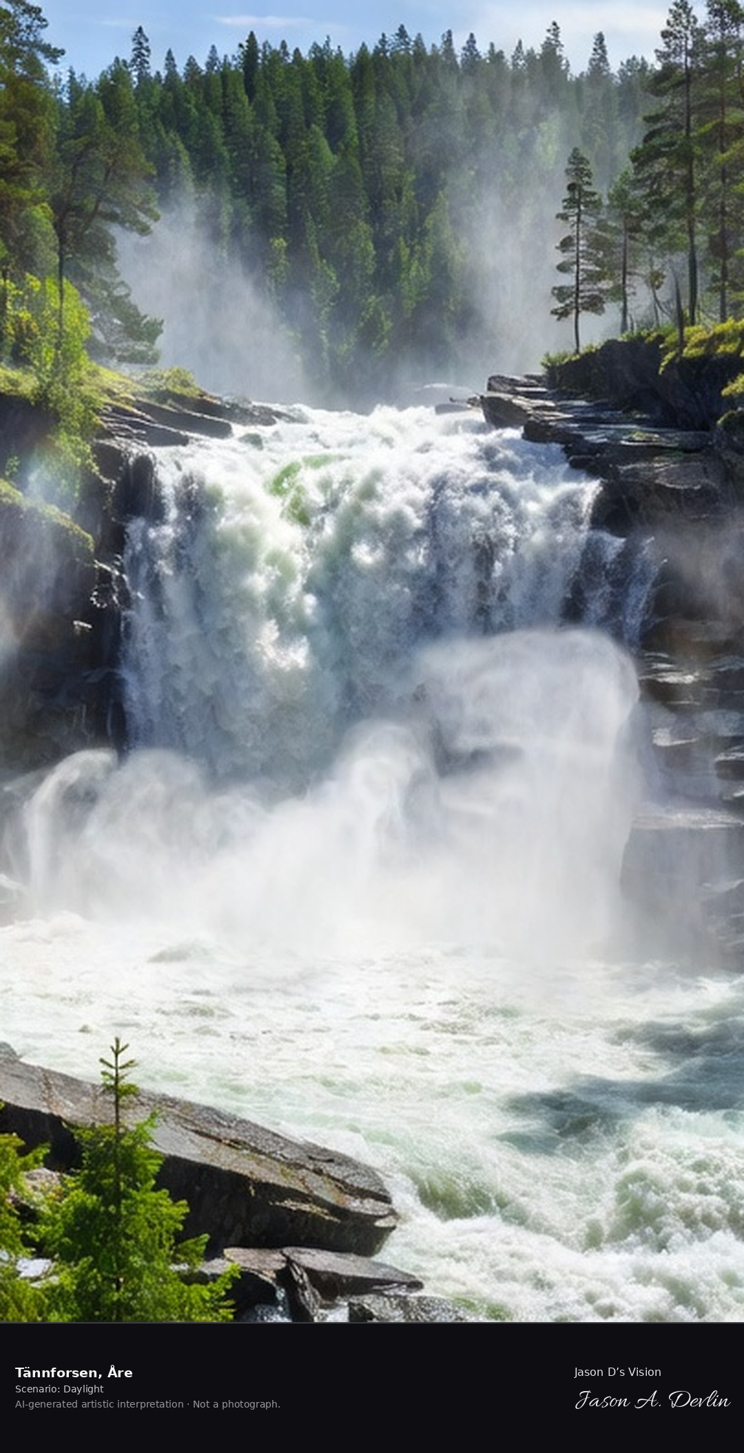
Tännforsen's mighty waterfall, Sweden's largest by volume, thundering 38 meters into the gorge in the Jämtland forest with spray rising through the pines.
Tännforsen’s mighty waterfall thunders 38 meters into its gorge in the Jämtland forest. Sweden’s largest waterfall by volume sends spray rising through the pines, in bright natural daylight.
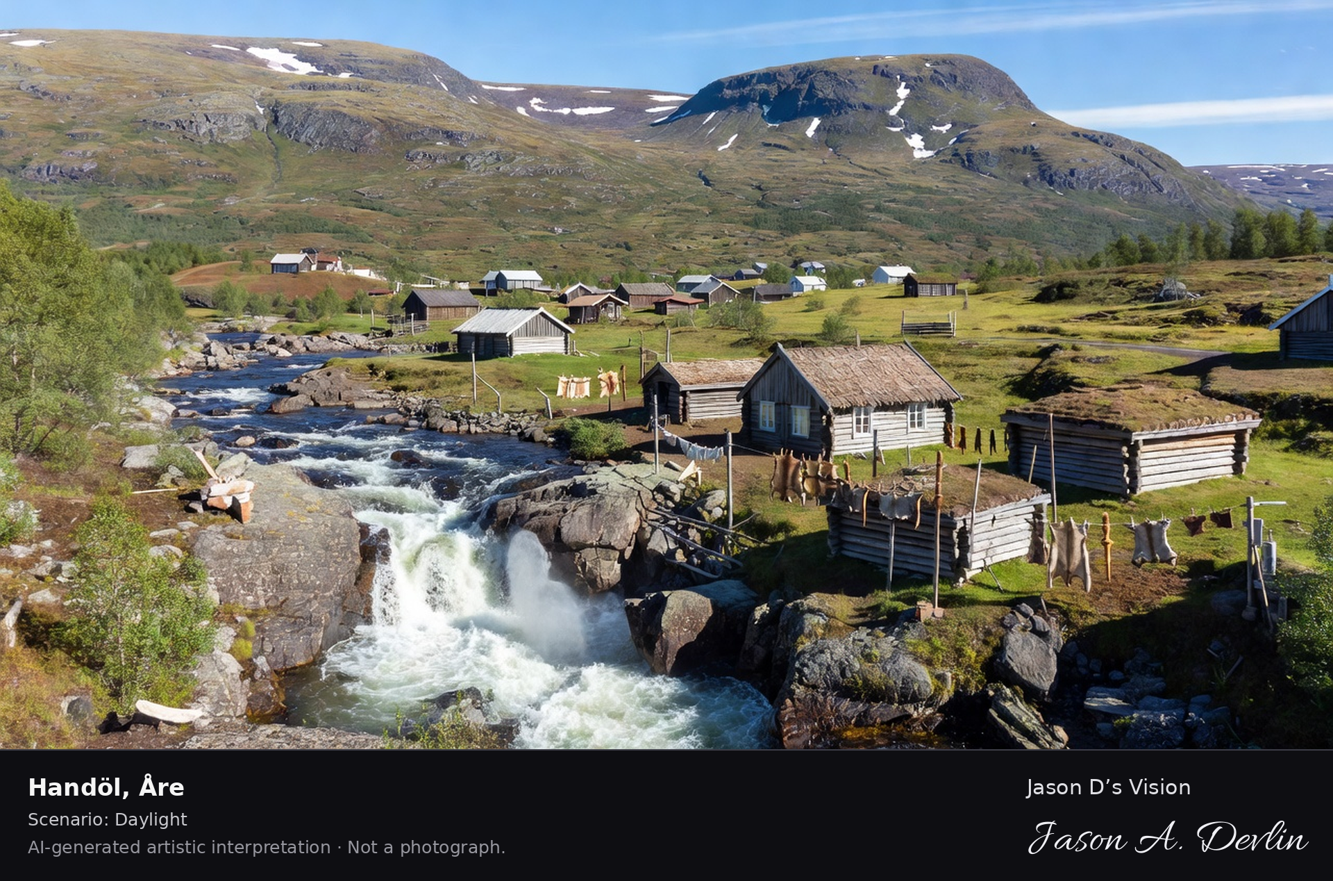
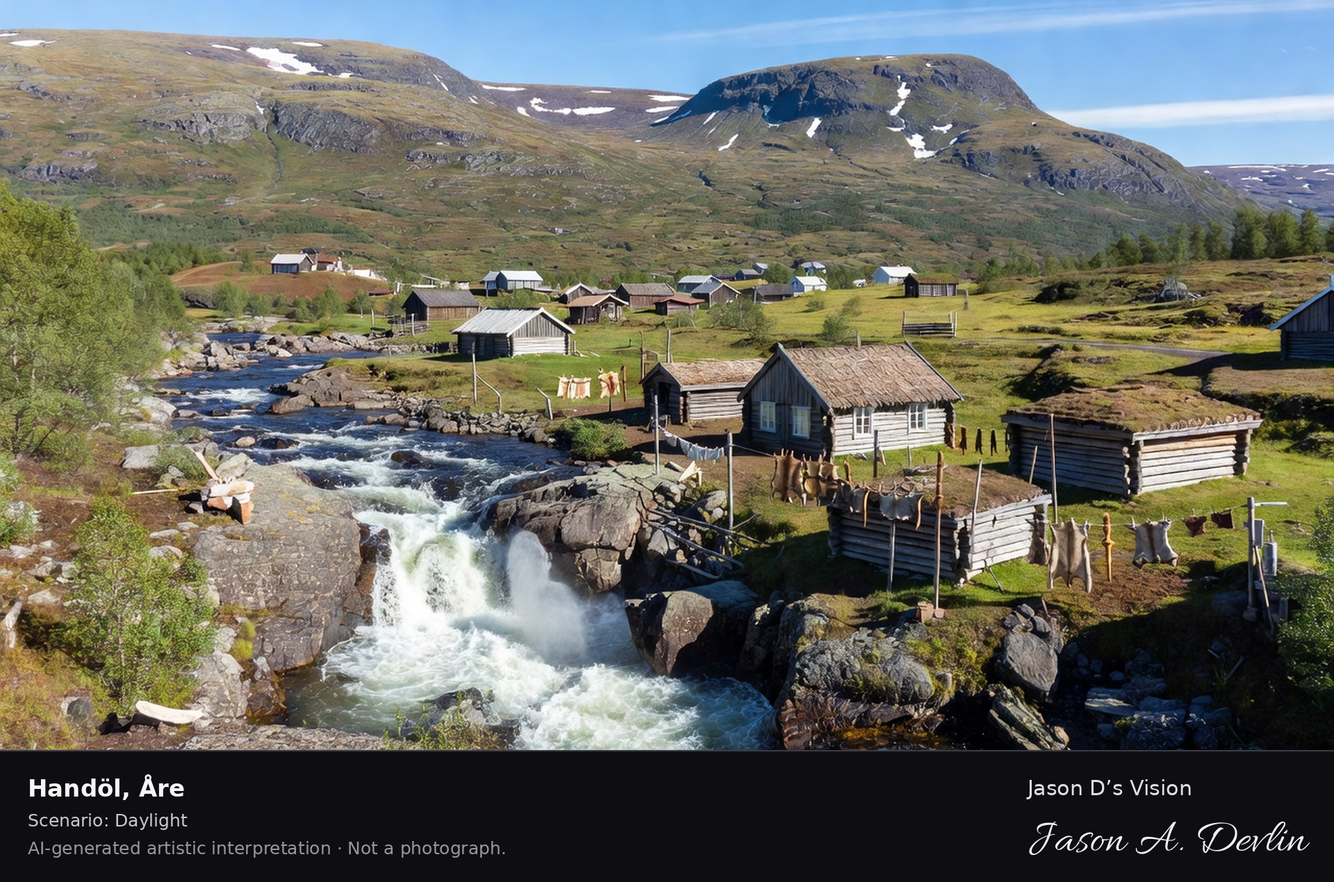
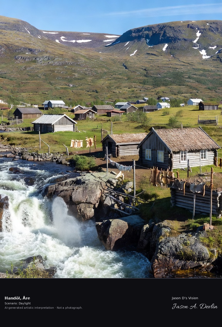
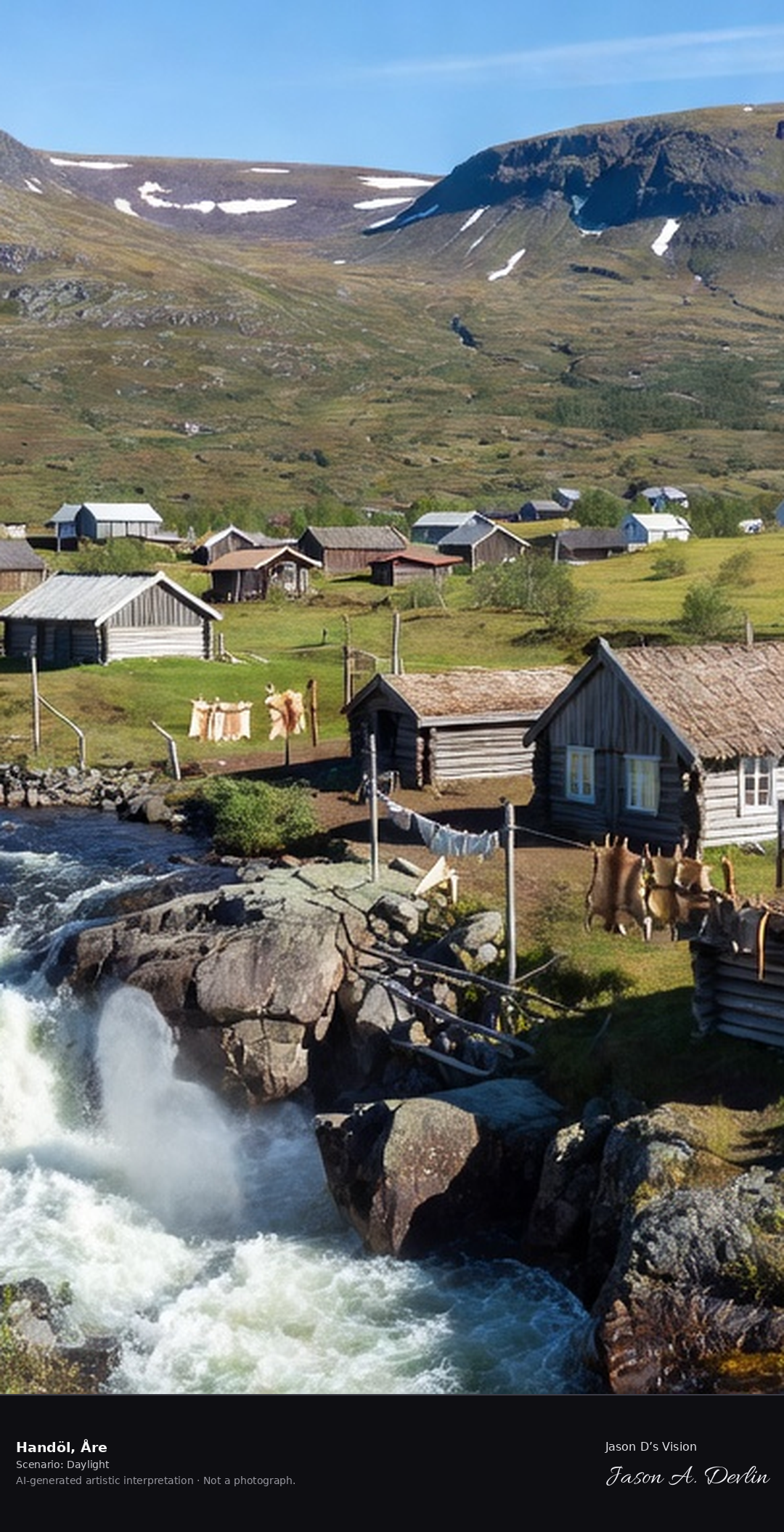
Handöl's Sami village and the Handölsforsen rapids on the Indalsälven, the fell village at the gateway to the Snasahögarna with its handicraft traditions.
At Handöl, the Sami village on the Indalsälven, the Handölsforsen rapids run past the fell village. The village, with its handicraft traditions, is the gateway to the Snasahögarna, in bright natural daylight.
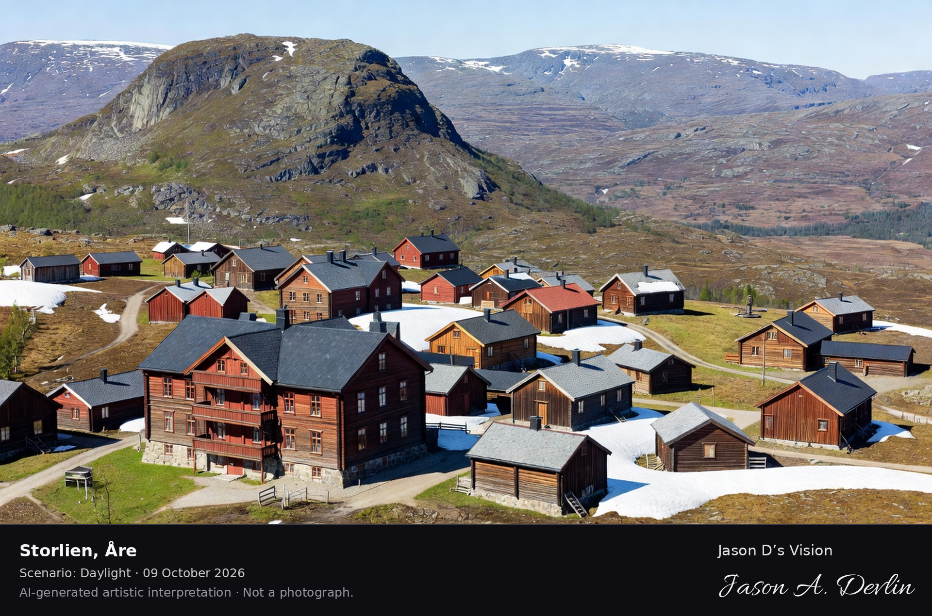
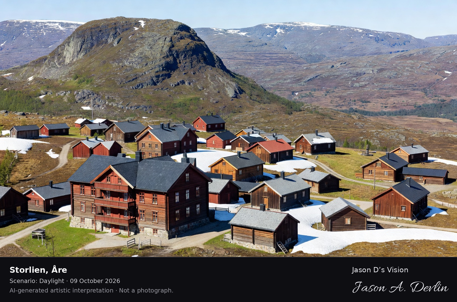
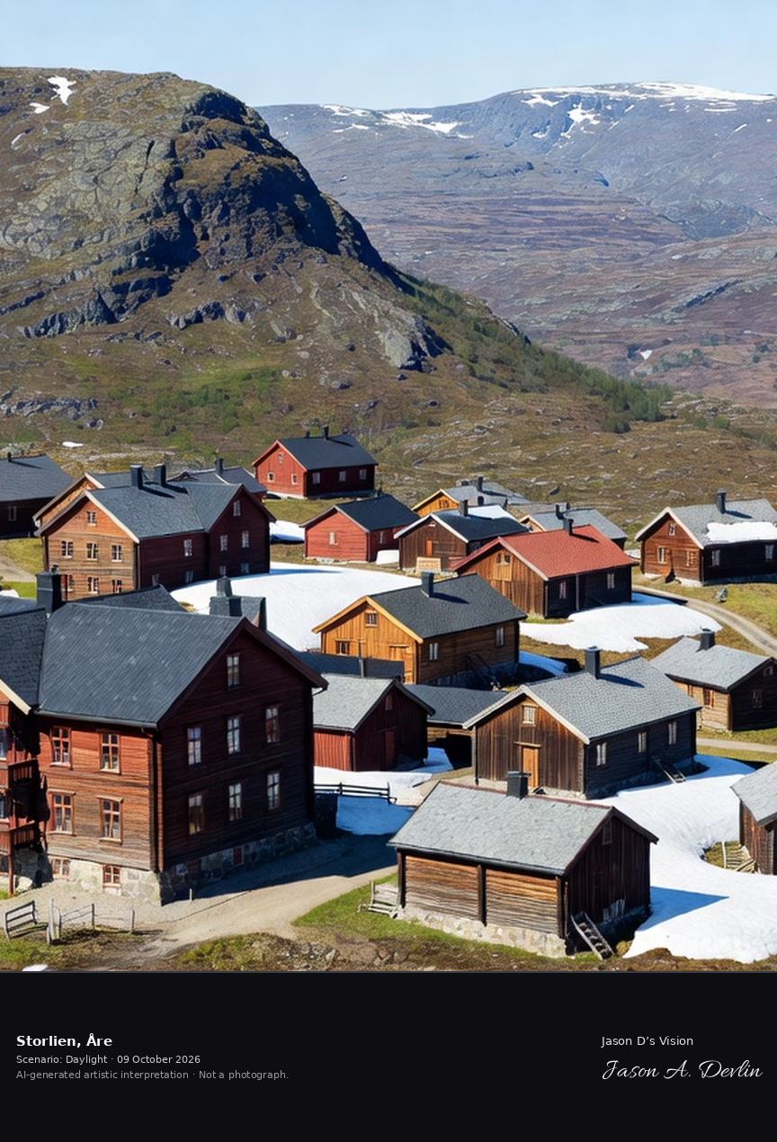
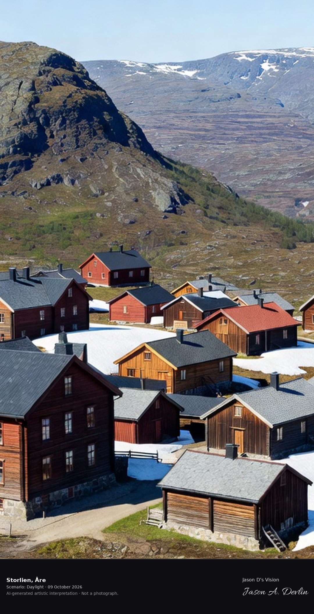
Storlien's mountain station village on the Norwegian border, the historic 19th-century fjäll hotel below the Skurdalshöjden with the border fells beyond.
On the Norwegian border, Storlien’s mountain station village centers on its historic 19th-century fjäll hotel. Below the Skurdalshöjden, the border fells stretch beyond, in bright natural daylight.
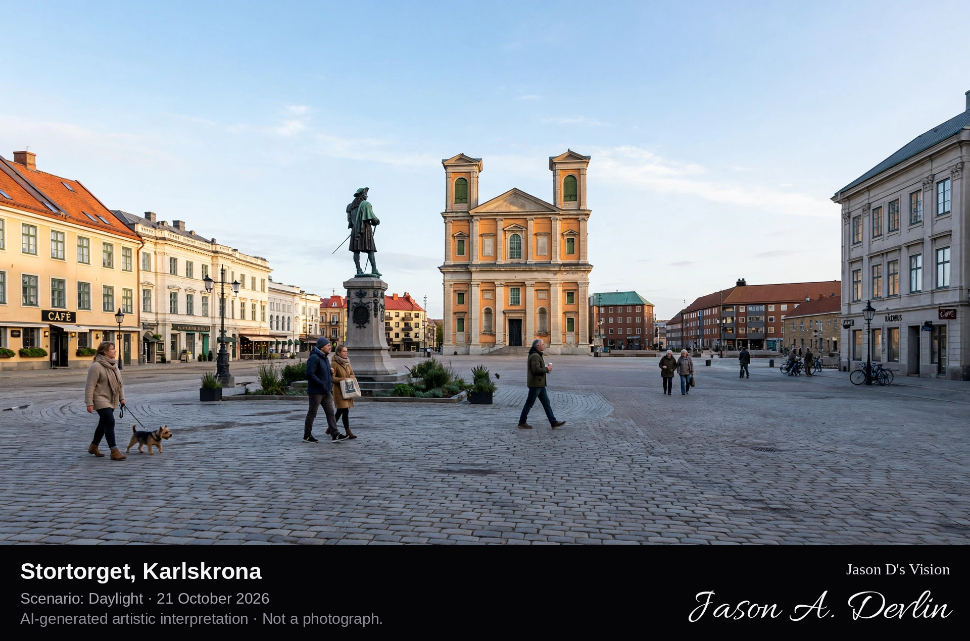
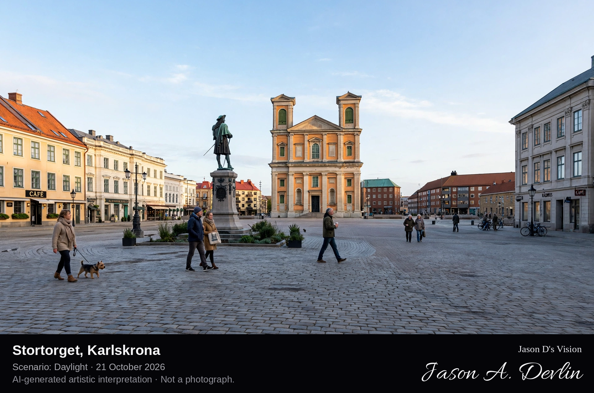
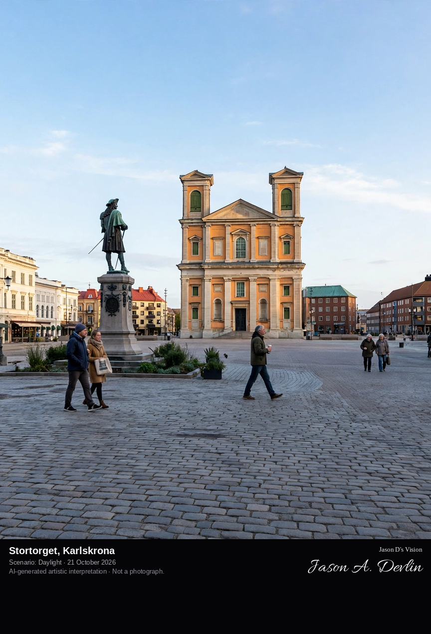
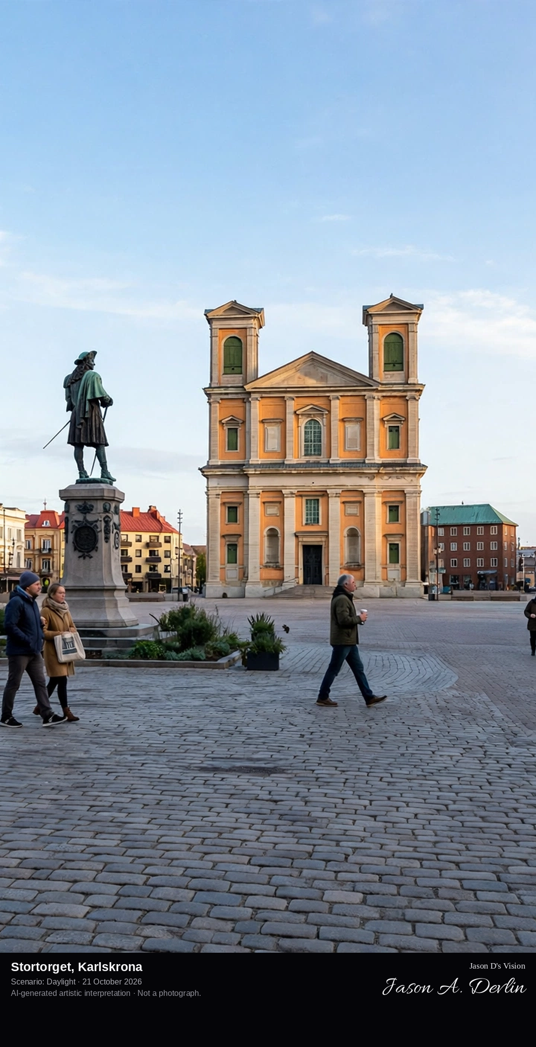
Across the broad cobbled square toward Fredrikskyrkan, the yellow Baroque church whose twin towers close the south side of Stortorget, with the statue of Karl XI standing in the square.
Stortorget is the great main square of Karlskrona, laid out when the naval town was founded in 1680 on the island of Trossö. Fredrikskyrkan, the yellow Baroque church with twin towers, closes the southern side of the square, and the statue of Karl XI, the king who founded the town, stands on the cobbles. The square is among the largest in Sweden, and the whole naval port of Karlskrona was inscribed on the UNESCO World Heritage List in 1998.
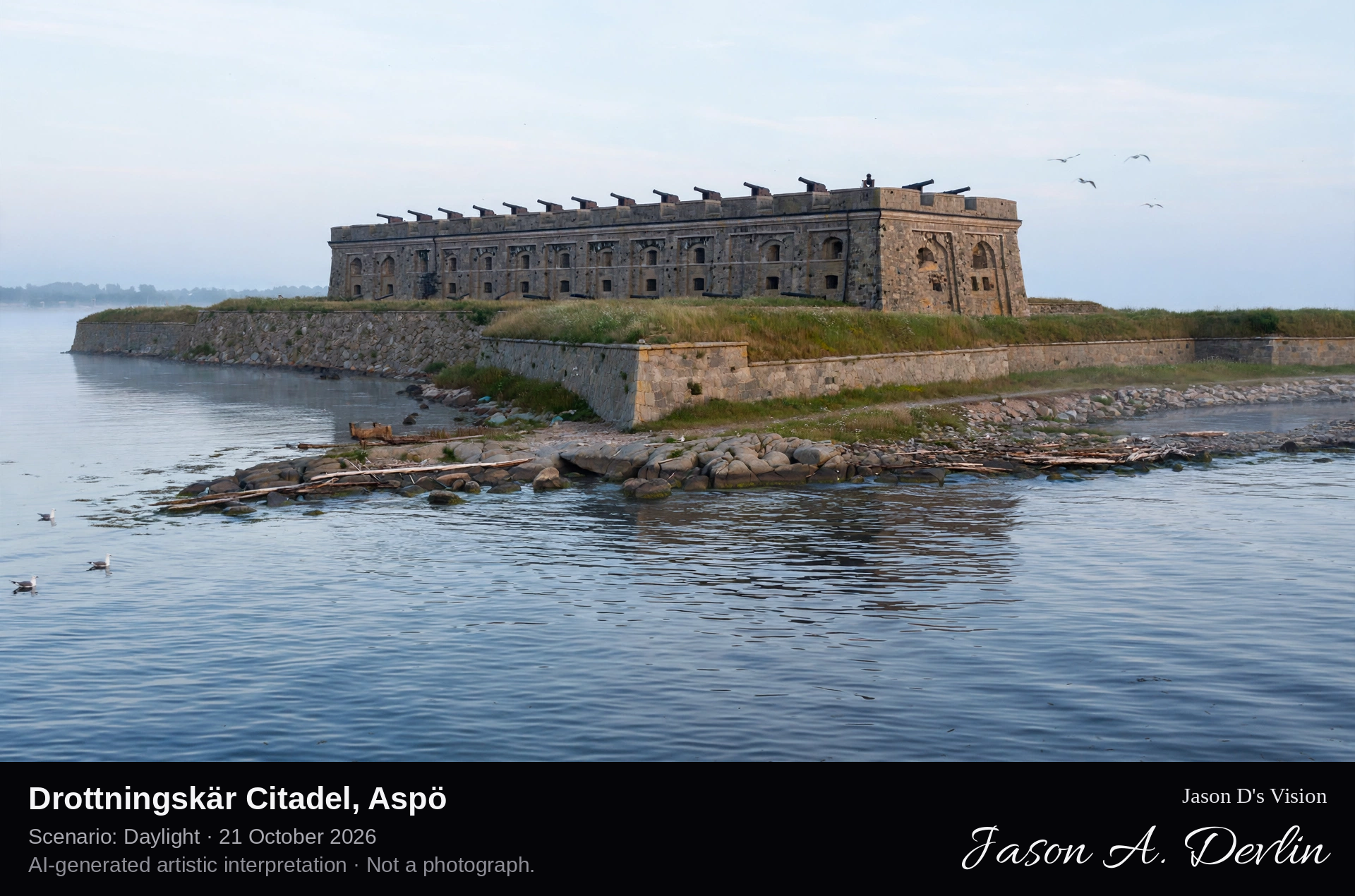
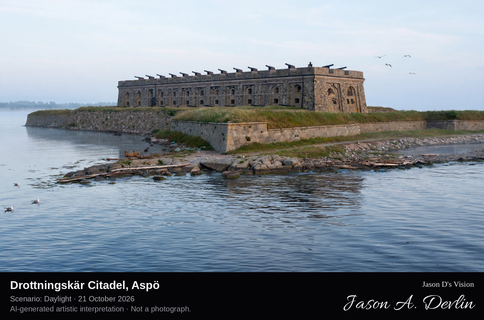
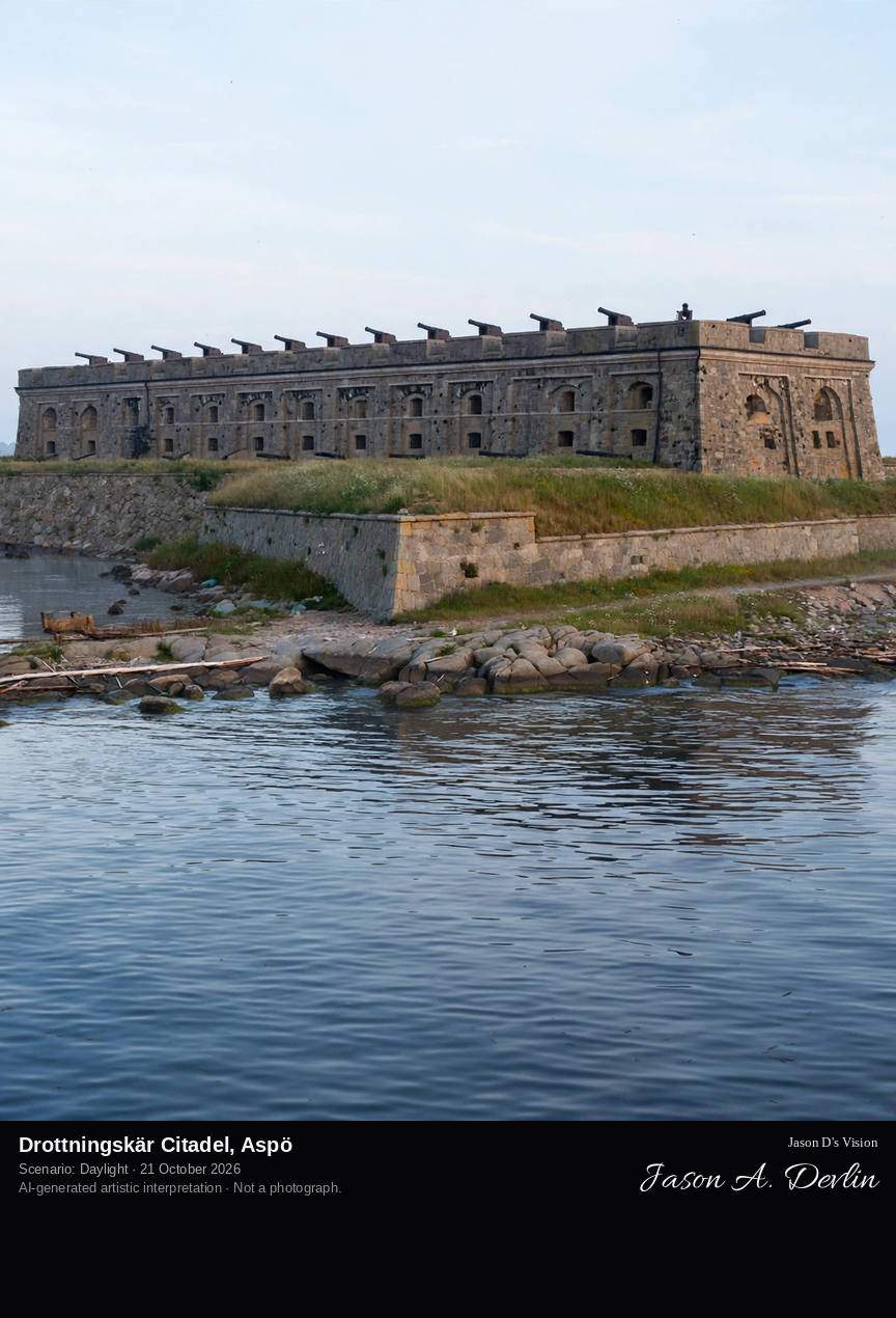
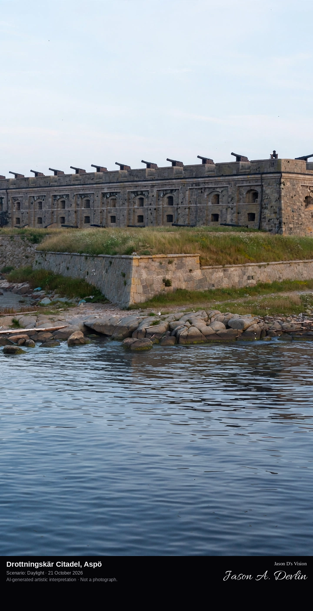
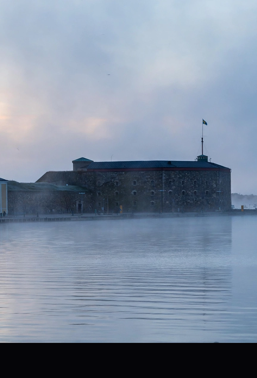
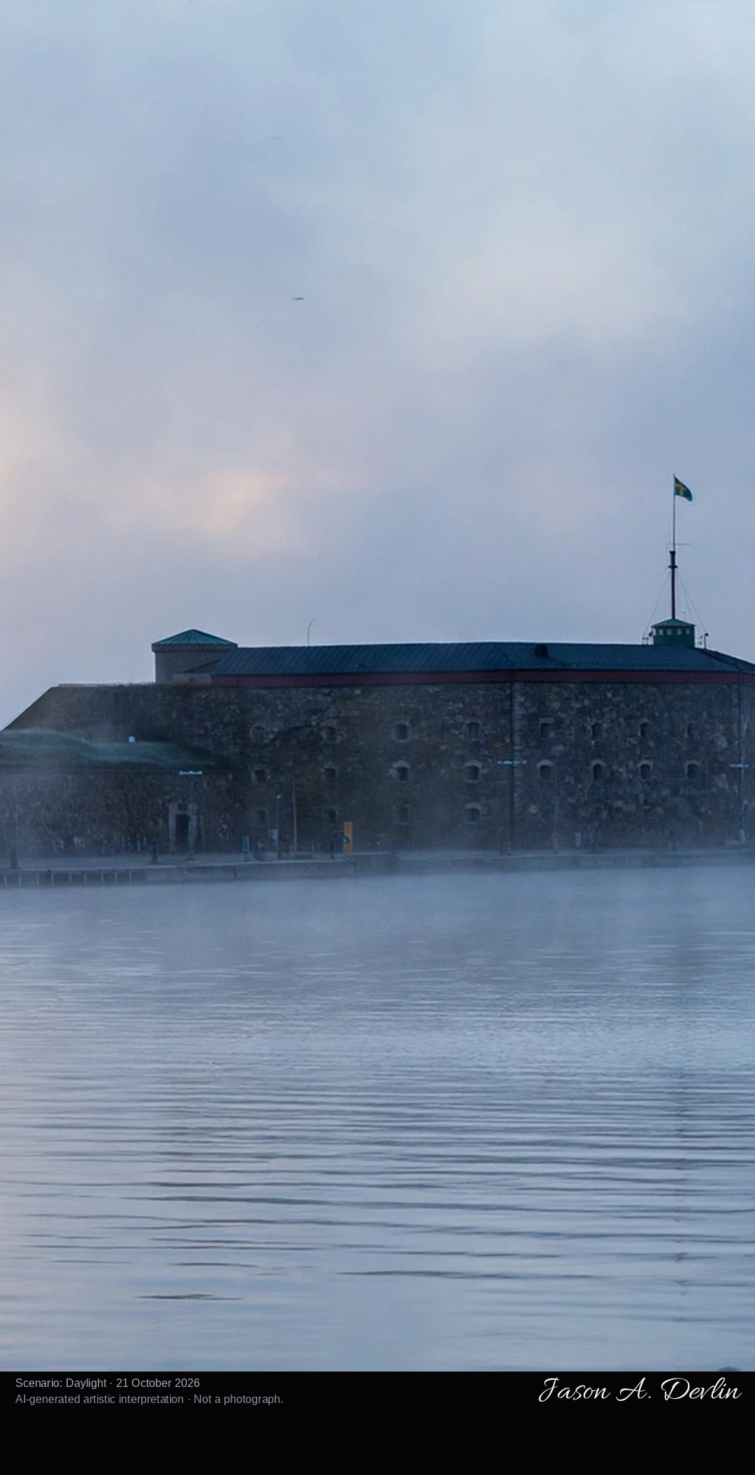
From the sea approach, the citadel's massive granite donjon and grass-topped bastions rising straight from the rocky shoreline of its small island off Aspö.
Drottningskär Citadel stands on a small island just off Aspö in the Karlskrona archipelago, built in the last decades of the seventeenth century to Erik Dahlbergh's design to guard the main sea approach to the new naval base. Its heart is an elongated granite donjon, with a cannon battery on the roof and barracks and powder magazines below, ringed by four bastions named after Swedish queens: Maria, Christina, Hedvig and Ulrica. The fortress never modernised, it survives as one of the best-preserved fortifications of Sweden's great-power age, and it forms part of the UNESCO World Heritage naval port of Karlskrona.
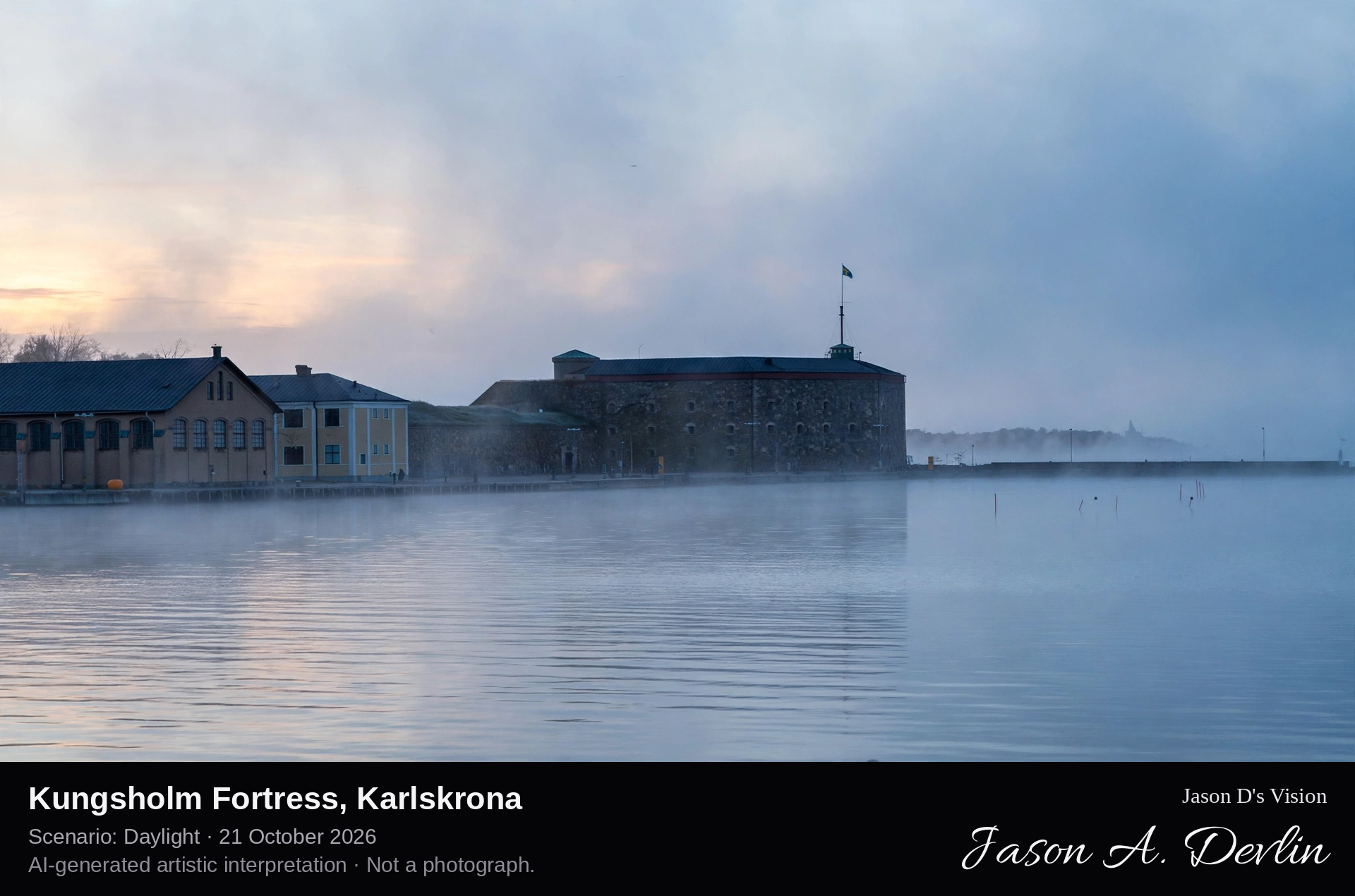
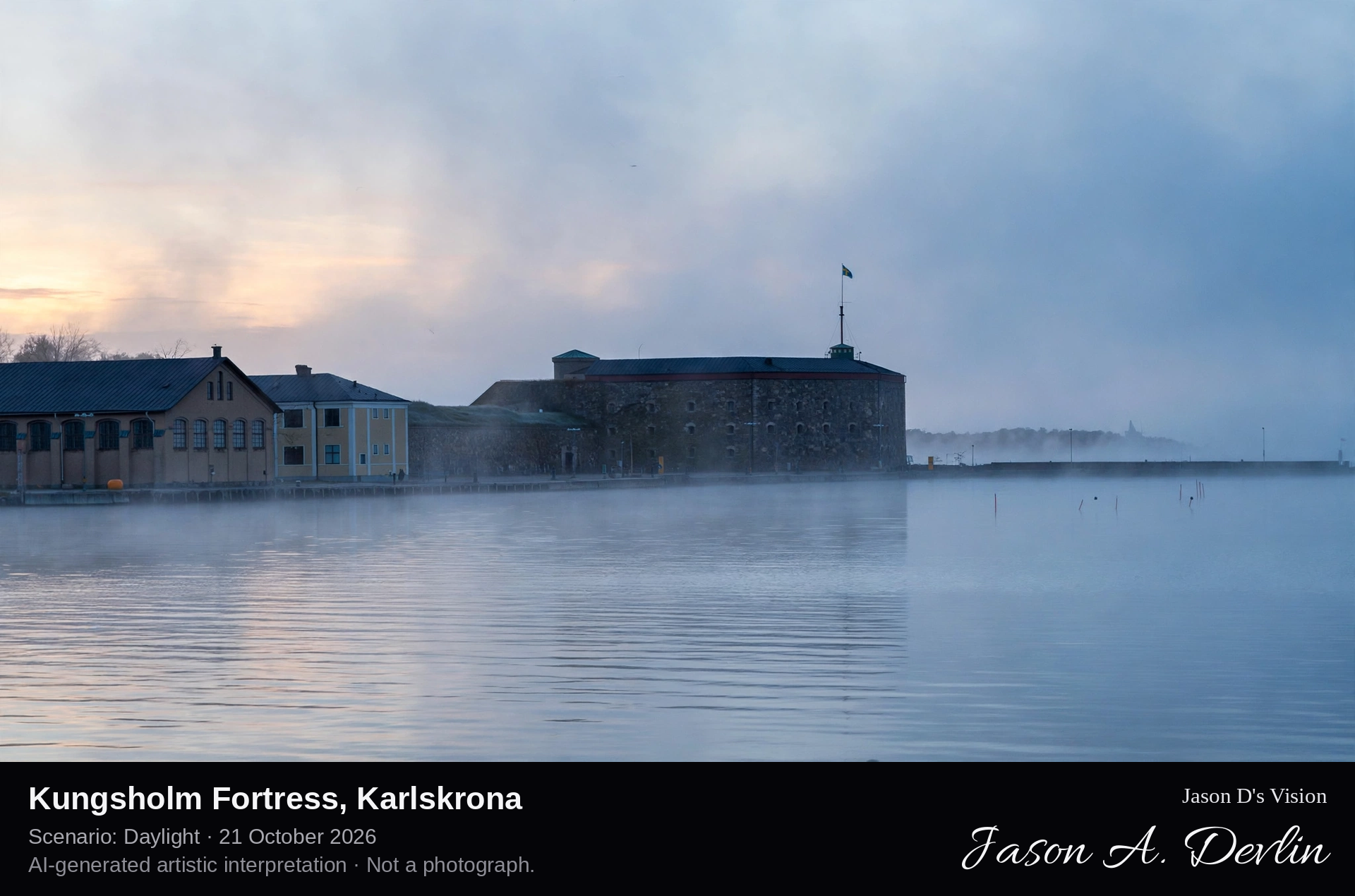
Across the harbour water to the fortress island: the three-storey stone donjon with its flanking towers above the circular harbour wall on Kungsholmen.
Kungsholm Fortress guards the main inlet to Karlskrona from the island of Kungsholmen, the twin of Drottningskär across the fairway. Its three-storey donjon with flanking towers rises above a singular circular harbour enclosed by a high round wall, built in the 1830s. The fortress has been manned without interruption for more than three hundred years and remains a naval training establishment, the oldest continuously active fortification of the Karlskrona defences, within the UNESCO World Heritage naval port.
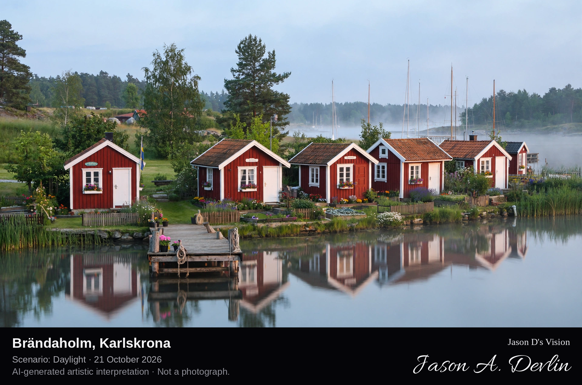
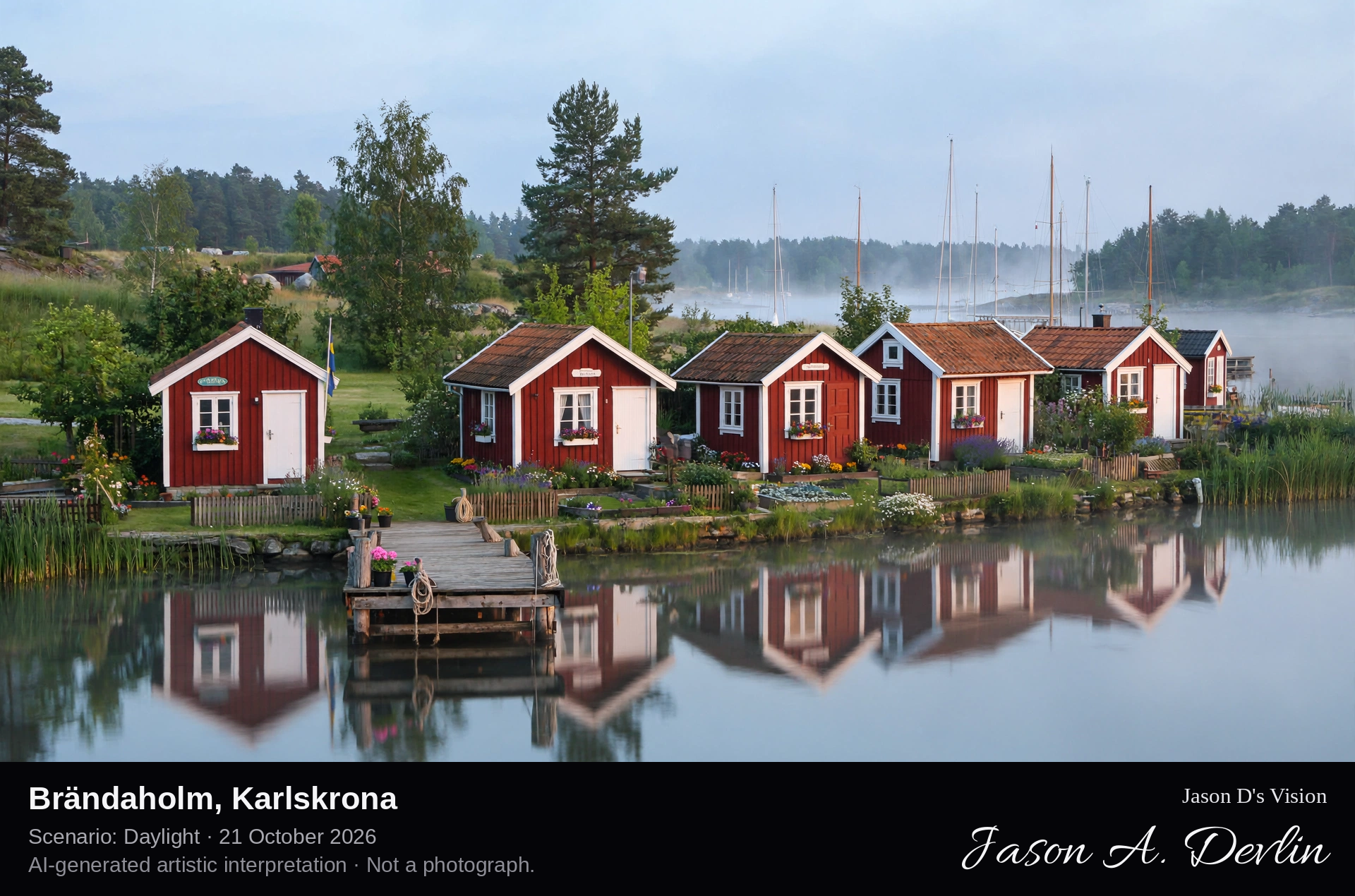
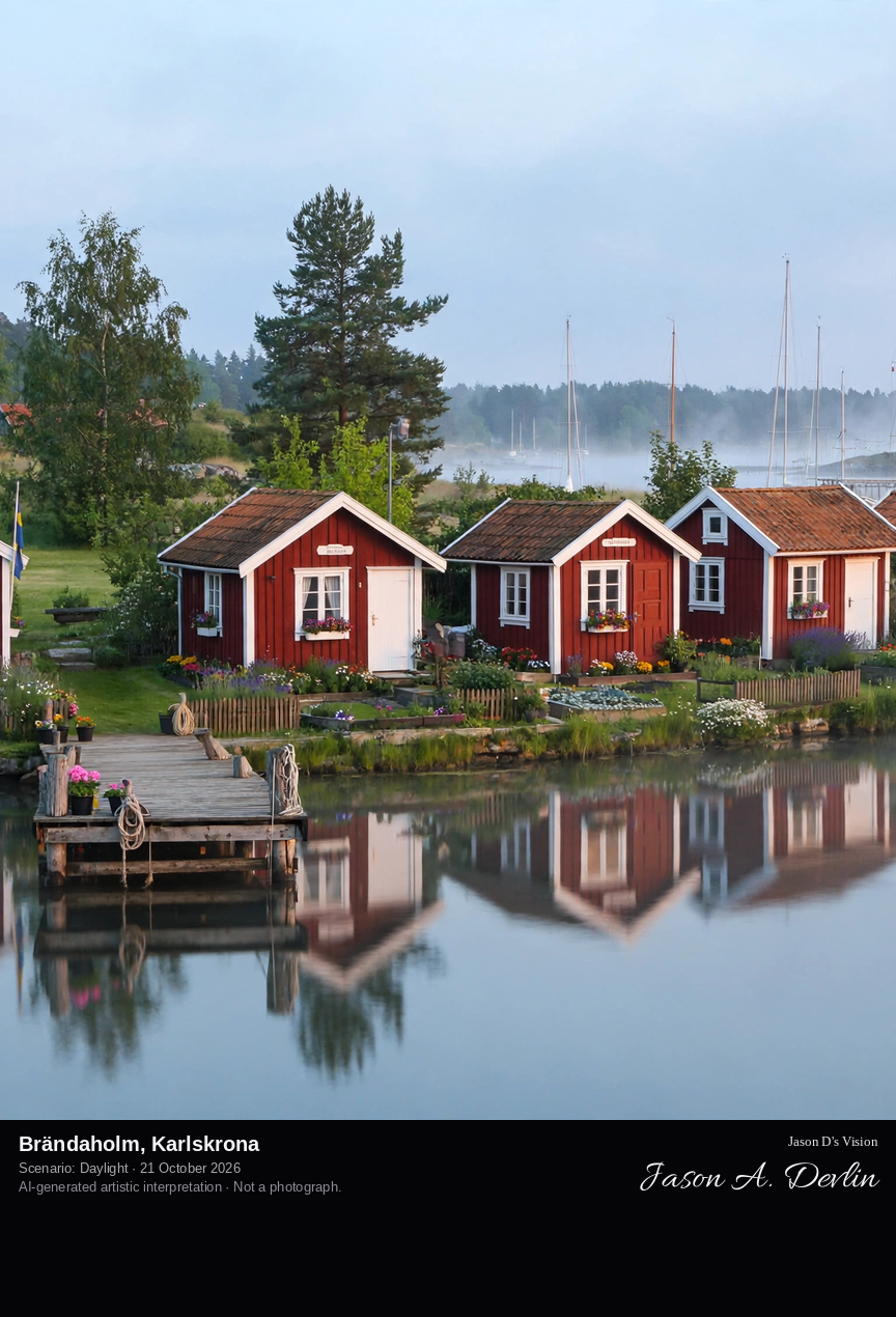
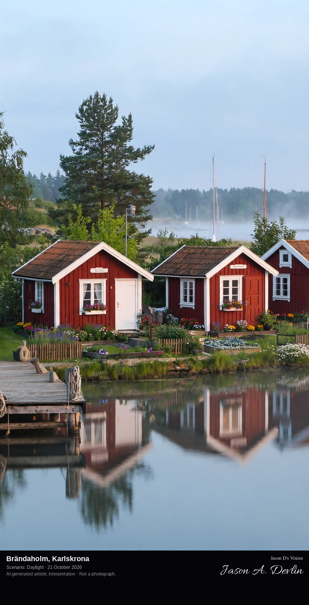
Along the shoreline: a cluster of small red wooden allotment cottages with white window frames and tiny gardens, right at the edge of the calm harbour water.
On the point of Brändaholm, by the Dragsö shore a few minutes from Karlskrona's centre, stands a small colony of red wooden allotment cottages, each with white-framed windows, a tiny garden and its own few metres of shoreline. Seen from the water, the cottages make one of the most loved views in Karlskrona: a red-and-white summer idyll against the green point and the calm harbour, with the masts of the marina and the town's towers behind.
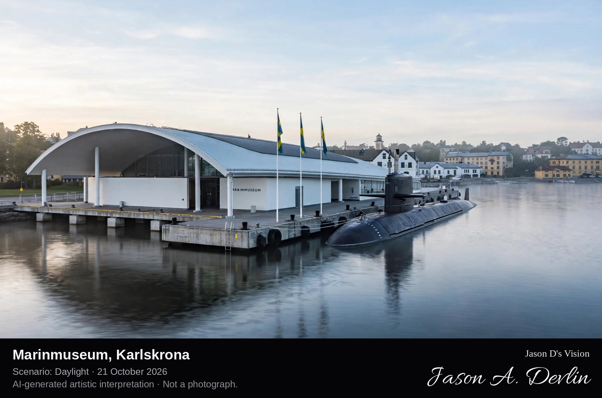
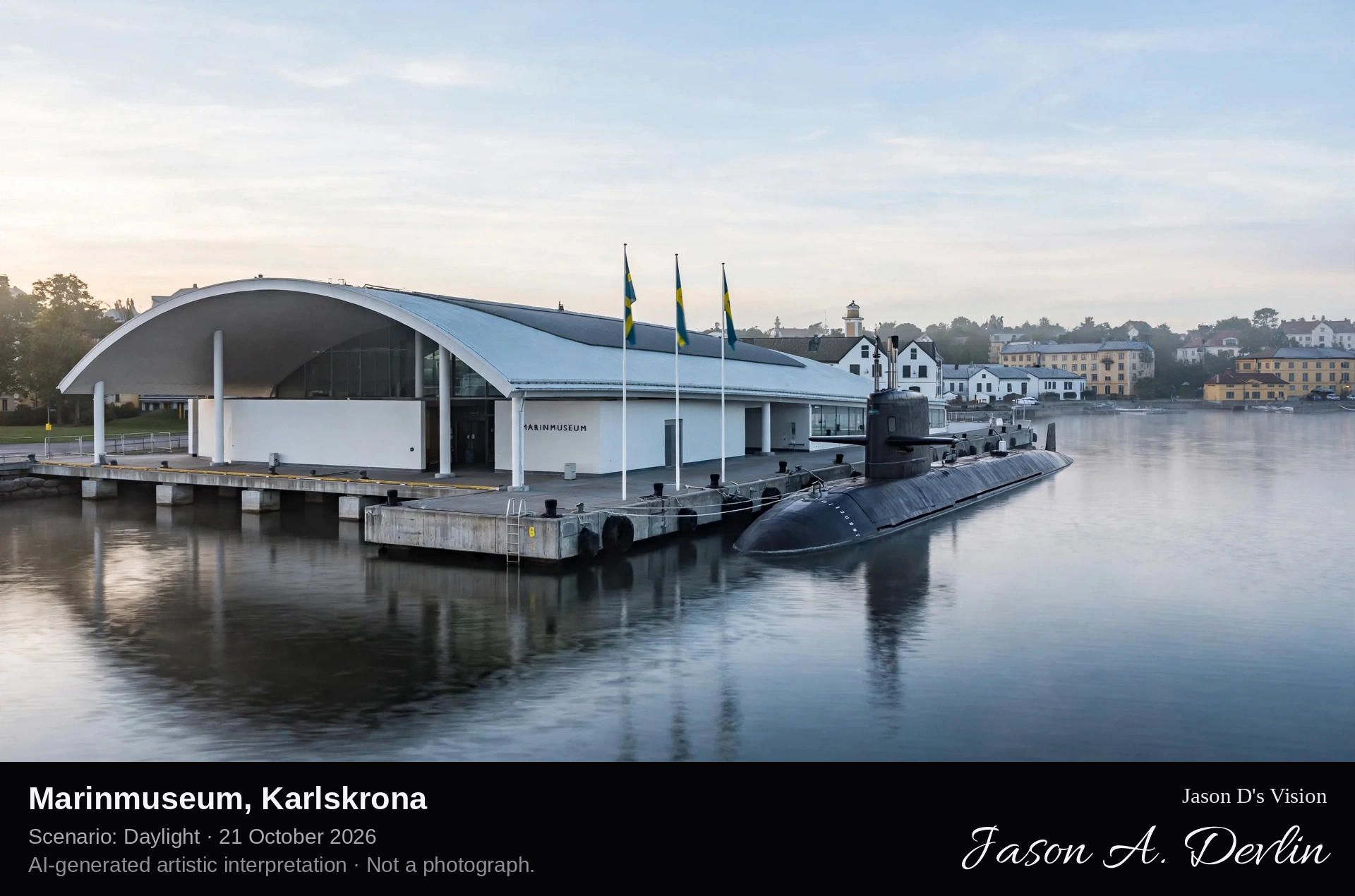
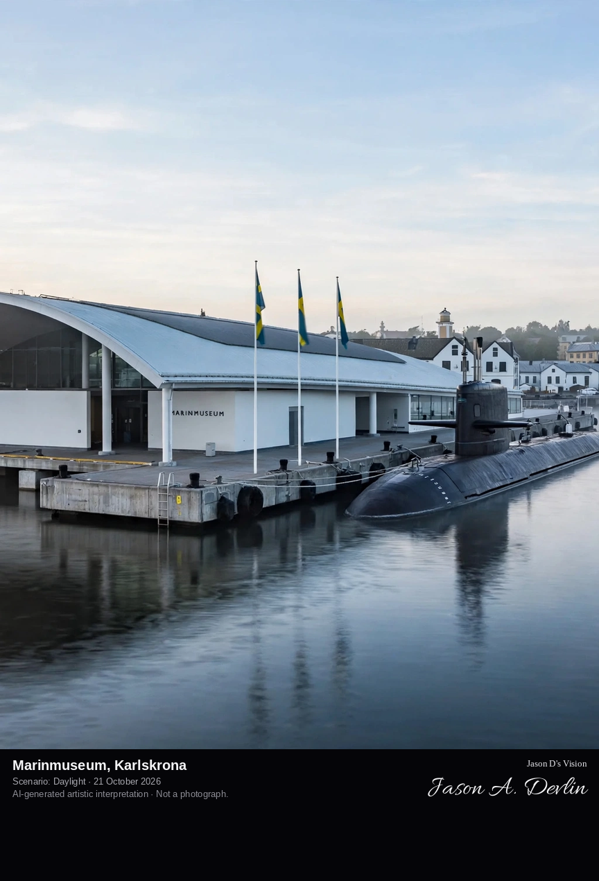
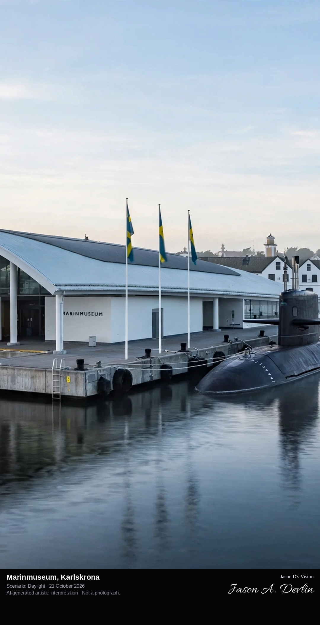
From the harbour: the Naval Museum's long modern hall reaching out over the water on piers, with a submarine moored alongside the museum quay on Stumholmen.
On the island of Stumholmen, once part of the working naval base, Karlskrona's Marinmuseum tells the story of the Swedish Navy. Its celebrated long hall is carried out over the harbour water on piers, so the museum itself seems to float at anchor among the fleet it describes. Alongside the quay lies the submarine HMS Neptun, open to visitors, and inside, the eighteenth-century figureheads of the old ships of the line look down the hall. The museum stands within the UNESCO World Heritage naval port of Karlskrona.
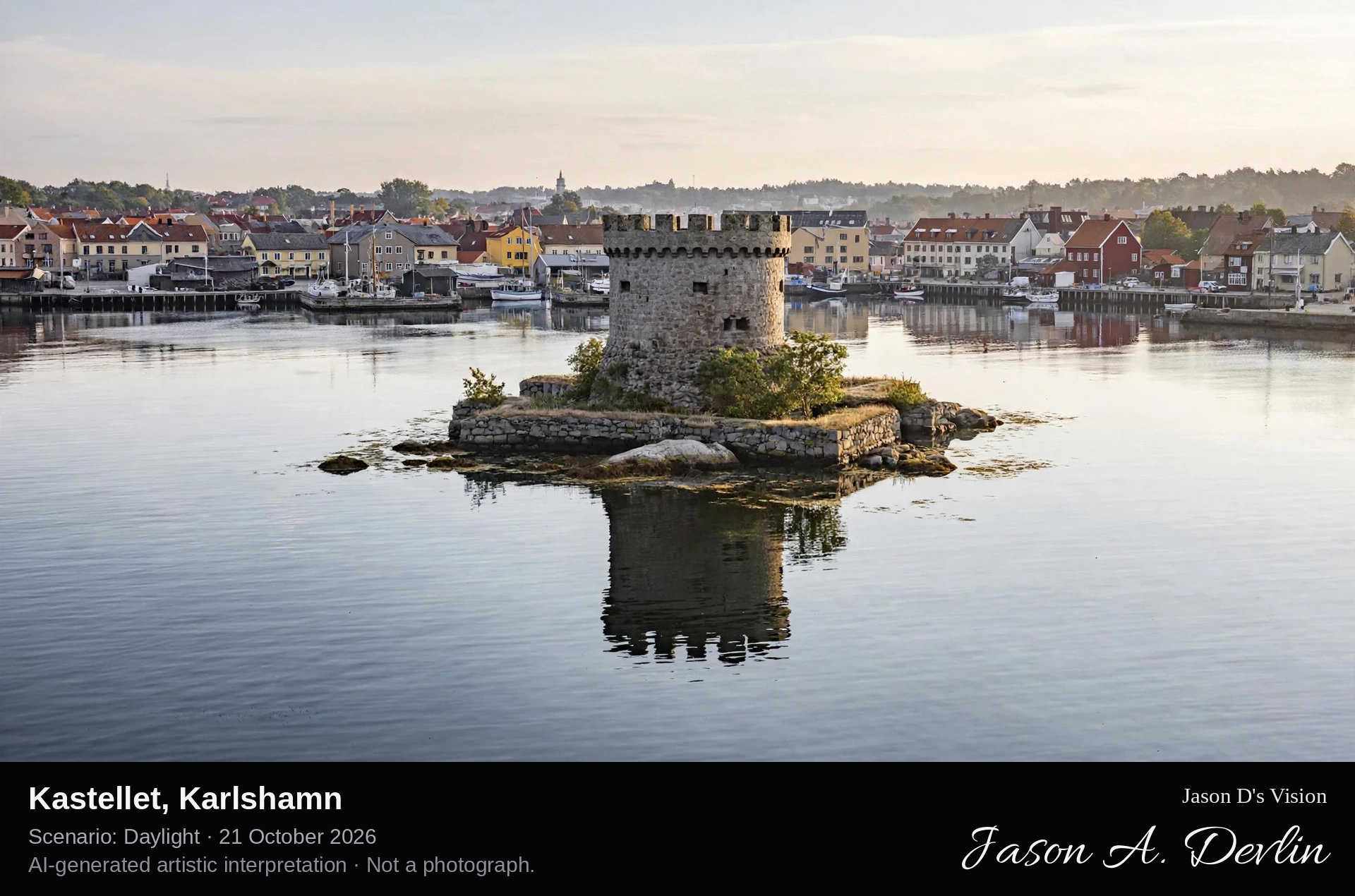
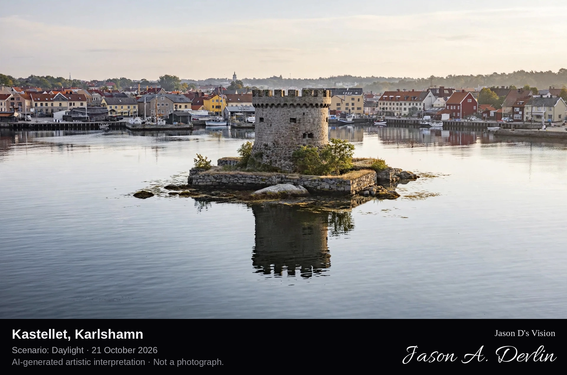
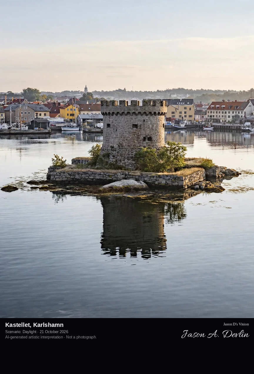
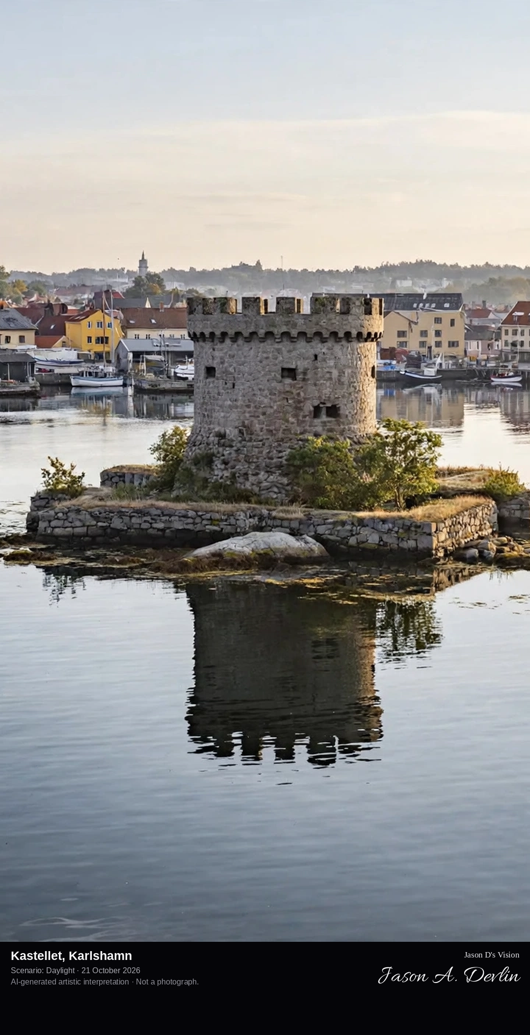
Across the harbour to the small fortress island: the stone castellated tower of Kastellet on Frisholmen, ringed by low walls at the water's edge.
In the middle of Karlshamn's harbour, on the small island of Frisholmen, stands Kastellet, the little stone fortress raised in the 1670s to defend the approach to the new town. Karlshamn had been founded in 1664 on the bay where the Mörrumsån reaches the Baltic, and its castellated tower, ringed by low walls at the water's edge, has watched the harbour ever since. Today the fortress is a quiet landmark between the working quays and the open sea, reached by boat in the summer season.
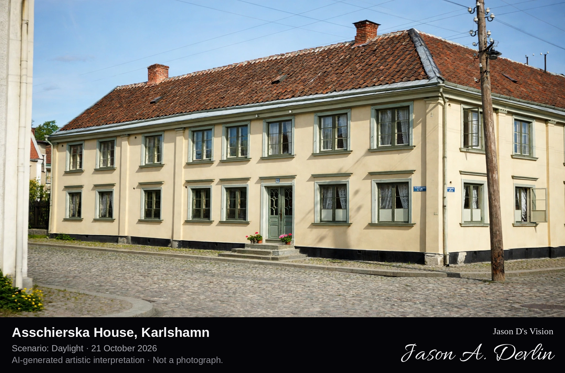
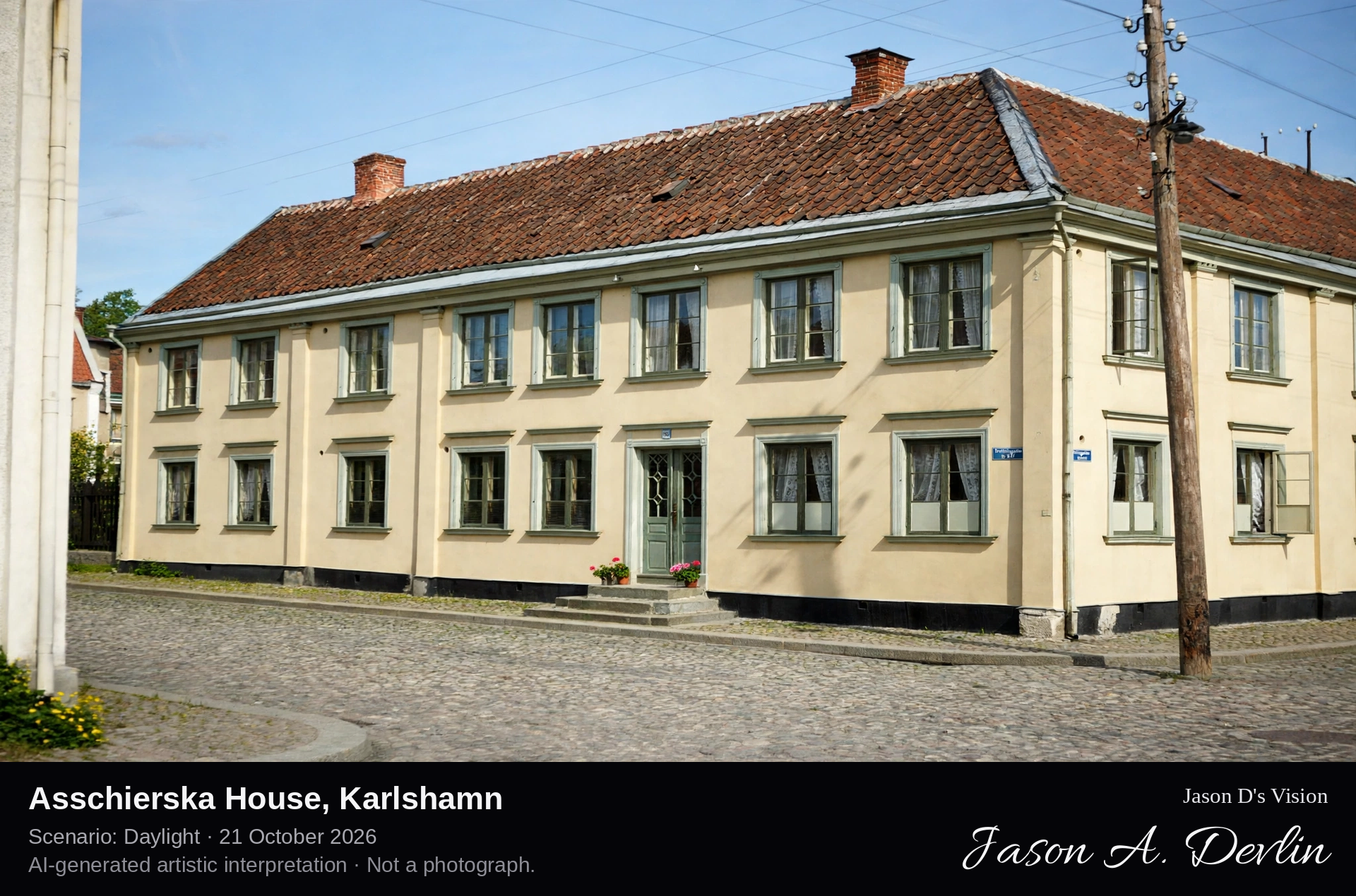
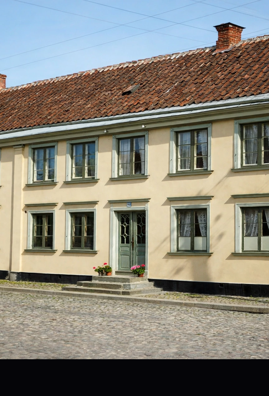
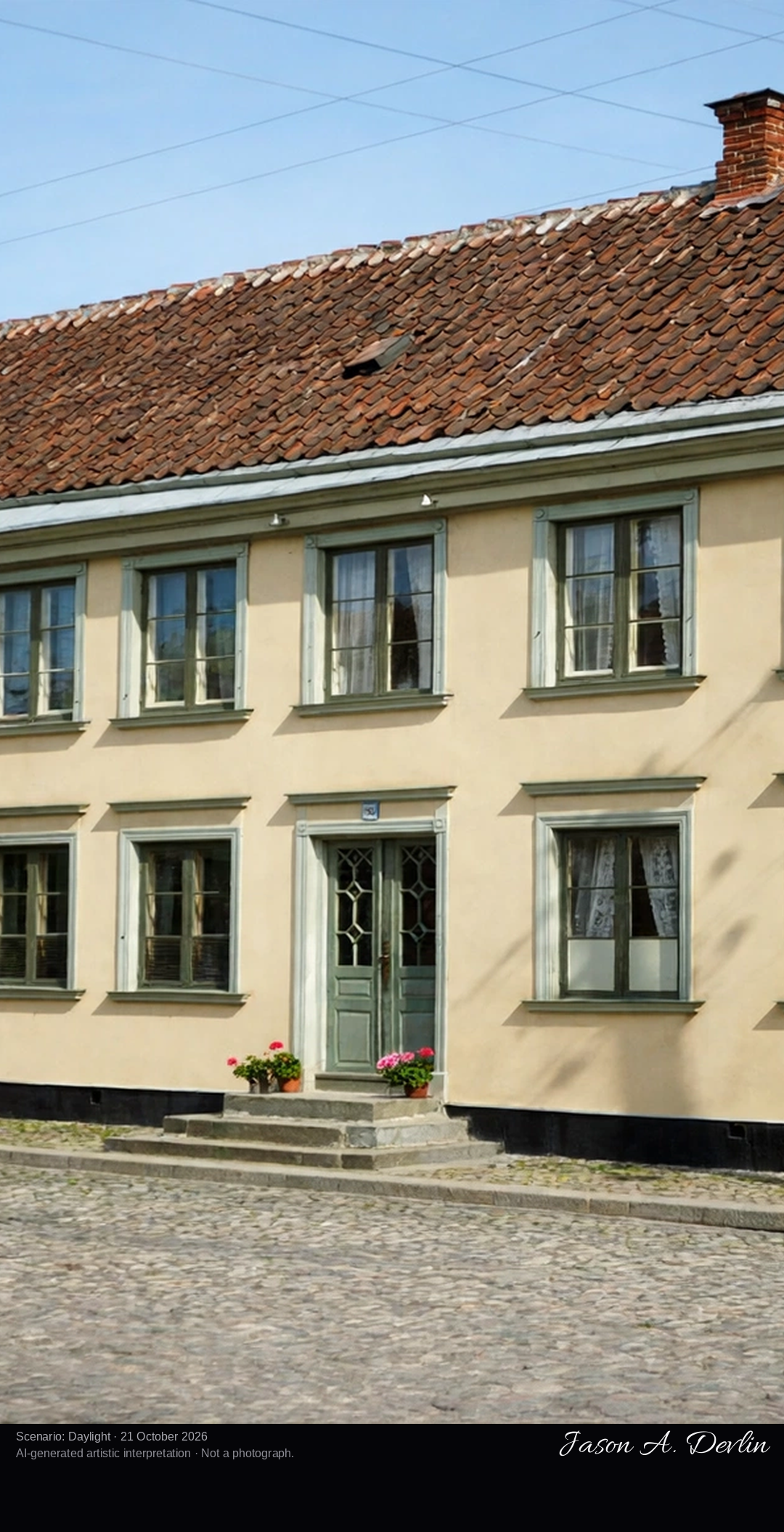
Street-level portrait of the half-timbered facade: dark timber framing over pale rendered panels, steep roof, on the cobbled street of the old town grid.
The Asschierska house is Karlshamn's most characterful old building, raised in 1682 as the town hall of the young port, only eighteen years after Karlshamn was founded. It is built in half-timbered technique, its dark beams framing pale panels, a construction quite unlike the plain timber houses around it. Under its steep roof it held the town's offices, its jail and its cellar, and a small tower with the fire bell once crowned the roof. Since 1814 it has been a private house, taking its name from the Asschier family, and it is protected today as a listed building.
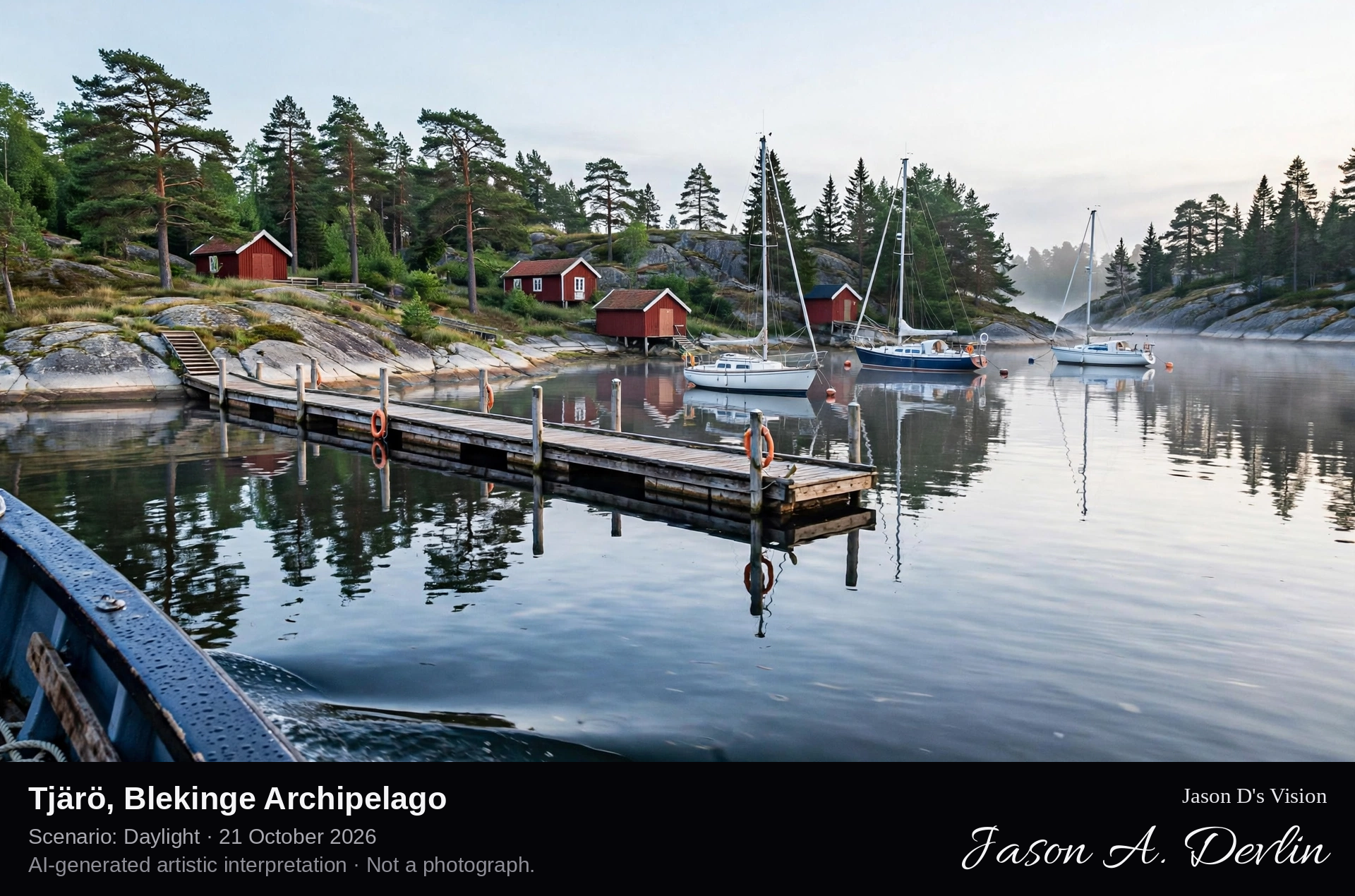
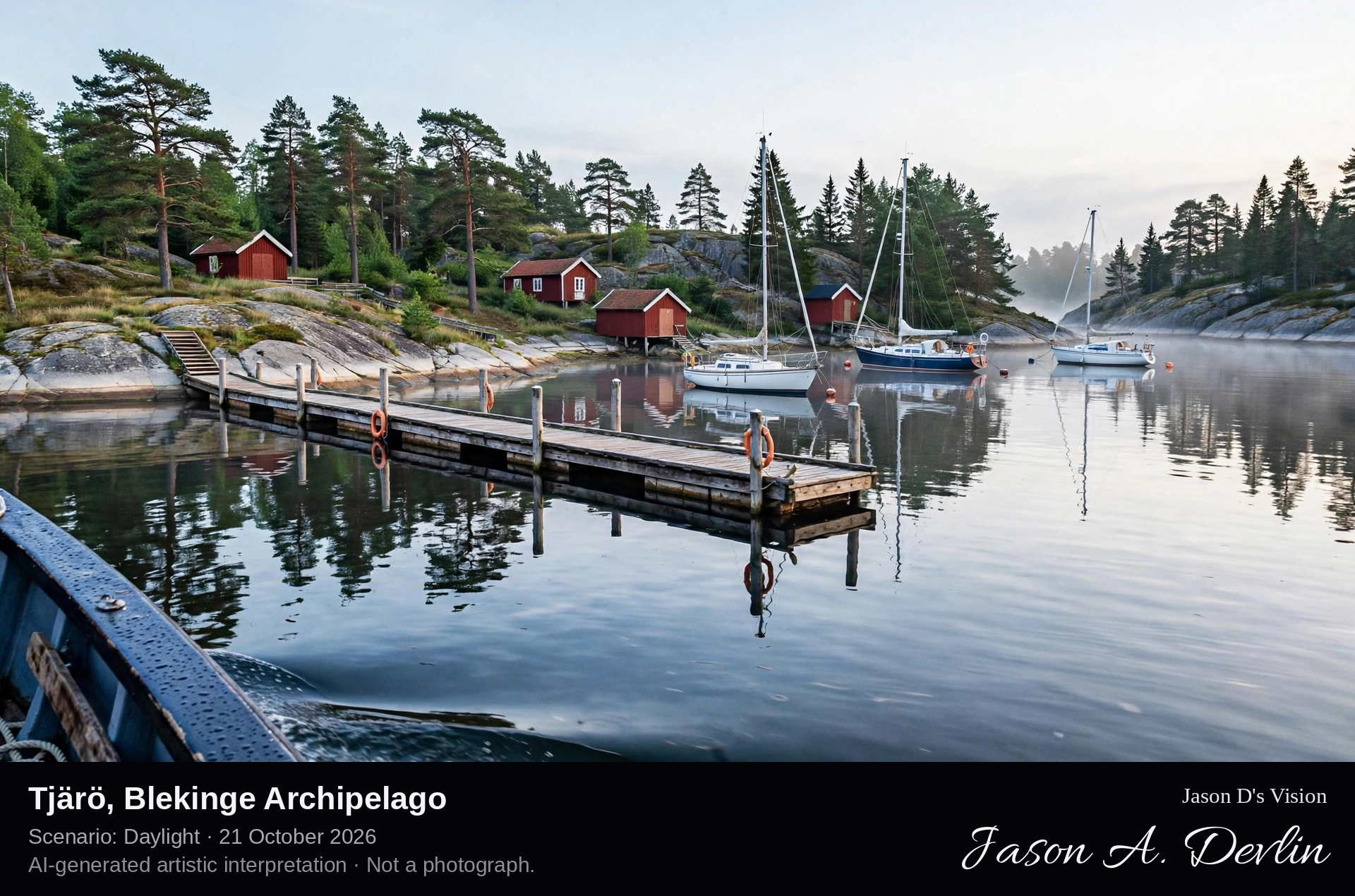
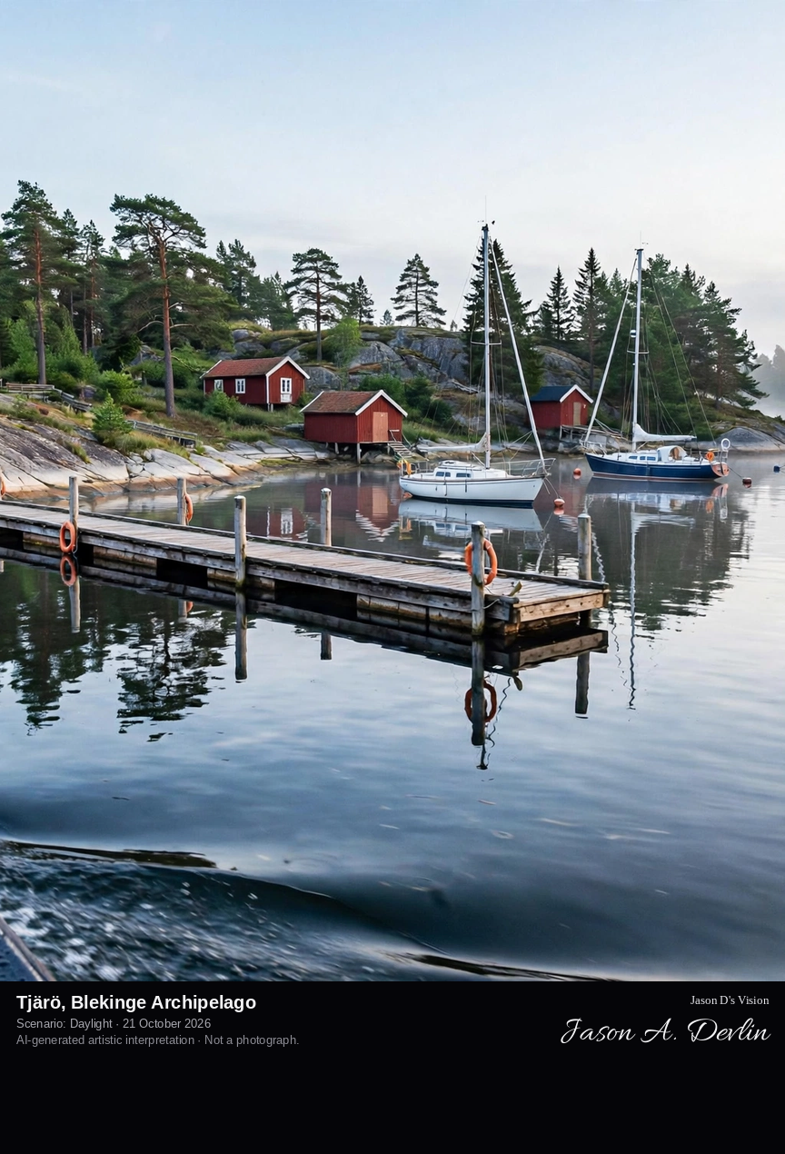
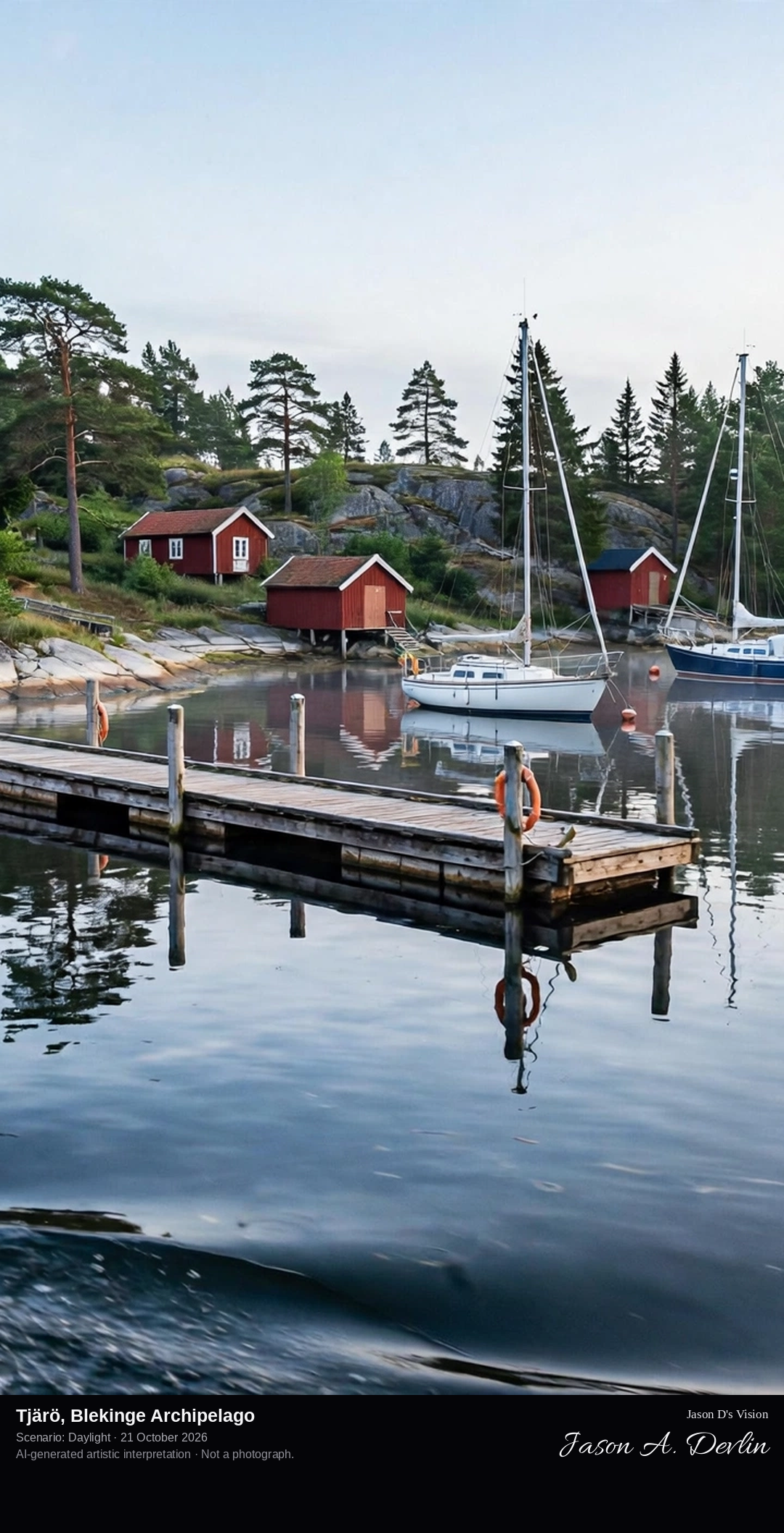
From the arriving boat: the guest jetty reaching into a sheltered cove, red cottages and boathouses among the pines on the low granite shore.
Tjärö is one of the beloved summer islands of the Blekinge archipelago, a low granite island of pine woods and smooth rocks with no cars. Boats arrive at the guest jetty in its sheltered cove, where red cottages, boathouses and the island's hostel cluster among the trees. Paths cross the island between bathing rocks and meadows, and the guest harbour fills with sailing boats through the summer weeks, Tjärö being a classic first landfall in the archipelago between Karlskrona and Ronneby.
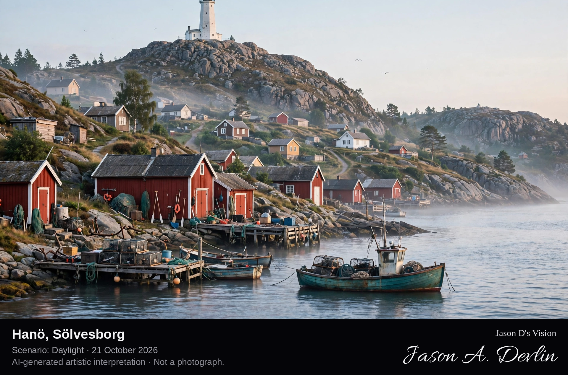
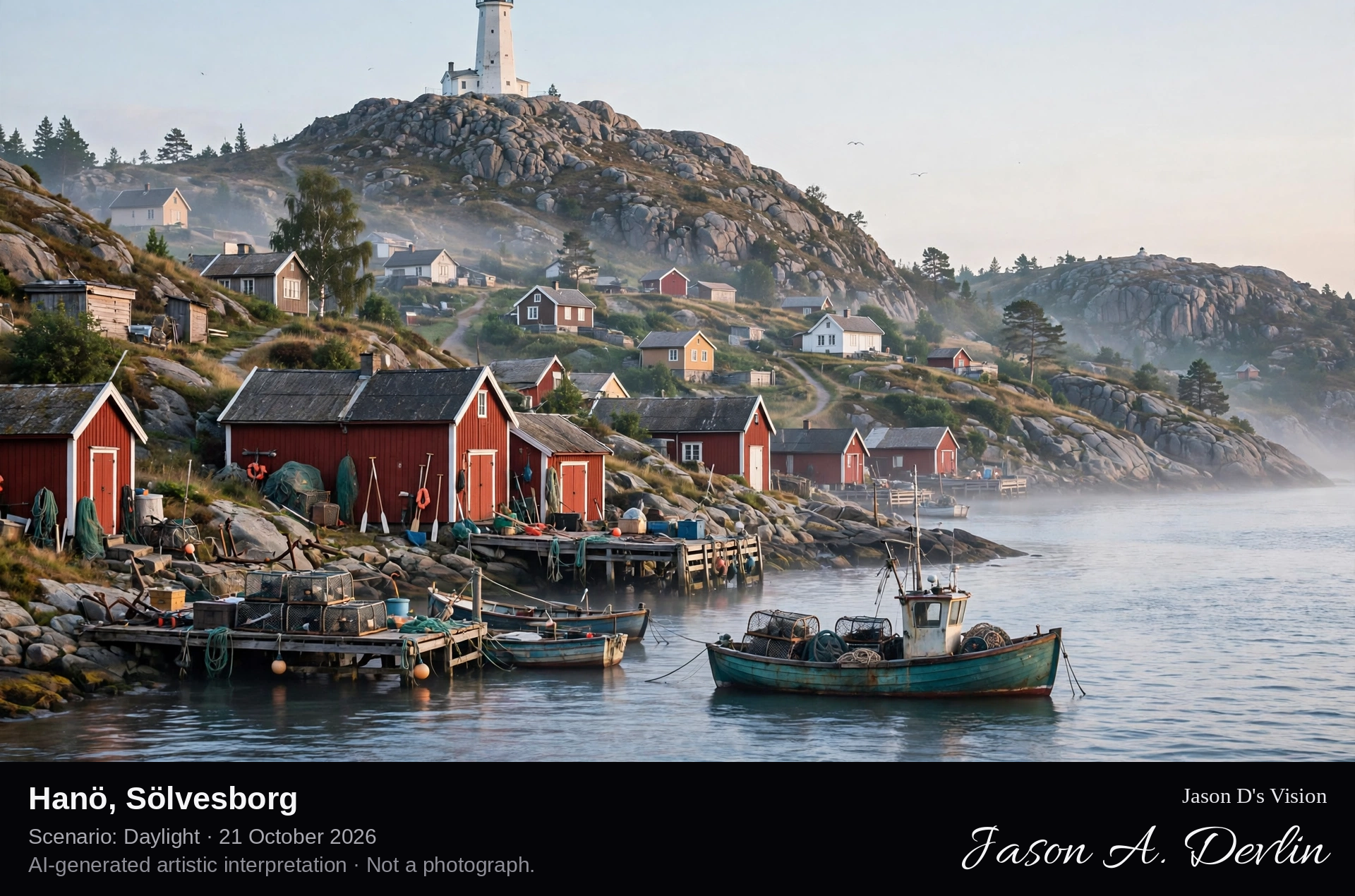
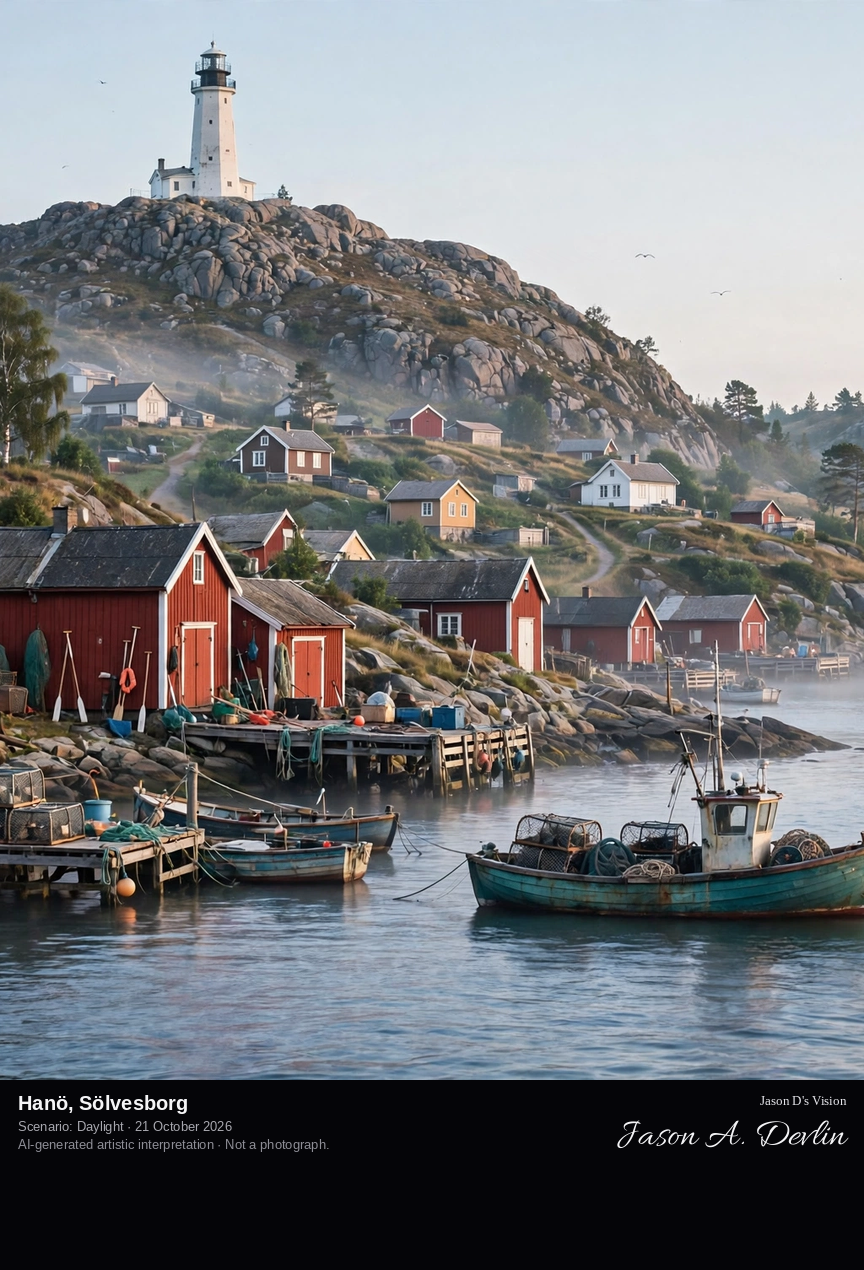
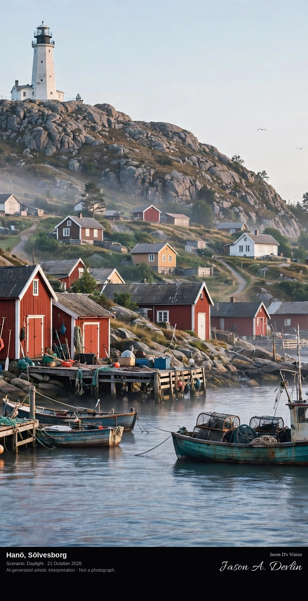
From the harbour approach: the small fishing harbour and village at the shore, the white lighthouse standing on the island's high granite crown above.
Hanö rises from Hanöbukten bay off Sölvesborg, a granite island whose white lighthouse of 1906 stands on its high crown, visible far across the bay. Below the light lies the island's small fishing harbour and village, reached by ferry from Nogersund on the mainland. Hanö is a nature reserve where a herd of fallow deer roams the juniper heaths and shore meadows, and the island's exposed rocks carry the carved names of visiting ships' crews from centuries of Baltic seafaring.
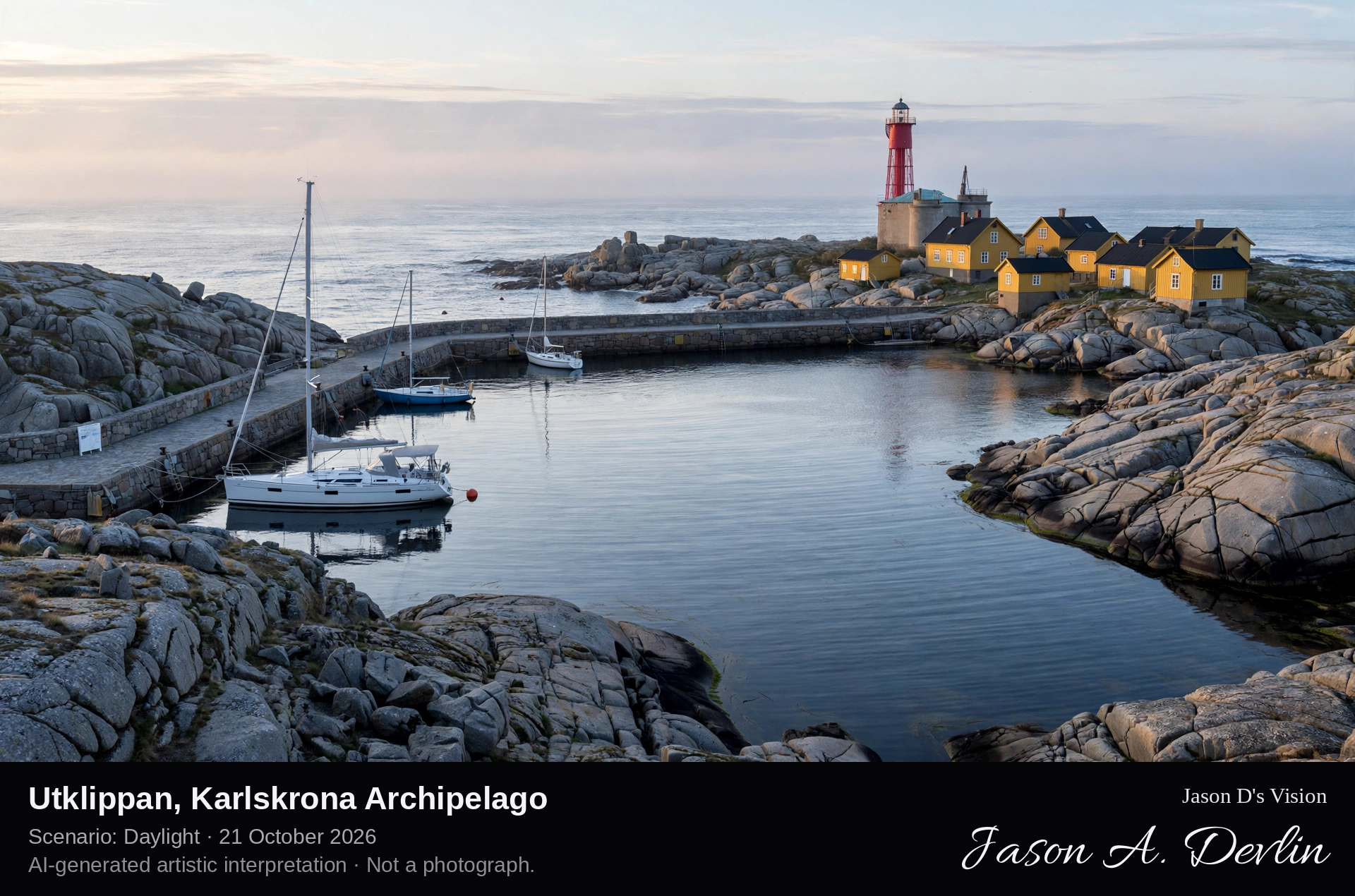
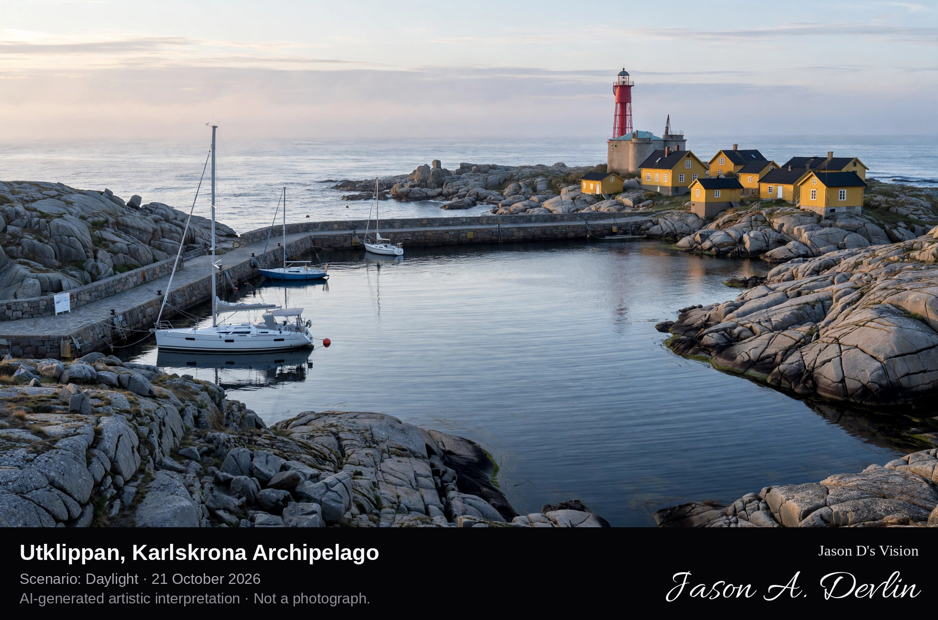
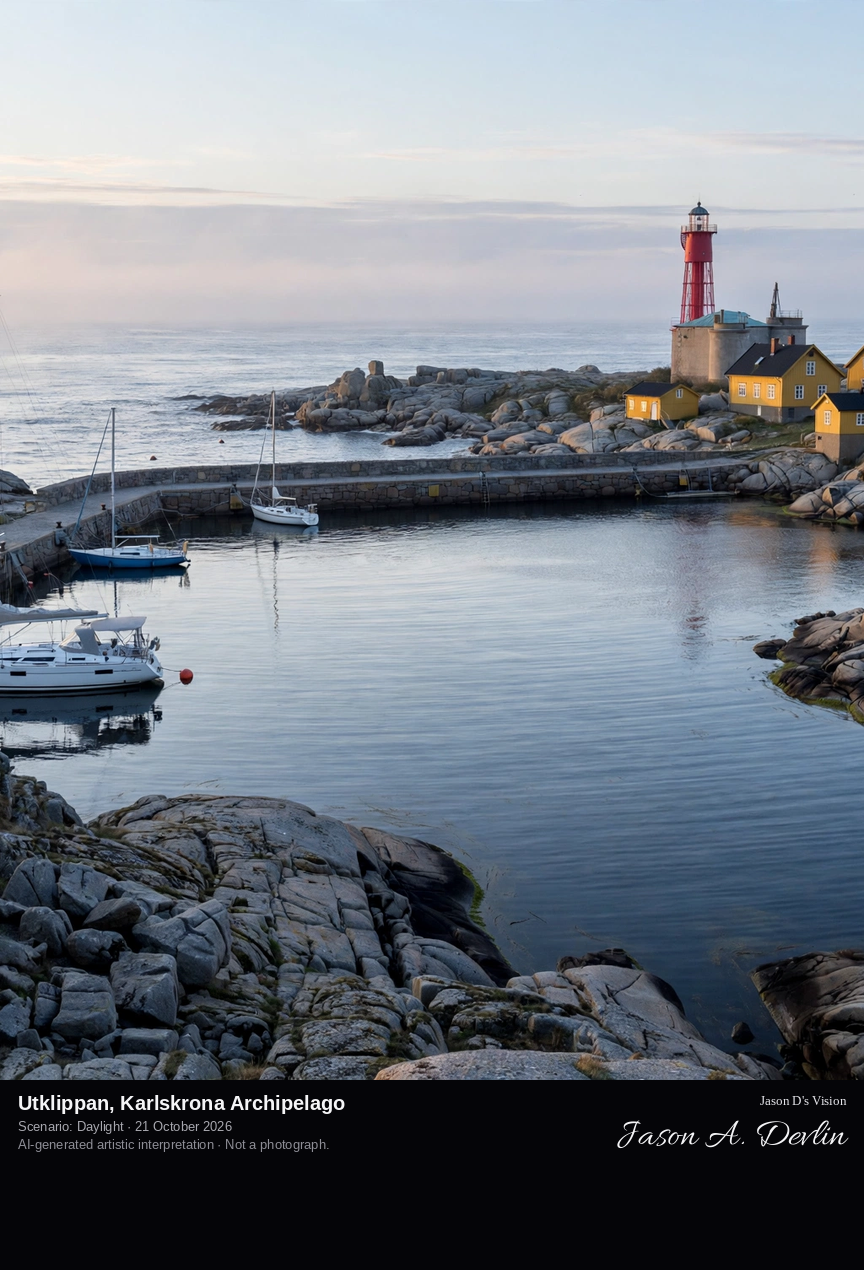
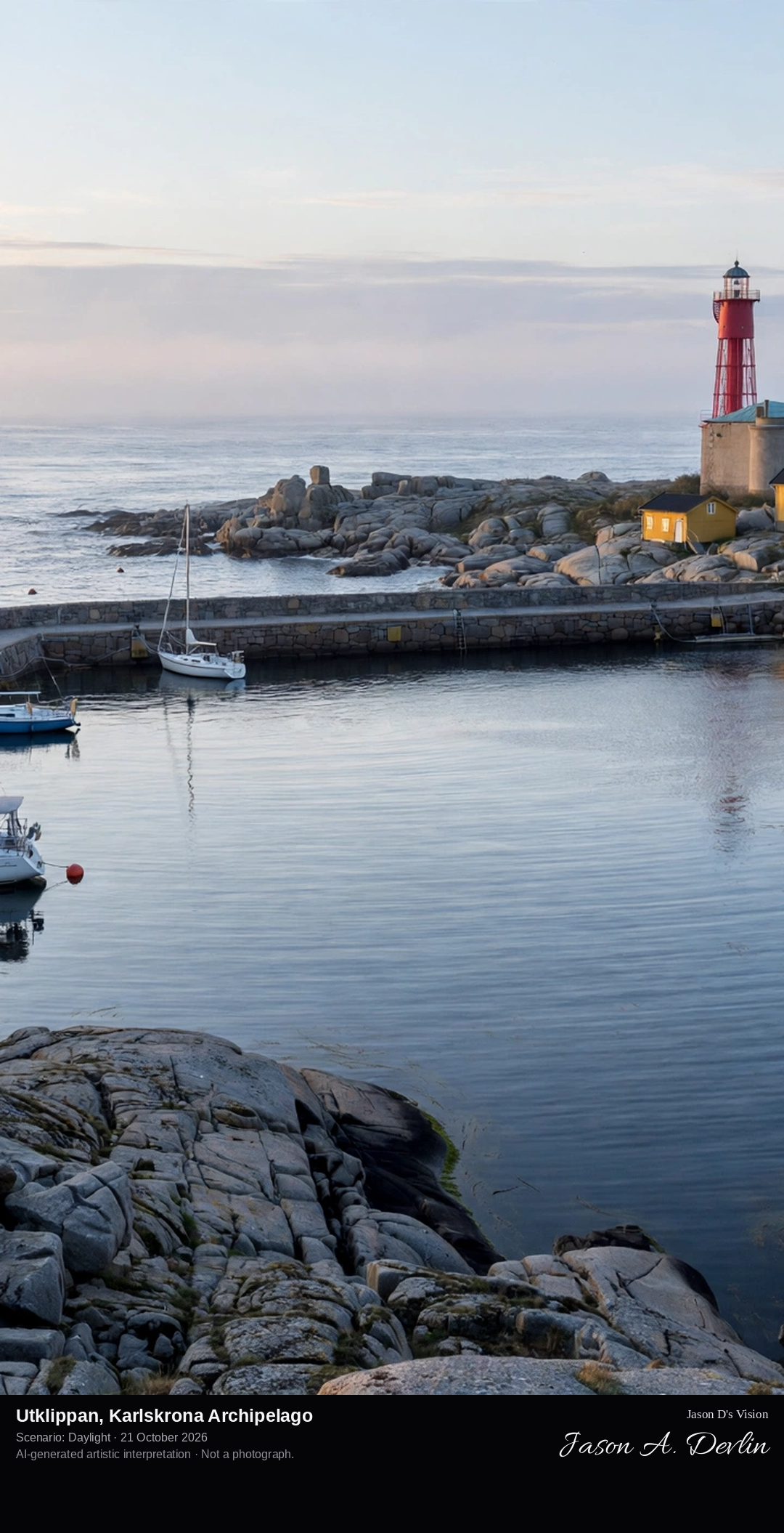
Across the sheltered guest harbour between the two bare skerries: yachts at the quay on Norraskär, and on Södraskär opposite, the tall red lighthouse with the yellow keeper's houses.
Utklippan is Sweden's south-easternmost outpost, two bare granite skerries, Norraskär and Södraskär, alone in the open Baltic off Karlskrona. Between them lies a small, famously sheltered guest harbour blasted into the rock of Norraskär, where yachts raft up on summer nights. On Södraskär stands the tall red lighthouse of 1870, more than thirty metres high, with the yellow houses of the keeper's station beside it, the last Swedish landfall before the open sea toward Bornholm.
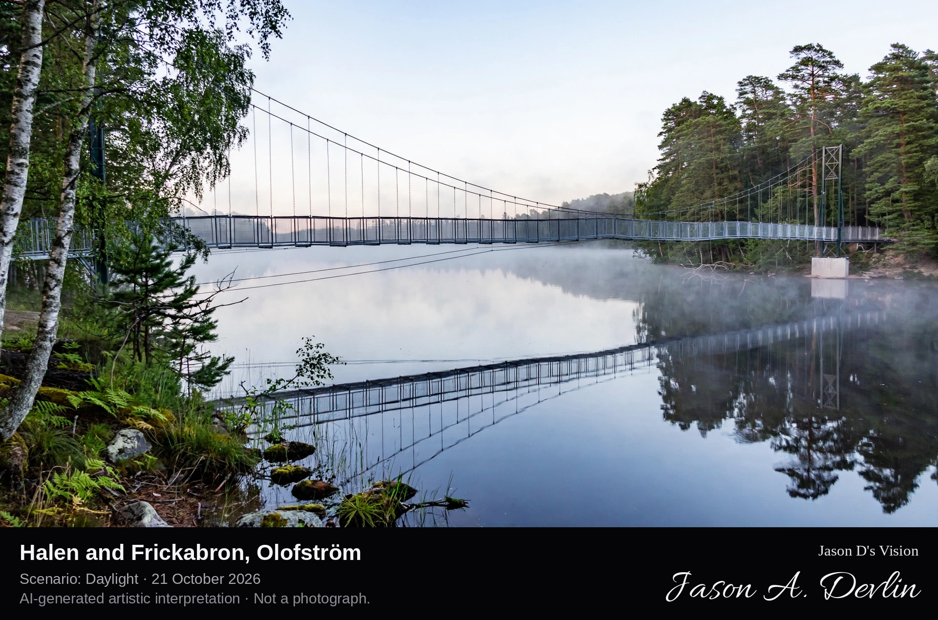
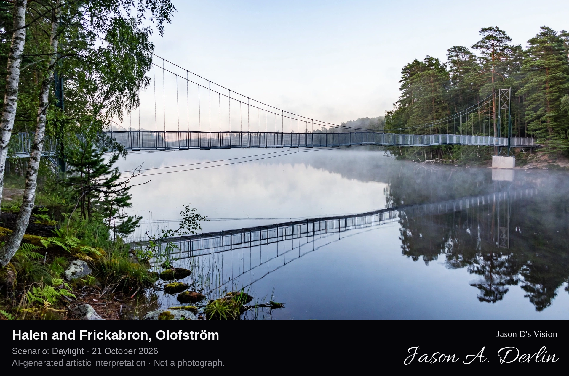
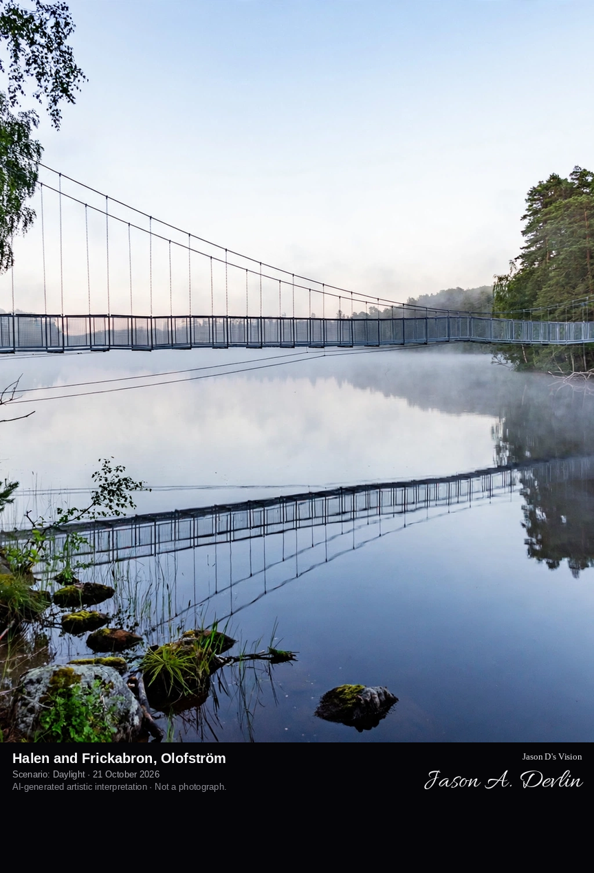
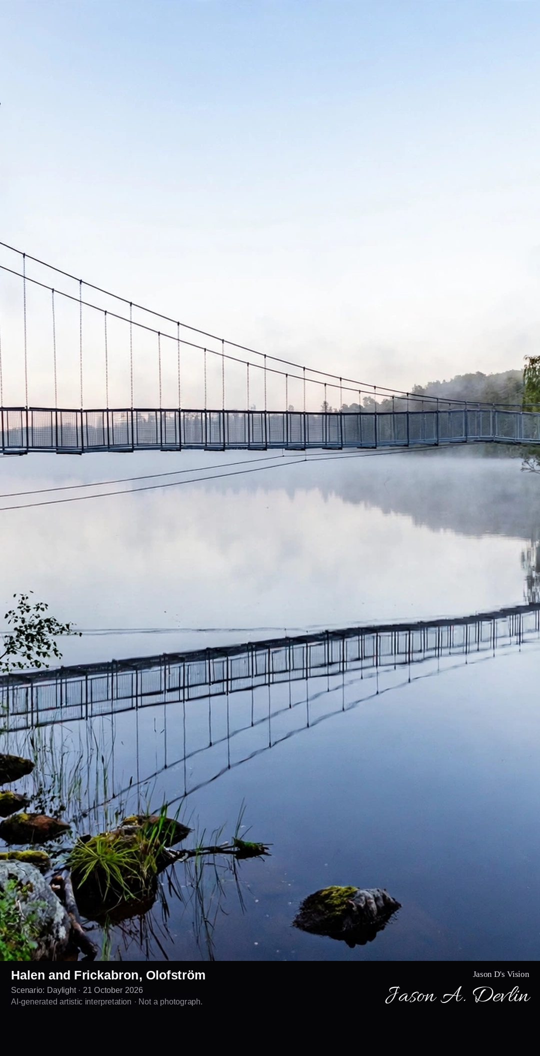
Across the still lake water: the slender Frickabron pedestrian suspension bridge spanning between forested shores of the Halen nature reserve.
West of Olofström lies Halen, the largest lake in Blekinge, its forested shores protected as a nature reserve and crossed by the Blekingeleden trail. At a narrow of the lake the Frickabron, a slender pedestrian suspension bridge built in 2020 and named for a local police officer, links the reserve's two shores. From the bridge the lake opens both ways, a long sheet of still water between pine and oak shores, in a district of more than two hundred lakes.
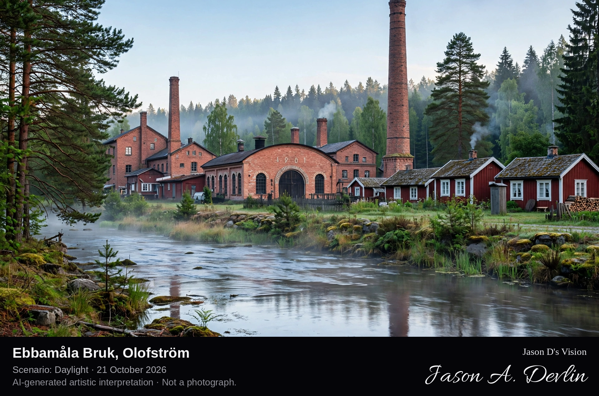
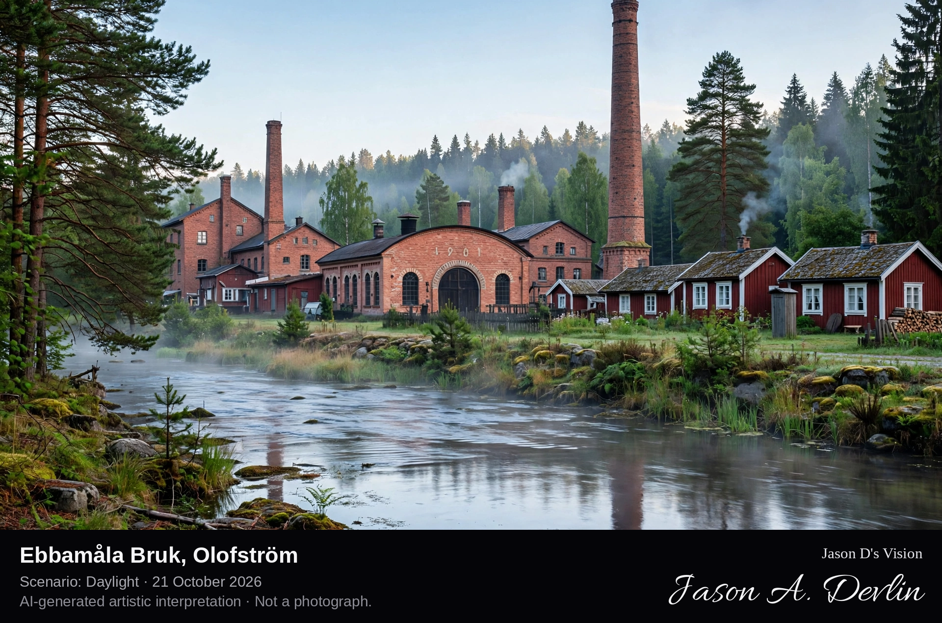
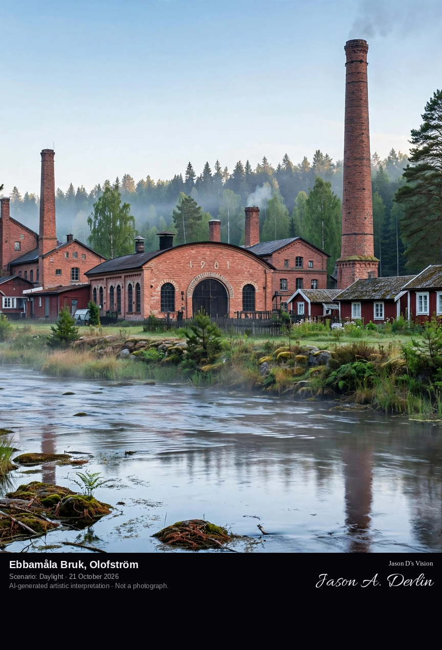
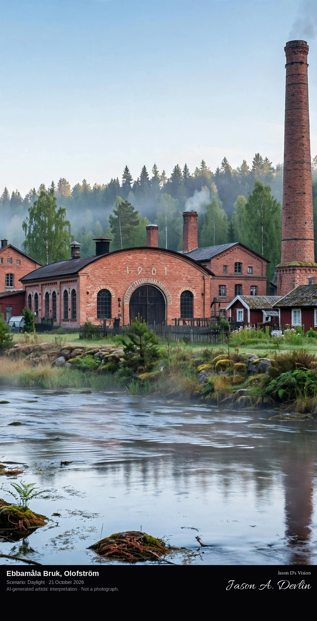
Across the river meadow: the bruk's ensemble of brick foundry buildings and chimneys in the forest clearing, the Mörrumsån river running in front.
Deep in the forest north of Olofström, the Mörrumsån river turns the wheels of Ebbamåla Bruk, one of Sweden's best-preserved small industrial landscapes. A hand-moulding foundry worked here from 1886 to 1967, and from the 1890s a little company town of industry grew around it: a carbon-black factory, a starch factory, a wood-wool factory and a hydro power station that still generates electricity from the river. The foundry, the workers' houses and the machine halls survive as a listed industrial monument, revived each summer with tours and iron-casting nights.
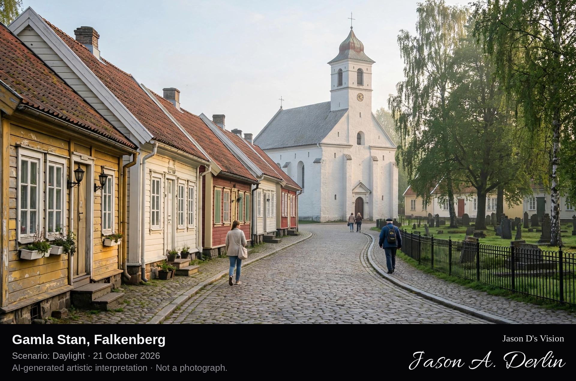
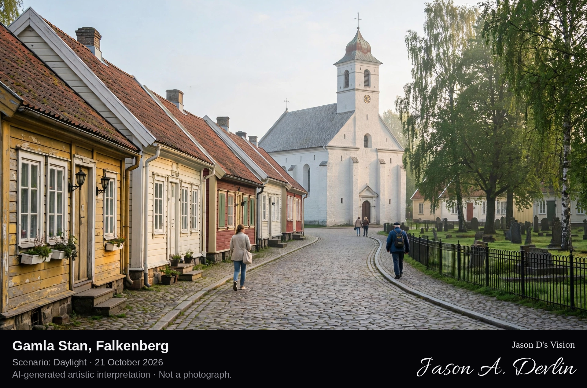
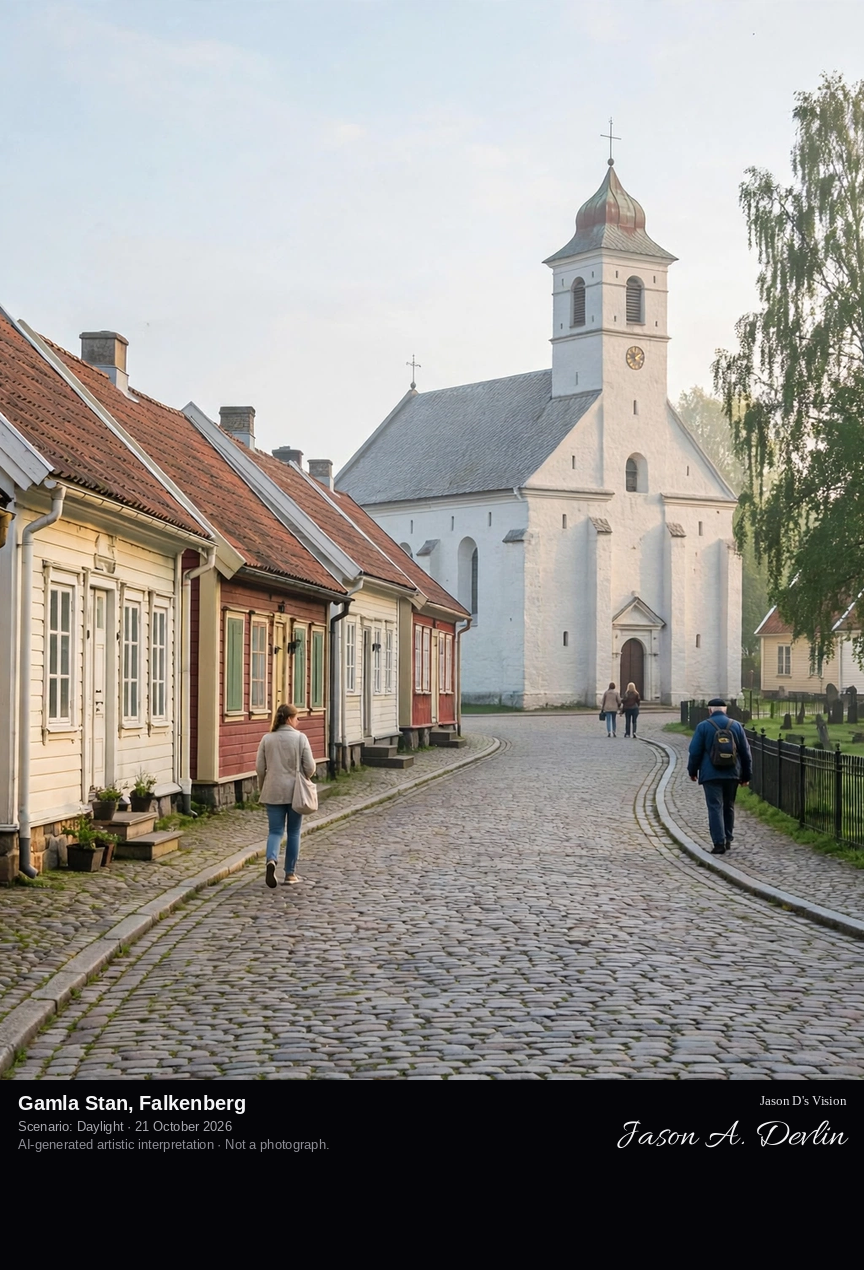
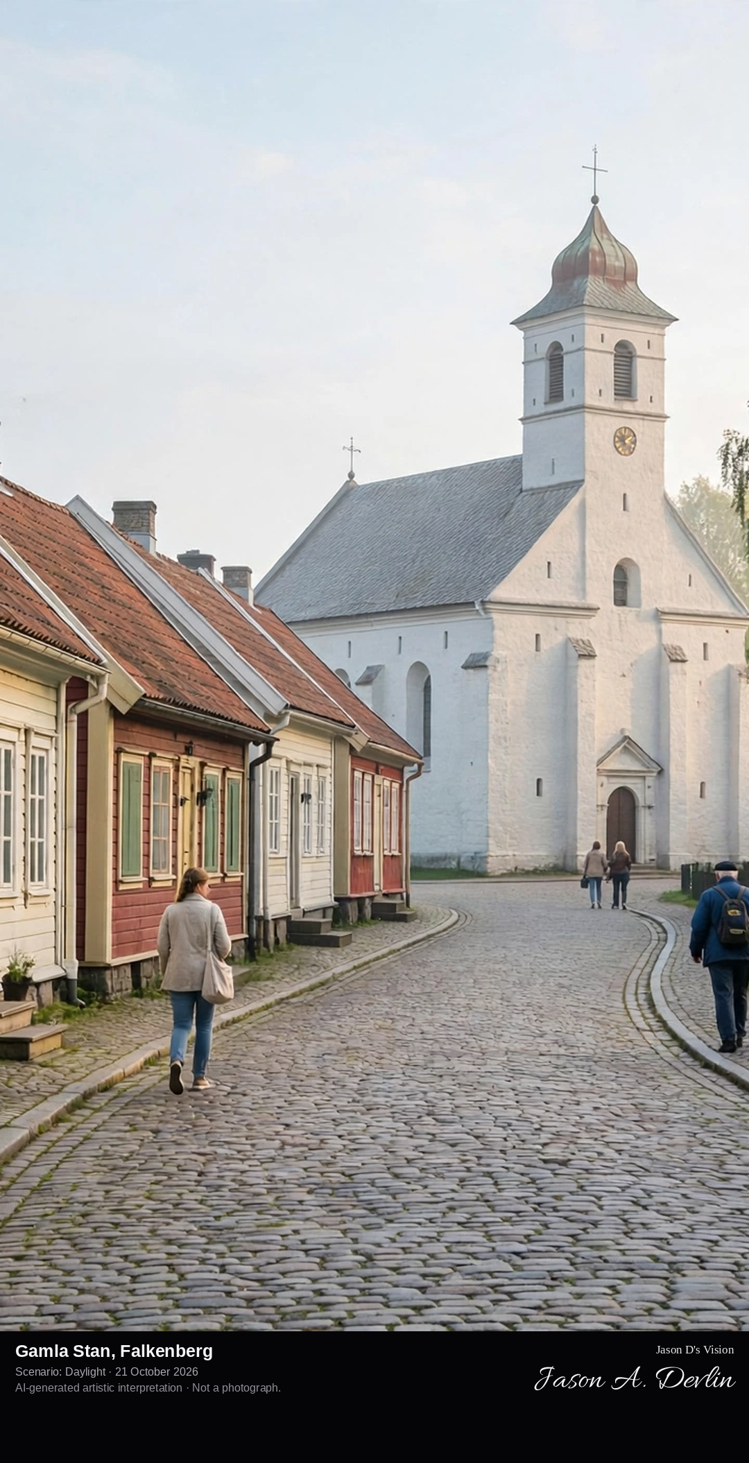
Along the cobbled Storgatan in Falkenberg's old town, a gently curving street of low, slightly crooked 19th-century wooden houses leading toward the white S:t Laurentii church, the town's medieval church.
Gamla Stan, the old town of Falkenberg, lies by the river Ätran just west of the stone Tullbron bridge. Its cobbled streets keep their low, crooked wooden houses, most of them from the 19th century, after the town centre moved north in the mid-1700s. At its heart stands S:t Laurentii church, Falkenberg's oldest building, whose oldest parts date from the 1300s, with a tower added in the 1700s. Around the church lies Laurentiiparken, with the old Gåsatorget market ground and a rosarium of some eighty rose varieties.
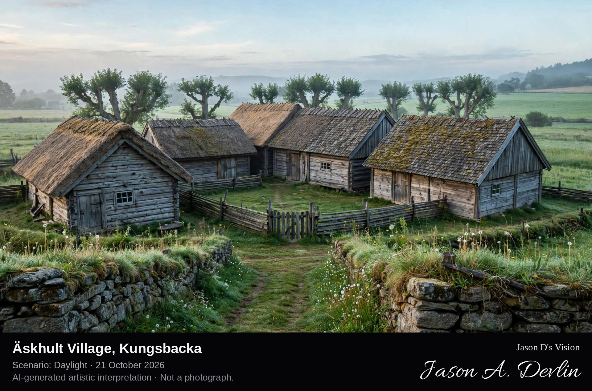
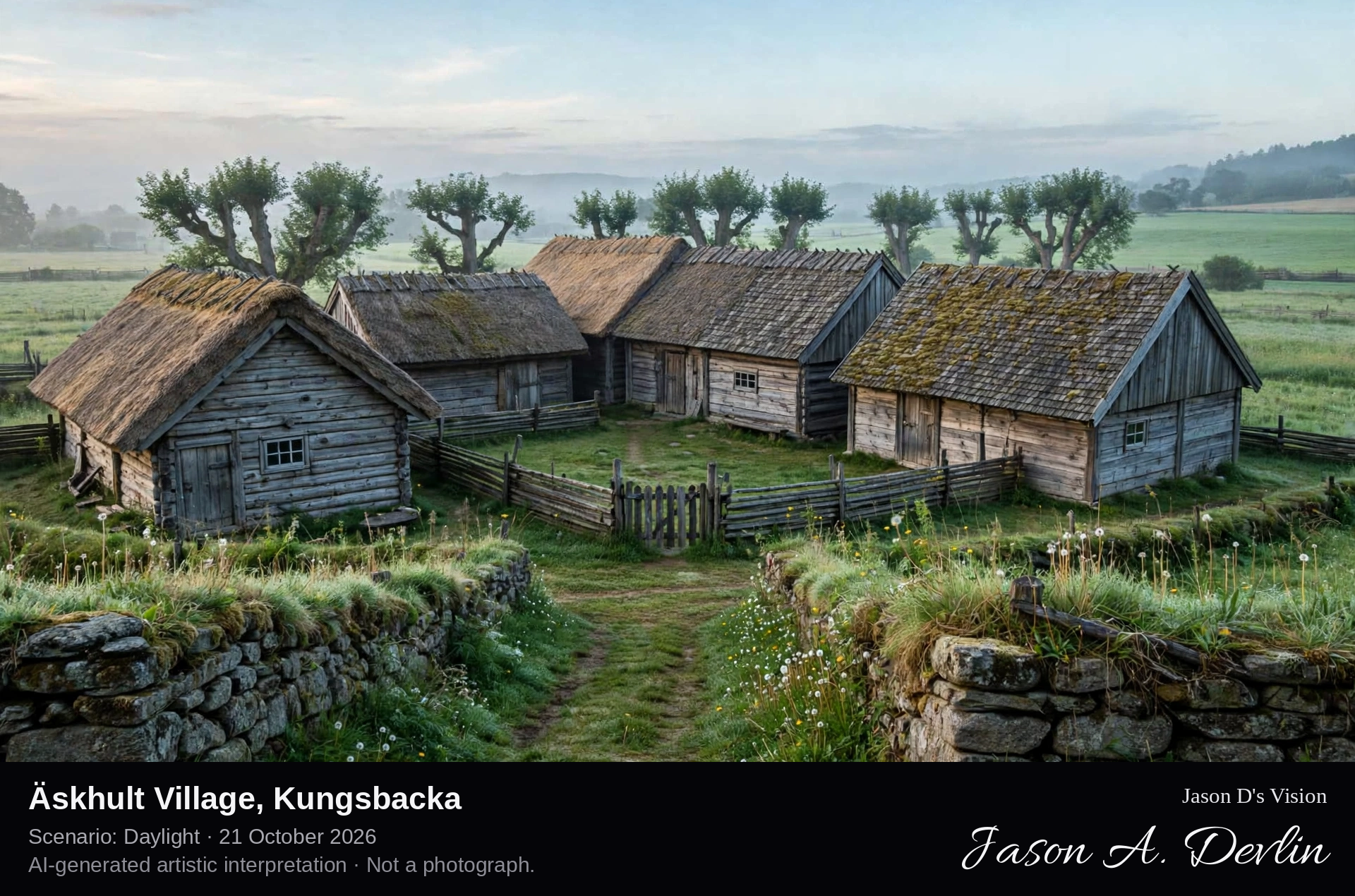
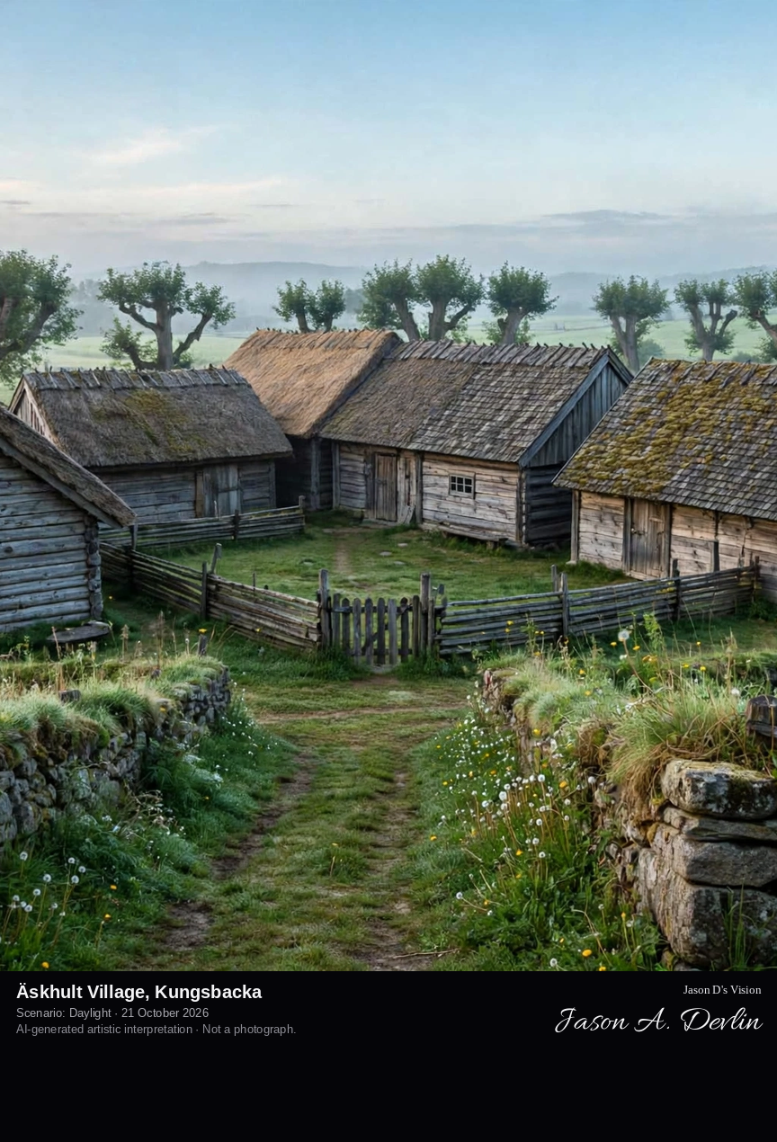
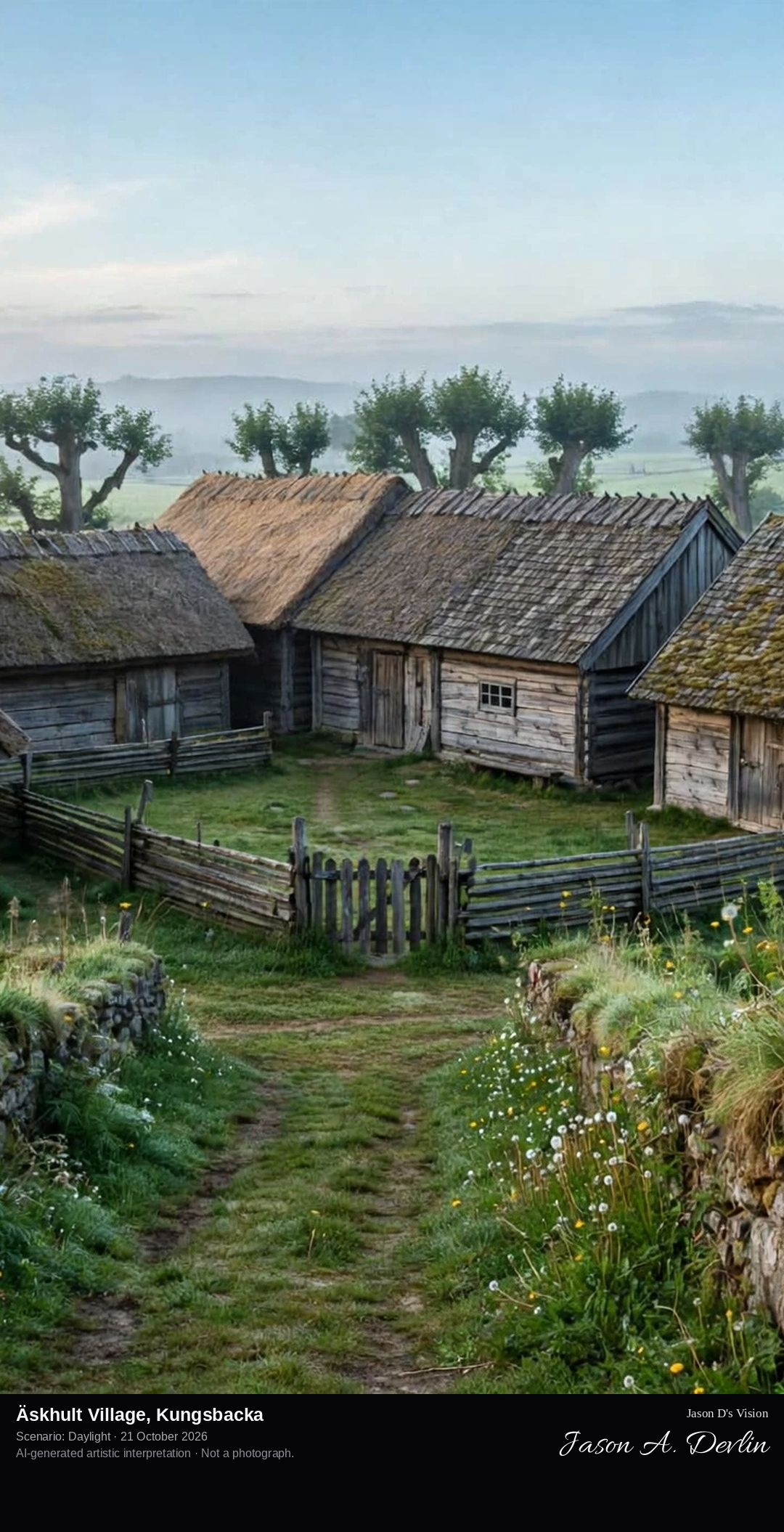
Across the village green of Äskhult: the four farms' unpainted, weathered timber buildings clustered tightly around the village square, with stone fences and a grass lane in the foreground.
Äskhults By, near Fjärås in Kungsbacka municipality, is a village that was never broken up by the 19th-century land reforms: its four farms, Göttas, Jönsas, Bengts and Derras, still stand tightly clustered around the village square as they did in the 18th century. The buildings are of oak and pine, roofed with thatch, shingles or tiles, and have never been painted, keeping their silvered weathered timber. First mentioned in 1592 as Escholt, the village and its old field landscape were declared a cultural reserve in 2004.
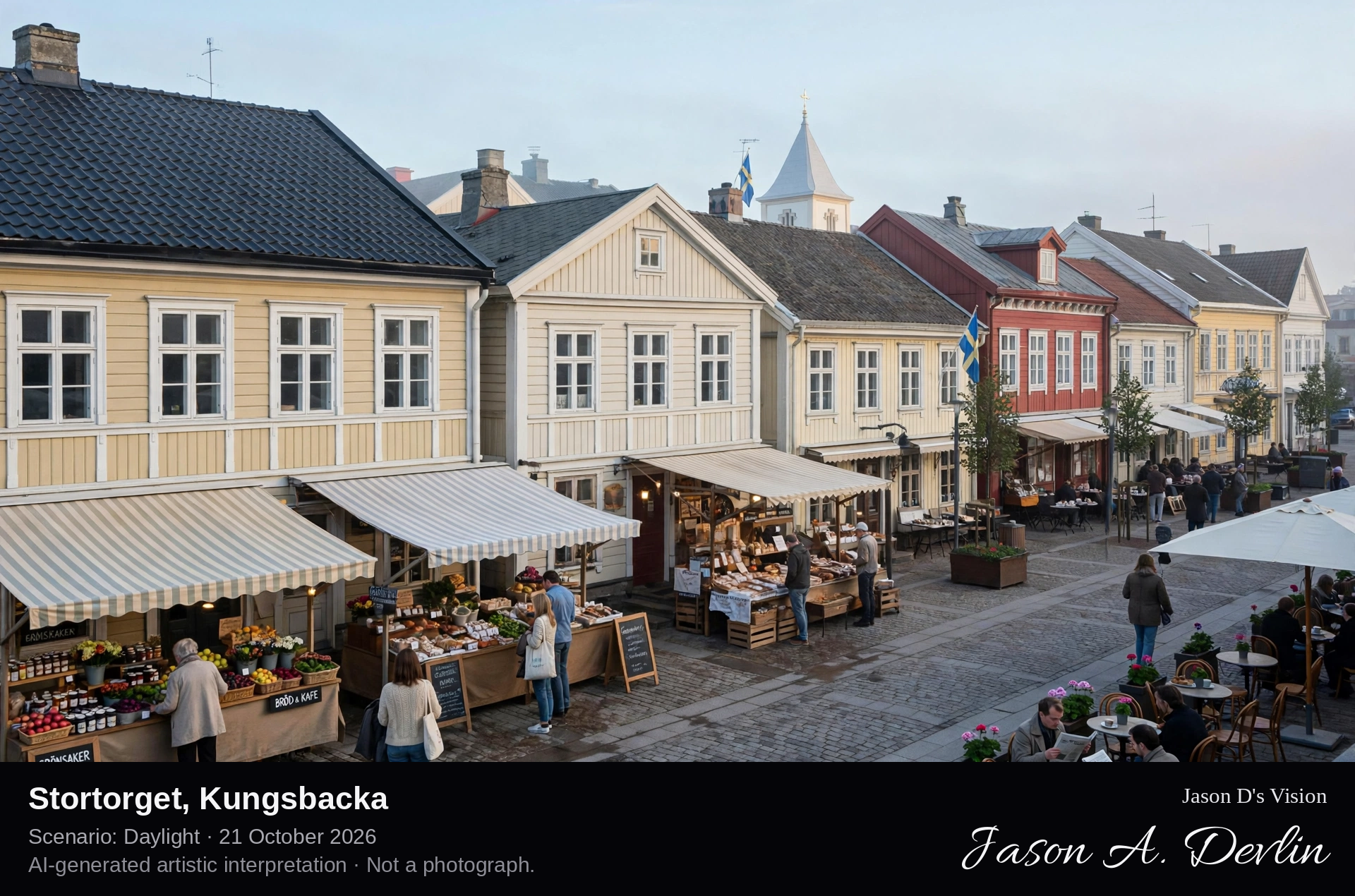
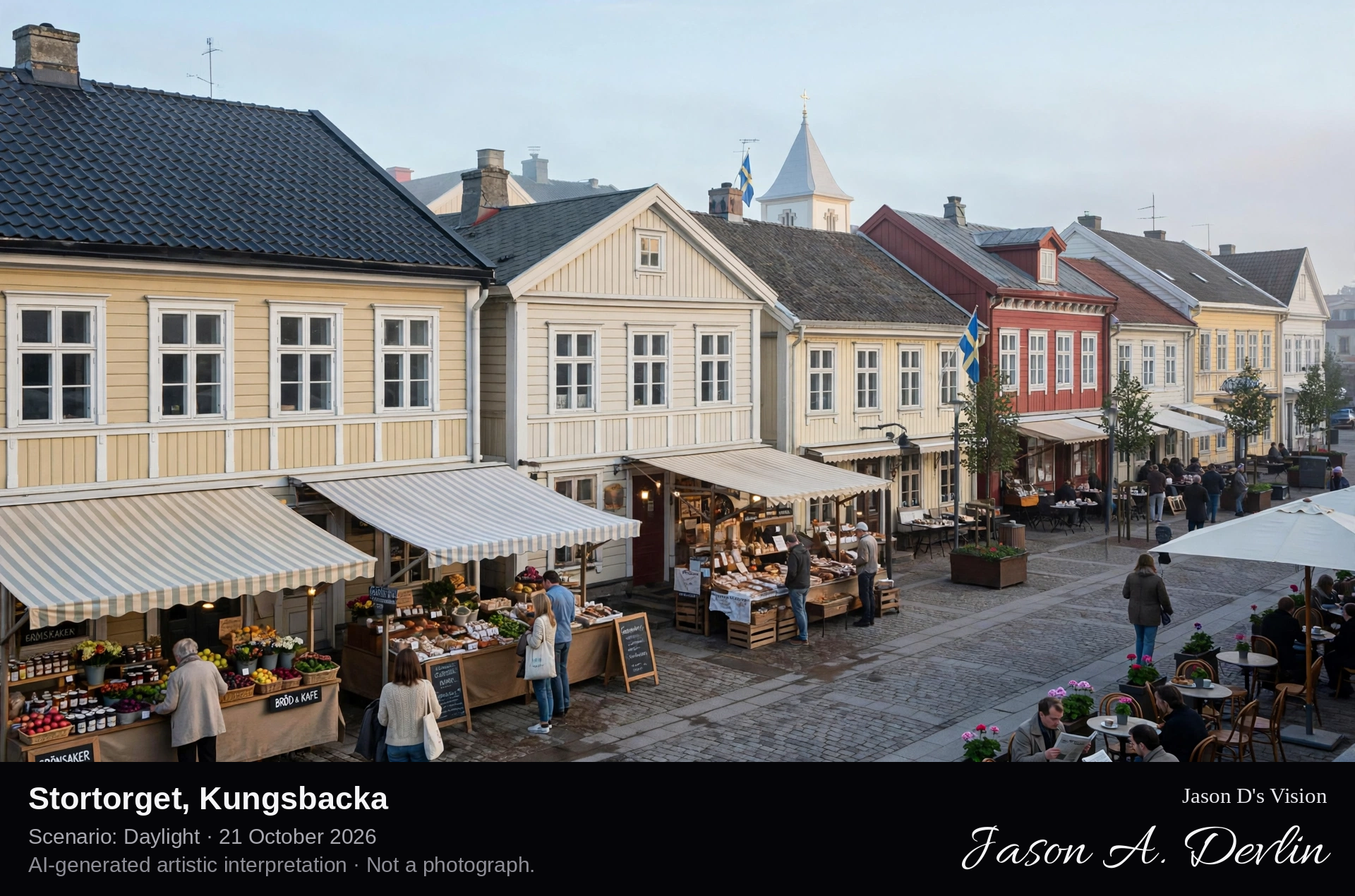
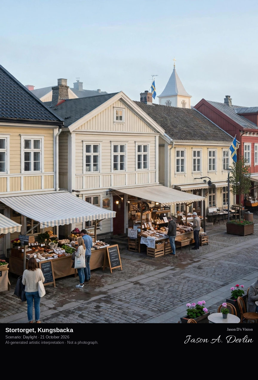
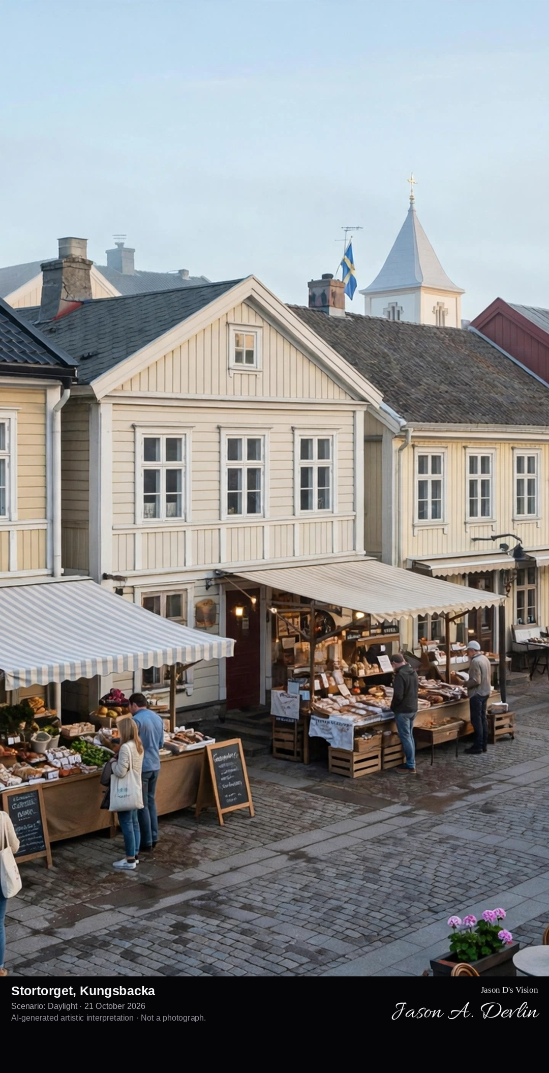
Across Kungsbacka's paved central square on a market morning, low turn-of-the-century wooden town houses in soft colours lining the square, with market stalls in the middle ground.
Stortorget is the central square of Kungsbacka, a town founded in the early 1500s between two rivers, where markets have been held since medieval times and a monthly market still fills the square. In 1846 a devastating fire wiped out nearly the whole town; only two buildings from before the fire survive. Kungsbacka was rebuilt, and the square is ringed by the low wooden town architecture of the turn of the last century, today housing cafés, shops and restaurants at the heart of the town centre.
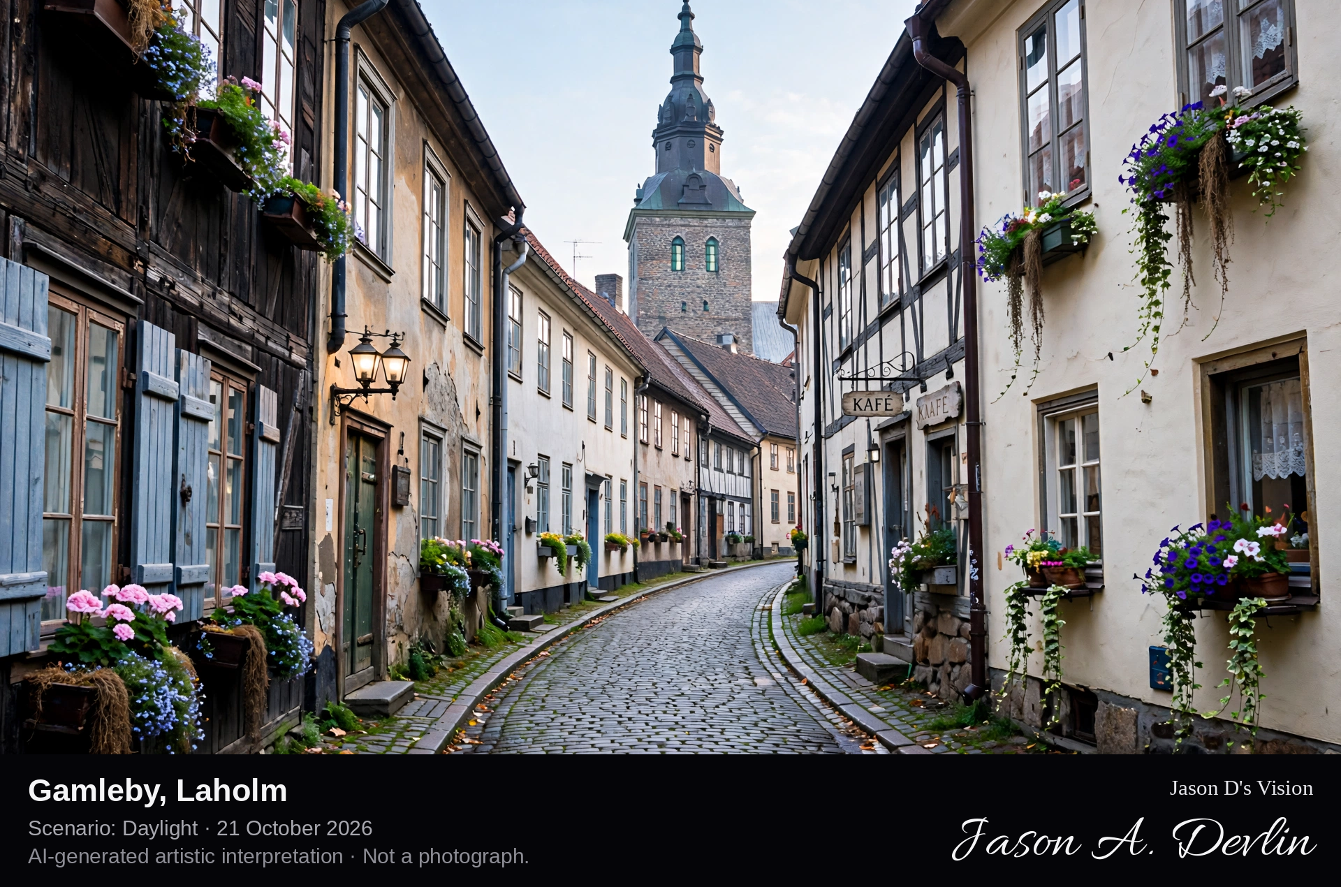
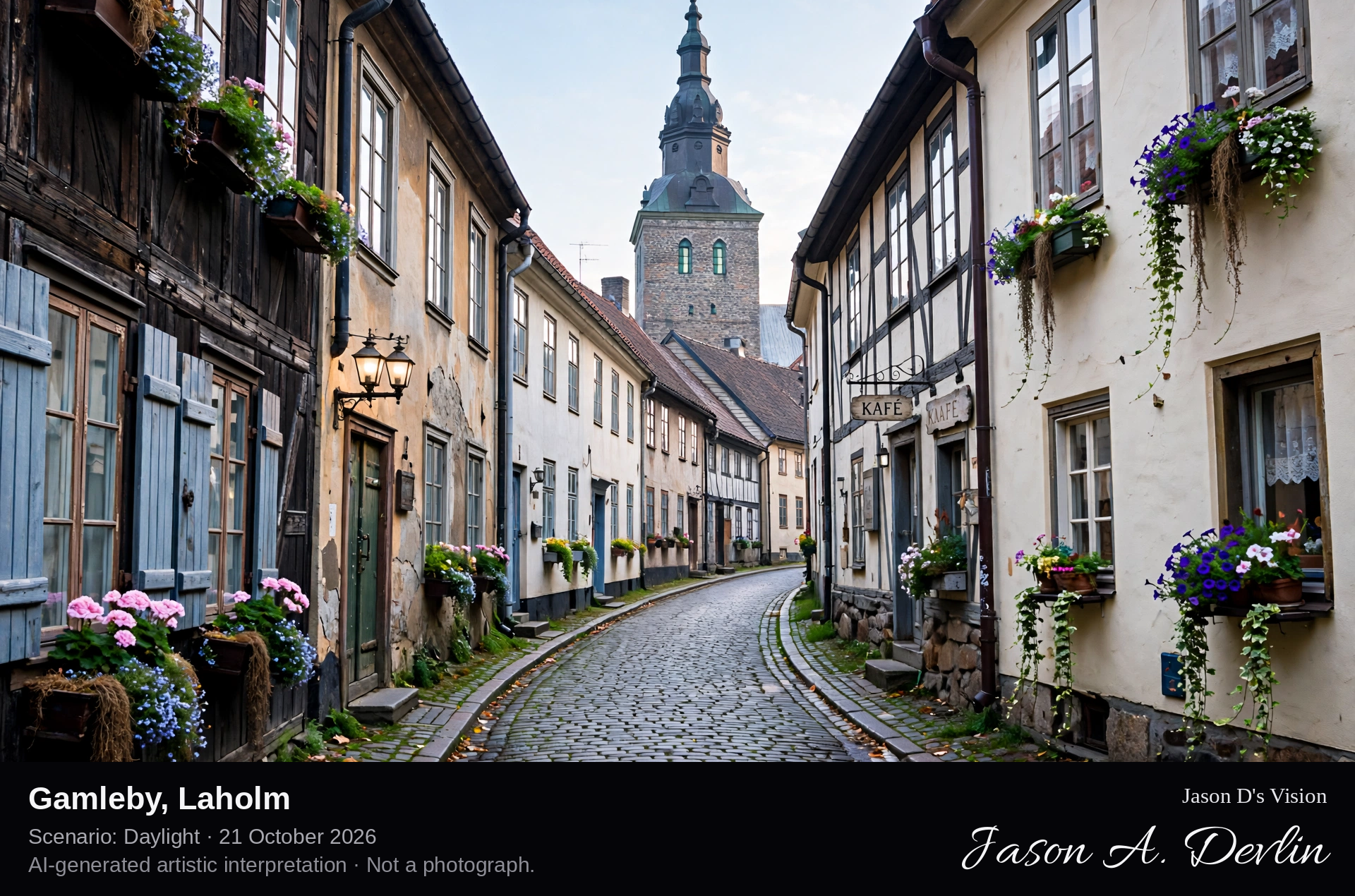
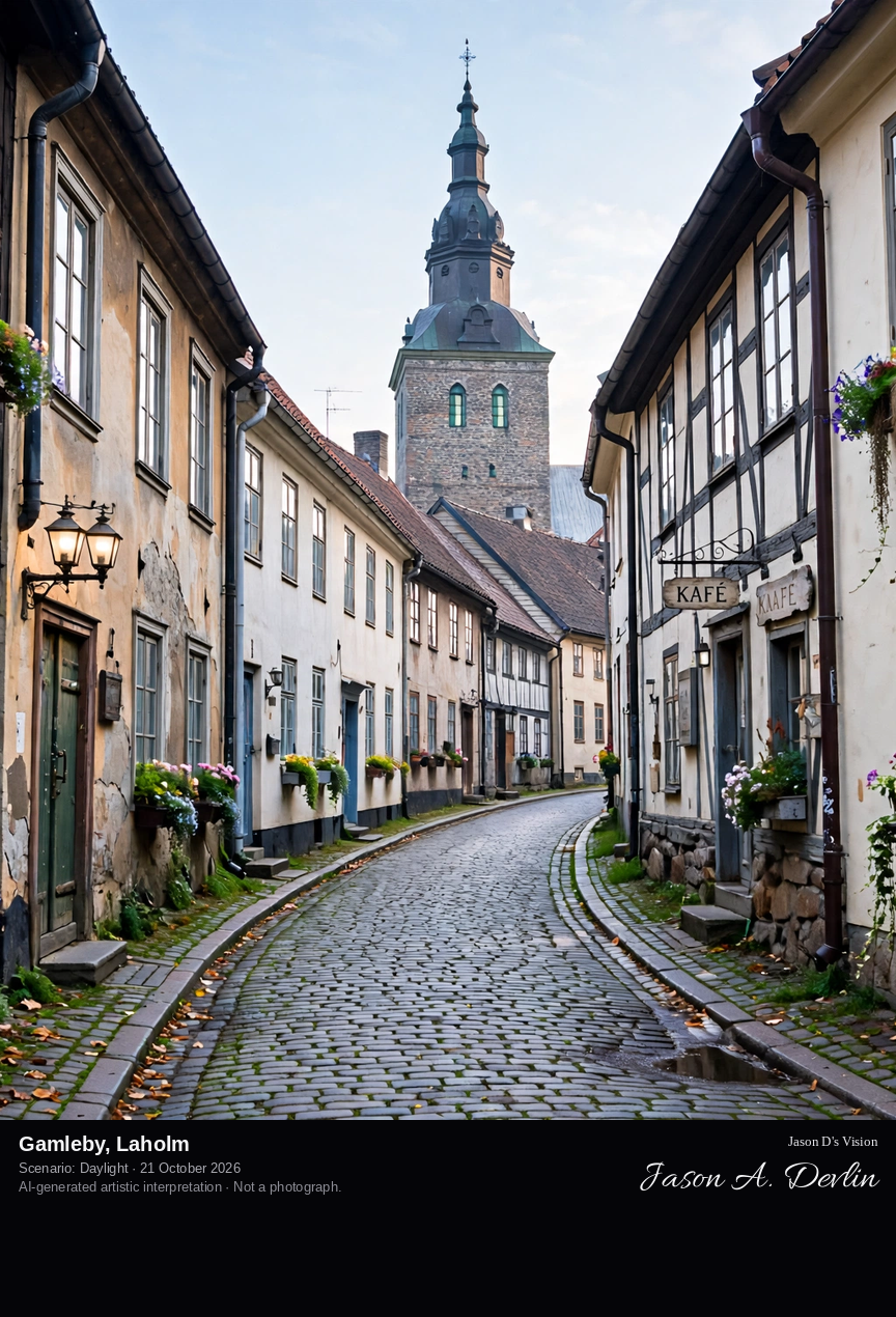
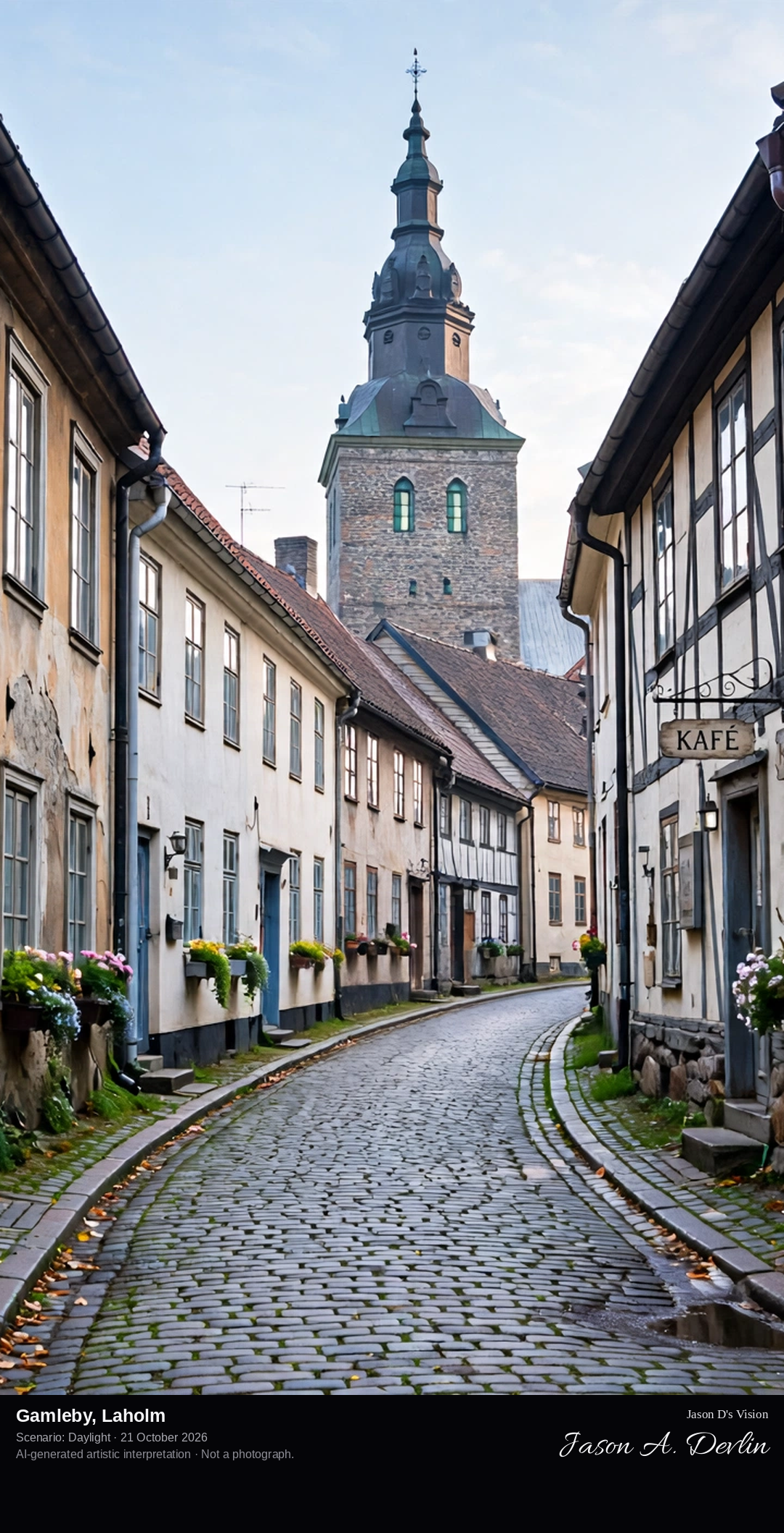
Down a winding cobbled alley in Gamleby, Laholm's old town: half-timbered and plastered town houses close on both sides, with the tower of Sankt Clemens church rising behind the rooftops.
Gamleby is the oldest quarter of Laholm, Halland's oldest town, which received its first charter in the 13th century when the area was Danish. Its winding alleys preserve the medieval street structure, lined with half-timbered and plastered town houses. Above the rooftops rises Sankt Clemens church, documented from 1225: its tower survives from the 1400s, while the church itself was rebuilt in 1808–20 after a fire. Nearby, Stortorget is dominated by the town hall from the 1700s, and sculptures stand on almost every corner of the little town.
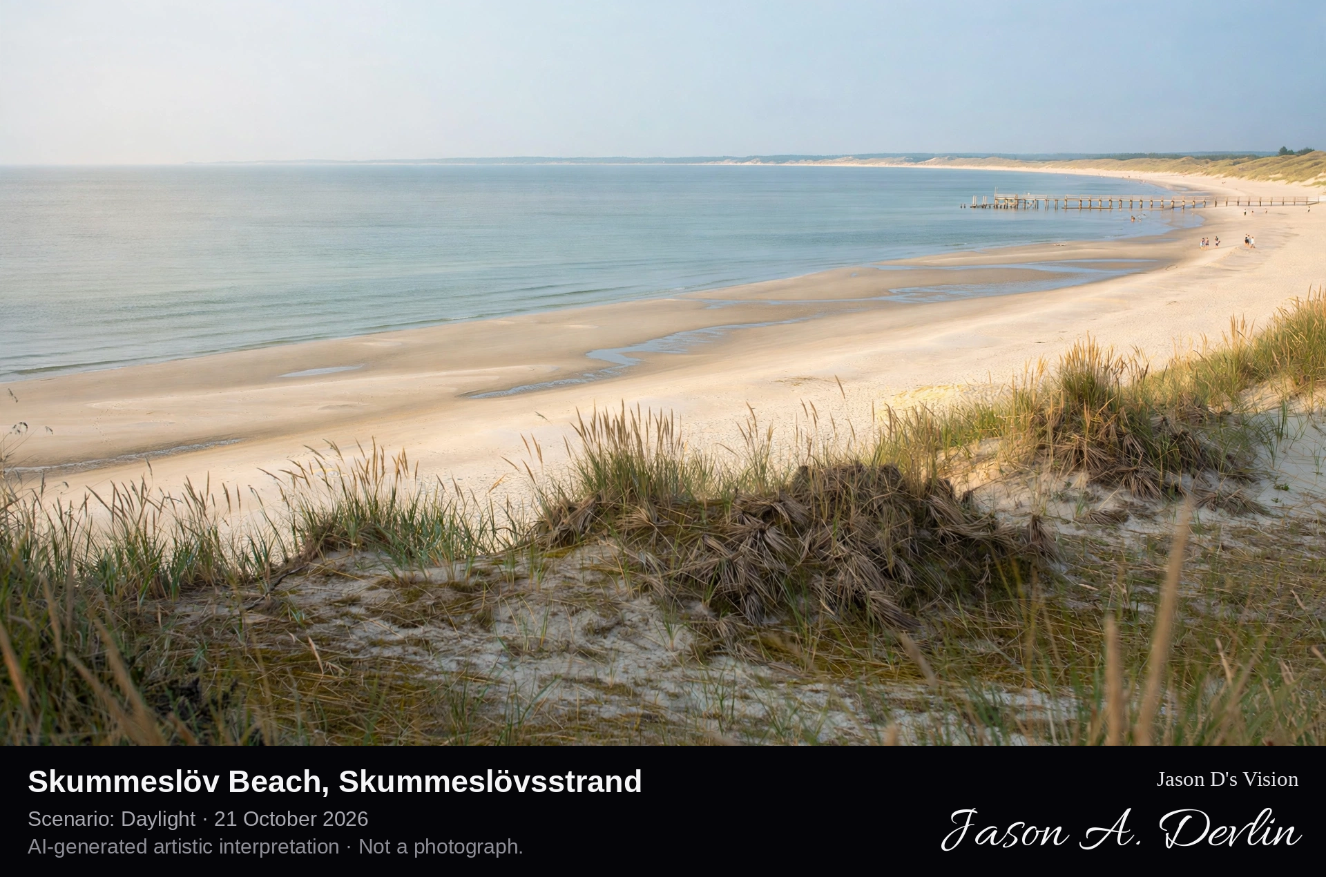
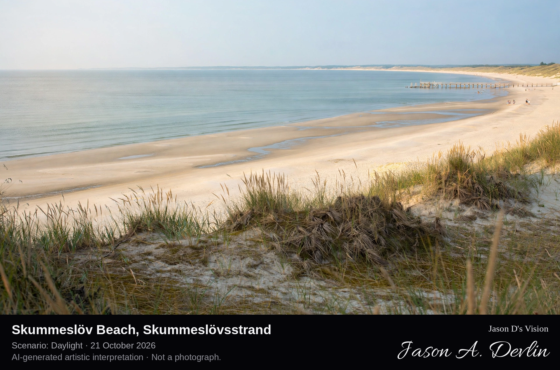
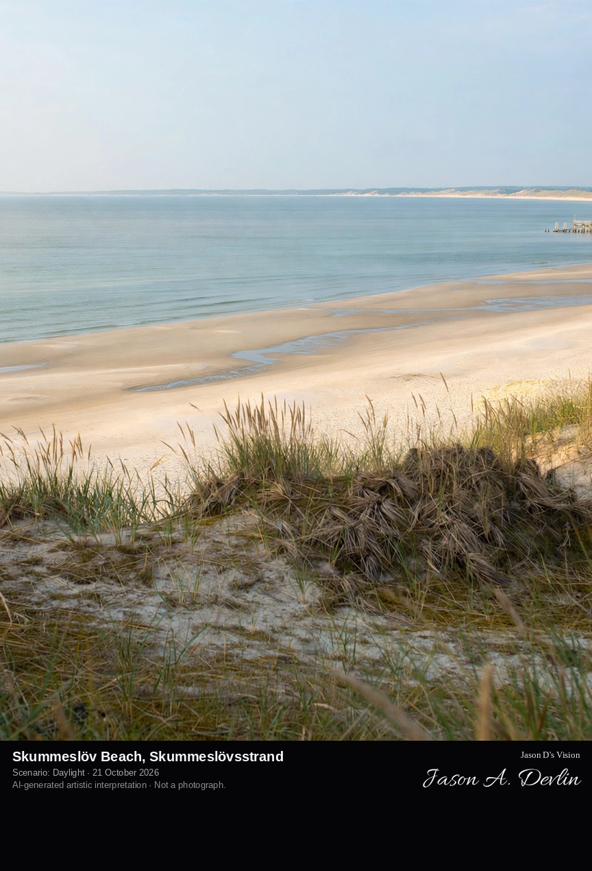
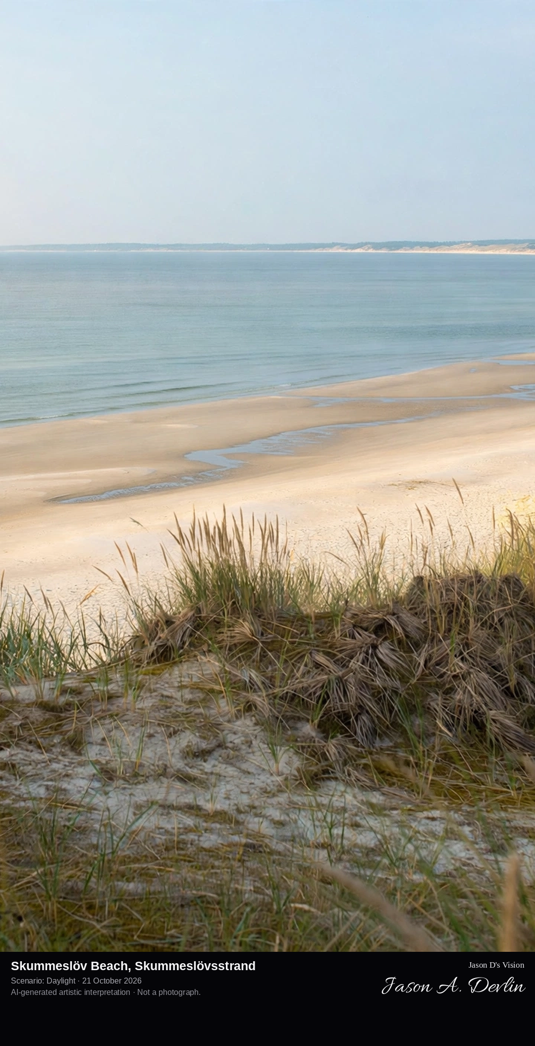
From the grass-topped dunes at Skummeslövsstrand, looking along the wide pale sweep of Sweden's longest sandy beach, the shallow Laholm Bay water curving away in both directions.
At Skummeslövsstrand in Laholm municipality begins Sweden's longest sandy beach: twelve kilometres of wide, soft sand along the gently curved Laholm Bay, running from the Båstad side toward Halmstad. The water is shallow far out, making the bay a classic family bathing coast. Behind the beach, mighty grass-topped dunes separate the sand from the coastal settlements, and at Södra Skummeslöv a nature reserve of open dunes and twisted pine forest protects rare insects and plants of the open sand.
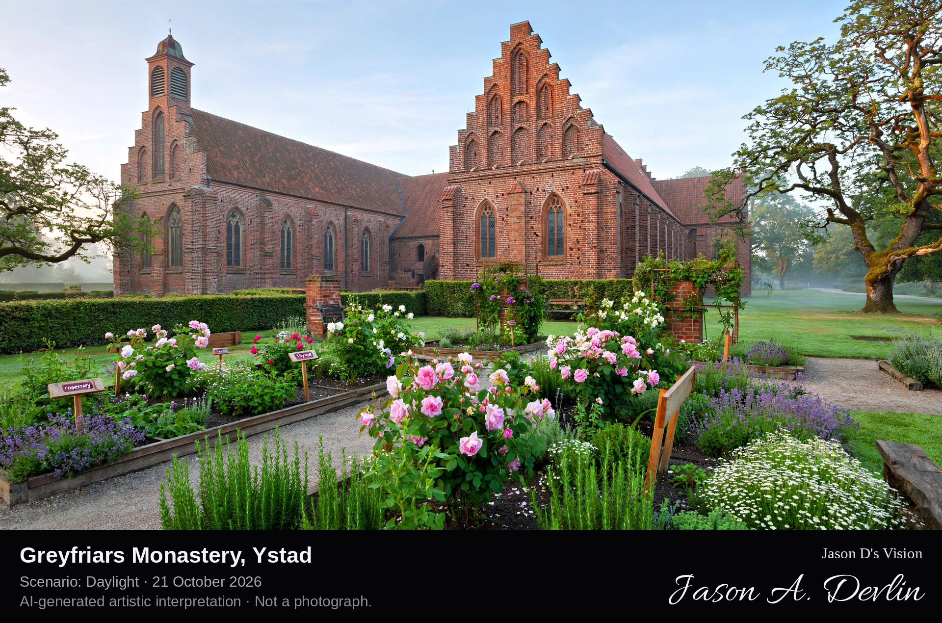
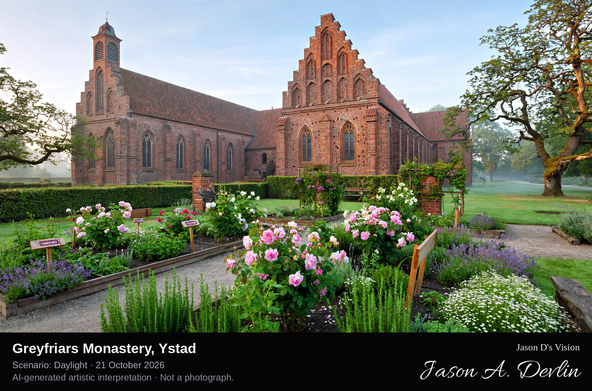
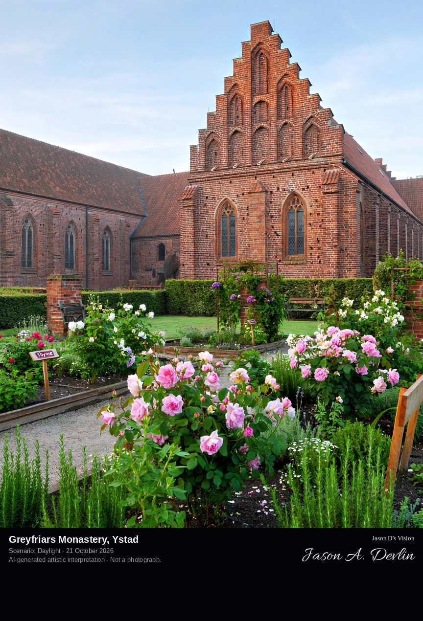
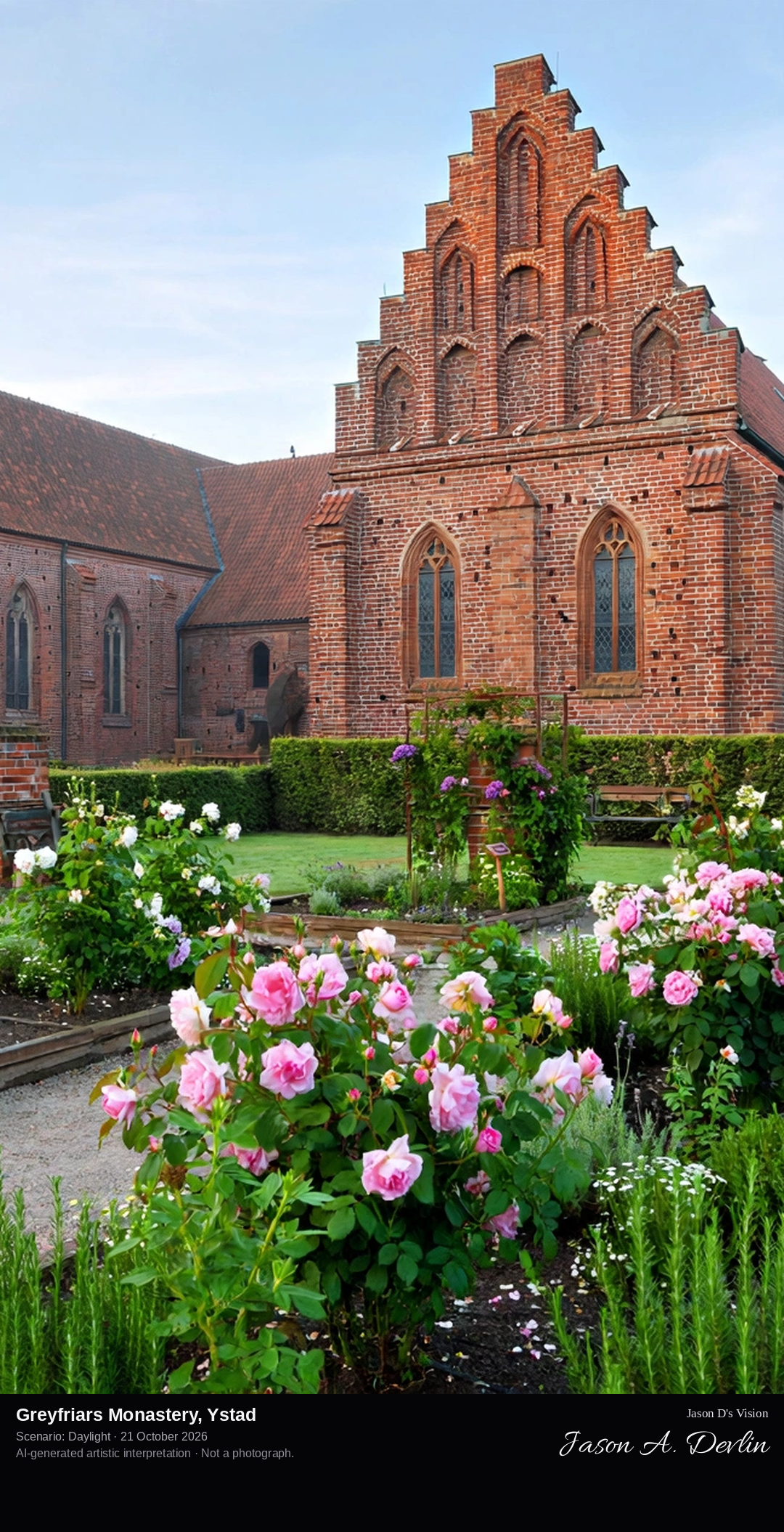
From the monastery garden: the red-brick Brick Gothic complex of St Peter's church and the preserved monastery wing with its crow-stepped gables, rose and herb gardens in the foreground.
The Greyfriars Monastery in Ystad, Klostret i Ystad, was founded in 1267 by a donation of the knight Holmger and his wife Katarina, for the Franciscan friars known as the grey friars. Together with Vadstena Abbey it is one of the best-preserved medieval monasteries in Sweden. The complex is built almost entirely of red brick in Brick Gothic style: St Peter's church with its bell tower, a two-storey gatehouse, and the one surviving monastery wing with richly decorated crow-stepped gables. The friars were expelled in 1532 during the Reformation; today the buildings house Ystad's museum of cultural history, ringed by a rose garden and a herb garden.
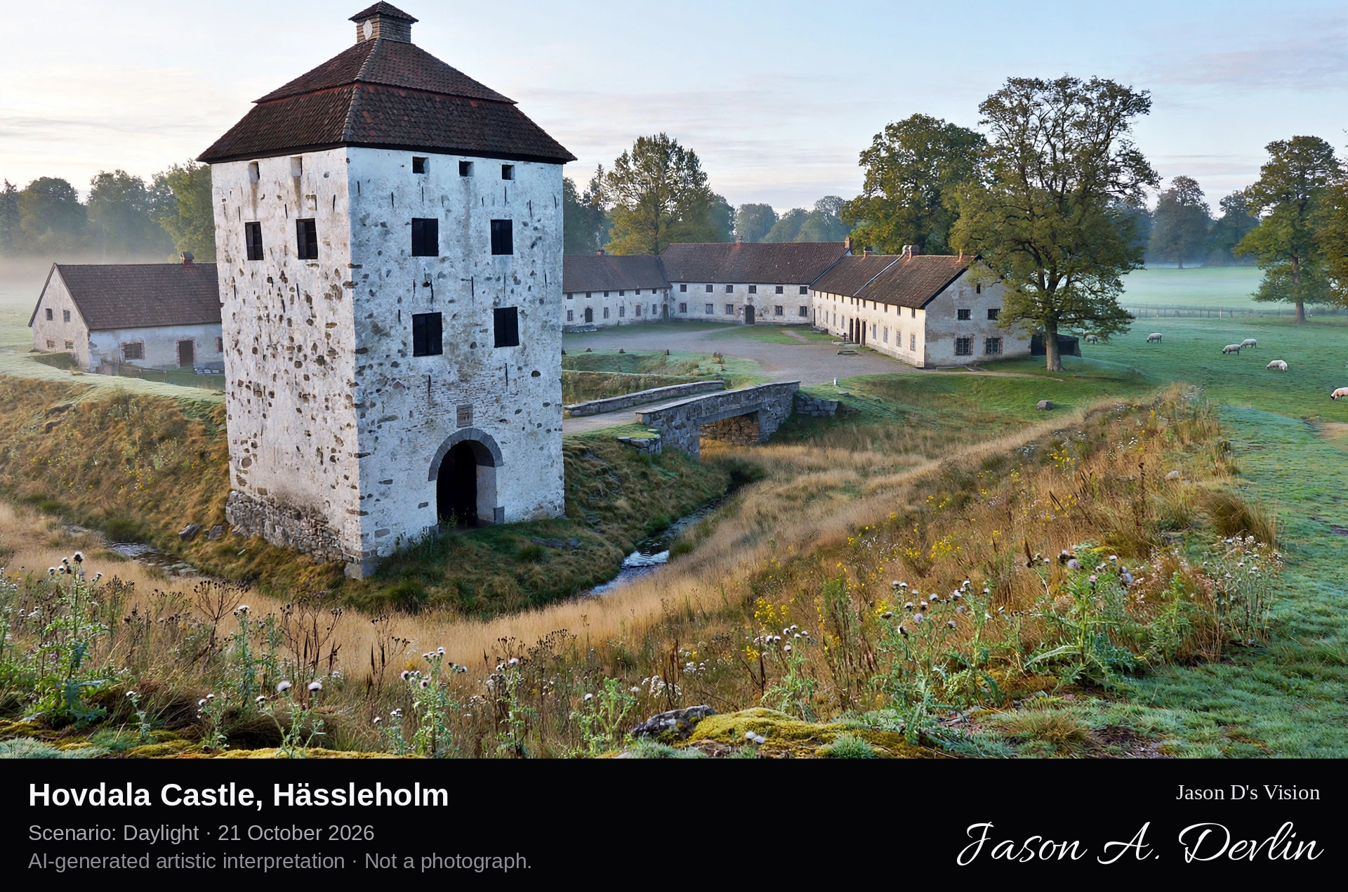
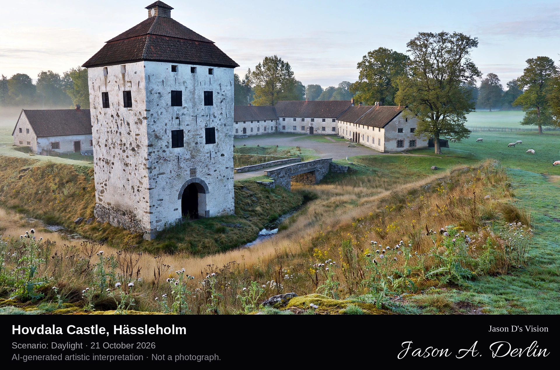
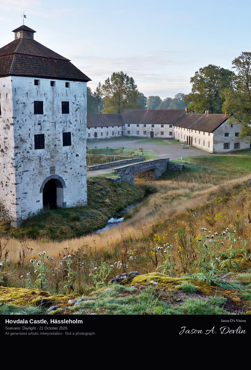
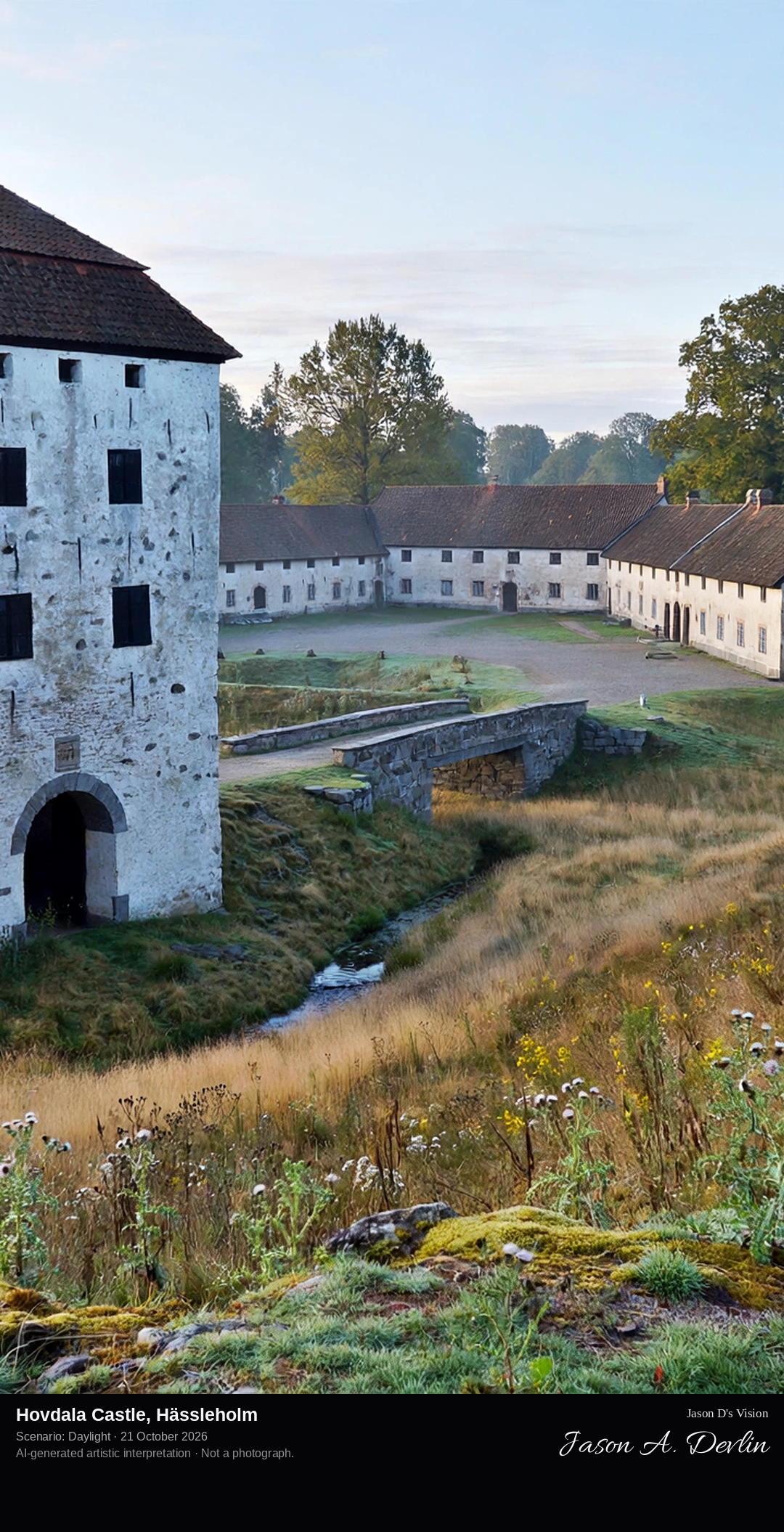
From the castle approach across the former moat ground toward the U-shaped group of pale stone buildings around their courtyard, with the tall four-storey gate tower of 1600 standing apart to the south.
Hovdala Castle, south of Hässleholm near Lake Finjasjön, is a fortified manor of three buildings set in a U-shape around a courtyard: the north building dates from the early sixteenth century, possibly 1511 as stated on its facade, the east living quarters from 1681-82, and the south building from 1805. Across the former moat, now a dry dip in the ground, stands the separate defensive gate tower erected in 1600, which withstood the castle's sieges; a stone plaque dated 1633 commemorates the siege of 1612. The castle was the home of the Ehrenborg family for nine generations, and its restoration received a Europa Nostra award in 2004.
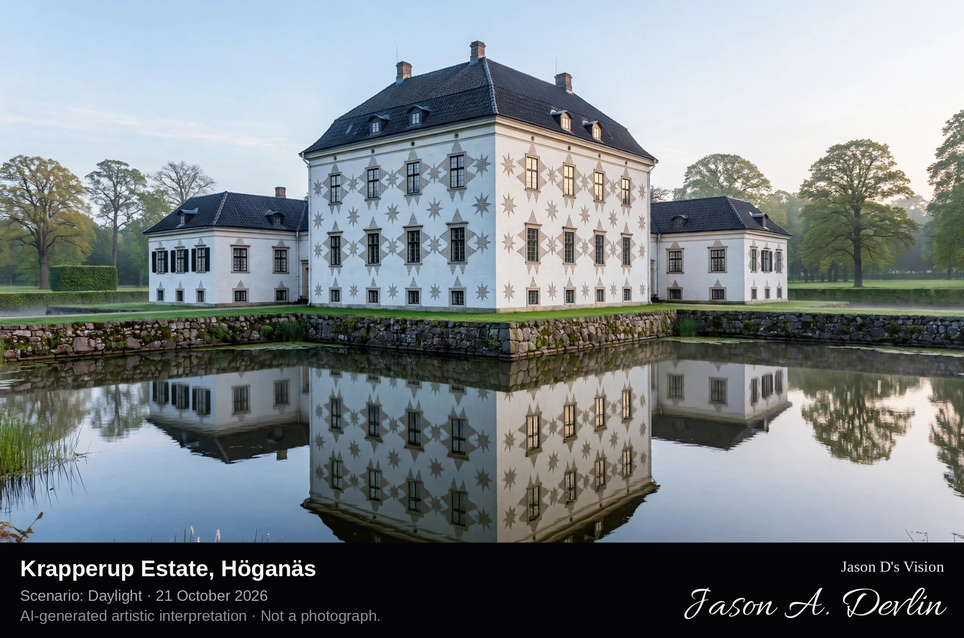
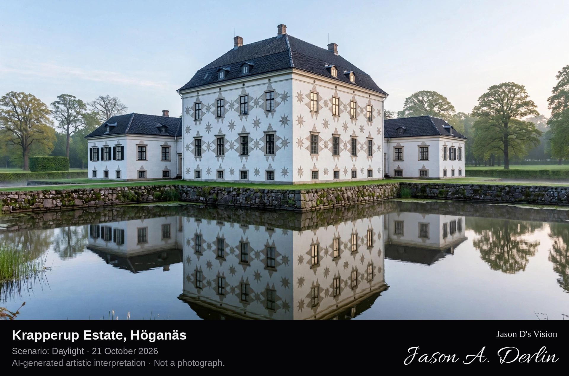
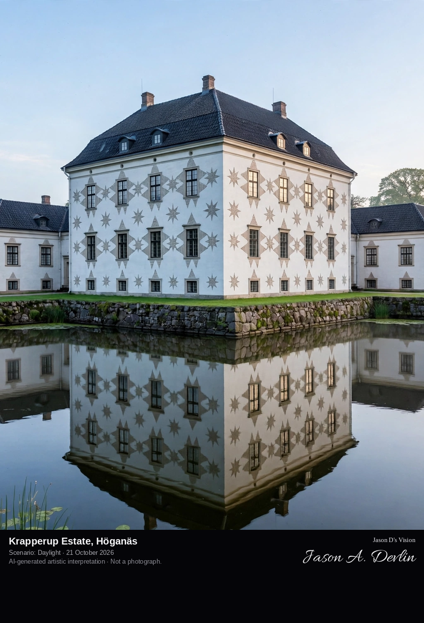
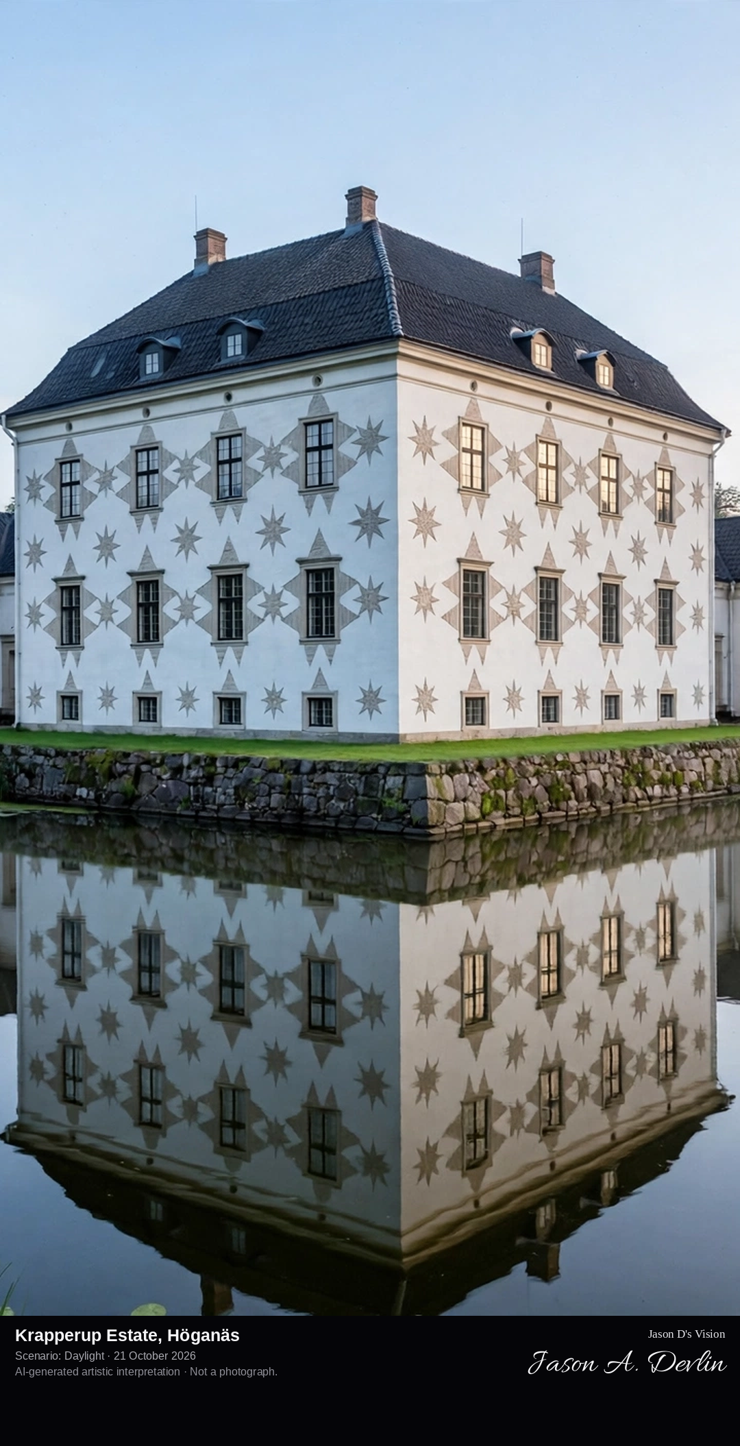
Across the moat to the white rectangular main house of Krapperup, its west facade carrying the seven-pointed stars of the Gyldenstierne arms, low wings to the sides and the park trees behind.
Krapperup, on the Kullen peninsula near Höganäs, is one of Sweden's oldest estates, known from medieval times. The present main house was built in 1570 by Mourids Clausen Podebusk, a large rectangular house later reshaped in Baroque and Rococo taste, and in the early 1600s the seven-pointed stars of the Gyldenstierne coat of arms were set into its facades, where they remain the estate's emblem. A moat surrounds the castle, and around it spreads a romantic nineteenth-century park of about 80 acres with winding paths, ponds, rhododendrons and a rose garden. Since 1967 the estate has been held by the Gyllenstierna Krapperup Foundation; the gardens are open all year, the house by pre-booked visit.
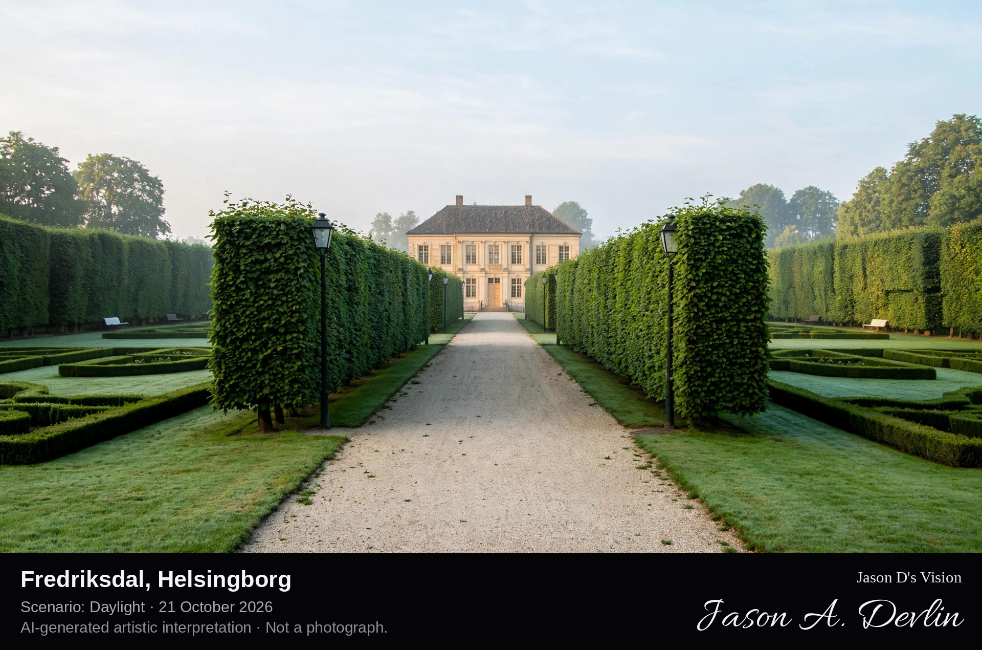
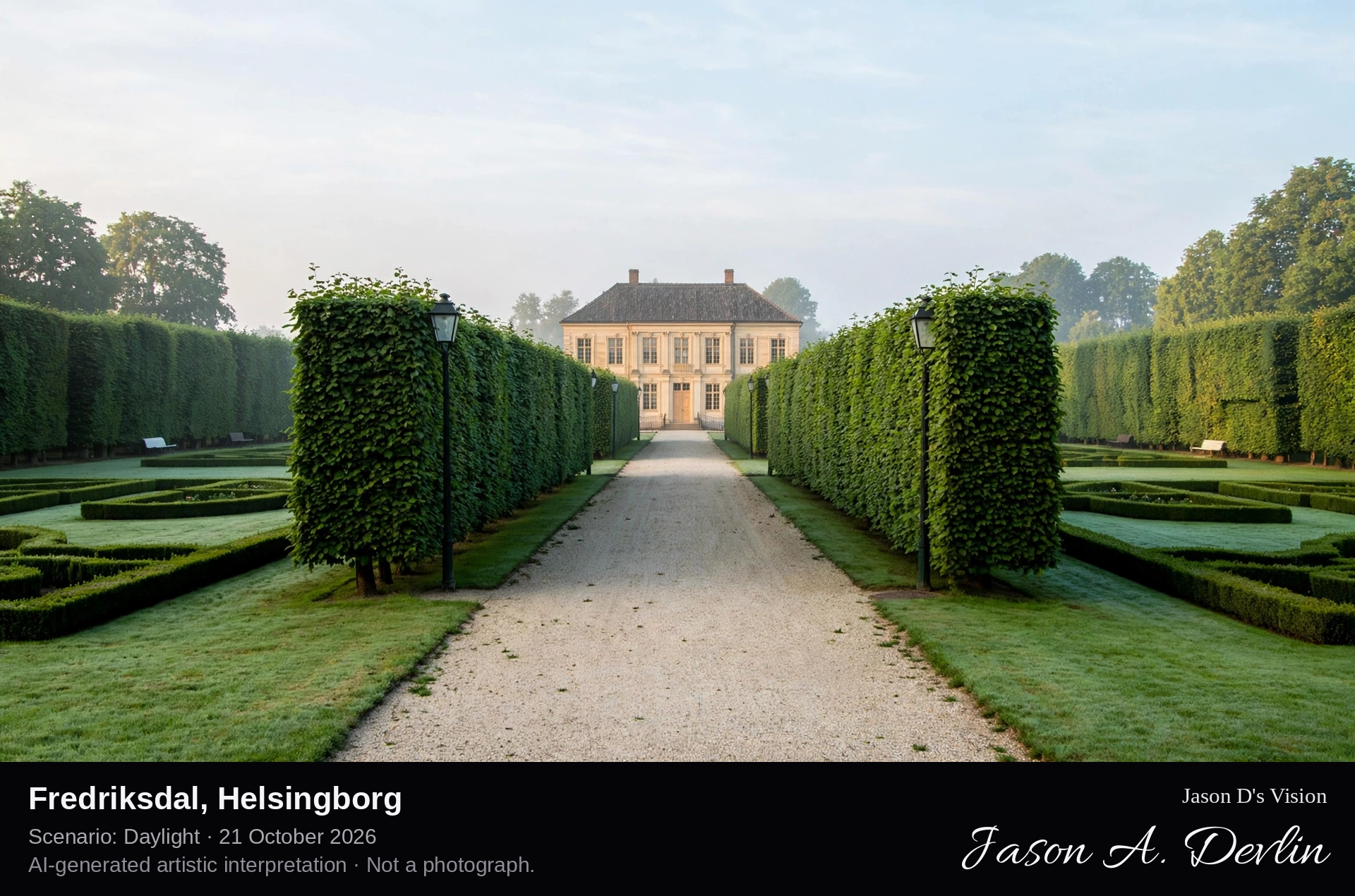
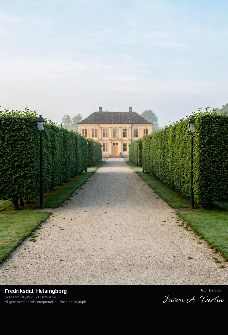
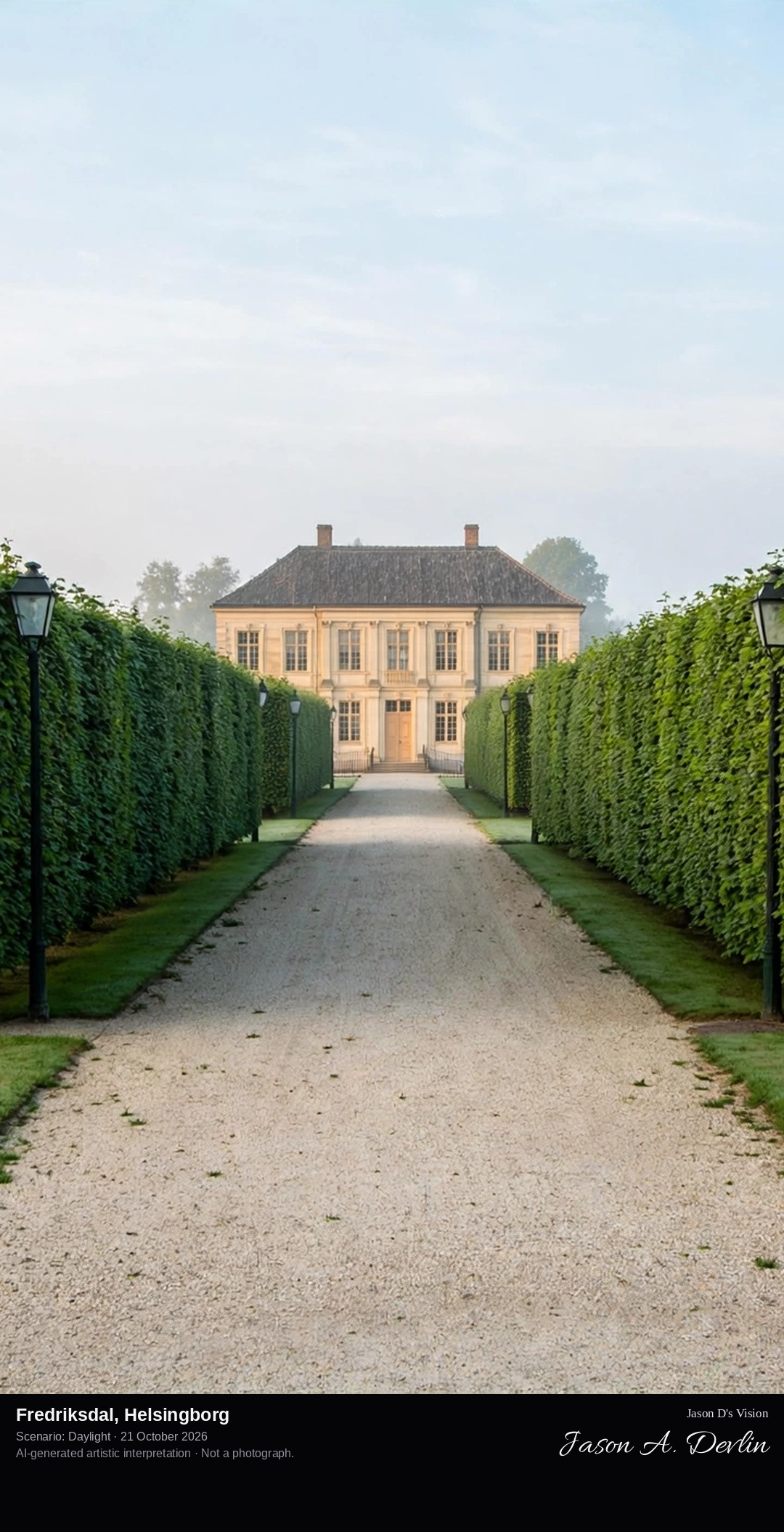
Down the French park's central axis and across its parterre lawn to the pale eighteenth-century manor house of Fredriksdal, framed by clipped hornbeam avenues.
Fredriksdal in Helsingborg is a 36-hectare open-air museum built around the manor-like main house of the Fredriksdal estate, laid out in 1787 by Fredrik Wilhelm Cöster as a summer residence. The estate was donated to the city of Helsingborg in 1918 by Gisela Trapp, widow of Consul Oscar Trapp, and the museum opened to the public in 1923. Before the manor runs the French park, with its central axis, parterre lawn and hornbeam avenues; around it lie an English park, a rose garden, a botanical garden of Skåne's native plants, historic farms and an old town quarter moved here from central Helsingborg.
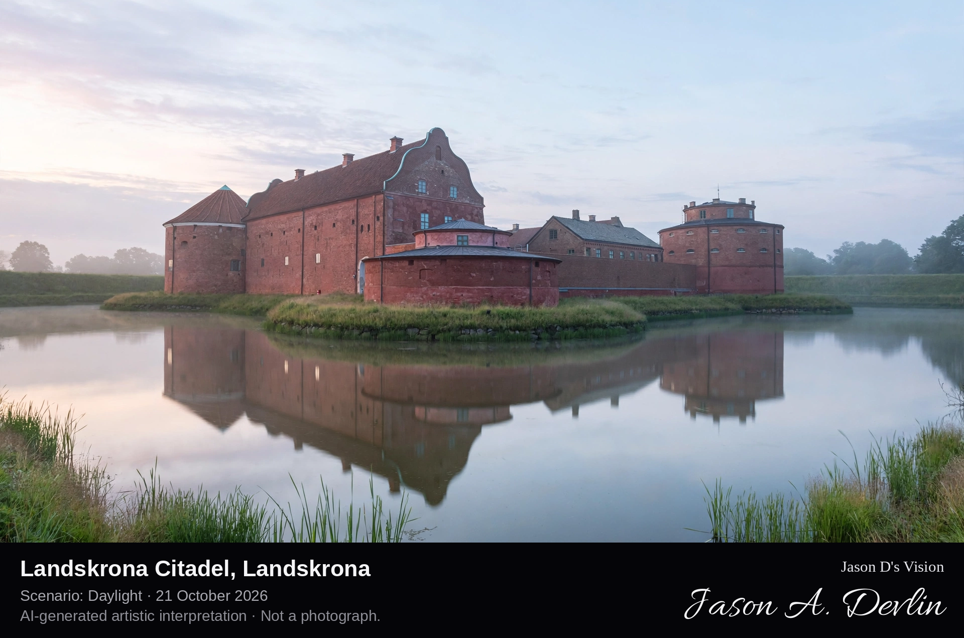
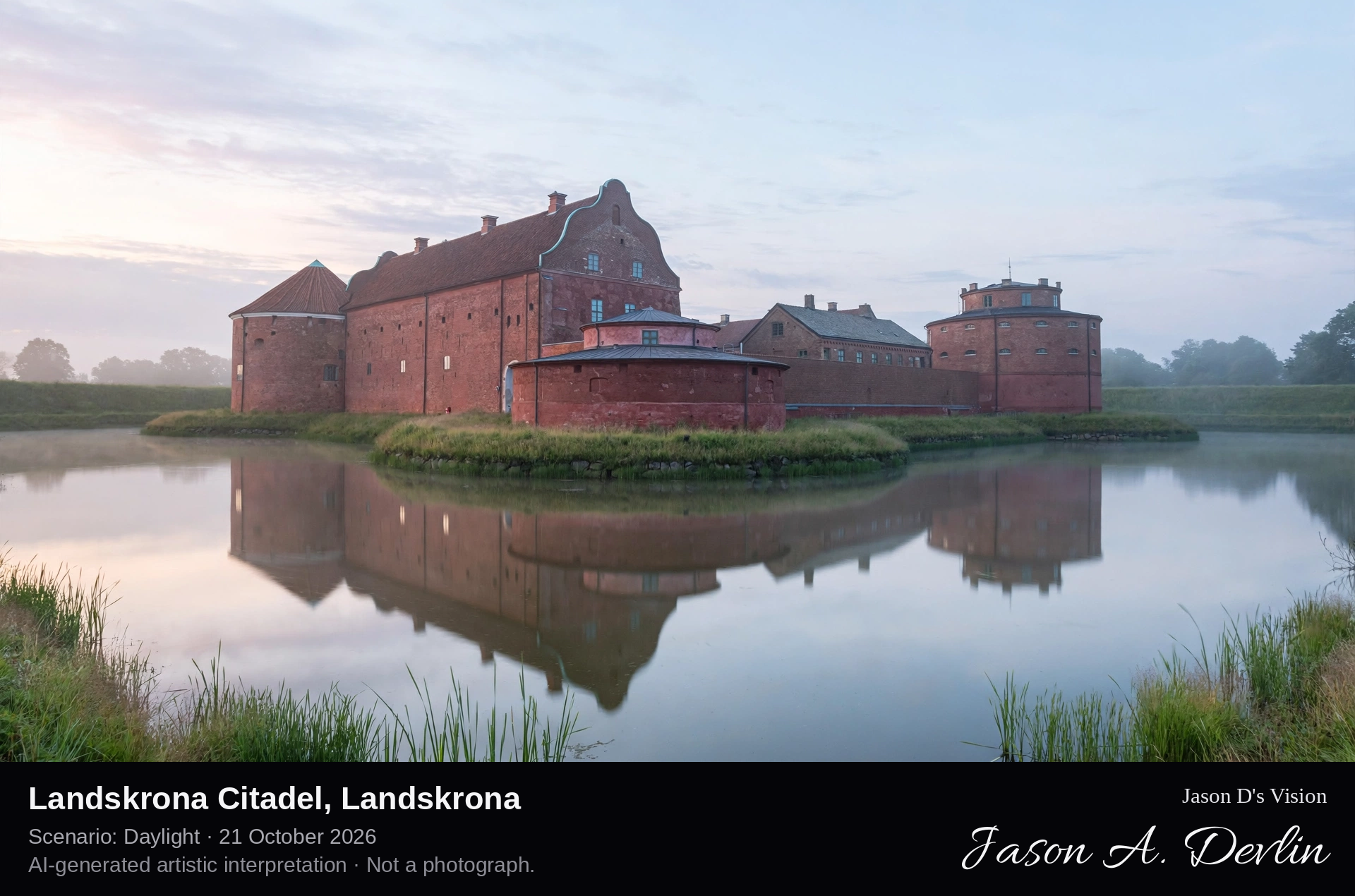
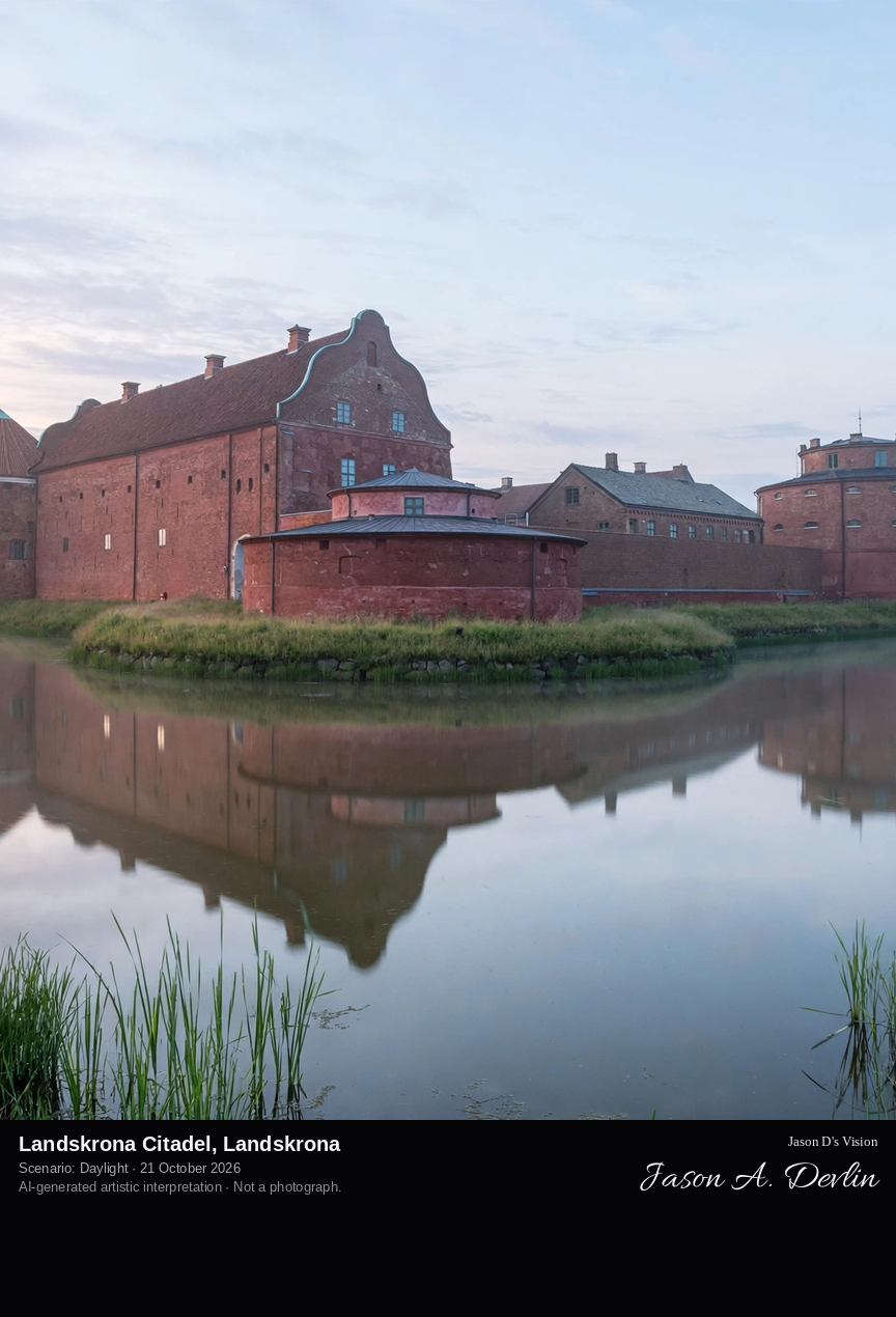
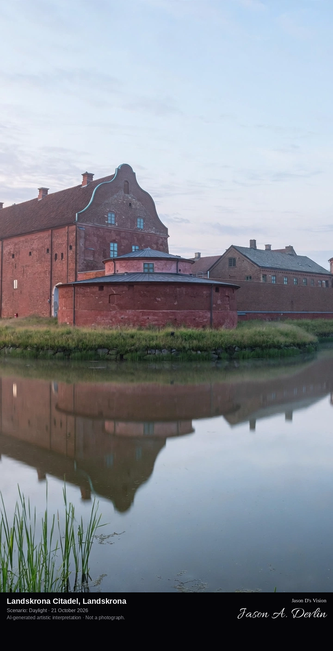
From across the wide inner moat to the red-stone citadel castle: four round corner towers around its square courtyard, the moat water calm in front and grassy bastions beyond.
Landskrona Citadel is a different fortress from the island citadels of the Blekinge coast: a moated castle in Landskrona itself, built for Christian III of Denmark between 1549 and 1559 as a purely defensive fortification. At its centre stands the castle, four round corner towers around a square courtyard, ringed by an inner moat some 70 metres wide, with further outer moats and bastions added in the seventeenth century; the whole moat system is among the largest and best preserved in Europe. The citadel passed to Sweden with the Treaty of Roskilde in 1658, and between the outer moats lies Sweden's oldest area of allotment-garden cottages.
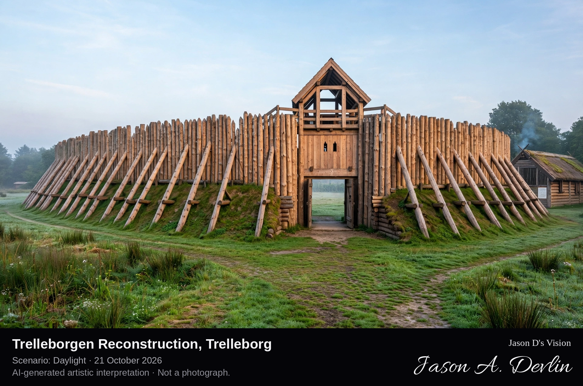
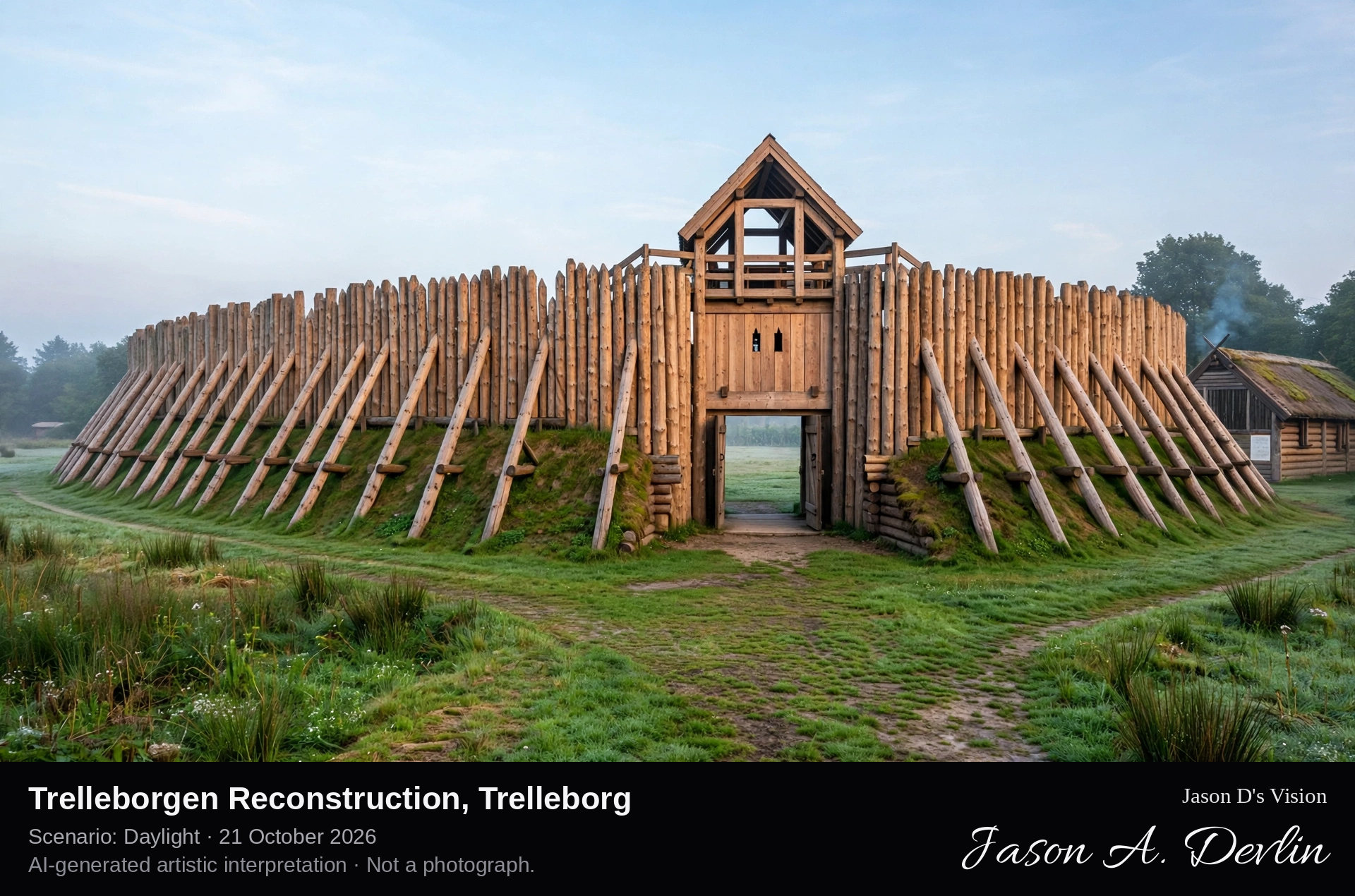
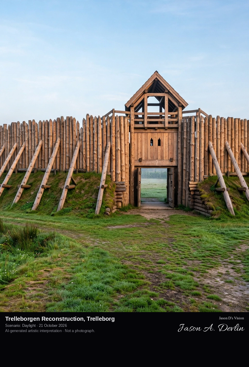
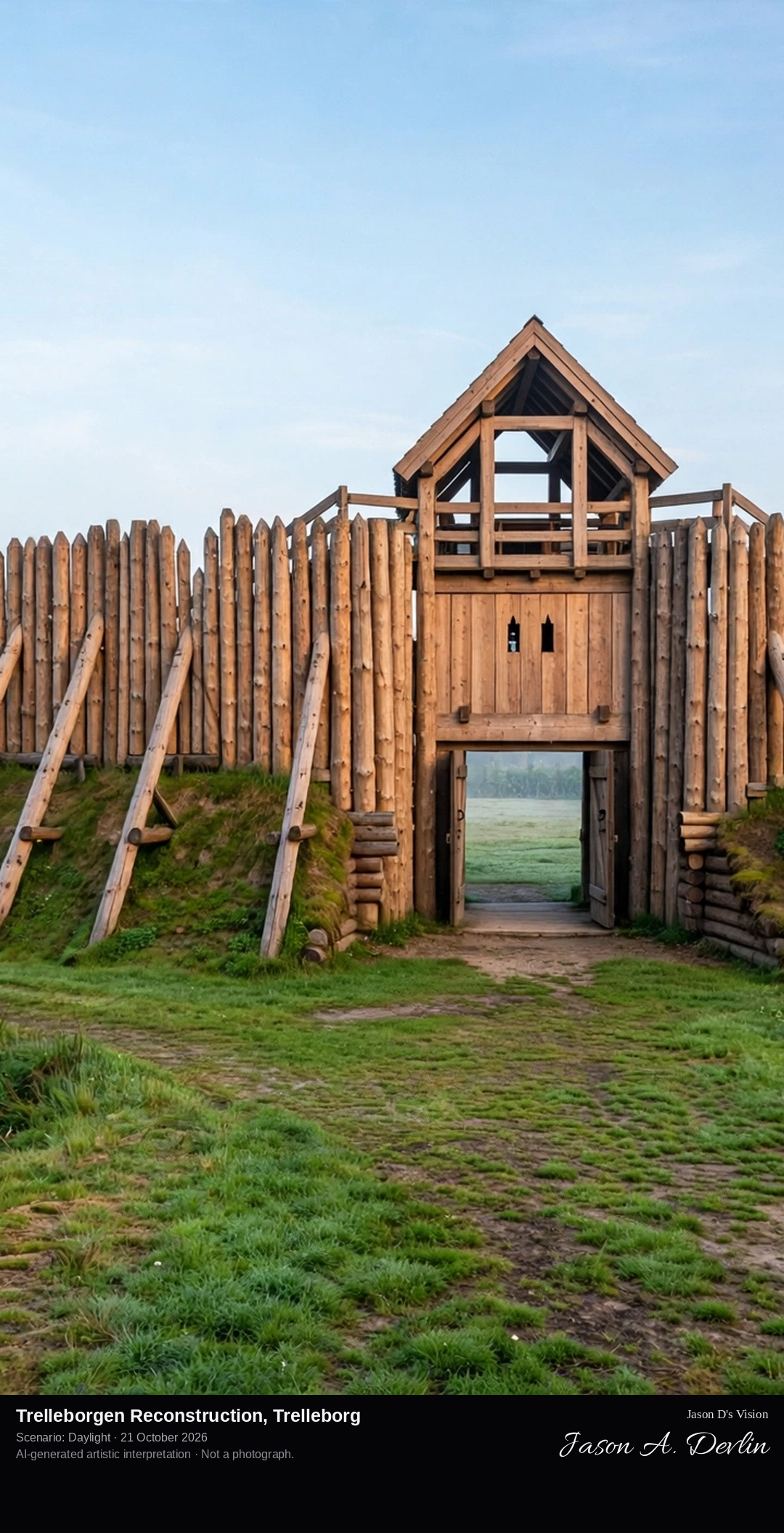
At ground level before the reconstructed gateway: the towering timber palisade of Trelleborgen's reconstructed quarter, its sloping trelle supports and wooden gate, the turf rampart curving away on both sides.
Trelleborgen in Trelleborg is a reconstruction, and is presented as one: a quarter of a Viking Age ring fortress has been rebuilt on its original site. The fortress itself was discovered in the late 1980s, a circular fort about 140 metres in diameter dated to around AD 980, in the reign of Harald Bluetooth, of the same type as the Danish trelleborgs. The reconstruction, inaugurated in 1995, rebuilds the wooden palisade with its sloping trelle supports, crenellations and gateway from the archaeological evidence, and stands as an outdoor museum with a reconstructed Viking farm beside it.
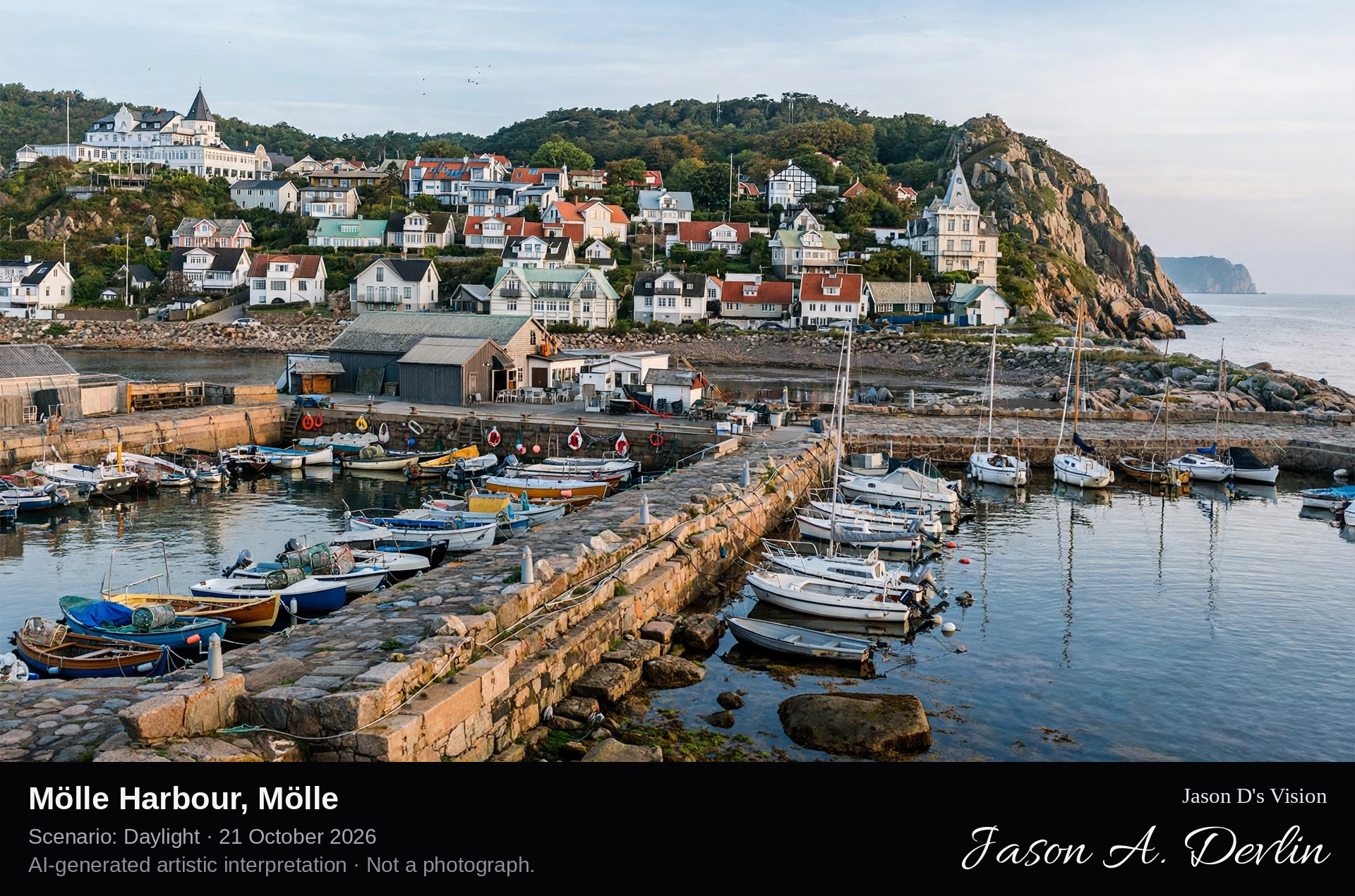
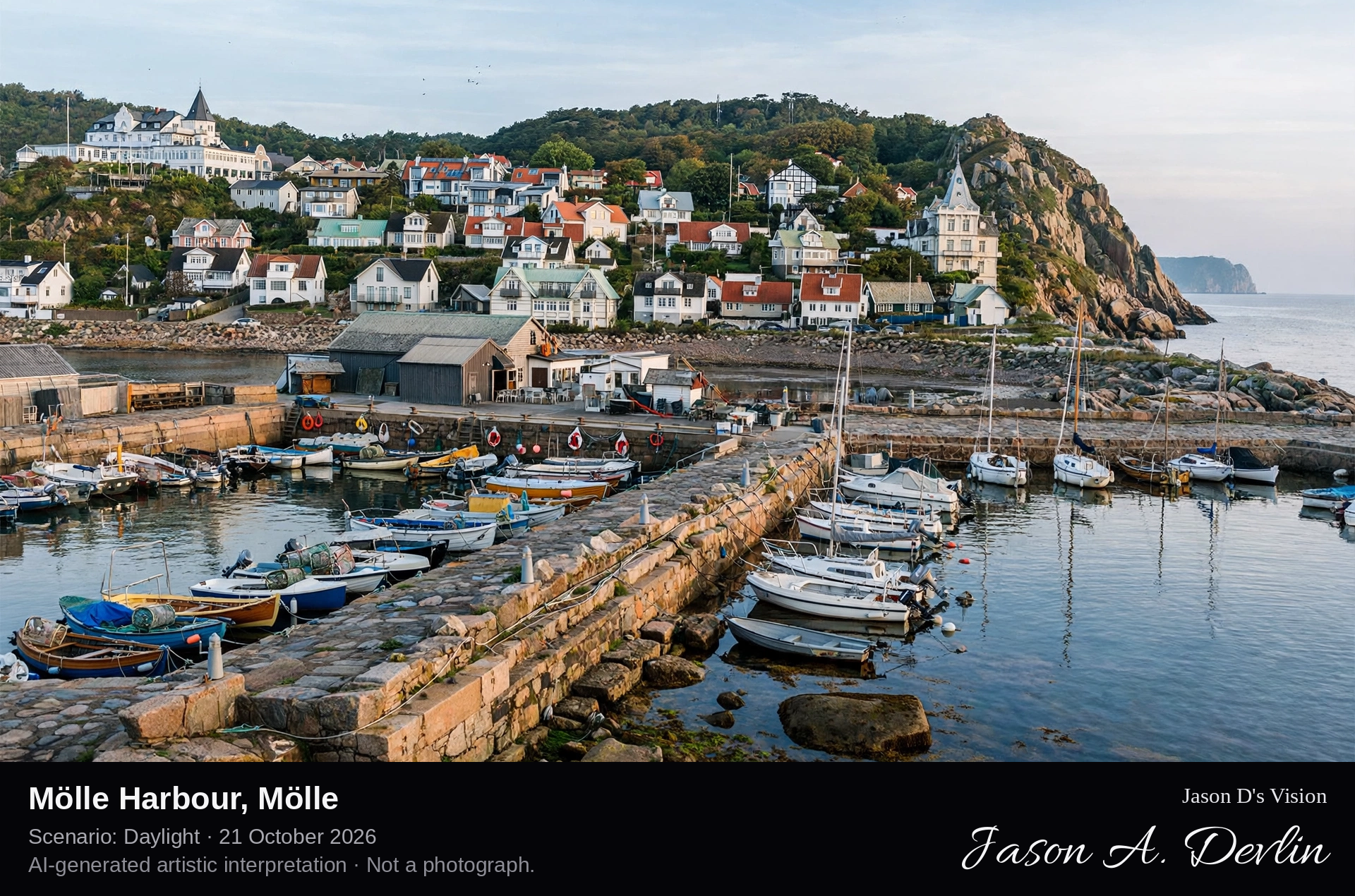
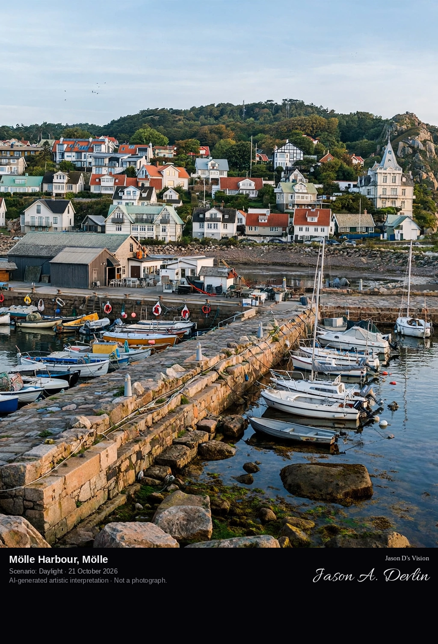
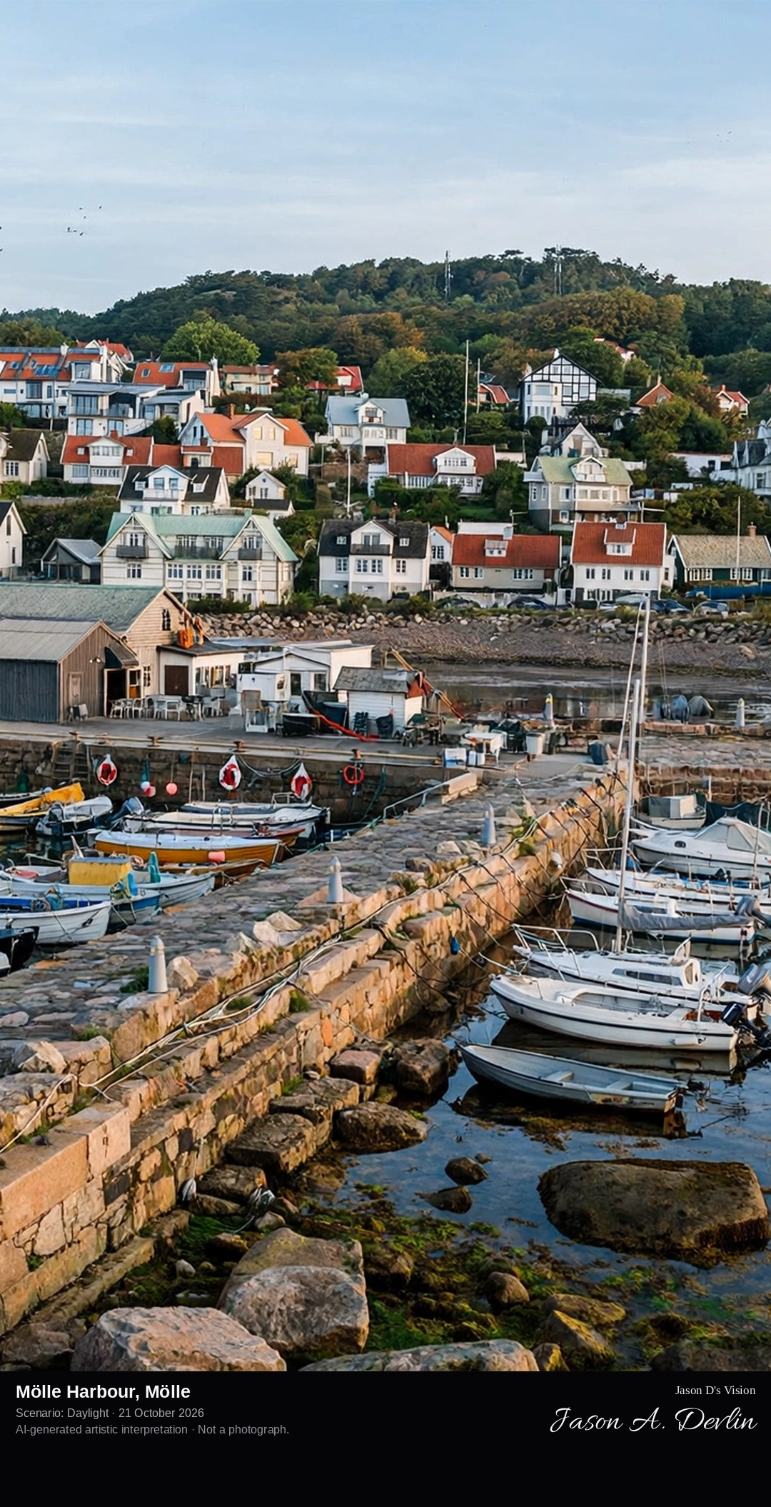
Harbour-facing village panorama from the rock jetty: the two harbour basins full of small boats in the foreground, with Mölle's fishermen's houses and grand old hotels climbing the steep hillside of Kullaberg behind.
Mölle Harbour is the economic and social centre of Mölle, a fishing village turned seaside resort on the Kattegat at the foot of Kullaberg in north-west Skåne. The harbour, completed in 1881 with two basins enclosed by a rock jetty around a natural bay, holds slips for about 130 small and medium-sized boats. Above the quays the village climbs the hillside, its 19th-century hotels and villas recalling the era when Mölle was a fashionable resort reached even by a weekly train from Berlin. The rocky Kullaberg headland rises directly to the north.
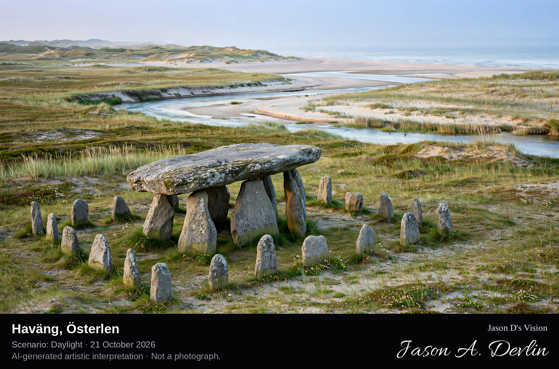
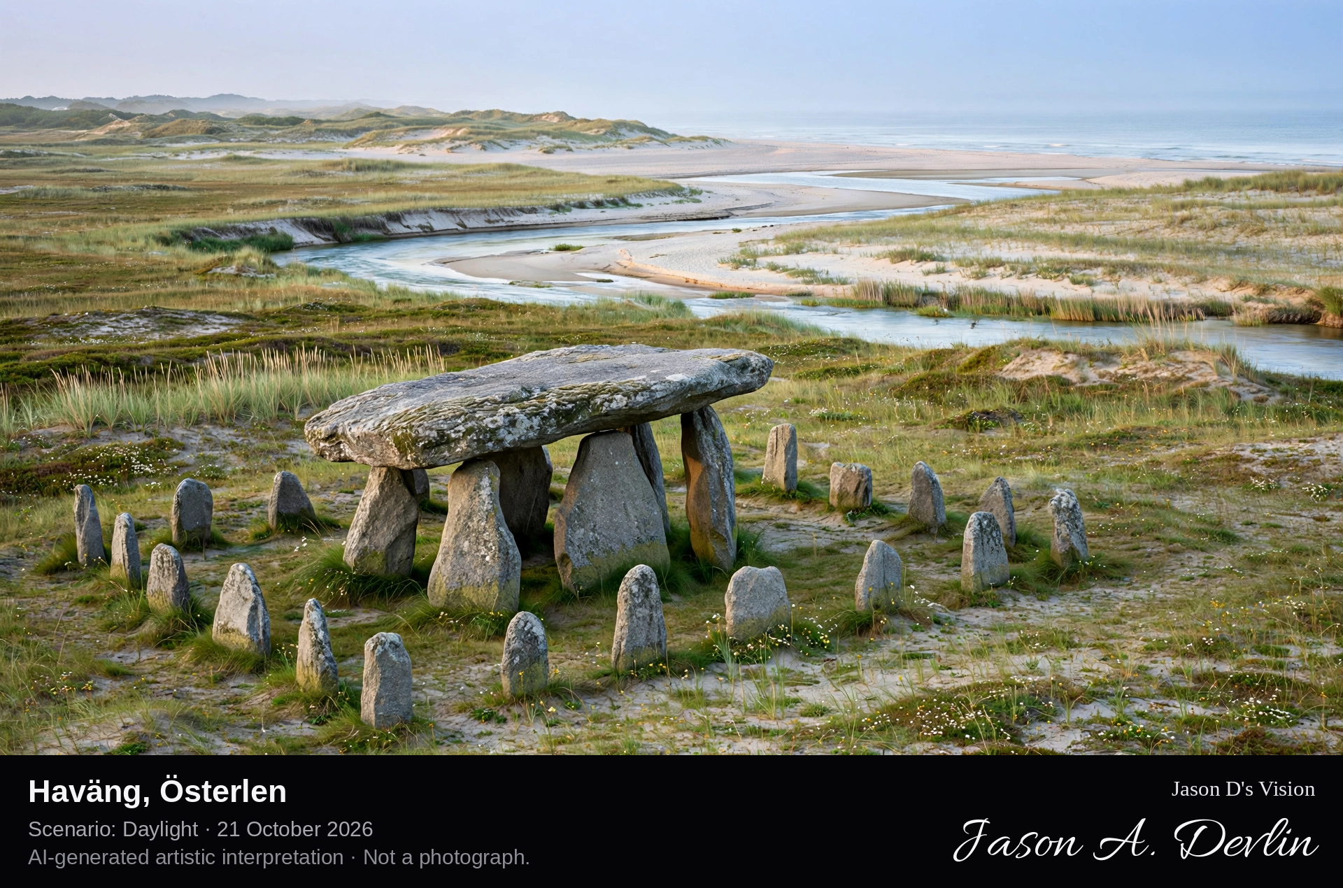
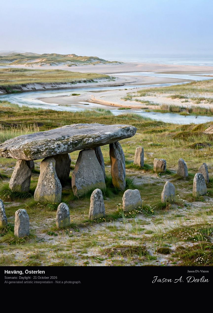
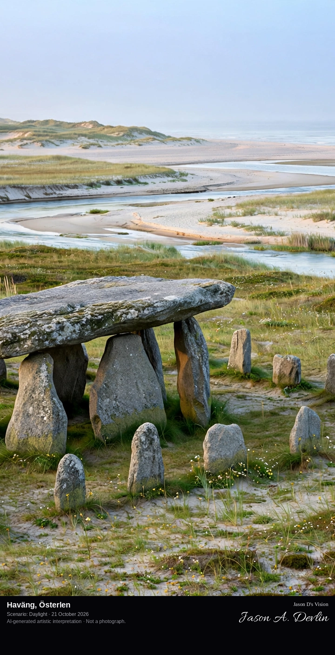
From the coastal path above the shore at Haväng: the Havängsdösen dolmen in its rectangular stone setting in the foreground, the Verkeån flowing out across the wide sandy beach to the Baltic beyond.
Haväng is a coastal meadow and sand-steppe landscape on the Österlen coast of eastern Skåne, in the Haväng and Vitemölla beach-slopes nature reserve between Kivik and Brösarp, where the river Verkeån reaches the Baltic. Just above the shore stands Havängsdösen, a Neolithic dolmen about 5,500 years old: five supporting stones carrying a single great capstone, framed by a rectangular setting of sixteen standing stones, its opening facing the sea and the sunrise. Long hidden under blown sand, the tomb was uncovered by a storm in 1843. The Skåneleden trail passes through the reserve.
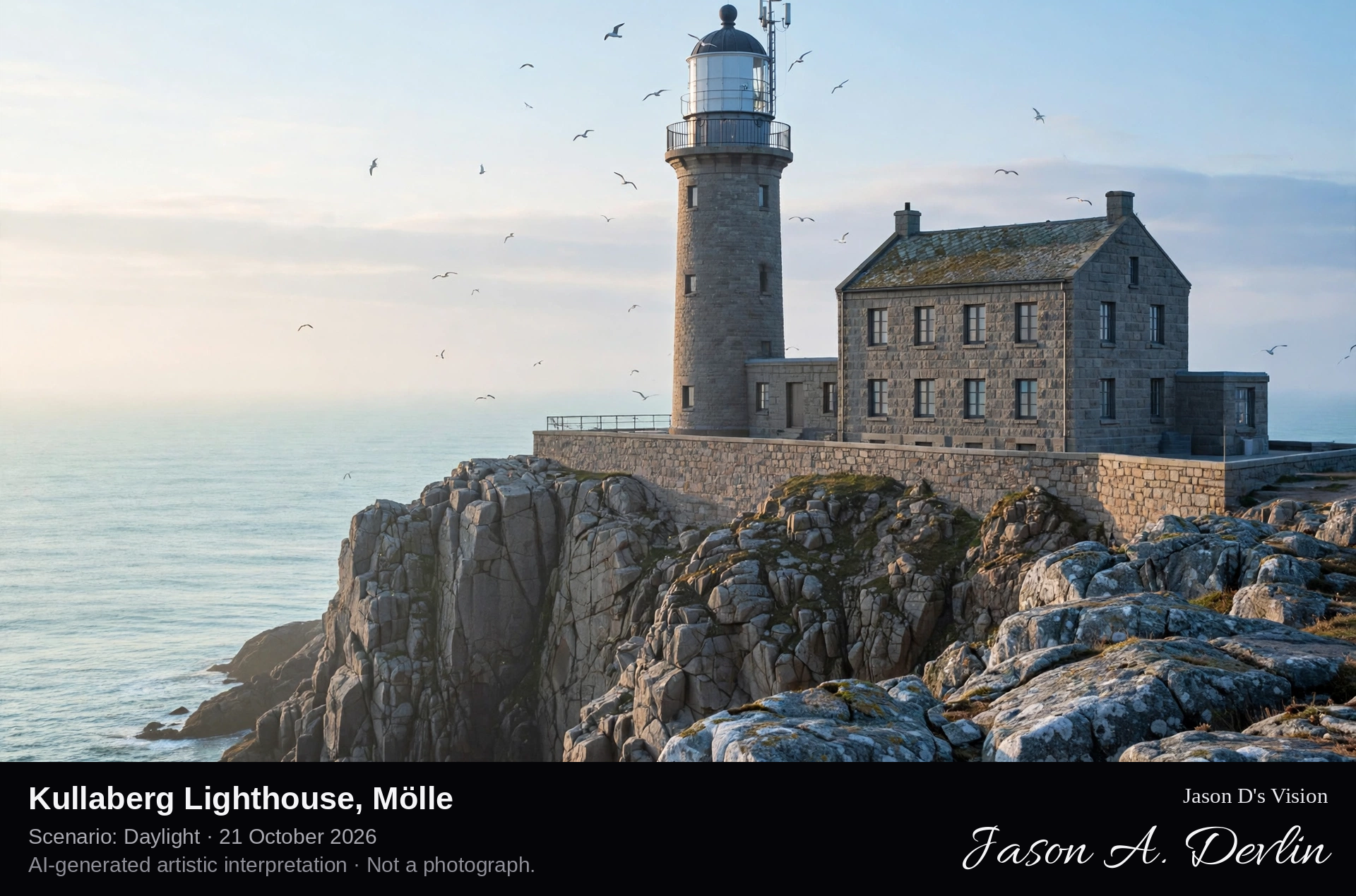
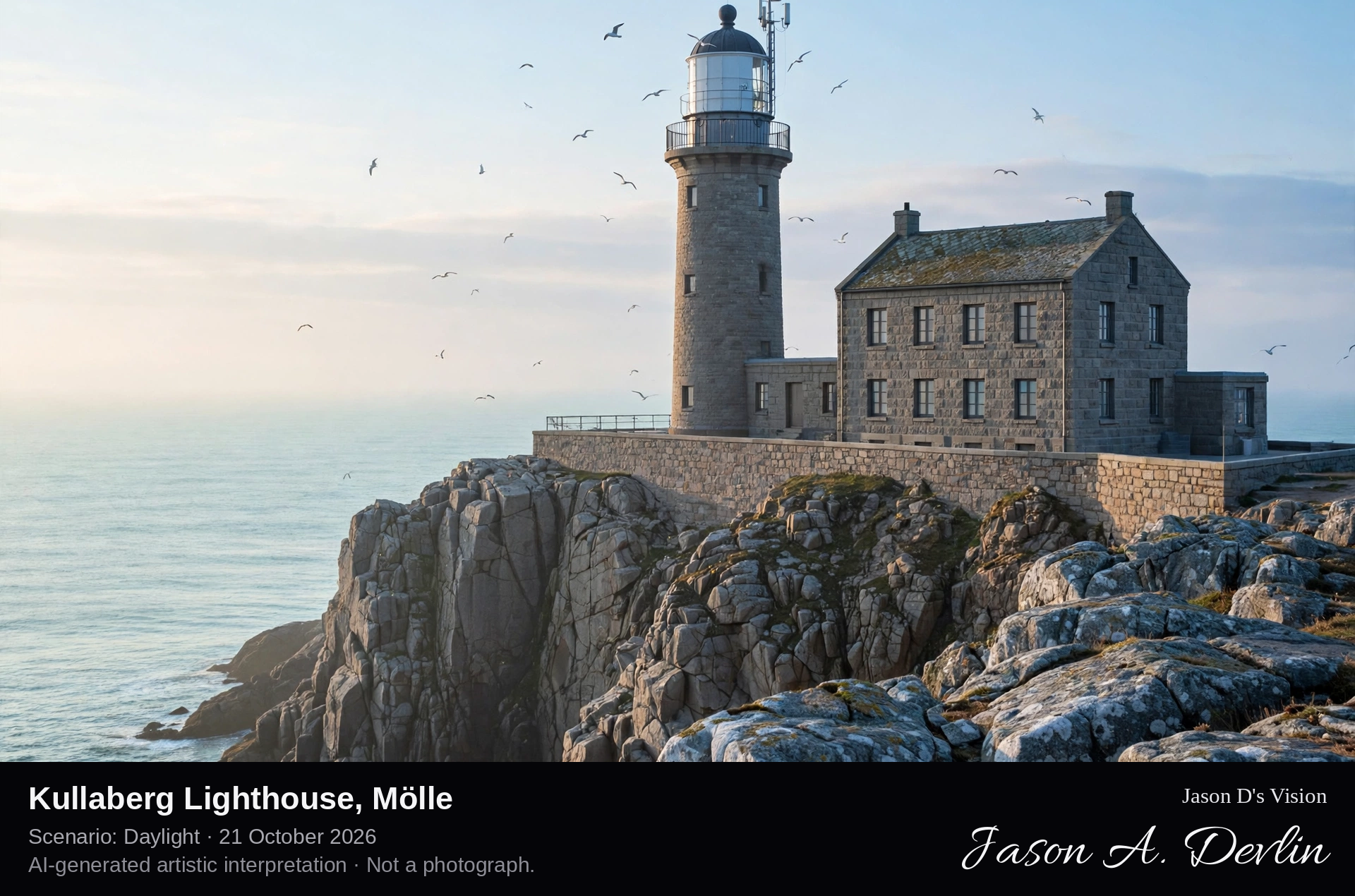
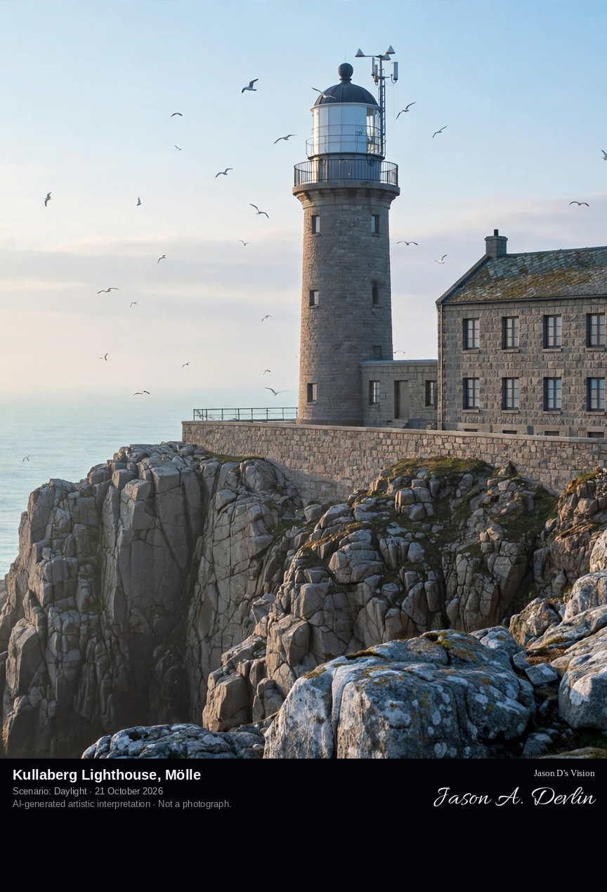
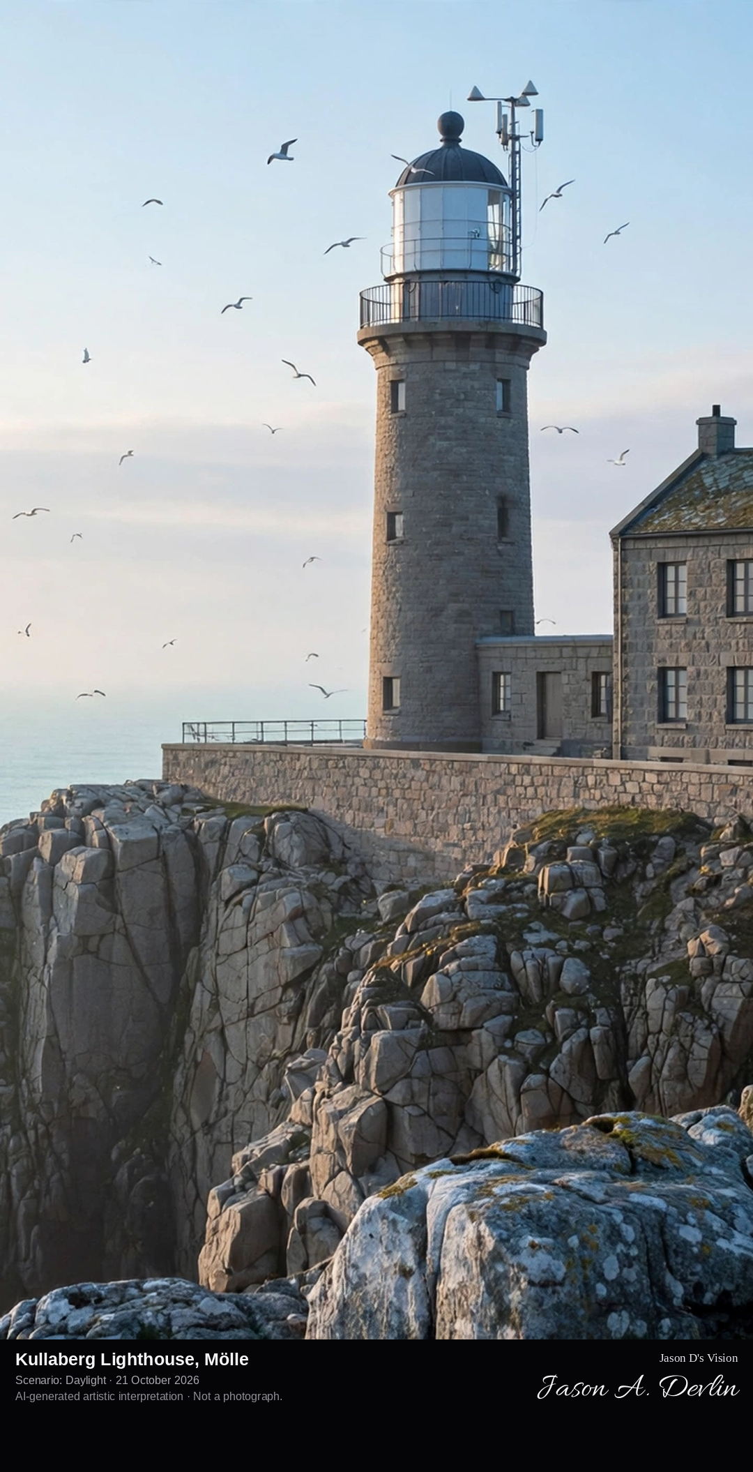
On the rocky point of Kullaberg: the grey granite lighthouse tower with its white lantern room and black dome, attached to its two-storey keeper's building, above steep cliffs dropping to the Kattegat.
Kullaberg Lighthouse — Kullens fyr — stands at the point of the Kullaberg peninsula by the mouth of the Öresund, the oldest lighthouse site in Scandinavia, first established in 1561 under the Danish king Fredrik II. The present tower, designed by Magnus Dahlander and lit in 1900, is a cylindrical tower of grey unpainted granite and brick, 18.5 metres tall, with a white lantern and black dome, attached to a two-storey building. Its light, 78.5 metres above the sea, is the highest-sited in Sweden and the most powerful in Scandinavia, guiding one of the world's most heavily travelled waters.
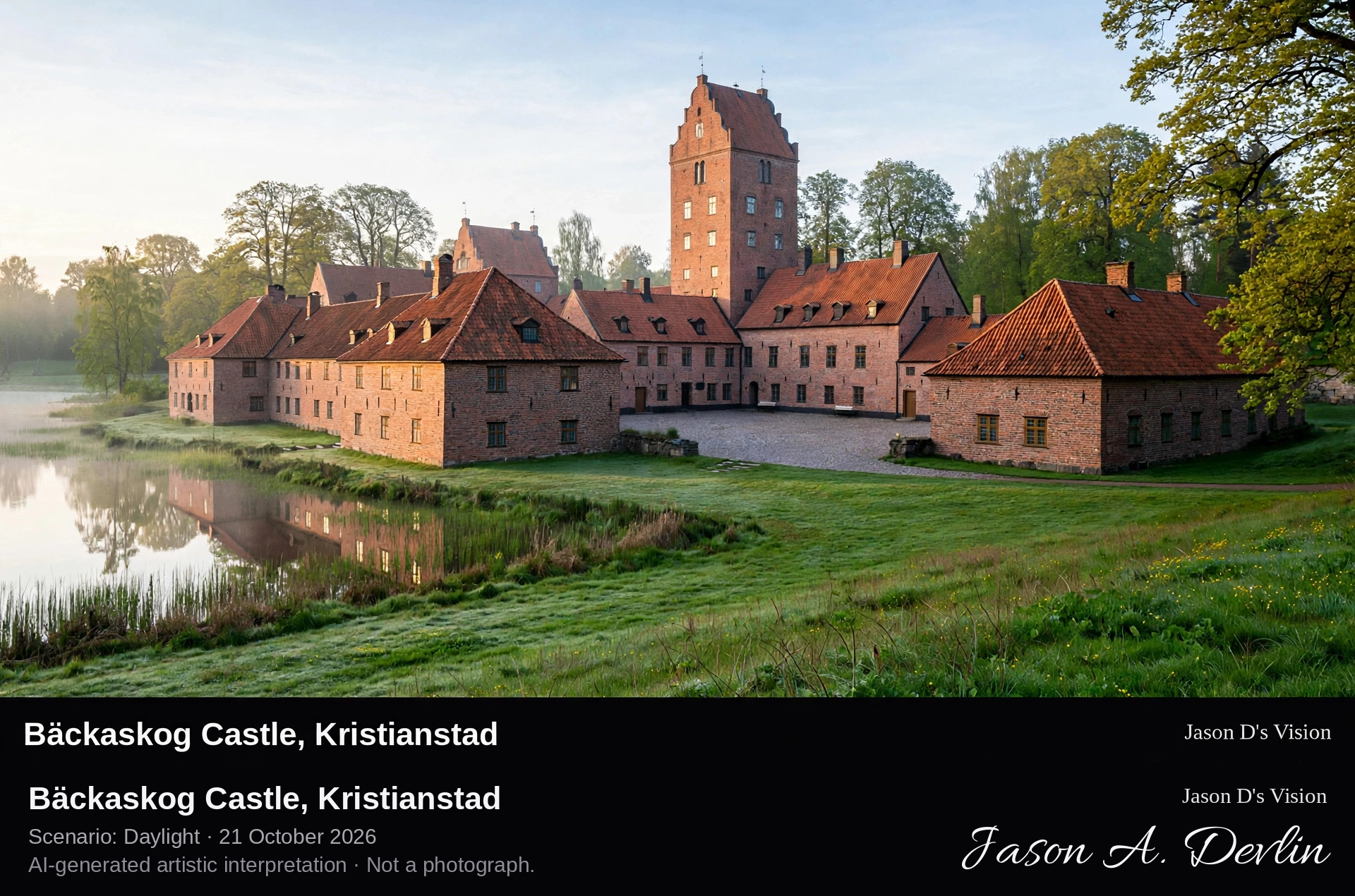
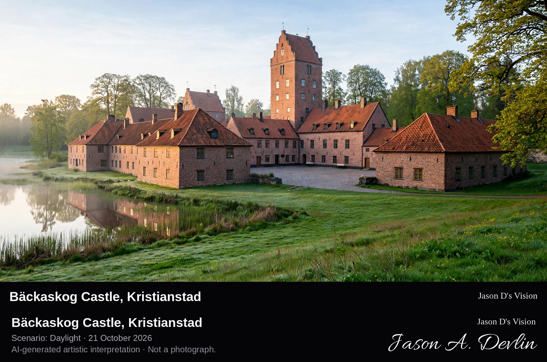
Across the castle park lawns to the sprawling white-walled, red-roofed castle courtyard complex, standing on its narrow isthmus between the two lakes.
Bäckaskog Castle stands on a narrow isthmus between Ivösjön, Skåne's largest lake, and Oppmannasjön, north-east of Kristianstad. It began in the 13th century as a Premonstratensian monastery, closed by the Danish Crown in 1537 at the Reformation. Between 1584 and 1653 the noblemen Henrik Ramel and his son rebuilt it as a fortified castle, giving it its present somewhat sprawling appearance of white walls and red-tiled roofs around a courtyard, a mix of brick and plaster with old crosses and bricked-up doors. King Charles XV made it his summer residence from 1853 until 1872, and its park, monastery chapel remains and 18th-century stables are open to the public.
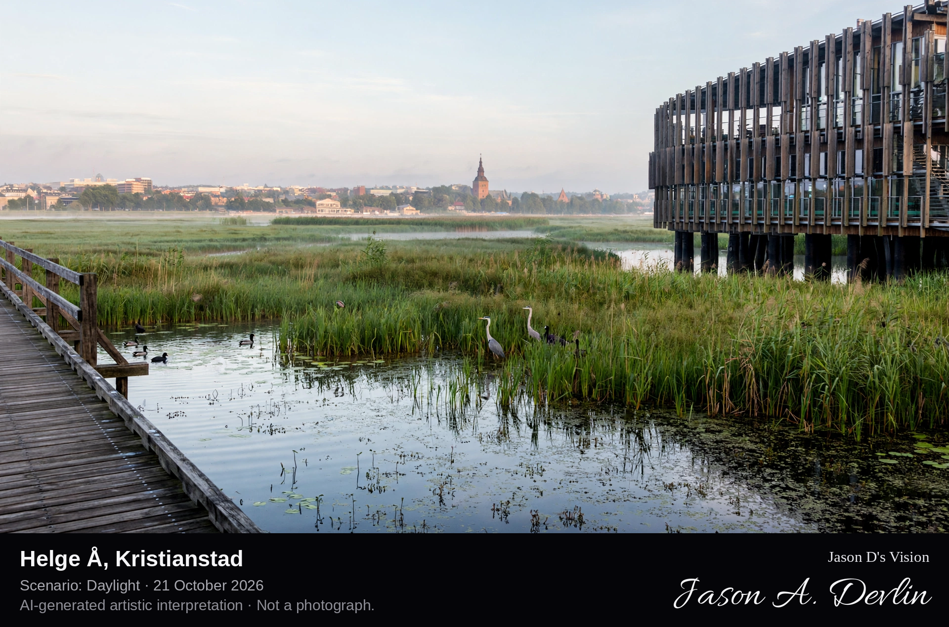
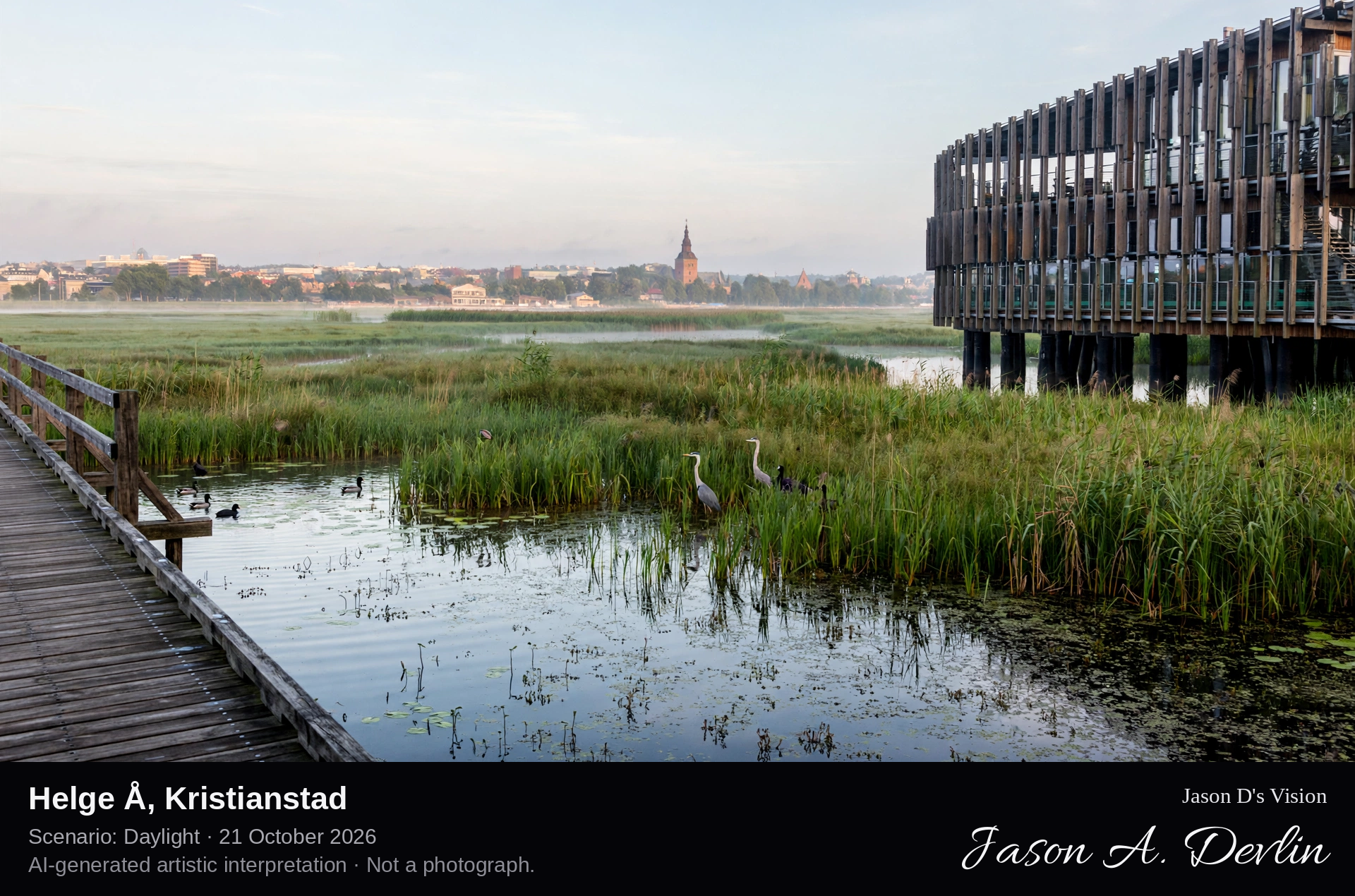
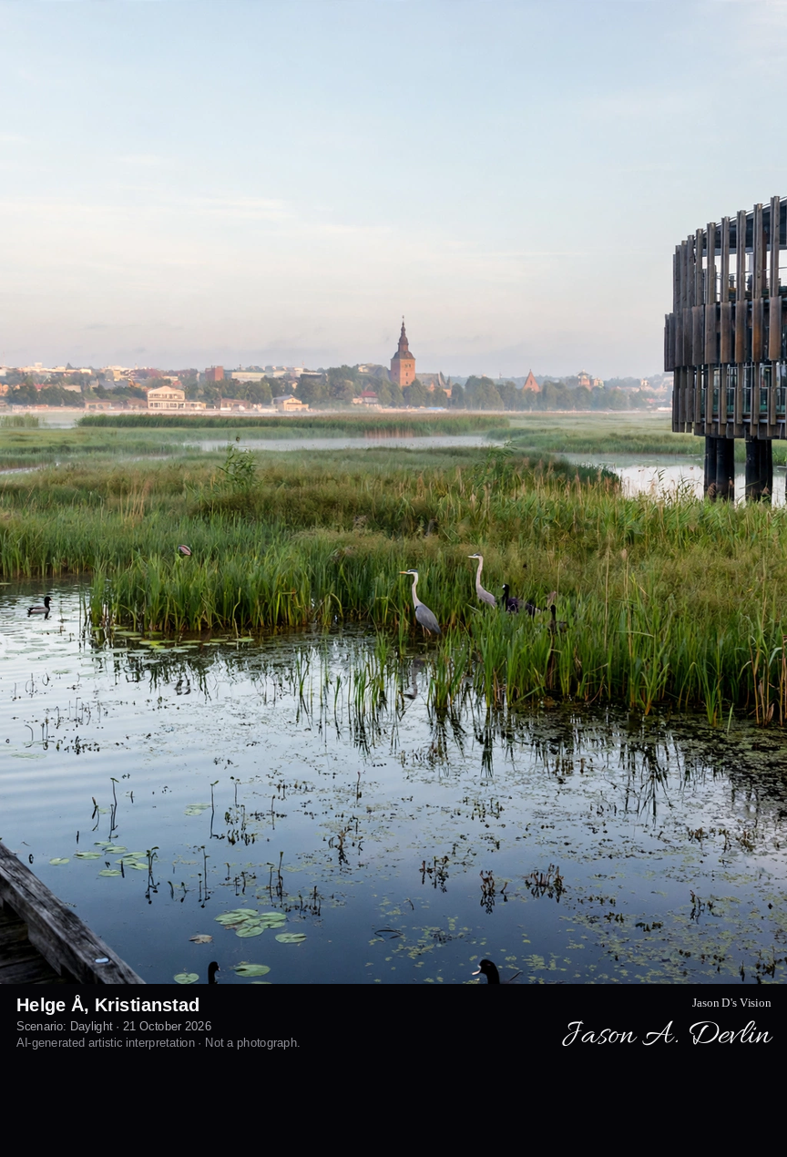
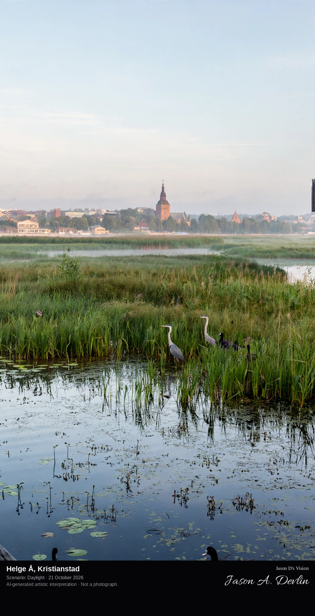
From the Naturum Vattenriket boardwalk viewpoint: the timber boardwalk crossing the reed beds of the Helge Å wetlands in the foreground, the slatted Naturum visitor centre rising among the reeds, and Kristianstad's rooftops across the river.
Just a few hundred metres from Kristianstad's centre, the river Helge å spreads into the wetlands of Kristianstads Vattenrike, a UNESCO biosphere reserve established in 2005 — Sweden's oldest — covering much of the municipality's river, lake and shore-meadow landscape. The named viewpoint is the boardwalk outside Naturum Vattenriket, the reserve's visitor centre opened in 2010 on the far bank of the Helge å: a timber building raised four metres above the flood-prone ground, its vertical slats echoing the reeds. From the boardwalk and its hide, visitors look through the reed beds over the naturum pond and wetlands, with the city skyline behind — a wild wetland in the middle of a town.
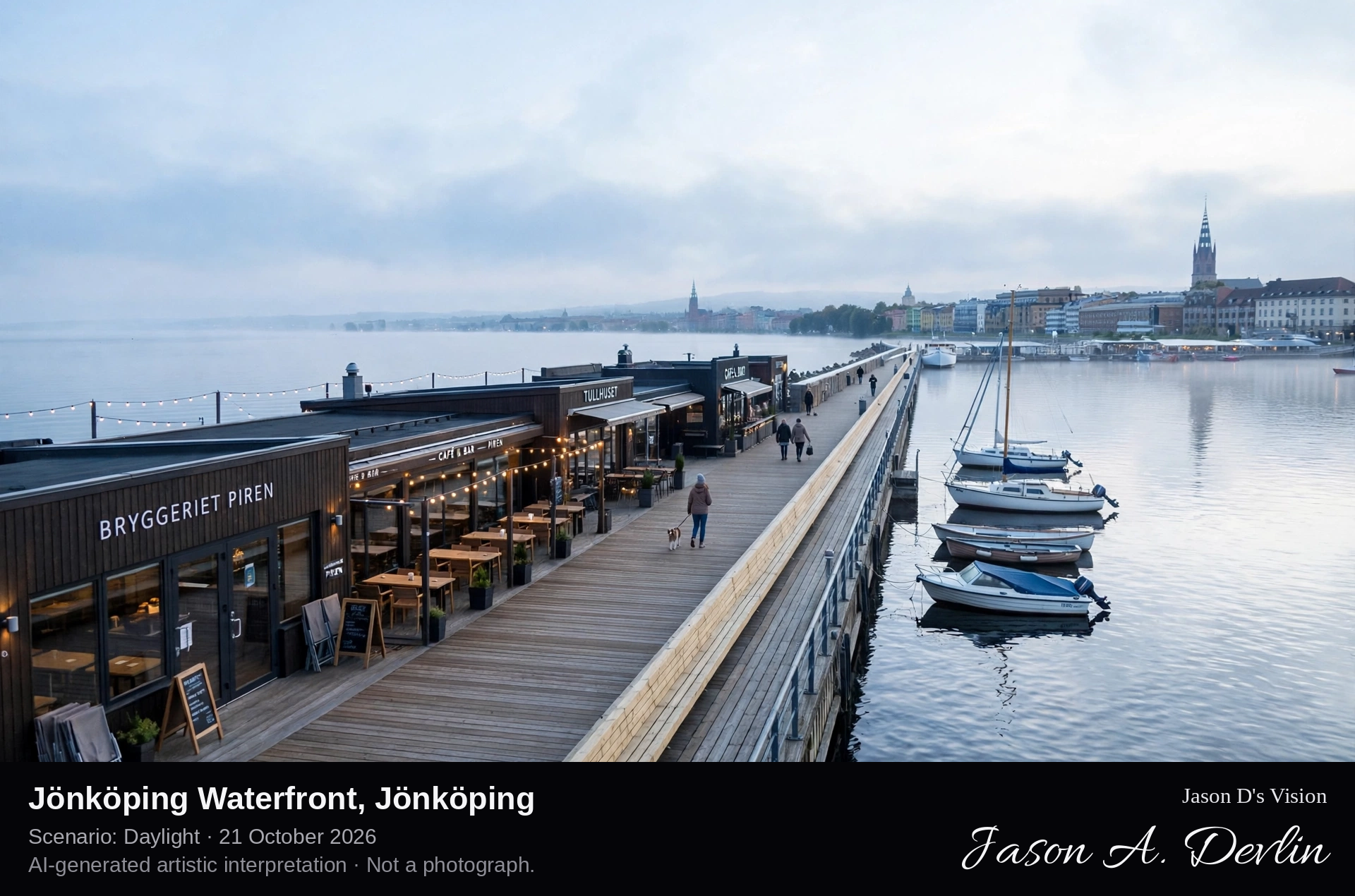
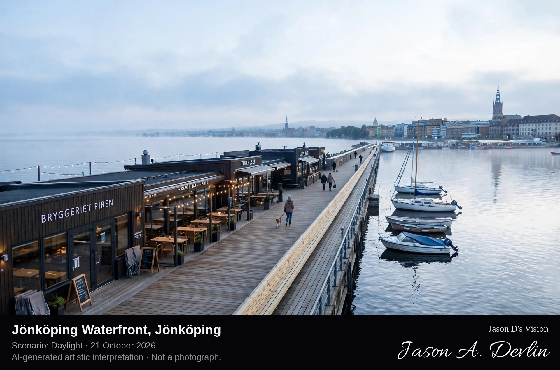
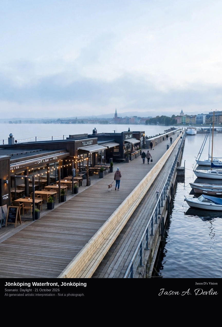
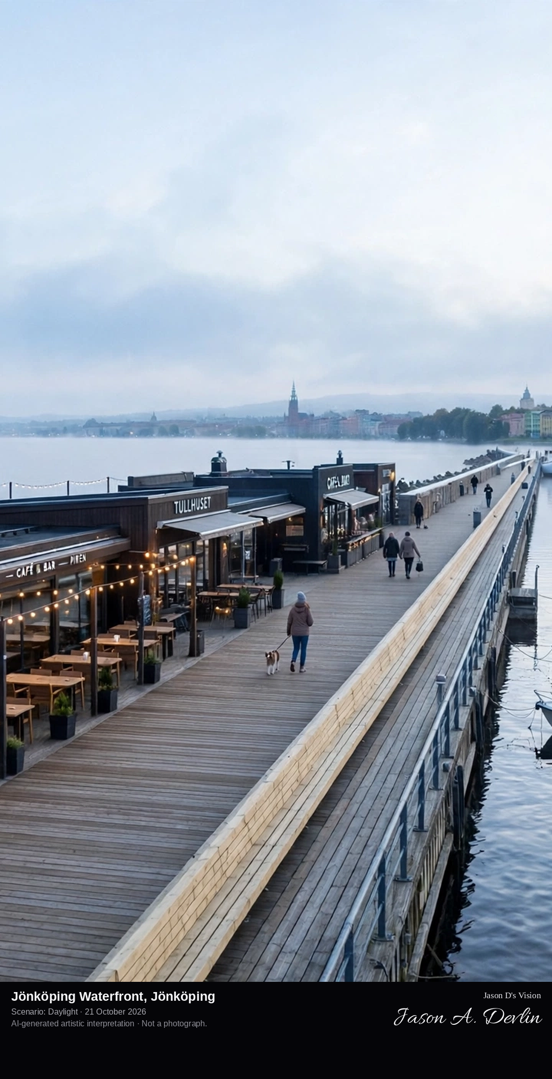
Along Piren, Jönköping's long harbour pier reaching into Lake Vättern, with its restaurant buildings and long bench seating, looking out over Sweden's second-largest lake toward the city waterfront.
Jönköping stands at the southern shore of Lake Vättern, Sweden's second-largest lake, and its waterfront is the city's summer living room. The long harbour pier, Piren, stretches out into the lake from the centre, lined with restaurants and bars and a famously long bench seat, with small marinas and the lakeside promenade running along the shore. From the pier the deep, clear water of Vättern opens northward toward the island of Visingsö, while behind lies the city that grew up as a trading and manufacturing town on the lake's southern tip.
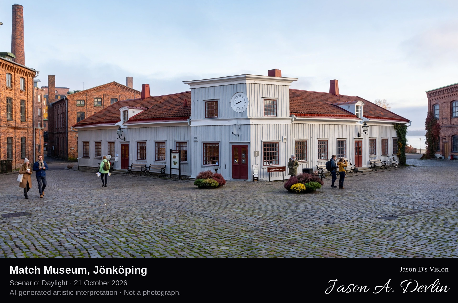
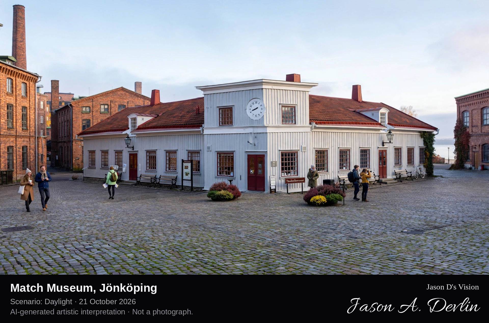
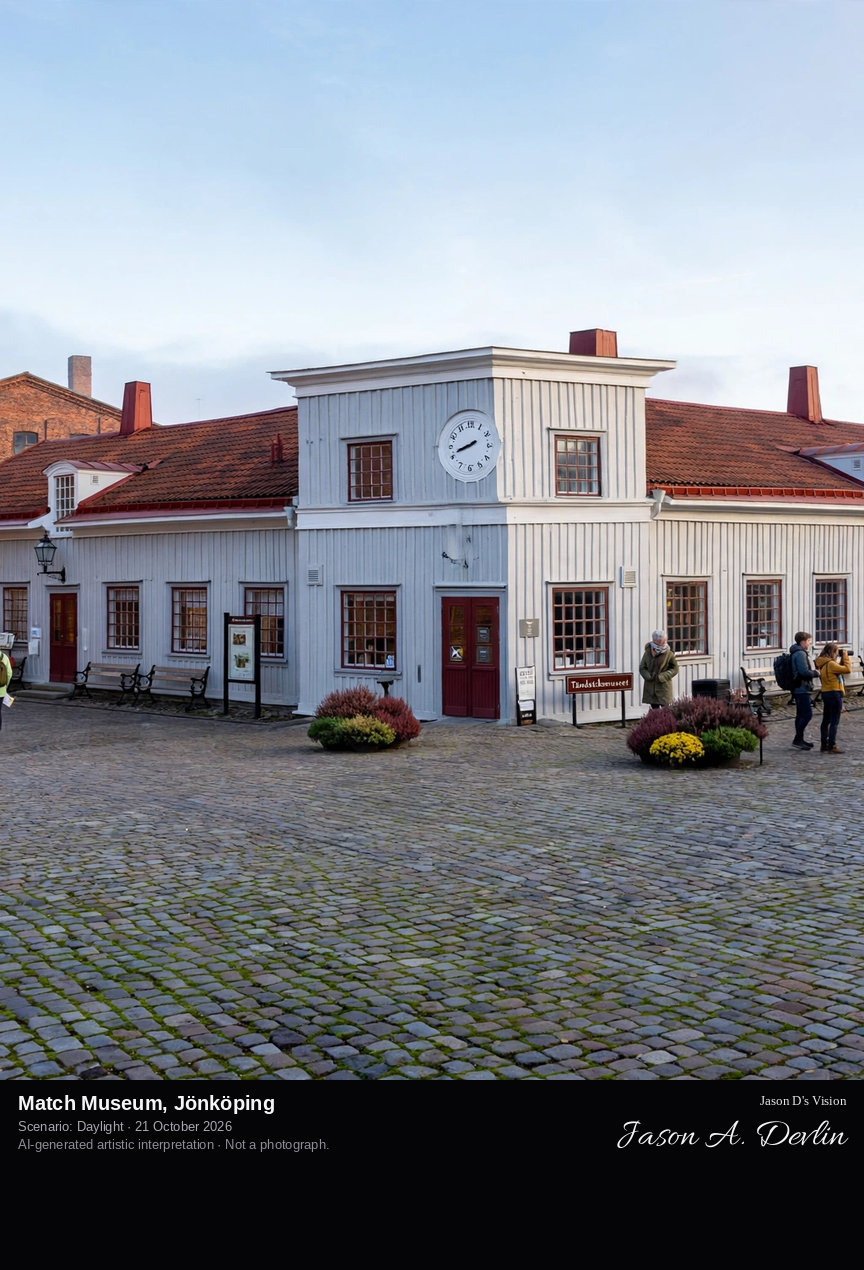
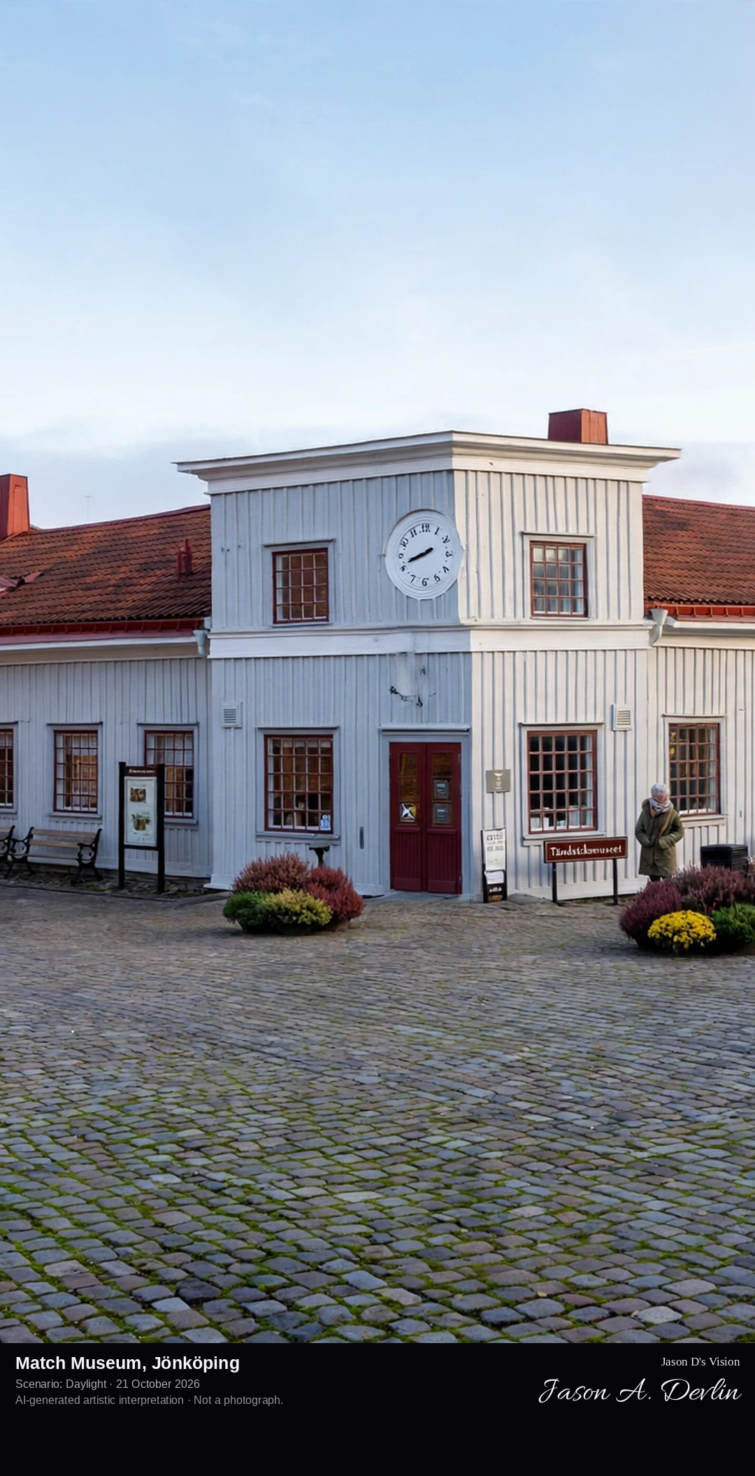
The long wooden 1848 factory building known as 'Ettan', home of the Match Museum, in the cobbled Matchstick Area by Lake Vättern's southern shore in Jönköping.
The Match Museum, Tändsticksmuseet, stands on the southern shore of Lake Vättern in Jönköping, housed in the beautiful wooden building of 1848 that was the city's first match factory, known as 'Ettan'. The brothers Johan and Carl Lundström began match production here in the 1840s, and Jönköping grew into a world centre of the safety-match industry; at its peak around a third of the town's people, some two thousand, worked in the match factories. Opened as a museum in 1948 for the factory's centenary and protected as a listed building since 1986, it is one of only three match museums in the world, set among the cobbled streets of the preserved Matchstick Area.
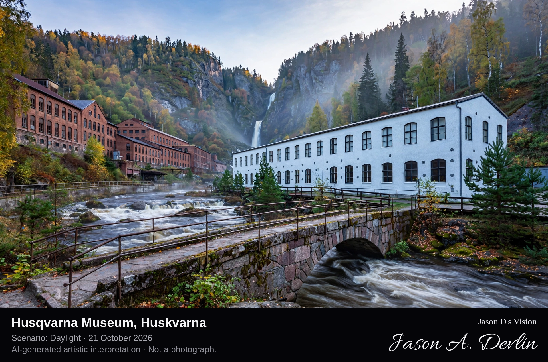
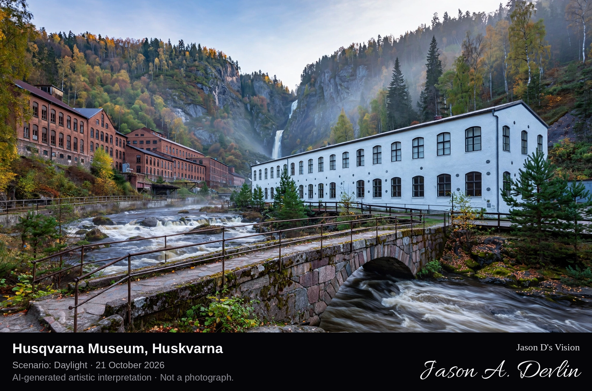
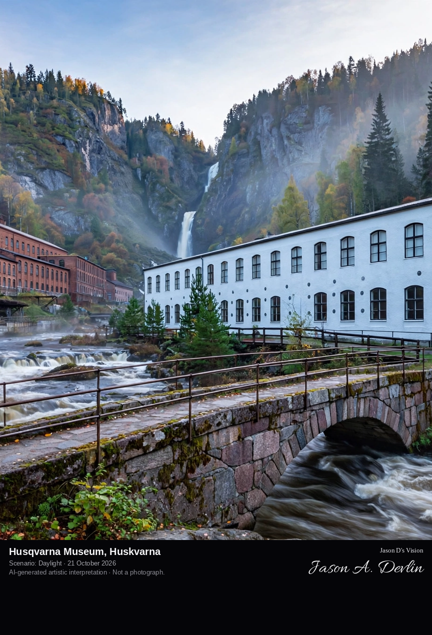
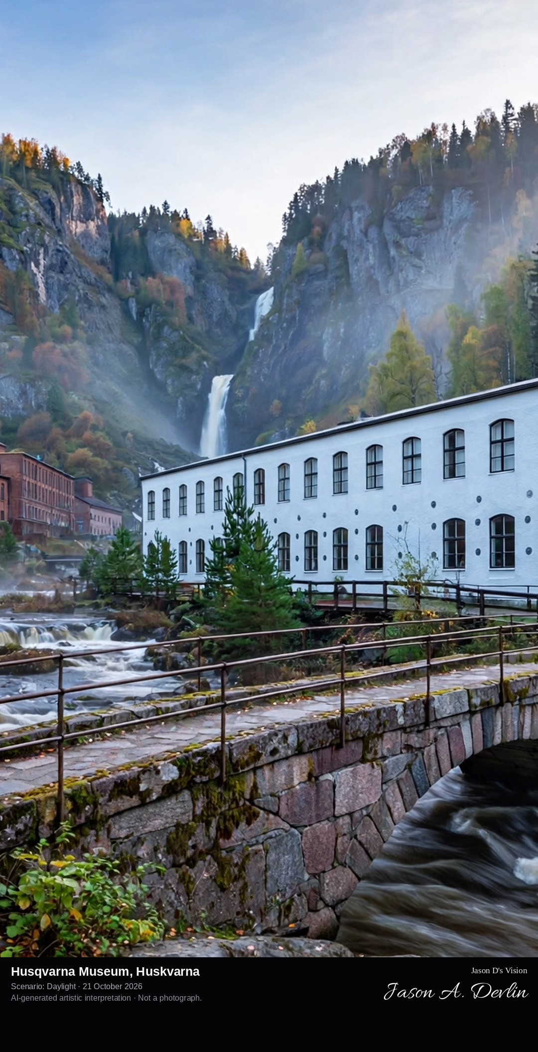
The historic factory building that houses the Husqvarna Museum beside the Huskvarna river, below the Huskvarna Falls, with the older factory settlement around it.
The Husqvarna Museum stands in Huskvarna beside the river Huskvarnaån, just below the Huskvarna Falls, where a boring mill for the Jönköping rifle factory was built in 1689 to use the water power of the falls. The company founded there, Husqvarna, grew from a royal rifle factory into one of Sweden's great industrial names, making sewing machines from 1872, bicycles, motorcycles from 1903, chainsaws and garden machinery. The museum, housed in the historic factory building raised after the works became a joint-stock company in the late 1860s and opened in 1993, tells more than three hundred years of that production beside the waterfall that started it.
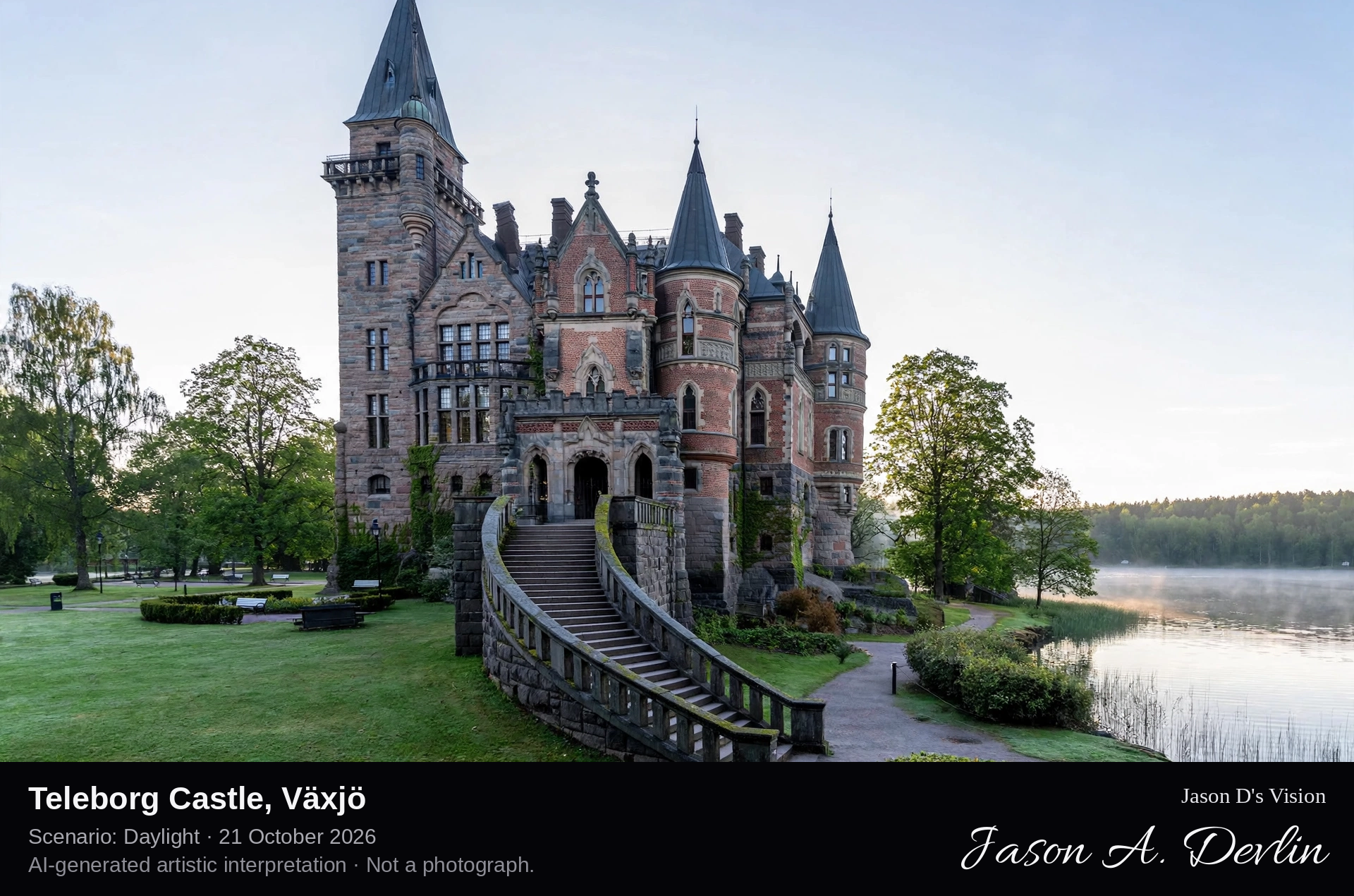
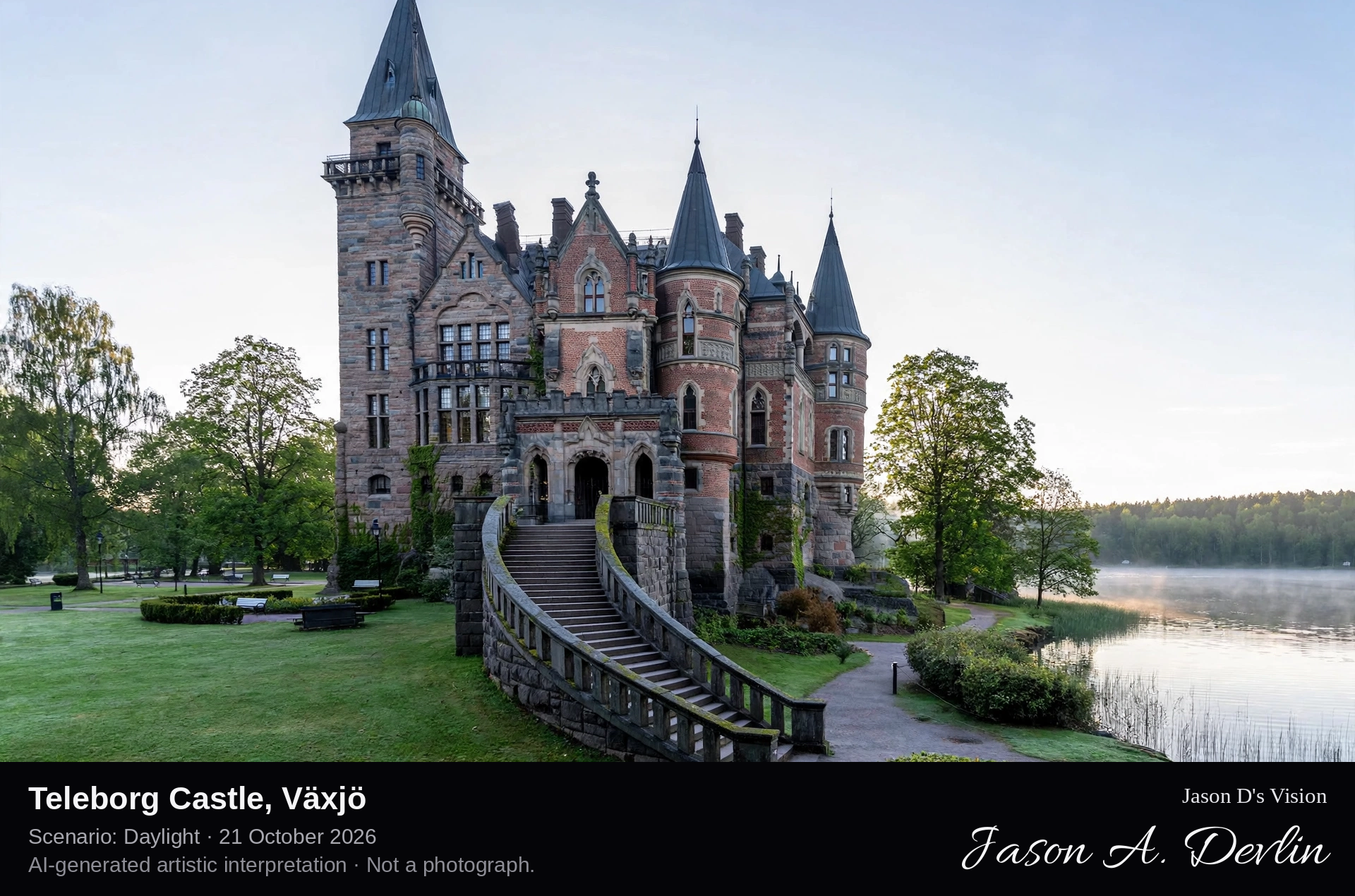
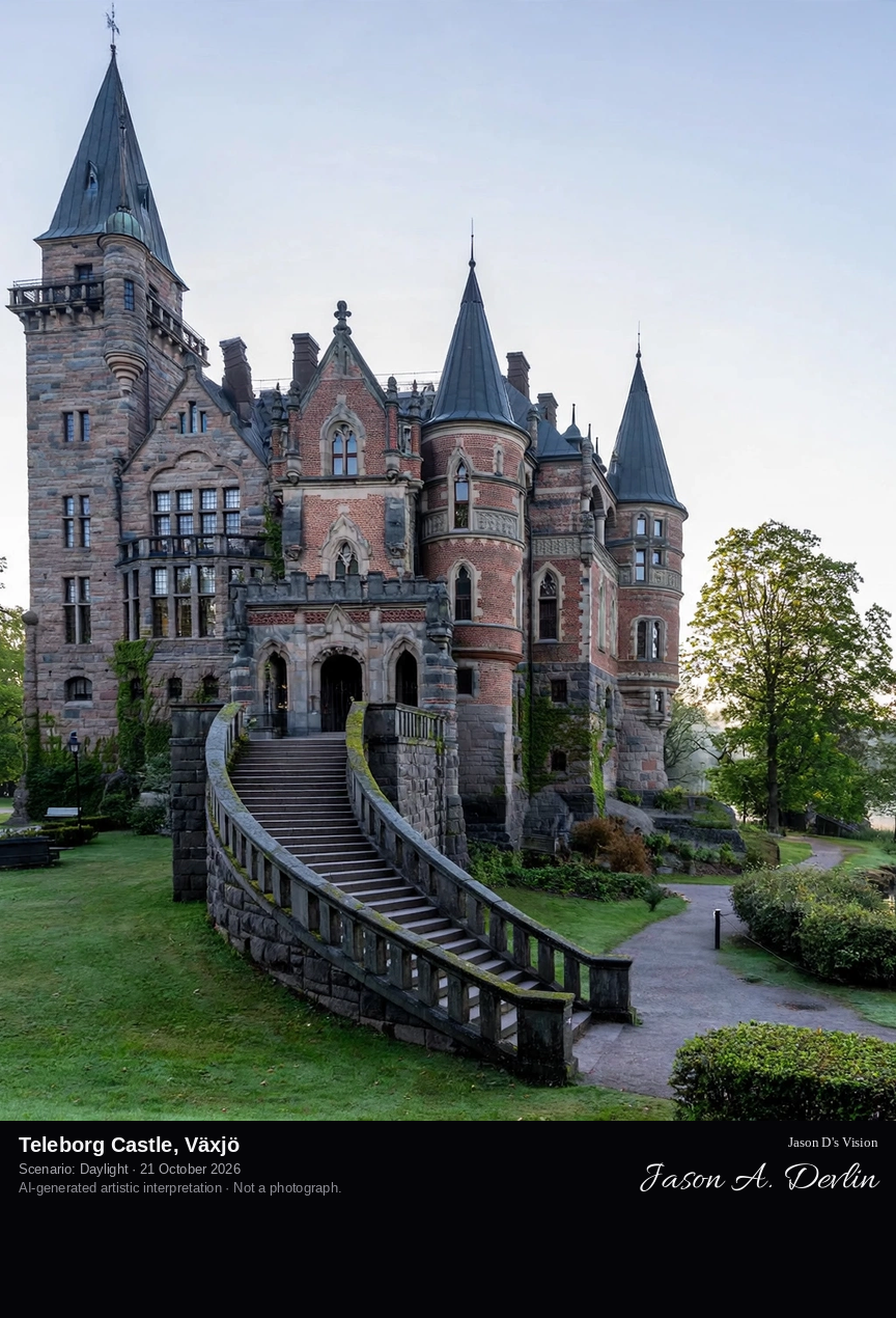
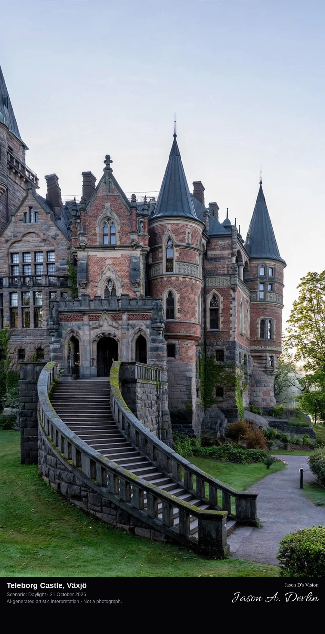
From the castle park approach: the turreted brick-and-granite neo-Gothic castle rising above its lawns near Lake Trummen, south of Växjö.
Teleborg Castle stands in a park by Lake Trummen, four to five kilometres south of Växjö's centre, beside the Linnaeus University campus. Despite its medieval air, the castle was built in 1900, to designs by the architects Lindvall & Boklund, as a wedding present from Count Fredrik Bonde af Björnö to his wife Anna Koskull. Its playful brick-and-granite masonry, turrets and sweeping staircases make it a fairy-tale Rhine-style castle in the Småland woods. After the couple's deaths it served as a girls' school and lodgings; Växjö bought it in 1964, and today it is a well-known wedding, conference and hotel venue, regarded as one of Sweden's best-preserved castles of its period.
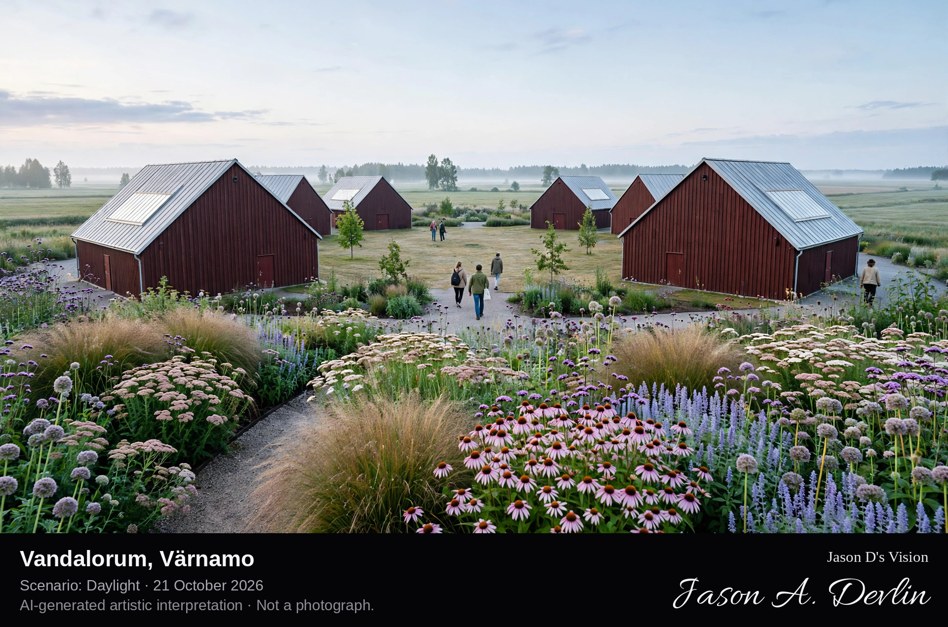
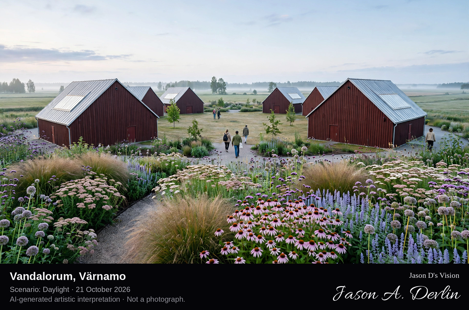
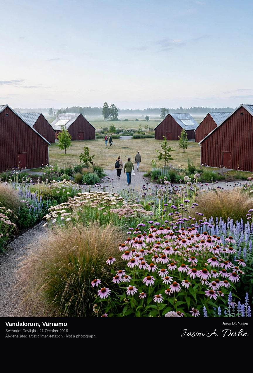
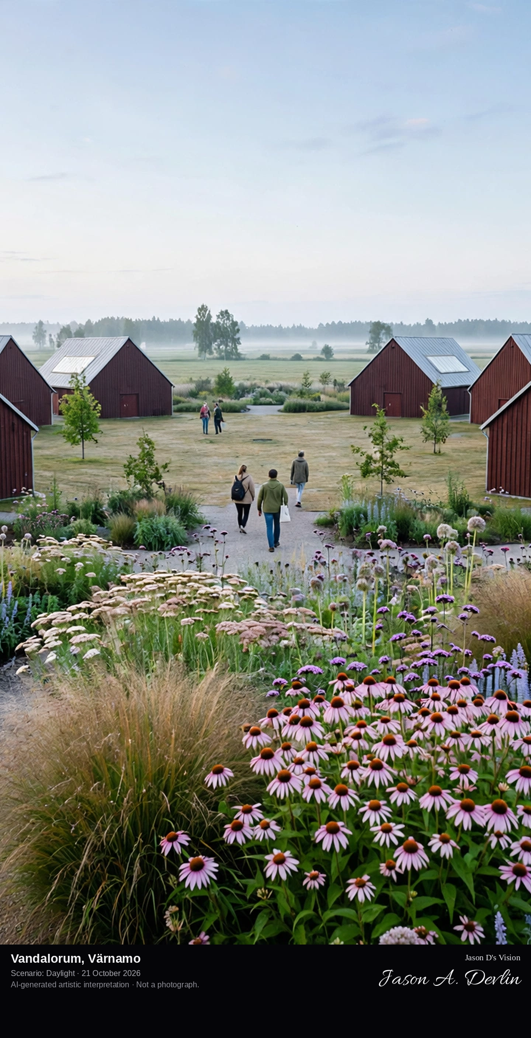
Across the fields to Vandalorum's ring of dark-red barn-like museum buildings with metal gable roofs, enclosing their courtyard on the edge of Värnamo.
Vandalorum is a museum for contemporary art and design in fields on the outskirts of Värnamo, inaugurated in April 2011. Its buildings, designed by the Italian architect Renzo Piano, take their form from the monumental red hay-drying barn that once stood on the site: a ring of barn-like structures with dark red wooden batten facades and metal gable roofs, arranged around a protective courtyard for a natural walking tour through the exhibitions. The museum was the long-pursued idea of designer Sven Lundh, first raised in 1984; construction began in the winter of 2010. Around the barns lies a perennial garden designed by Piet Oudolf, his first at a Nordic cultural institution.
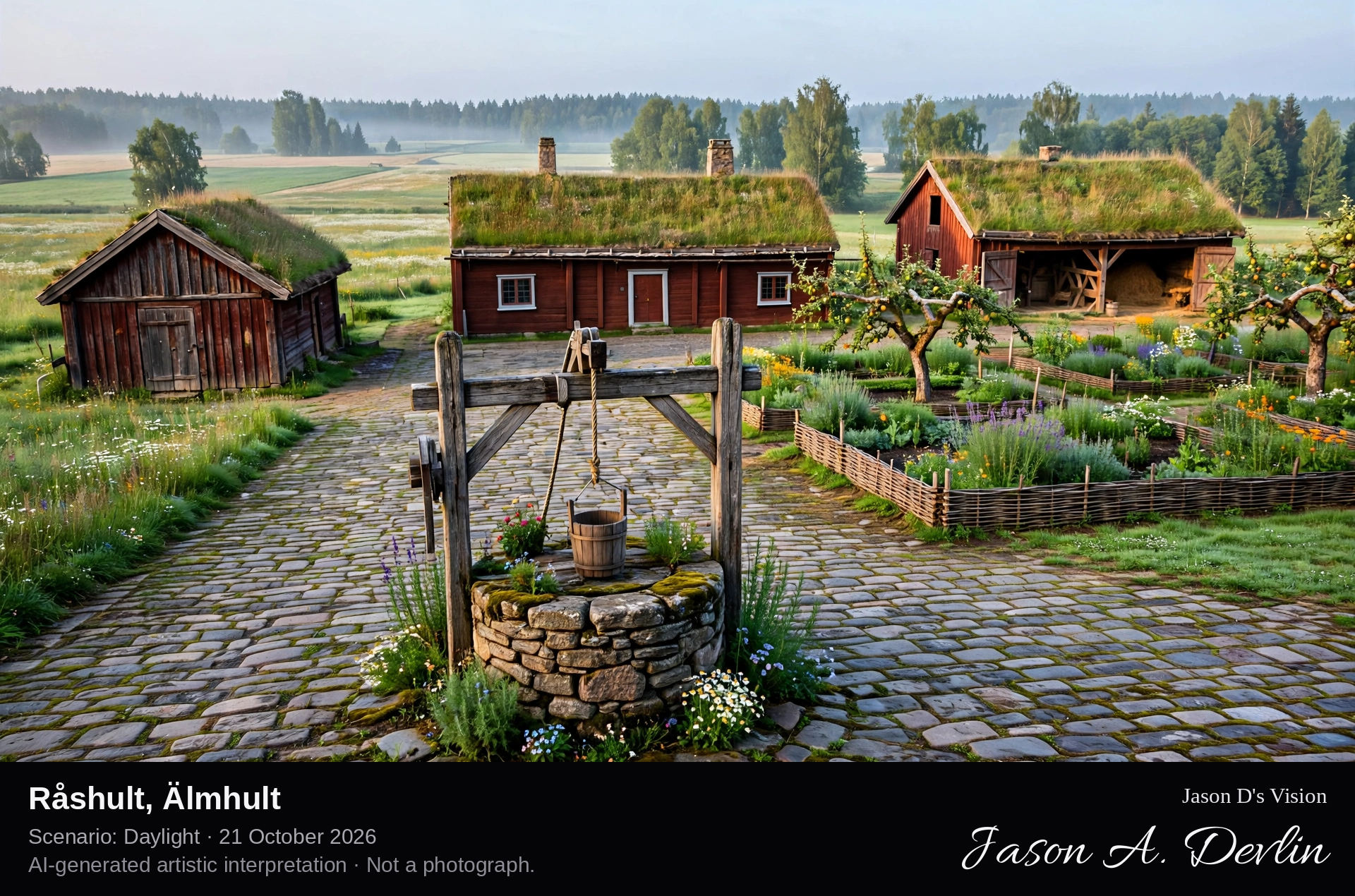
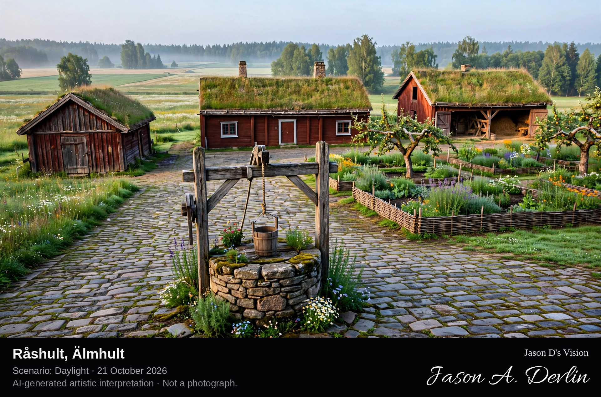
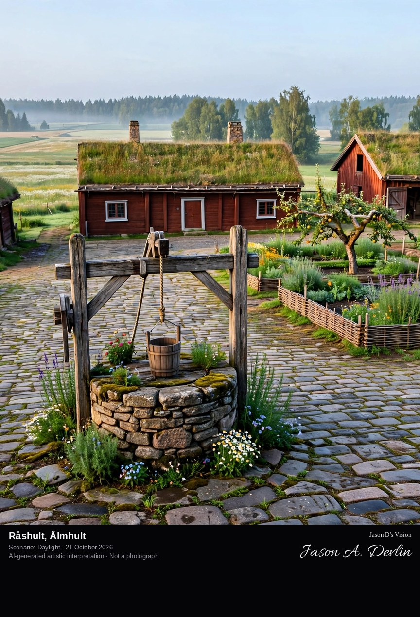
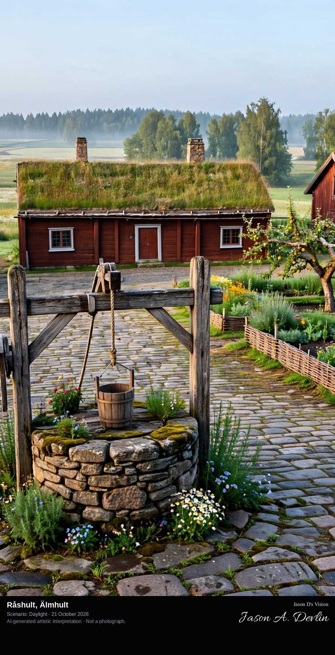
Across the stone-paved farmyard at Råshult: the surviving 18th-century timber farmhouse Linnéstugan with its farm buildings and recreated vicarage garden, meadows and fields of the cultural reserve beyond.
Råshult, near Älmhult in Småland, is the birthplace of Carl von Linné, Carl Linnaeus, born here in 1707 as the son of the curate Nils Linnaeus. The 58-hectare cultural reserve, Sweden's tenth, preserves the early 18th-century vicarage landscape of farm buildings, fields, meadows and woodland bordering Lake Såganässjön. The buildings stand where they stood in Linné's time; the only survivor from the 18th century is the farmhouse Linnéstugan, built between 1751 and 1781 and now a museum, while the gardens his plant-loving father created have been revived.
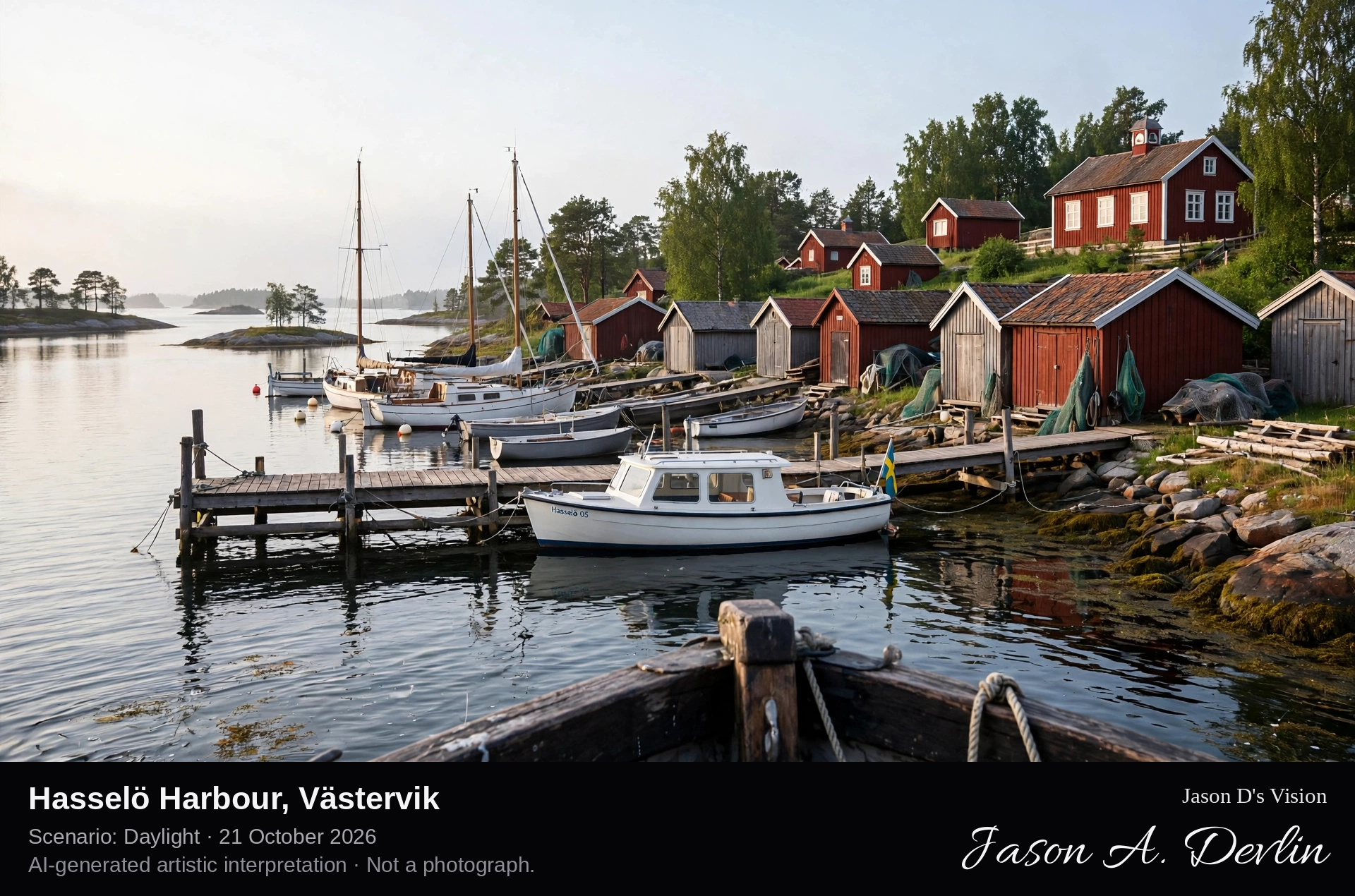
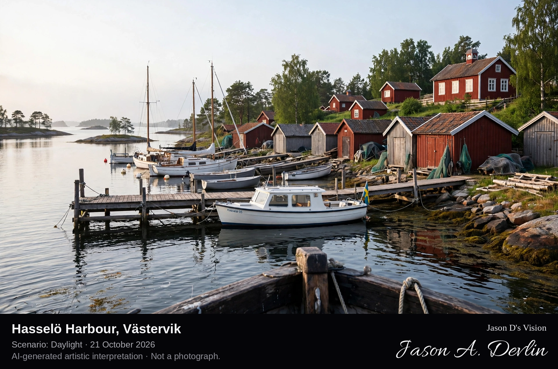
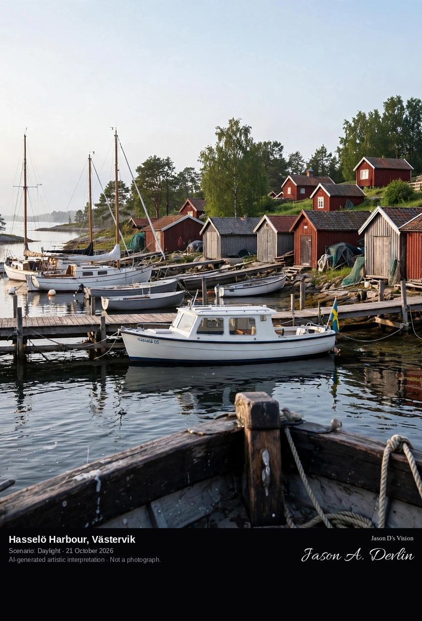
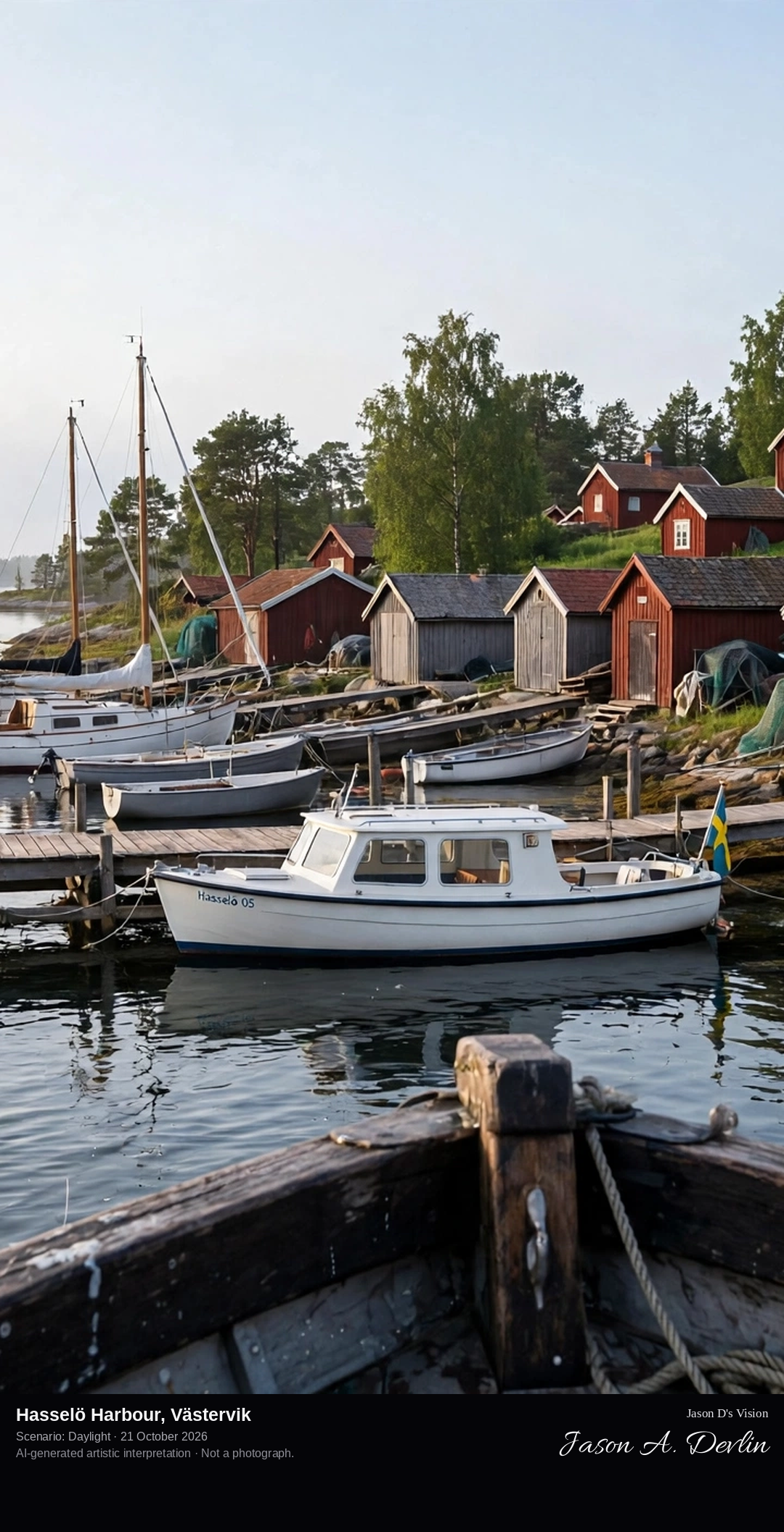
From the arriving archipelago boat at Hasselö Sand: the ferry jetty and small marina in the foreground, boathouses and fishing huts along the shore, and the island's red wooden houses among the trees behind.
Hasselö is a car-free island in the Tjust archipelago between Västervik and Loftahammar, with no fixed link to the mainland, joined by a small bridge to neighbouring Sladö, a nature reserve. Archipelago boats dock at Hasselö Sand, where the settlement gathers: a general store, a marina, bicycle and kayak rental, and the restaurant Sjökanten set among boathouses and fishing huts. The island's old school is now a hostel, its houses are traditional red wooden cottages, and paths and cycle tracks cross nine kilometres of meadows, deciduous woods, pine forest and bare cliffs shared with Sladö.
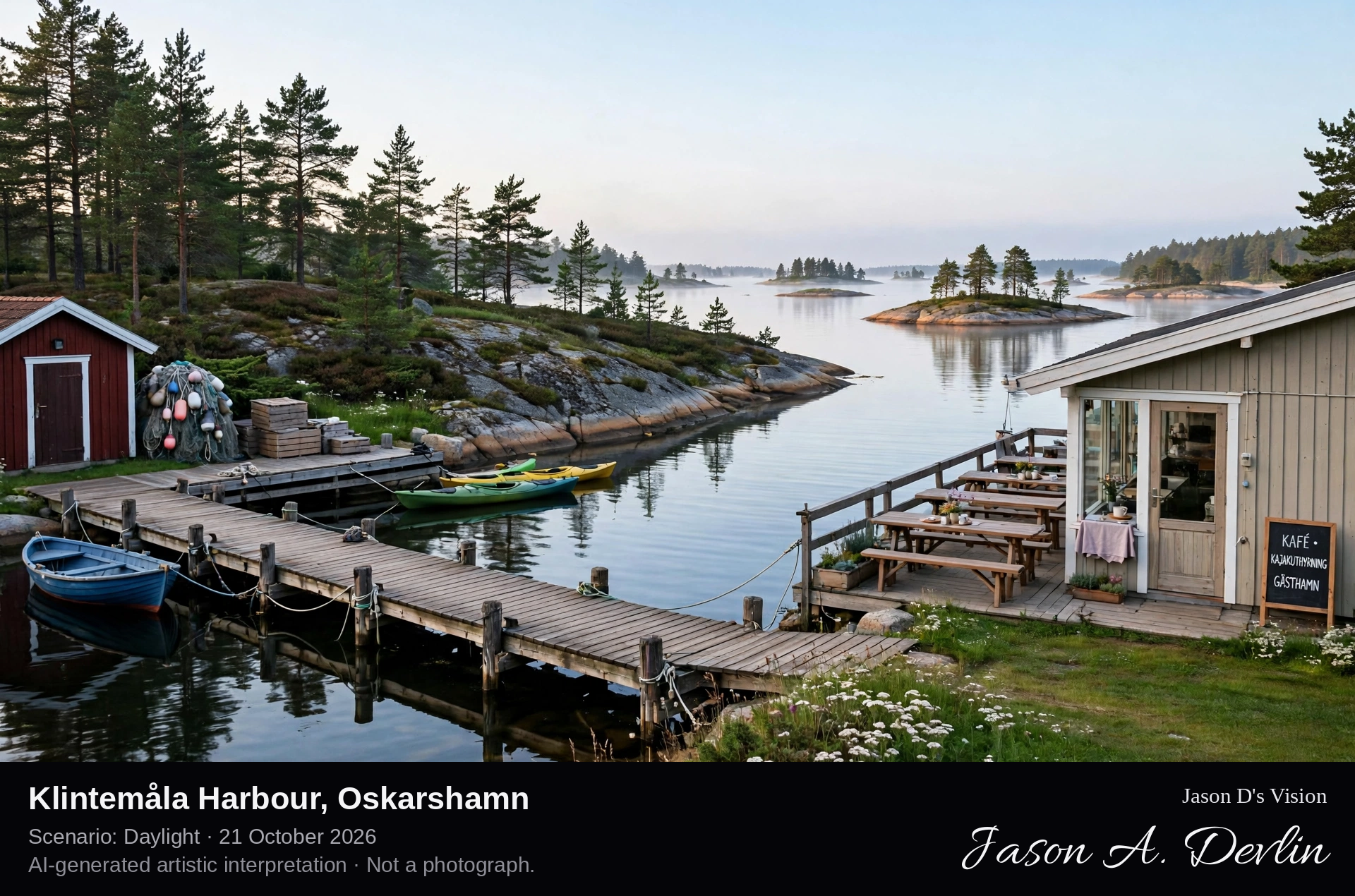
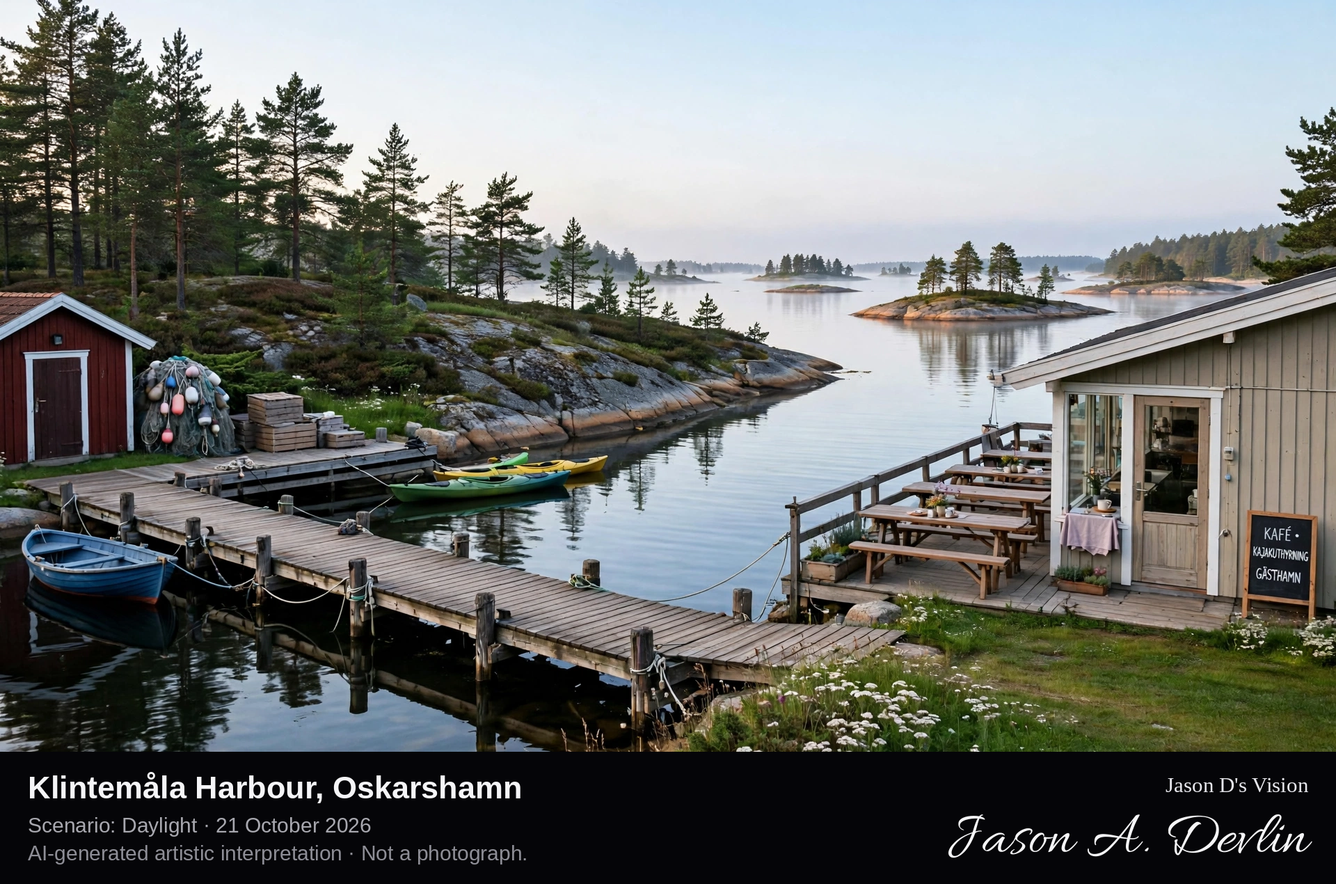
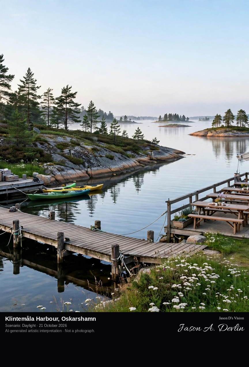
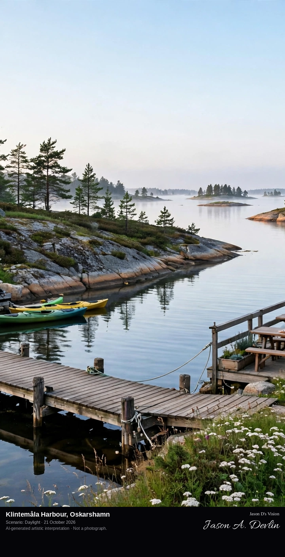
At harbour level in Klintemåla's small sheltered inlet: wooden guest jetties with small boats and kayaks, the low harbour café building on the shore, and forested granite islands of the Misterhult archipelago opening beyond.
Klintemåla is a small guest harbour on the mainland coast north of Oskarshamn, one of the town's five guest harbours and the gateway to the Misterhult archipelago. The harbour, run as Valborgs i Klintemåla, combines its jetties with a café and kayak rental, describing itself as a small harbour with a big heart, and it is a starting point for paddling the archipelago by canoe and kayak. Beyond the inlet lies the Misterhult archipelago nature reserve, one of the county's largest, with some two thousand islands, islets and skerries, old village centres, bare rocks and forested islands.
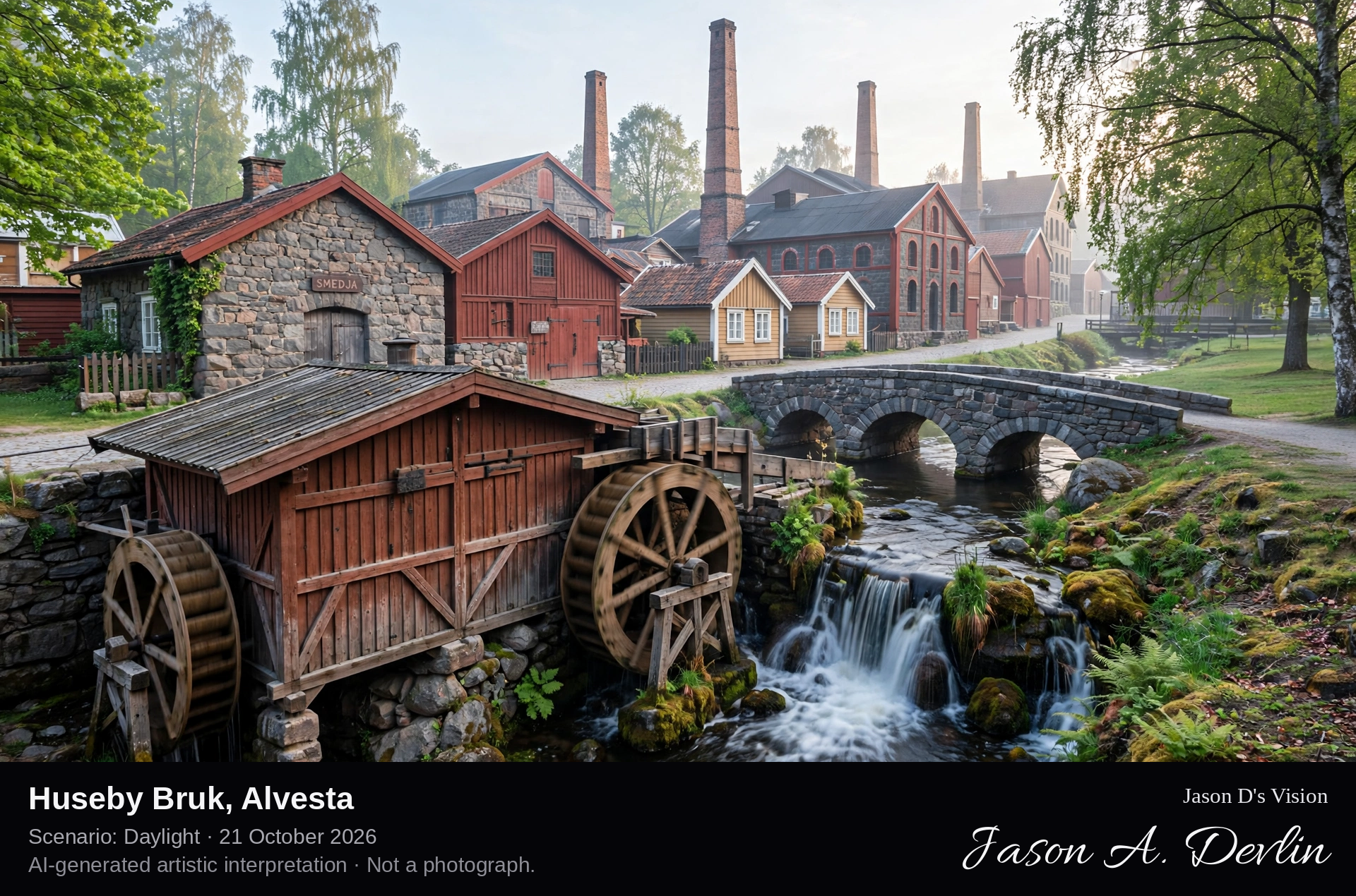
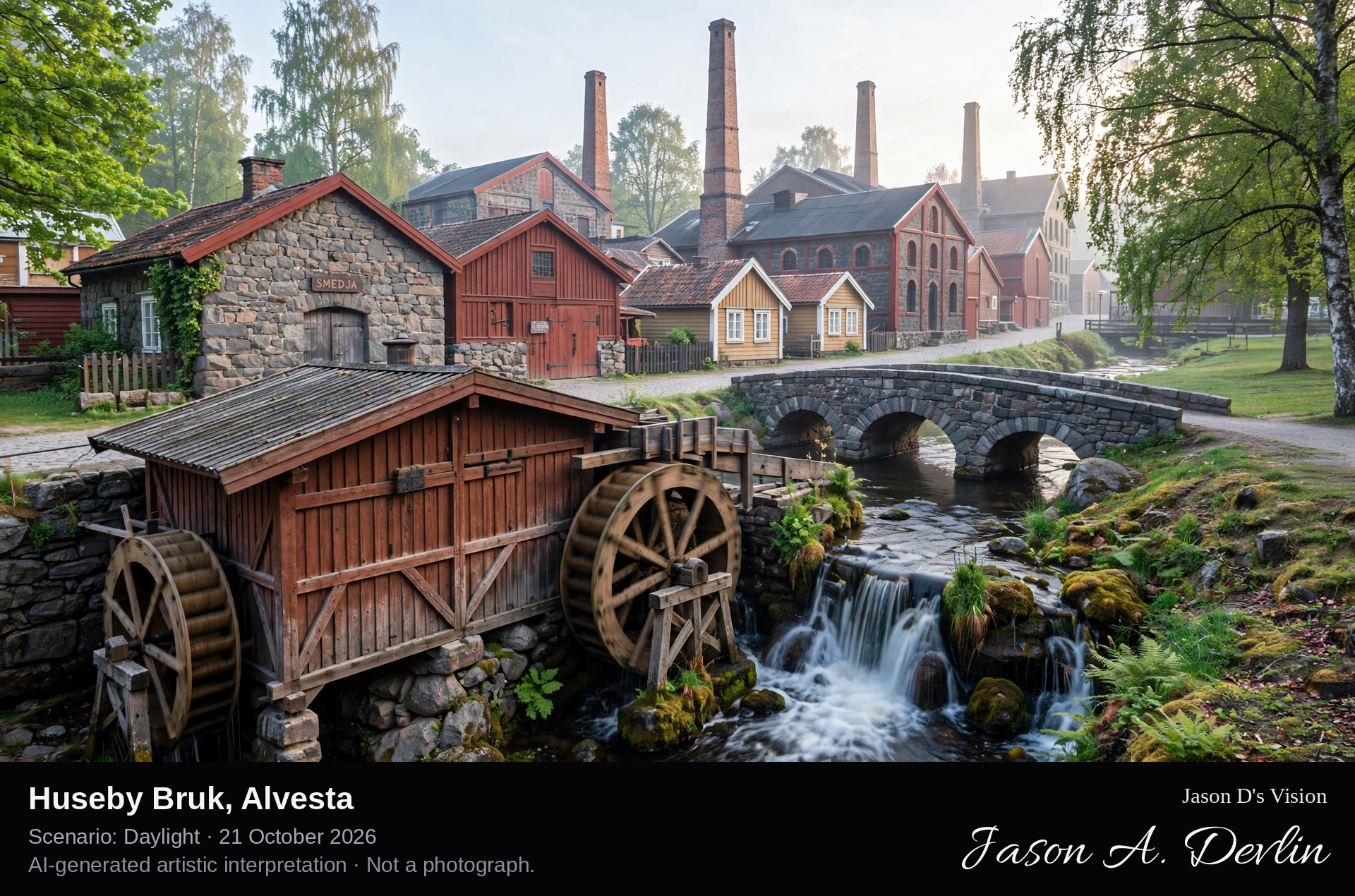
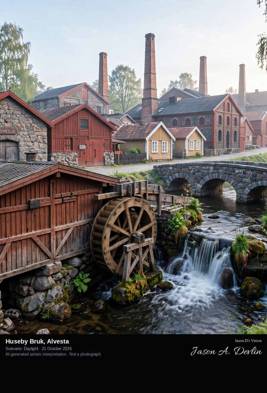
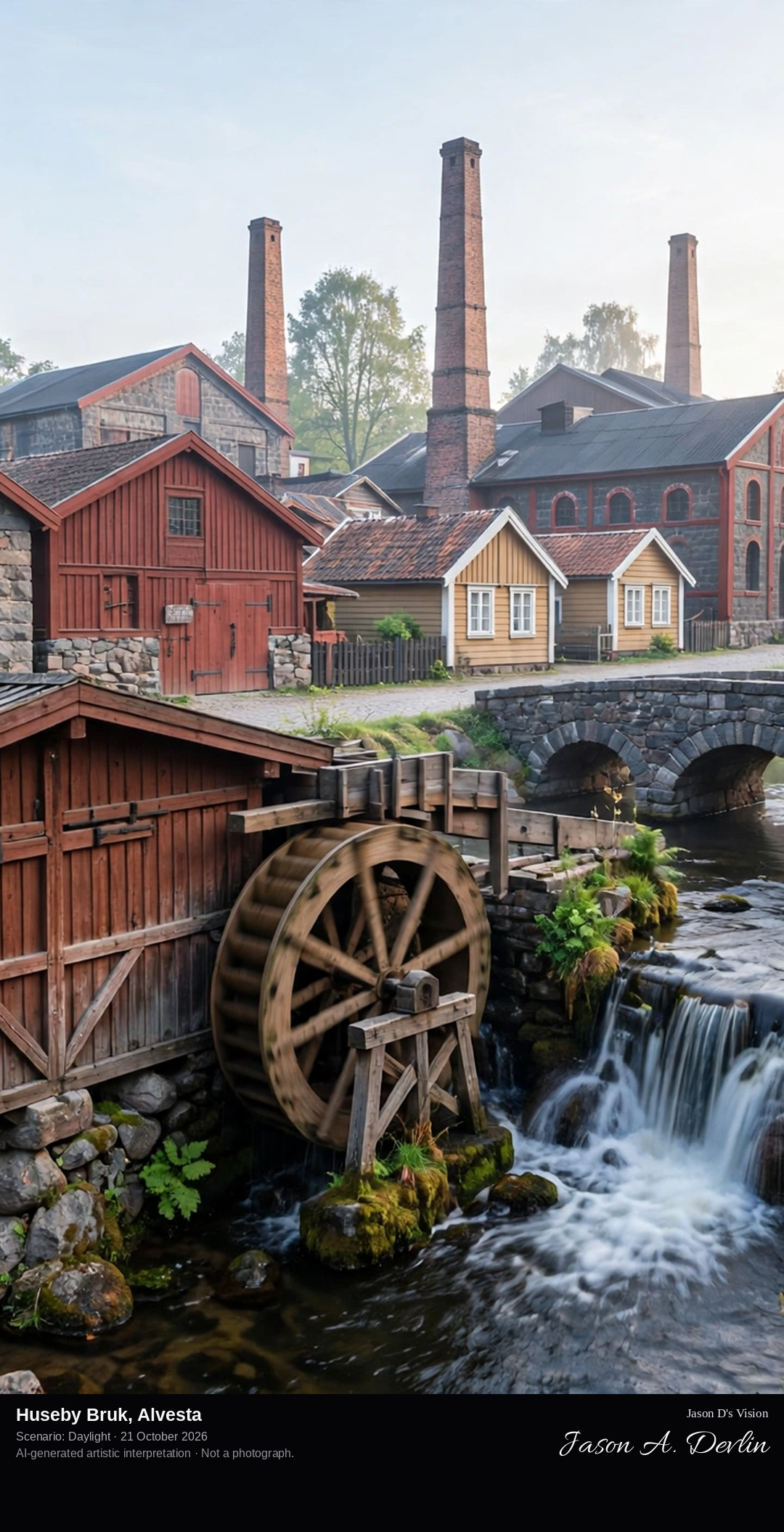
Across the Helige å at Huseby Bruk: the large water mill with its water wheels beside the stream in the foreground, the old smithy, blast furnace and foundry buildings of the ironworks behind, along the works street.
Huseby Bruk, near Grimslöv in Alvesta municipality, is a well-preserved ironworks estate whose iron production, founded in the 17th century, was based on lake ore dredged from surrounding lake bottoms, with water power from the Helige å driving the mill and tilt hammer. Around the works grew a small village of workers' dwellings along Bruksgatan, with a country store, dairy, sawmill and mill. The large water mill by the bridge over the Helige å carries four water wheels, the blast furnace has stood at the centre of the works since the mid-1600s, and the manor house, called the Castle, completed in 1844 by the Hamilton brothers, stands in its park nearby. Florence Stephens, the last private owner, bequeathed the estate to the state to be preserved.
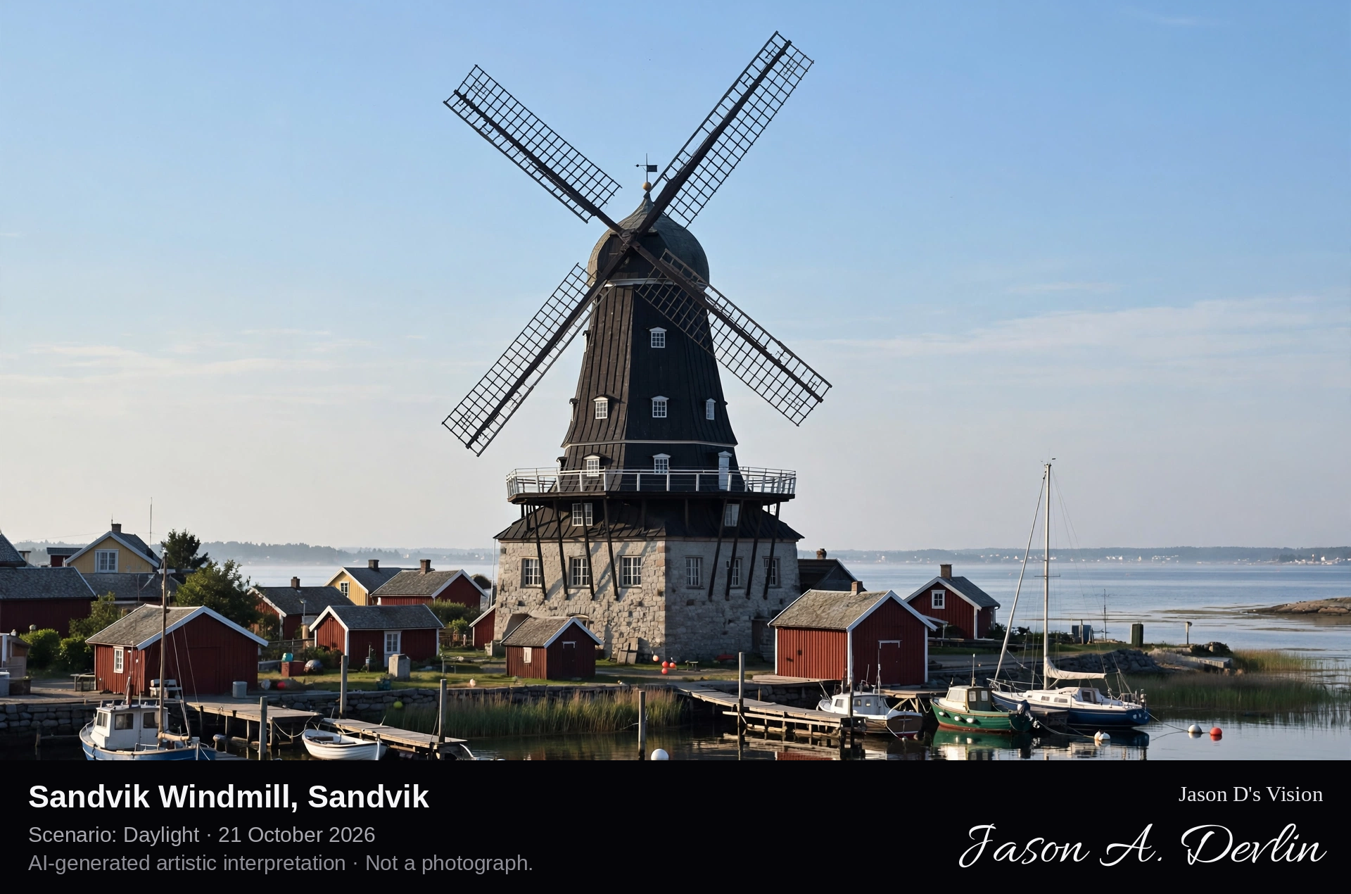
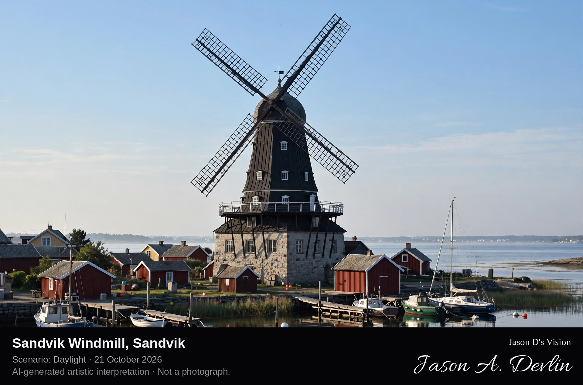
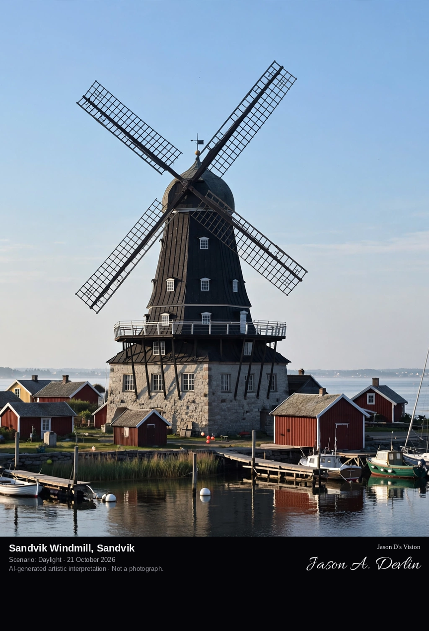
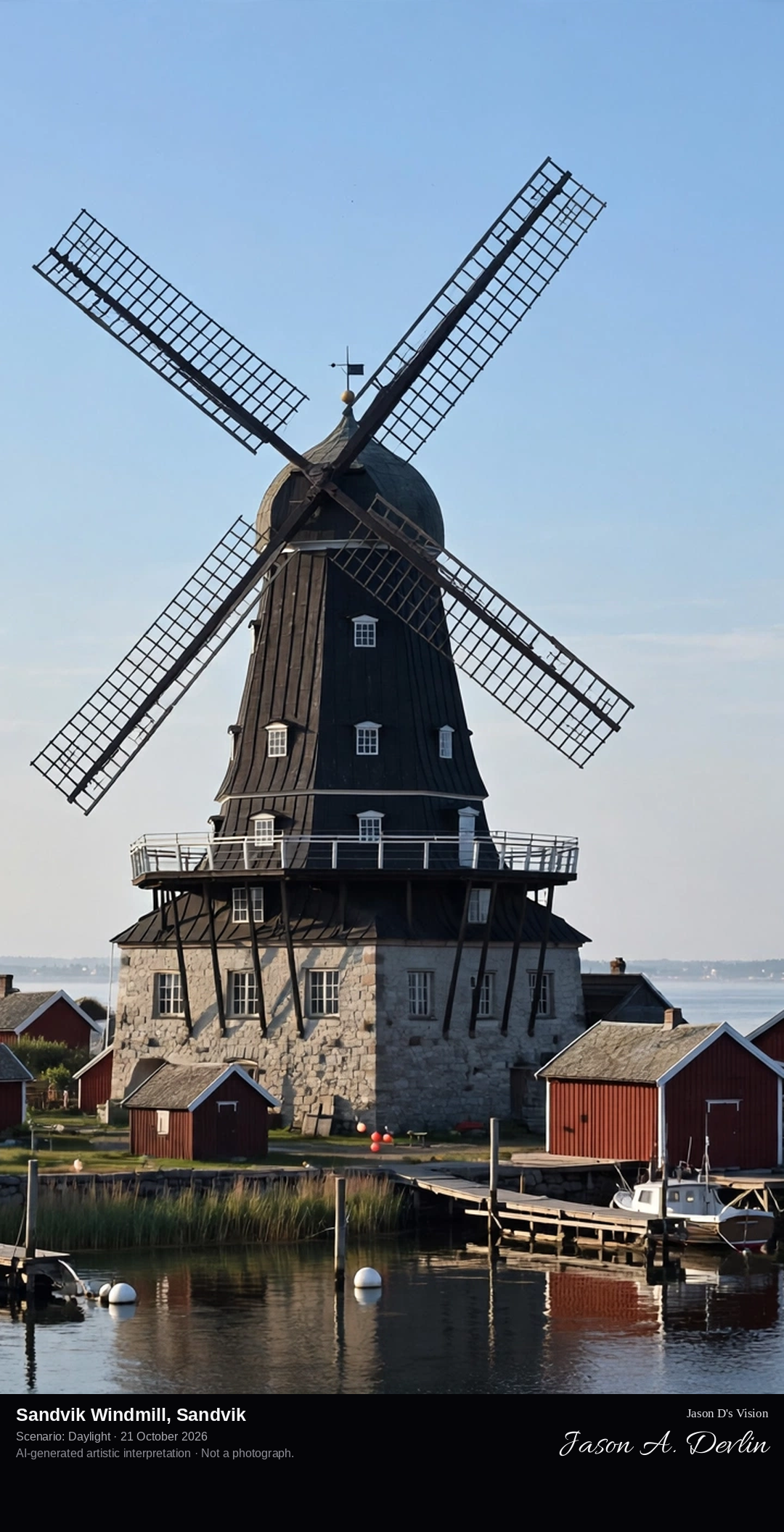
A full portrait of Sandviks Kvarn from the harbour side, the eight-storey tapered wooden smock mill on its two-storey base with all four long lattice sails complete and fully in frame, the guest harbour and Kalmar Strait beside it.
Sandvik is an old fishing community on Öland's west coast, long the centre of the island's stone industry, and its skyline is dominated by Sandviks Kvarn. The eight-storey smock mill, 26 metres tall with a sail span of 24 metres, is the largest windmill in Northern Europe. It was first built near Vimmerby in Småland in 1856, then dismantled and rebuilt at Sandvik in 1885 on a specially built two-storey base. The mill worked until the 1950s and is now preserved as a museum above the village's guest harbour.
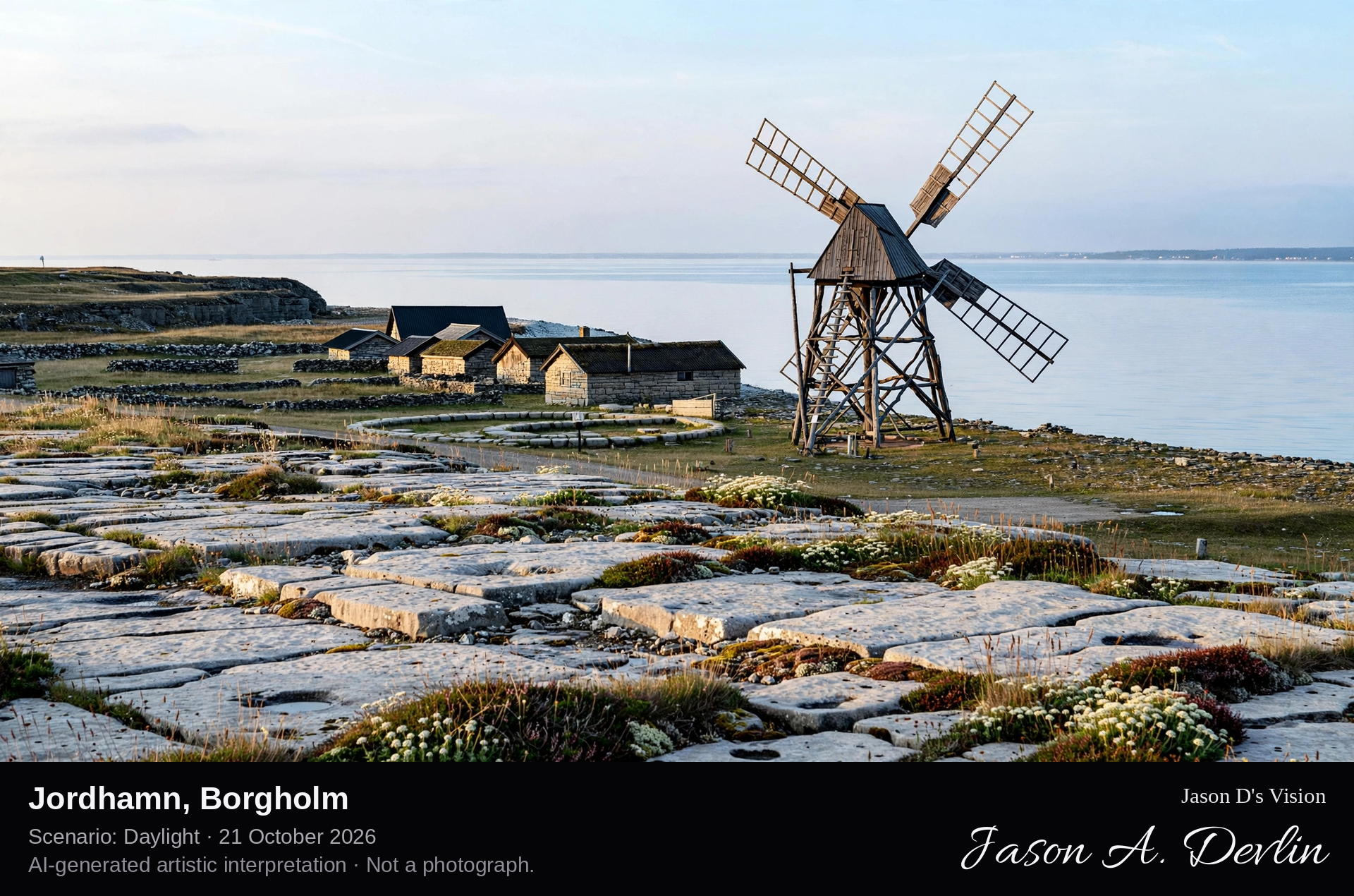
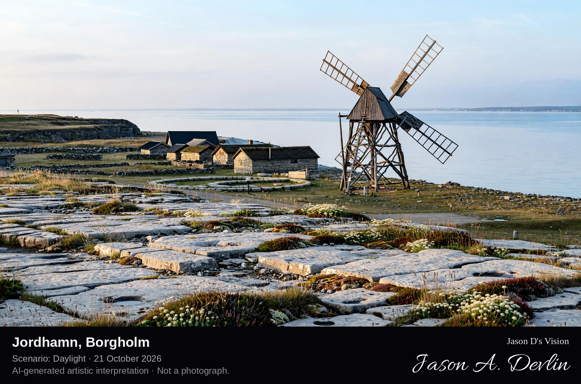
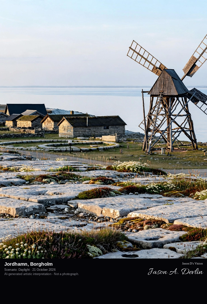
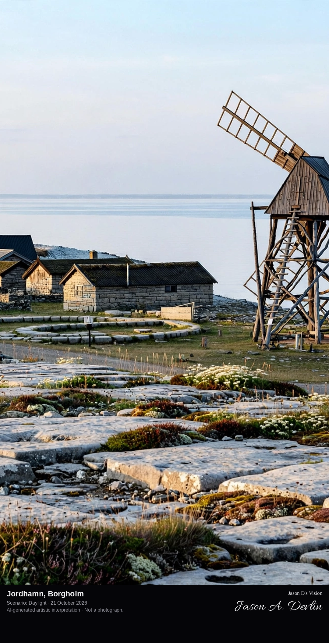
Looking down the flat limestone shore at Jordhamn toward the small wind-driven scrubbing mill (skurverk) and the row of low fishing huts beside it, the Kalmar Strait beyond.
Jordhamn is a small coastal settlement on Öland's north-western stone coast, where the island's limestone was cut, scrubbed and shipped. Its scrubbing mill, built in 1905, was wind-driven and used to scrub and polish limestone slabs; it is today the only mill of its kind in Sweden. Beside the mill stands a scouring walk, the ox-driven forerunner of the scrubbing mill, and a row of small fishing huts lines the flat shore. The view down the coast toward the mill and huts is counted among the finest on Öland.
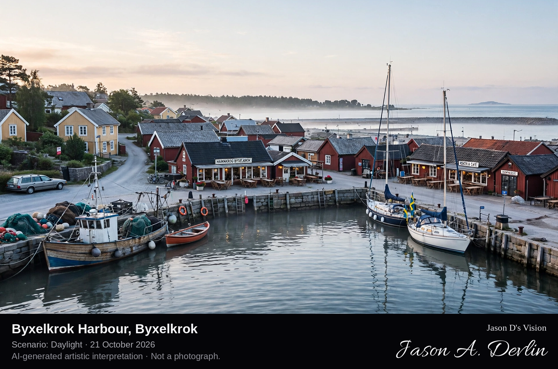
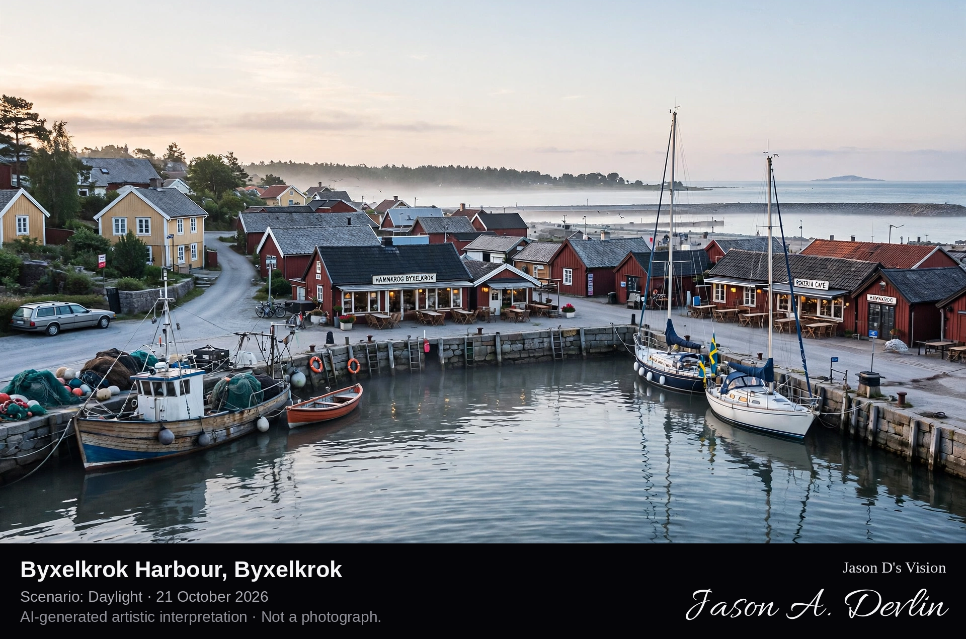
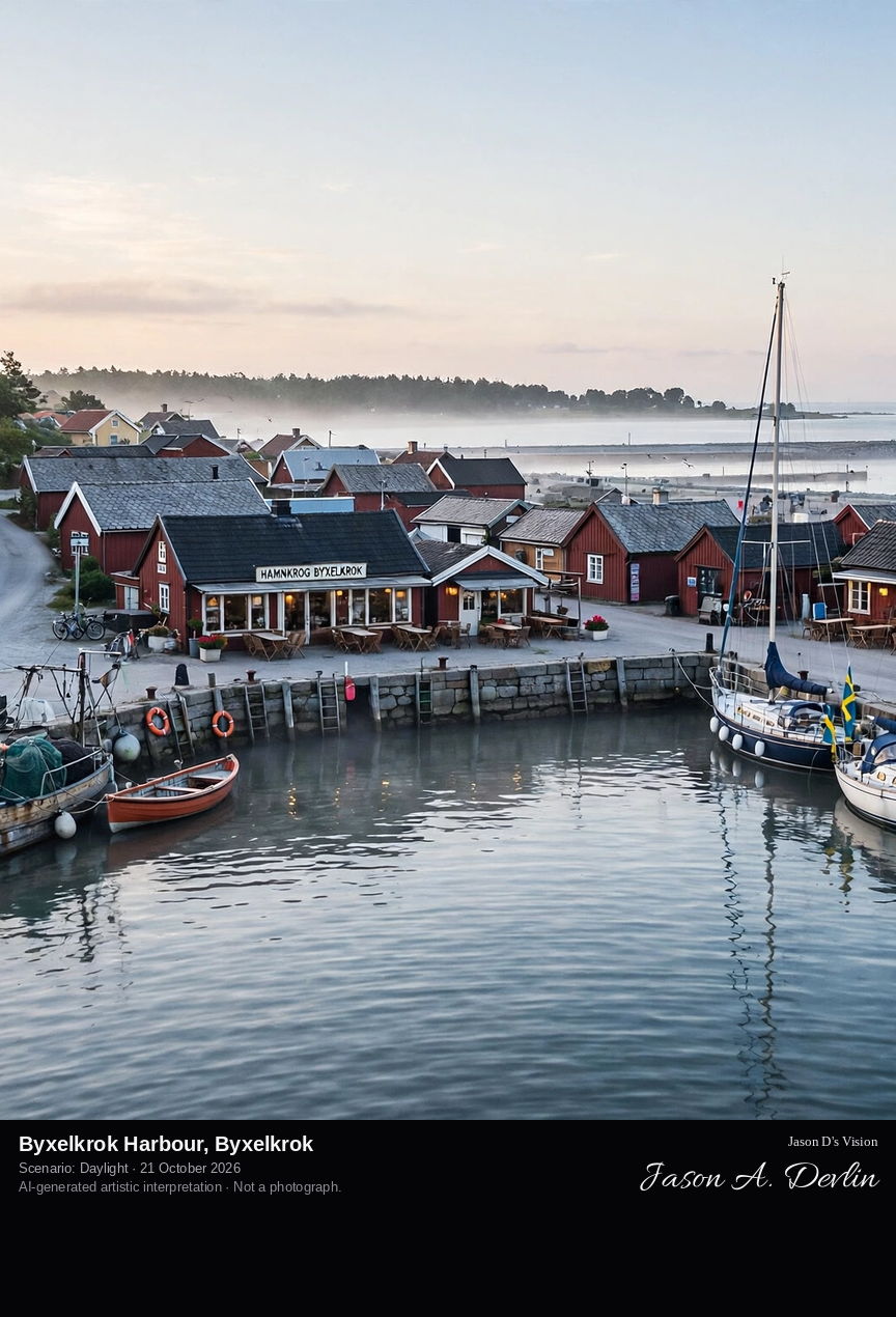
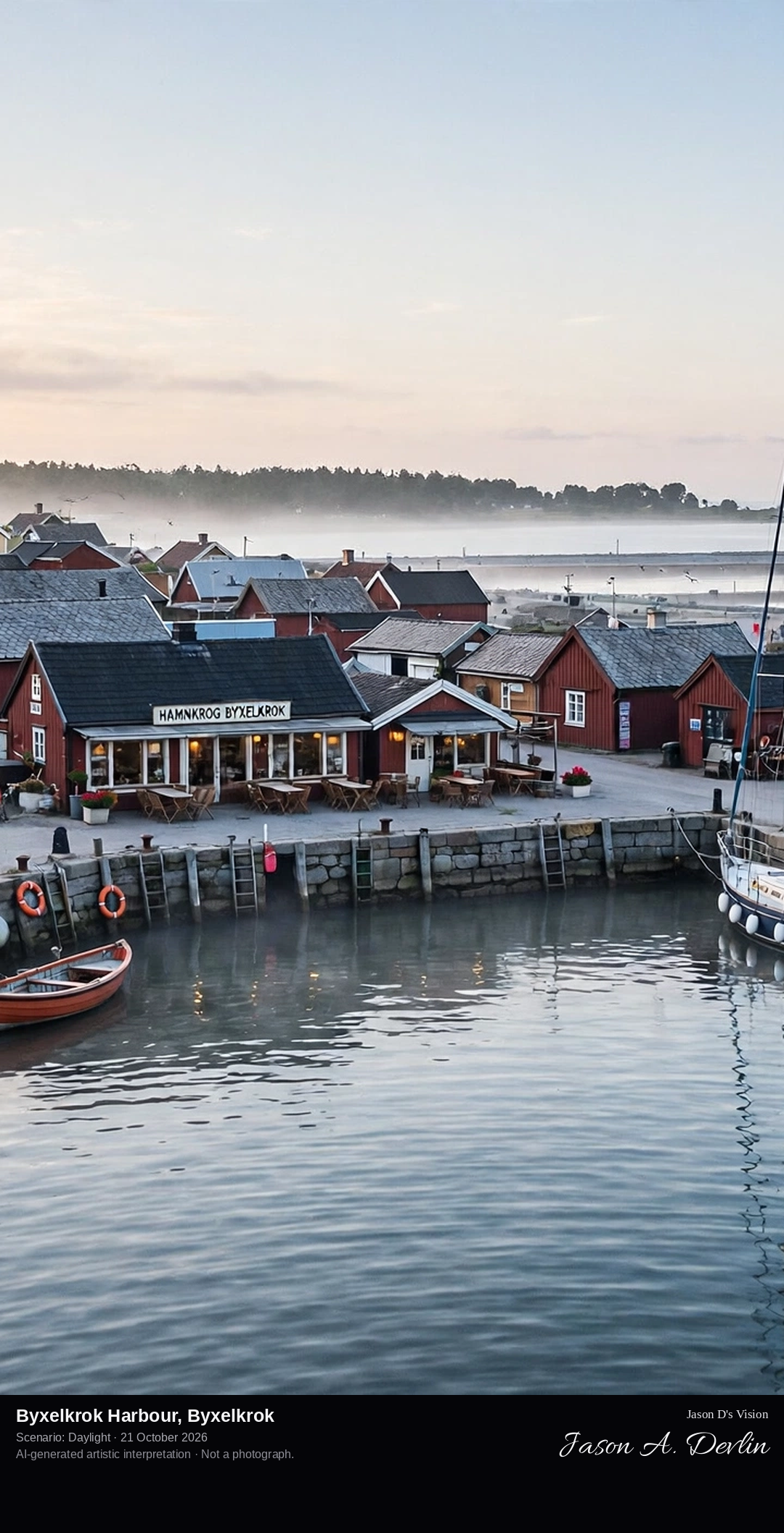
Across Byxelkrok's small harbour basin, with fishing boats and yachts at the quays, boathouses and restaurant buildings along the waterfront, and the open Kalmar Strait beyond the harbour mouth.
Byxelkrok is a picturesque fishing village at the northern end of Öland, where County Road 136 ends its long run up the island. Its small harbour is the village's heart, busy in summer with fishing boats, visiting yachts, restaurants and campsites nearby. In summer a ferry crosses to Oskarshamn on the mainland, and boats run out to the island of Blå Jungfrun in the Kalmar Strait. The name comes from Byskogskroken, the bend in the coast south toward the cape of Tokenäs, where there was once a Viking harbour.
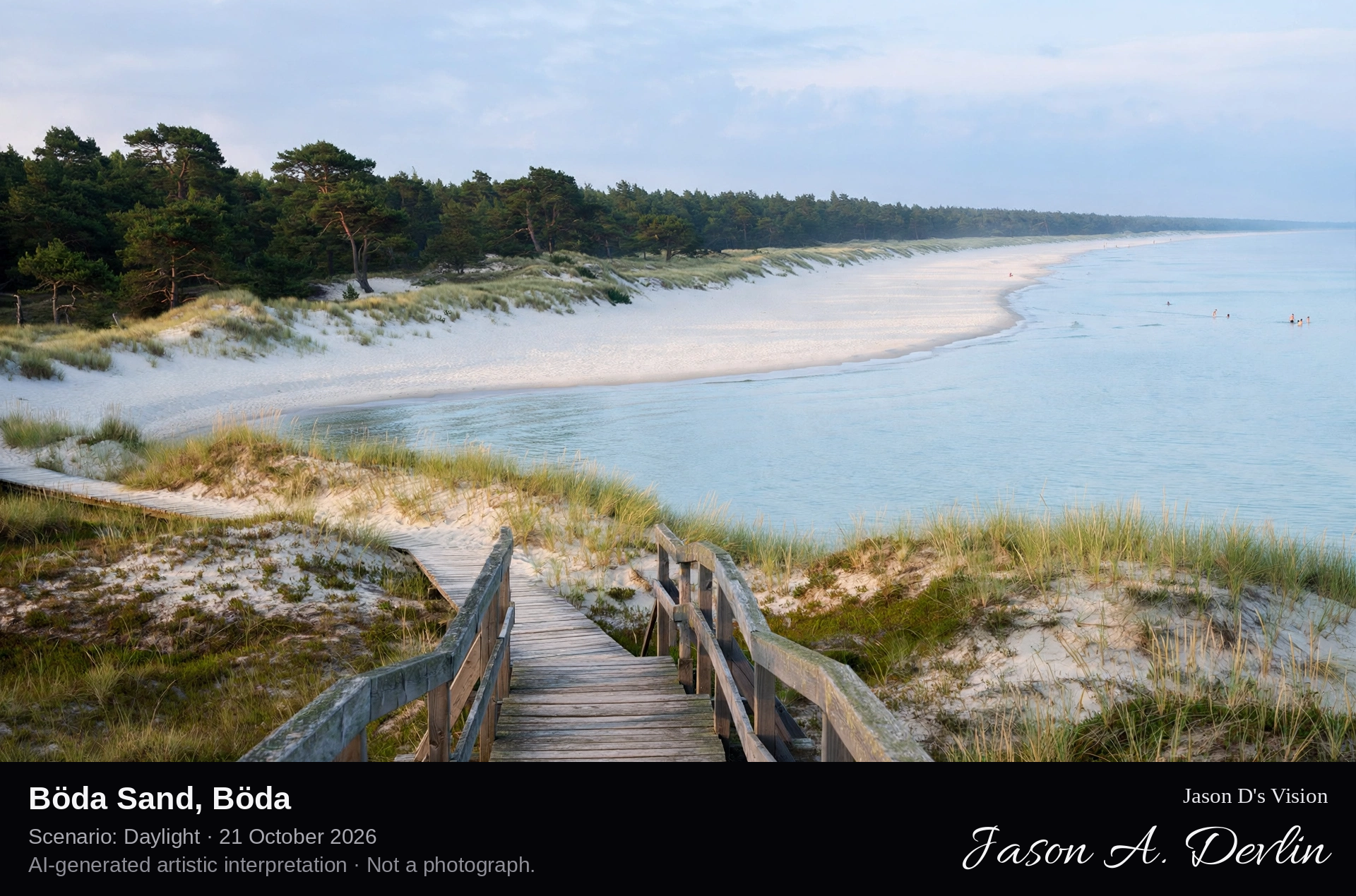
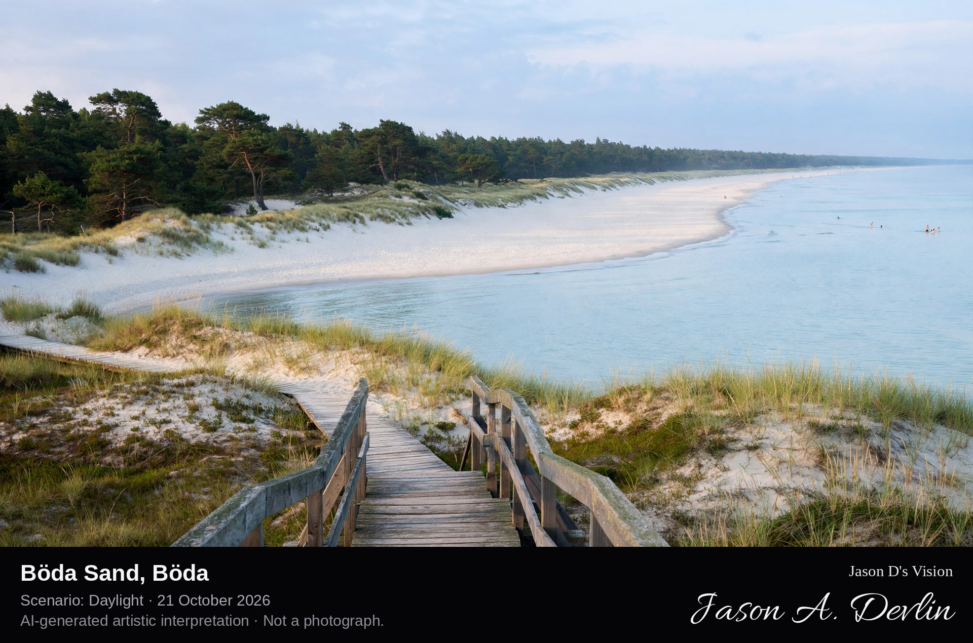
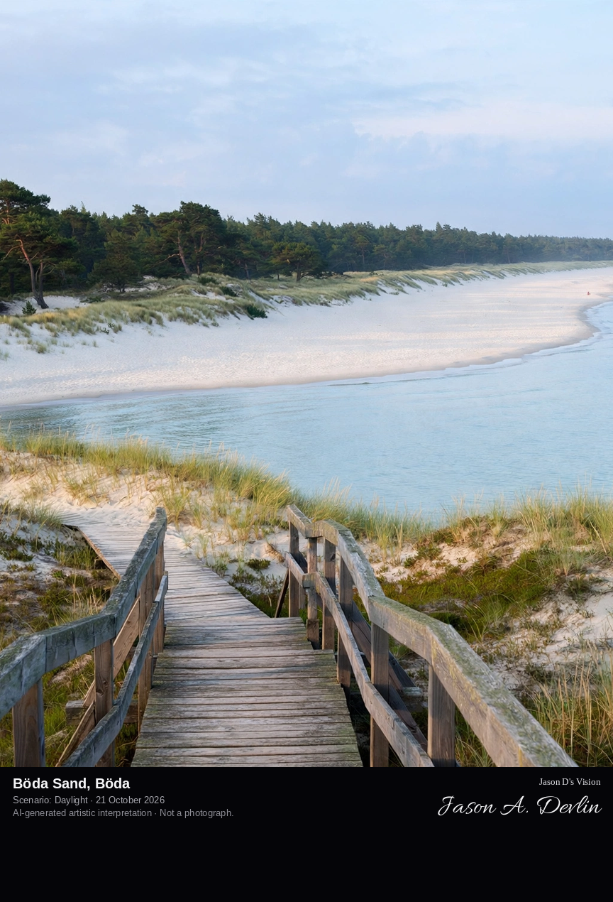
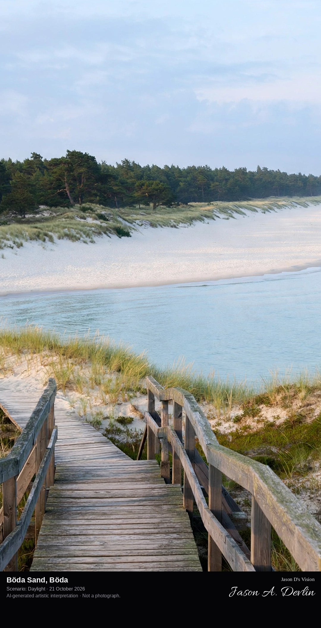
From the dune edge at Böda Sand, looking along the vast white sandy beach of Böda Bay, with wooden decking crossing the dunes, shallow turquoise water and pine forest behind the dunes.
Böda Sand lies on Öland's east coast in Böda Bay, and its beach runs for some 20 kilometres, making it the longest on the island and one of Sweden's most popular. The bathing places of Fagerör, Homrevet, Lyckesand and Böda Sand together form Bödabukten, sometimes called Öland's Riviera. The water is shallow and family-friendly, wooden decking leads over the dunes to the sand, and a north-flowing current constantly replenishes the bay with fresh white sand. Behind the dunes stand pine woods and the large Böda Sand beach resort and campsite.
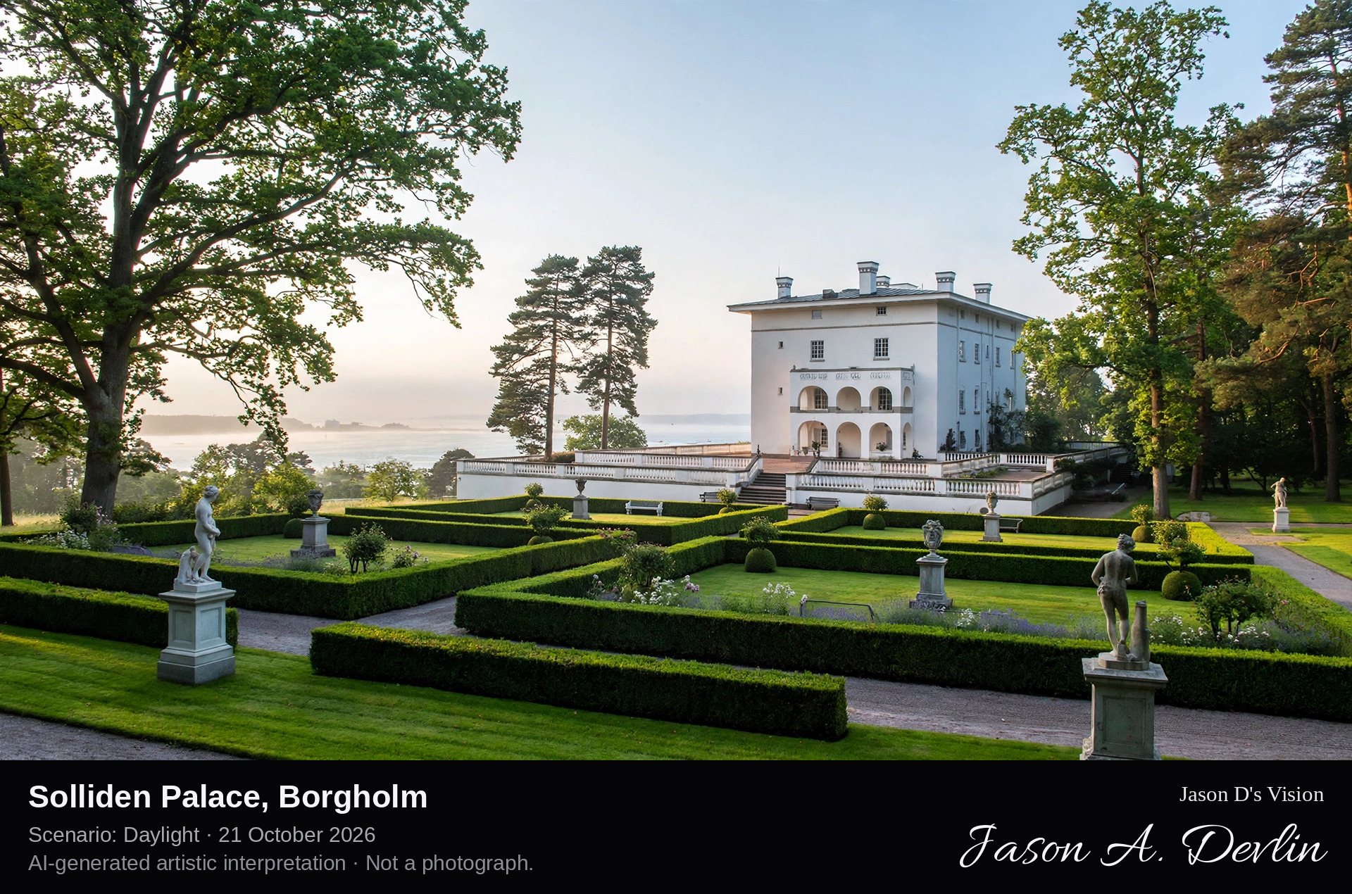
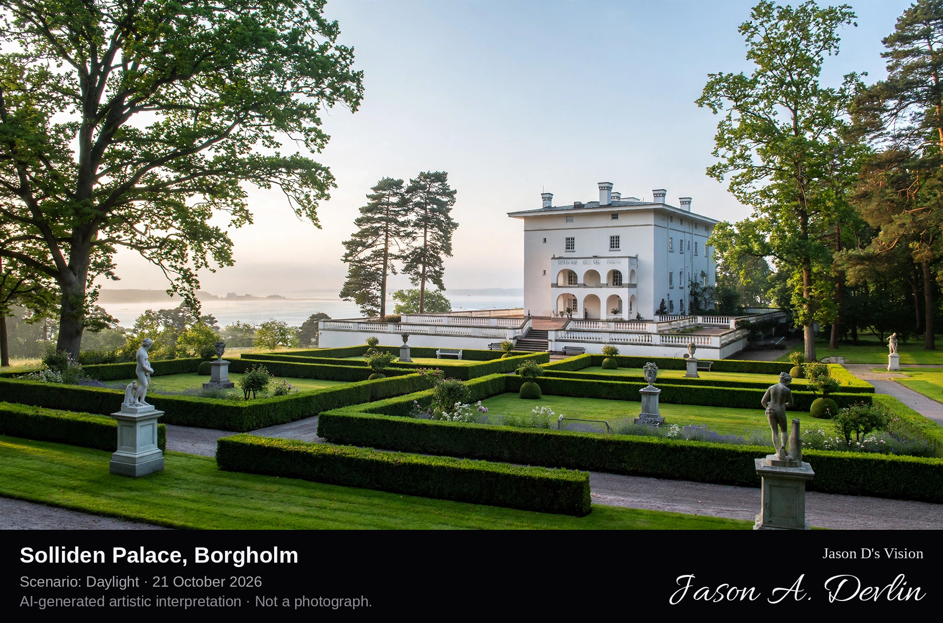
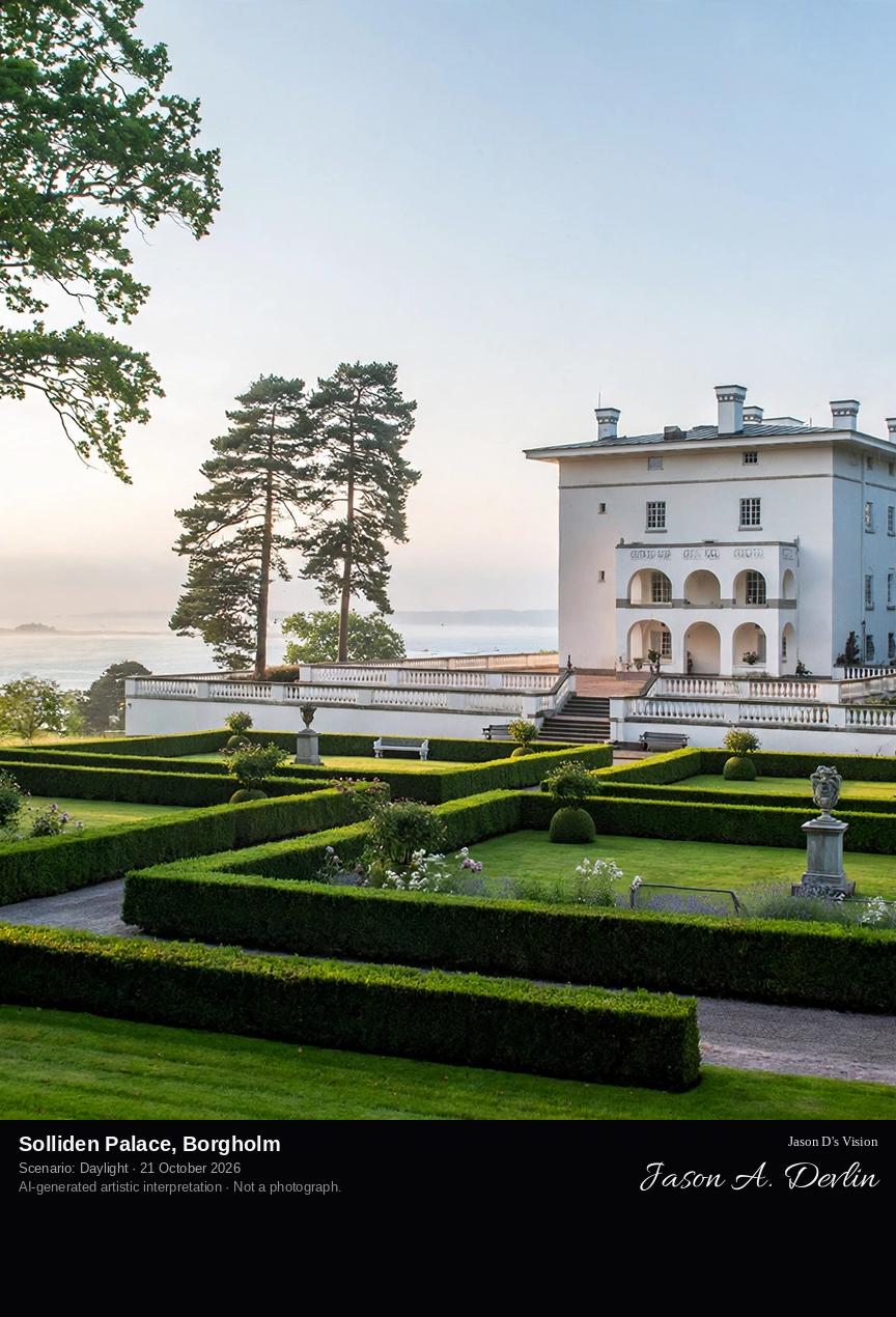
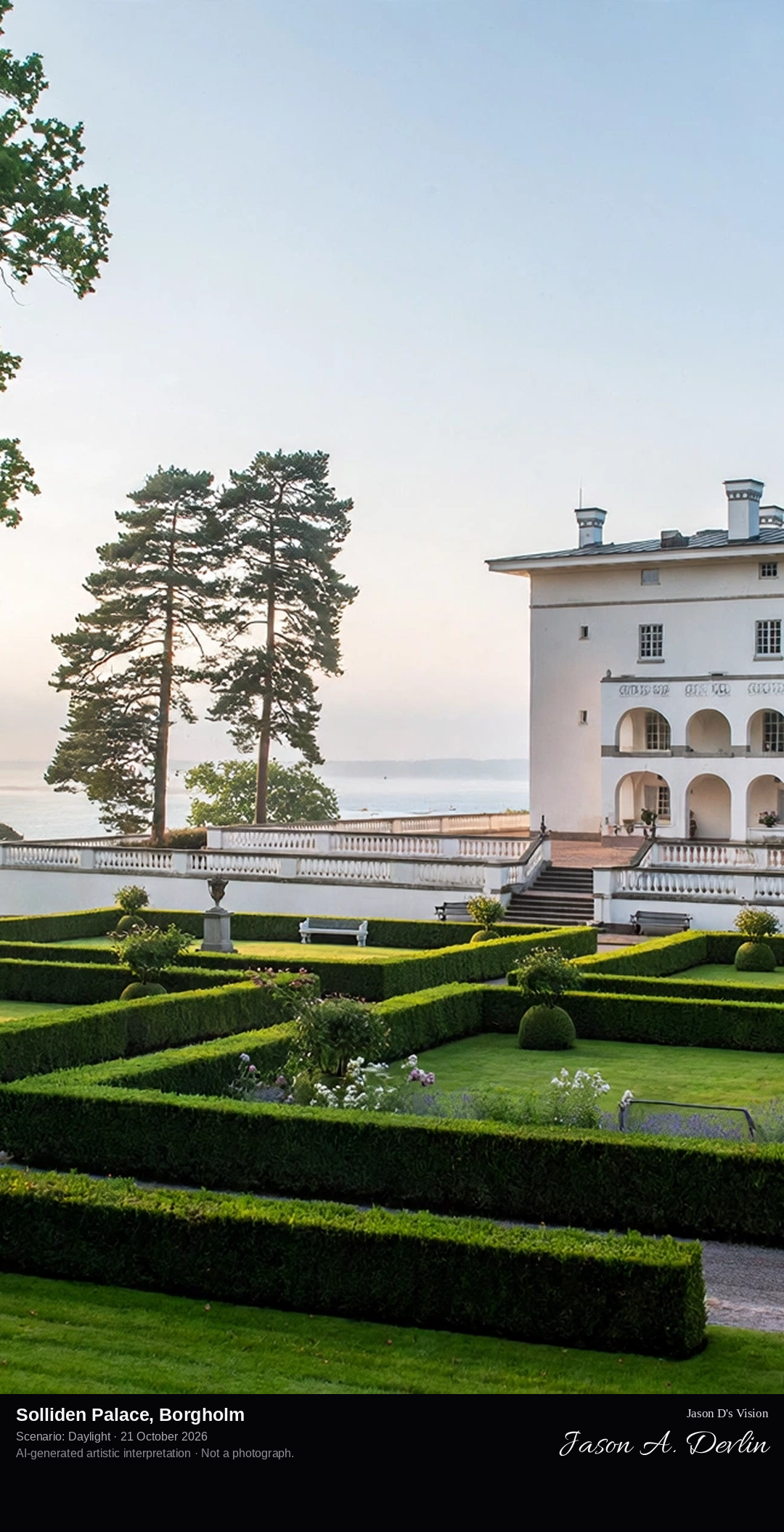
From the garden approach in Solliden's park, the gleaming white three-storey Italianate royal summer palace among lawns and trees, with the Italian garden in the foreground and the Kalmar Strait beyond — a white villa in a park, entirely distinct from the ruined stone Borgholm Castle nearby.
Solliden Palace, just south of Borgholm on Öland's west coast, is the Swedish Royal Family's summer residence — a white Italianate villa in a great park, not a castle ruin. It was built for the then Crown Princess Victoria and completed in 1906, designed by architect Torben Grut with inspiration from Axel Munthe's Villa San Michele on Capri; the Crown Princess, in poor health, found relief in Öland's dry climate. King Gustaf V opened the palace park to the public, and the present King, Carl XVI Gustaf, owns Solliden today. Visitors walk its Italian garden, rose garden and English park while the palace itself remains the family's private summer home.
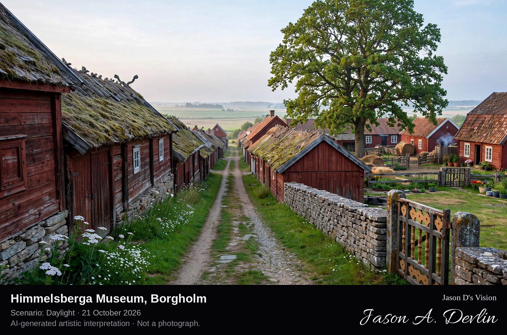
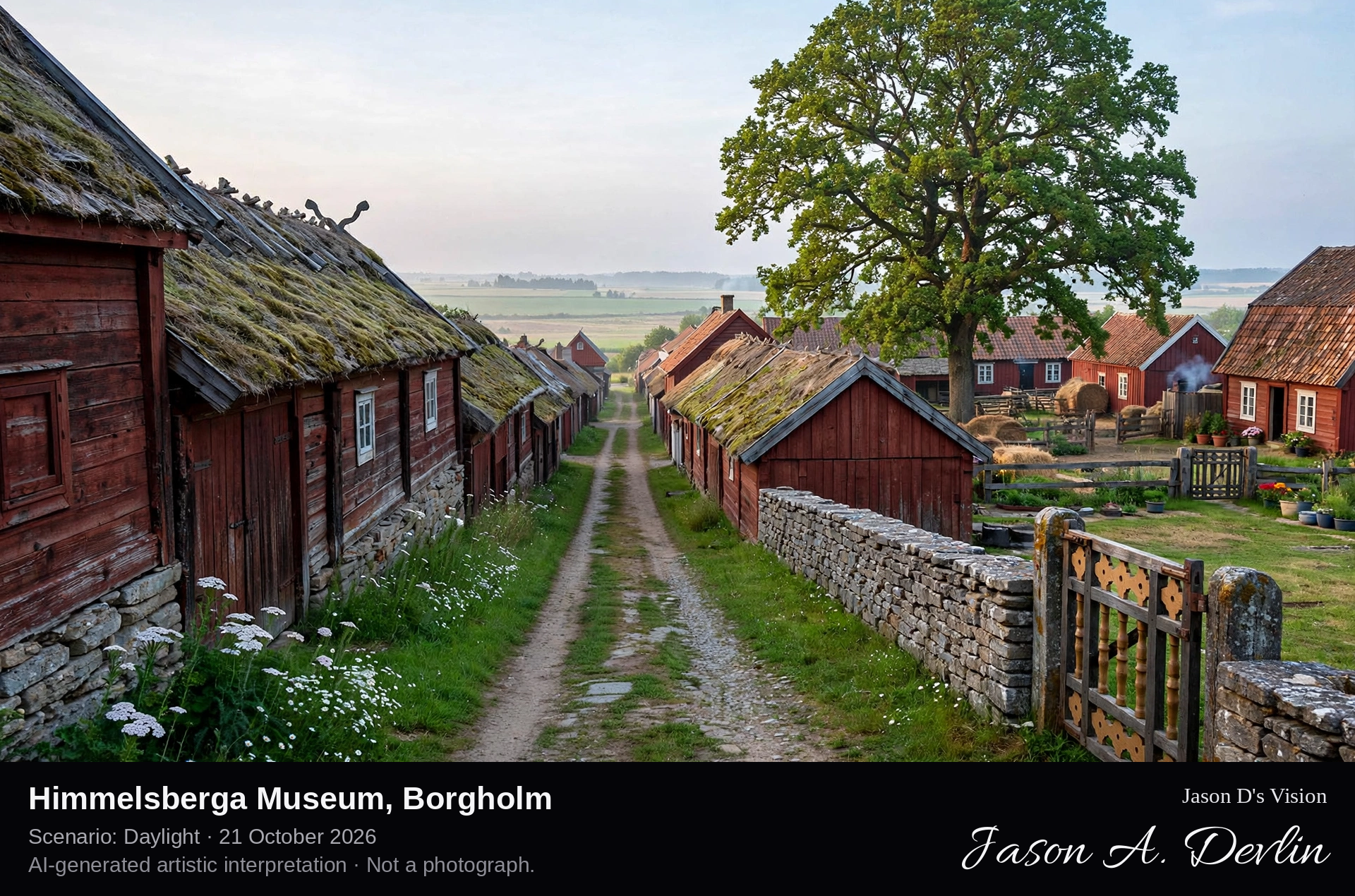
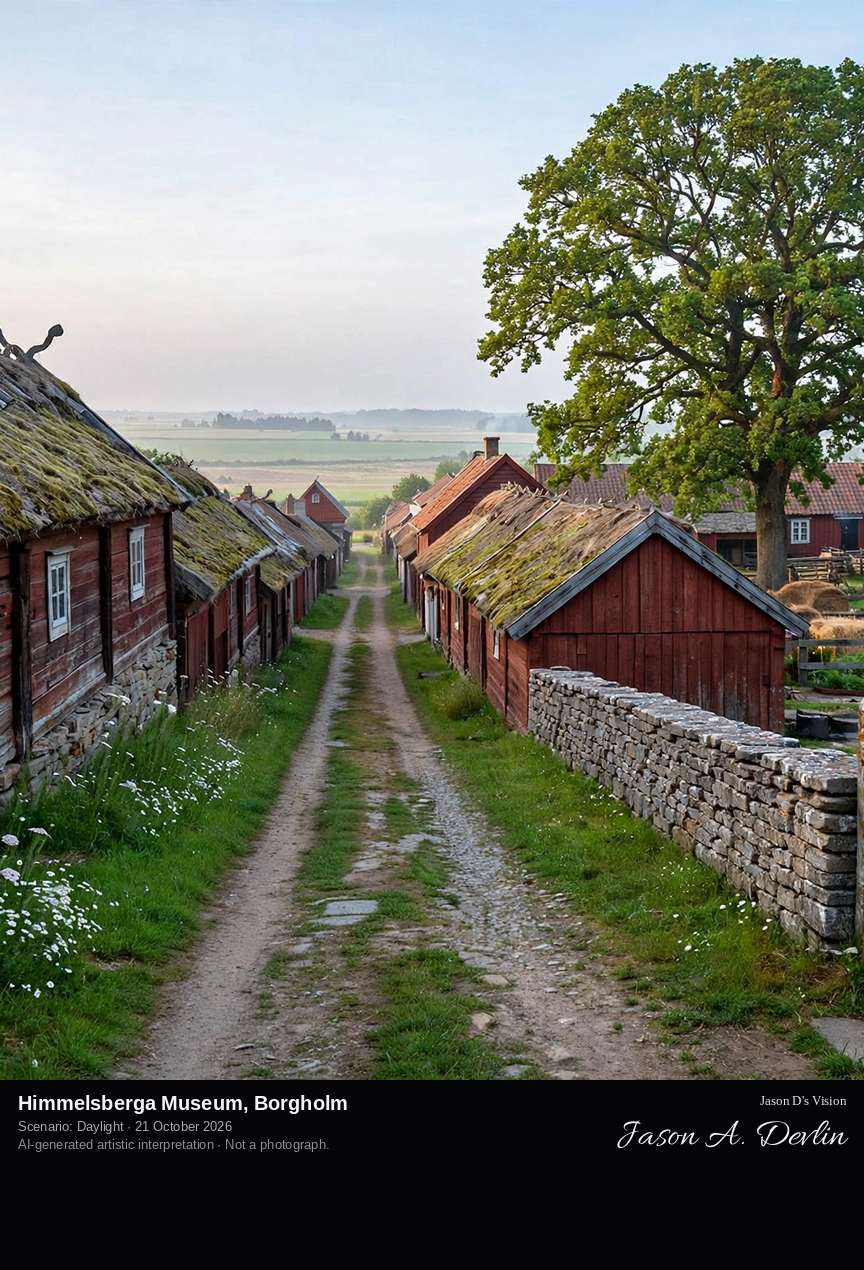
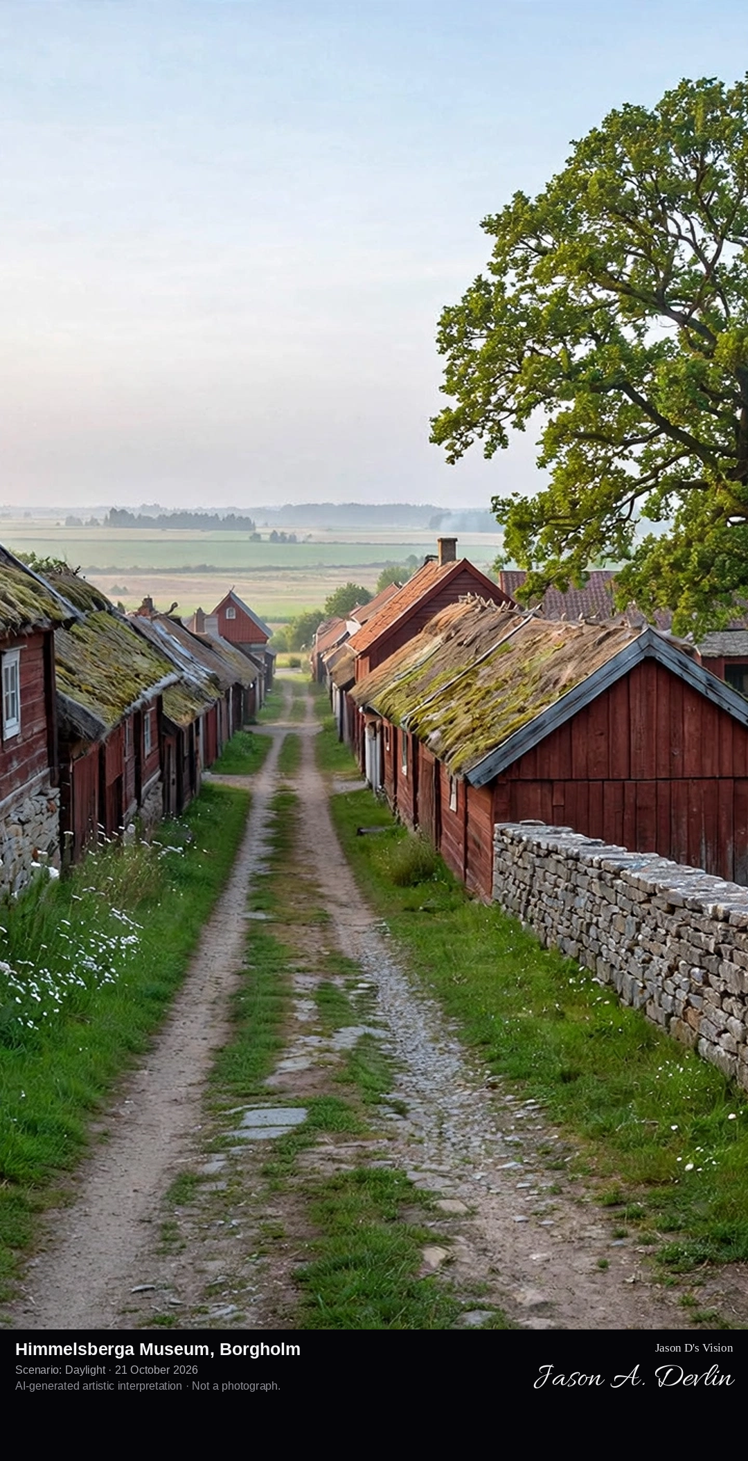
Along Himmelsberga's village street, the double row village of Öland Museum: barn ranges lining both sides of the lane, with the enclosed farm courtyards and dwelling houses behind them and a great guardian tree over one farmyard.
Himmelsberga, on eastern Öland, is a double row village preserved as Ölands Museum Himmelsberga: barn ranges line both sides of the little village street, and the dwelling houses stand further in, on enclosed courtyards. The farms hold houses and interiors from the 18th and 19th centuries, furnished and equipped for the self-sufficient life of the Öland countryside. The museum, developed since 1959 and run by Ölands Hembygdsförbund, keeps old farm breeds in the pastures — goats, sheep and pigs — and grows older cultivated plants in its gardens. A great guardian tree, the vårdträd, stands before the Karl-Olsgården farm.
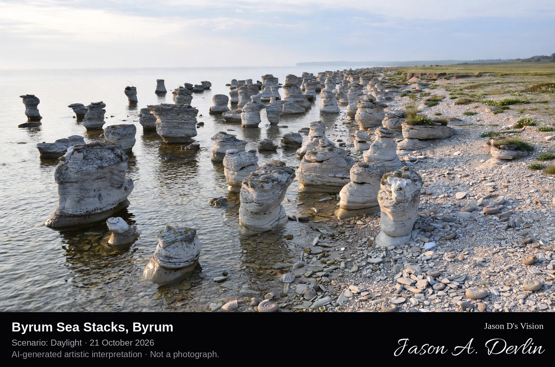
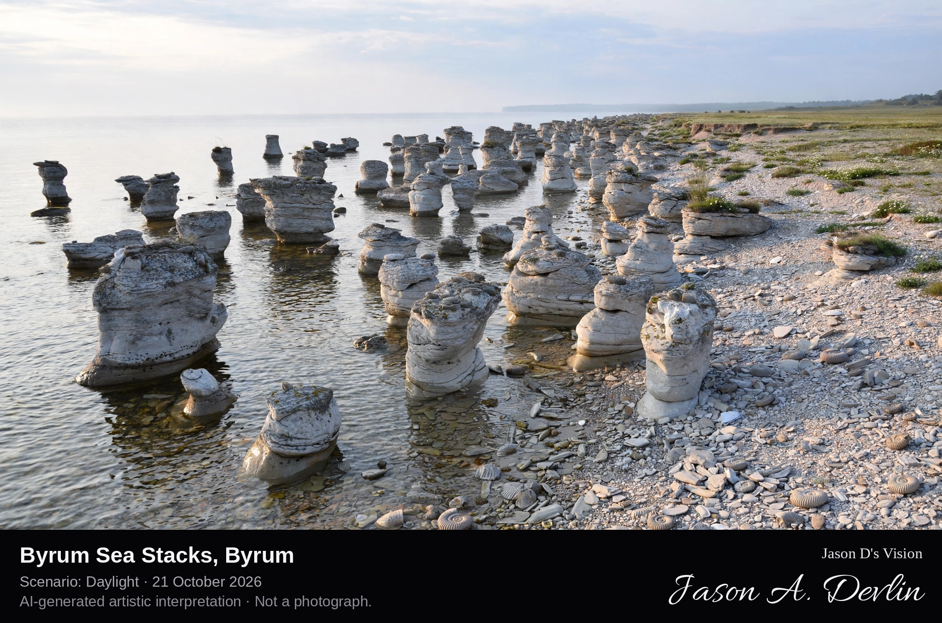
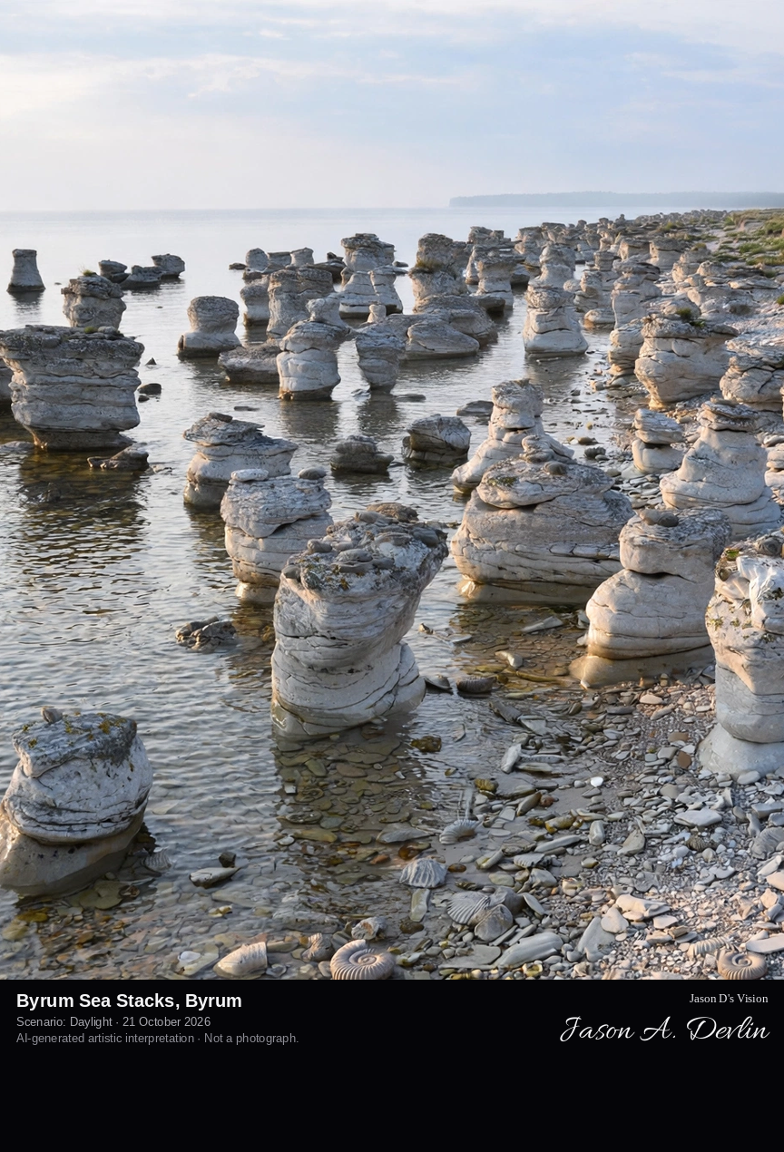
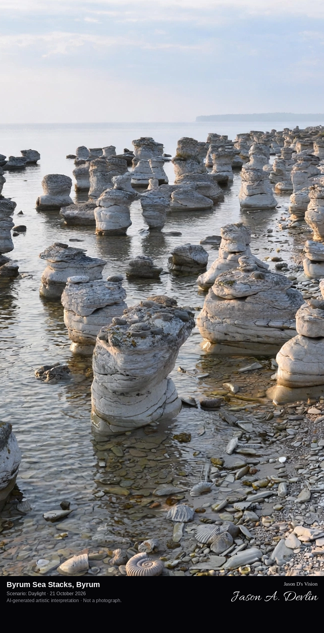
Along the shingle shore at Byrum: a loose field of pale, fossil-rich limestone raukar, none more than about four metres high, standing on the beach and in the shallows of the Kalmar Strait.
Byrums raukar stand on the west coast of northern Öland, just south of the village of Byrum. About 120 limestone stacks, the tallest around four metres, are spread along some 600 metres of shingle beach in a nature reserve of about three hectares, protected since 1935. The limestone grew from a coral reef in a tropical sea some 490 million years ago and is rich in fossils, including the straight-shelled orthocerids that helped build the reef. Raukar occur only on the Swedish Baltic islands, and Byrum is the only rauk field on Öland.
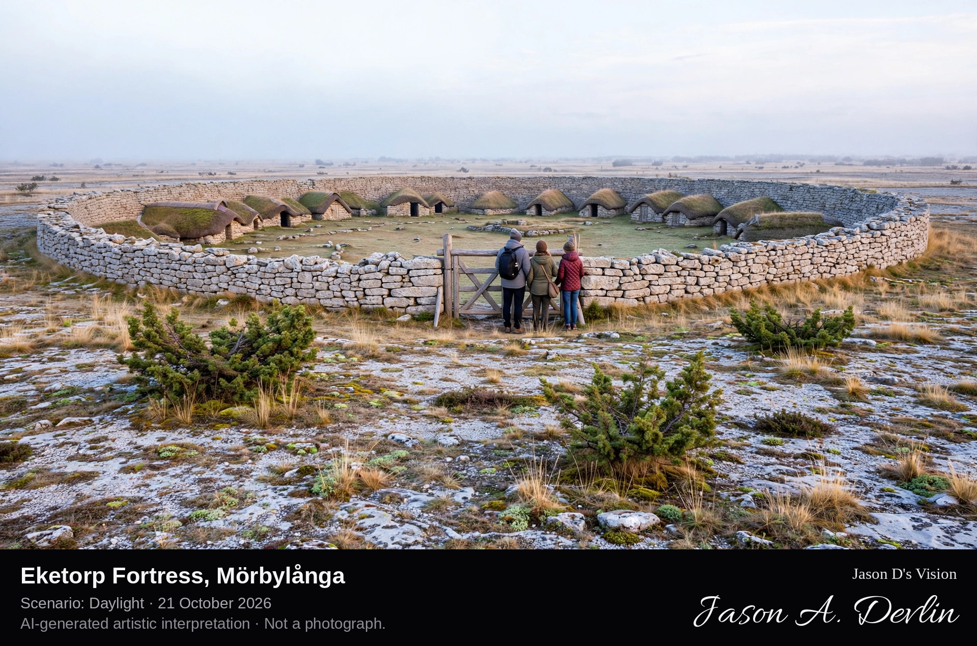
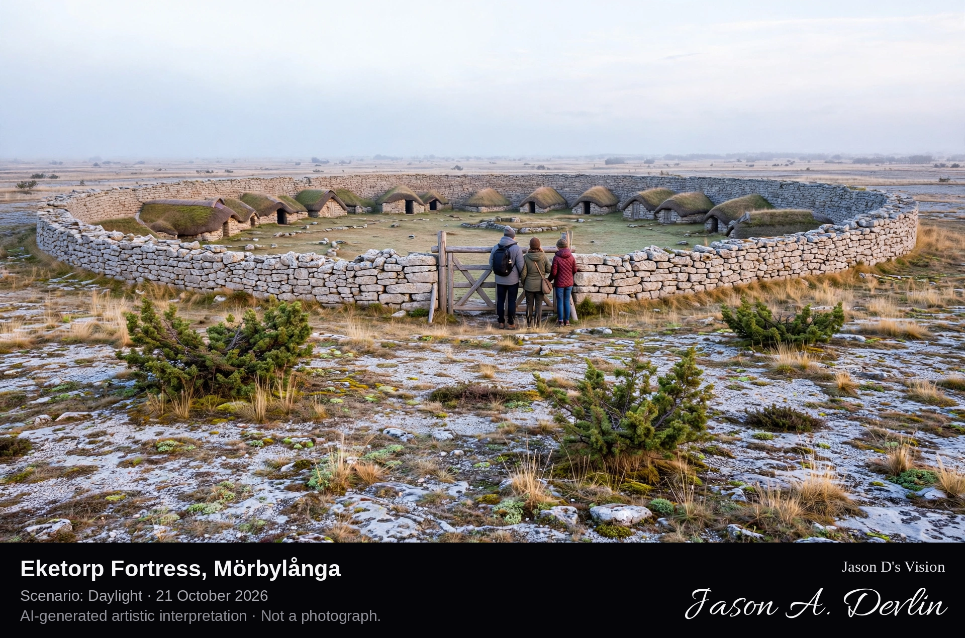
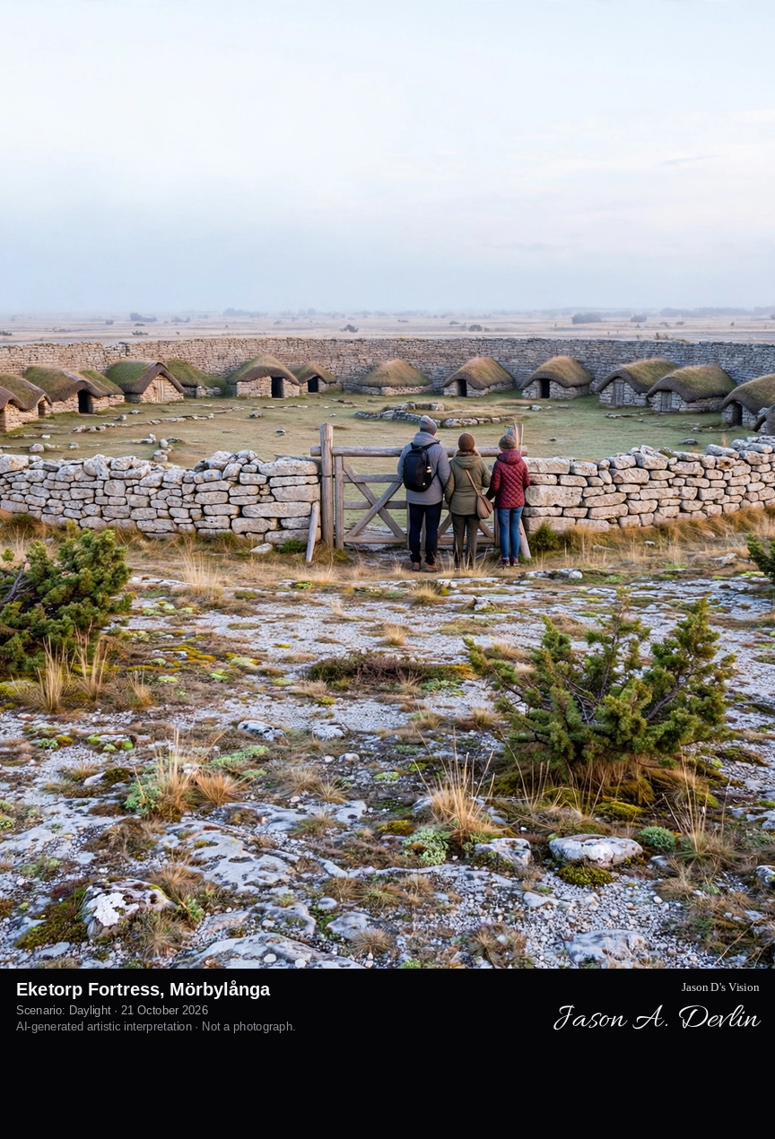
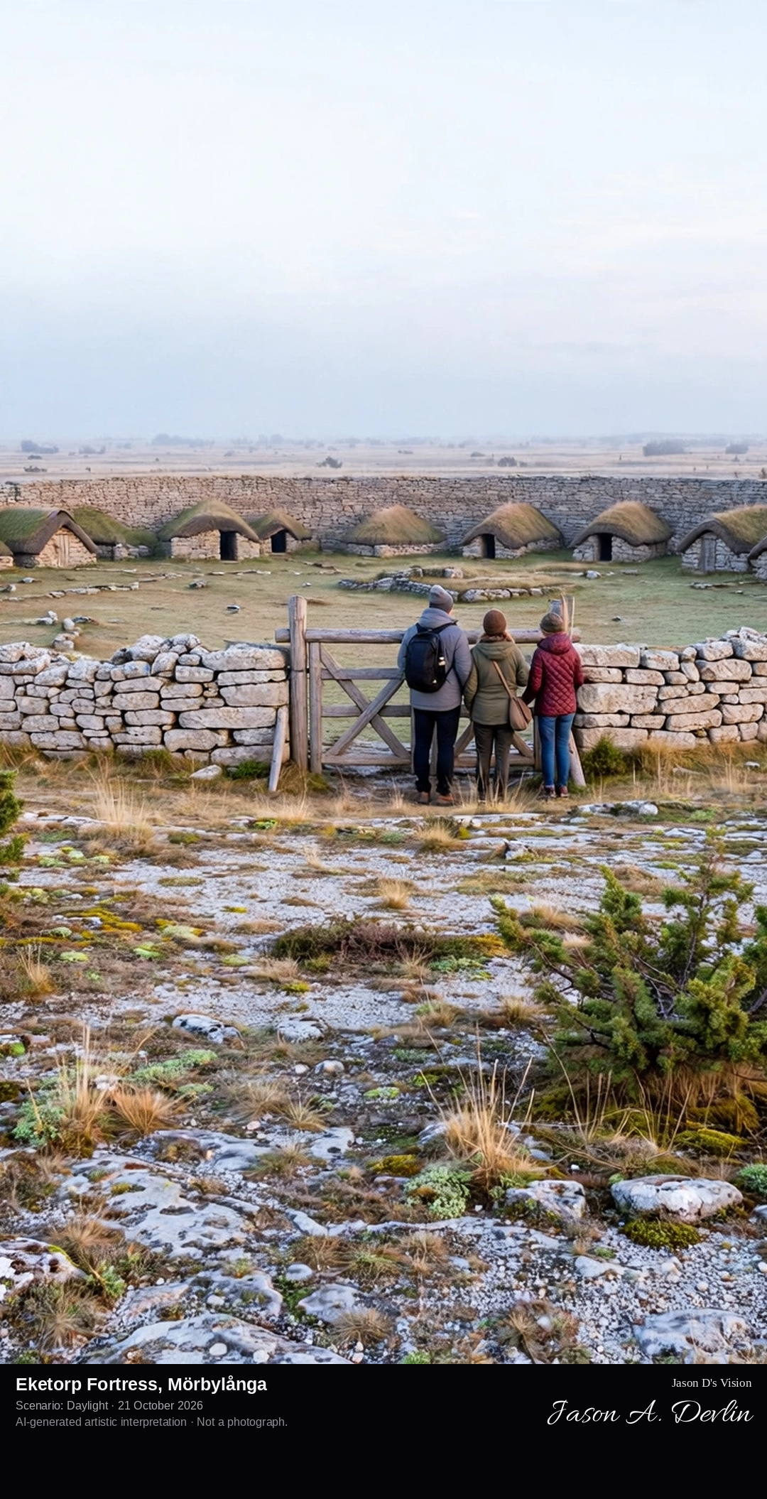
Across the flat alvar toward Eketorp's circular limestone ring wall and gate: a reconstructed Iron Age ring fort, its stone houses ranged inside the wall, standing alone on the open limestone plain of southern Öland.
Eketorp, on the Stora Alvaret in southern Öland, is the only one of Öland's Iron Age ring forts to have been completely excavated, between 1964 and 1974, and then reconstructed: its ring wall and houses were rebuilt directly on the ancient foundations, and the museum was inaugurated in 1984. The fort had three lives: Eketorp I, a refuge of about AD 300-400; Eketorp II, a fortified farming village of AD 400-650, some 80 metres across with 53 stone buildings; and Eketorp III, a medieval garrison of about 1170-1240. The reconstruction shows the second phase. The well at the centre, noted by Linnaeus in 1741, still gives water, and the excavations produced some 26,000 finds.
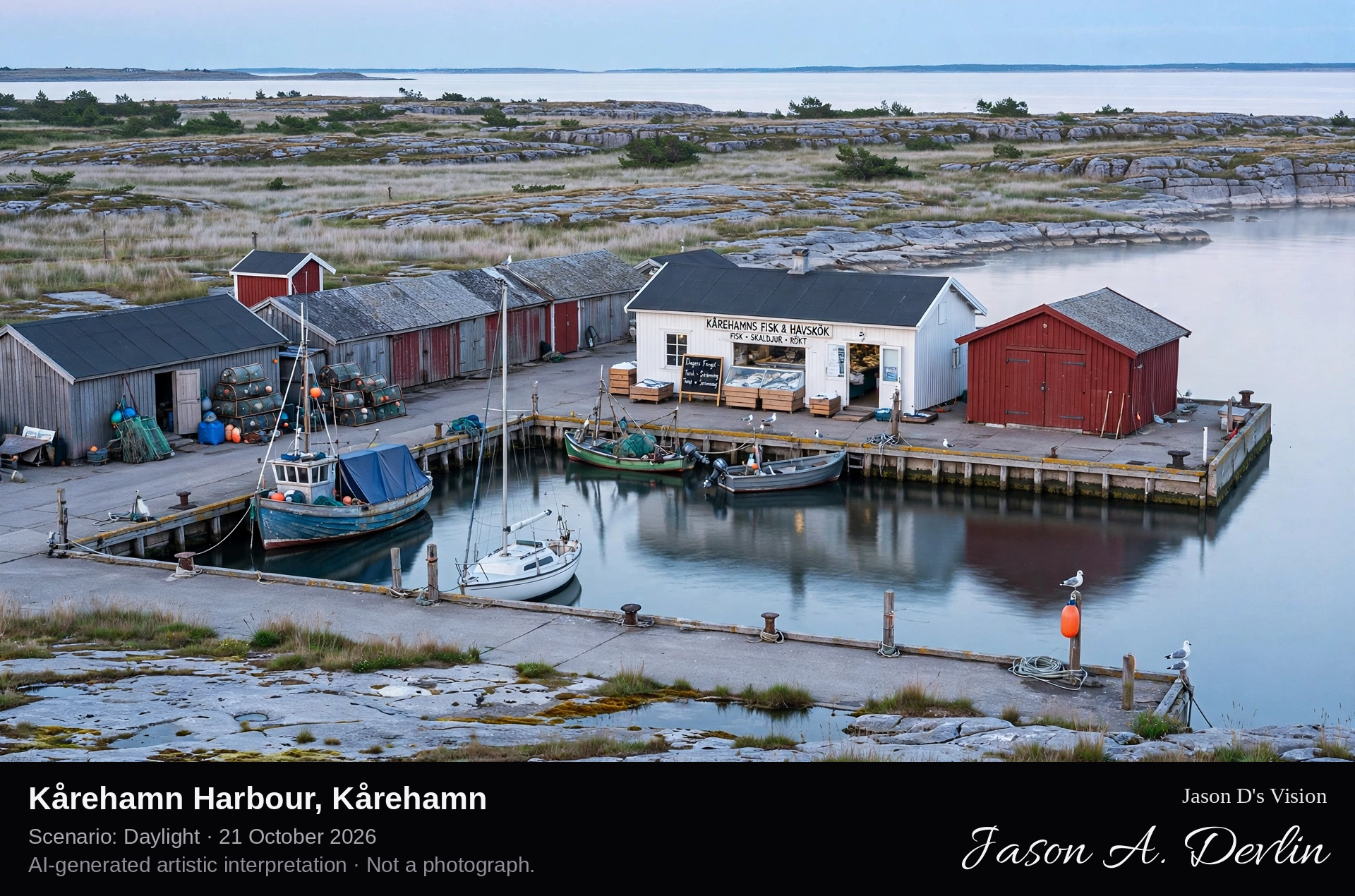
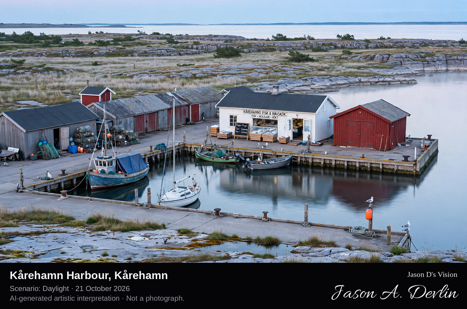
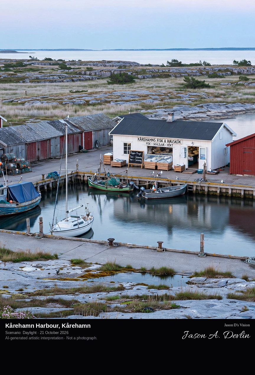
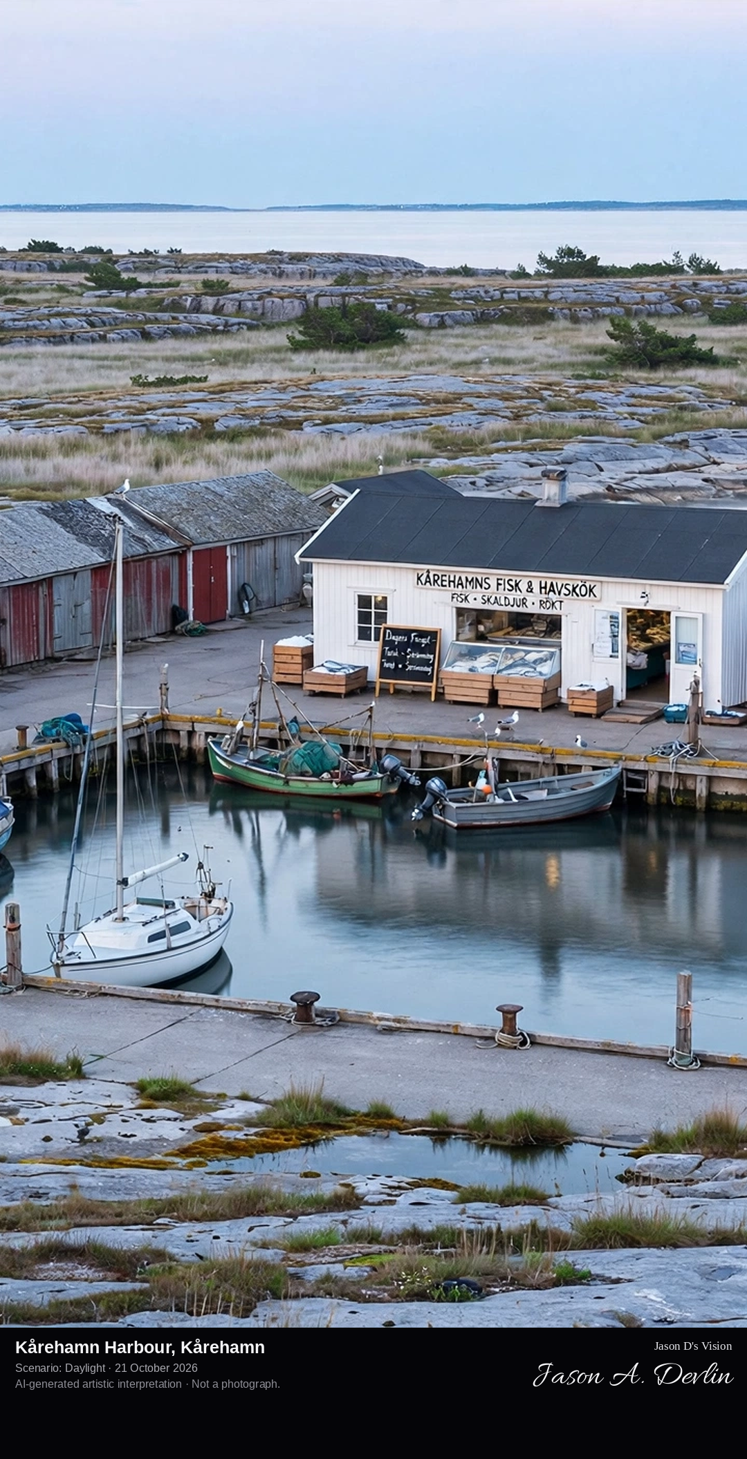
Across the small harbour basin at Kårehamn: fishing boats at a concrete jetty, boathouses and the fish shop on the quay, where Öland's flat limestone coast meets the open Baltic.
Kårehamn is a small fishing village and harbour on the north-east coast of Öland, near Köpingsvik, where the island's flat alvar limestone landscape meets the Baltic Sea. Its harbour, with a rectangular concrete jetty and sheltered basins, serves the village's fishing boats as well as visiting yachts, and is known among Baltic sailors as the one harbour on Öland's east coast that can be entered day and night in any weather. On the quay, Kårehamns Fisk & Havskök runs a fish shop and restaurant serving the local catch, smoked and fresh, out on the dock. The village itself is tiny, a scattering of houses behind the harbour.
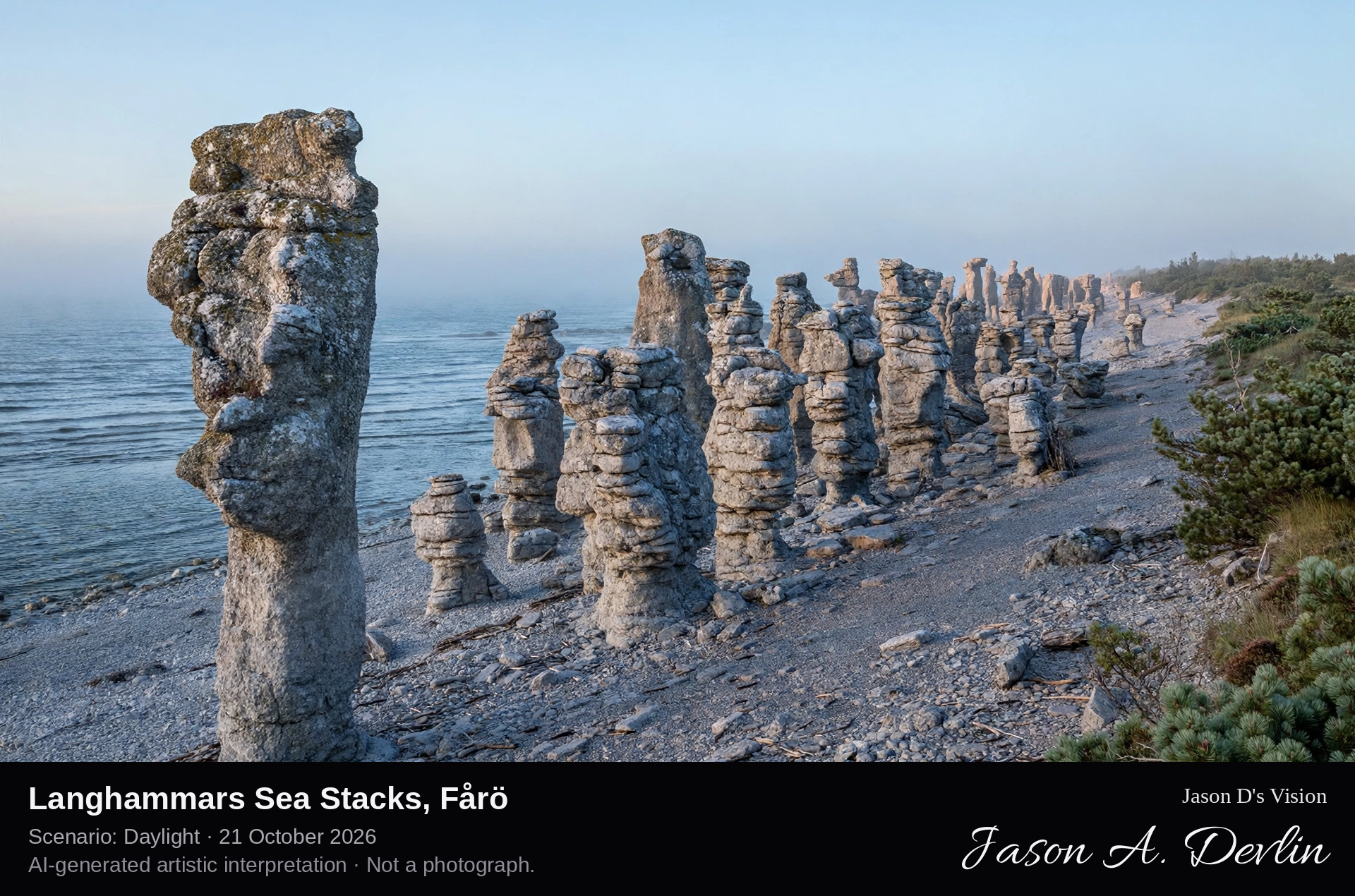
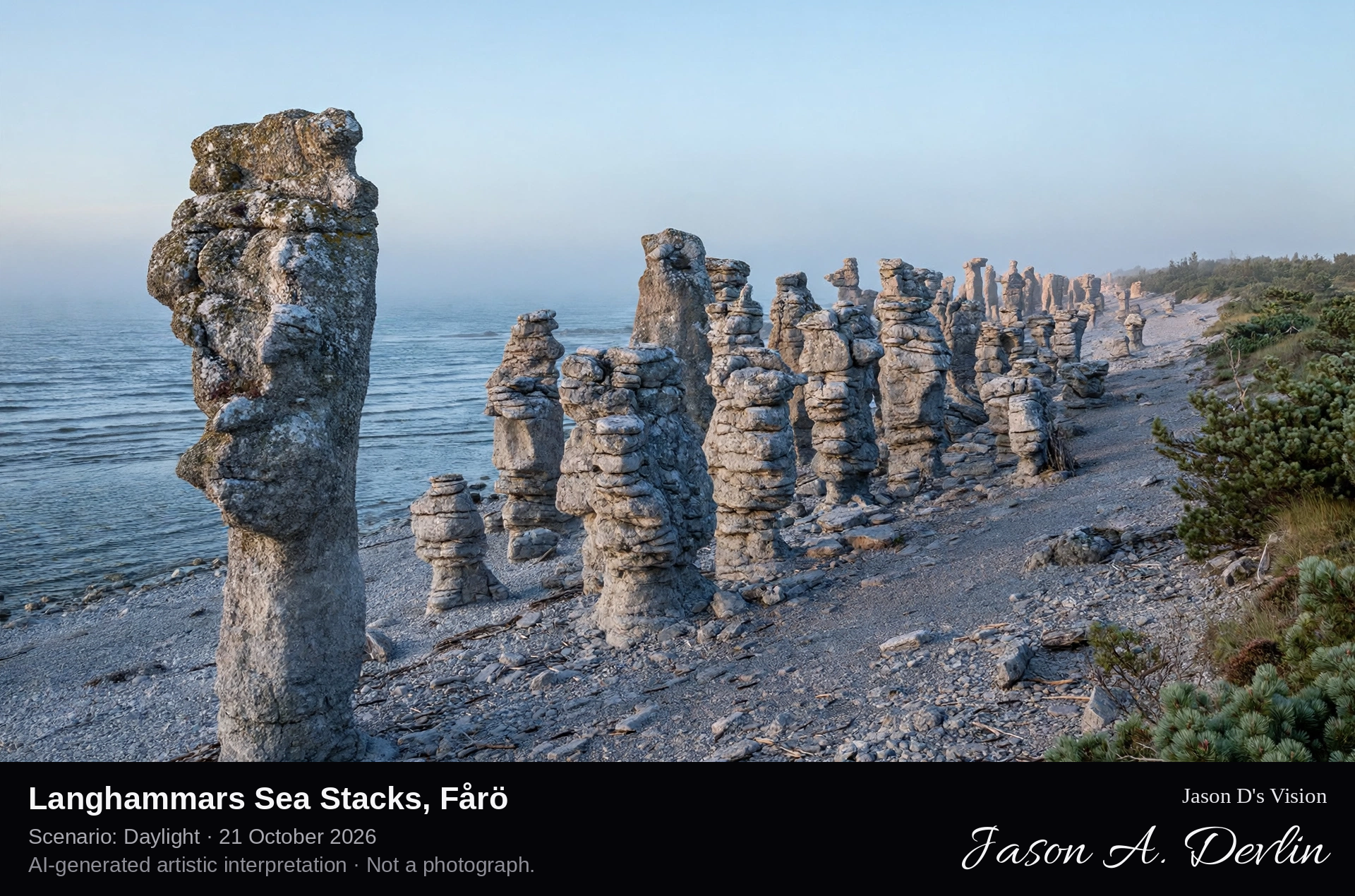
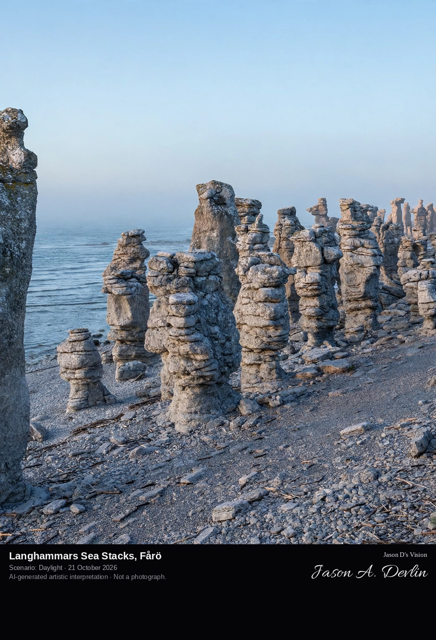
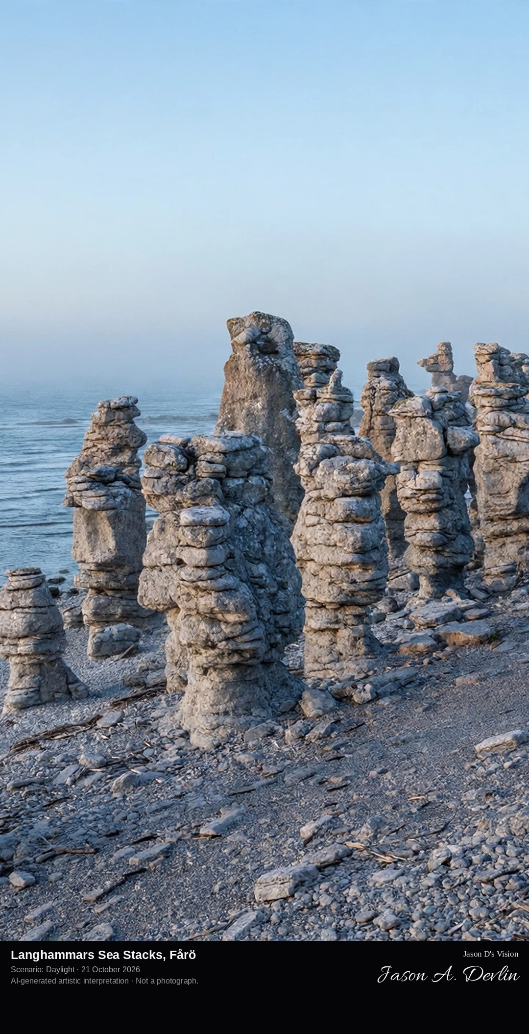
Among the clustered raukar of Langhammars: a dense group of tall, sculpted limestone pillars — the famous clustered field of the reserve — rising from the pebble shore of Fårö's north-west coast against the sea.
Langhammars is a nature reserve on the Langhammar peninsula on the north-west coast of Fårö, the small island just north of Gotland. Its rauk field holds around fifty free-standing limestone pillars, between about four and ten metres high, clustered along a pebble shore between the bays of Aursviken and Tällevika. Among them stands Langhammarsgubben, a stack said to resemble a face in profile. The pillars are the harder cores of a Silurian tropical reef, left standing as the sea eroded the softer limestone around them after the last Ice Age. After Digerhuvud, it is the best-known rauk field on Fårö.
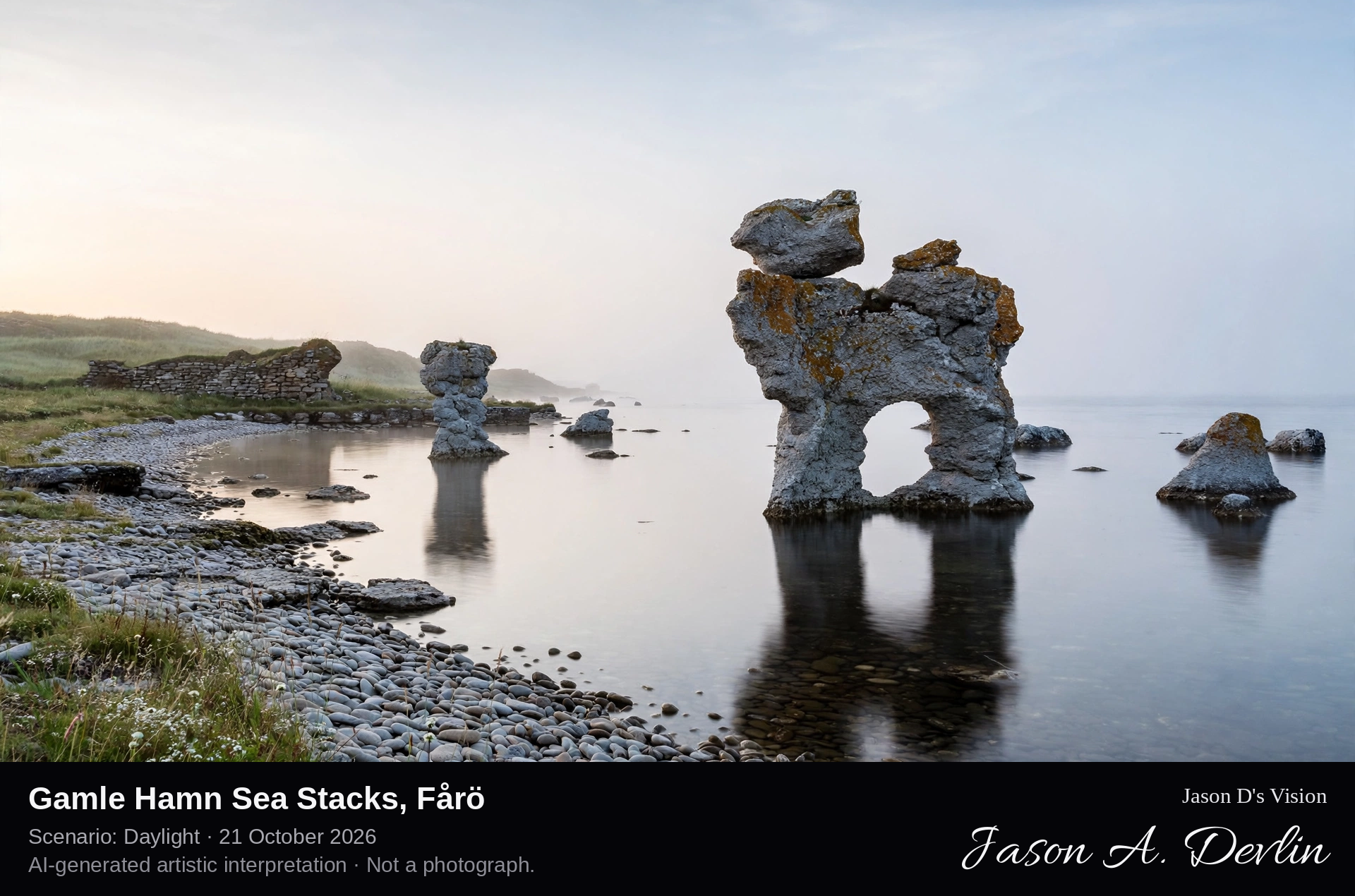
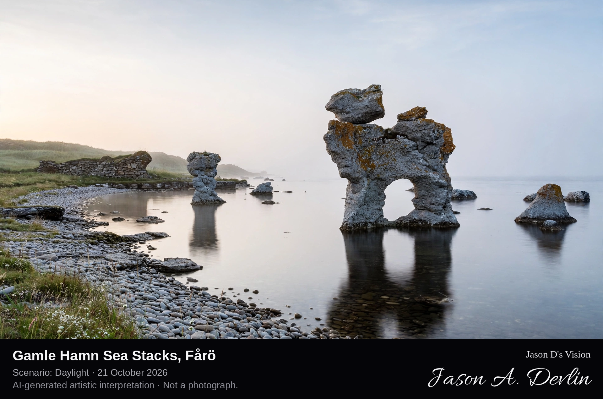
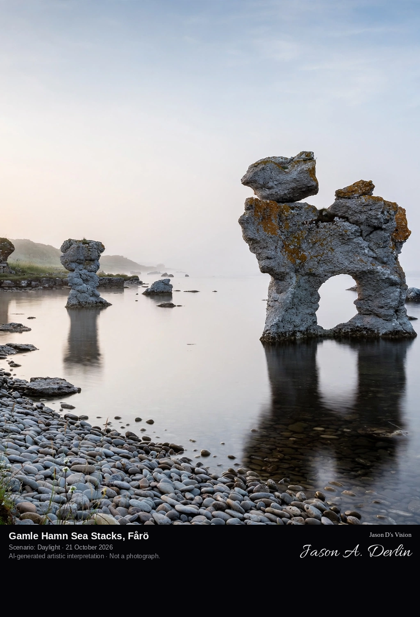
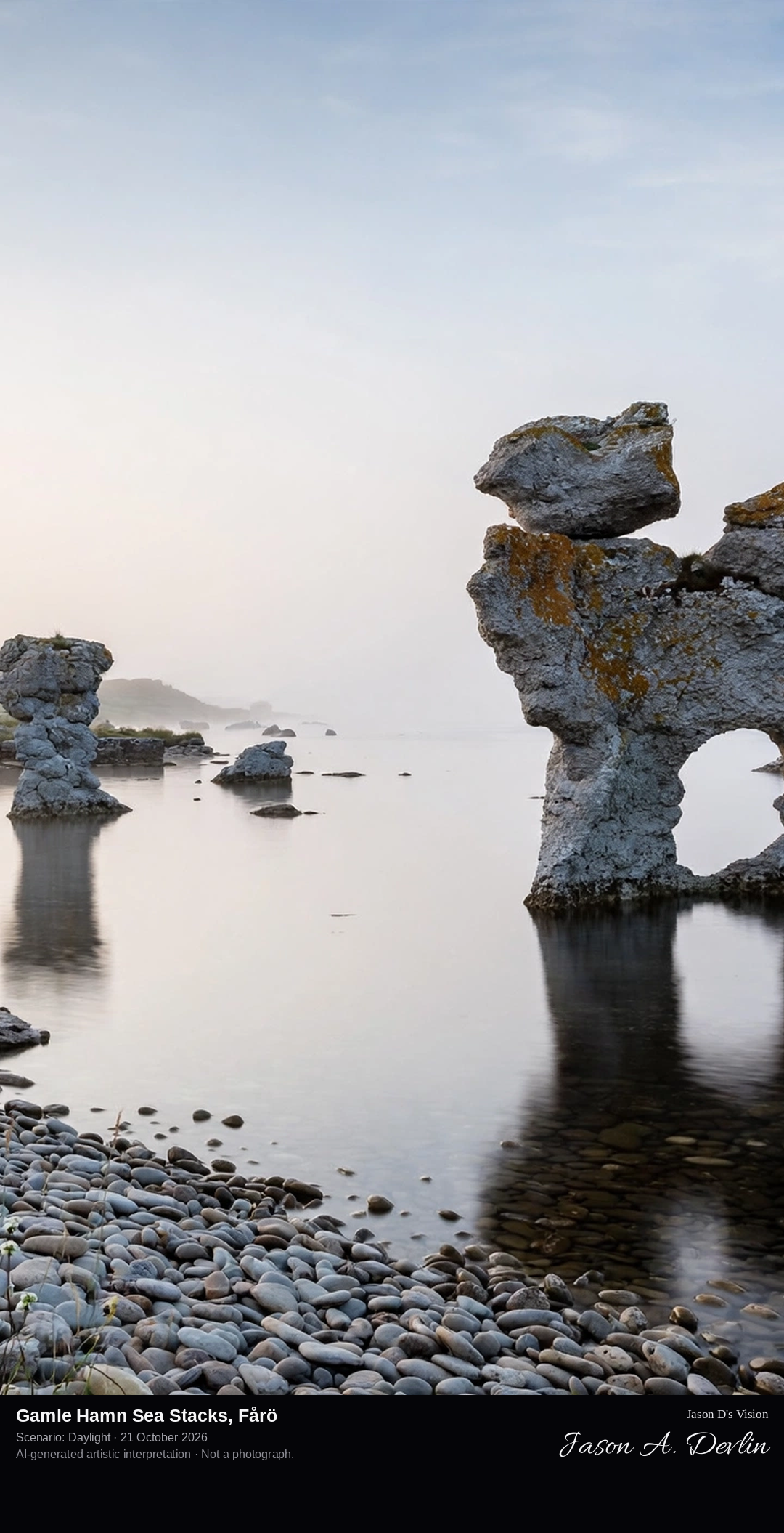
On the pebble shore at Gamle Hamn: the Kaffepannan rauk, a single distinctive stack shaped like a dog sitting by the water, with smaller raukar scattered along the bay by Fårö's old harbour.
Gamle Hamn, the Old Harbour, is a nature reserve on the west coast of Fårö. In the Middle Ages this was a working harbour; in the 14th century great storms threw up beach ridges that sealed its entrance, and the harbour basin survives today as a narrow inland lake about ninety metres long. The reserve also holds a Viking Age burial field and the low ruins of a medieval chapel. On the shore stands the most famous single rauk on Fårö, Kaffepannan, the Coffee Pot, a limestone stack that from the right angle looks like a dog sitting and gazing out to sea.
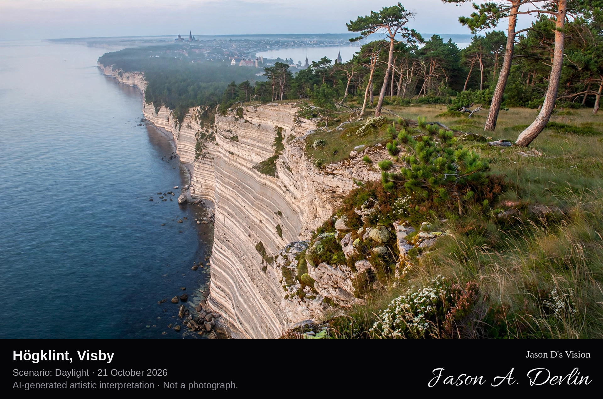
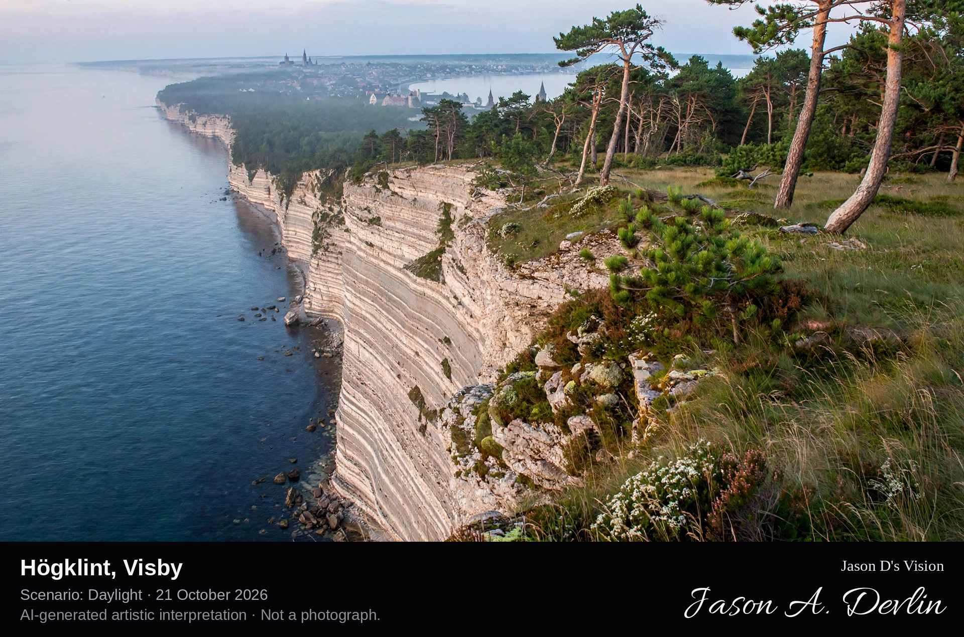
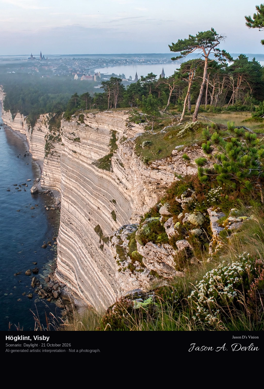
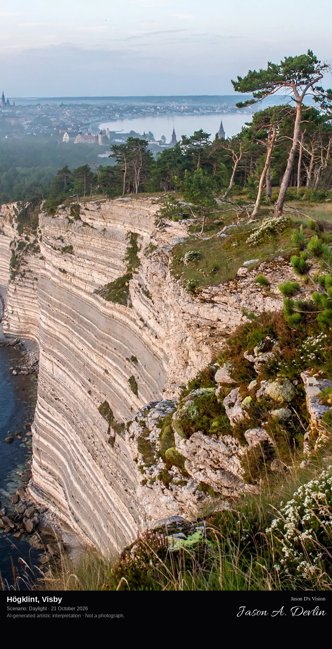
From the cliff-top viewpoint at Högklint: the layered reef-limestone cliff plunging almost vertically some 46 metres to the Baltic, the coast curving north toward distant Visby.
Högklint is a cliff headland on Gotland's west coast, about seven kilometres south-west of Visby, and the island's most spectacular stretch of cliff coast. The headland is built of reef limestone over beds of limestone and marl, and rises about 46 metres, almost vertically, straight out of the sea. Högklint and its surroundings have been a nature reserve since the beginning of the 20th century and form a Natura 2000 site. From the unfenced cliff-top viewpoint the whole west coast opens up, with Visby visible to the north; a steep staircase descends the cliff to a ledge known as Getsvälten, the Goat Famine.
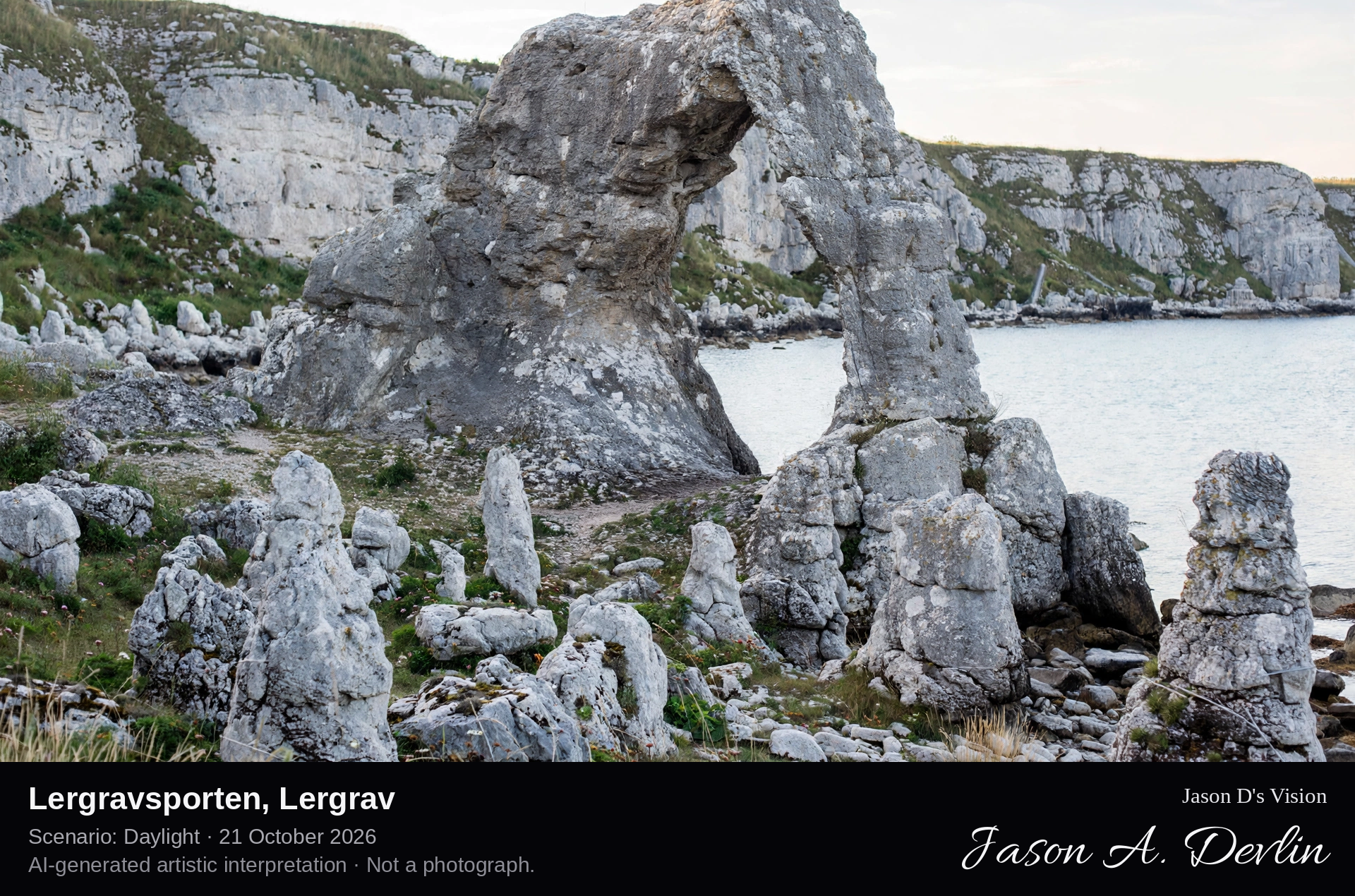
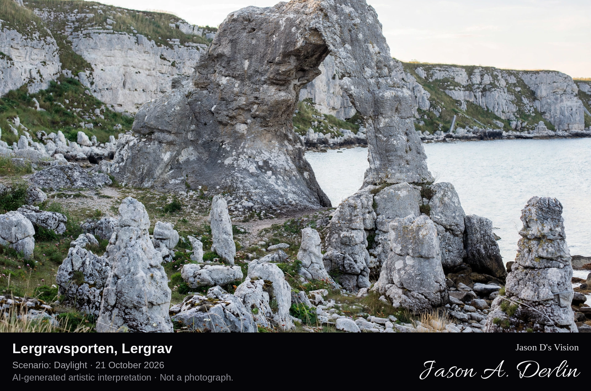
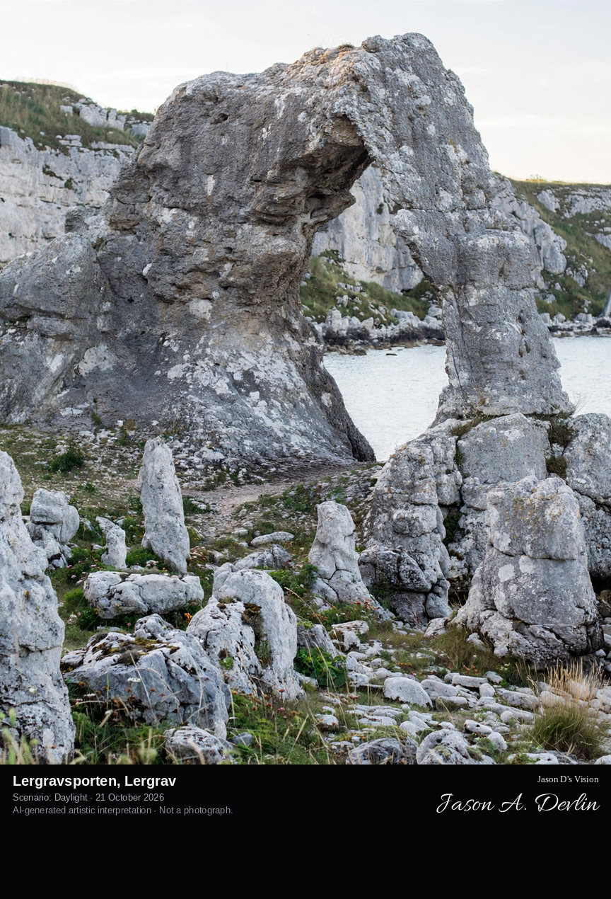
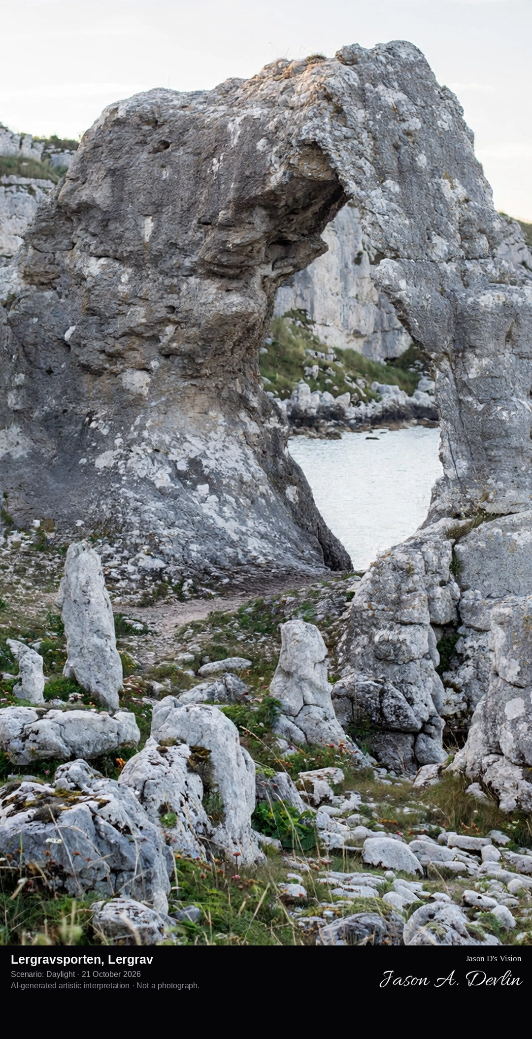
From the shore platform at Lergrav bay toward Lergravsporten, the great arch-shaped limestone sea stack pierced by a natural gateway, with the long rauk field and the cliff of Lergravsberget behind it and the Baltic beyond.
Lergravsporten is an arch-shaped sea stack, or rauk, in the rauk field below the eastern cliff of Lergravsberget on Gotland's north-east coast, between the bays of Lergravsviken and Valleviken. The limestone stacks here were sculpted by the waves of the Littorina Sea thousands of years ago, and Lergravsporten, pierced by a natural archway visitors can walk through, is among the most remarkable of them. The surrounding shore is a protected nature reserve beside the small fishing base of Lergrav, where lime was once quarried and burned in kilns along the coast.
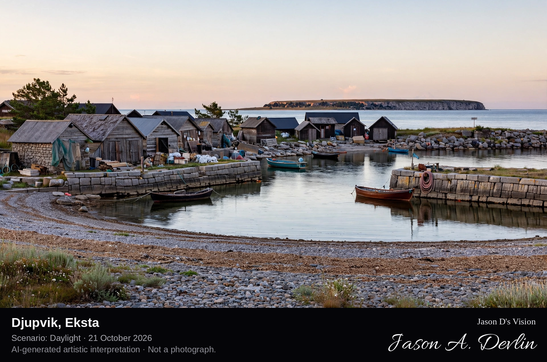
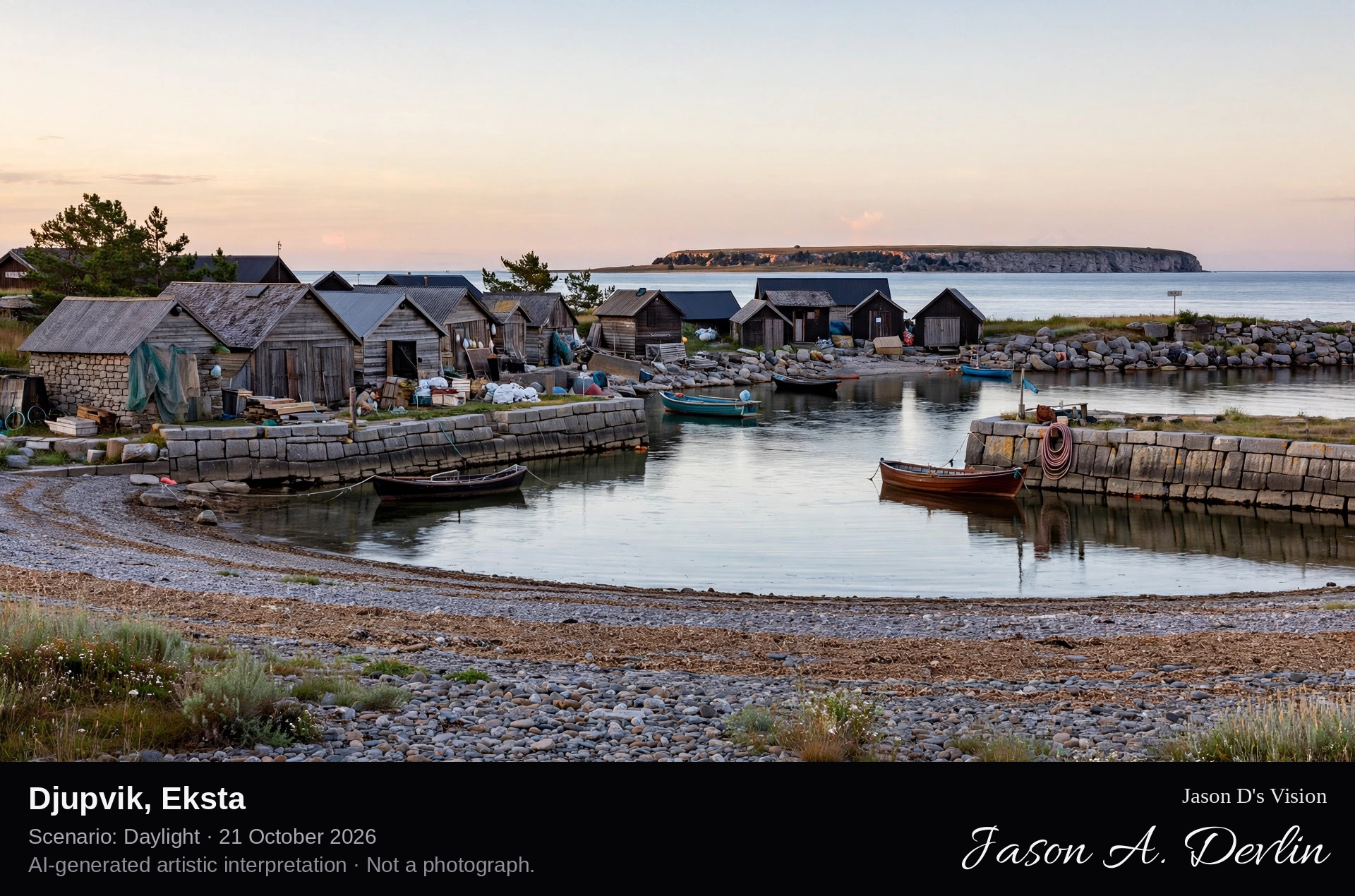
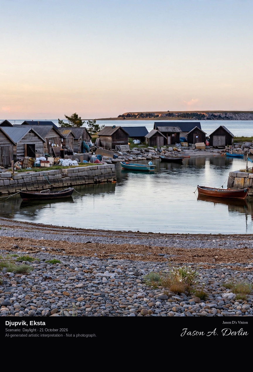
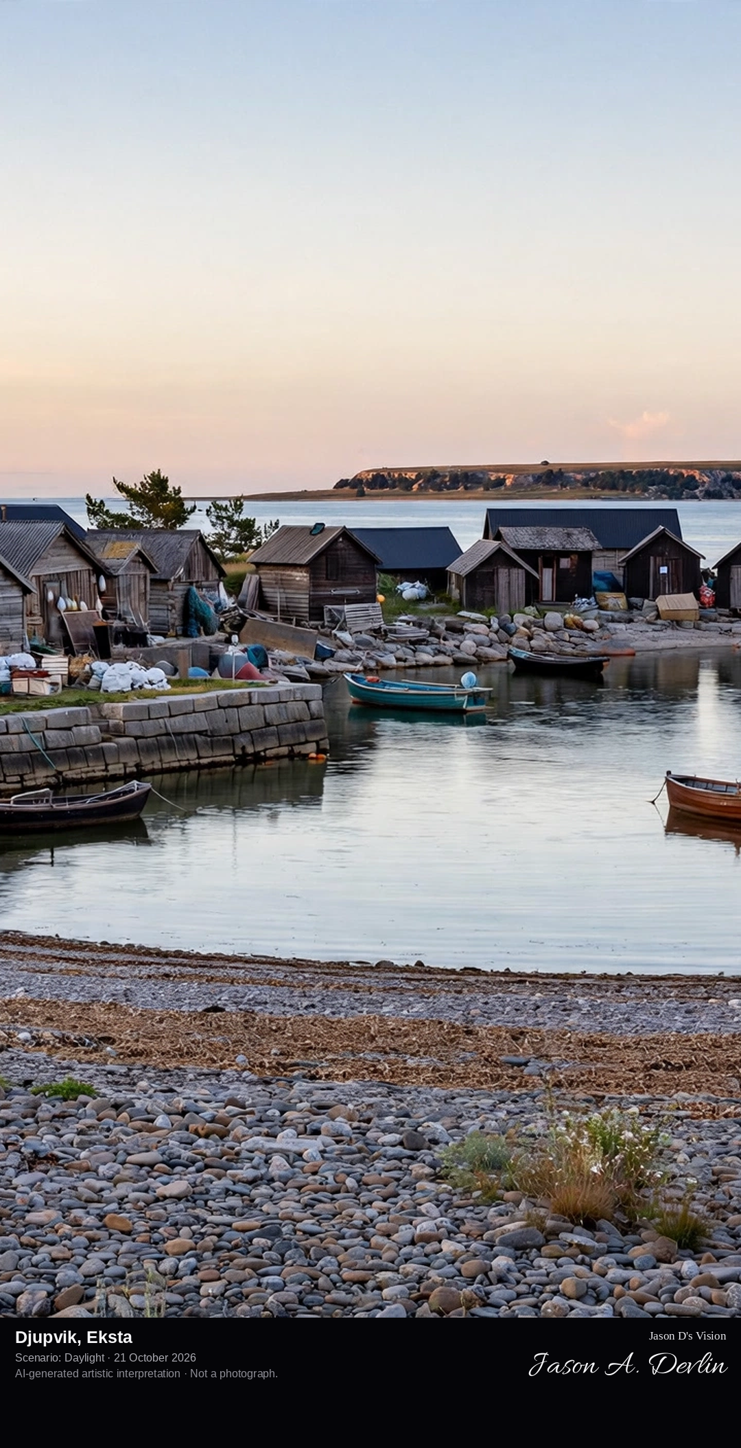
At shore level in Djupvik fishing village on the Eksta coast, past the small stone and timber fishing huts to the harbour with its two breakwaters, looking out to the flat-topped limestone plateau of Lilla Karlsö on the horizon.
Djupvik, or Djauvik in Gutnish, is a fishing village in Eksta parish on Gotland's west coast, inside the island of Lilla Karlsö. The harbour site is old, with graves and a Bronze Age ship setting on the ground above it, but the fishing village in its present form dates from the late 1800s, when Eksta's farmers moved their fishing here from Kronvalds further south. Herring fishing boomed here during the First World War, the harbour gained two breakwaters, and cod was the other main catch. Fishing ended in the late 1900s and the huts are now summer cottages along the Ekstakusten nature reserve coast.
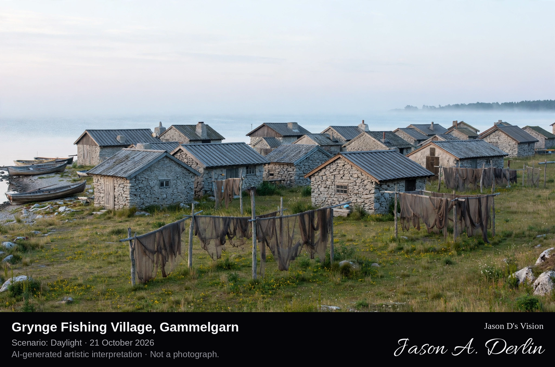
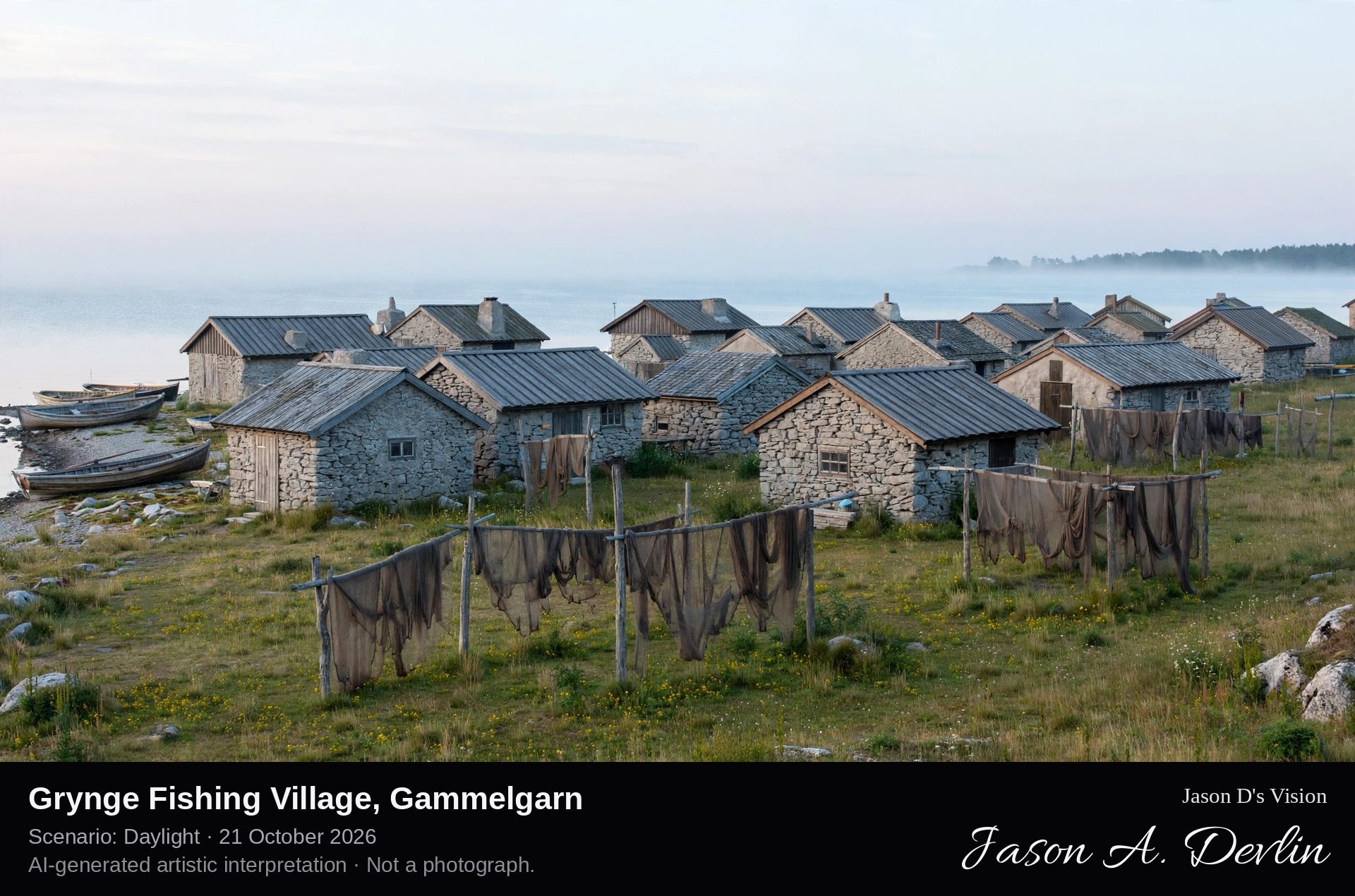
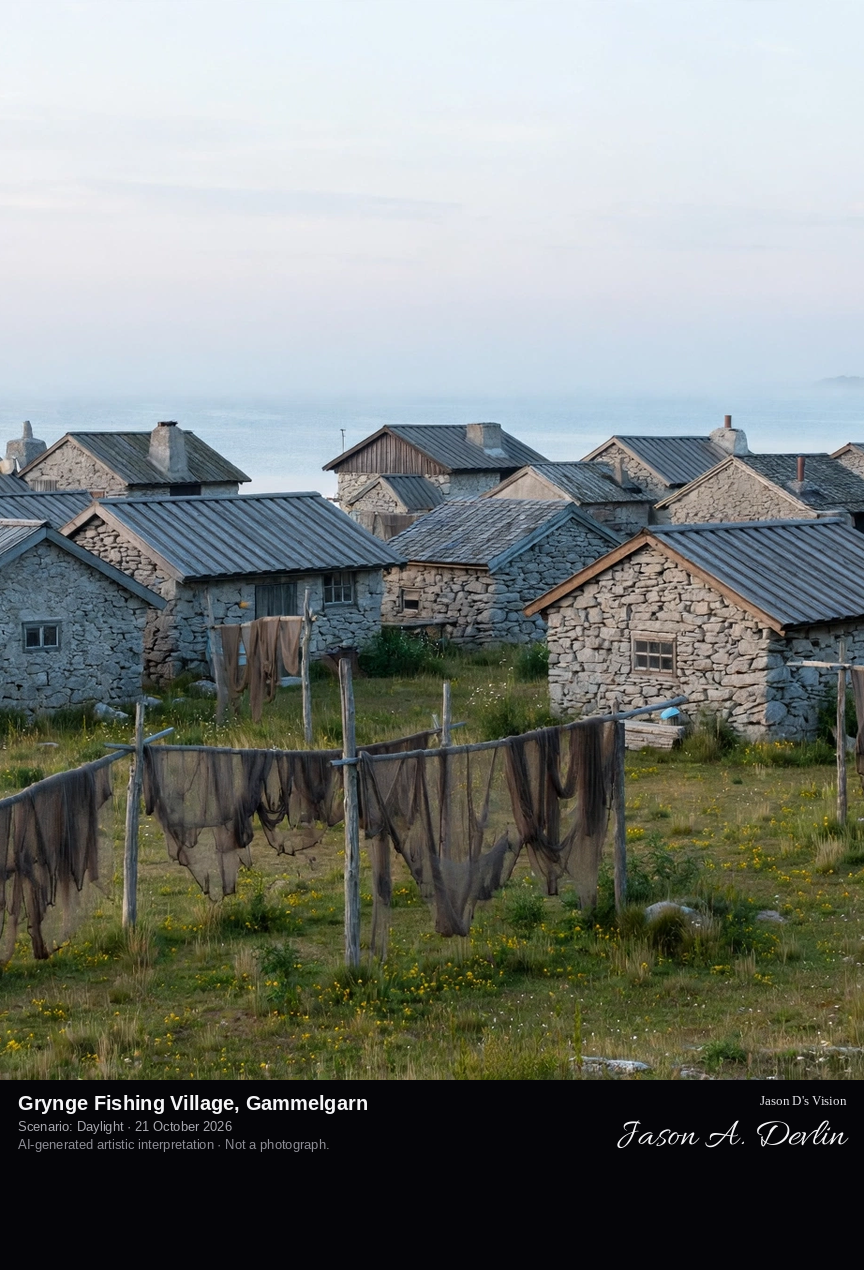
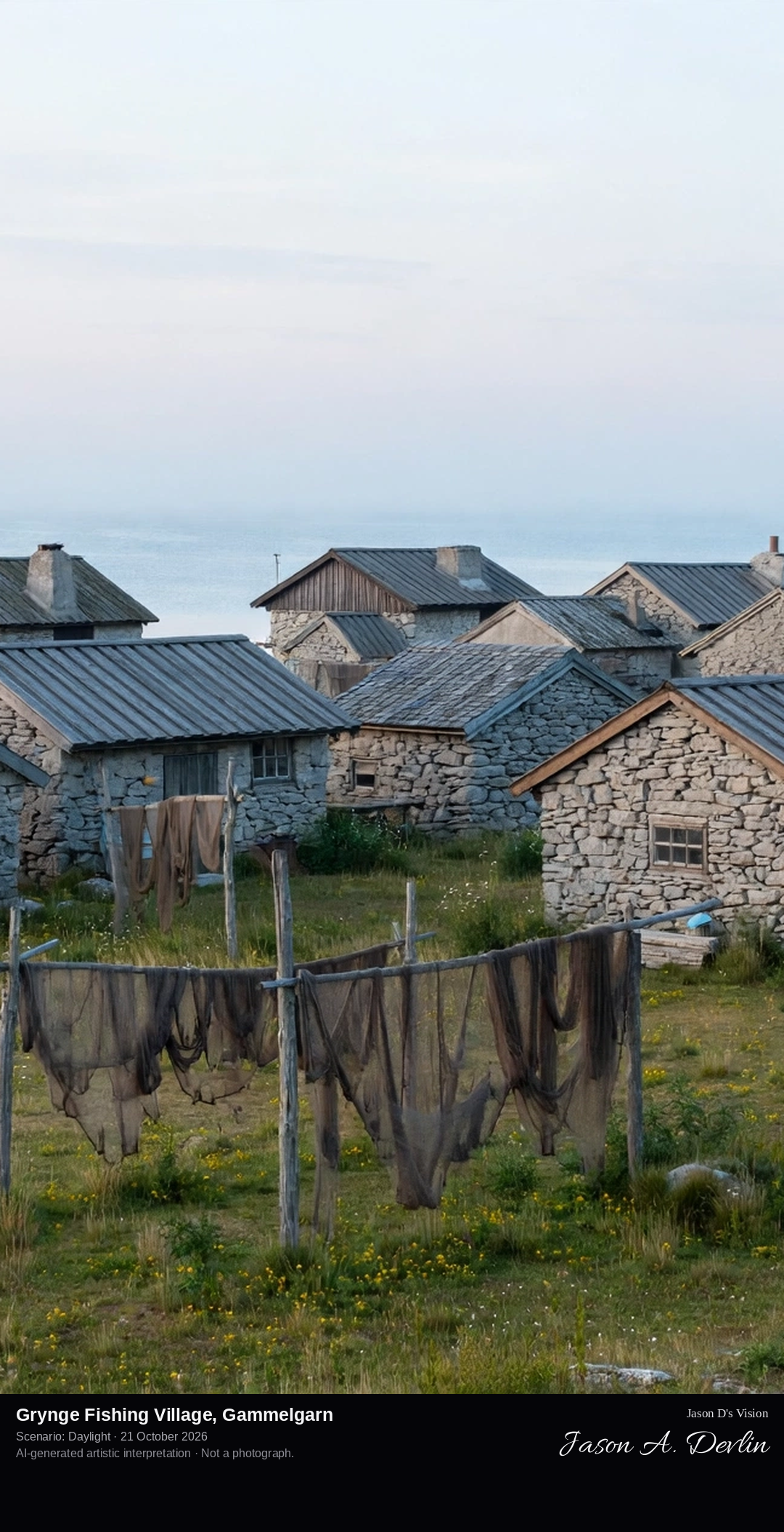
From shore level at Grynge, along the grouped rows of small grey limestone fishing huts with pitched roofs standing on the grassy shore by the water, with net-drying grounds and the open Baltic beyond.
Grynge is one of Gotland's best-preserved fishing villages, standing on the west side of the Gryngudd headland in Gammelgarn parish on the island's east coast. Around twenty stone fishing huts from the 1700s and 1800s stand gathered in groups on the shore, built mainly for roofs of thin limestone slabs, though none keep that covering today. Before and behind the huts lie the gistgard, the open grounds where fishing nets were hung to dry, and the remains of two stone beacon towers, once lit with open fires to guide boats in, survive nearby. No fishing is carried on here any longer; the huts now serve as holiday cottages, with the Danbo nature reserve just to the south.
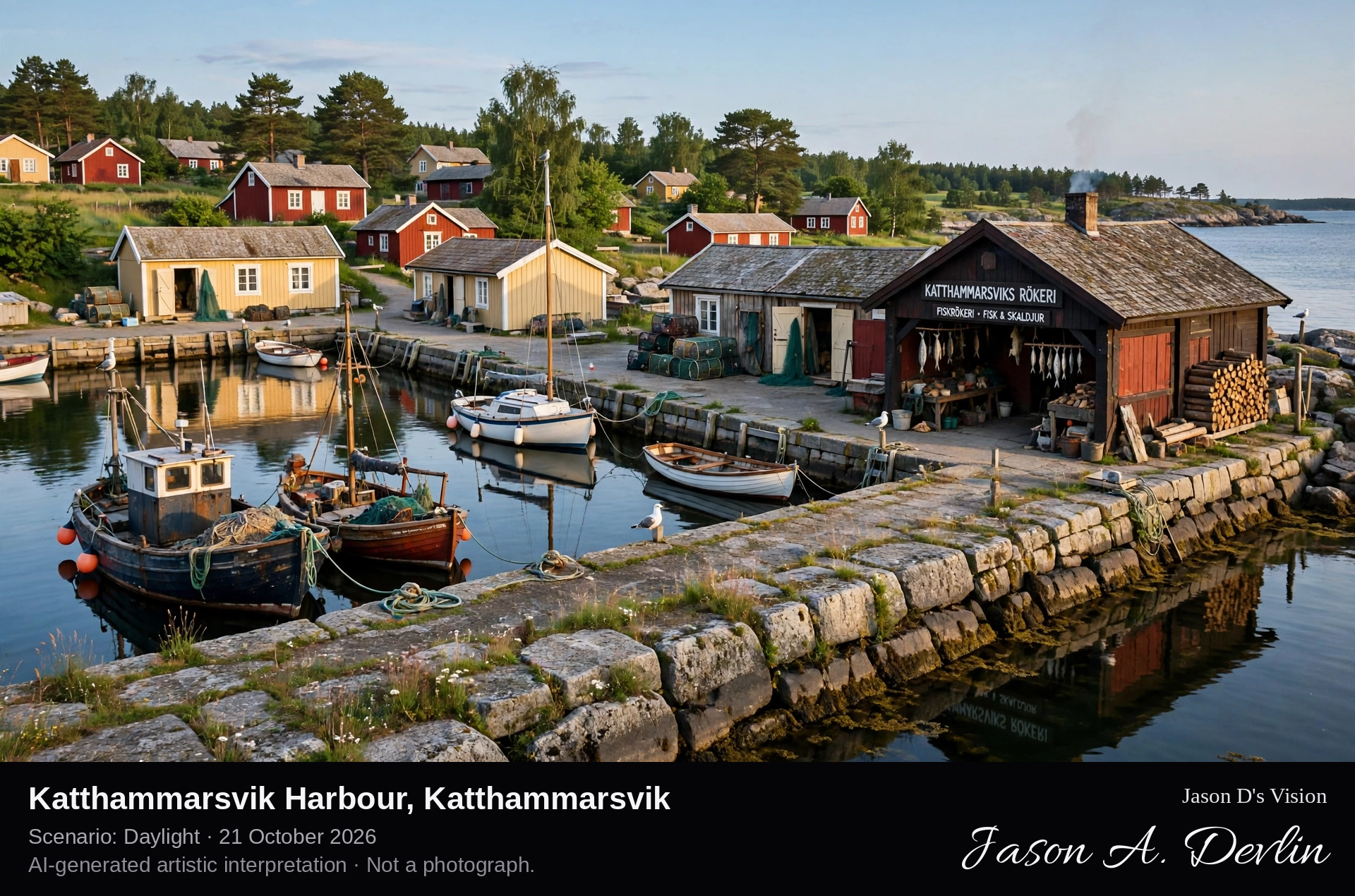
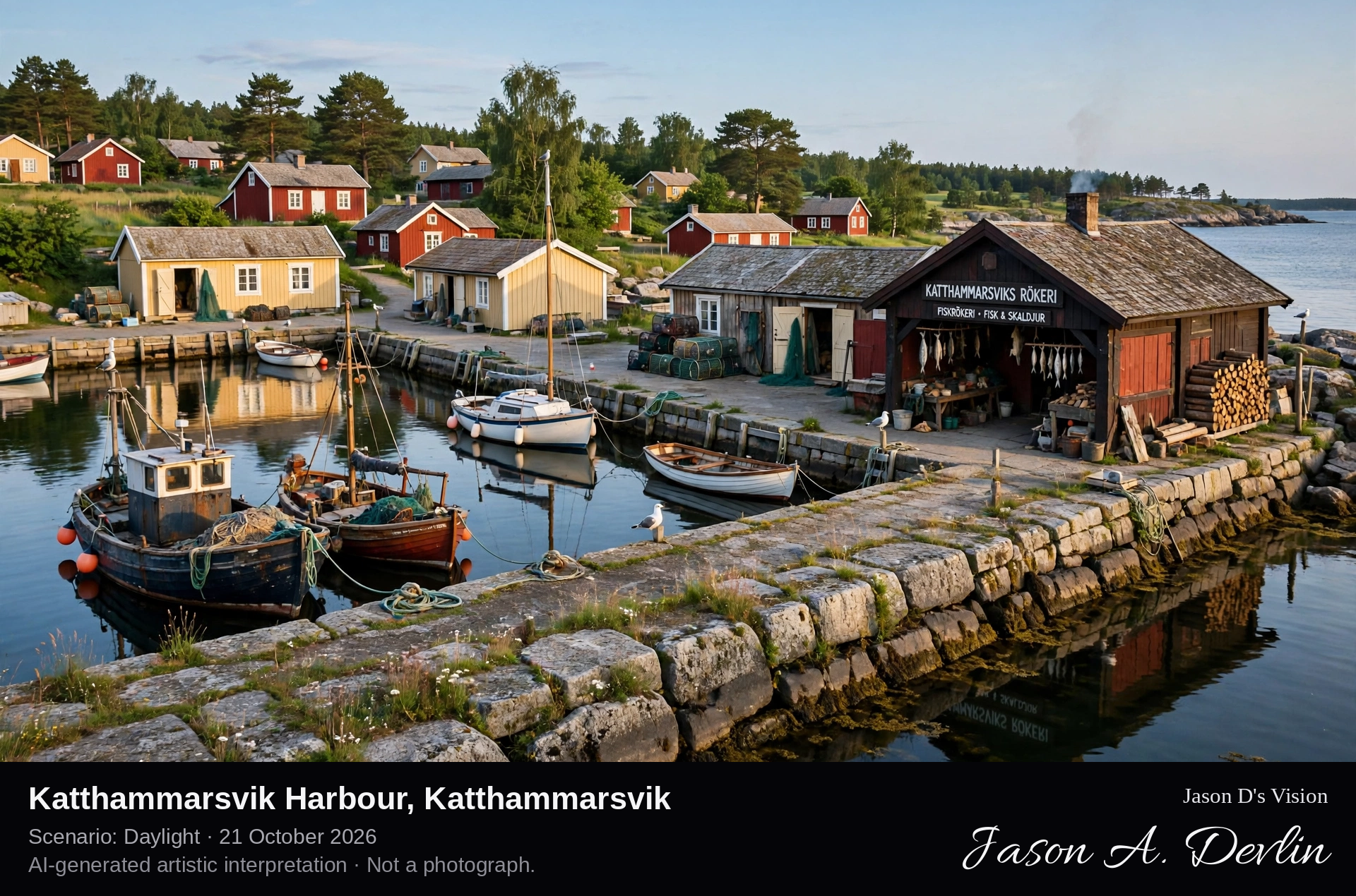
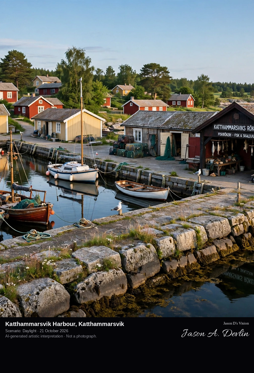
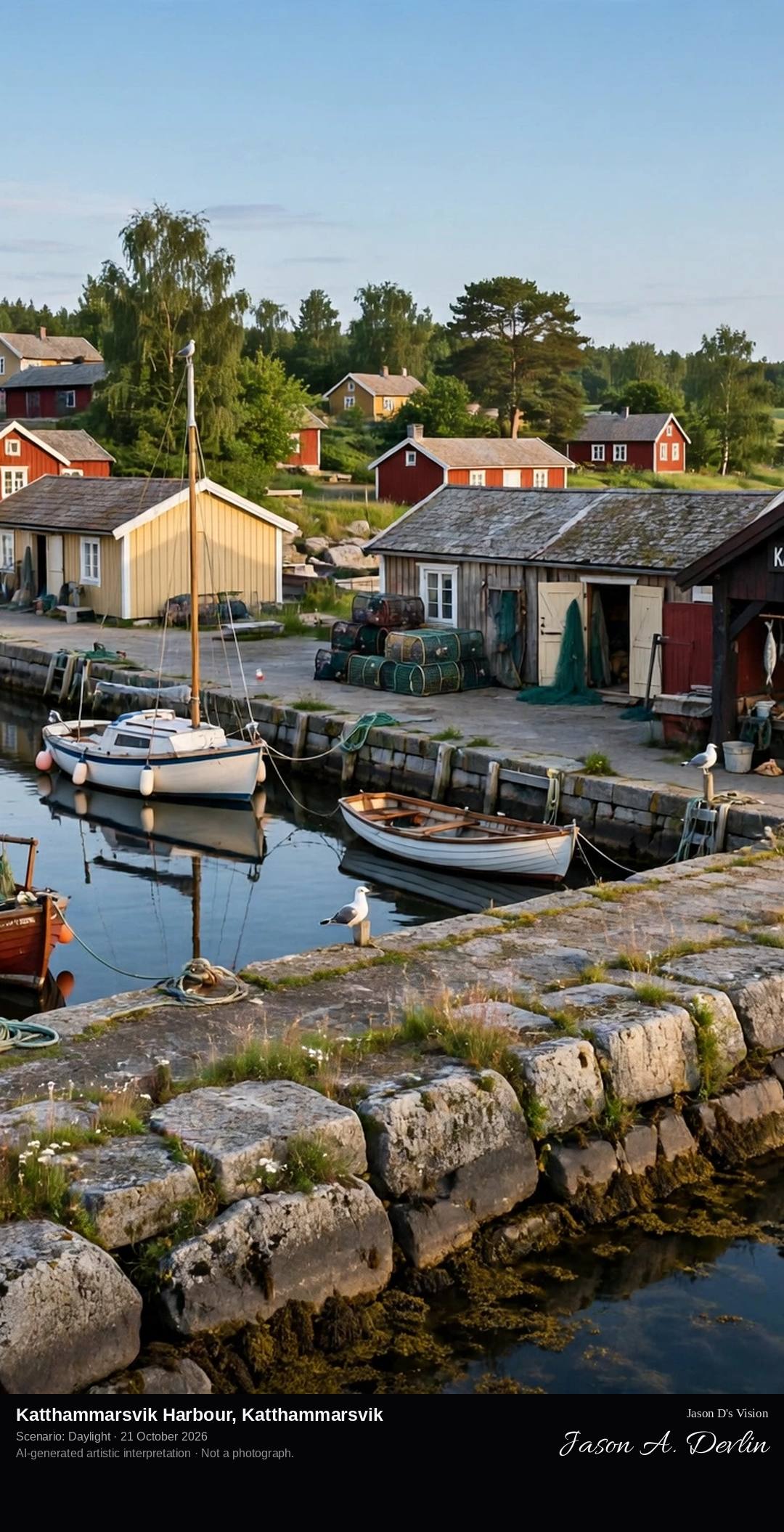
Across the harbour at Katthammarsvik, with its stone jetty, small boats and harbour buildings including the smokehouse, the village waterfront opening to the bay on Gotland's east coast.
Katthammarsvik is a small harbour settlement in Östergarn parish on Gotland's east coast. After Gotland came under Swedish rule in 1645 its limestone industry flourished, with several lime kilns, and burnt lime, limestone and wood products were shipped out from the harbour here. Nearby stands Katthamra manor, of medieval origin, which grew rich on the lime trade in the 18th and 19th centuries; its Neoclassical main building was enlarged in 1805. Today the harbour, with its stone jetty and well-known smokehouse, is a quiet summer village of fewer than two hundred permanent residents.
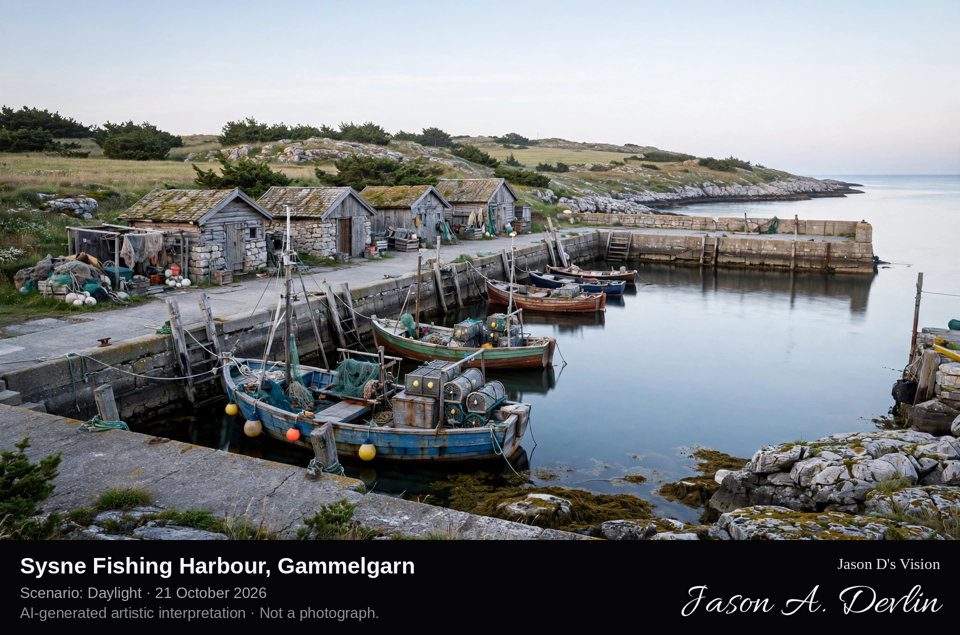
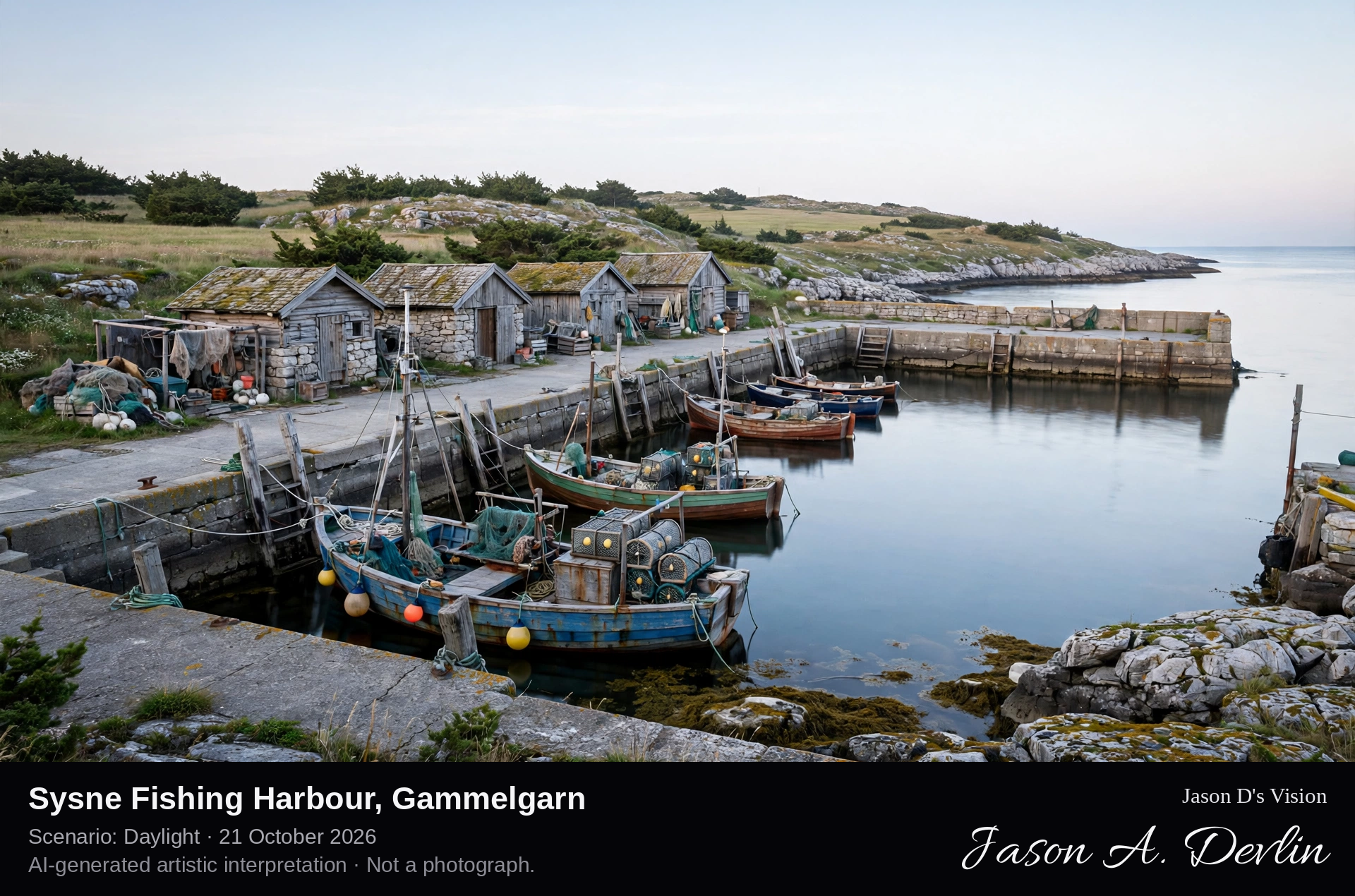
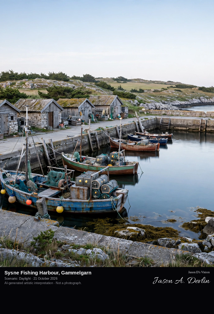
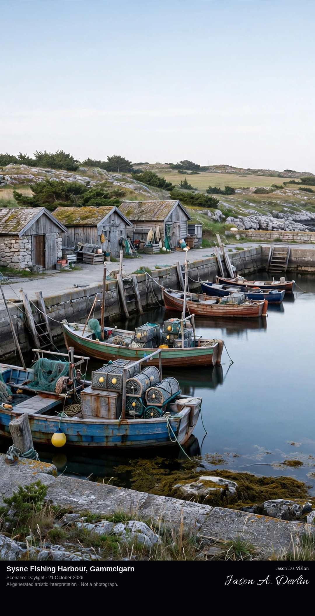
Along the pier at Sysne fishing harbour on the inner side of Sysne udd headland, past the small fishing huts and moored fishing boats in the deep-water harbour basin, looking out toward the open Baltic.
Sysne is a small fishing harbour on the inner, western side of the Sysne udd headland in Gammelgarn parish, on the Östergarnlandet coast of eastern Gotland. When the state refused the Sysne fishermen a grant to rebuild their worn-out harbour in the 1950s, they raised the money themselves and built the deep harbour that serves the village today, with about four metres of water. Around half a dozen fishermen still worked from here in the 1980s, and the former harbour office now houses a small fishing museum. On the headland above lies a burial place from the Russian occupation of Gotland in 1808.
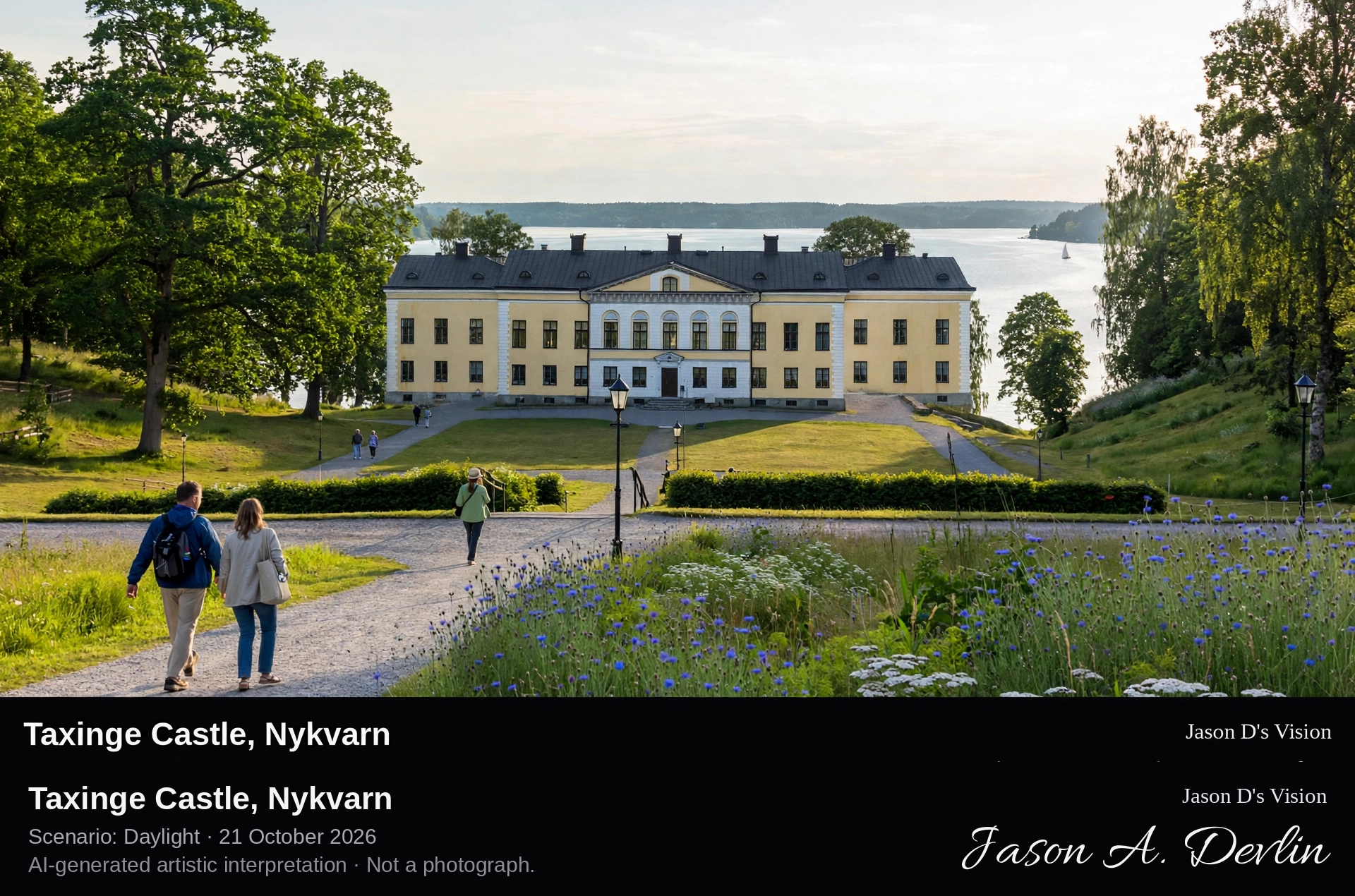
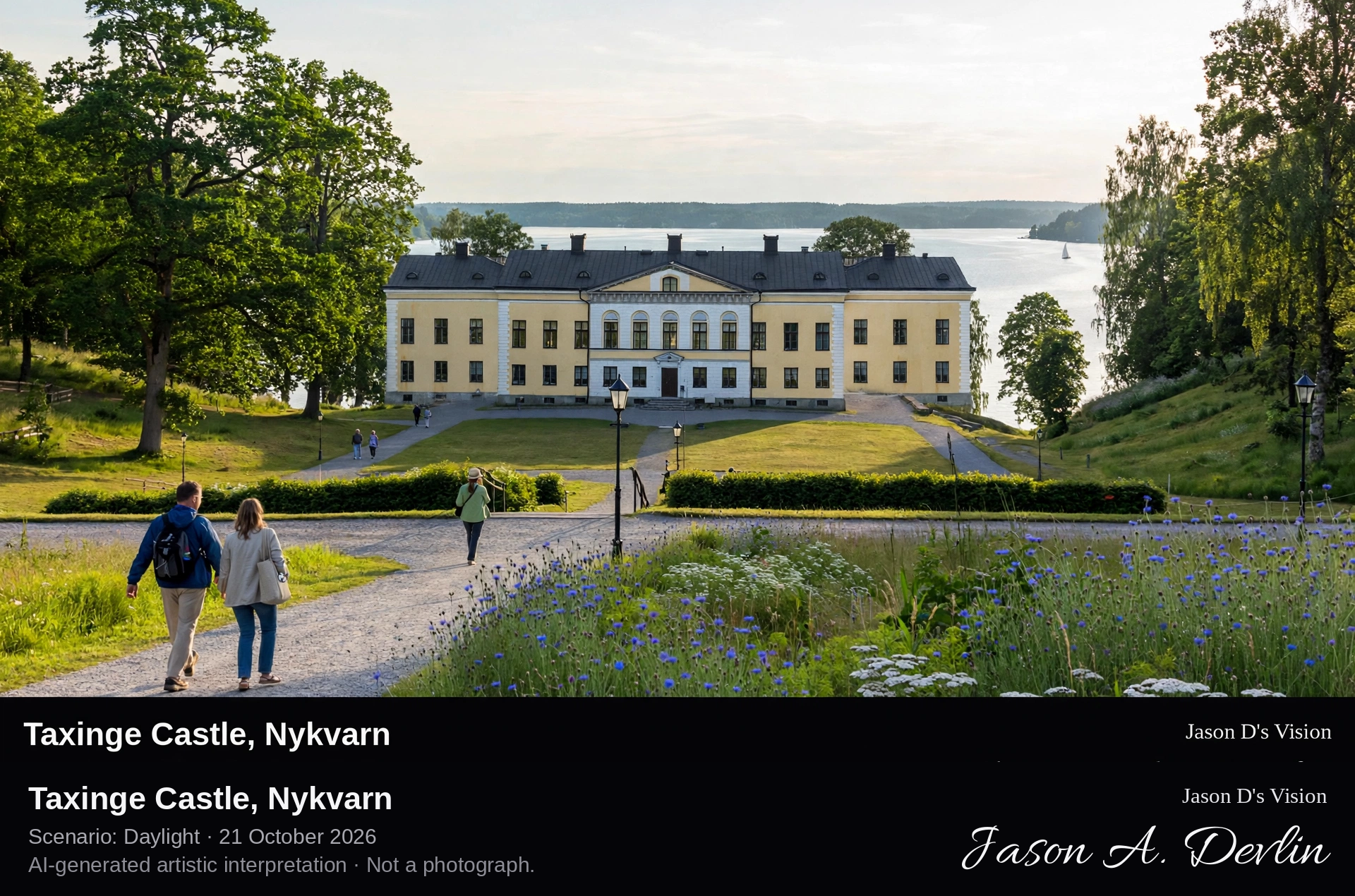
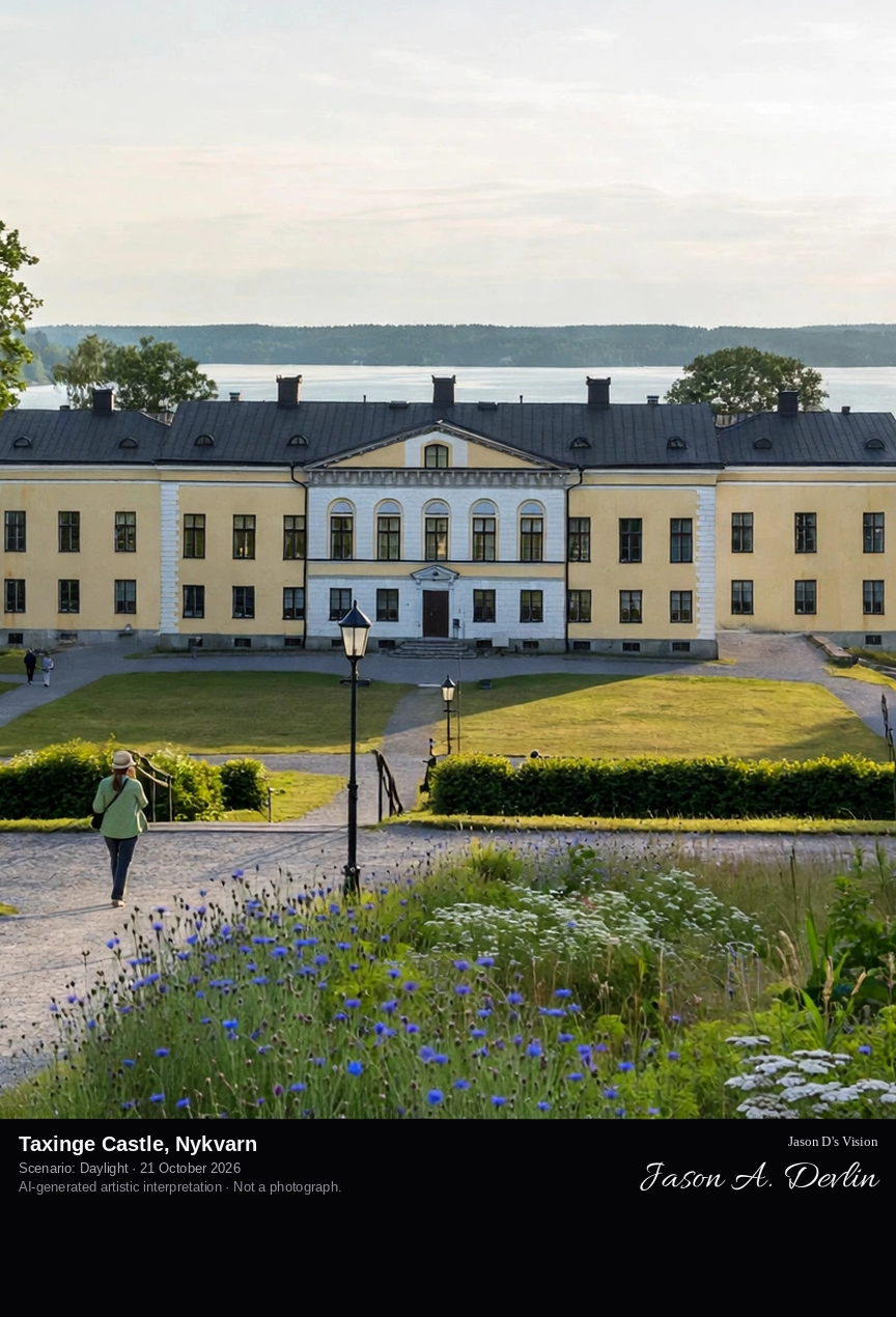
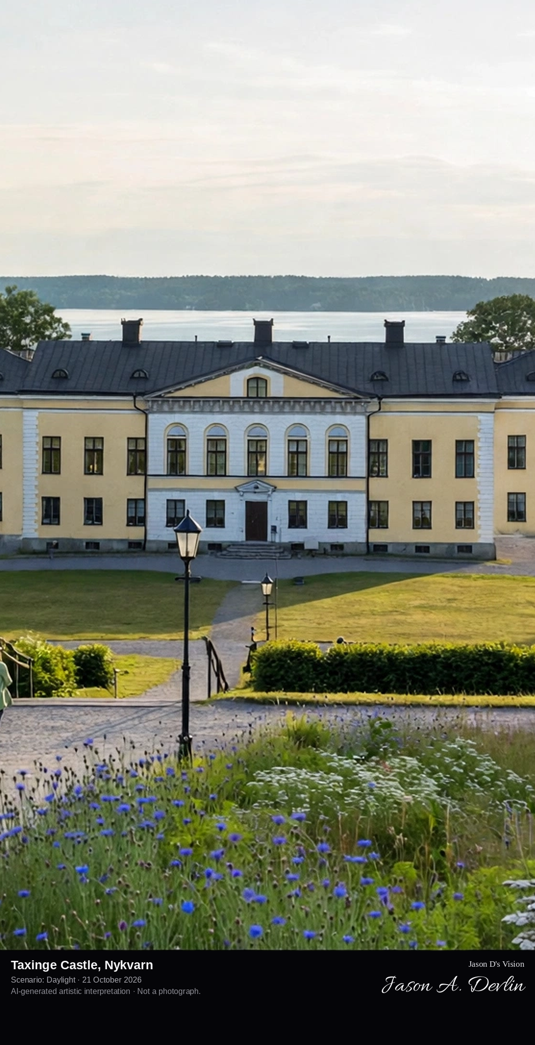
Across the castle forecourt and lawns toward Taxinge Castle, the white neoclassical manor house standing on its hill at Näsby, with the English landscape park sloping away toward Gripsholm Bay and Lake Mälaren.
Taxinge Castle, at Näsby in Nykvarn municipality, is a white neoclassical manor house built between 1807 and 1813 for Anders von Wahrendorff to designs by Carl Christoffer Gjörwell. It stands on a hill above Gripsholm Bay on Lake Mälaren, on an estate whose history reaches back to the 13th century. The castle is famous across Sweden as Kakslottet, the Cake Castle, whose café serves around sixty kinds of cake on what is billed as Northern Europe's largest cake buffet. The house also appeared in Ingmar Bergman's film Cries and Whispers.
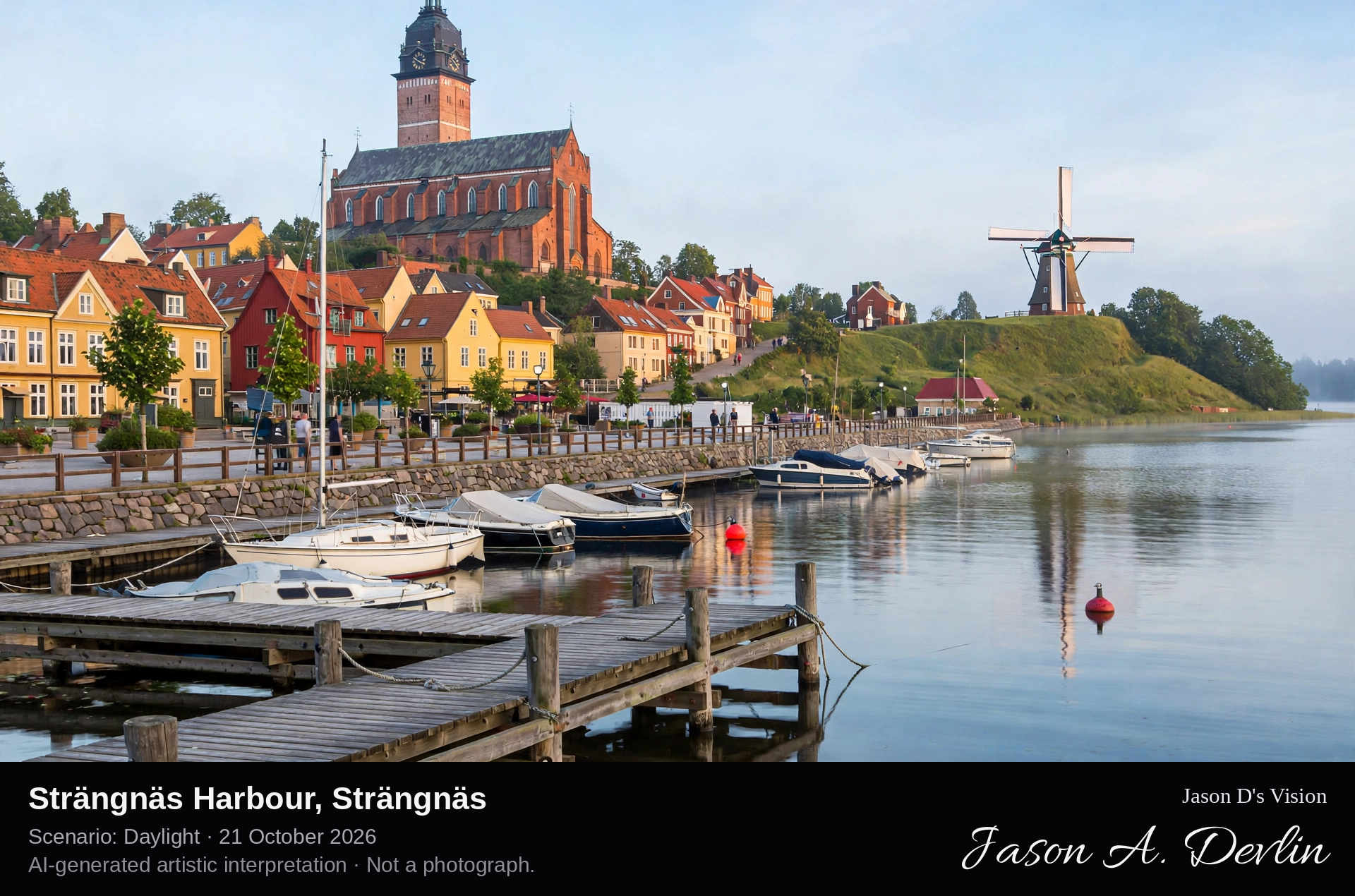
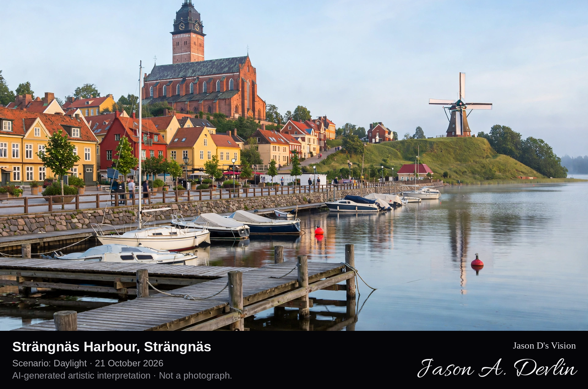
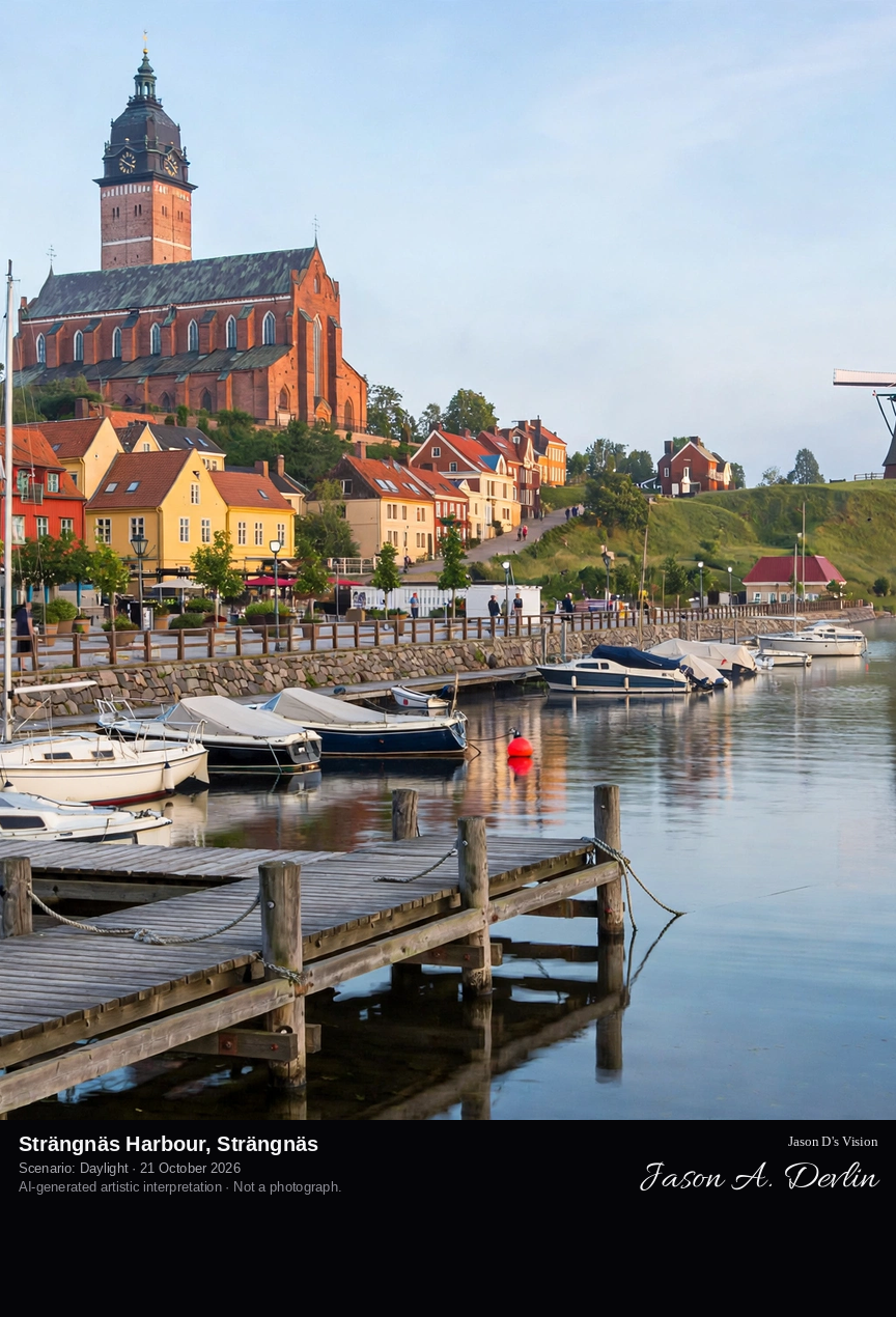
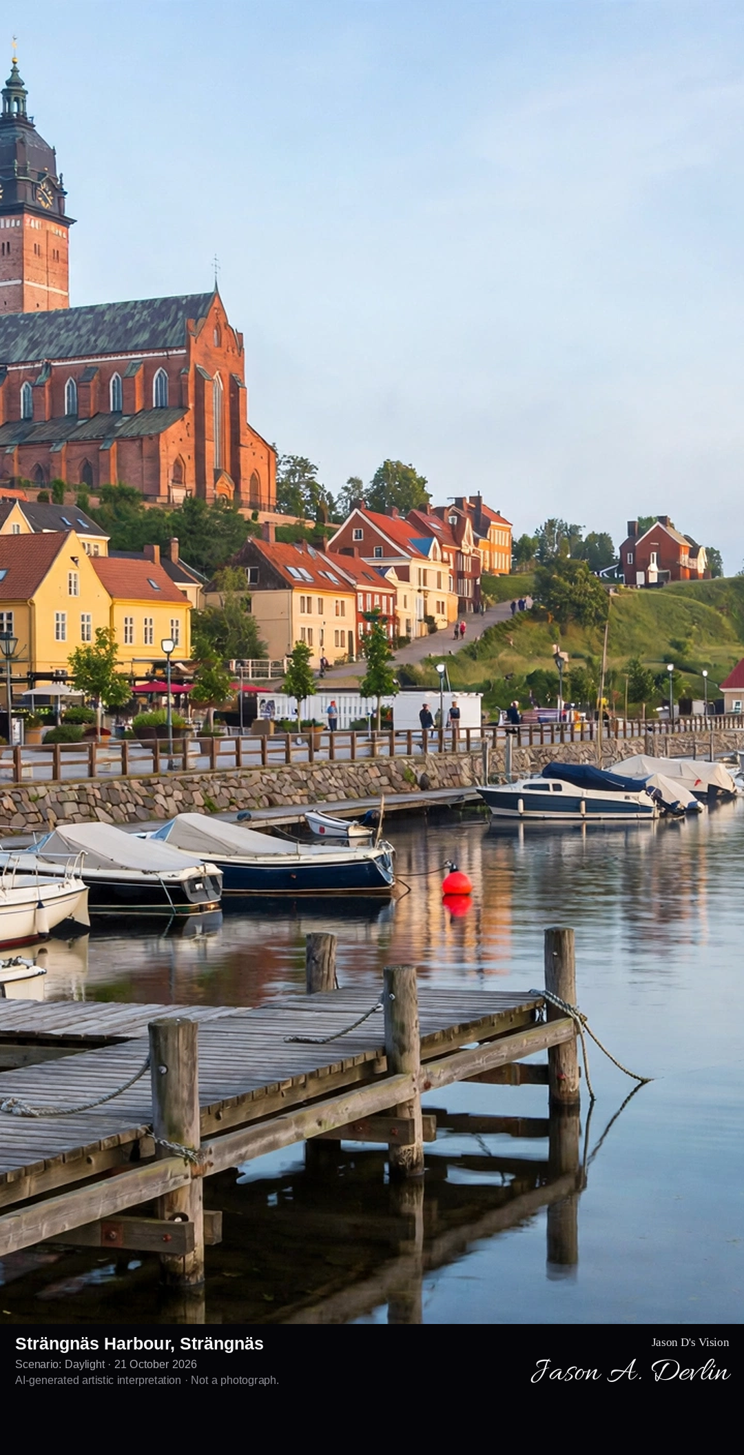
Across the harbour on Västerviken bay toward the Strängnäs waterfront, with moored boats and jetties in the foreground, the old town's rooftops rising behind, the brick cathedral crowning its hill and the 1855 windmill standing on Kvarnkullen.
Strängnäs Harbour fronts the old town on Västerviken, a bay of Lake Mälaren, in one of Sweden's oldest towns. Above the harbour and the red-roofed old town rises Strängnäs Cathedral, a Brick Gothic church begun around 1260 and inaugurated in 1291, its tower carrying a Baroque hood of 1723. On the neighbouring hill of Kvarnkullen stands the town's Dutch-style windmill, built in 1855 where mills have stood since 1630. It was at Strängnäs that Gustav Vasa was elected king of Sweden on 6 June 1523, the date now kept as Sweden's National Day.
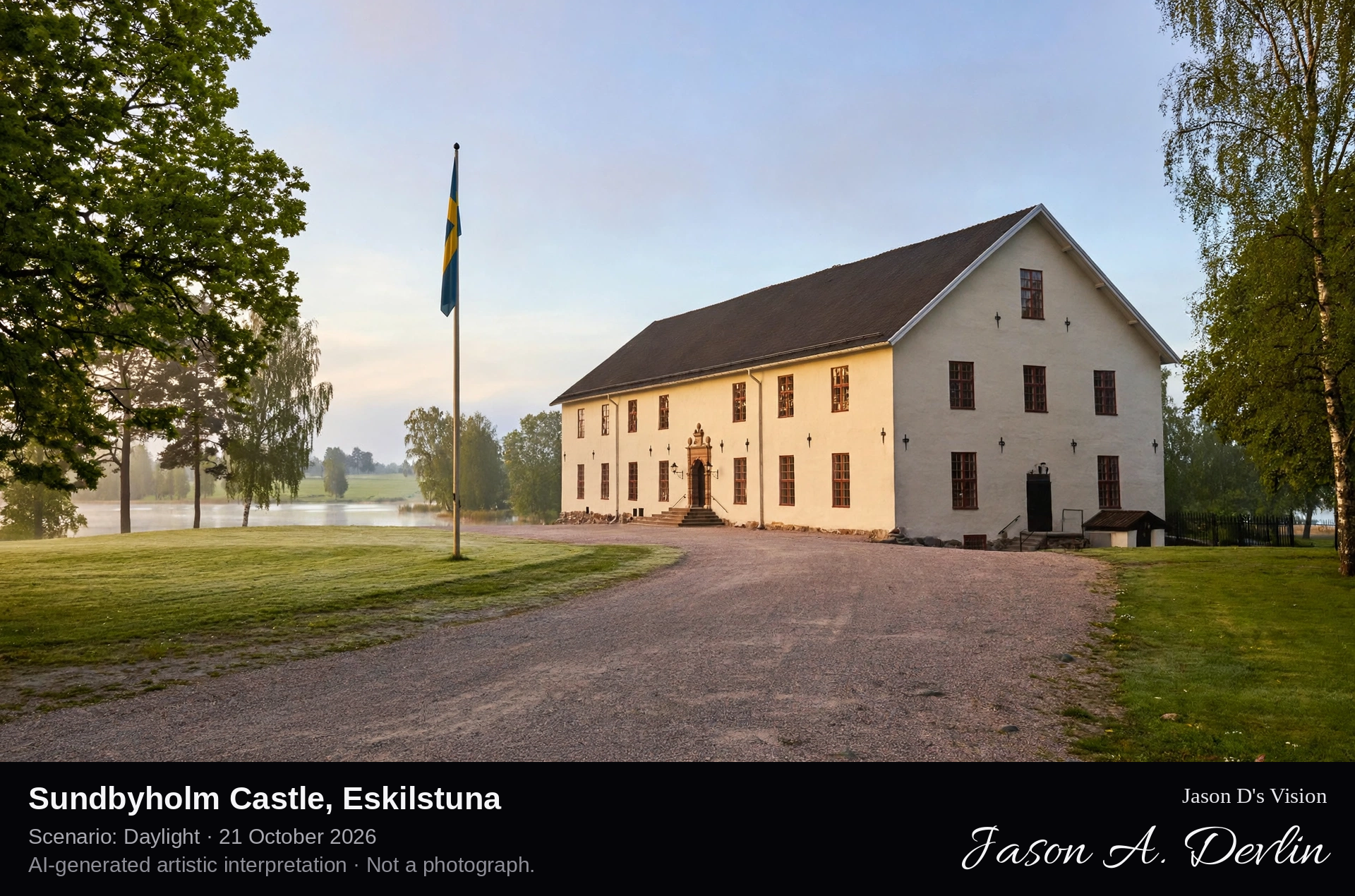
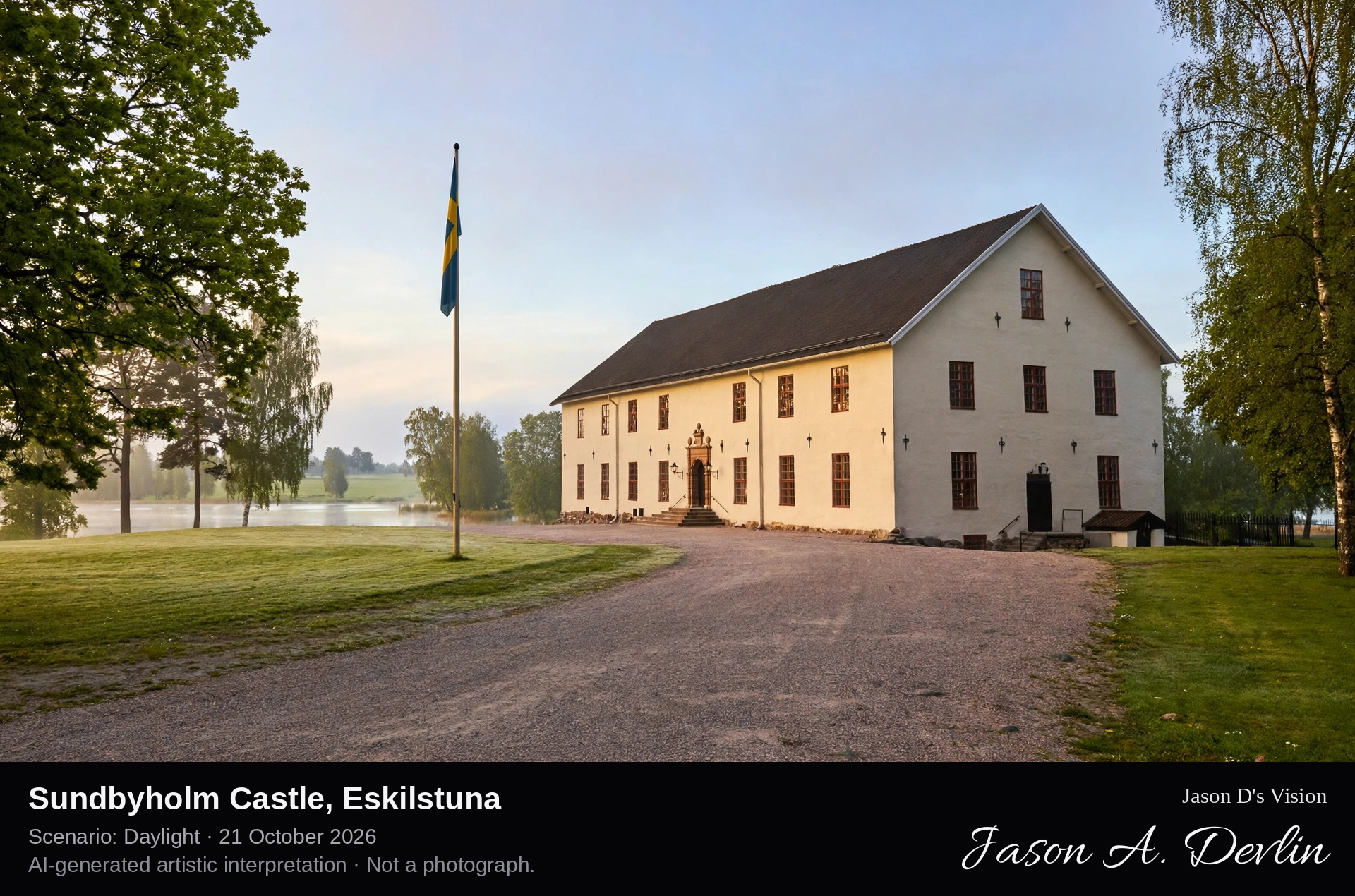
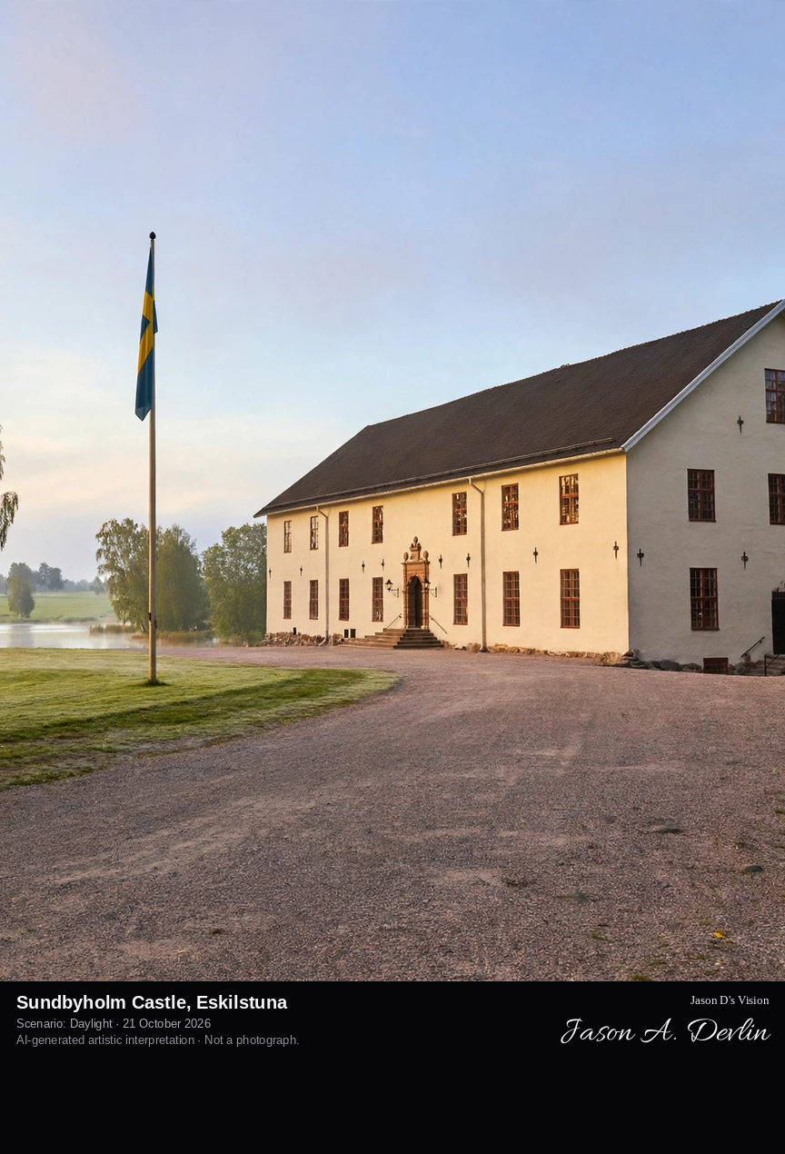
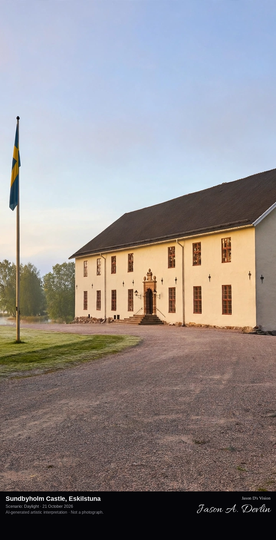
Across the courtyard approach toward Sundbyholm Castle, the large pale three-storey manor house on the southern shore of Lake Mälaren, with its park, marina and beech woods around it.
Sundbyholm Castle stands on the southern shore of Lake Mälaren north of Eskilstuna, on land that belonged in the Middle Ages to the Johannite monastery in Eskilstuna. The present castle was built between 1639 and 1648 by Admiral Carl Gyllenhielm, a son of King Karl IX, and though fires in 1674 and 1774 forced rebuildings, its great pale main block still anchors the estate. Prince Eugen painted the castle in 1893 in his famous canvas The Old Castle. Today the castle is a hotel and conference house, beside the largest marina in Eskilstuna municipality and a long sandy bathing beach.
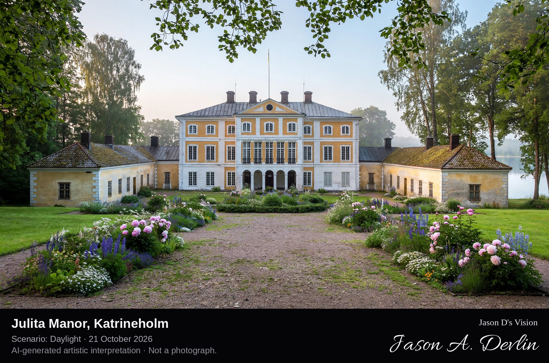
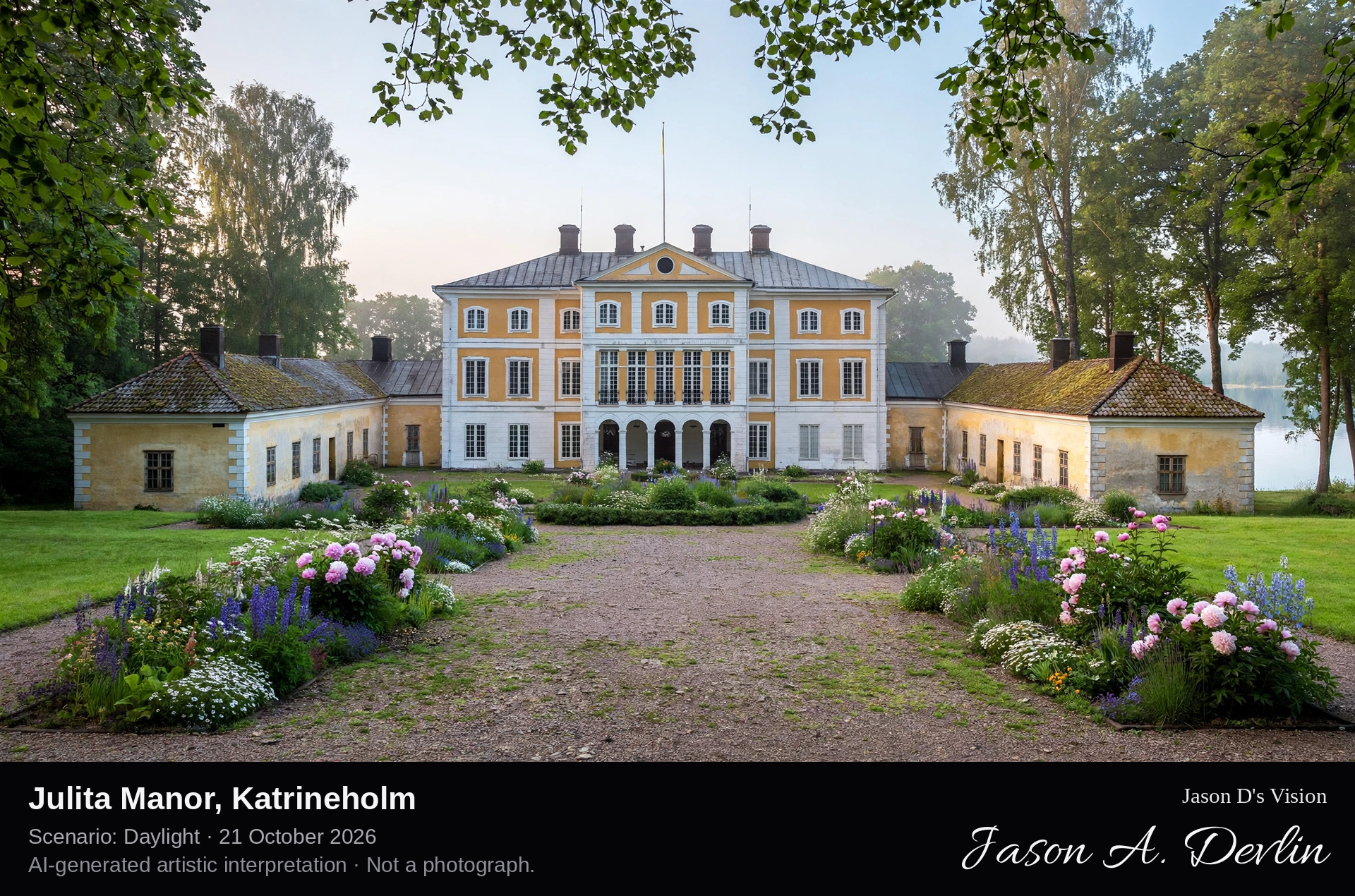
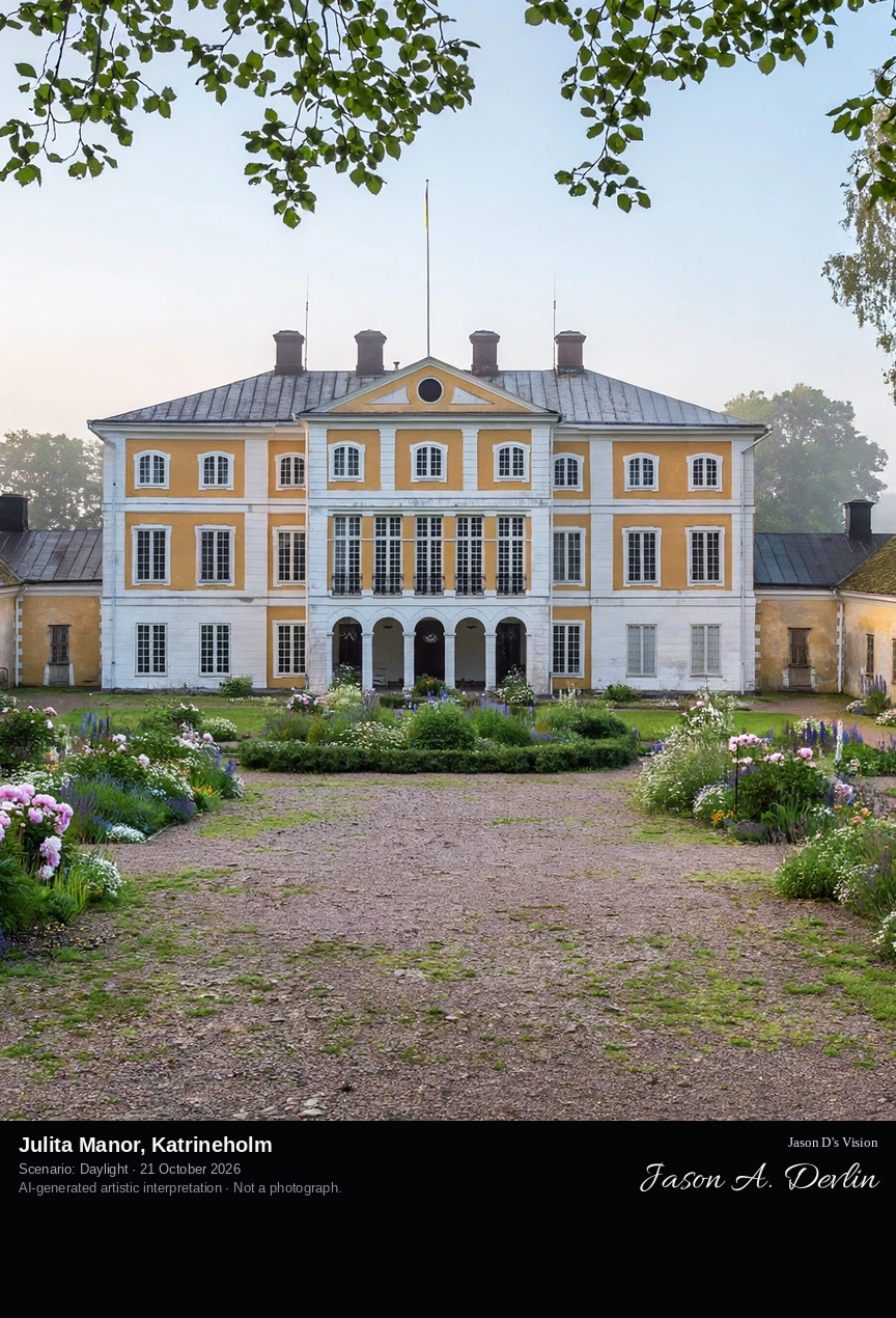
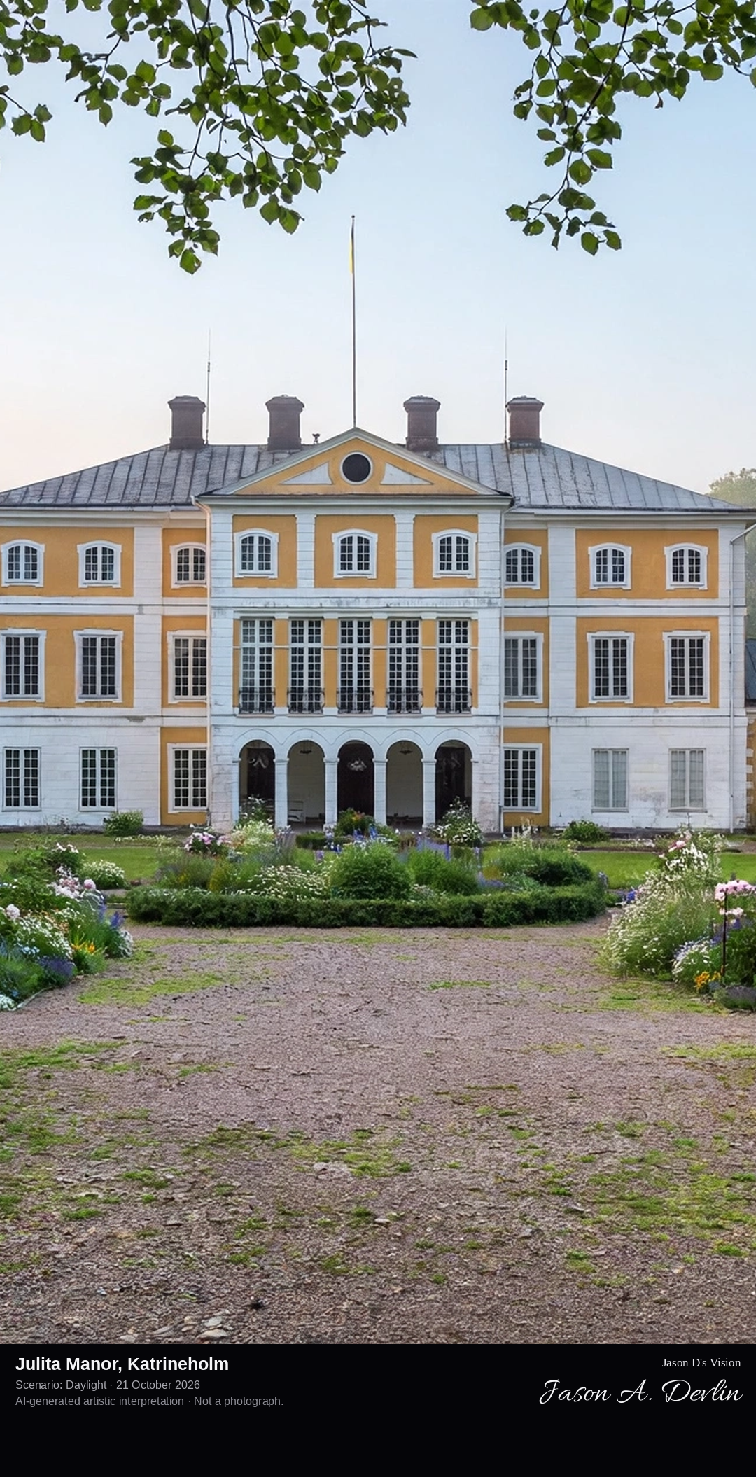
Across the courtyard and lawns toward Julita Manor's pale classicist main house with its older wings, in the great park of the Nordic Museum's open-air estate on Lake Öljaren.
Julita Manor, on Lake Öljaren north-west of Katrineholm, is Sweden's great open-air museum estate, owned by the Nordic Museum. A Cistercian monastery was founded here around 1180 and stood until the Reformation, and the Monastery House still keeps a 13th-century ground floor. The main house was built in the first half of the 1730s in classicist style between older 17th-century wings. The last private owner, Lieutenant Artur Bäckström, bequeathed the estate to the Nordic Museum in 1941; nearly 360 buildings stand across its 2,200 hectares, and its orchards preserve some 290 fruit trees as living collections.
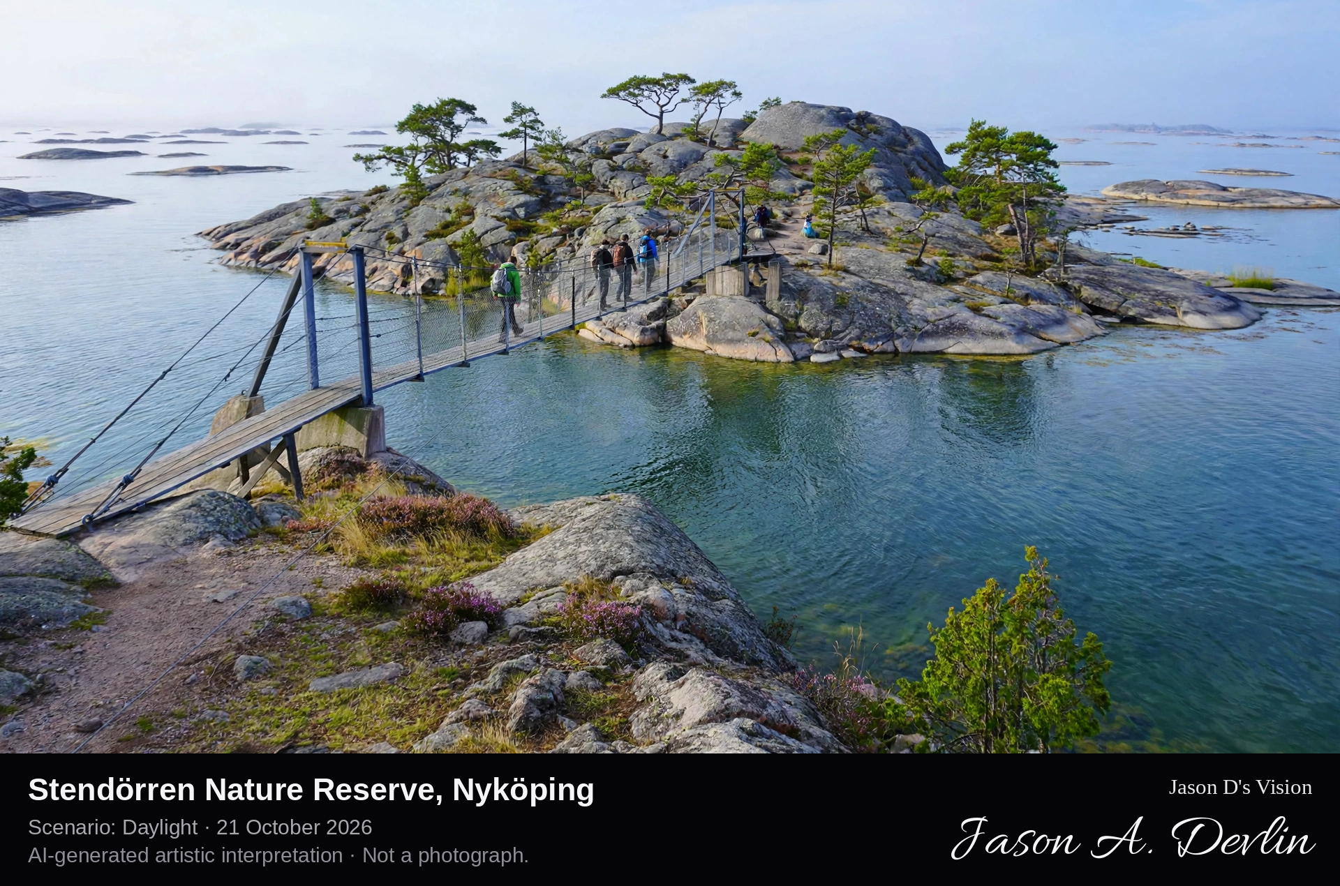
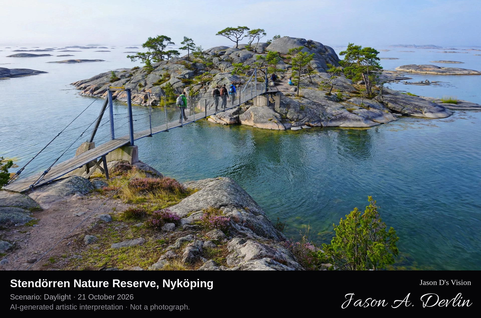
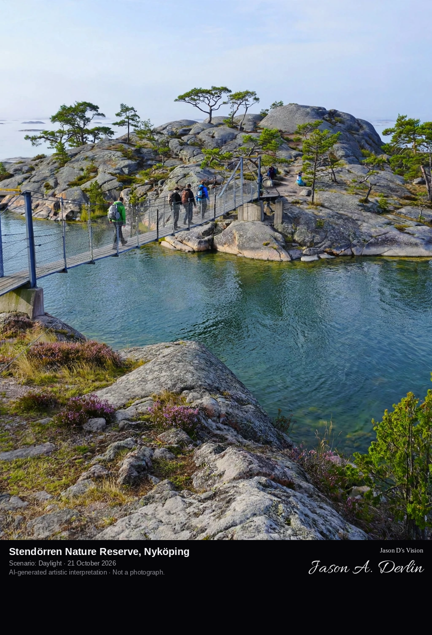
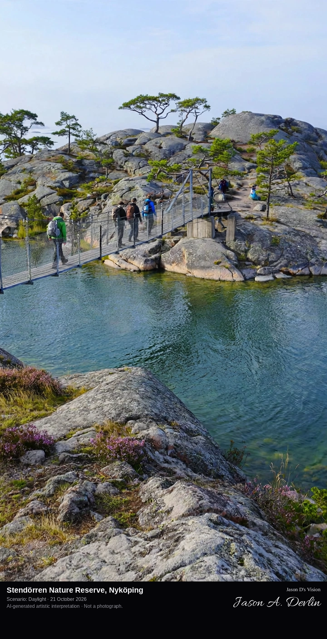
Along the suspension bridge to Stora Krokholmen in Stendörren Nature Reserve, the narrow pedestrian bridge spanning the sound between granite shores, with the island's smooth glacially scoured rocks and wind-shaped pines beyond and the Baltic opening past it.
Stendörren Nature Reserve lies on the Sörmland coast between Nyköping and Trosa, covering just under 1,000 hectares of which more than 70 percent is water. Its name means the stone door, after the narrow sound that boats must thread between the islands. Four suspension bridges link the mainland to the islands of Stora Krokholmen and Äspskär, so visitors can walk out into the archipelago without a boat. The islands carry the classic Sörmland coast landscape of smooth, glacially scoured granite slabs, sheltered coves and wind-shaped pine woods, and the Sörmlandsleden long-distance trail passes through the reserve.
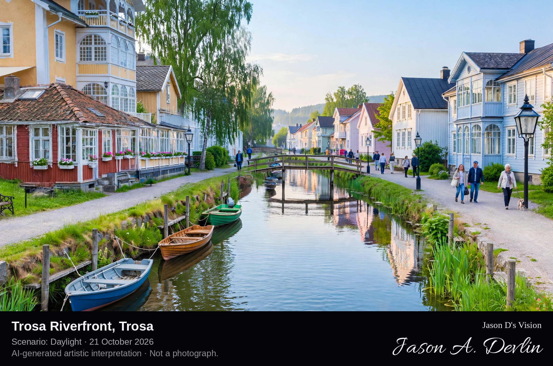
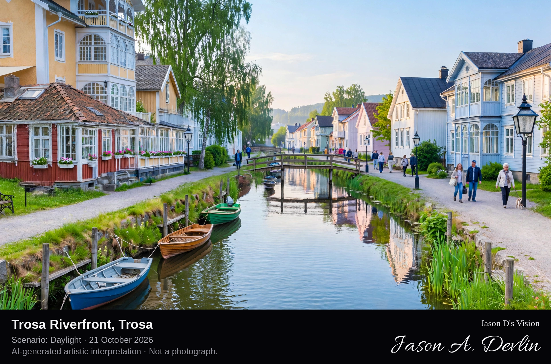
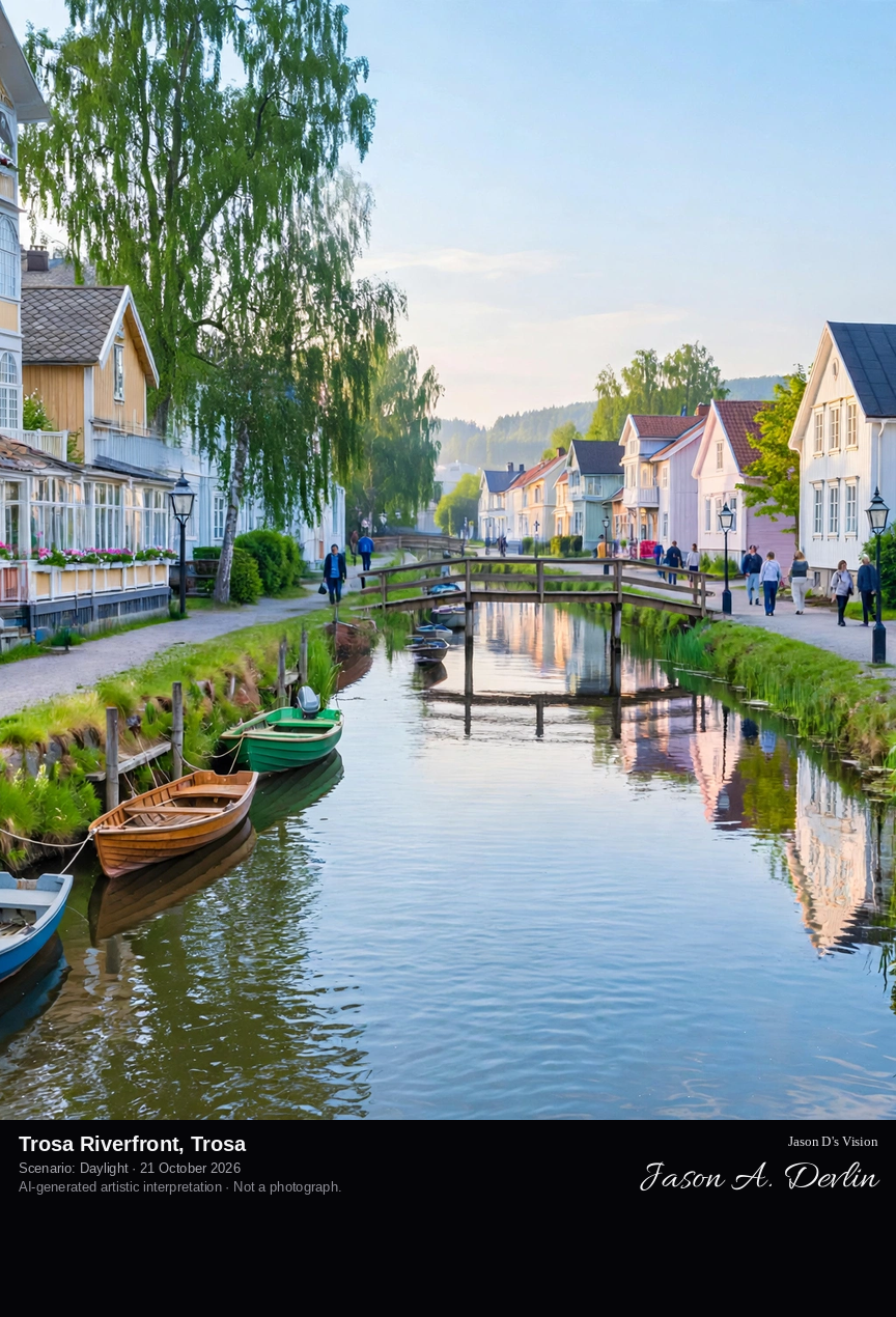
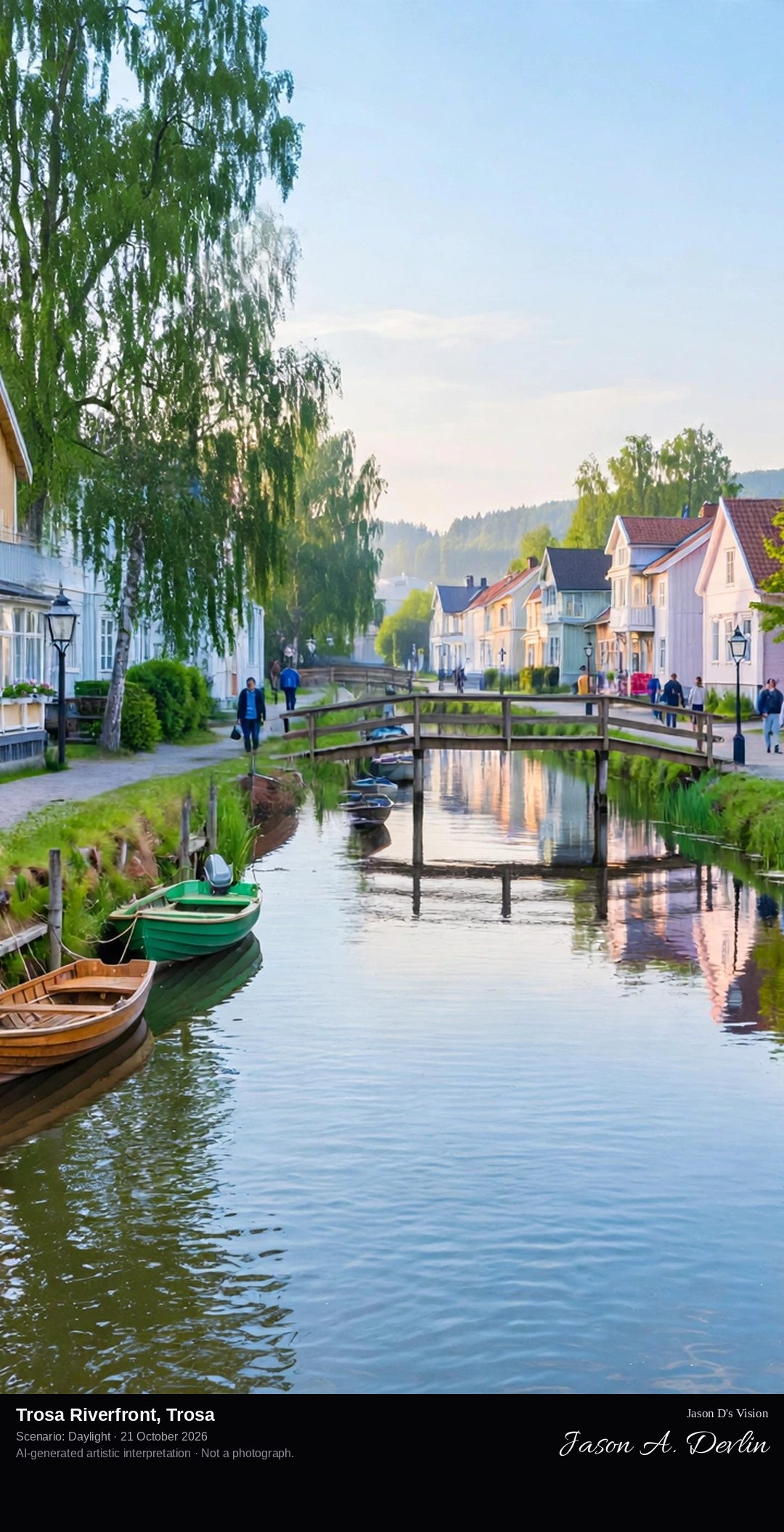
At river level along the Trosaån in central Trosa, looking along the calm river past small moored boats and little footbridges to rows of colourful historic wooden houses lining both banks.
The Trosaån river runs through the whole of Trosa, from the town centre down to the guest harbour and the Baltic Sea. Colourful wooden houses, many with glazed verandas and decorative woodwork, line both banks, with small boats moored almost outside the front doors and little bridges linking one side to the other. Trosa grew as a fishing and market town — the river once linked it towards Lake Mälaren — and later became a popular 19th-century seaside resort. The town is nicknamed Världens ände, the End of the World, because historically there was only one road in and nowhere further to go than the harbour pier.
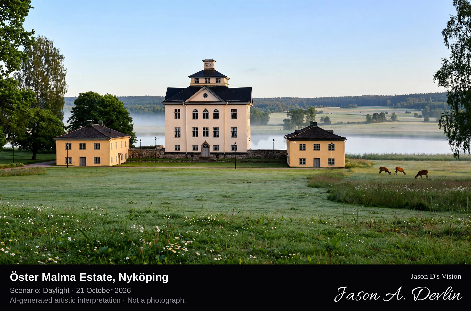
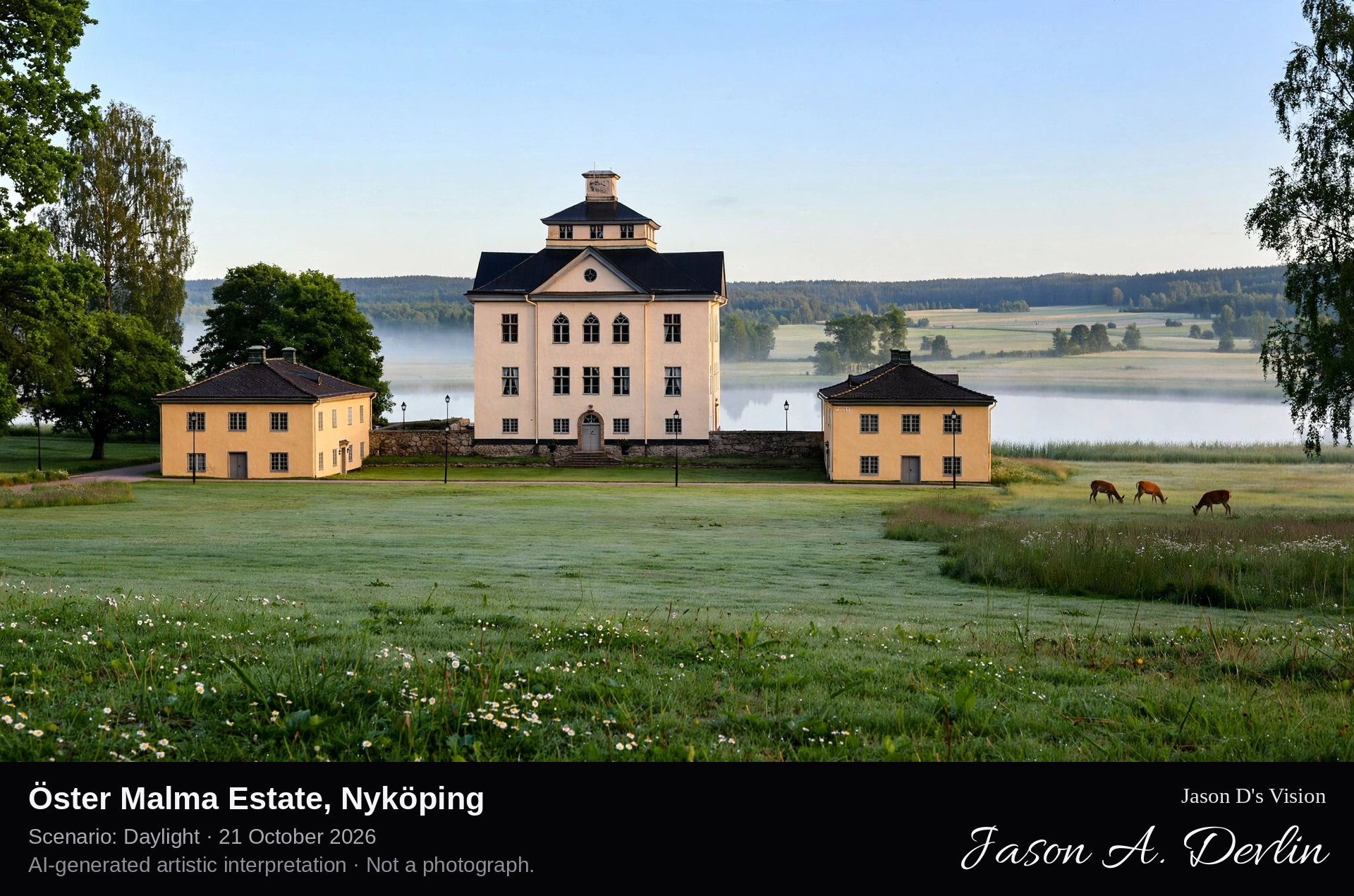
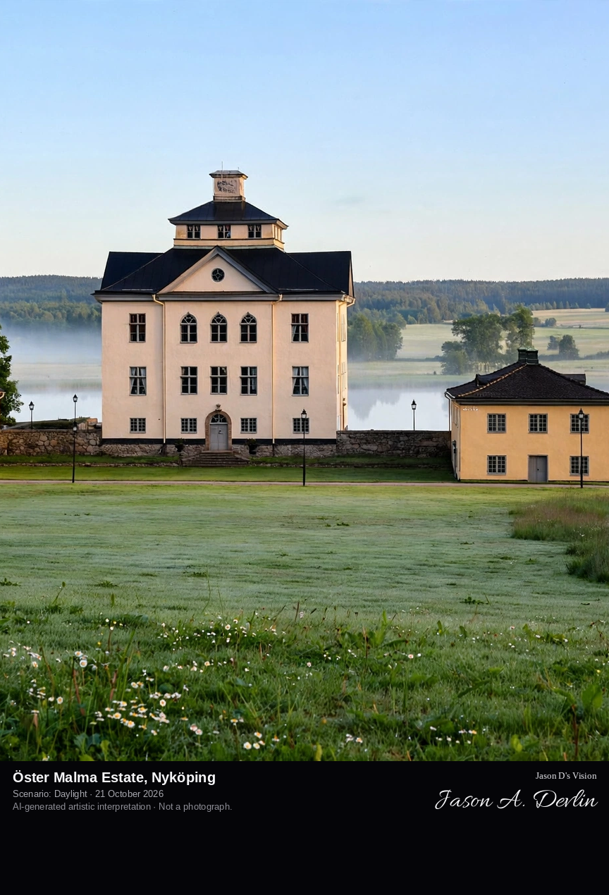
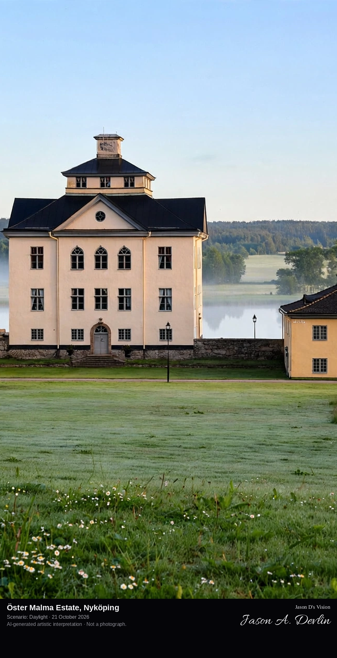
Across the park lawns in front of Öster Malma, the white Baroque manor house framed by its two separate yellow wings, overlooking Lake Malmasjön with meadows and forest beyond.
Öster Malma is a Baroque manor estate in Nyköping municipality, on the shore of Lake Malmasjön amid fields and forest. The white main house was built in 1668 for Wilhelm Böös Drakenhielm to designs by Jean de la Vallée, and two separate yellow wings frame the front of the house. The estate is regarded as one of Sweden's best-preserved Baroque manors. Since 1946 it has been the seat of the Swedish Association for Hunting, which runs it as a conference and training centre, and part of the grounds holds its wildlife park with Nordic animals such as moose and deer in large enclosures.
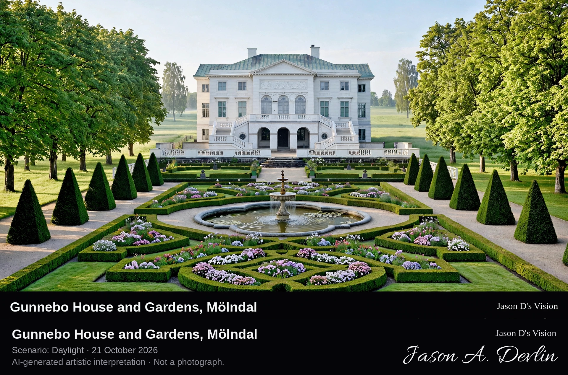
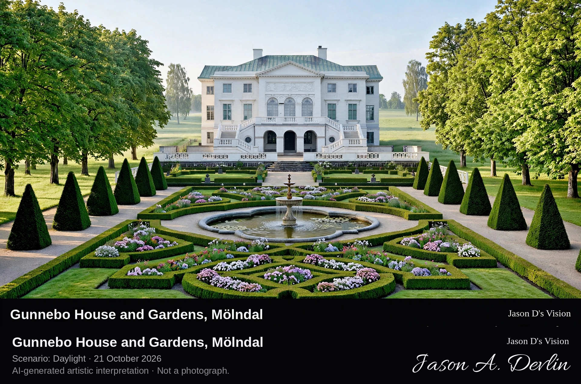
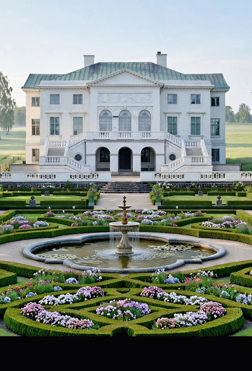
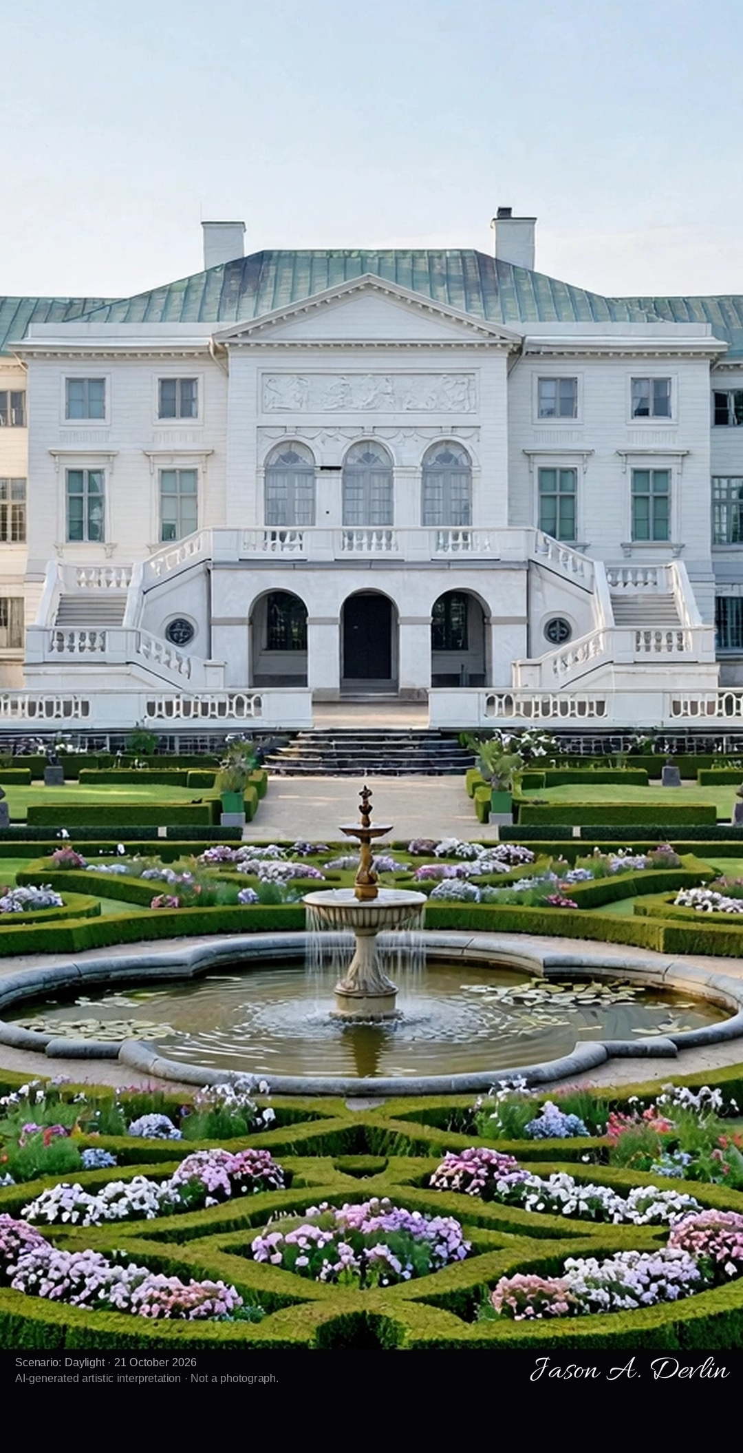
Along the formal garden's main axis south of Gunnebo House, the light-coloured neoclassical wooden manor standing on its ridge at the centre, with the flower parterre, sunken boulingrin and lime avenues running symmetrically away from it.
Gunnebo House in Mölndal was designed in the 1780s by Gothenburg's city architect Carl Wilhelm Carlberg as a summer residence for the merchant John Hall, and the house was inaugurated in 1796. House, gardens and even the smallest details were designed as one whole, and more than 200 of Carlberg's original drawings survive to guide today's restorations. A strong main axis runs through the house to the north and south: the southern formal garden descends through a flower parterre and boskets to a sunken grass boulingrin and a pond with a fountain, enclosed by lime avenues dating from the 18th century. The estate, set between the lakes Stensjön and Rådasjön, is one of Sweden's most complete 18th-century estates.
From the harbour pier at Skärhamn, the long low Nordic Watercolour Museum building at the water's edge, its red-painted vertical timber panels and dark window frames above the harbour water, with boats and smooth coastal rocks around it.
The Nordic Watercolour Museum stands at the water's edge in Skärhamn, the main harbour town on the island of Tjörn, at Södra hamnen 6. It opened in the summer of 2000, designed by the Danish architects Niels Bruun and Henrik Corfitsen, and was extended by a further 400 square metres in 2012. The closed parts of its facades are clad in red-painted vertical wooden panels with dark-grey aluminium window and door frames, and a long pier runs beside it into the harbour. The museum is an arena for art based on water, pigment and paper, showing watercolour exhibitions from around the world, and five guest studios stand on stilts across the water on Bockholmen, linked by a slender wooden bridge.
From the Angsjö main-entrance shore of Björnlandet National Park, looking across the still forest lake Angsjön to a wall of ancient pine forest, with the lakeside rest area at the frame's edge.
Björnlandet, in Åsele municipality in Västerbotten, is counted among Sweden's most valuable primeval forests, protected as a national park since 1991. Its main entrance stands at Angsjö, beside the lake Angsjön, whose shores are noted for rich birdlife. Many of the park's pines are more than 180 years old, and charred stumps and fire-scarred trunks record the forest fires that shaped the woods, the last great one in 1831. Trails lead from the Angsjön shore deep into the roadless old-growth forest.
From the documented observation tower at Hamra National Park, a wide panorama over the open mire: golden-brown bog pools and cotton grass stretching to the dark conifer forest wall, with the wooden boardwalk crossing the wetland below.
Hamra National Park, in Ljusdal municipality, was founded in 1909 as a small reserve of old forest and expanded in 2011 to 1,383 hectares of forest, mire and stream. A wide wooden boardwalk leads from the main entrance some 500 metres to the viewpoint at the lake Svansjön, and the park's observation tower opens a wide view over the open mires. The oldest trees in Hamra are around 400 years old, and in August the cloudberries ripen on the bogs.
At Hemudden, the entrance headland in the south of Ängsö: the shelter and shore where boats land, looking across a flower-rich hay meadow and grazed pasture toward the island's oak groves and the croft ground, with the archipelago water at the frame's edge.
Ängsö, in the Stockholm archipelago off Norrtälje, is one of Sweden's first national parks, founded in 1909 to preserve a traditional farming landscape. The island was once two islands, joined during the 19th century as the land rose; a farmer settled here in 1725 and a croft was built at Hemudden, the southern headland where the park entrance and its information shelter now stand. Its hay meadows, pollarded trees and grazing pastures are still managed by the old methods, keeping the flower-rich cultural landscape alive.
From the documented viewing platform on the trail from Skaite, the Muddusfallet waterfall plunging 42 metres in white steps down its dark rock face into the gorge, framed by the ancient pine forest of Muddus National Park.
Muddus, or Muttos, in Jokkmokk municipality is Sweden's largest forest national park and part of the Laponia UNESCO World Heritage Site. Its best-known sight is the Muddusfallet waterfall, where the river falls 42 metres down a rock face into a deep gorge, reached by the marked trail from Skaite and seen from a viewing platform. The park's roadless old-growth forest holds pines of great age — Sweden's oldest pine, thought to be over 700 years old, stands in Muddus — among marshlands, bog lakes and ravines.
From the documented Stora Idgölenrundan trail at the lake's shore: the quiet forest lake Stora Idgölen, dotted with white and yellow water lilies, enclosed by moss-covered boulders and the untouched old-growth conifer forest of Norra Kvill.
Norra Kvill, northwest of Vimmerby in Småland, was declared a national park in 1927 and extended in 1994 to 111 hectares of genuine virgin forest, where no tree has been felled for at least 150 years. In the middle of the park lies Stora Idgölen, its largest lake, also called Trollsjön, the magic lake, for the white and yellow water lilies that bloom on it in summer. The marked Stora Idgölenrundan trail circles through boulder fields and past fire-scarred trees nearly 400 years old to the lake shore.
From the Skekarsbo observation tower, a wide panorama over Färnebofjärden where the Dalälven spreads into a broad island-dotted bay of open water, flooded meadows and dark forest shores.
At Skekarsbo in Färnebofjärden National Park, a 20-metre observation tower built in 1995 rises above the shore and offers a panoramic view over the major part of the park. Below it the Dalälven spreads out into the wide bay of Färnebofjärden, one of a succession of broad fjärdar the river floods each spring, dotted with many of the park's more than 200 islands. The park, established in 1998 as Sweden's 26th national park, sits where northern and southern species meet, and over 200 bird species have been recorded here. The green-marked Skekarsboslingan loop trail passes the tower on its way through old forest to a shore shelter at Brättnäset.
At the Trollberget entrance on the western shore of Lake Åsnen, past the great split boulder and mossy rock formations of Trollberget, through lakeside forest to the open water of the Åsnen archipelago.
Trollberget is the western entrance to Åsnen National Park, which was opened in 2018 as Sweden's 30th national park. The entrance is named after the legendary Trollberget, a great split boulder, and its rocky gorge — where legend says the trolls celebrated Christmas — is a favourite with visiting families. The area is often called Åsnen in miniature, because deciduous forest, pine and spruce, lake shores and marsh forest all meet in a small area. Beyond the shore, Lake Åsnen opens into an inland archipelago of more than 1,000 islands with some 700 kilometres of shoreline, about three-quarters of the park being water.
Along the fine-gravel Bökebackeslingan loop path through the ancient beech, oak and ash woodland of Dalby Söderskog, with spring flowers carpeting the forest floor.
The Bökebackeslingan is a 600-metre circular path of fine gravel through Dalby Söderskog National Park, made accessible for wheelchairs and prams, with benches and tables along the way. Dalby Söderskog, protected in 1918, covers only 36 hectares and is Sweden's smallest national park — a fragment of the ancient deciduous forest that once covered Skåne, left largely untouched to develop freely. Very old beech, oak, ash and elm trees shade the path, dead and fallen trunks are left as habitat, and in late April and early May the floor is carpeted with white and yellow wood anemones and other spring flowers. An old earth bank, the Hästhagevallen, of still unknown origin rings parts of the wood.
The Djurö lighthouse station above Malbergshamn harbour on the northern shore of Djurö island — the lighthouse and its keeper's residence on wave-washed rock, with the open water of Lake Vänern beyond.
On the northern headland of Djurö island, above the natural harbour of Malbergshamn, stands the lighthouse station of Djurö National Park, an archipelago of some 35 islands and skerries in the middle of Lake Vänern, Sweden's largest lake. Warning fires are believed to have burned on this headland for centuries before the first lighthouse was built in 1874, connected to a keeper's residence; in 1912 the old lighthouse and house were replaced by the present ones, and the last lighthouse keeper left the island in 1969. Djurö was inhabited from the early 1500s by fishing families, and the national park, established in 1991, is reachable only by boat — Malbergshamn is its best-known harbour and one of its four entrances.
On the Lövstigen trail where it crosses Storängen in Garphyttan National Park — the open flower-rich hay meadow in the foreground giving way to the hazel and deciduous woodland at its edge.
Storängen, the great meadow, lies at the heart of Garphyttan National Park, one of Sweden's oldest national parks, established in 1909 on land that once belonged to the Östra gården mining estate. The park's open land is mostly old fields kept open by annual haymaking, preserving a traditional meadow flora of cowslips, viper's grass and milkwort, with wild bees and butterflies, that has vanished from most modern farmland. The Lövstigen, a green-marked gravel trail of about 1.6 kilometres adapted for wheelchairs and pushchairs, crosses this landscape where meadow meets deciduous woodland and hazel scrub. Around Midsummer the meadows are in full bloom before the year's hay cut.
Across the wide pale sand spit at Bredsandsudde on the north-western tip of Gotska Sandön, with low marram-grass dunes, a broad flat beach and shallow Baltic shallows crowded with gulls and terns.
Bredsandsudde is the wide sand headland on the north-western part of Gotska Sandön, the remote Baltic island reached only by boat that has been a national park since 1909. The Bredsandsslingan trail leads here through a landscape constantly shaped and reshaped by wind, waves and sea currents, so the shoreline visibly changes from one year to the next. Low sand dunes and a broad flat beach run out into shallow water at the point. Bredsandsudde is also an excellent place for birdwatching, especially for seabirds, with large numbers of gulls and terns often seen here.
Across the dredged, sheltered harbour at Kumpula on the southern side of Sandskär, with guest jetties and small boats in the foreground and the old fishing village's low wooden cabins and boathouses along the shore behind.
Kumpula, on the southern side of Sandskär, is the surviving fishing village of the largest island in Haparanda Archipelago National Park, at the northern end of the Bay of Bothnia. Sandskär was long a base for fishing Baltic herring and hunting seals, and the remains and buildings of the old fishing village are still visible at Kumpula. Its dredged, sheltered harbour is the island's best landing place, with guest jetties, overnight cabins and a boardwalk, and the island's old chapel, a former granary of 1816, stands preserved near the village with a small graveyard behind it. Tour boats from Haparanda harbour in Nikkala reach Sandskär in about an hour in summer.
Across the green mountain pasture at Nyvallen, Sonfjället's main entrance, toward its low traditional summer-farm buildings and information cabin, with grazing goats and mountain cattle in the meadow, a trailhead sign and conifer forest closing the frame behind — the Sonfjället summit itself is not in view from this pasture-level viewpoint.
Nyvallen is the main entrance to Sonfjället National Park, reached by car from Hedeviken, where the small visitor centre Naturinformation Sonfjället stands open from the end of June to the end of September. Nyvallens fäbod is both the park's information point and an active mountain pasture, a traditional summer farm worked with goats and mountain cattle, where visitors can learn about the park, join guided tours and try traditional food. Several of the park's marked hiking trails start from Nyvallen, beside a car park and a rest area with a fire pit. This scene is the pasture and entrance itself, at farm level among its meadows and forest edge.
From the rocky northern summit of Stenshuvud, the park's highest point at 97 metres, looking out over the curving coast and the open water of Hanöbukten, with gneiss rock and low scrub in the foreground and the sandy shore far below.
Stenshuvud is a residual mountain of gneiss and porphyry rising 97 metres at the end of the Linderödsåsen ridge on the Österlen coast of Skåne, just south of Kivik. It has three viewpoints, and the northern peak, the highest, offers the widest view, over Hanöbukten bay and the Baltic; on a clear day the Danish island of Bornholm can be seen as a blue silhouette on the horizon. The mountain drops steeply to the sea shore, and below it lie the national park's beech and hornbeam forests, sandy beaches and the remains of a Migration Period hillfort. Stenshuvud has long served as a seamark for Baltic shipping.
On the identified Tresticklaleden segment from Råbocken at the wooden bridge over Tresticklasundet, the narrow lake sound crossed just inside the park, with sparse moss- and lichen-covered pine forest and still forest lakes on either side of the trail.
Råbocken, on the eastern side of Tresticklan National Park in Dals-Ed municipality near the Norwegian border, is the park's main entrance, signposted from the road between Ed and Nössemark. From its car parks a marked trail of about 700 metres leads to the park boundary, where the Tresticklaleden, also called Bråtaneleden, begins its circuit of this unusually large roadless forest. The identified segment rendered here is the trail's bridge over Tresticklasundet, the narrow sound the loop crosses before climbing toward Orshöjden and the old crofts of Karelös and Bråtane. The park's nature is sparse, barren pine forest with lichen- and moss-covered rocks and a large number of lakes, including pines 250 years old or more.
Every image in Jason D's Vision is free to use for any purpose — personal or commercial. No credit is required. If you'd like to credit, 'Jason D's Vision' is appreciated, but it's entirely your choice.
Jason D's Vision waives its own rights in these images. This doesn't waive anyone else's rights: if an image happens to include a trademark, logo, or other third-party material, those rights still belong to their owners. All images are AI-generated artistic interpretations, not photographs, and use of an image doesn't imply endorsement by Jason D's Vision.